Mt Lincoln and Mt Lafayette, Franconia, NH. 2022-03-05. (Saturday)
Via Falling Waters trail, Franconia Ridge trail, Greenleaf trail, and Old Bridle Path trail. Approx 9 miles.
22 dF +/- at the trailhead to start, 34 dF at the return. A chilling breeze on Haystack’s summit, and into the Lincoln col. Little to no discernible wind thereafter. Unbridled sunshine to start, light high altitude haze around mid-afternoon.
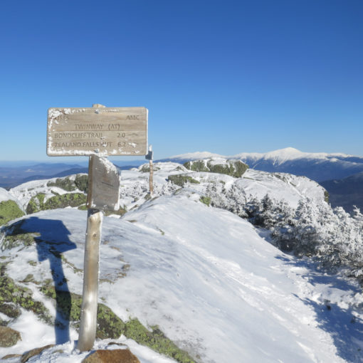
Trailhead: 0900; Little Haystack summit: 1200; Mt Lincoln summit: 1230; Mt Lafayette summit: 1330; Greenleaf hut: 1415; back at car: 1530.
And then there were none. But a whole lot more left to do.
As I write this, I just entered my last two hikes for my winter 48 on my spreadsheet of doom. That’s four rounds of the list done, one for all four seasons. And I’m about halfway into my fifth round of the list. It’s especially the time to pay attention to what mountains I’m doing in which month, rather than which season. At least now, I don’t have to worry about the time as I reach the end of winter, such being the rules of Miriam Underhill’s game that I’ve finally finished.
A nice add-on to the day was meeting one of the earliest finishers of the grid on the trail today. His congratulations felt particularly nice. It’s also nice being able to say, to those you’ve sized up accurately, that “I’m on x hundred on my list” and they know what you’re talking about. What will it be like when I hike up #577?
Anticipation! Promise! Coffee!
The day started out with anticipation and promise. While the anticipation was ever-present during my morning routine at home (coffee, eggs, and so-on) the promise started to slip a little as I got distracted by the bones of last night’s news. Realizing I was falling slightly behind schedule, I made a mad dash for the door, and the mountains beyond, making exactly one single stop along the way for a snack in Ashland.
So often, I find out that the drive up is pretty inconsequential. Today was no different. That isn’t to say it’s always so… I mean, more than once, I’ve come off trail under my headlamp when if I could have left the house a bit earlier, I’d still have had some daylight. I keep wanting to stop procrastinating, and I tell myself I’ll work on it, except I keep putting it off for another day.
Fast forward to just below a summit.
But in any case, I was just below Haystack’s summit, chatting with a hiker on his way down about the conditions up there. In his estimation, by sheer accident I’d actually timed it completely right. The winds had been quite stiff, but now were finally dying down. The sun was warm and the nearest clouds weren’t very near at all. It was one of the most bluebird of bluebird days. Truly a memorable outing. So hey, sometimes leaving a bit late works out, right? Yep!
To be fair, Aeolus wasn’t quite done on Haystack, nor most of the way to Lincoln. But when I read the Higher Summits Forecast last night, they were calling for some modest gloom and wind as the day progressed. Hoo-boy, I’m glad they blew the forecast today. By their guesses, the clouds should have thickened up and the wind should have been spirited. They wrote a rather cryptic “Mostly in the clouds, becoming in the clear under increasingly cloudy skies.” Winds were expected to be in the 35-50 range, gusting to 65. And temps in the upper teens.
I can appreciate that weather in the mountains, especially the wind, is local, meaning what happens on the highest reaches of Washington doesn’t necessarily translate to the lower peaks. But the Franconias are closer in height to the Presidentials than they are to Tecumseh. I probably should have felt something more than I did. I’m not complaining about this fine bit of good fortune. The weather was unusually clement.
Don’t forget, you had to start somewhere. There will be some suffering.
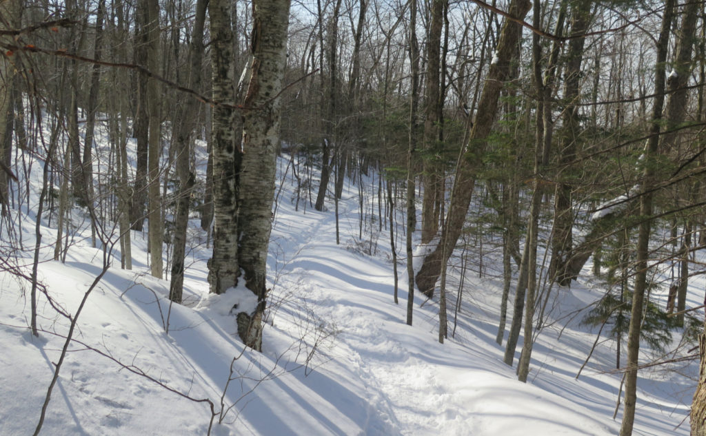
We New Englanders like our fall-lines. It’s not entirely fair to say there aren’t switchbacks on the trails leading to Franconia Ridge (Flume Slide being an obvious exception) but then again, it’s not entirely fair to say there are. Those trails are tough. Anyone who’s driven through the notch knows those peaks rise up high. Bottom to top, it’s more than 3,000 feet of elevation. I’m amused by this. The trailhead is one of the easiest to get to for just about anyone coming from anywhere. Drive up 93. Park. Hike. You barely need to turn your steering wheel.
And yet, many of the people on this hike tend to be newcomers. It’s a bit understandable, because it’s an iconic hike for many reasons. I’m amazed that any of them return to the Whites, instead of tearing away, heading for the wave-washed flatness of the shore, never to be seen again. Thankfully, today sported only one newbie that I know of, and I watched throughout the day as he gamely pressed on. (His brother, an experienced hiker, made sure he didn’t get into trouble, which was spot-on.) He’s going to be sore as can be in the morning, but everyone has to start somewhere, right?
This brings up the subject of that fall-line. It’s robust and soul-crushing, and once you’re past Cloudland Falls, you’re in the thick of it. I made “quick” work of those three miles, summiting in about that many hours. It was slow and arduous.
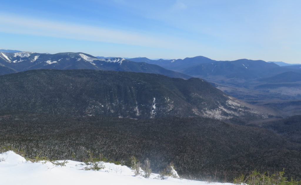
To be fair, I did swing right at the Shining Rock sign, taking in the view of Mt Moosilauke off in the distance. By quirks of topography and trees, Moosilauke was the sum total of the view I got. There was plenty of snow on the ground, and I had no idea what was underneath. With such steep terrain, I wasn’t going to even think of walking further out to any semblance of a “real” view. Not when I could see anything I wanted from the summit, which wasn’t that far away.
Getting back to the ridge.
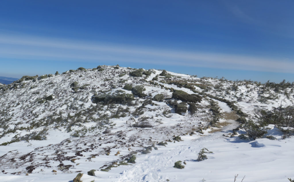
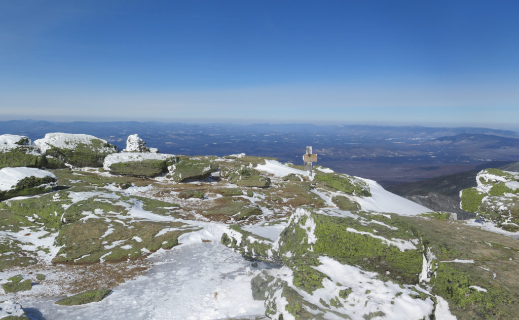
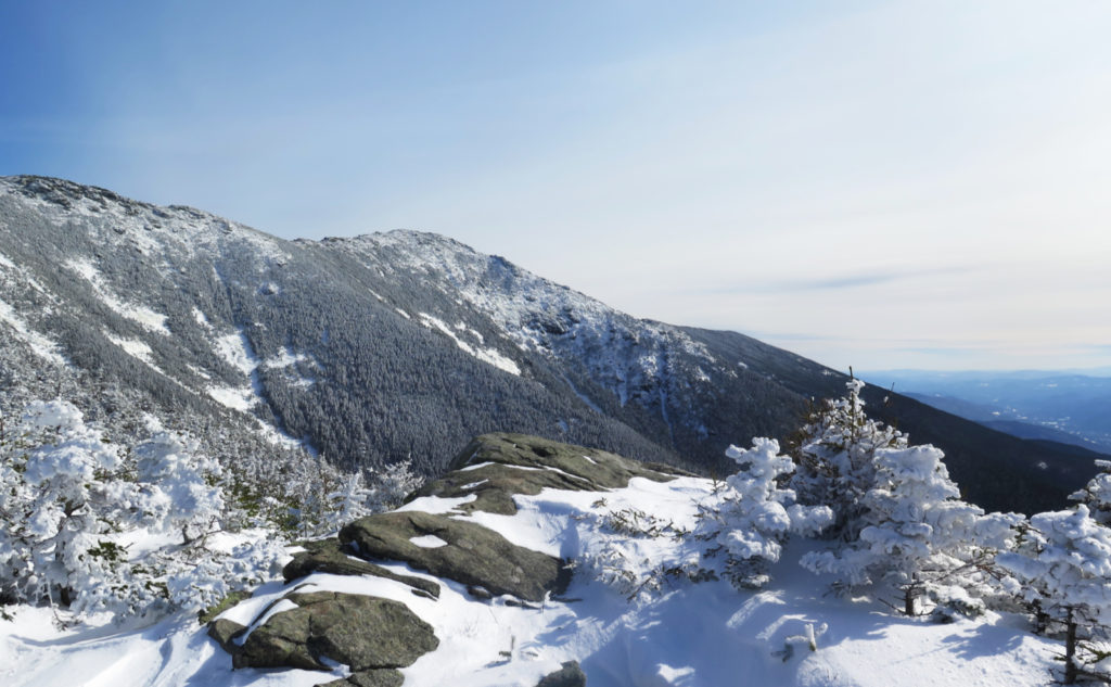
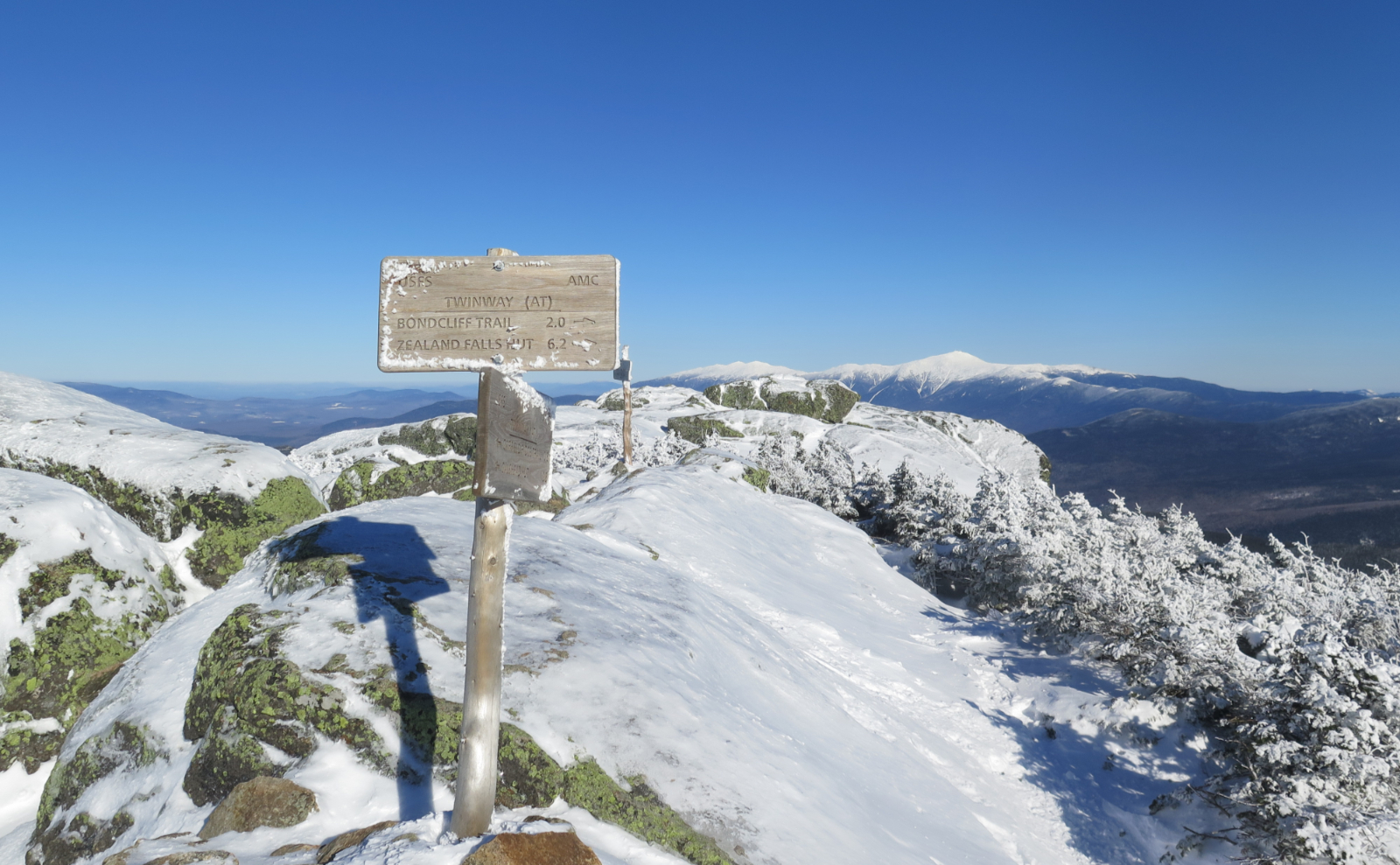
Finally, I detected some blue sky through the trees above. I was reaching the summit at long last. The grade rapidly eased, I emerged from the trees, and shortly thereafter, the signpost on the summit. And what a view! With a slight haze in the distance, it was almost a curve of the earth day in just about all directions. The sun blazed above, and even though the wind shot tiny daggers in through the gaps in my clothes, it felt like springtime was that much closer. I knew I’d be gazing around from higher up once on Lincoln, so after a short look around, I pressed on.
Walking across the ridge should be a relatively easy affair. Looking at the contour intervals on the map, anyone would expect nice, easy hiking. For the most part, it was, in a manner of speaking. Especially if that manner of speaking took into account one simple truth: there is a lot that happens on the trail that falls between the contour lines.
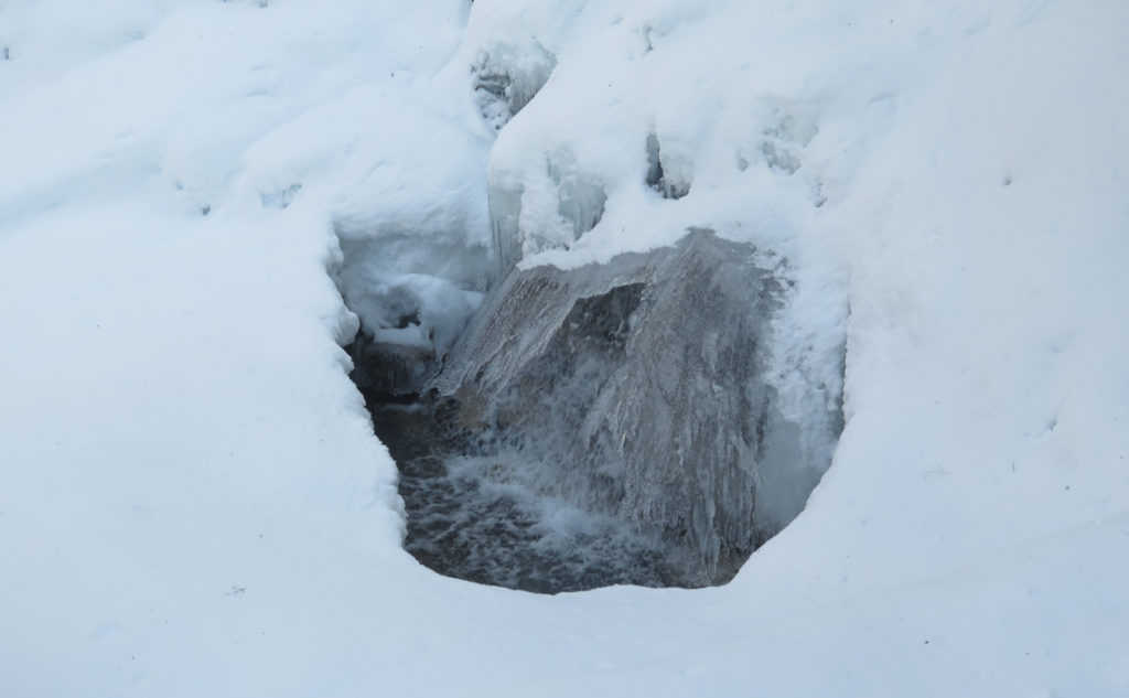
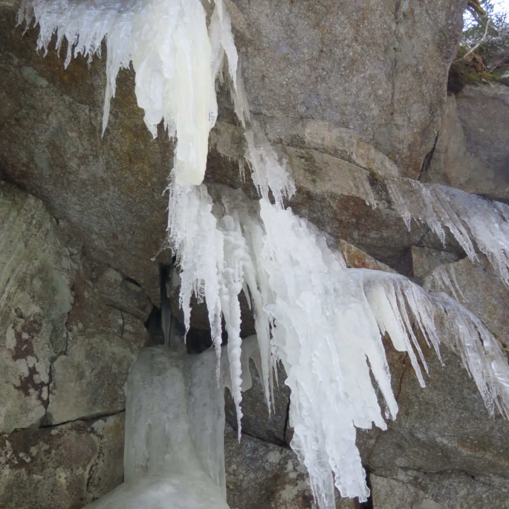
You think it’s a nice, easy grade to the summit? Think again. There are a lot of rocks, and there’s no small amount of stumbling and bumbling over this and that. No small amount of hard, blue ice waiting to slow things down. Hiking up Haystack had already been very strenuous, I was only just approaching the halfway point, and I was getting tired. I wanted a summit!
That which keeps you going.
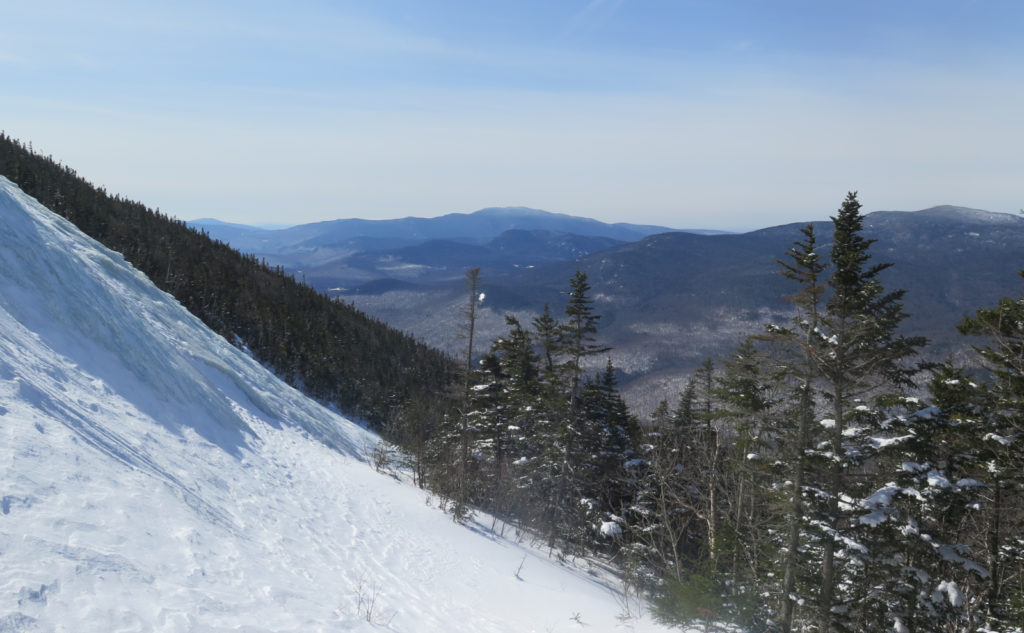
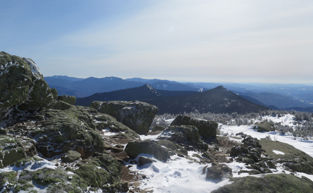
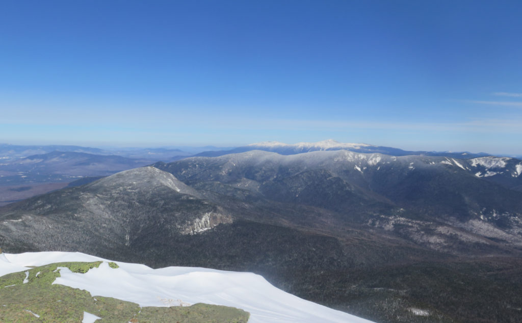
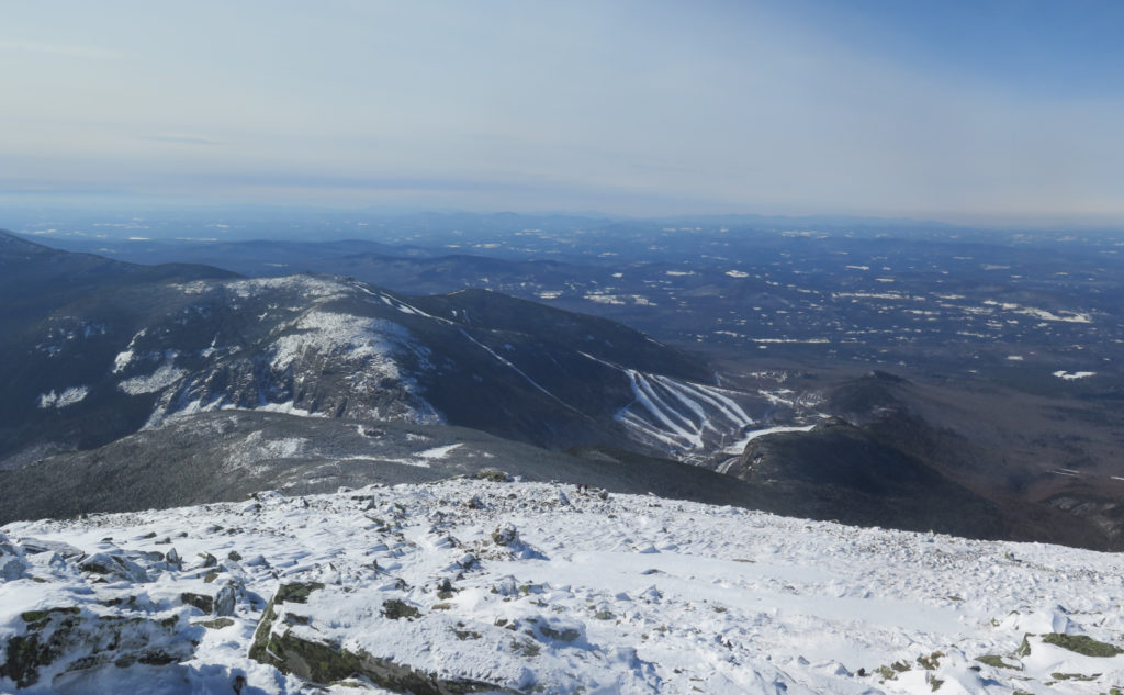
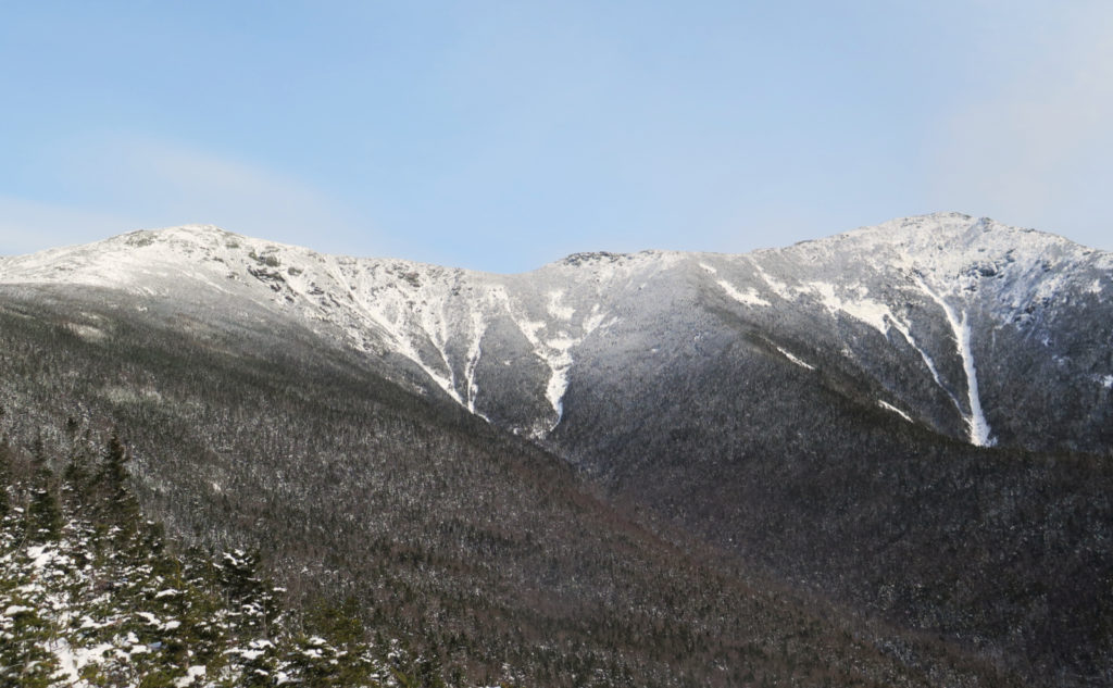
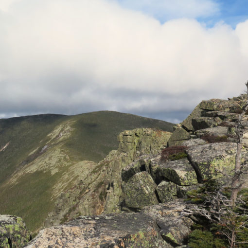
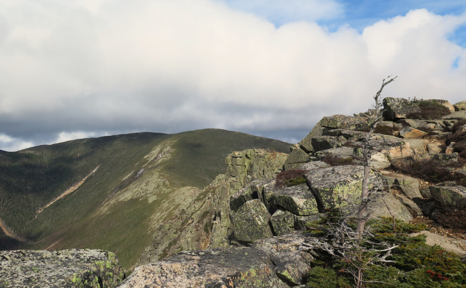
The saving grace is that the col is pretty narrow up there. On a bluebird day, there is no shortage of things to look at. It’s an inspiring place. I was enchanted by the cliffs on Bondcliff, and how the snow magnified their contours. Owl’s Head was at my feet. Carrigain not terribly far away. The Twins. Guyot. Kinsman Ridge, and beyond, Moosilauke. Heck, I even got a very good look at the ski trails on Cannon. I’m not sure I’ve ever known how easy it is to see nearly all of them from up here. Wow! And the views from the top of the slide down the east face of Lincoln set my imagination to wander. Maybe there’s a way down, and some adventure to be had there. I’ve read it’s an interesting way to 13 Falls. Stay tuned.
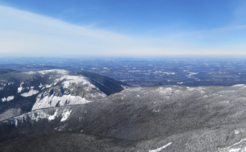
I got to Lincoln’s summit, and things only got better. The views expanded, but they also changed. Some mountains were a bit more hidden, some a bit more exposed. The differences were subtle, but visible. Being higher up, I was able to see a shadow of Mt Mansfield in Vermont. Wow! I also noticed a lot of people were heading one way around the loop, a lot the other way. It’s always been my idea that the loop is best done lowest to highest, but this was something else that got me thinking. What if there’s more than just low to high?
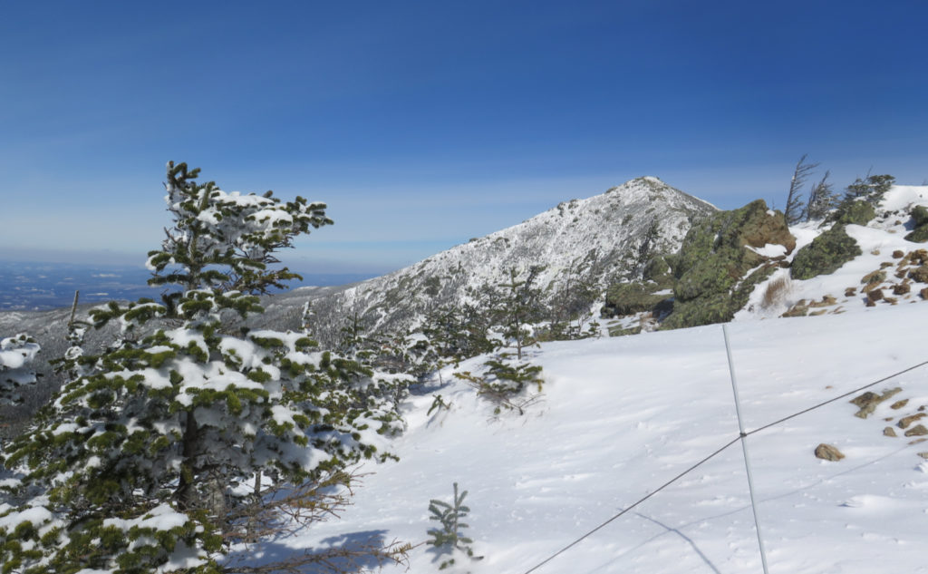
I pressed on, and it was just after I crossed over the mini-summit of North Lincoln that the sheer mass of Lafayette came into its own. It’s hard to describe, and hard to photograph. It’s a bit different to the feeling I felt when looking at Passaconaway from Square Ledge. But hiking across the col, you just see both sides of the mountain dropping away very rapidly. And although the peak doesn’t rise terribly high above the col (indeed, there’s discussion whether to keep Lincoln on the list, due to it missing prominence by five feet) there’s still a sense of mass. It’s a bit like looking down into the Great Gulf when you’re on Mt Clay. There’s just a scale that your brain has to grapple with for a bit. It’s sublime. And courtesy of the fine weather, I was getting smacked very directly with all its mental heft. I live for this.
Victory!
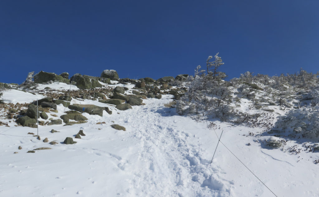
Climbing the summit cone was something like crossing the col. It’s a straightforward trail, but there’s a certain amount of clambering up and over things, not helped at all by the presence of ice. I dug deep and persevered, although despite the excitement of the nearby summit, the trail was certainly extracting its pound of flesh. But I was so close! Press on!
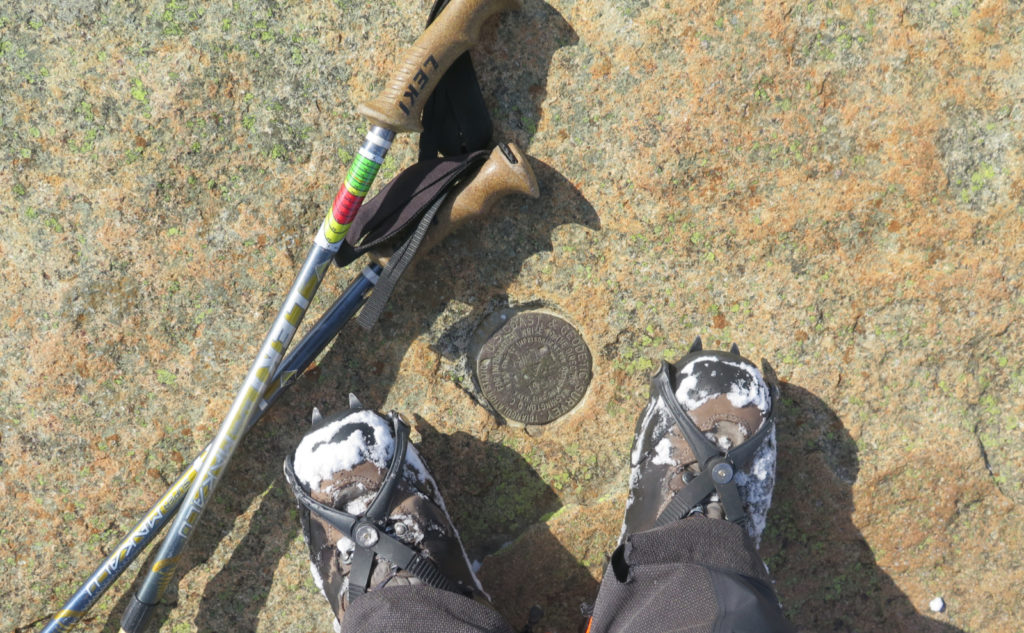
At last, I saw nothing but blue sky above me. The foundation of the old summit house on Lafayette was at my feet. Woo-hoo! I finally got my winter 48, my fourth round of the list in general… so many things checked off the to-do list. I reveled in the moment, and gazed around for awhile at the sights. The skies were still blue, the views were still long. It felt good to be on top. But all things must eventually come to an end. It was time to head down.
Icing on the cake.
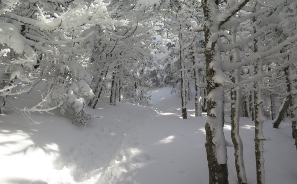
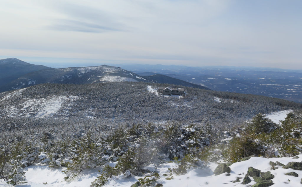
Remember the wind? Yep, it was all but completely exhausted at this point in the day. I made it to Greenleaf hut and my outer layer went into my pack. I needed to cool off, actually. It was getting warm! I made my way to the Old Bridle Path, and raced down. More than once there was a nice glissade. Here and there, the trees parted or there was a ledge, and beyond, a fine view across, with the two peaks in tableau. Eventually, the conifers gave way to the deciduous forest, bringing more sunlight to the trail. It was a magical moment, walking through the golden-hued winter landscape.
I made good time back to the car, still warmed by the sun. My legs were achy, but my spirits high. This was an epic outing. Franconia Notch has always been a spiritual home, and this was one more reason why.
And now, I have an essay to write, to be submitted to the four thousand footer committee, for my winter 48.
…Stay tuned!
As always, stay safe out there.
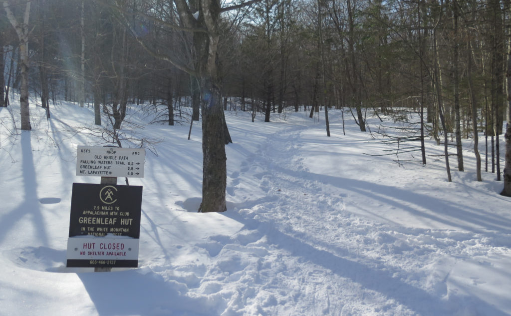

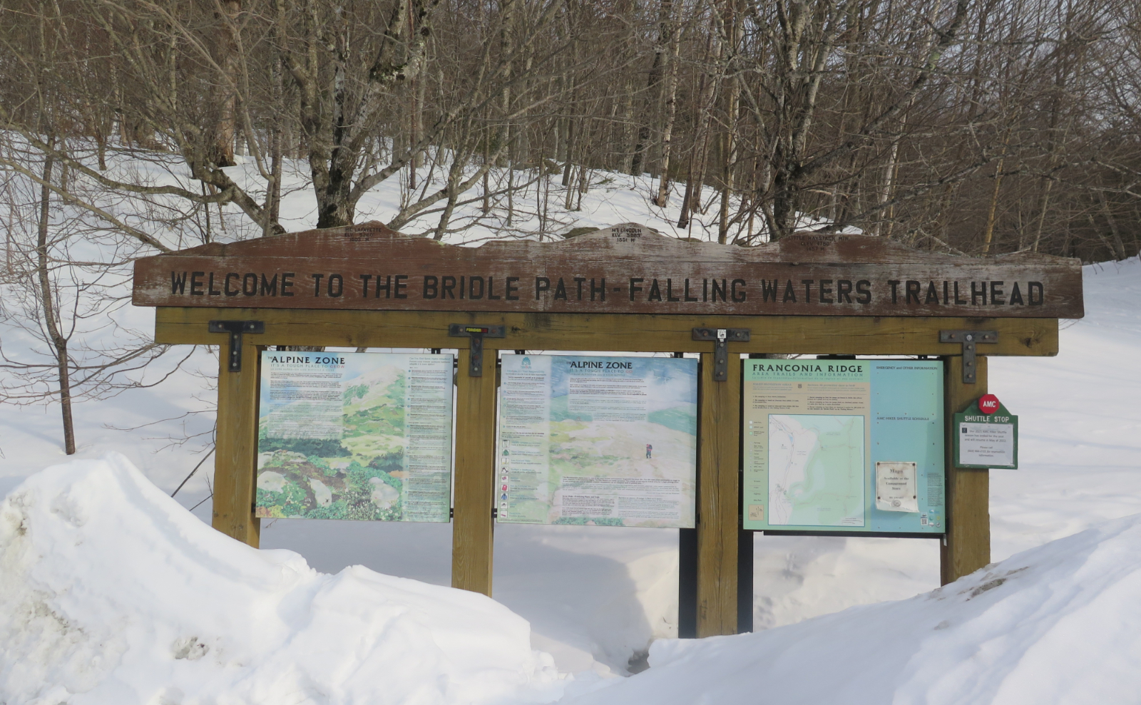
Nuts and Bolts: All it takes is 93 north into Franconia Notch. At the “Trailhead Parking” sign, do the obvious.
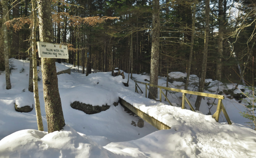
Trailhead will be right by a gigantic sign topped with a profile of Franconia Ridge. Blazes: The ridge itself is on the AT, and so is blazed white. Trails that directly join the AT will feature blue blazes. Note that Greenleaf Trail does indeed branch off the AT, but if you’re taking the Old Bridle Path, note the blazes will switch to yellow. That said, at the time of this writing, the trail is well tramped down by a multitude of hikers, and is very easy to follow almost everywhere. Note at the summit of Lafayette, the first few steps might not be wildly apparent due to winds blowing snow around. If in doubt, walking toward Cannon Mountain is pretty much what you need to do. The first cairn is a short distance off the summit.
If you enjoy reading these posts, please subscribe — stay in the loop! Your email will only be used to alert you of new posts — typically 1-2 times per week. I will not use or share your email for any other purpose without your express permission. And feel free to share via social media using the buttons below.
Find me in the mountains, on this blog, or on Twitter: @Protean_Hiker https://twitter.com/Protean_Hiker/


18 thoughts on “Trip Report: Hiking the Franconia Ridge Classic in Winter! ”
Congrats on your big milestone (haha, more like miles of stones?!). Wishing you many more! ?
Miles of stones indeed! But with those views, I’ll take ’em!
Thanks!
Congrats on finishing your winter 48
Thanks!
You really got a nice day up there! Nice trip report. Too few of us practice this style of narrative.
Thanks for the kind words. This one was harder than most to write for some reason.
Warm regards…
As usual loved your trail report and pictures. Was it crowded on the trail ? I hiked up the Rattle River Trail turned left on Kenduskeag Trail to the summit of Shelburne Moriah Mountain on 3/5/22. There were no other hikers on this trail at all. Passed the Appalachia parking lot and it was completely filled by 8:20 AM
Thanks for the kind words!
In a way, I’m jealous of your hike, not seeing anyone like you did. At the same time, sharing thoughts with some of the hikers as I did made the day more memorable. I’ll be doing that trail in the warmer weather; stay tuned.
Glad you enjoy my words and pics. There’s more coming!
Cheers!
Wow!!!!! That’s great! Prema is one quarter done with the winter list as of Saturday (we did the Hancocks). Lincoln and Lafayette were our first 4ks (had gone up Washington earlier that summer but had to take the van down). You’ve done a lot, considering your Plantar Fasciitis challenge not too long ago. Keep up the good work and enjoy your pursuit of the Grid.
Thanks for the kind words. I’m glad Prema is chipping away at the list. Keep it up! PF still keeps me thinking, because sometimes I have a long day at work, and these days, I can very easily do five miles of walking just doing my job. L&L are a special place for me, so I knew I wanted them to be my last hike. It was everything I could have wanted. I hope you guys have similar good fortune on your last winter 48 hike.
Cheers!
Congrats on your milestone (aka miles of stones)! Awesome!
Thanks! As I got closer, it felt like it was taking forever!
Congrats on your milestone (or miles of stones?!). Wishing you many more.
I have been reading your winter blogs and it is making me want to try some winter hiking. The rocky New England trail conditions seems to disappear under the snow and this is really appealing to me. Not really sure what is needed for equipment at a minimum. Maybe post a recommended list? Thanks for the encouragement.
Hi, and welcome! Consider subscribing!
The idea of a recommended gear list is one that I’ve thought of. I tend to shy away from them though, because I can recommend an item that works for me, but not for you. But I’d read my “ten essentials for hiking” and use that as a jumping off point. Most of what you really need rests between your ears. The rest is just some warm clothing, a good backpack, and a few things to keep you safe in case things don’t go according to plan. I’d start small, with maybe a few excursions on flatter terrain, like Lincoln Woods, the Sawyer River area, and such. A couple miles on snow should give you a sense of what works. I remain sanguine about gear expenditures, because I know that gear reflects an evolution of your needs, not a constant. Someone might come out with an amazing pair of snowshoes next season that completely changes things for me, and so my current pair (for the record, it’s my second overall) will sit on the shelf.
But stay tuned, because I ruminate about such things, and once I can create a resilient framework of advice, I’ll be writing about it.
Cheers!
-C
Congrats, and best wishes for your adventures ahead!
Cindy Lou Who
Thanks to you, Cindy Lou Who!