
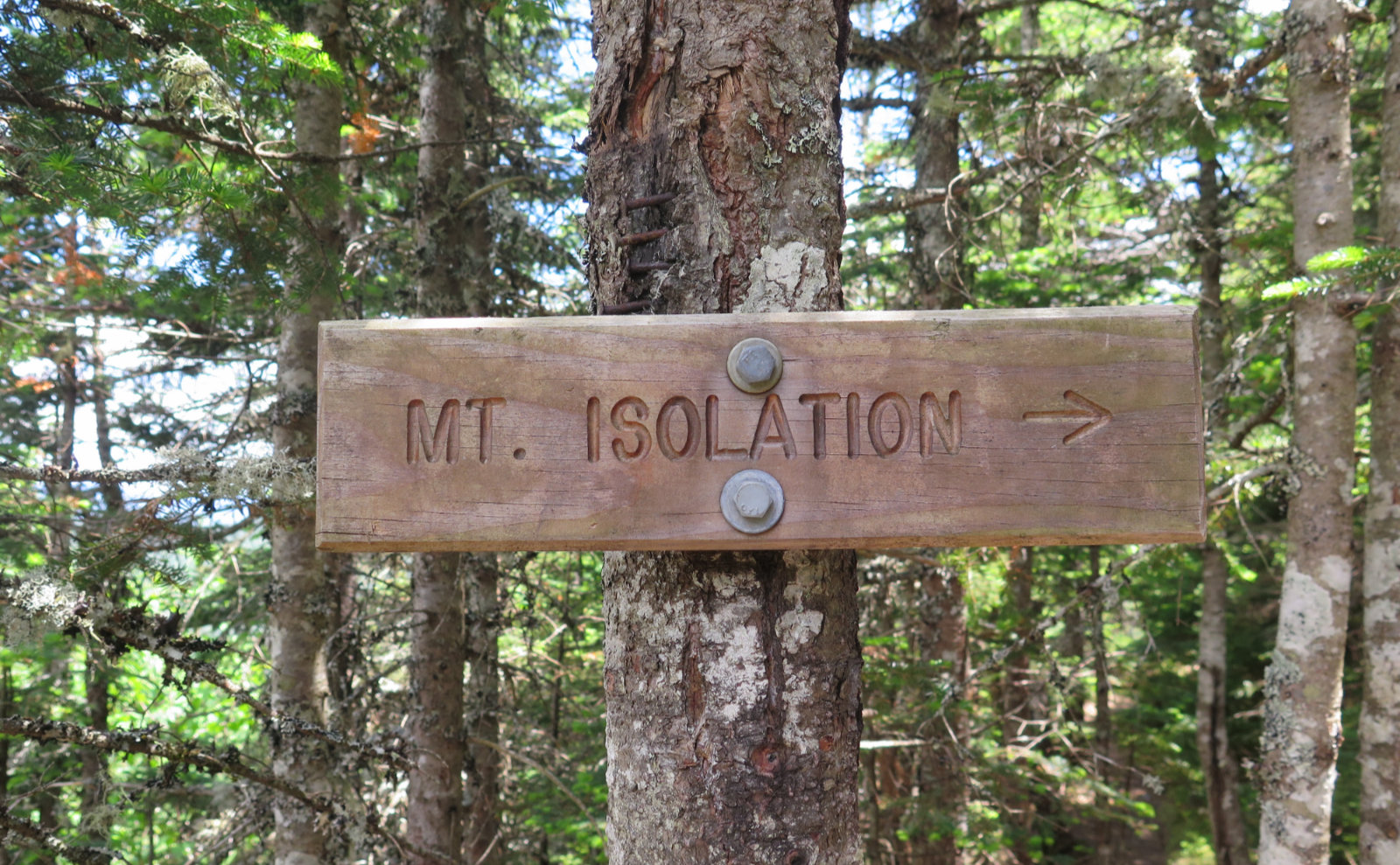
Mt Isolation is… isolated. It’s a long, rugged hike in, but the rewards are huge.
Map
9 posts
The Pemi Loop is a classic that defies expectations. And yet, delivers a fulfilling outing — no matter how tired, I just kept smiling.
The traverse of Wildcat-Carter-Moriah is long and arduous. But its component parts are worth returning to for all the right reasons.
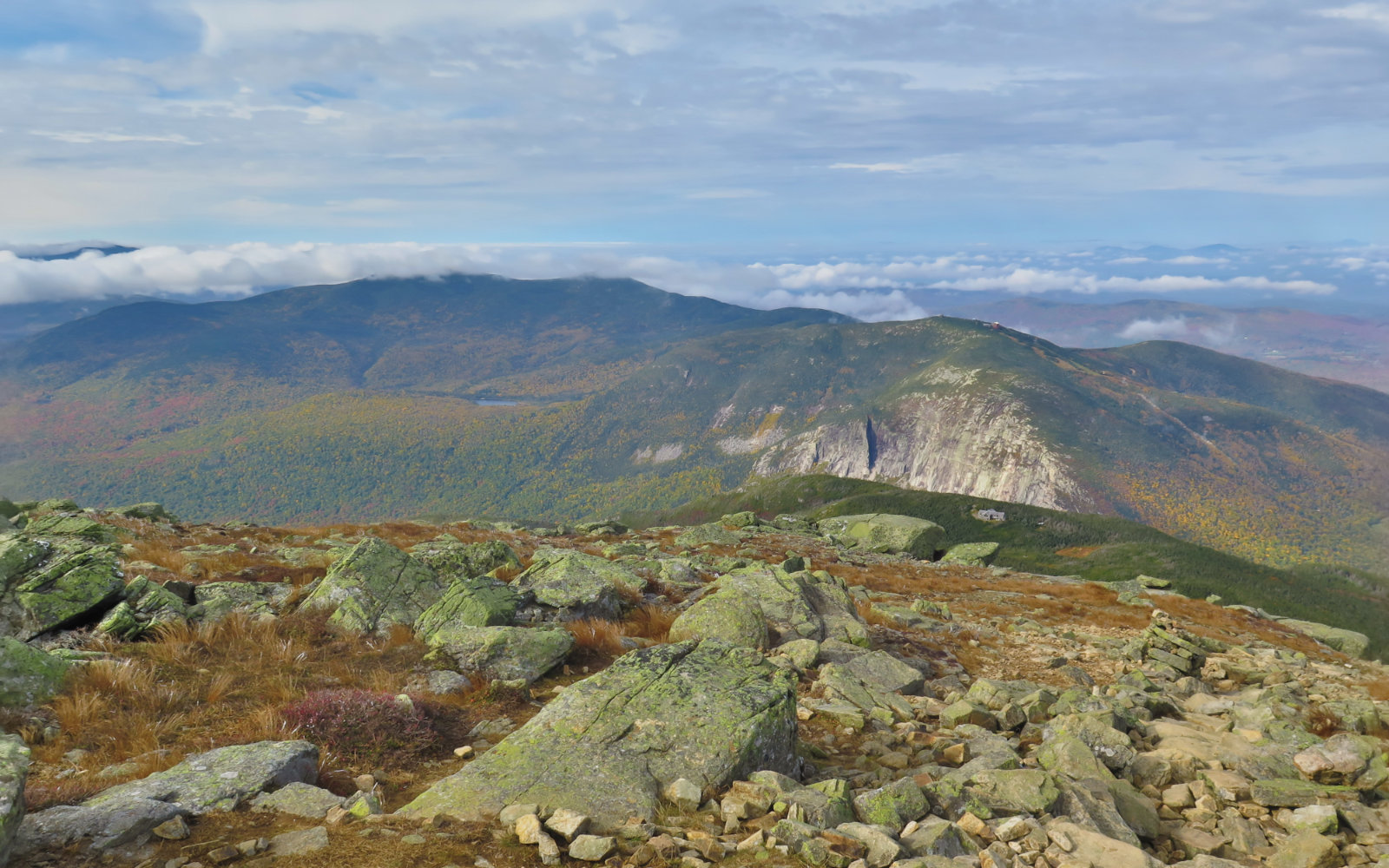
Cannon Mountain gives no quarter on the way up or down, regardless of the route taken. But for your struggles, you’re rewarded mightily.
A point-to-point journey across one of the hardest miles on the New Hampshire section of the Appalachian Trail. But as always, “the trail provides.”
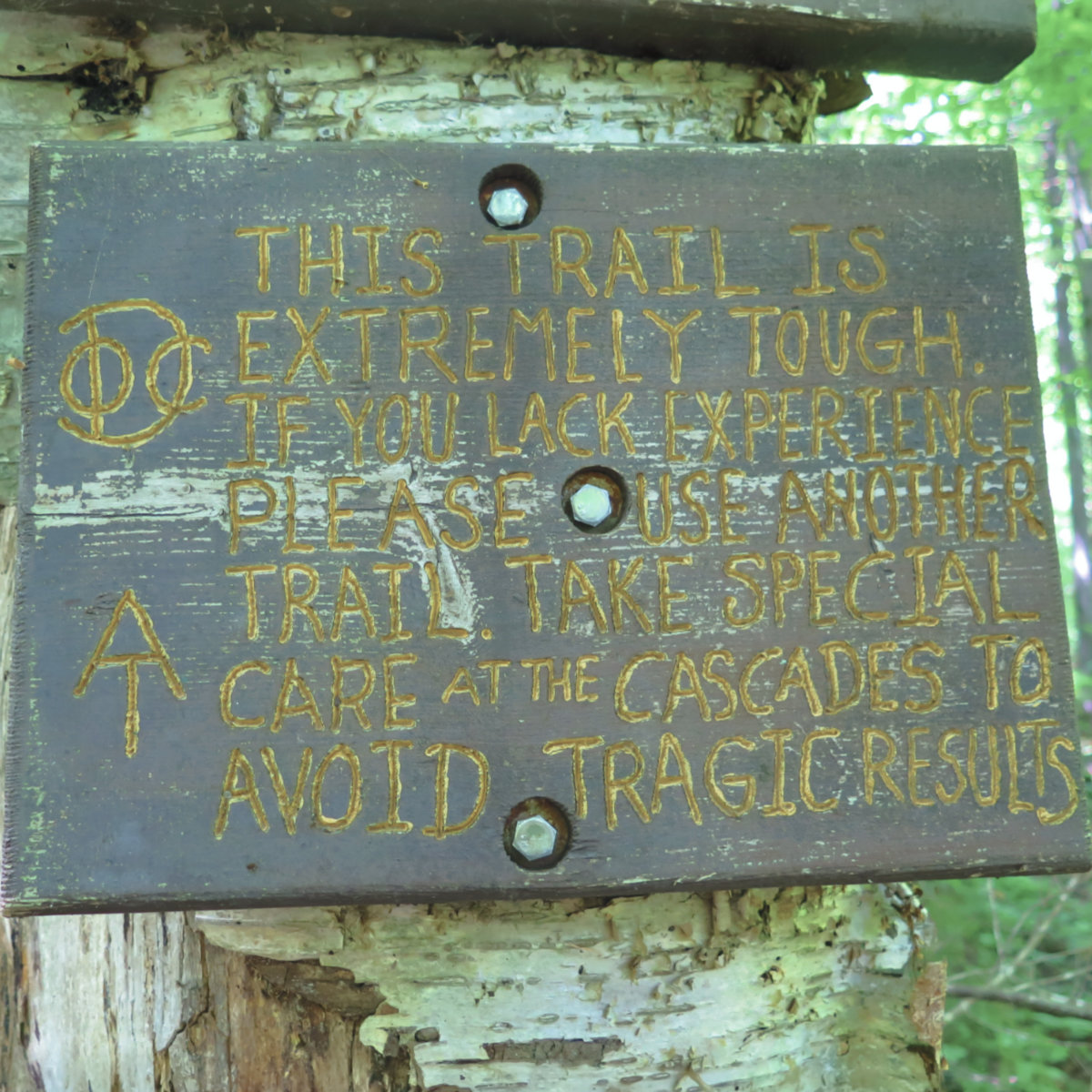
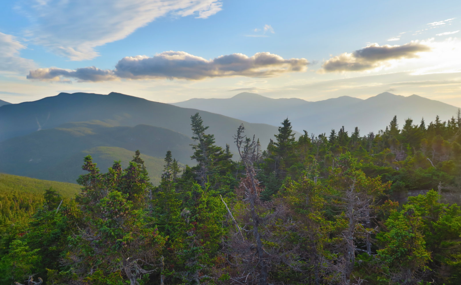
On an exceptionally steep trail, yet it was a good day to be out in the mountains. Hiking Moosilauke never gets old.
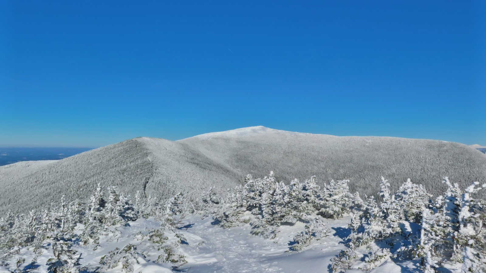
Mt Moosilauke. Benton, NH. 2019-01-17 (Thursday.) Via Glencliff Trail, Approx 8 miles, including South Peak. 1 dF +/- at the trailhead, 5 dF at summit, with negligible winds in the trees, approx 25 MPH wind at the summit. Unbridled sunshine throughout the day. Trailhead: 1000; Moosilauke Summit: 1300; South Summit: 1330; back at car: 1500. (Approx. 5 hours.) I’ll probably have more to write shortly, but the day was amazing […]
And then, there were none! North and South Kinsman Mountain (4,293 and 4,658 feet, respectively), Cannon Mountain (4,100 feet). Franconia, NH. With a crossing over the Cannonballs. 60 dF at trailhead, approx 70 dF at summits. Cloudy to start, giving way to mostly sunny skies and 20-30 miles visibility. Very windy at Cannon summit — approximately 25-30 MPH. Via Lonesome Lake, Fishin’ Jimmy, Kinsman Ridge, and Hi-Cannon trails. Trailhead: 0745. […]
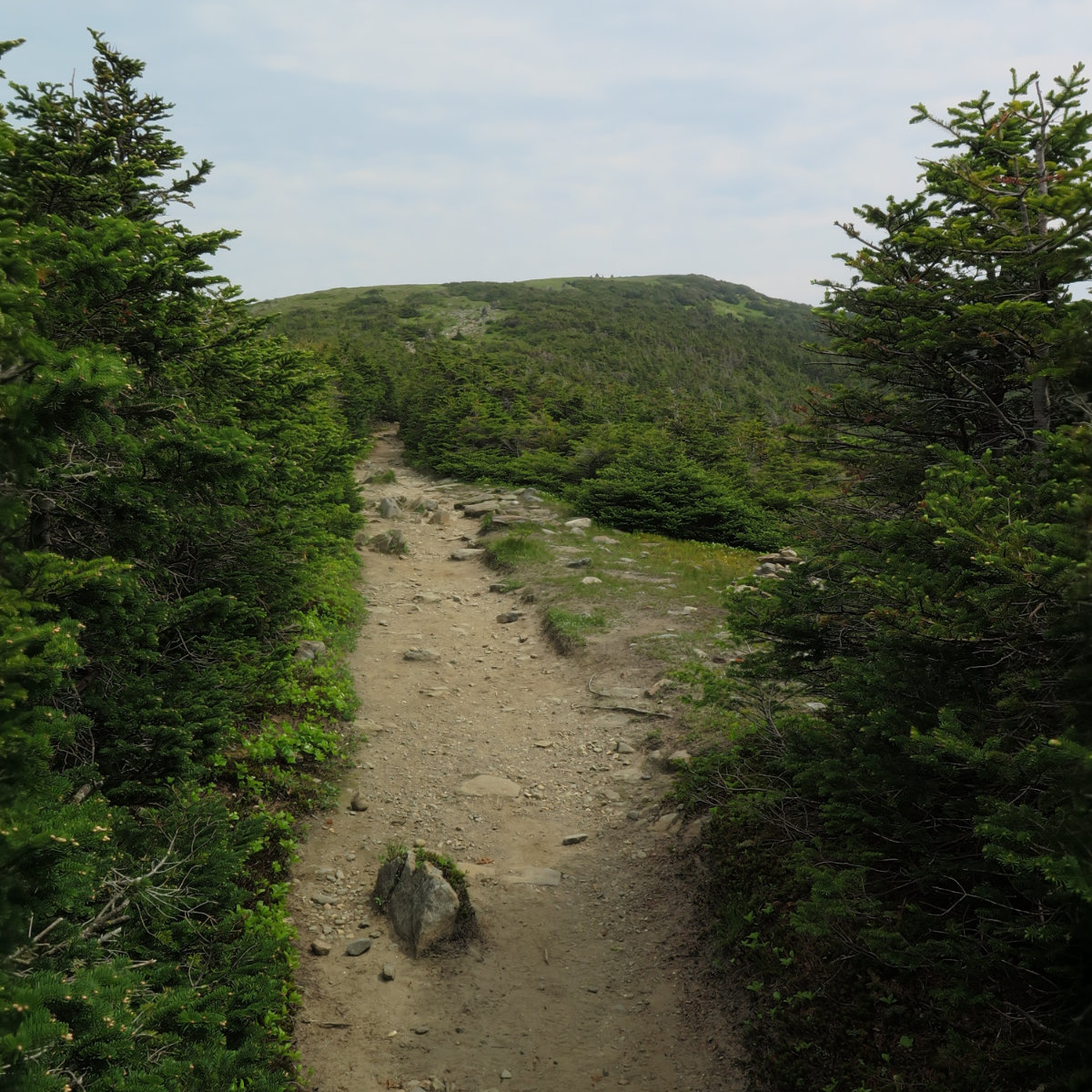
Short, hard, but sweet! (Yet hazy!) Mt Moosilauke. Approx 9 miles. 4,802 feet. 60 dF at trailhead, approx 60 dF at summits, 30 MPH winds above tree line. Sunny throughout, with a hazy overcast sky. Visibility approx 10 miles, max. Very windy at the summit — approximately 25-30 MPH. Trailhead: 0900. Summit: 1115. Car: 1330. This couldn’t have been more straightforward. Hike Glencliff trail up and down. It’s not “hard” […]