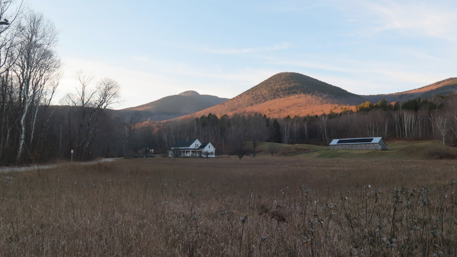
Mt Moosilauke. Benton, NH. 2019-01-17 (Thursday.)
Via Glencliff Trail, Approx 8 miles, including South Peak.
1 dF +/- at the trailhead, 5 dF at summit, with negligible winds in the trees, approx 25 MPH wind at the summit.
Unbridled sunshine throughout the day.
Trailhead: 1000; Moosilauke Summit: 1300; South Summit: 1330; back at car: 1500. (Approx. 5 hours.)
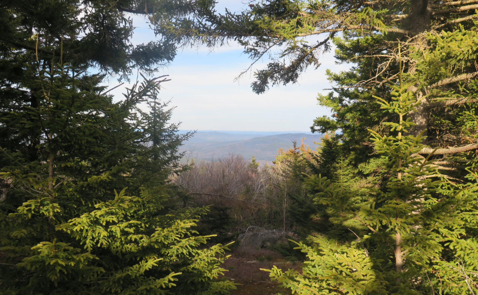
I’ll probably have more to write shortly, but the day was amazing if not cold. The pictures will tell the story pretty well. Passed three hikers and one dog. If I could have had one thing, it would have been a warmer summit. With the wind and the cold socking a one-two punch, I couldn’t stick around to admire the view. To the west, the Green Mountains, and way off, a tiny speck that might have been Mt Marcy in New York. To the east, Maine. To the south, I was probably seeing the higher points of northern Massachusetts. The sky was so clear that just the curve of the earth was the limiting factor.
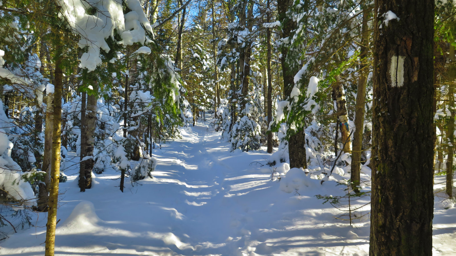
An AT blaze shows the way for those intrepid travelers.
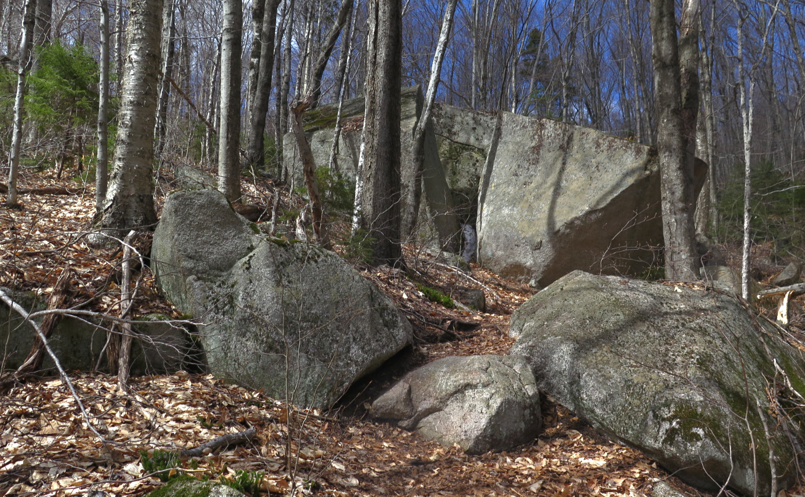
Trail was really nicely tamped down.
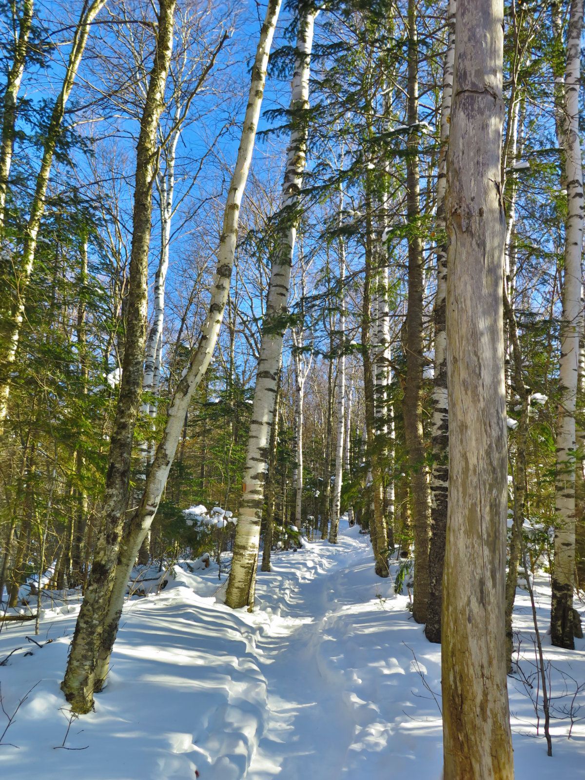
Birches in abundance at the lower elevations.
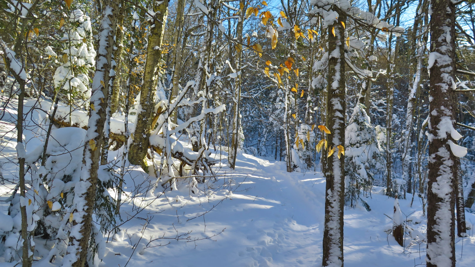
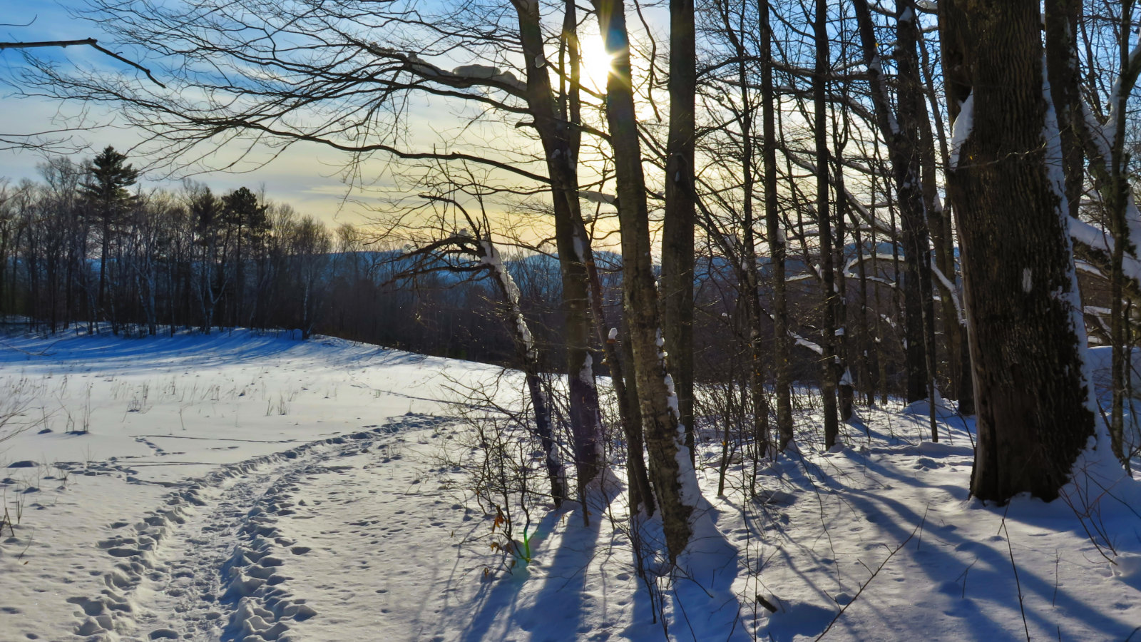
More deciduous trees down low.
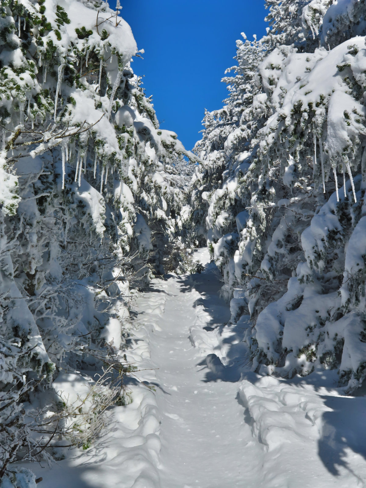
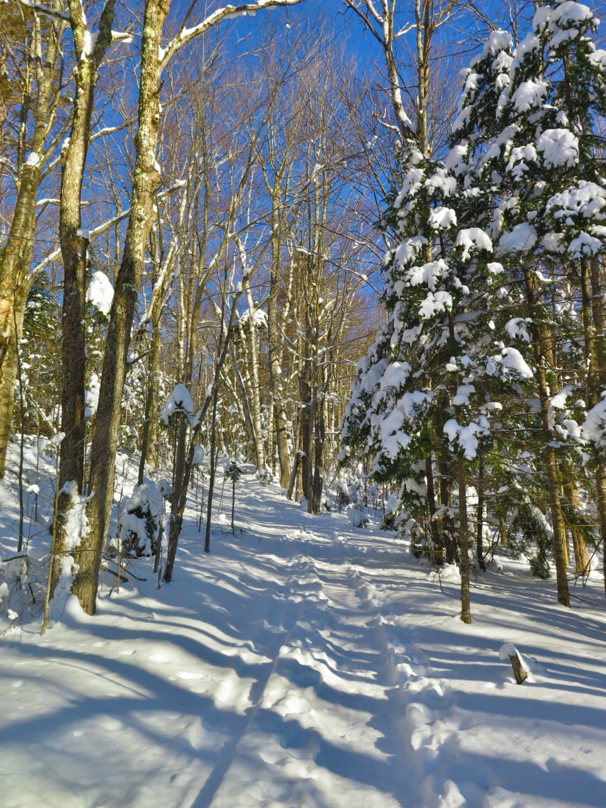
Winter wonderland.
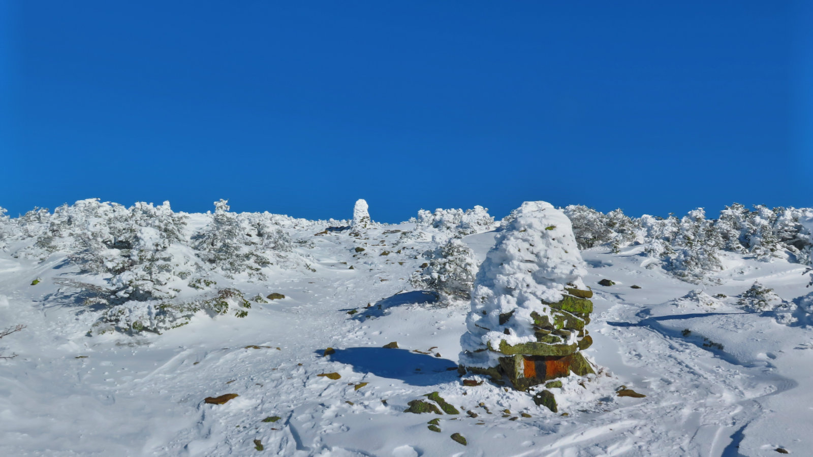
Pretty windswept up top. Those cairns came in very handy.
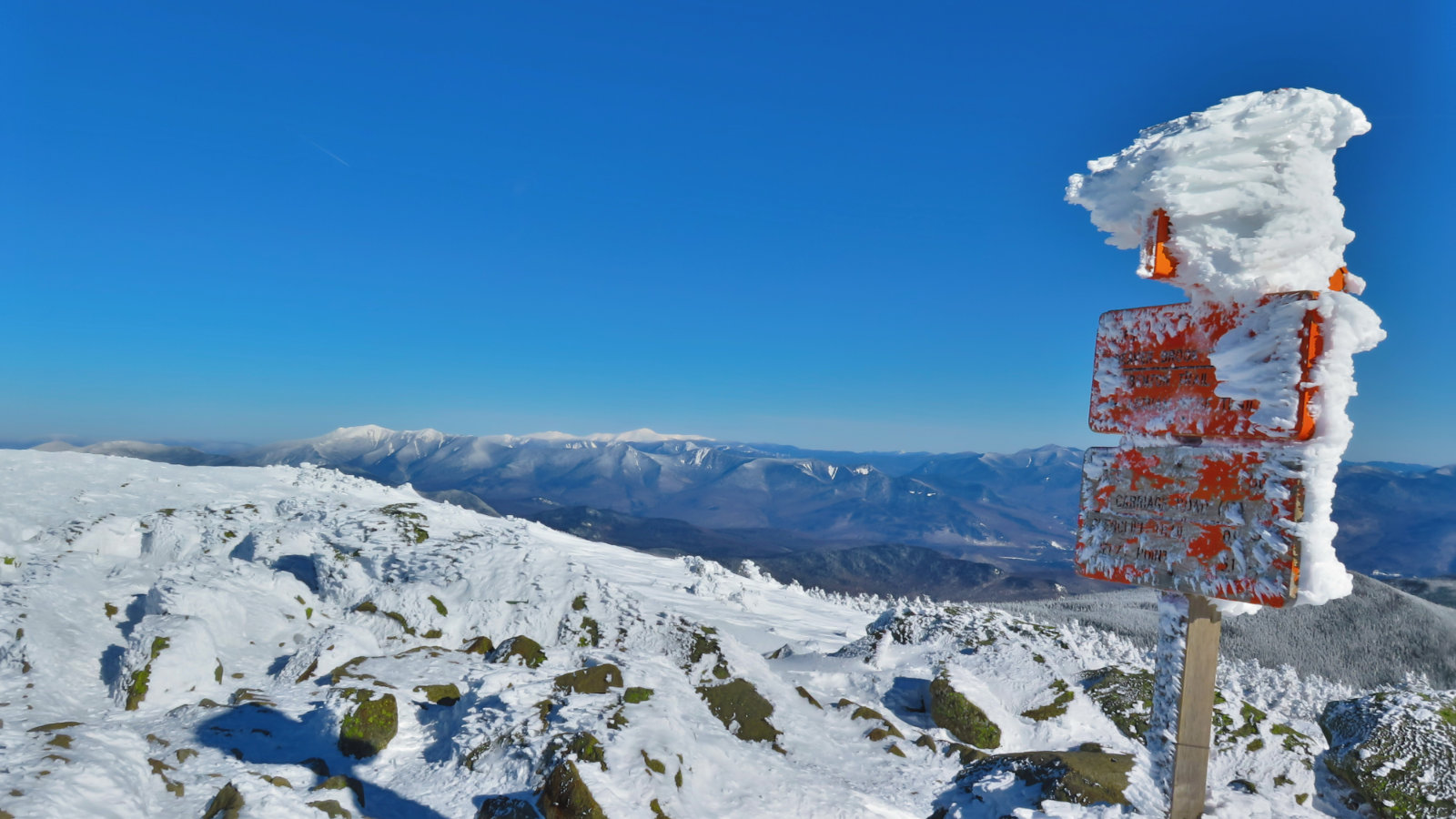
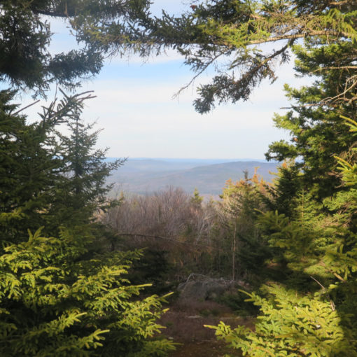
Multi-state view.
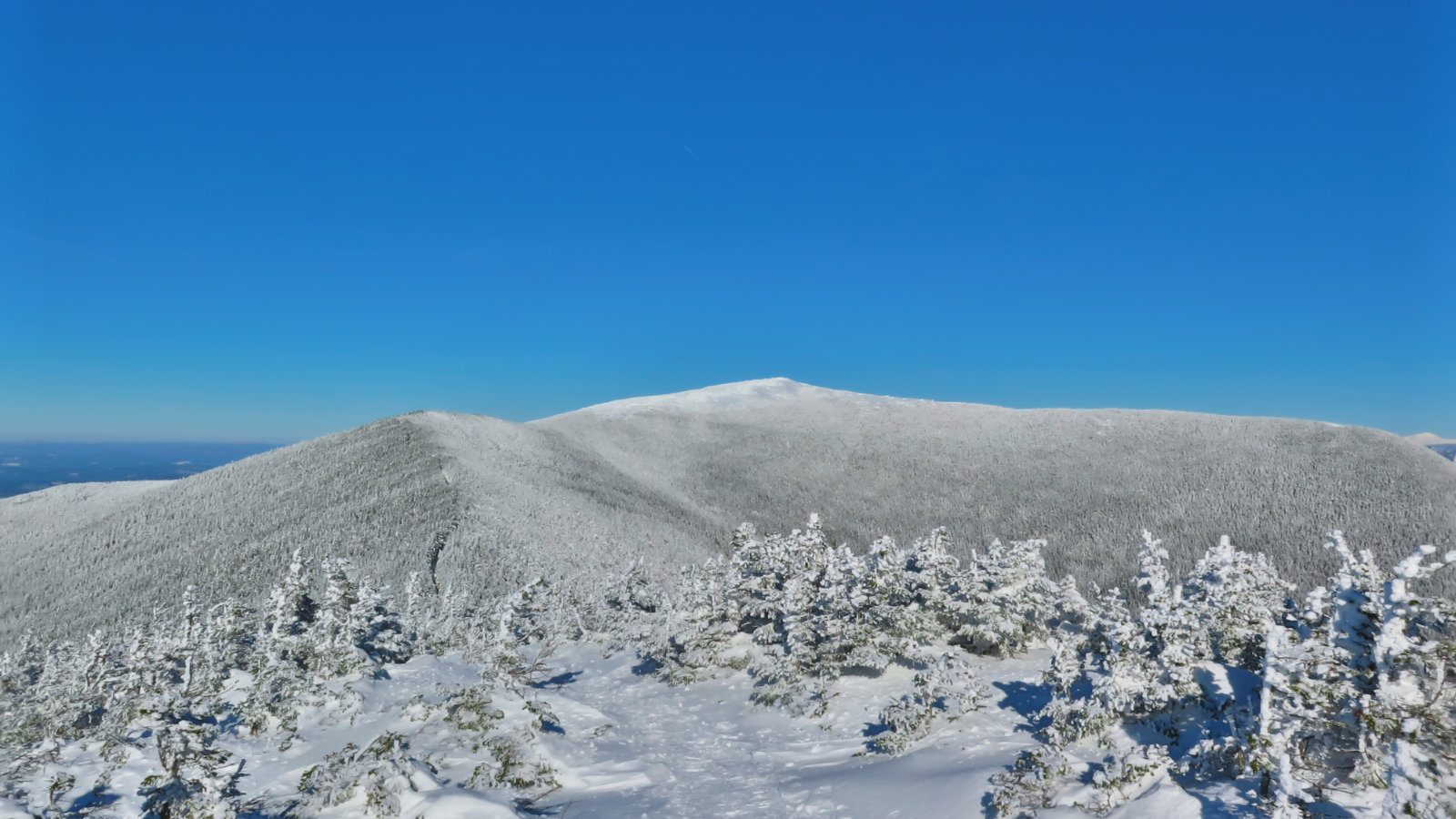
Looking back from the South Summit.
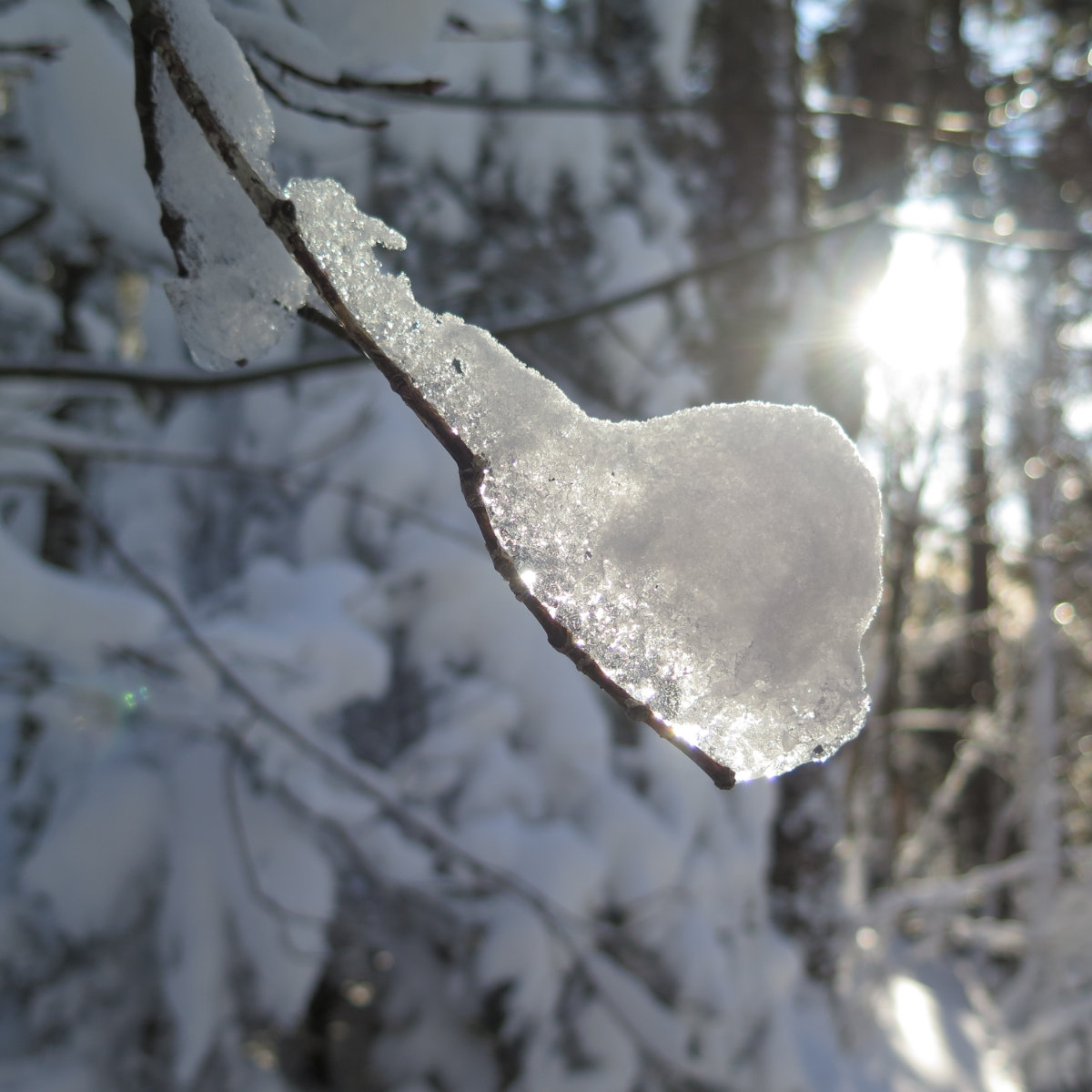
Ice on fire in the afternoon sun.
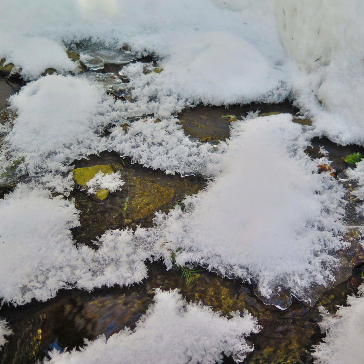
This made me think of Andy Goldsworthy.
Almost back at the trailhead, another AT blaze.
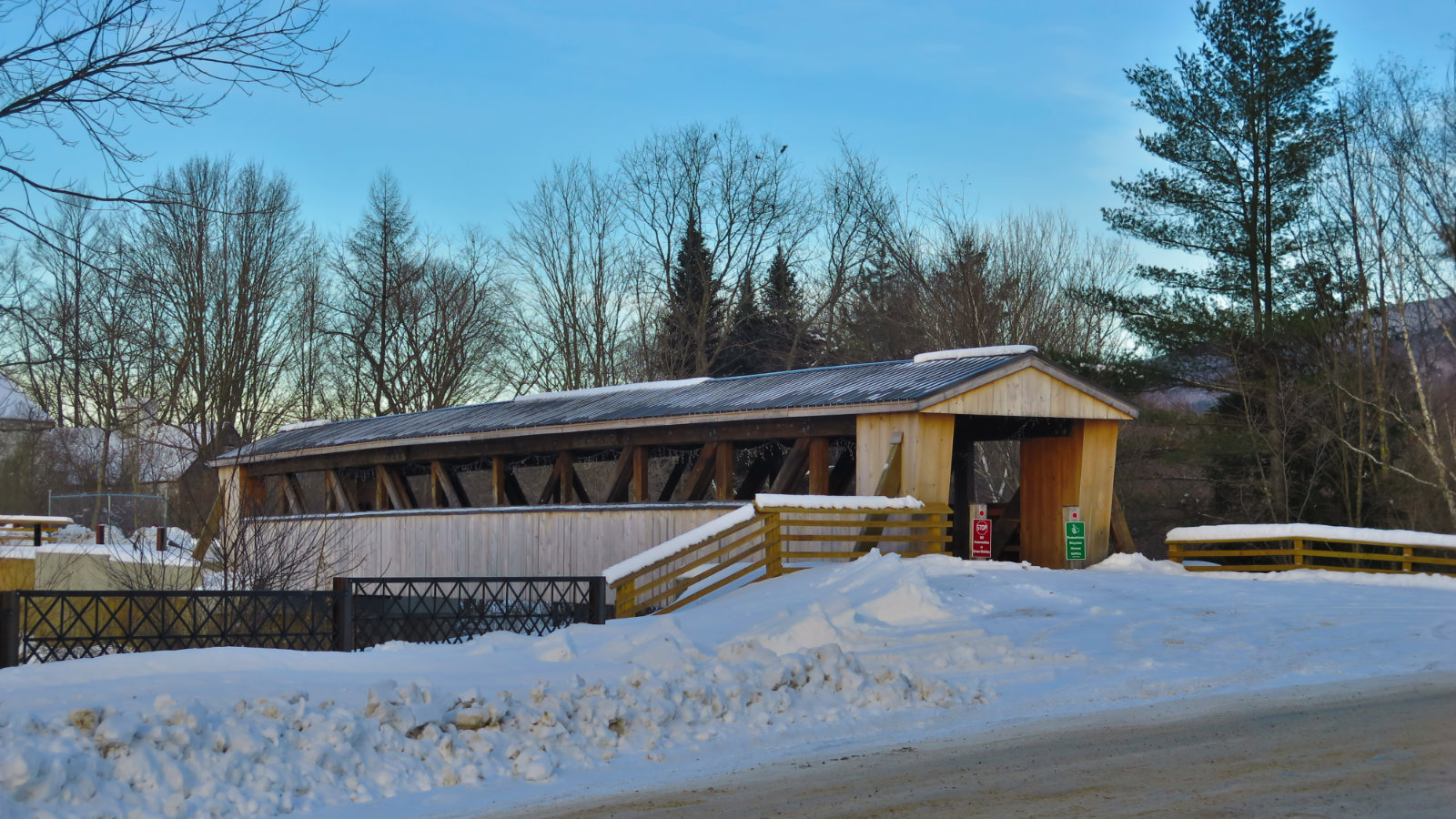
Spotted this covered bridge in Wentworth on the way home.
2 thoughts on “Trip Report: Mt Moosilauke”