Mt Jefferson (5,716). Thompson and Meserve’s Purchase, NH. 2022-12-05 (DAY.)
Via Jefferson Notch Road, Boundary Line, Cap’s Ridge, Gulfside, and Jewell trails. Approx. 10 miles round-trip.
20 dF at the trailhead, 25 dF at the summit. Winds were negligible in the trees, howling at about 30 knots above tree-line. Sunny start to the day, increasing high-level clouds in the afternoon.
Trailhead: 1030. Jefferson Notch: 1140. The Caps: approx 1300. Jefferson Summit: 1430. Car: 1800.
Great day for a hike, but wow, what a trail.
In the past, when I’ve gotten to this point, I’ve said “and then there was one.” Right now, it’s “next stop, Moosilauke” and I’ll have my fifth round of the 48 done. Each round feels less momentous, even though each brings me closer to finishing the grid. There’s a certain satisfaction to closing out a to-do list regardless.
Maybe more than that, if I do Jefferson in January and February, I’ll have knocked out all the snowy months. I’ve been churning through the ever present “what next” question, and one thing that keeps coming back is that winter will be spent on less challenging stuff, where I can move slower, and take more time to savor the view. For now, I’m gathering up that list.
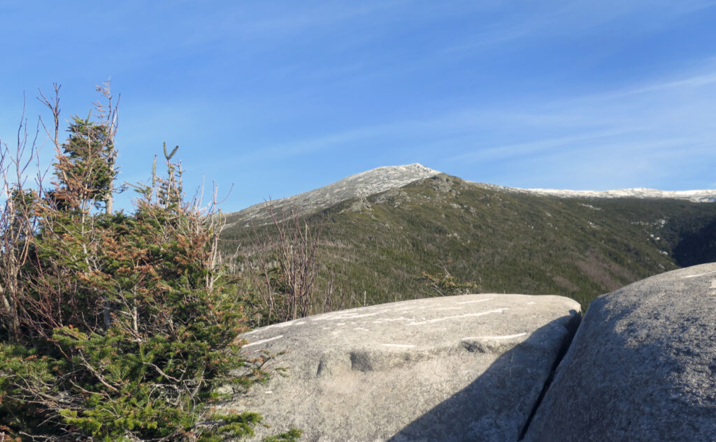
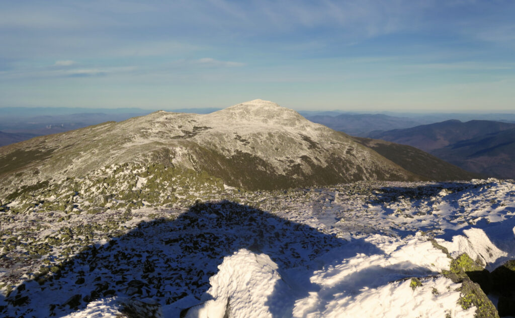
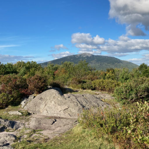
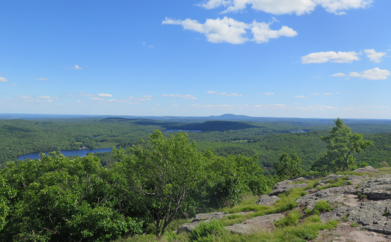
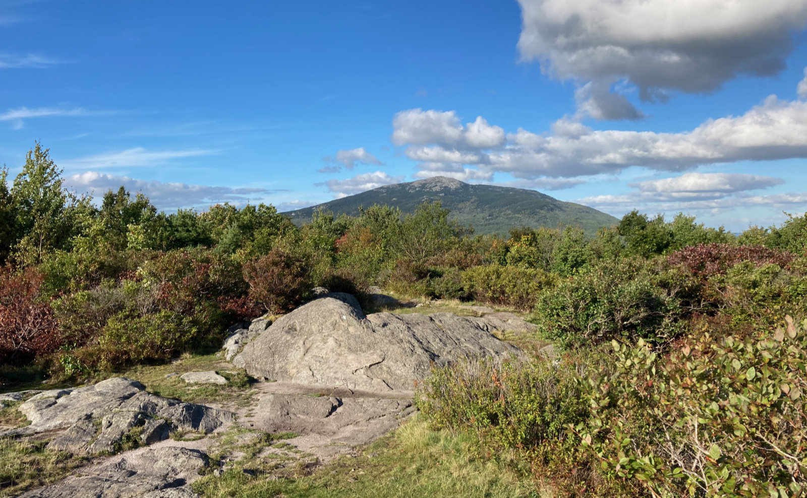
Jefferson pains me. On the one hand, it has some stunning views. On the other hand, it’s frustratingly cumbersome to get to the top. It’s set far enough back that you realize the Great Gulf is really better experienced from Adams or Clay. The actual summit isn’t an awe inspiring cone, but a jumble of rocks forming three mini-summits, either one of which are within feet and inches of being the tallest… a bit of a letdown. And yet, strolling through Monticello Lawn in the summer is a treat. I don’t know what to think of it, other than it’s nice to walk up to it, but the summit itself feels a bit optional. (Interestingly, see my note below on how the ATC feels about summits.)
Hopes and reality sometimes collide with unexpected results.
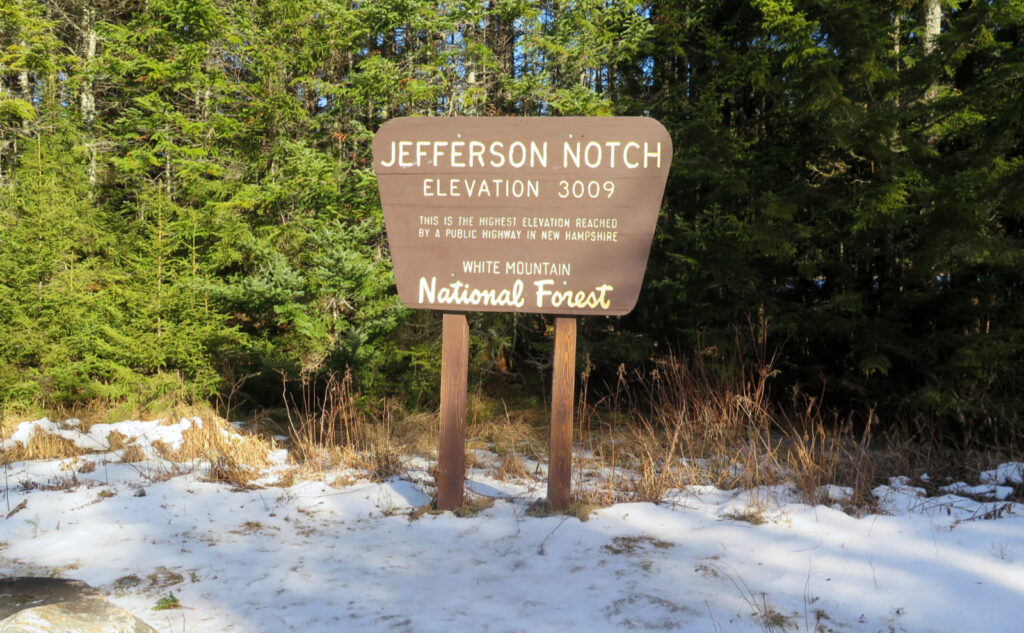
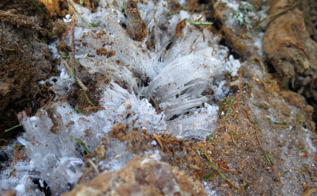
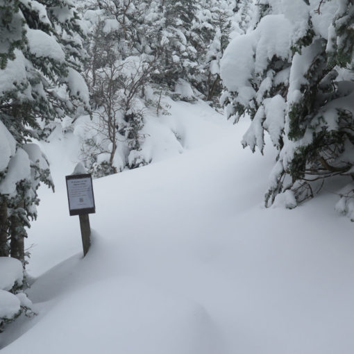
I’d initially hoped to do Cap’s Ridge from Jefferson Notch, and in the end, that’s what happened. Getting there started out well, but then things took a turn. The gate to Jefferson Notch road is open. Huzzah! But the upper reaches of the road are functionally impassible, due to ice. Certainly higher up, it’s thick enough that no number of “warm, sunny days” will fix that until at least April. Don’t be fooled by the seemingly easy passage near the bottom of the road.
It’s an awful feeling when you’re sliding on ice. When it’s downhill and backward, it’s truly terrifying. Thankfully, my day didn’t include an airbag deployment, or even scratched paint. I changed plans, and decamped for Ammonoosuc Ravine trailhead.
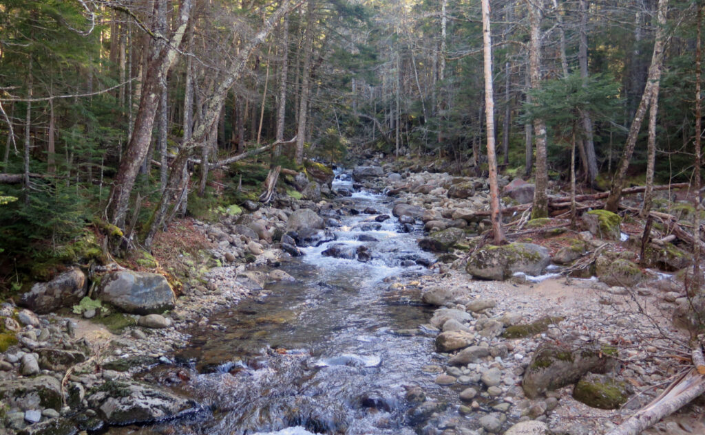
Jewell is still a wonderful trail. I bare-booted across dirt and leaves, making good time across a mild ascent. Then onto Boundary Line trail, mostly flat, with a couple easily managed water crossings, nothing major.
Back on Jefferson Notch road, clarity.
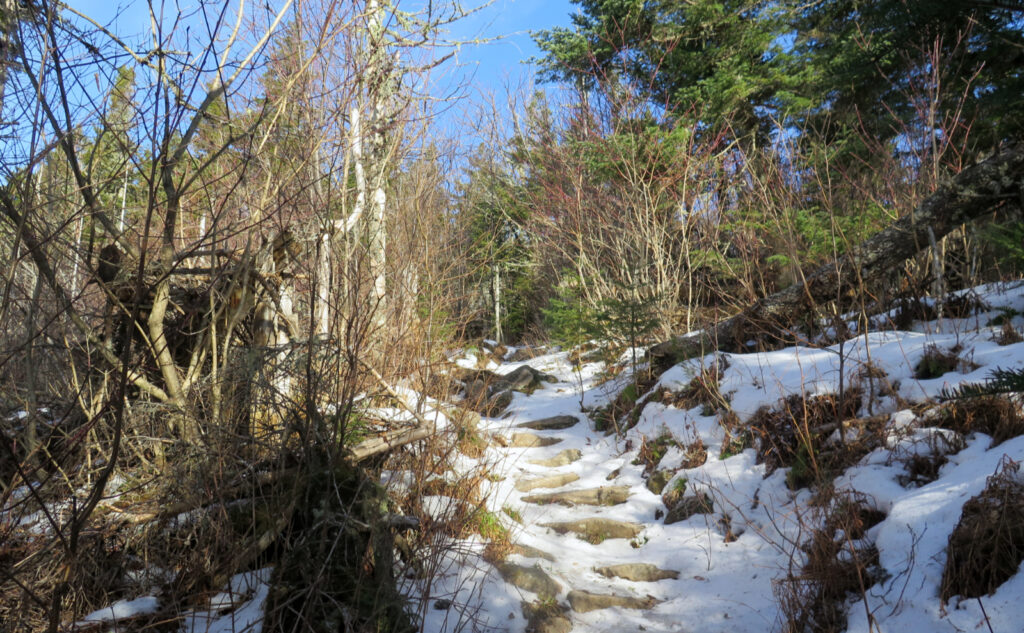
Emerging from the forest, I walked up the near continuous ice sheet that is the upper bit of Jefferson Notch road. I’d made it about to the Borderline trailhead in my car before turning back, so it was redeeming to see that nothing short of a snowmobile would have made any headway further up. Something that was certainly felt was the elevation gain — not much getting to the road, but almost 500 feet getting to the top of the notch. Wow!
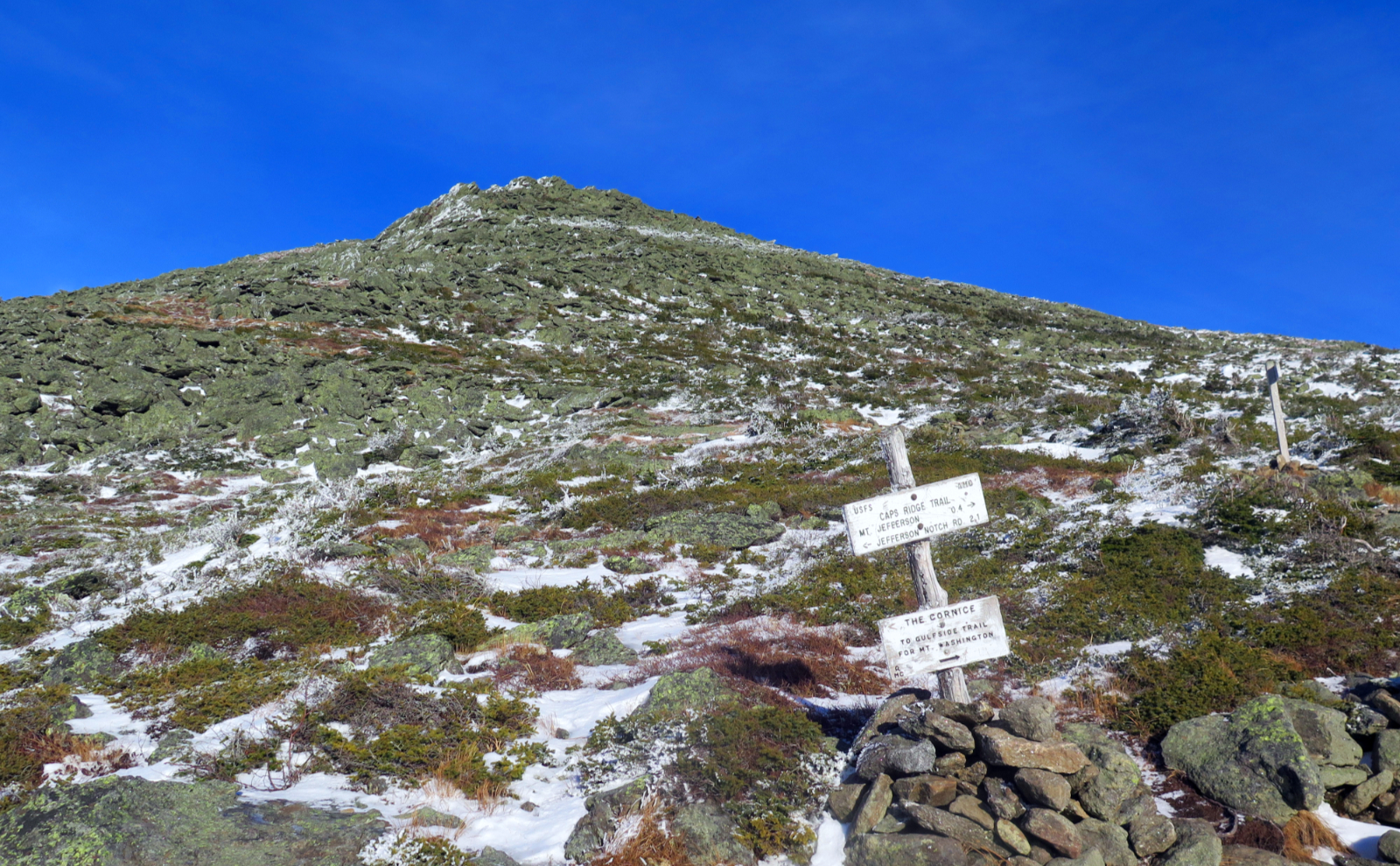
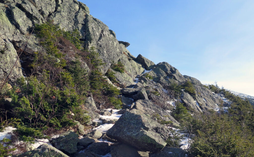
Looking back to my previous trip up this trail, I think it still holds. Cap’s Ridge comes in three distinct phases. In contrast to that trip, though, I think heading down that trail in current conditions isn’t a wise move. While it was pretty quick and easy on the first third, certainly by the time I hit middle section, the climbing wasn’t just spirited, some of it was borderline treacherous. I don’t normally carry an ice axe, but it would have been nice to have this day.
Crampons aren’t supposed to be pointless.
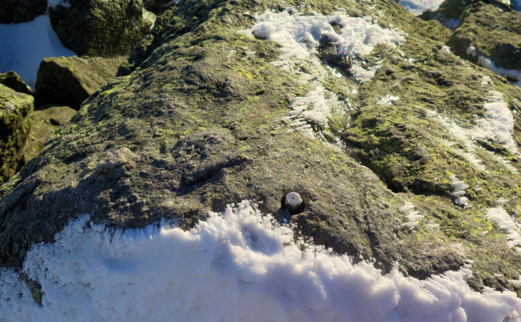
This is where I touch on gear. It’s easy to toss your spikes in your bag and stop thinking of them. Your shoes or your tent might start to get holes, which tells you “it’s time” but other things, not so much. Heck, my trekking poles are at least 25 years old. Most times, you’re walking across crunchy snow, which is great, but its the rock-hard blue ice that shows you just how “pointless” your crampons are. There’s a sick feeling you get when your feet slide across ice, and you think “that’s not supposed to happen.” I looked at my crampons on the web, and yep, my spikes aren’t spikey any more. Time to head to the workshop and break out a file.
It took a little thinking to get through some of the tricky sections, but eventually I got to the third phase. Last time, when it was warmer, I made quicker, more decisive work of all that climbing. This time, with all the ice, there were plenty of times when I wanted a hand or foothold, but Jack Frost had other ideas. Thankfully, there were fortuitously located trees in many cases.
Only the last bit left to go. But it’s still a long way.
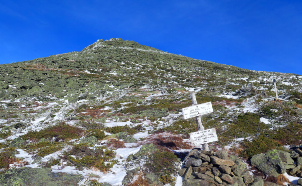
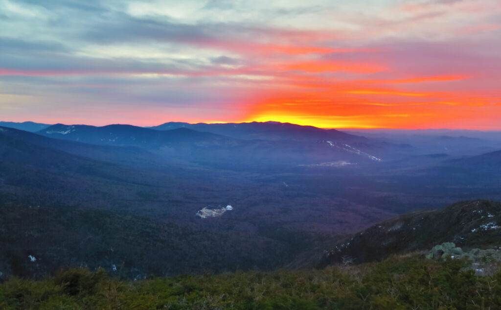
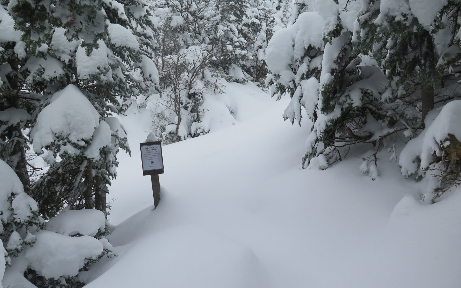
Picking my way across a seemingly endless rock garden, I followed cairns up and up. The wind at this point was a constant. Nicely, the sun was still above, and the temps were relatively mild. I donned a windbreaker, and kept going, plenty warm with all the exertion. It was a lot of stepping from this rock to that one, tedious, tiring, demoralizing. Finally, I looked up, and realized I had a few dozen more steps to go. Just above eye level, I saw the glint of the summit pin in the sunlight. It was about time. I can’t think of a longer trail that stretches for all of 2 1/2 miles — almost three hours! Even the worst of Daniel Webster Scout was done in about a mile.
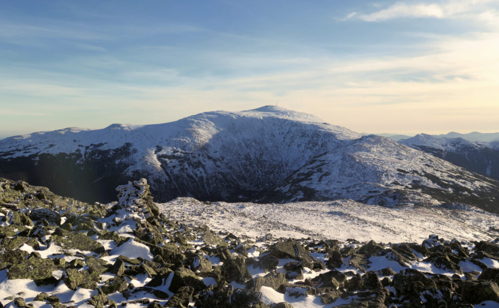
With the wind howling, I spent all of sixty seconds on top. Snapped a couple pics, and then descended. On the way up, I knew I didn’t want to descend via Cap’s Ridge, so I turned south, down the Gulfside trail. Crossing Monticello Lawn comes across differently in snowy conditions; all the dark rocks against the white stands in marked contrast to the endless sedges of summertime. It’s a sublime mental image that I enjoy, and makes it worth the trip.
No riddle to this sphinx.
Jefferson’s views of the Great Gulf are underwhelming, but as I approached Sphinx Col, I got my treat. Adams offers a fine long view, but from this vantage, you get to really look down in a way that reveals the true depth and magnificence of the cirque. I was torn between wanting to linger, yet knowing the sun was plummeting at this point. Those long summer days when you have the advantage of time.
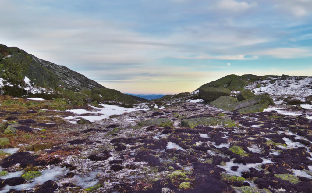
The climb up the side of Clay is an inevitability, and right now, the snow isn’t an asset. It’s deep enough to create drifts and hide things you’d rather have seen before stepping on (or in) them. But after what felt like endless climbing on aching legs, I reached Jewell Trail. I descended into the trees, and as the near-endless buffeting by the wind subsided, I realized that it hadn’t been that bad. My windproof gear had done its job well, I was always warm.
In hindsight, it feels like it added a bit of interest to the day. Intellectually, that feels wrong, because we’re taught that the wind isn’t our friend in the wintertime, and had something gone wrong, I’d be entirely on that side of the debate. But on several other levels, the question is open for debate, especially as nothing did go wrong. You get pushed around, you push back and persevere. I won’t advocate this mind-set for the novice tramper, and only reservedly for the more experienced. But it’s food for thought, and an idea I toyed with all the way down. What was the role of the wind today?
Sound and light (really more dark than light.)
Everything all the way to the car was downhill at this point, and only in a good way. My headlamp came out a short bit later, but it was a mostly uneventful hike down. When hiking after dark, I put some light tunes on my phone — a strategy I realized when hiking down from Isolation once. I’d dropped my phone into some rocks, and had a devil of a time finding it. So now, it’s just enough to be able to hear, just enough for it to call out if dropped. And hey, on the walk out, it was some companionship in the dark.
I came out by the Cog, and ten minutes later, was back at the car. Crossing the brook nearest the train tracks was a bit spirited, but Gore Tex boots saved the day. Better living through technology. Better living through getting outside.
As always, stay safe out there.

Nuts and Bolts: As of this writing, the Forest Service is in the process of closing forest roads. Notably, Zealand was blocked by saw horses. Jefferson Notch road is iced up, and outright impassable above Borderline Trail. Mount Clinton Road is still open, and clear of any ice or snow. Garfield and Galehead (Gale River Loop road) are still open. Expect this to change in the coming days. Winter is upon us.
From 93, follow Route 3 to 302 in Twin Mountain. Turn right at the lights near Foster’s now-a-concrete-foundation (a lot of construction going on!) and follow until you see the signs for the Cog Railway. If you get to the Mount Washington Resort, you’ve gone too far. Drive up Base Station road for a few miles/minutes. Ammonoosuc Ravine Trailhead will be on your right. Jewell Trailhead will be opposite the entrance to the parking area.
Blazes are yellow on Cap’s Ridge — Jefferson’s summit is off the Appalachian Trail, and Cap’s Ridge is discontinuous with same. Gulfside, which is part of the AT, is blazed in white. Jewell, coming directly off the AT, is blue.
(Fun fact: technically speaking, the AT skips several Presidential Range summits: Eisenhower, Monroe, Clay, Jefferson, and (gasp!) Adams.)
If you enjoy reading these posts, please subscribe — stay in the loop! Your email will only be used to alert you of new posts — typically 1-2 times per week. I will not use or share your email for any other purpose without your express permission. And feel free to share via social media using the buttons below.
Find me in the mountains, on this blog, or on Twitter: @Protean_Hiker https://twitter.com/Protean_Hiker/
Additionally, for all the cool kids who sit in the back of the bus, find me on Mastodon: https://mastodonapp.boston/@Protean_Wanderer
Help support this blog! Visit www.photos.proteanwanderer.com to buy some of my signature images.
Note: the map below shows only Caps Ridge. Add-on Jewell and Gulfside, as well as Borderline and the road walk to complete the loop.
2 thoughts on “Trip Report: Windy and Wild on Jefferson”
Haha, I have also thought the same on that stretch after the caps to the summit. Not all that far, but long, despite the scenic distractions. Have you tried an approach via Six Husbands yet?
Not yet. This last summer got eaten up with backpacking and work. But six husbands and Sphinx are on next summers list.
I think it’s just Jefferson’s summit that’s the actual let down. It’s a hard hike but before you get to the summit, there’s plenty of fruits and gems to be savored. And hey, it’s not like Adams doesn’t have a great summit. ?