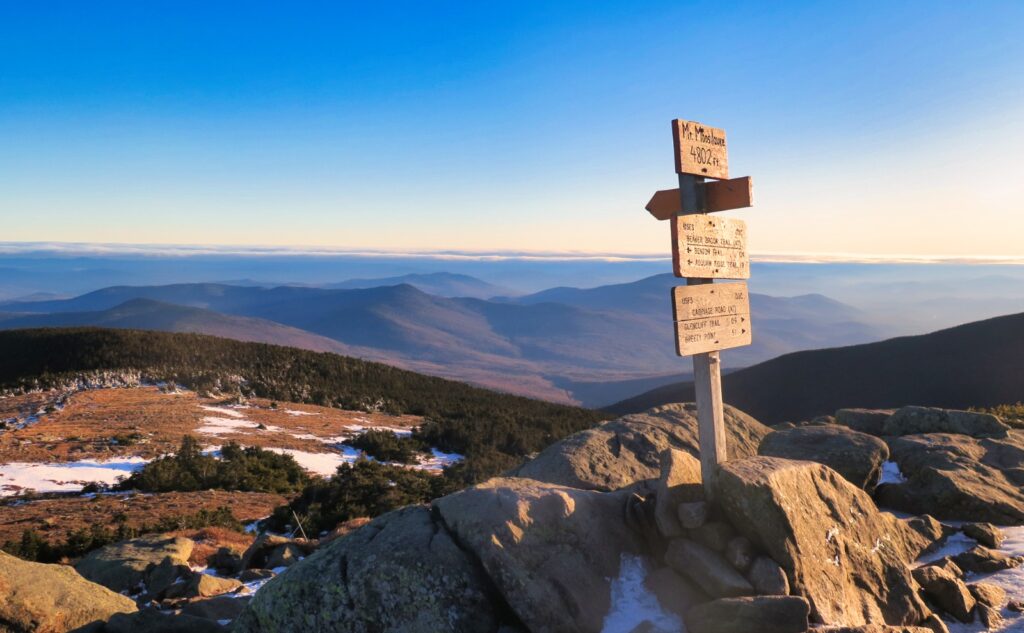
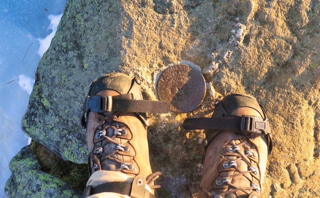
Mt Moosilauke (4,802 feet). Benton, NH. 2022-12-10 (Saturday.)
Via Glencliff Trail and Carriage Road. 7.8 miles round-trip, 3,300 feet elevation gain.
25 dF at the trailhead, 20 dF at the summit. Winds were negligible in the trees, about 10-15 MPH at the summit. Sun throughout the day, with increasing levels of darkness after sunset. A vast sea of stars and a fine view of the Milky Way on returning to the trailhead.
Trailhead: 1230. Summit: 1515. Car: 1730.
A dream within a dream, and then, stars overhead.
Some days, you can’t believe your outrageous luck. In my case, it was that I got home from work, took a “quick” nap, and still managed to get out the door in time to see some glorious late afternoon light on the summit. I treat procrastination as an art form.
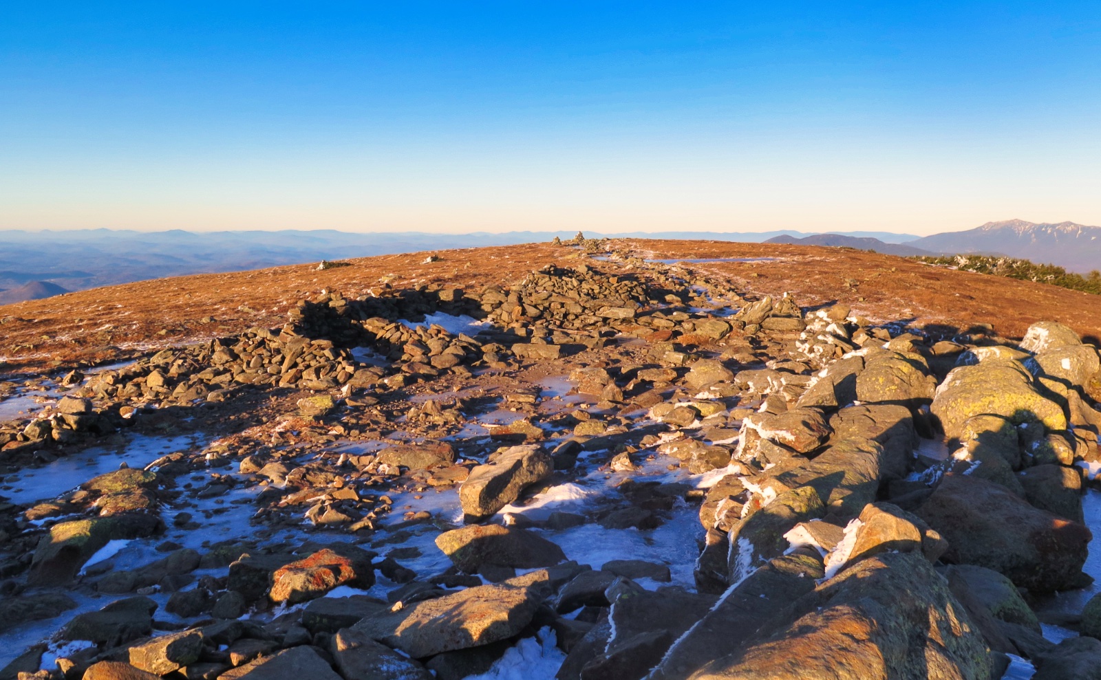
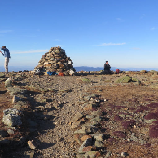
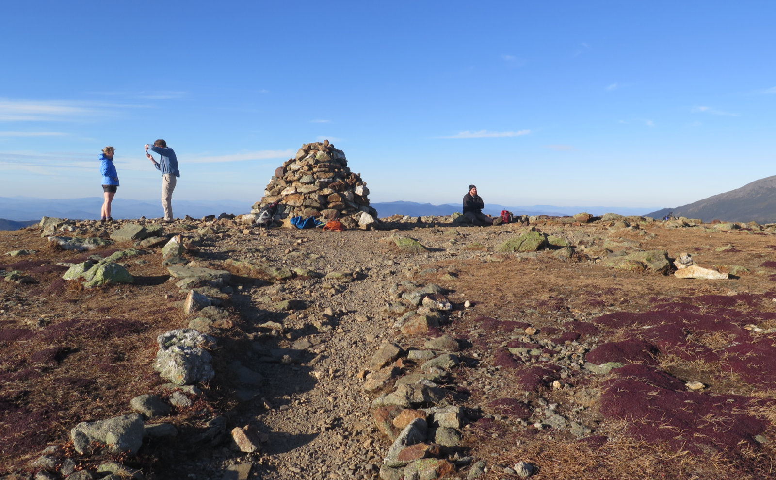
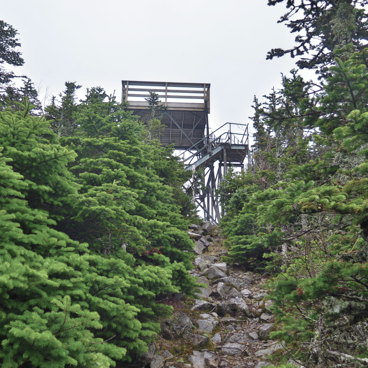
But oh, what a summit. It’s been awhile since I’ve been on Moosilauke, and yes, that’s something I need to fix. In terms of redlining, I still have a few reasons to return, for sure. But that’s not why I want to be back. The time capsules that I have, in the form of decades’ worth of AMC guides, tell of huts, cellar holes, and more. There’s a lot to be discovered on that mountain.
Today, in part because of the encroaching darkness, but also because of the cold (and frankly, there was no shortage of wind up there) I didn’t spend as much time on the summit as I wanted. Not recently, but I can recall the summertime invite: sit on down and rest for a spell. Smell the fresh air, enjoy the view. Sun on your face, all that stuff. This time, I had the cold weather version of all that, minus the sit on down and rest for a spell. But still, the feeling was visceral. When I go back to work, I’ll be remembering this for sure.
Easy? Not really, but certainly not hard.
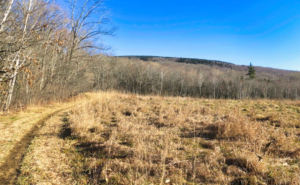
The way up today was probably easier than the way down. The lower third was very easy going, with no snow at all on the ground. Nothing spoke of how removed today was from the last two hikes as that. It wasn’t like I was trudging through knee-deep snow in the Presidentials; in fact, Jefferson had it the worst, where I might have made 20 paces through shin deep powder, at the absolute most. On Adams, I think there might have been a couple spots where the snow went above my ankles. Not terrible, but still substantial.
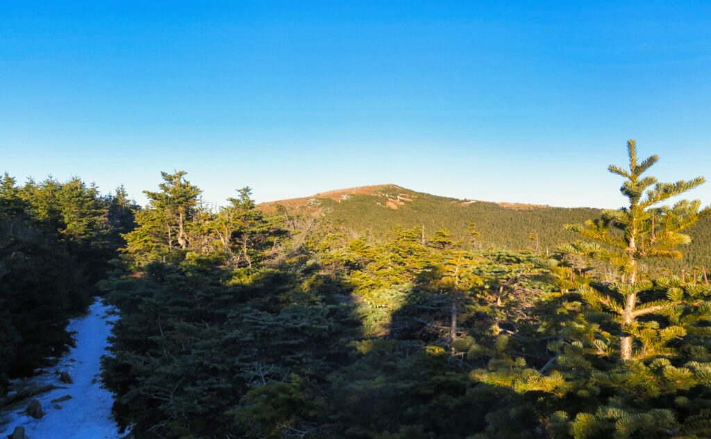
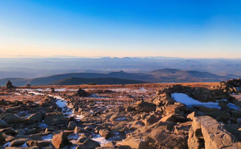
That said, there’s more than 25 miles between there and today, as the crow flies and as too the flakes, apparently. It’s worth noting that most of the peaks on the 48 list are 4,500 feet or less. Moosilauke is the tenth highest summit, closer to being a 5,000 footer than most. Speaking to this, it’s the first big thing the wind and weather hits from the west after it crosses the Green Mountains. It’s not wonderfully protected from the north, and entirely unprotected from the south. You’d have thought the summit would be at least coated with some appreciable amount of snow. Not so much just yet. And on much of the rest of the mountain, whatever amount I found wasn’t at all a hassle. That much was a strange meteorological curiosity, or at least it’s a weird micro-climate.
In the middle section, though, there was the ice. Oh wow, there was that in abundance, and it was rock-hard blue ice. Given the novelty of doing so, I bare booted as far as made sense. Somewhere above 3,500 feet, I gave in and donned my spikes. An ardent hiker might have made it further, but at some point I realized things were slowing down. If I’d hit the trailhead by mid-morning, I might have toyed with the idea some more, but the sun was on the downslope, for sure. I needed traction to make tracks.
Miles and miles of smiles.
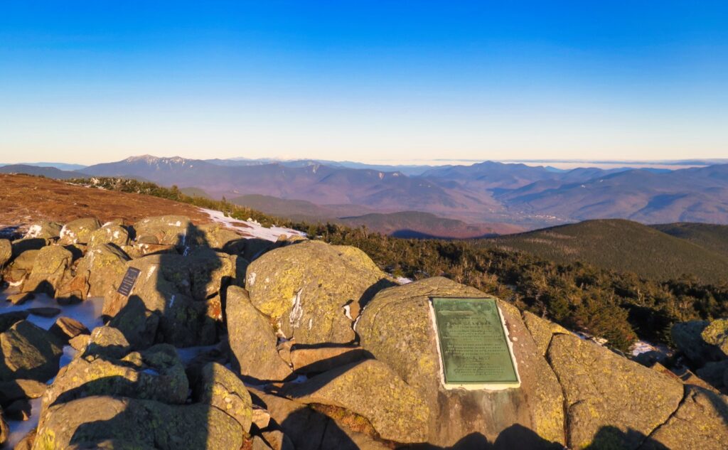
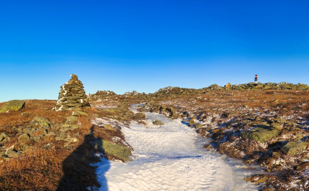
Up on top, I had the three state view. Interestingly, I saw to the south the same clouds that greeted me when I headed out the door in the morning, making a distant undercast, but seemingly staying put. There was a bit of higher-level clouds in Vermont, but to the north, nothing but clarity out to Canada. And as my eye danced from cairn to cairn, following the Beaver Brook Trail, an emotional thump. I still haven’t done the AT. I’ve been thinking a lot about that.
The walk down wasn’t bad. The ice was thought provoking during the steepest part of the descent, and I was thankful I still had some measure of sunlight on my side. That said, it wasn’t the northern Pressies, for sure. Once I knew I was back on that lower third, I doffed my spikes, and made more comfortable passage back to the car. When I hit those last two clearings, hot damn, the stars were magnificent. That’s certainly something that will stick in my head forever. What’s wrong with getting out the door a little late?
Funnily enough, it wasn’t until I was well past the split for the Carriage Road that I realized I’ve just finished my fifth round of the 48. True to form, I’ve a few months that have duplicates, so there will be some cleanup work. Glad I have the spreadsheet of doom to keep things straight. If that’s the worst thing to happen to me today…
As always, stay safe out there.

Nuts and Bolts: Moosilauke is likely one of the most accessible of the four thousand footers, being less than 2 hours from the NH/MA state line. The trailhead isn’t quite as easily found as those in Franconia Notch, but Moosilauke isn’t hard to get to.
Follow the Tenney Mountain Highway, which ends at a rotary. Take the first exit, which is Route 25/Mt Moosilauke Highway. Follow this through Wentworth and into Warren. From the rotary, it’ll be about 20 minutes until you’re in Warren. Once in the center of town, keep the Redstone Rocket on your left, staying on Route 25 (as opposed to 25C) and go another three miles, until you see High St on your right. Trailhead will be about another 3/4 of a mile on the right.
Mind that the AT comes in from the right around 200 yards after you left the car. If you make this mistake on the way down, the road walk isn’t terrible — about 50 yards or so. Around the summit, take care at the junctions. A mistake not corrected quickly will easily put you at the wrong trailhead, on the wrong side of the mountain, with a painfully long walk back to the car. Following the Glencliff/Carriage Road route, you’ll be on the AT until the base of the mountain; if you’re seeing the 2×6 inch white blazes, you’re on the correct path.
If you enjoy reading these posts, please subscribe — stay in the loop! Your email will only be used to alert you of new posts — typically 1-2 times per week. I will not use or share your email for any other purpose without your express permission. And feel free to share via social media using the buttons below.
Find me in the mountains, on this blog, or on Twitter: @Protean_Hiker https://twitter.com/Protean_Hiker/
Additionally, for all the cool kids who sit in the back of the bus, find me on Mastodon: https://mastodonapp.boston/@Protean_Wanderer
Help support this blog! Visit www.photos.proteanwanderer.com to buy some of my signature images.
One thought on “Trip Report: Golden sun on Moosilauke ”