A long twofer.
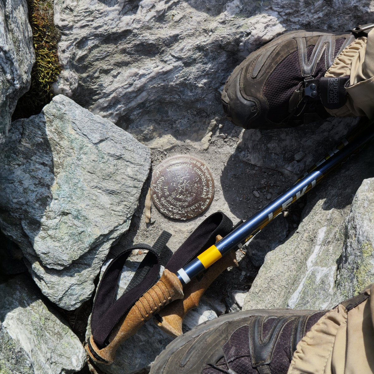
Mt Abraham, 4006 feet. Mt Ellen, 4083 feet. Lincoln, VT.
80 dF at trailhead, 80 dF at summits. Sunny/hazy skies and 30 miles visibility. Very light intermittent breezes at summits — approximately 2 MPH.
Via the Long trail.
Trailhead: 1040. Abraham Summit, 1215. Ellen Summit: 1440. Car: 1840. Approximately 12 miles.
It felt longer than it was; certainly for “only” two peaks. I’m still nursing an injury, so yesterday was, by default, going to be slower than normal. On the plus side, I hiked along a ridge that another hiker described as “one of the nicest sections of the Long Trail.” And in truth, though there was some modest rock-hopping, it was a far cry from, say, the top half of Valley Way on Mt Adams.
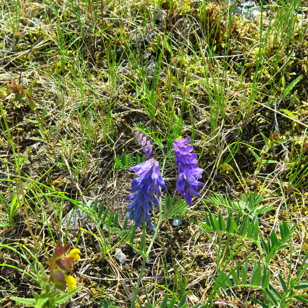
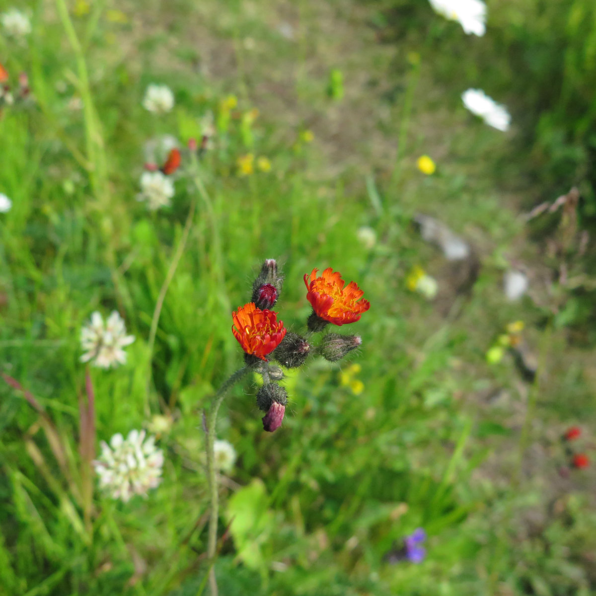
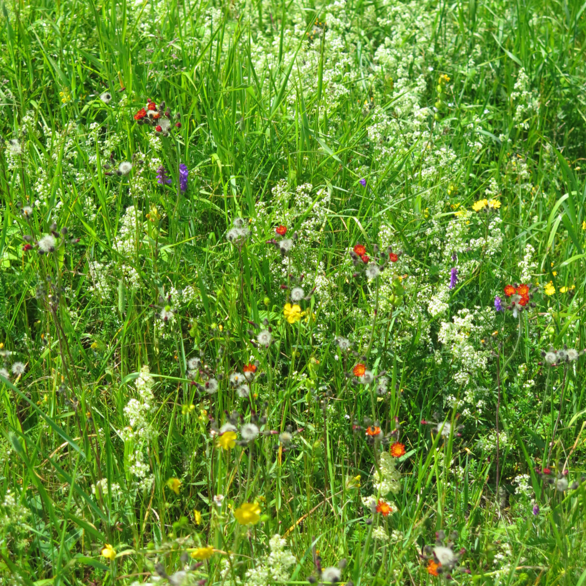
The day had a lot of sublime pleasantries. A thick green tunnel, ample sunshine that was mediated a bit by haze, warm and not very humid. The views were clipped by the haze somewhat, but I could still make out Lake Champlain in the distance easily enough. And meadows thick with wildflowers. Oh my, the flowers!
Hiking up wasn’t hard. Indeed, driving to the trailhead was probably harder on my car’s engine than it would have liked. The last bit of Lincoln Gap road before the trailhead ascends what felt like several hundreds of feet in a few short miles. And then you’re starting off a bit above 2,400 feet.
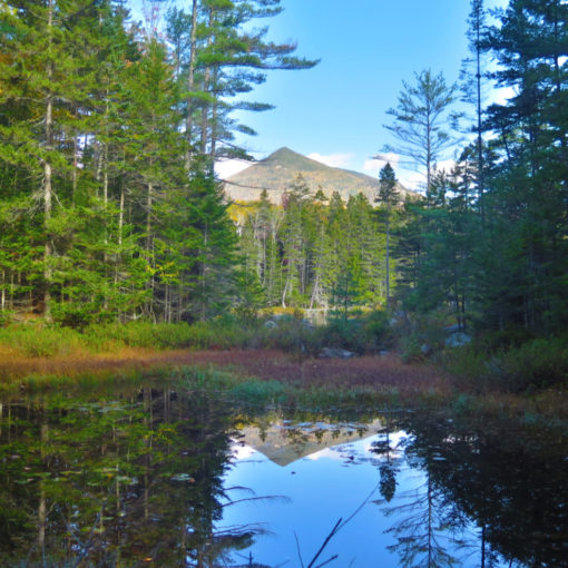
It’s a nice dirt trail that disappears into the woods, with greenery all around. Early in the day, birds were creating quite the ruckus. Around midway, it got progressively rockier, but still, easy passage. In contrast to Mansfield and Camel’s Hump, the trail was nearly bone dry, but that also meant water sources were a trickle. Bring extra water.
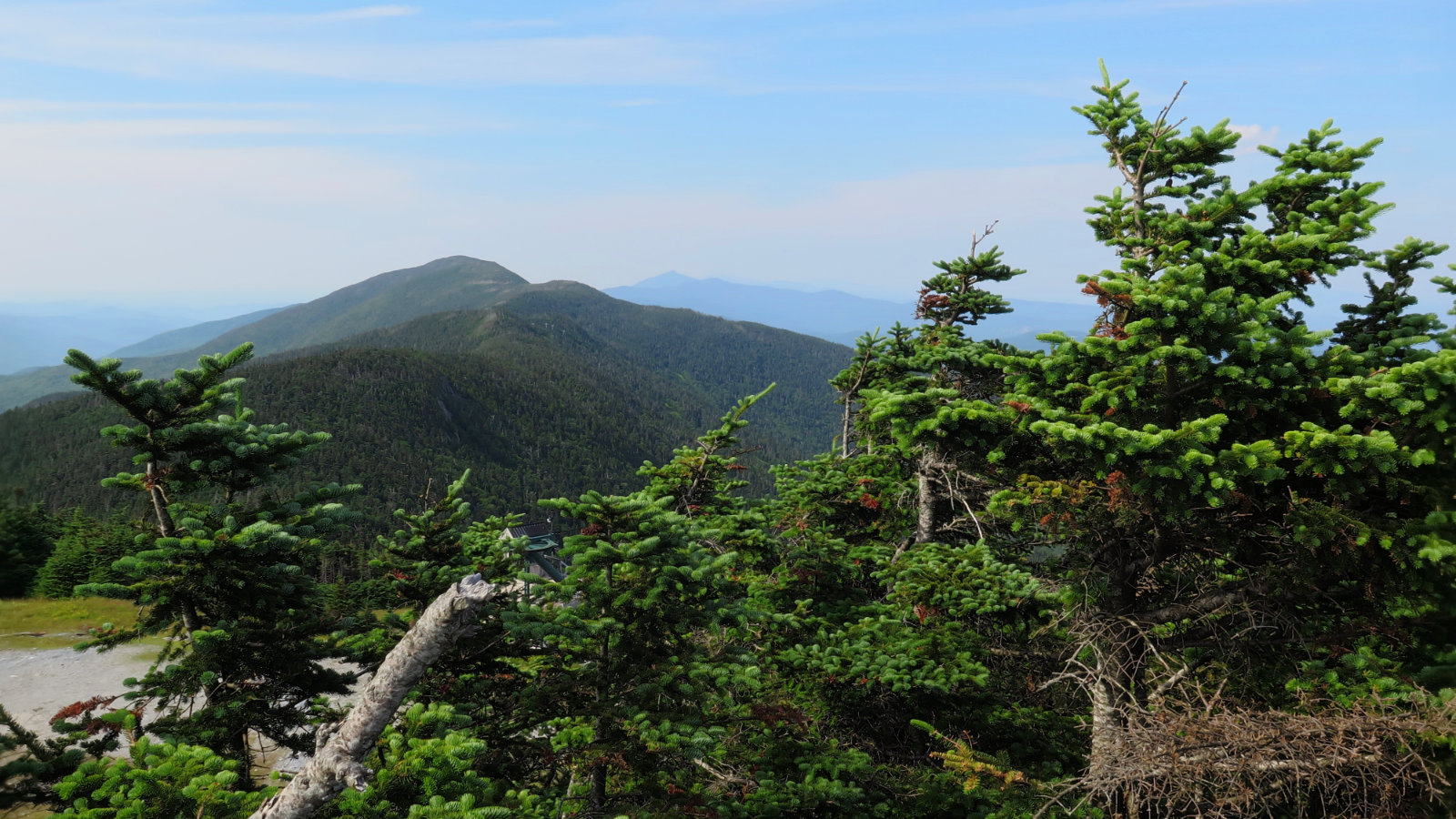
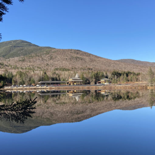
Up top, I was rewarded with 360 degree views. Through the haze, I could see some of the northern peaks, but not a lot. That was OK with me. Moving across the ridge, there was plenty to look at closer by. Camel’s Hump felt bereft of flowers, but that ridge hike made up for it in spades.
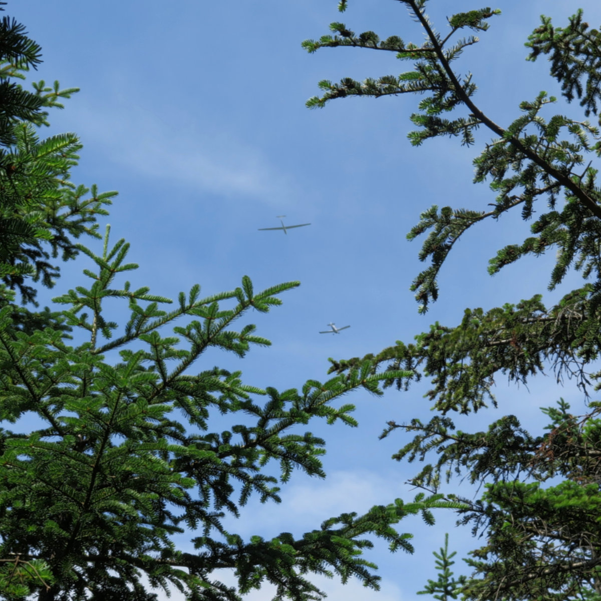
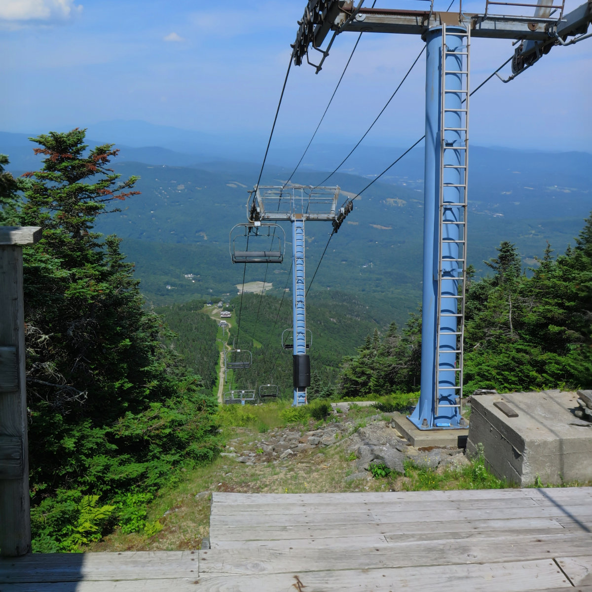
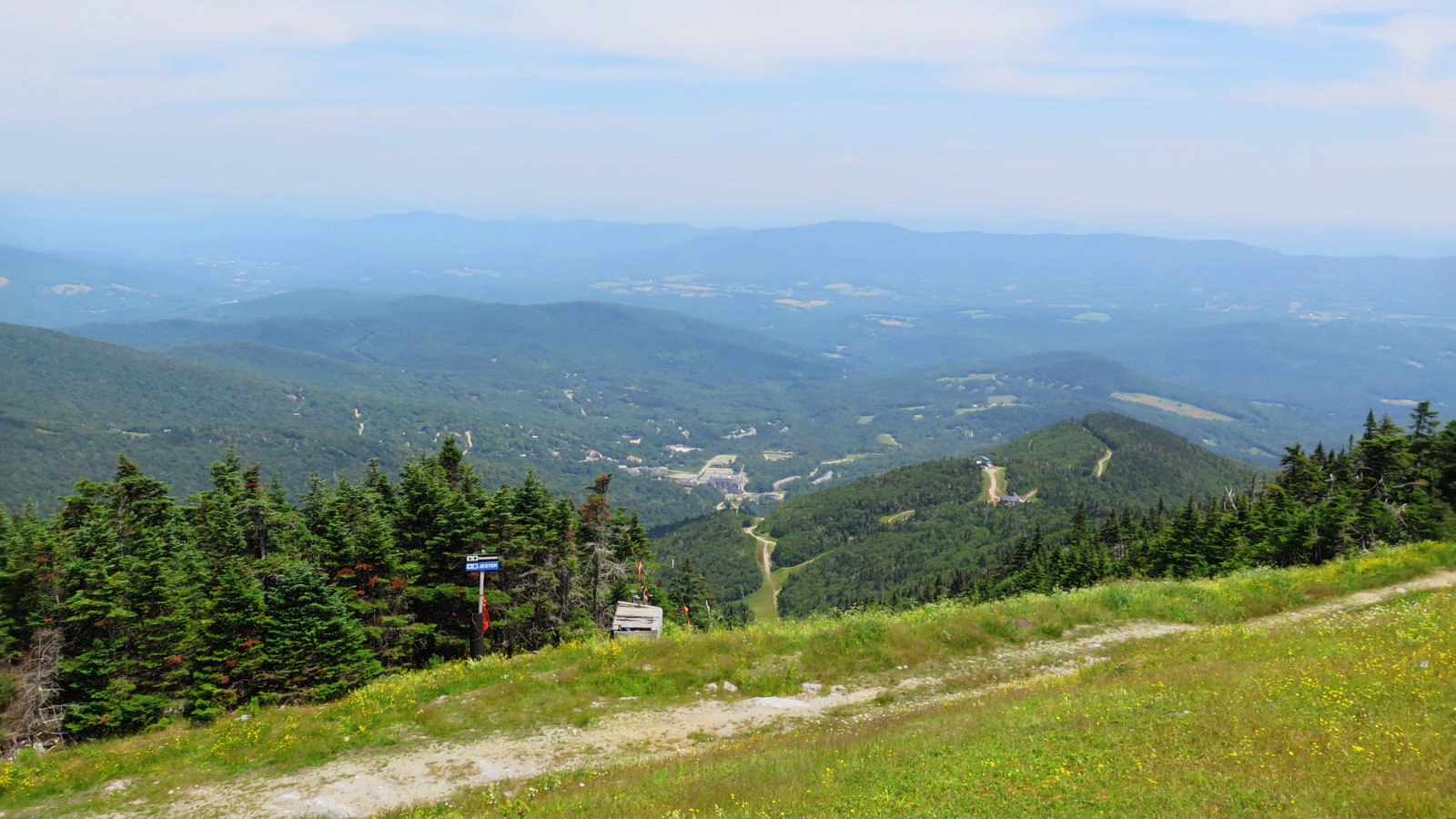
Crossing Lincoln Peak, the machinery of Sugarbush ski area, and its various buildings below. Then back into the green tunnel. Frustratingly, there was a few instances where I could see through the trees a glider being towed high into the sky above, but anytime I made it to an outlook or a clearing, nothing was left to be seen. But it did pass close enough overhead that I could barely hear a nearly silent swoosh of air in its wake. Nice.
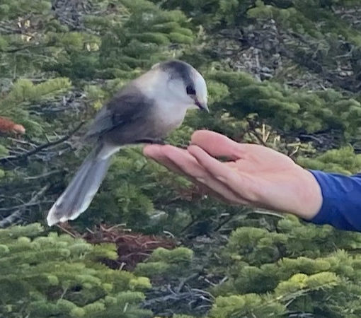
I arrived on Mt Ellen, and there was another ski lift. A Long Trail NOBO hiker was enjoying her lunch, and we sat and chatted for perhaps half an hour, taking in the view and the sunshine. She was hiking with a couple of NOBOers I’d passed on Lincoln summit, expecting to see them again at the shelter a bit later on. Hike your own hike, as they say. I love the rhythm of the trail.
On the return, after I’d passed Lincoln, I noticed I’d slowed down a bit. The sun was hanging lower in the sky, and starting to get that magical honey color, so I suppose I was enjoying that. As I descended into the trees, the effect became magnified, and those birds that had been making so much noise earlier in the day had gone nearly silent. I listened to my footsteps on the forest floor, gazed at the ferns and the mosses on either side. It was a captivating moment.
If you enjoy reading these posts, consider subscribing. Your email will only be used to alert you of new posts — typically 1-2 times per week. I will not use or share your email for any other purpose without your express permission.