
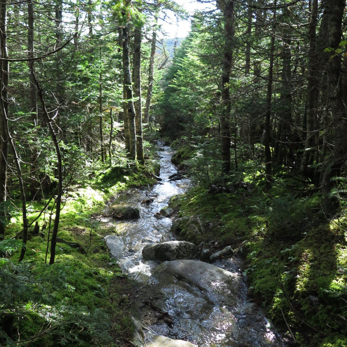
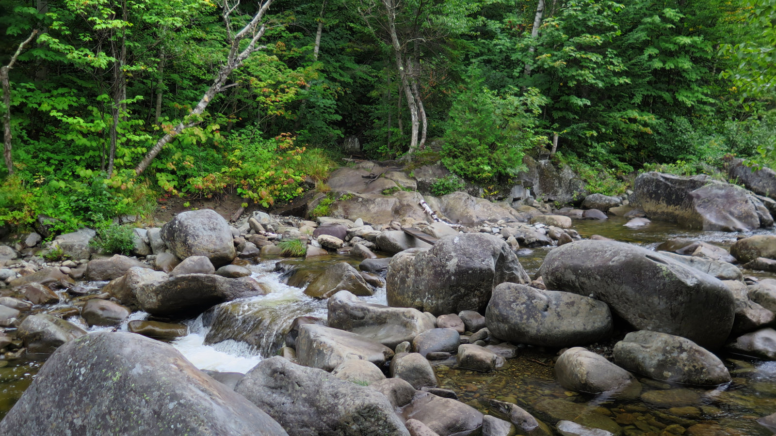
Baxter State Park is a place where the pictures take themselves, and they tell their own story. Here’s mine.
The 67
20 posts
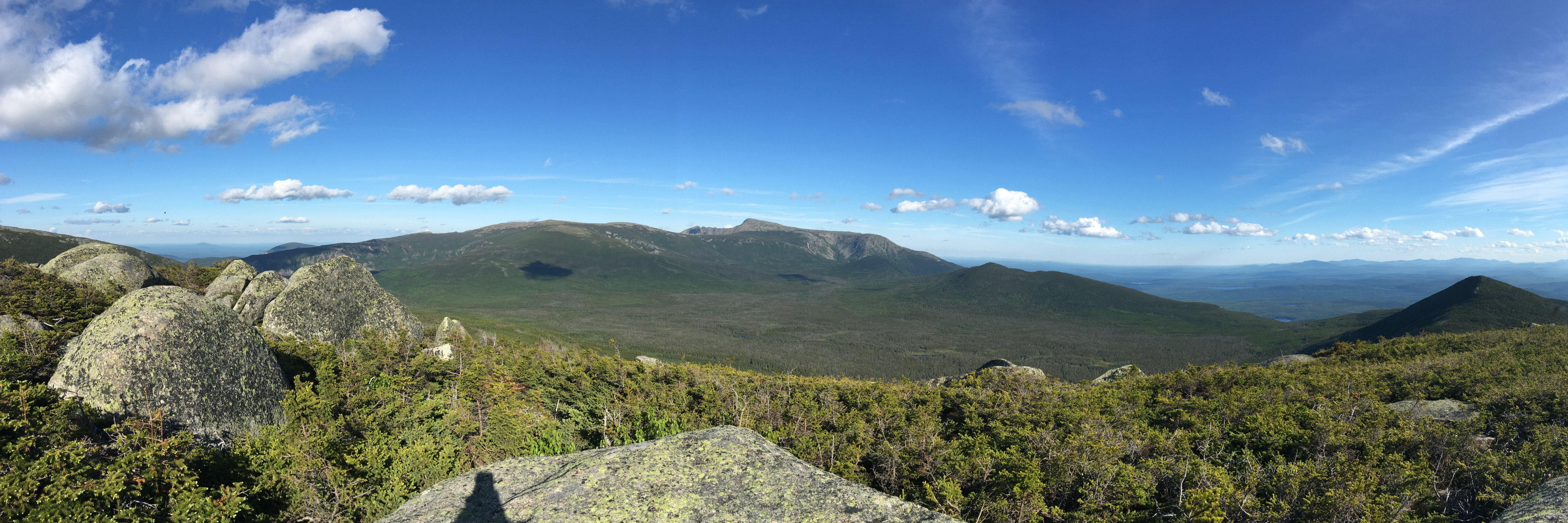
Sometimes it’s better to examine a mountain from a different summit. And sometimes the details are better defined with a broad brush. Katahdin fit that bill.

If all you did at Baxter was short day hikes, you could keep busy for weeks. Katahdin was a draw, for sure, but it was the lesser peaks that kept us there.
No electricity, no running water. What do you really need? Maybe that’s exactly it.
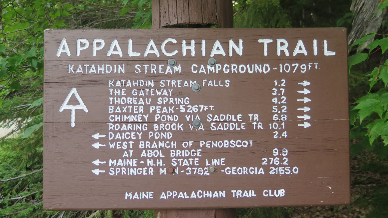
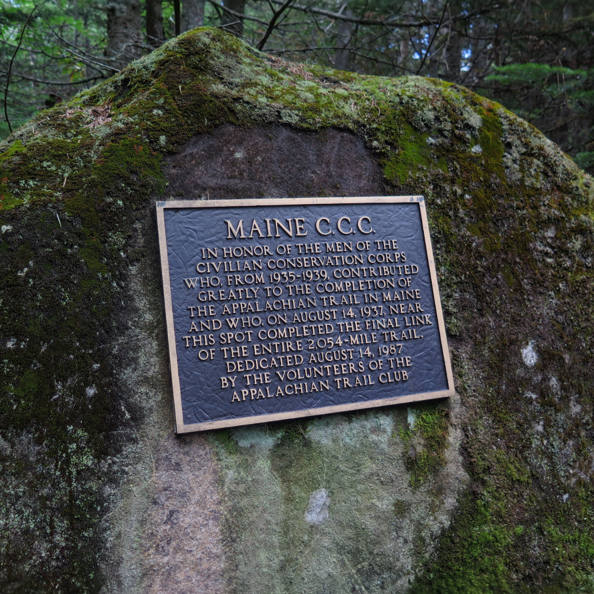
Looking out, looking back, looking forward. Having hiked the New England 67 four thousand footers, I’m looking forward now to hiking the Appalachian Trail and seeing what that has in store.
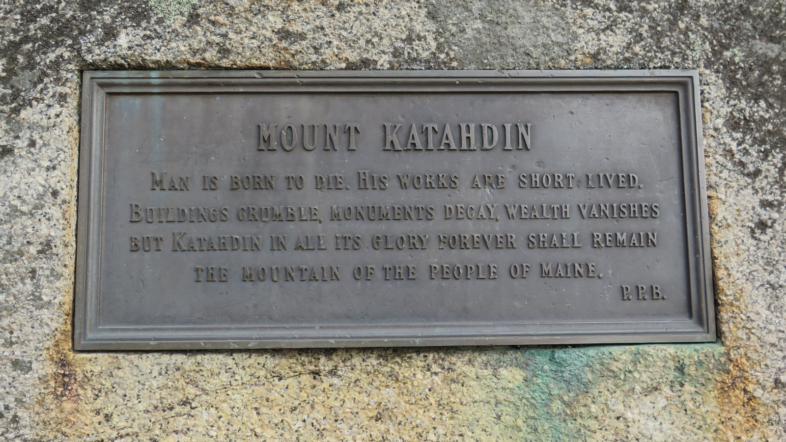
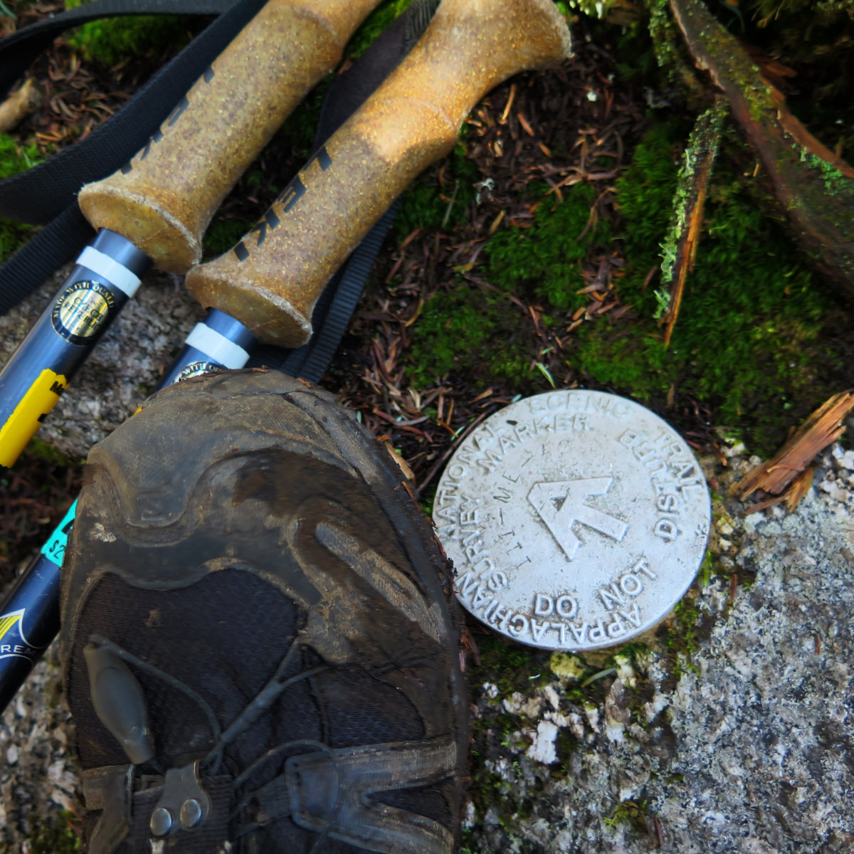
When I started out the 48, I never knew I’d stand on Katahdin. Even when I stood on Hamlin, I wasn’t sure I’d make it to Katahdin. And when I finished Katahdin…
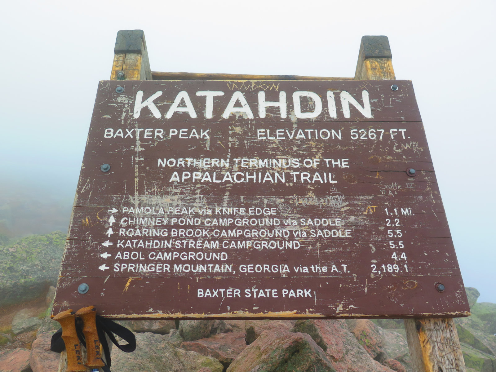
I need to gather my thoughts about finishing the New England 67 four thousand footers list. But in the interim, I wanted everyone to be able to at least see what I saw, because it was a very powerful experience on some of the most picturesque terrain.
Tetra? No, Solo! North Brother Mountain, Millinocket, Maine. 2018-09-27. 4,150 feet. Via Marston Trail. Trailhead: 1030. Mt Coe trail junction: 1245. Summit: 1340. Car: 1700. Sunny, light breeze (approx 5 MPH), with occasional clouds. Essentially limitless visibility. It was an audacious plan, and it would have worked, too… if it wasn’t for those meddling kids! OK, so if I’d gotten out of bed an hour earlier, maybe. I’d hoped to […]
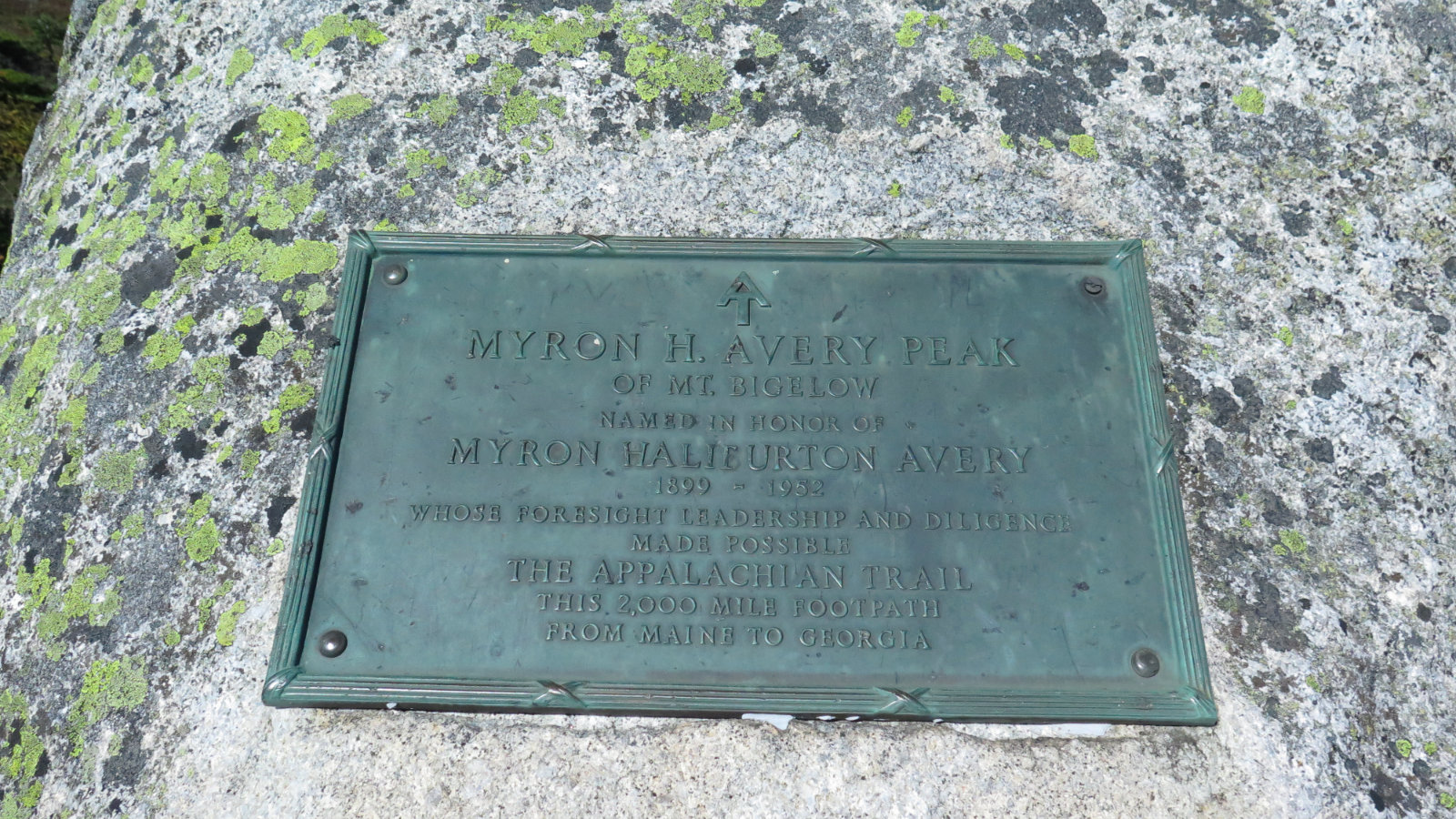
Avery Peak, 4,090 feet. West Peak, 4,145. South Horn, 3,805. North Horn, 3,820 feet. 65 dF at trailhead, 75 dF at summit. Sunny skies and 80 miles visibility. Negligible breezes at summits. Via the Fire Warden’s trail, Appalachian trail, and Horn’s Pond trail. Also the North Horn spur trail. Trailhead: 0915. Col: 1200. Avery Peak: 1215. West Peak: 1300. South Horn: 1445. North Horn: 1455. Car: 1800. Approximately 13.5 miles. […]
If you enjoy reading these posts, consider subscribing. Your email will only be used to alert you of new posts — typically 1-2 times per week. I will not use or share your email for any other purpose without your express permission.
On the AT again! Sugarloaf Mountain, 4,250 feet. Spaulding Mountain, 4,010 feet. Kingfield, Franklin County, Maine. (AKA Carrabassett Valley.) 75 dF at trailhead, about 70 dF at the summits. Cloudy/overcast skies with at times 40 miles visibility. Very light intermittent breezes through the trees — approximately 5 MPH. 30 MPH wind out of the north on Sugarloaf summit. Via the Appalachian Trail. Car: 0930. Trailhead: 0915. Sugarloaf summit: 1245. Spaulding […]
Trio! South Crocker Mountain, 4050 feet. Crocker Mountain, 4288 feet. Mt Redington, 4010 feet. Kingfield, Franklin County, Maine. 61 dF at trailhead, 55 dF at South Crocker summit. Sunny skies and 50 miles visibility. Very light intermittent breezes through the trees — approximately 5 MPH. Winds at 5-10, with gusts to 18-20 at overlooks. Via the Appalachian Trail, and the herd path. Car: 0900. Trailhead: 0915. South Crocker summit: 1045. […]