South Turner Mountain, via Sandy Stream Pond trail, South Turner Mountain trail. 3,122 feet, 4 miles round trip.
Sentinel Mountain, via Sentinel Link trail, Sentinel Mountain trail. 1,842 feet, 4.6 miles round-trip, plus a 0.6 mile summit loop.
5th and 6th July, 2019. (Friday and Saturday)
A trail a day keeps the doctor away.
To say Baxter has a lot of trails and a lot of mountains to choose from is to state the obvious. Even if all you did were day-hikes, you’d have enough to keep busy for weeks. The limitation was, for the most part, weather. Being stuck on Katahdin — be it on the Knife Edge or just on the Tableland during a thunderstorm is just plain a bad idea, period. Intellectually, I knew that, but seeing that tree get nailed by lightning drove that point home in a visceral way. What more do you need to tell you that it’s not a good idea to be outside when Thor is in a bad mood? There were a couple days of storms and a couple of travel days, coupled with a general laissez-faire attitude borne of being on a summer vacation, so I didn’t get on as many mountains as I’d have liked. But as they say, it’s good to have something to return to. If I had another week, I might have hit everything on my list, but gasp, I have to return to Baxter. We should all be so lucky to have such problems.
As much as I hiked, one thought took shape in my mind. The mountains in Baxter seem to be of a flavor. Hands-down, anything to do with Katahdin Massif is difficult. You have a decent time on the approach, but the second half typically has a very steep, rocky ascent. Every mountain I hiked followed this pattern — I might have missed an easier trail somewhere, but that was my experience. So whether a mountain is moderate or strenuous or outright hard seems to be more a product of its height than anything else.
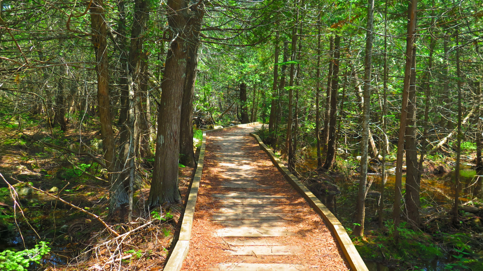
The approach to South Turner was indeed quite nice. There was construction at the trailhead, where they’re rebuilding the bridge over Roaring Brook. However, a short detour led to a very sturdily built bridge just about 50 yards away. If, when you get there after reading this, they’re still rebuilding that bridge, follow the orange surveyor’s tape. Easy-peasy. On the other side, I hiked across a boardwalk, then alongside a very lovely pond with magnificent views of Katahdin’s east face. The pond itself could have been its own destination, with views both near and far. I’m not really surprised, but there were large patches of snow still easily visible at the higher elevations of Katahdin. In July. Neat!
So yeah, a modest approach, of the kind you’ll find anywhere in the Whites. Then a “real” ascent that I’d describe as “lumpy.” There’s a lot of rock hopping, a lot of water, and no shortage of mud. Don’t expect this trail to be anything like Waumbek, via Starr-King. You have to work for your summit and the toll is paid in sweat.
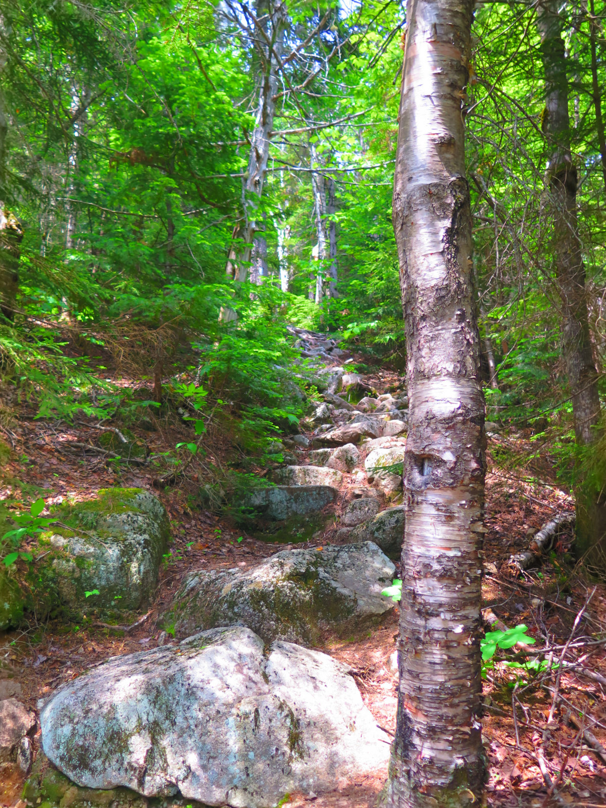
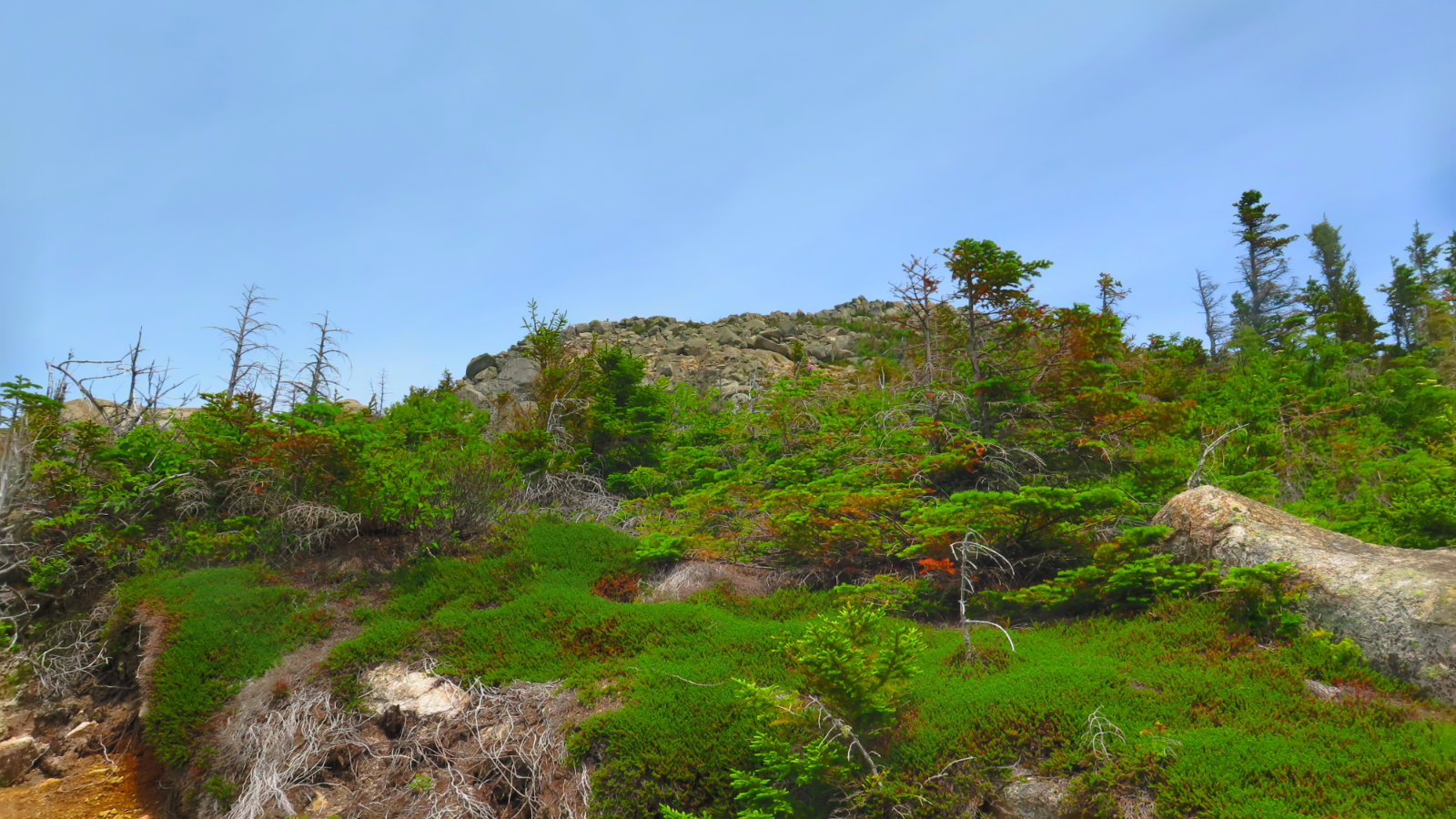
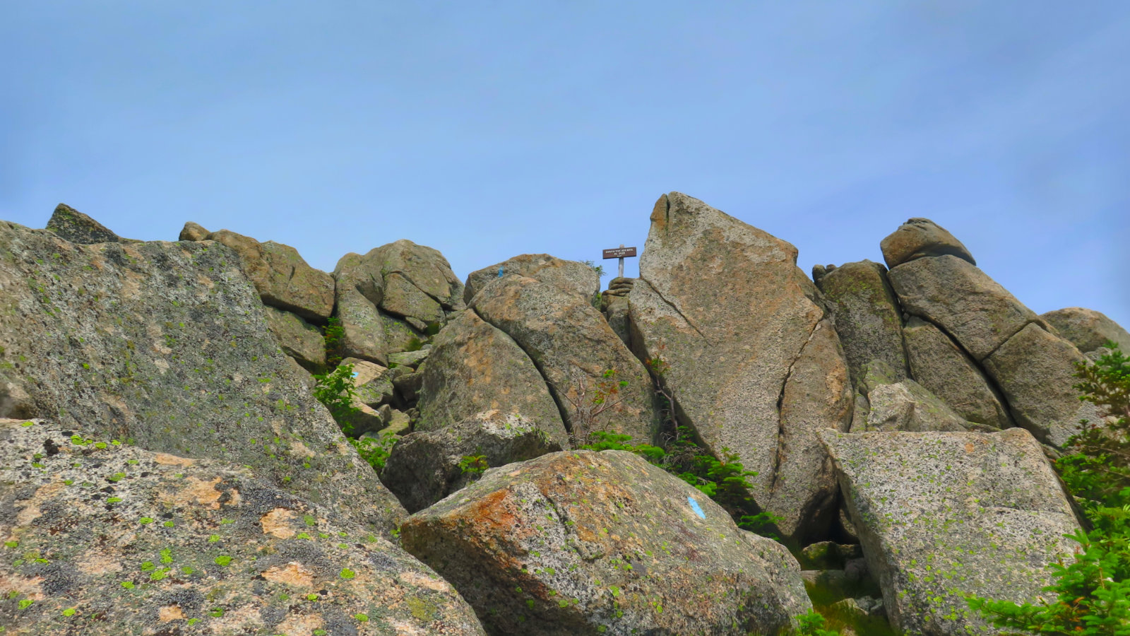
The last quarter mile or so was one of the more interesting I’ve hiked. It’s an odd granite that’s found throughout those peaks. It weathers into a very coarse, gritty sand — I saw something very similar on the north face of Cannon, but I can’t recall seeing it anywhere else. Maybe on somewhere like Eisenhower or something, but I can’t recall. And somehow, this stuff made up a fair amount of that last section. There’s a strange sensation of trying to climb up while your footing keeps sliding back with every step — not unlike moving across dry beach sand or liquid ball bearings. You can make progress, but only with more effort. Then, the last tenth of a mile is across huge boulders. The blazes aren’t hard to find and follow, but they meander. An adventurous sort might try taking a straighter line, but I kept to the blazes. I didn’t have to think hard about where to go, and the line doesn’t meander so badly or for very long.
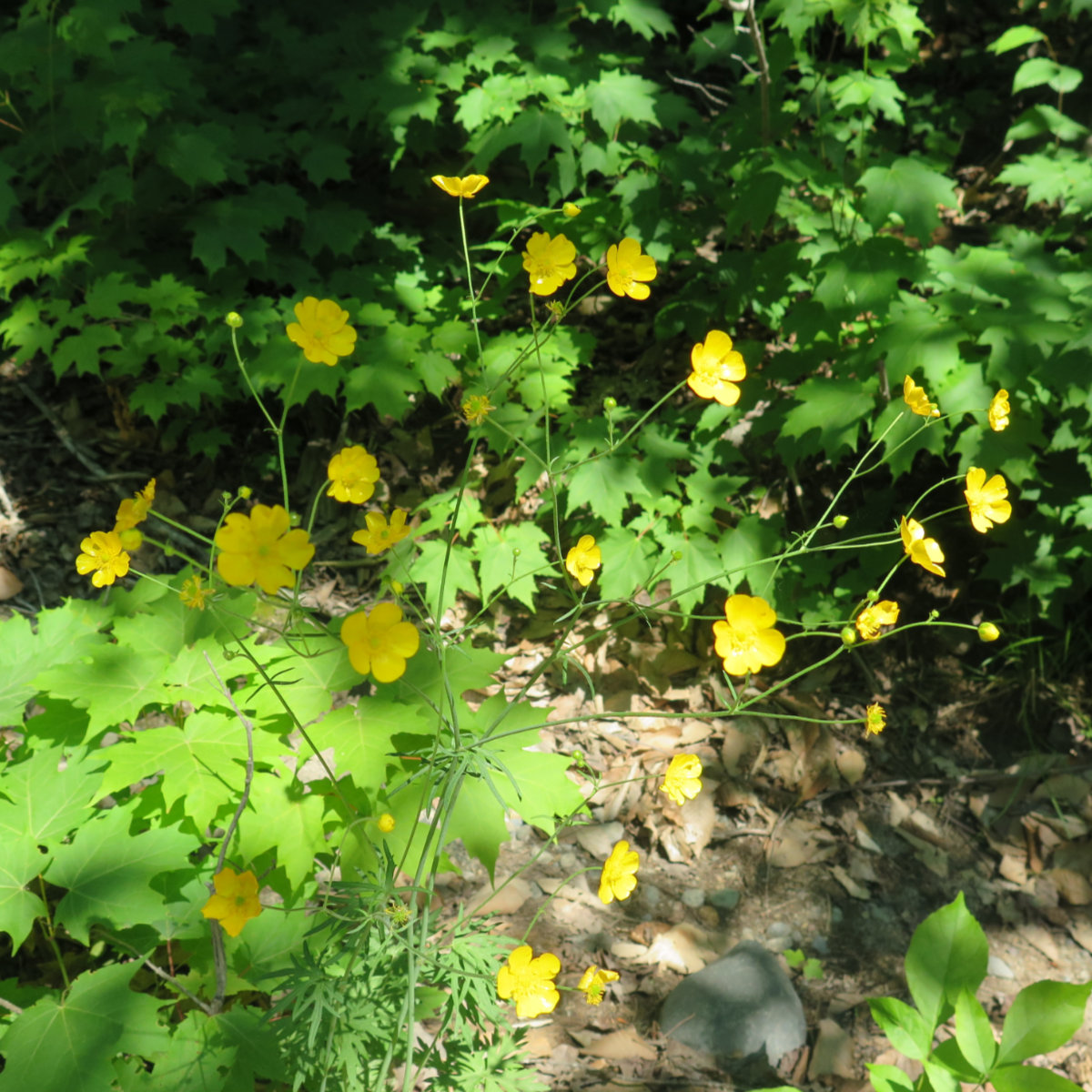
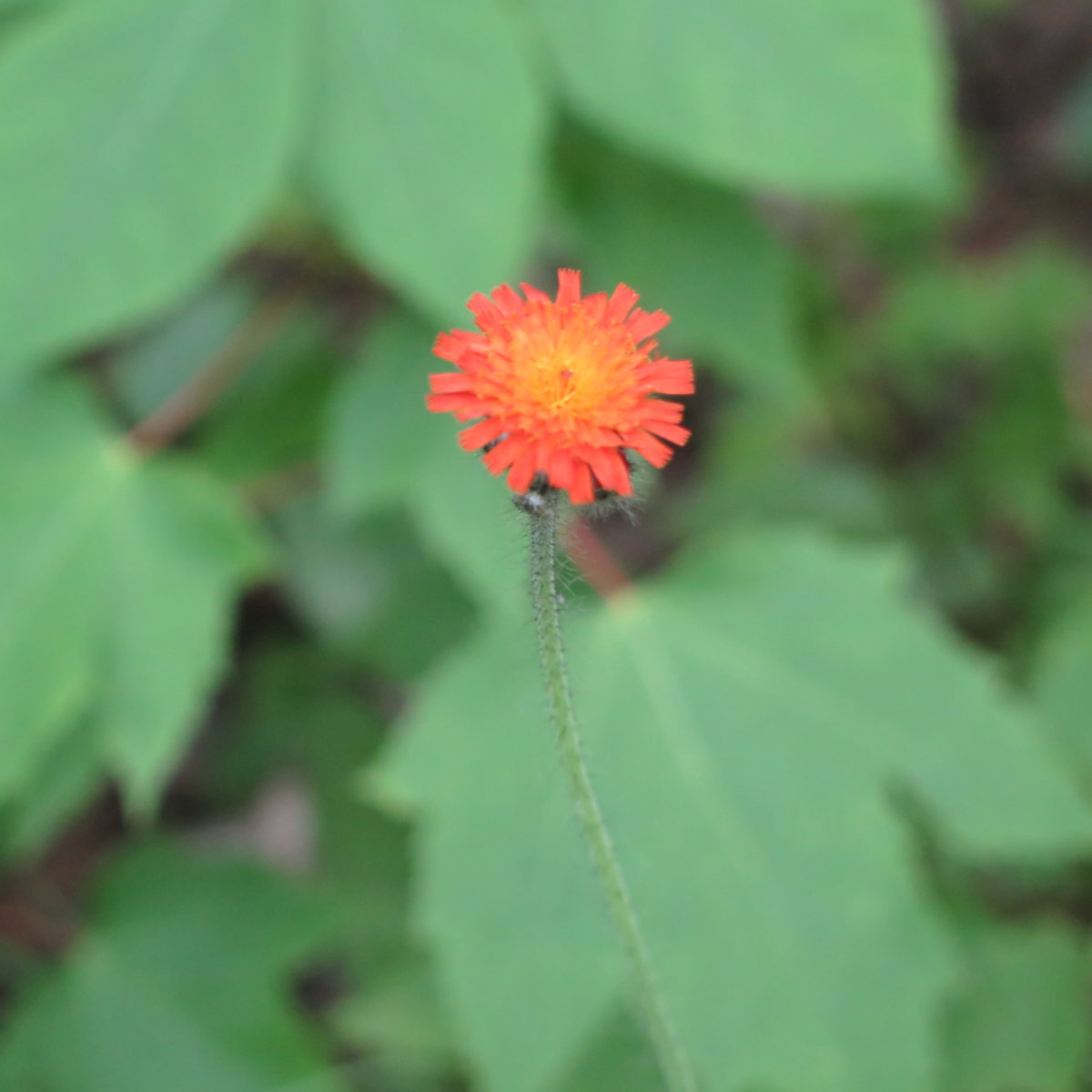
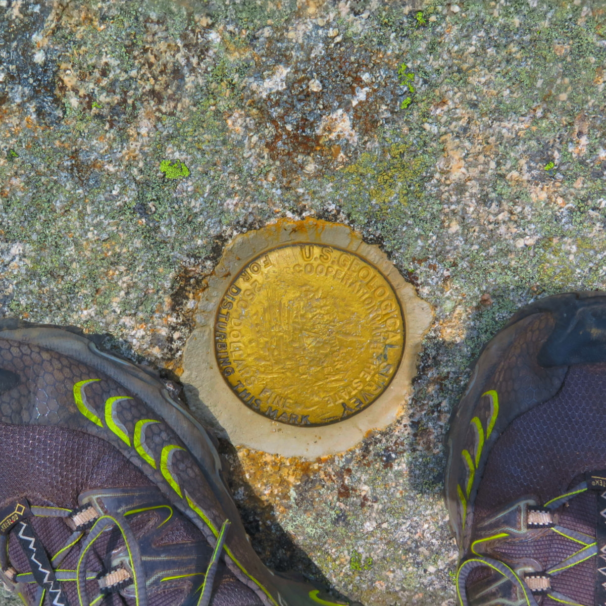
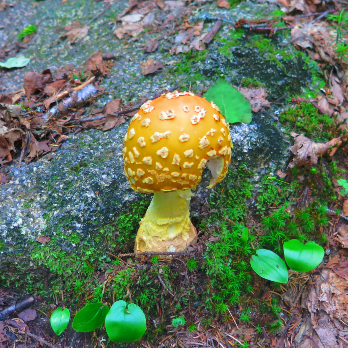
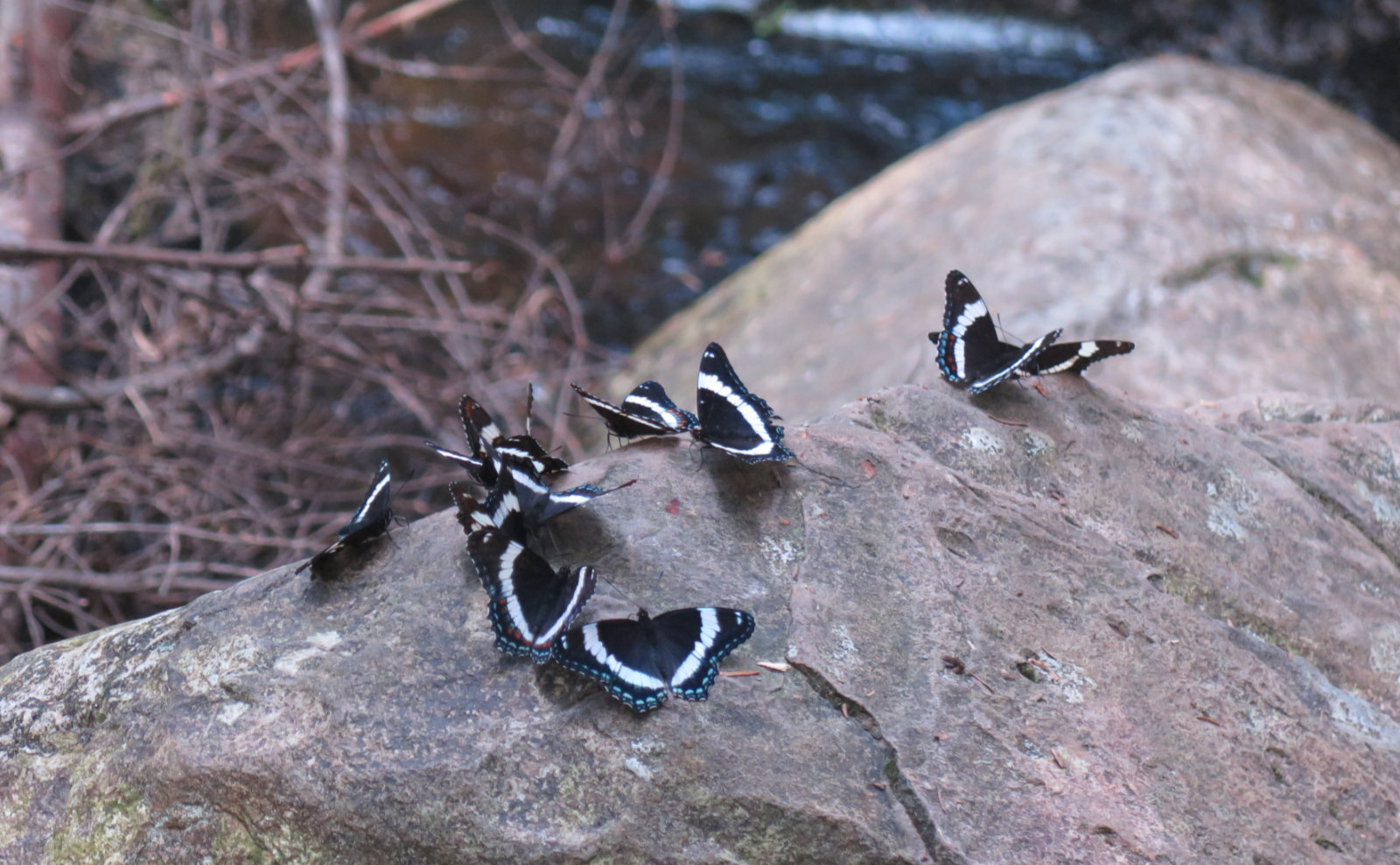
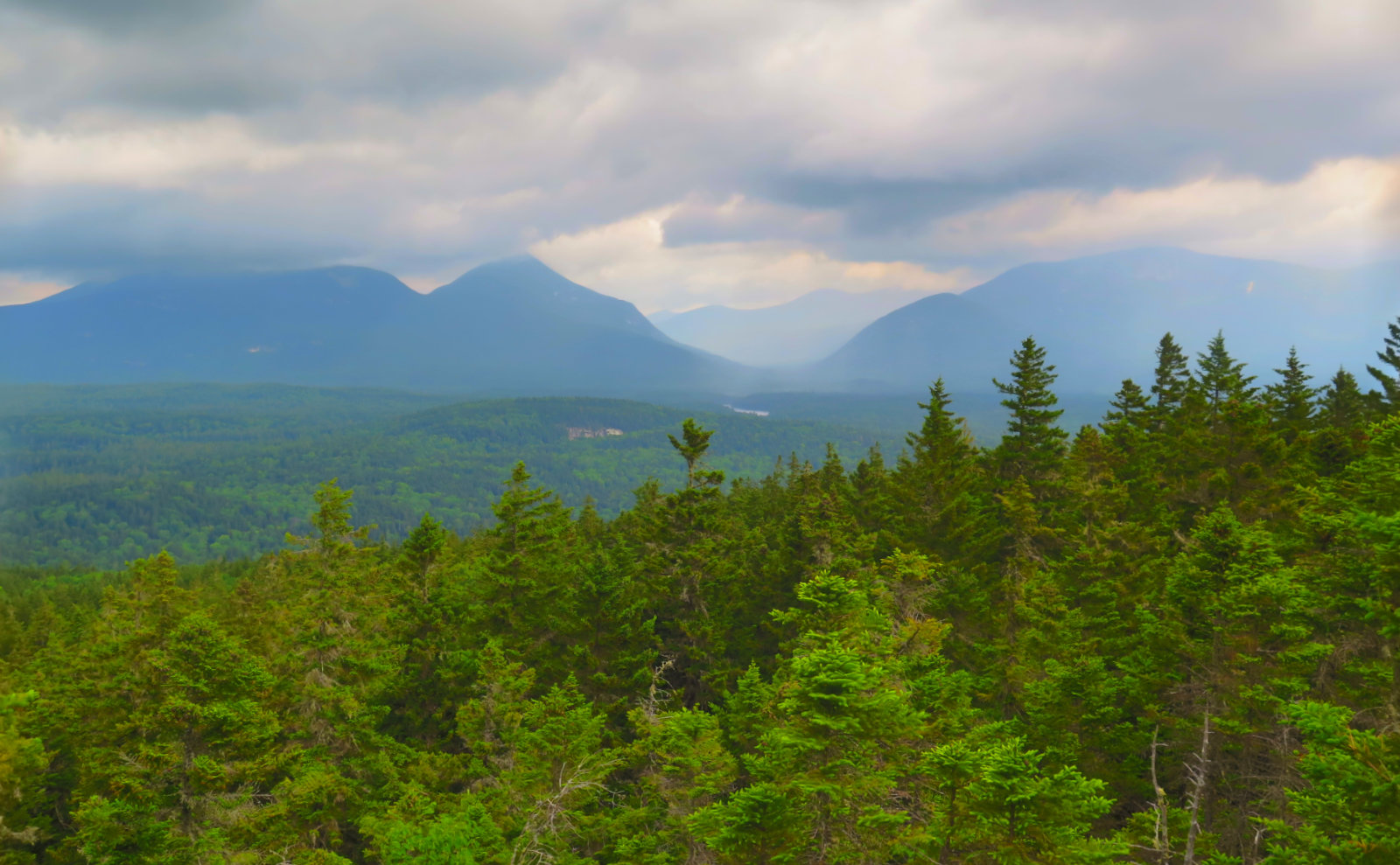
And then, I was on the summit, with amazing views all around. For the effort, epic views of the east side of Katahdin, including Hamlin peak, are right there. I saw snow on the slopes, which was maybe surprising, maybe not. It’s central Maine, after all. Even while I was there, it was much cooler in the evenings, so the snow made sense. A pair of young women shared the summit; we exchanged pleasantries, and then moved on. It was by the same route that I descended, and had a bit more time to savor the views from that pond down below. Wow. Baxter has ponds, and each one is a treasure in its own right. After reaching Roaring Brook campsite, I had a further walk to Avalanche Field, which was the nearest parking — know that Baxter in summer is popular, and you might not be able to park nearest your preferred trailhead. But the access roads are fine for walking. I made good time, passing a plethora of wildflowers, dragonflies, and butterflies. We should all have it so good.
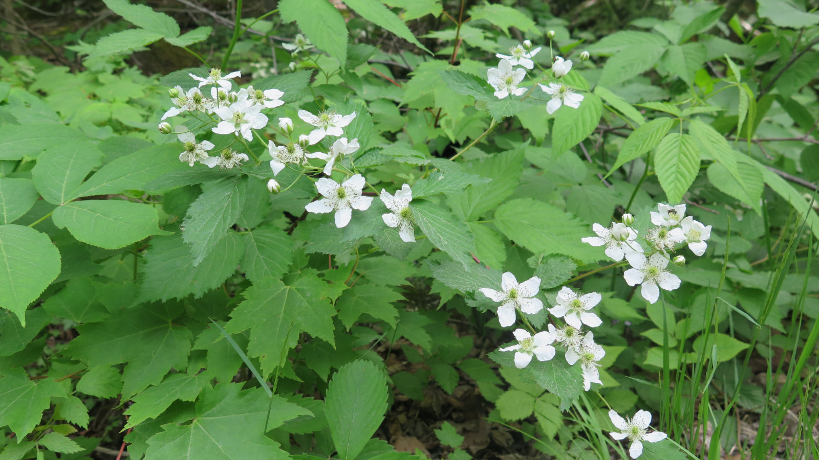
The ascent of Sentinel Mountain was in a similar vein (relatively long, flat approach, then a strenuous climb) except much shorter and less technical. I followed an easy trail that was covered with soft leaf litter. Occasional unavoidable patches of mud, sometimes with large rocks to step across. There was a storm forecast for the afternoon, so I was moving fast, but not so much that the forest bathing was lost on me: the obvious draw of the park is Katahdin, and while people do enjoy hiking Sentinel, there weren’t the crowds. Not quite the solitude that I’d get midweek in wintertime or very early spring, but enough so that I could listen deeply to the forest. Just enough on the serene side. Maybe it’s just me, but sometimes, before a storm, the forest smells different. It was nice moving across that landscape.
Then the trail pitched up, and a semi-monumental stair climb began. Make no bones about it: while the approach is fine and reasonable, you’ve got to make elevation, and thus, you climb upward at a fair, but demanding rate. It’s nowhere near as hard as certain segments of Katahdin, but it’s a mountain in Baxter. There were rocks to climb up, that’s for sure.
Being that much shorter, the summit was treed-in for the most part, though there were some amazing views from the loop trail that circumnavigates the summit. If you go, do that loop. It’s about 0.6 of a mile, not hard at all to follow, and well worth the effort. I was nearly outright instructed by a park ranger to do so, if that means anything, and let’s just say she knew perfectly well what she was talking about. The blazes were present, and for the most part easy to follow, although there were a couple places where I had to hunt around a little. There was a curious amount of ledge in places. Unbridled vistas. Sentinel stands on its own, so in those spots where the view opens up, it does so without let or hindrance. The clouds were starting to descend, but that didn’t matter. The view that enchanted me was seeing the plainly visible difference in elevation between various spaces framed by the various mountains. All that time sitting in high school geology class… I wished I’d paid a little more attention. I also wish I had more time and preparation, because that summit had so many places where a picnic lunch would have been truly lovely. Gosh darn, so many reasons why I have to go back…
I made it off the mountain with plenty of time to spare before the storm. But wow, storms in that park don’t hold back, so while I missed having time to truly look around that little gem of a mountain, at the same time, I got to see it safely. I mentioned in my first 4,000 footer essay that I’d made new friends, in Guyot, Isolation, Owl’s Head, and Moriah. And so it shouldn’t be surprising that this list has expanded, to include a few mountains in Maine.
If you enjoy reading these posts, consider subscribing. Your email will only be used to alert you of new posts — typically 1-2 times per week. I will not use or share your email for any other purpose without your express permission.
One thought on “Trip Report: Baxter State Park; South Turner and Sentinel Mountains”