Mt Whiteface and Mt Passaconaway, Wonalancet, NH. 2023-05-16. (Tuesday)
Via Blueberry Ledge, Rollins, and Dicey’s Mill trails.
60s all day. Warmer down low, cooler up high. Windy: MW OBS called for winds in the 35-50-70 MPH range at different parts of the day. On the trail, what was howling in the treetops was still very present nearer the ground. Most times, a steady wind of about 2-5 MPH was felt.
Trailhead: 1130; Whiteface summit: 1500; Passaconaway summit: 1645; back at car: 1915.
Approximately 3.6 miles to Whiteface summit, 3.5 miles to Passaconaway summit, 4.6 miles back to car. Approximately 11.7 miles total. 3,900 feet cumulative elevation gain, including a col of approximately 750 feet in depth.
Not hard, just strenuous
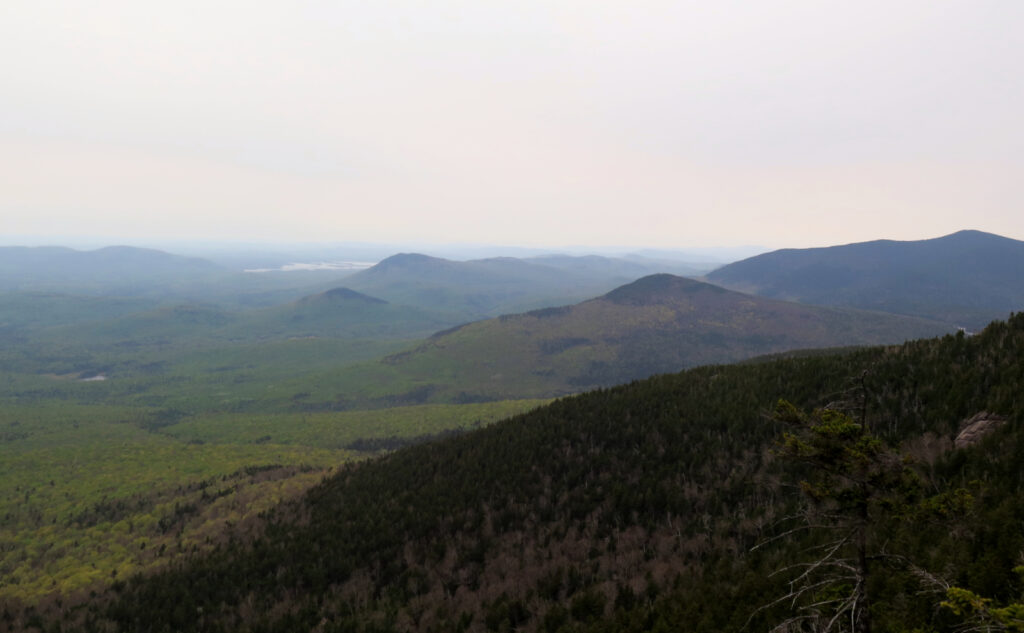
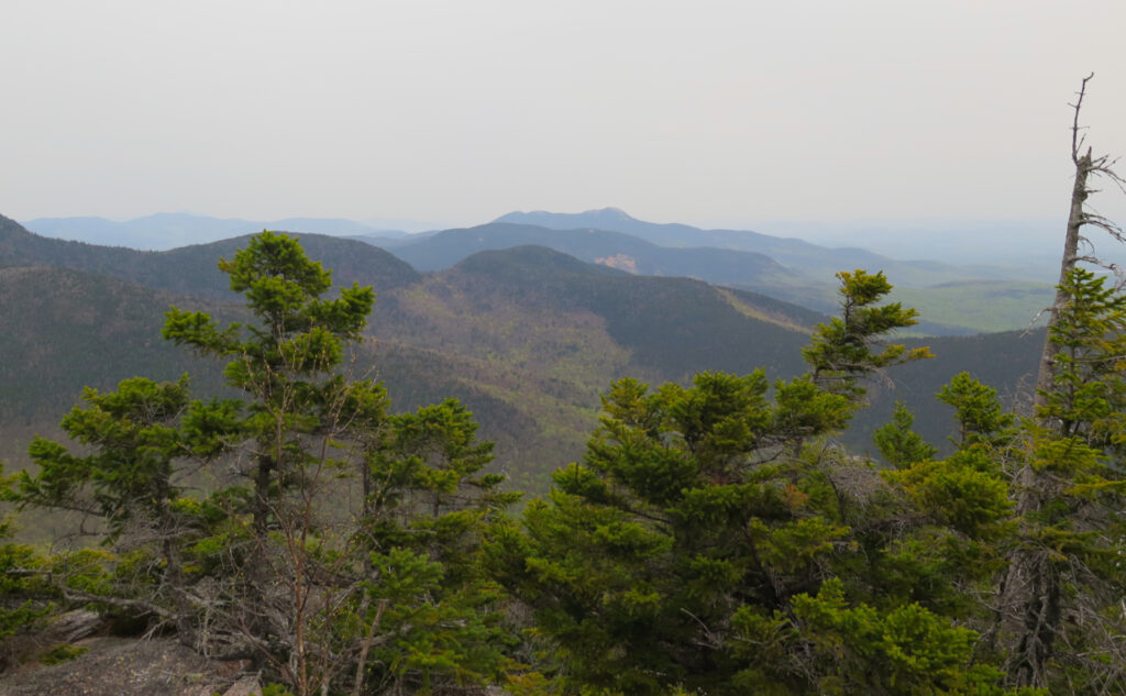
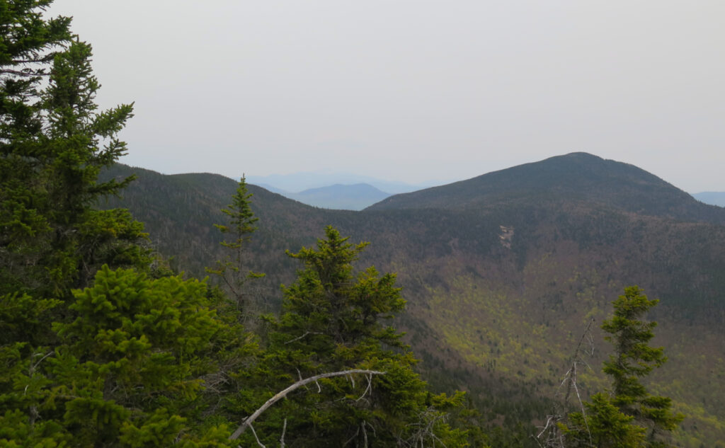
I have a mental list of hikes that aren’t top of mind, because what is top of mind is that those hikes left me feeling beat up. This is one of them. There’s nothing particularly nasty about the route, just that at the end of the day, there’s been a lot of elevation gain (see “750 feet” above) a lot of climbing, and comparatively many miles. Oh, and except for a couple spots, the views aren’t expansive, even by such standards as Tecumseh or Waumbek.
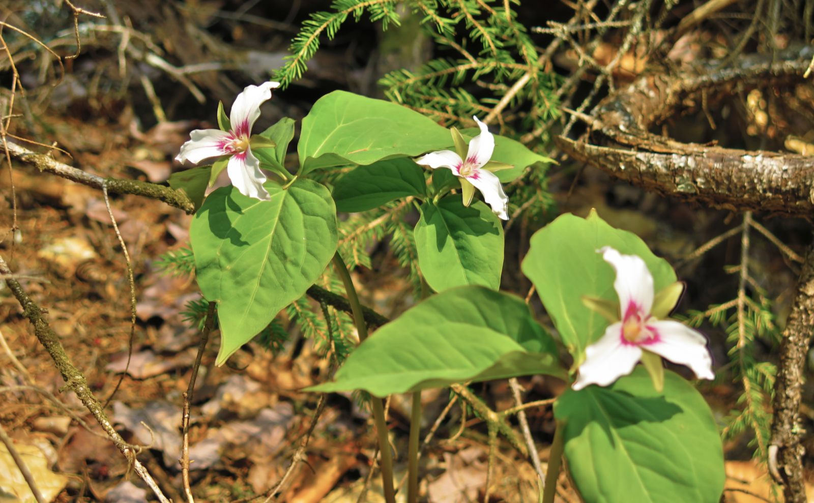
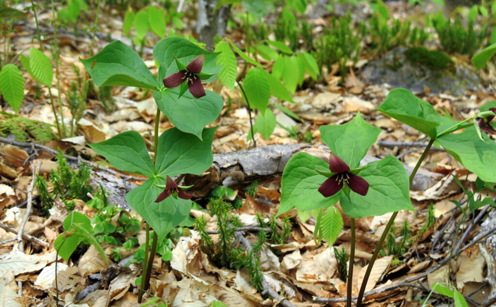
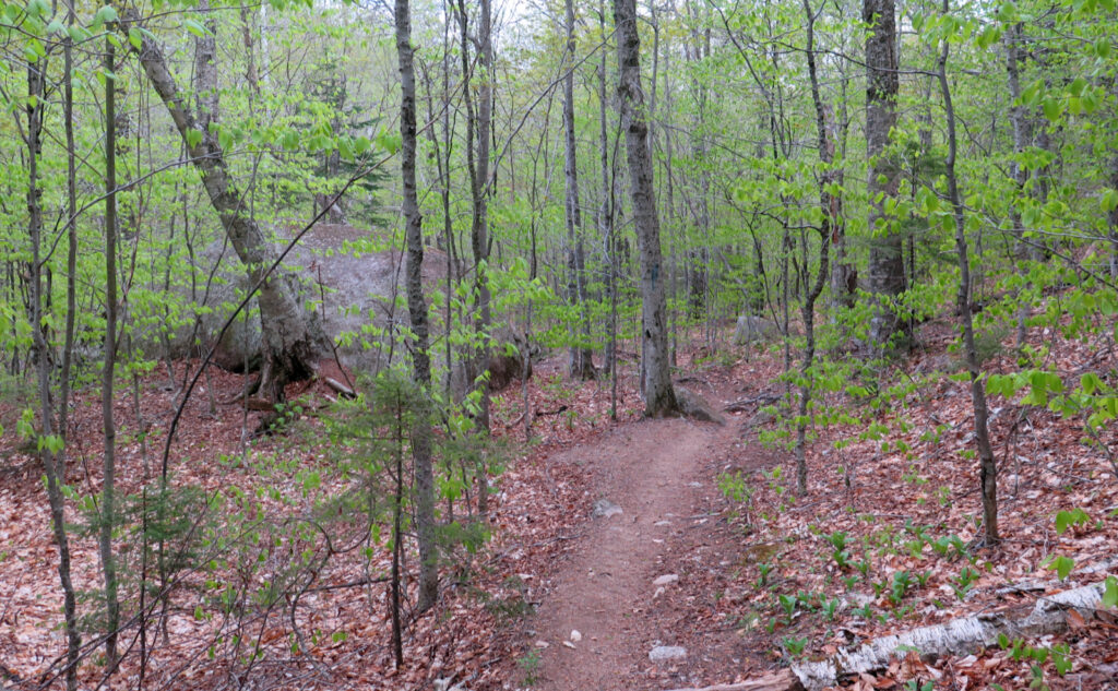
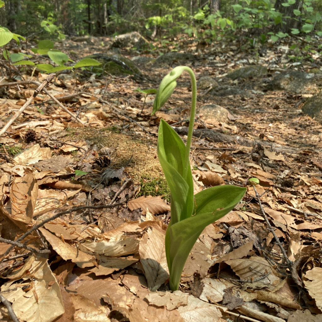
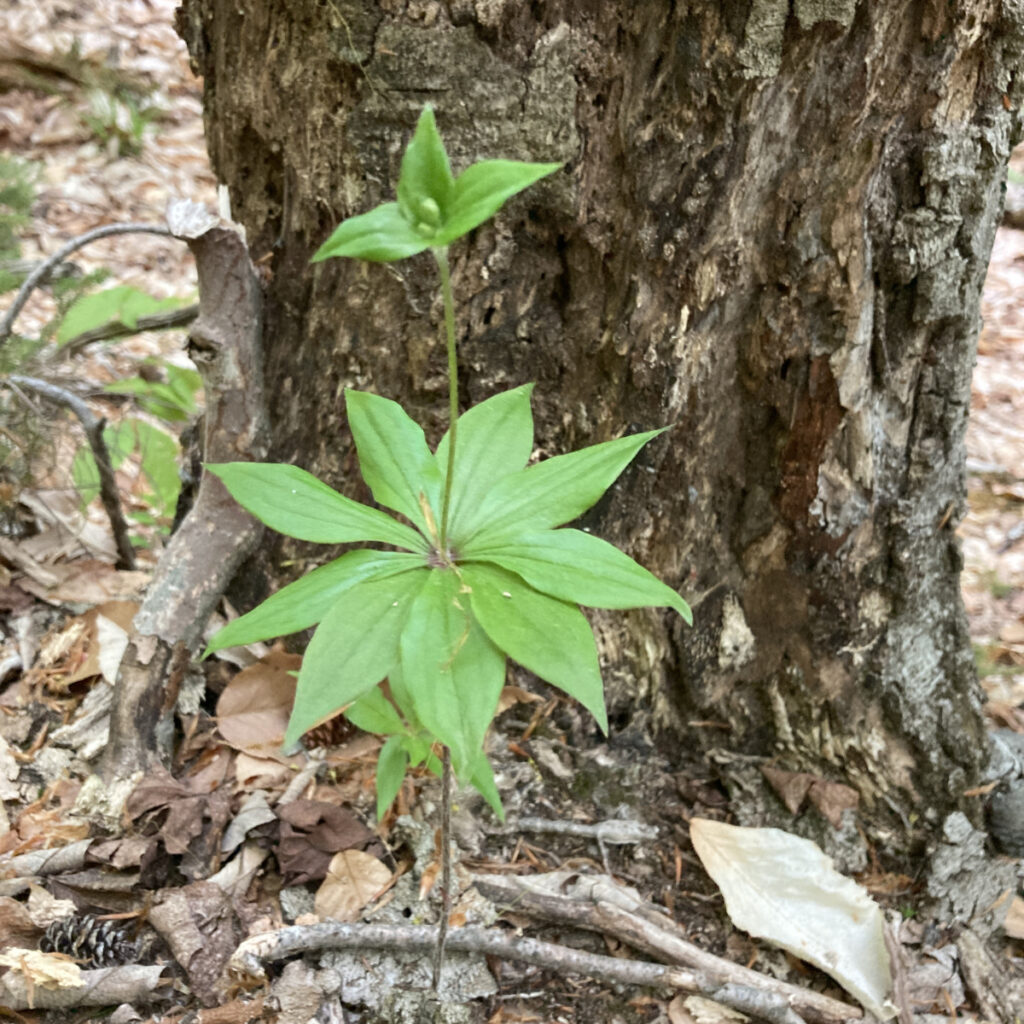
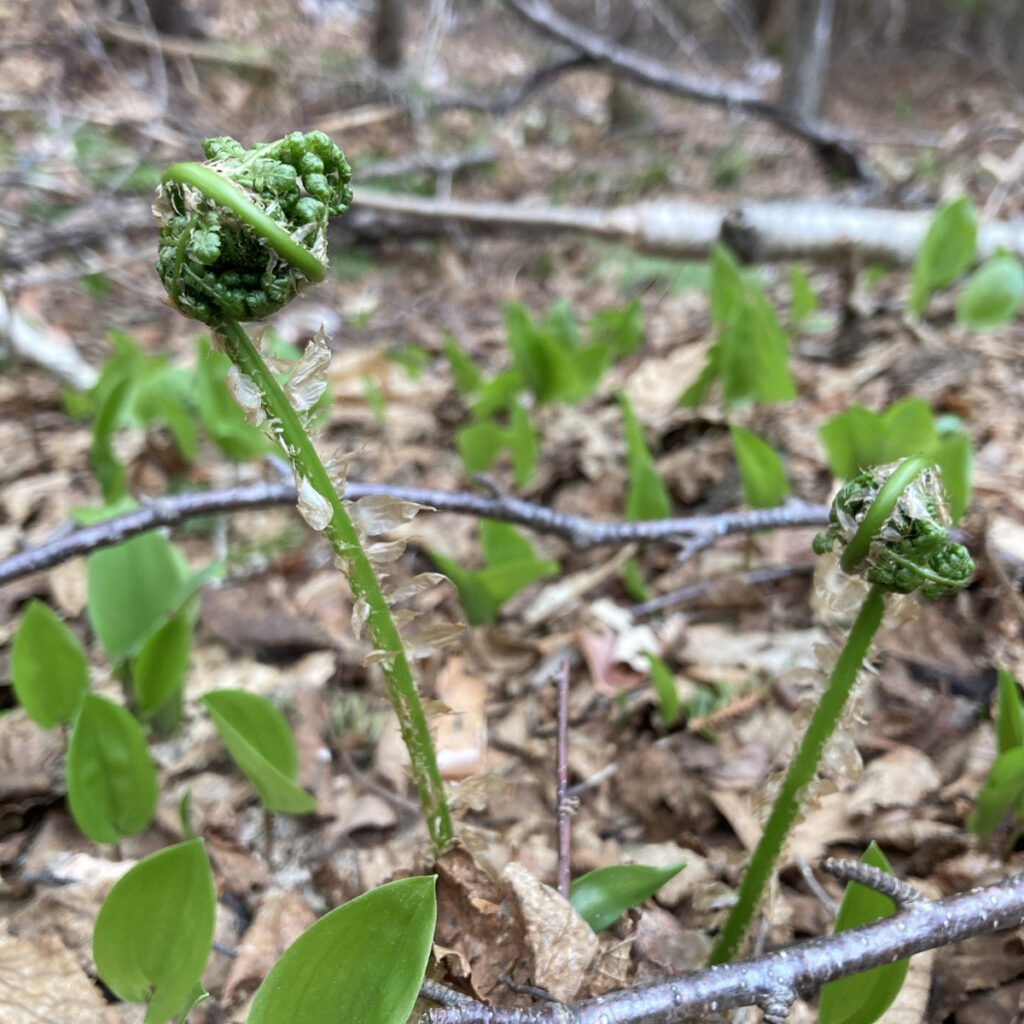
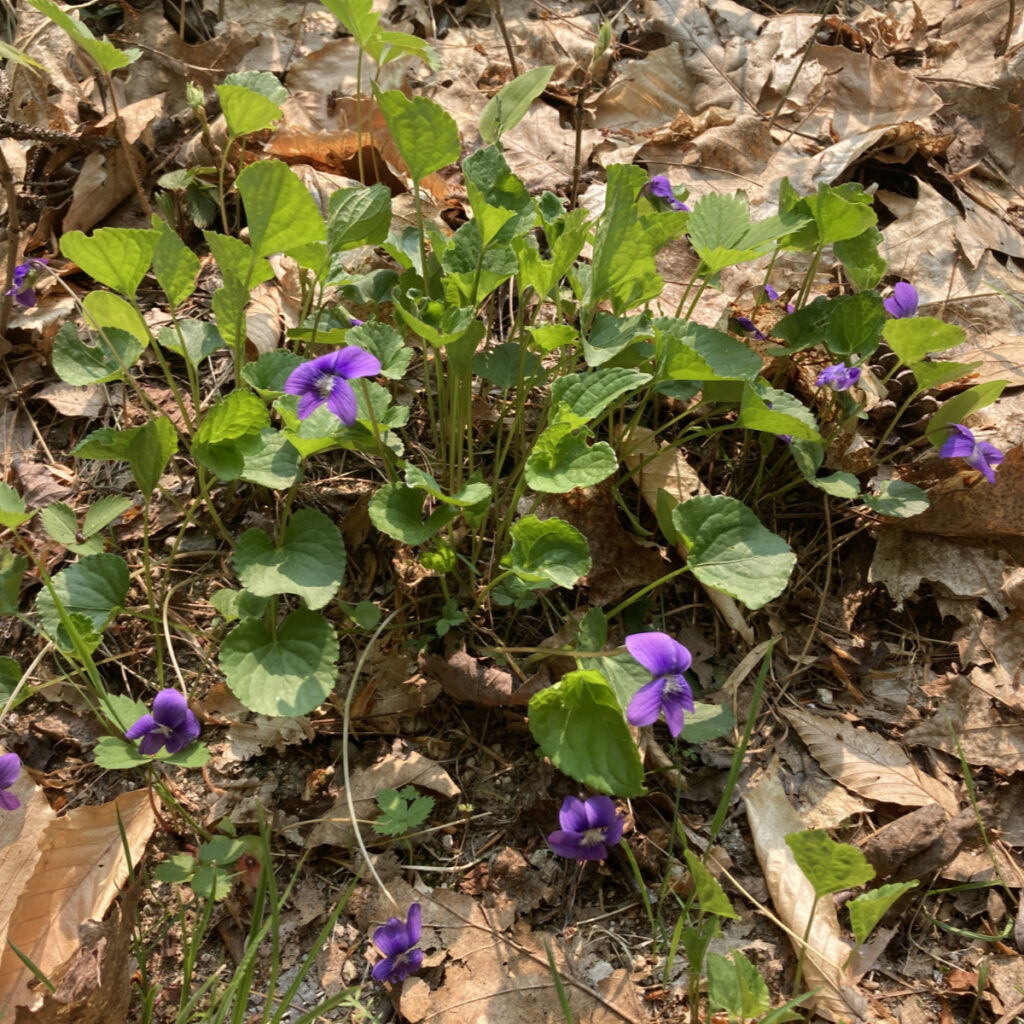
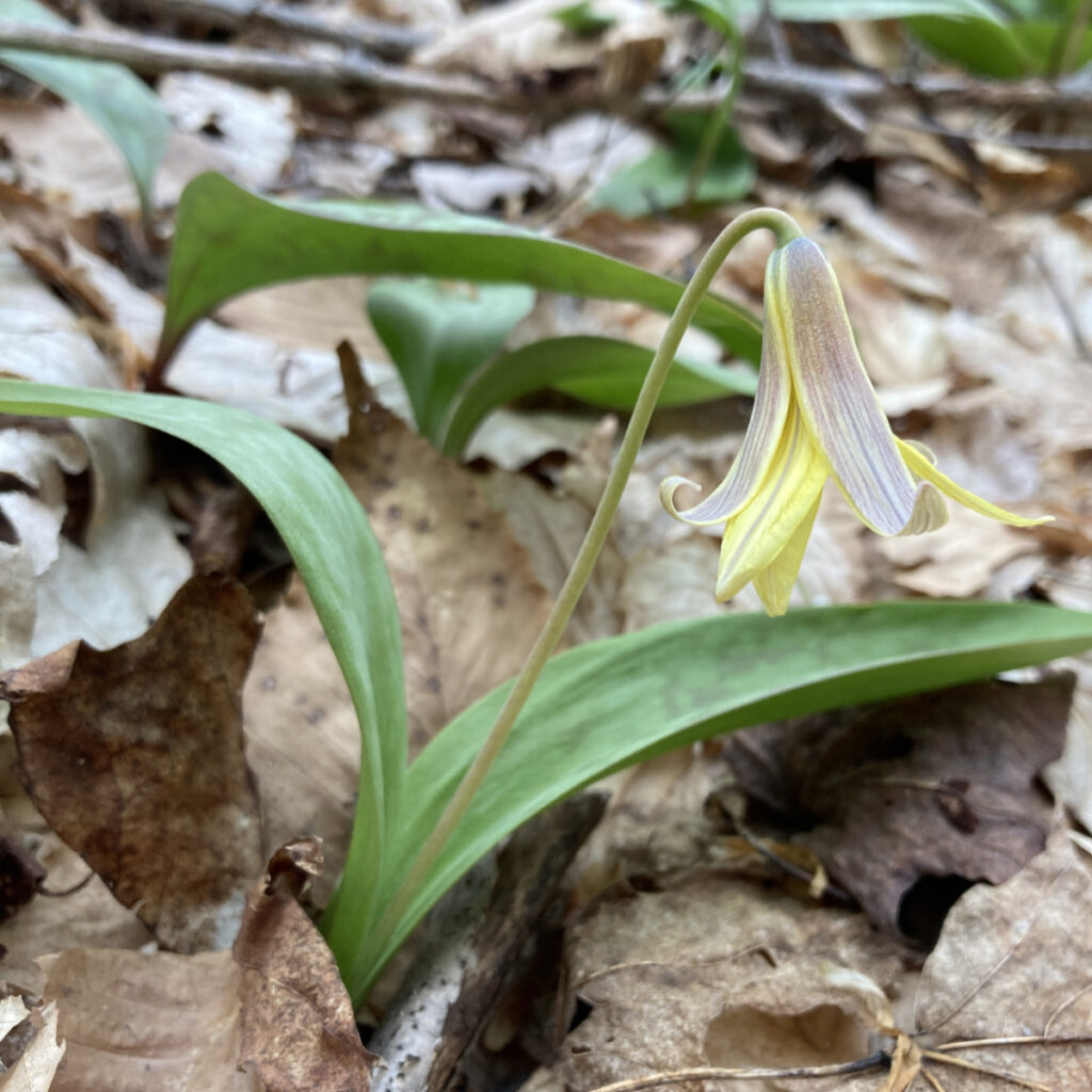
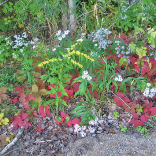
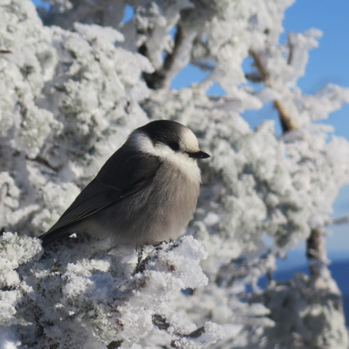
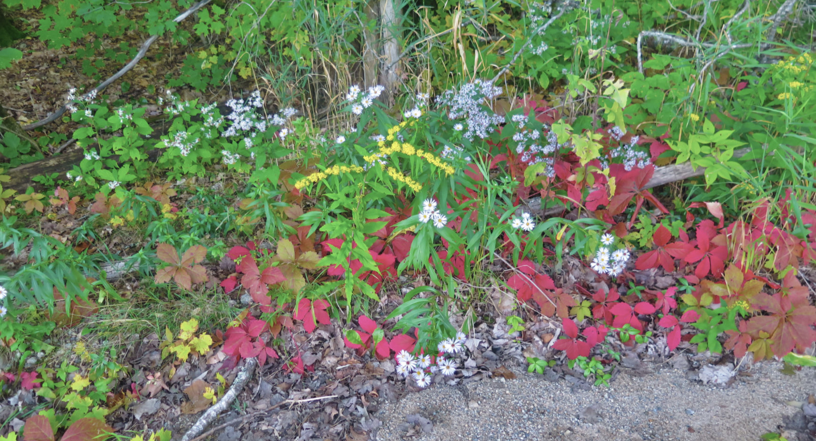
That said, I’m glad I made the effort, despite the pain at the end of the outing. While the views outward were pretty lame (the haze was tremendous, even clipping such sights as Chocorua and the lakes) the views at boot level were outstanding. It’s springtime, and the wildflowers are beginning to hit their stride. Regrettably, I was beginning to run out of phone battery, else my iNaturalist account would be brimming; that said, I did collect a solid number of specimens. There were trilliums as high as 3,000 feet!
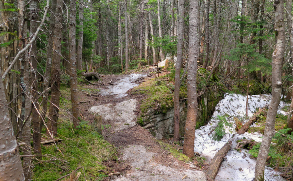
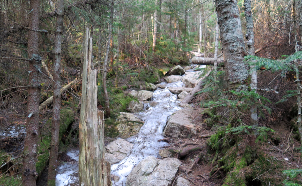
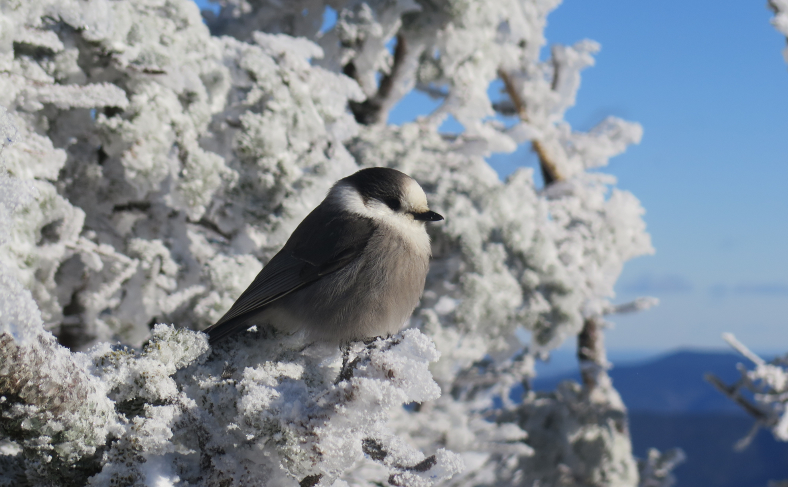
Snow, Ice, Bare Boots. But mostly (nothing but) flowers.
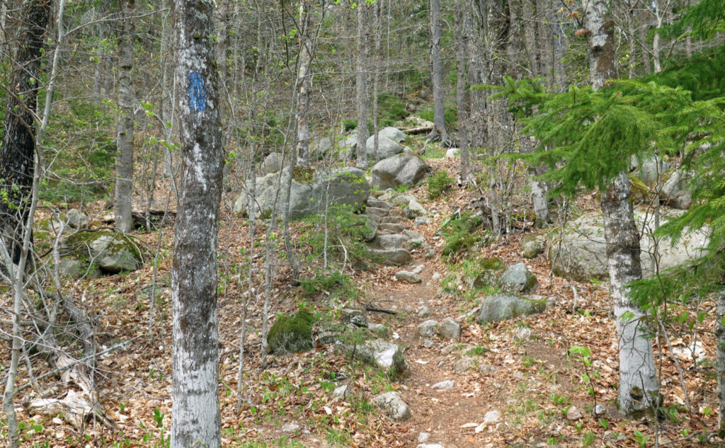
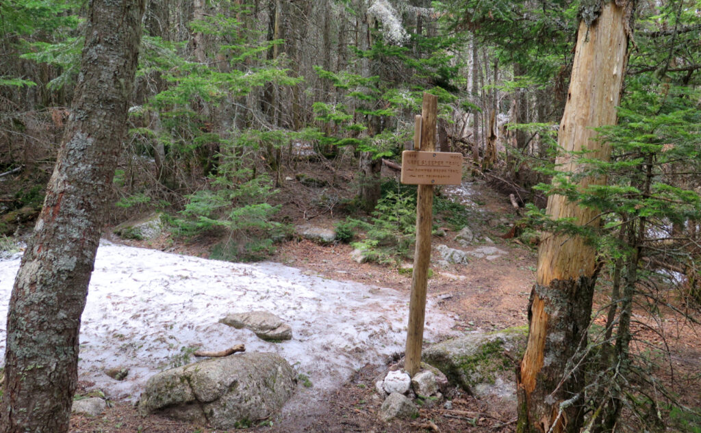
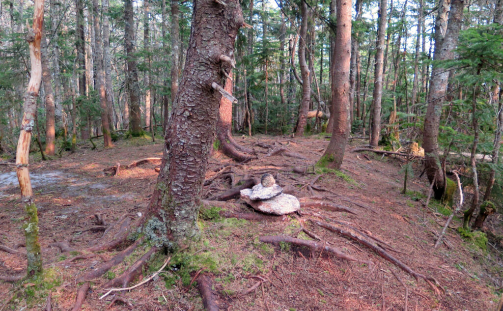
Terrain was mostly tame. I didn’t spy serious ice until about 3,500 feet, and even there, I could dance around it up to the summits and back down. My micro spikes came along for a free ride, which was enjoyable for the psychological boost. If nothing else says “spring has sprung”, making headway without traction is it. Strike that. It was the wildflowers. I hiked a noticeably slower pace through the first 3,000 feet, because I was always looking around and getting sidetracked. Same for the lower 3,000 feet, although I was pretty wiped out at that point, too. The flowers kept my spirits buoyant, and more than a bit forgetful that daylight was fast on its way out.
I’m going to let the rest of the pictures tell the story. Let it serve as a post mortem that this was a good hike, and that those two peaks continue to intrigue, even as they pack a wallop. I think future investigations of their summits should come individually, but of course, weather, scheduling, and other factors will inevitably have their opinions.
As always, stay safe out there.
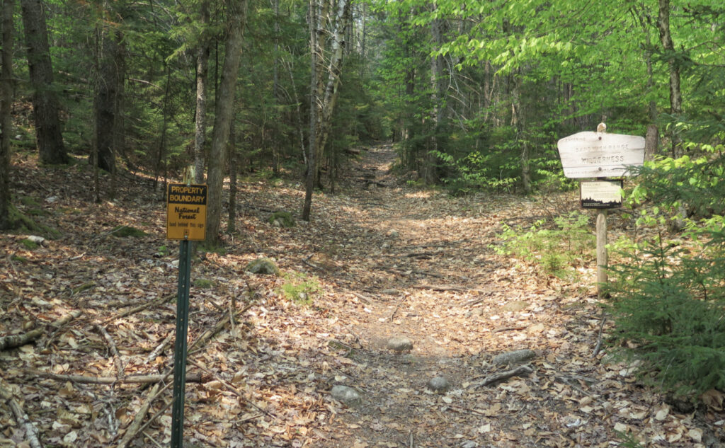

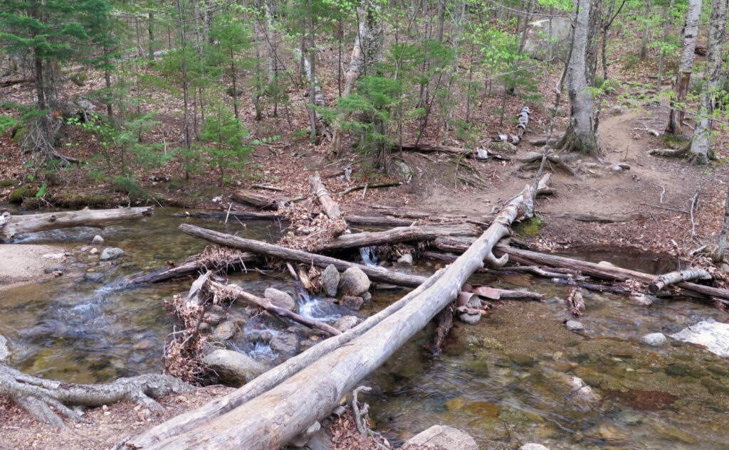
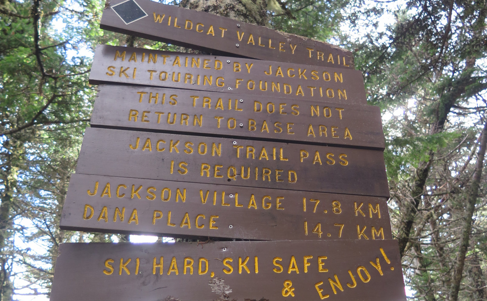
Nuts and Bolts: From 113A in Sandwich, turn onto Ferncroft Road. After a bit, you’ll see a familiar brown hiker sign with an arrow, some signs saying “No Hiker Parking”, and a field with a trailhead sign. Park in that lot. You’ll have to walk about half a mile to the trailhead proper. If you’re taking Blueberry Ledge trail up (recommended, as the ledges are a bear on the way down, especially if it’s wet) you’ll hike over a short wooden bridge on your way. At the bridge, find a street sign marked “Squirrel Bridge Road” and make your way across. There are small wooden signs pointing the way beyond to the trail. Please note that you’ll be on or very near private land through the beginning and end of your hike. Please be mindful, and tread lightly as you cross their lands.
Similarly, Dicey’s Mill Trail terminates in another landowner’s field. Traditionally, the owner has been welcoming of hikers. Please don’t mess this up. As an aside, if you’re coming off-trail in the dark, and the sky is clear, turn off your headlamp and tip your gaze upwards. You won’t be disappointed.
Parking: I’ve never seen this be an issue. However, parking for hikers is limited to the area off the right of Ferncroft road. (Location is pretty obvious; there are plenty of signs.) All along Ferncroft Road are no parking signs. If the lot is full, there are other fine places to hike nearby. As always, don’t be that guy.
If you enjoy reading these posts, please subscribe — stay in the loop! Your email will only be used to alert you of new posts — typically 1-2 times per week. I will not use or share your email for any other purpose without your express permission. And feel free to share via social media using the buttons below.
Find me in the mountains, on this blog, or on Twitter: @Protean_Hiker https://twitter.com/Protean_Hiker/
Help support this blog! Visit www.photos.proteanwanderer.com to buy some of my signature images.
One thought on “Trip Report: Whiteface and Passaconaway, a sub-alpine sandwich”
When the long views out are subpar, there’s always something at your feet to amaze.