Carter Dome (4,832 feet), South (4,430 feet) and Middle Carter (4,610 feet), Mt Moriah (4,049 feet). Also includes Mt Hight, Mt Lethe, North Carter, and Imp Mountain. 2022-09-14 and 15 (Wednesday and Thursday.)
Via 19 Mile Brook Trail, Carter Dome Trail, Appalachian Trail (Carter-Moriah trail, Kenduskeag trail), Imp Shelter Spur. Around 18 miles.
60 dF at the trailhead, mid-low 50s at the summits and on the ridge. Overnight temps fell to the low 40s, possibly dipped into the high 30s. Thursday temps hung out in the high 40s to start the day, warming up to the mid 50s by afternoon. Winds were OK but very present on day one, generally hideous on day two, ranging from a very brisk breeze even where trees were protective, to a very blustery 20-30 MPH in exposed areas. Sodden on Wednesday, cloudy Thursday morning, becoming completely sunny and very pleasant by afternoon.
Trailhead: 1100. Carter Dome summit: 1415. South Carter summit: 1530. Middle Carter summit: 1700. Imp shelter: 1800. Morning start: 0800. Moriah summit: 0930. Car: 1400.
Breezes blowing, clouds colliding.
When I was preparing myself to hike the AT back in 2019, I decided to nail down the 20-plus miles from Pinkham Notch to the Rattle River Trailhead. It was an epic trip, and I have fond memories of so much of it. No shortage of those memories concern all the AT hikers I had the privilege to hike with, and whom bestowed upon me knowledge of the trail.
But aside from the joy, it was a crushingly long day, clocking in at thirteen and a half hours. Most thru-hikers I’ve met have admitted they were clocking 20+ mile days before hitting New Hampshire… and then seeing their daily mileage barely creep north of 12-15 miles. In light of that, I didn’t feel bad when I basically staggered across the finish line of my 20+ mile epic, long after the sun had set.
That heroism not withstanding, I decided that when I do it again, I’d stay at Imp and break the outing into two much more easily managed parts. I didn’t do all 20 miles of it this time, but as a proof of concept, the past two days worked out well. Part of me wonders if it’ll be better as a three day trip, even. There are gems to be savored along the way, for sure.
Multi-day madness!
This summer has been quite busy in the sense of getting out on multi-day trips. I’m not complaining. Eight days and five nights in total, and a lot of dialing-in gear and technique. I’d like to hope I can be this ambitious next summer, because it’s been productive. And not for nothing, I’m getting some use out of stuff that sits idle all winter long. (I’ve yet to wrap my head around the idea of brushing snow off my tent.)
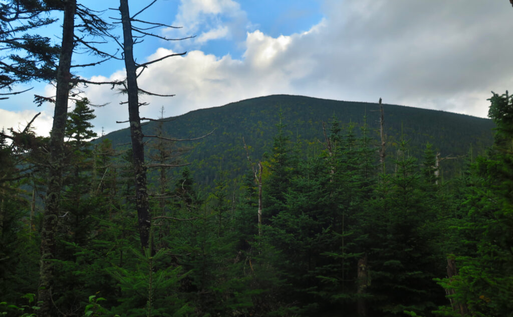
All said about the joy of waking up in the woods, these were still hard miles. (Did I mention that?!) That ridge features some rough terrain. Carter Dome isn’t a low mountain by any stretch. And the cumulative elevation gain, even when spread across the totality of the route, is pretty hard-core, even without the descent into Carter Notch from the Wildcats. Just going from Imp Shelter to Moriah’s summit is nearly 1,000 feet.
Driving to that part of the Whites isn’t as quick as getting to, say, Waterville Valley. I arrived at the trailhead about an hour after I’d wanted. But I was there, and it wasn’t raining like it was here and there as I crossed over from Twin Mountain. Some mild apprehension ran through the air, though. There were many vertical feet to the summit of Carter Dome — it stands nearly as tall as South Twin. No questions lingered: I was going to get my money’s worth on this peak alone.
No time to head for the summit like the present.
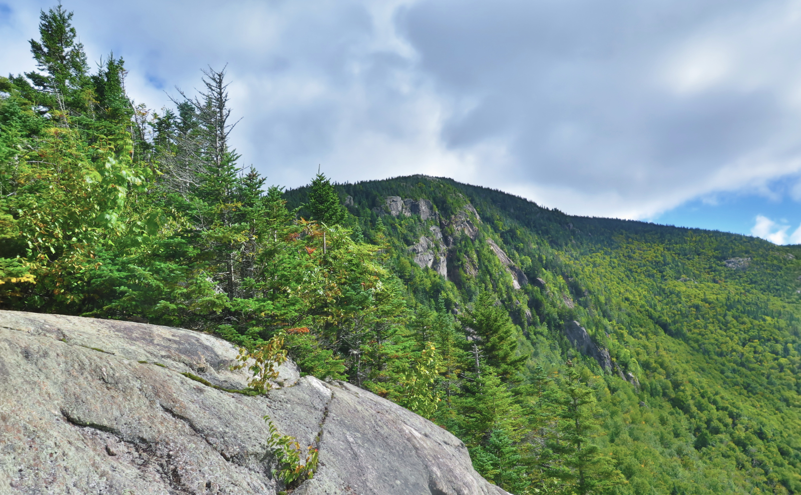
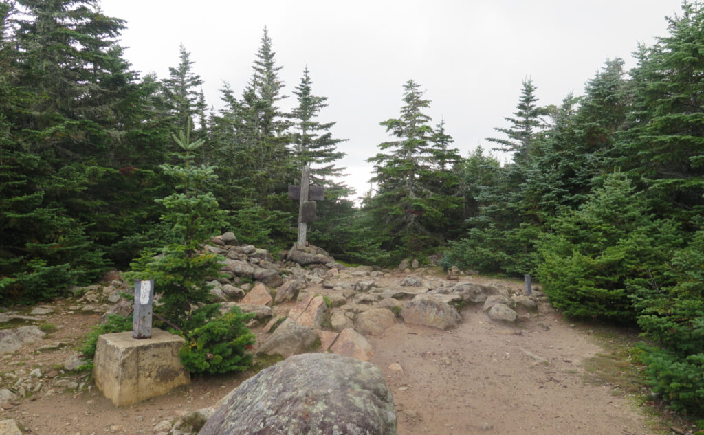
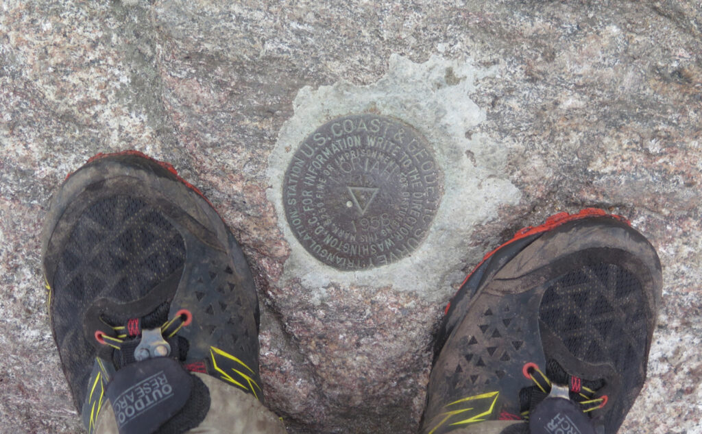
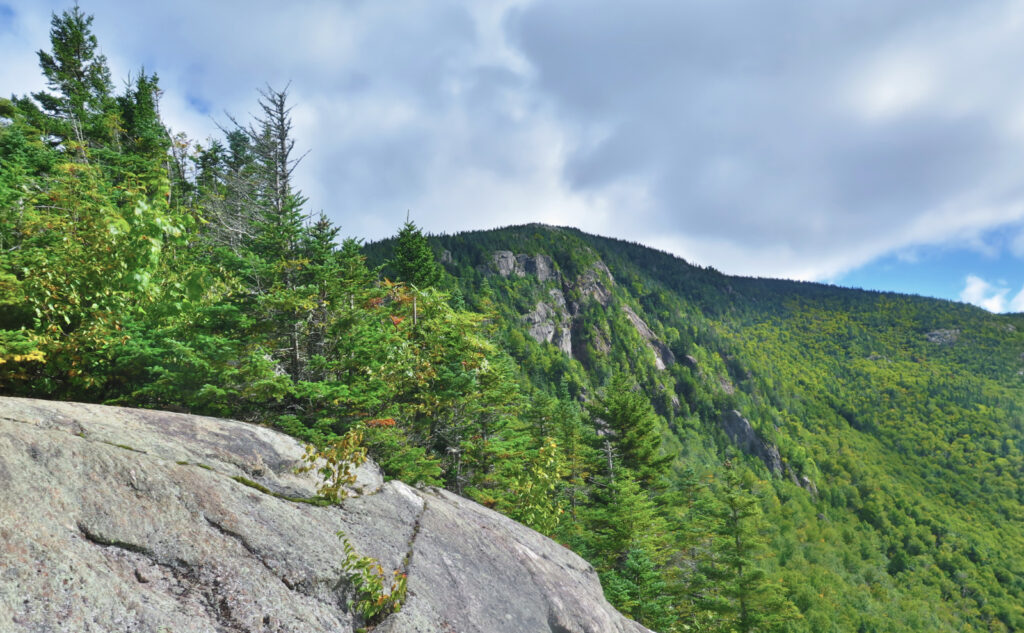
I headed up, destined for the summit, and in time, I crossed over the familiar terrain. Recalling that first time I stood there, when I stood *over* the summit, on no small amount of snow. This time, I could see the familiar old foundations of the fire tower, and the summit medallion. I turned to the south… Carter, that is, heading north along the AT. (Read that again, look at the map. It’ll make sense in its own way.)
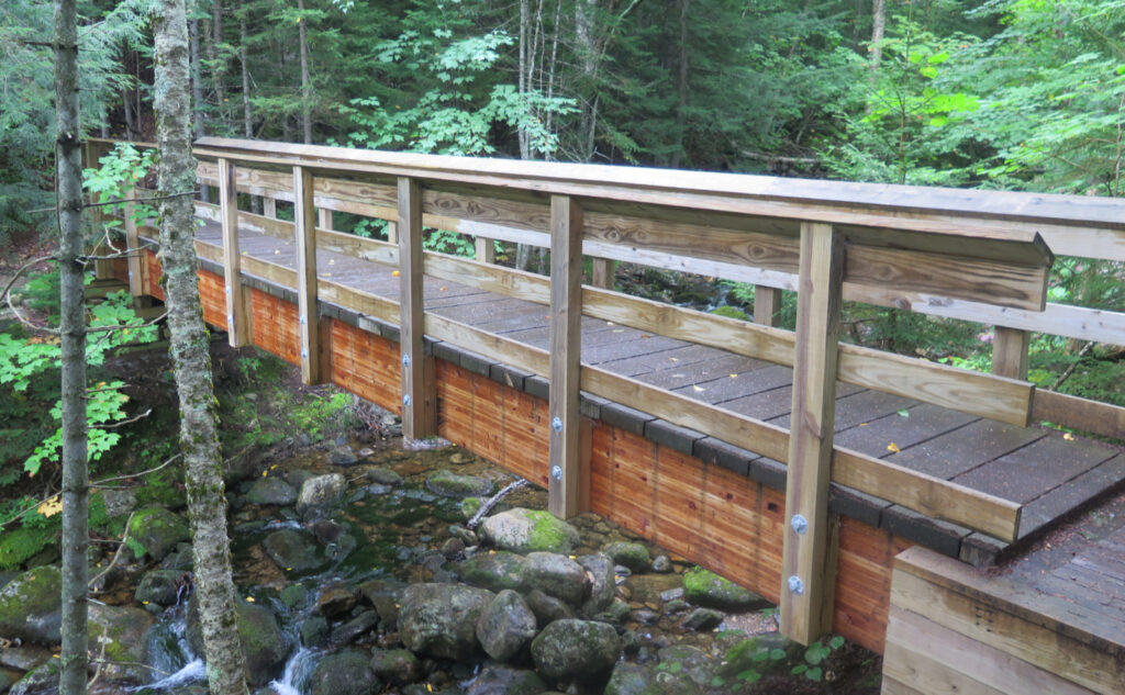
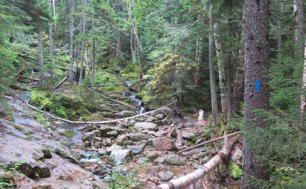
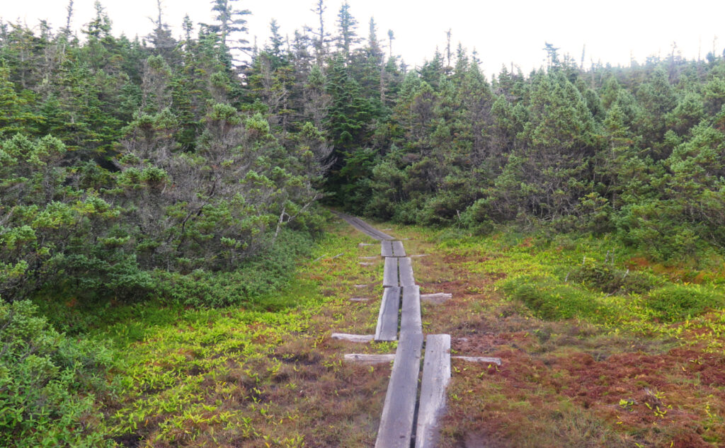
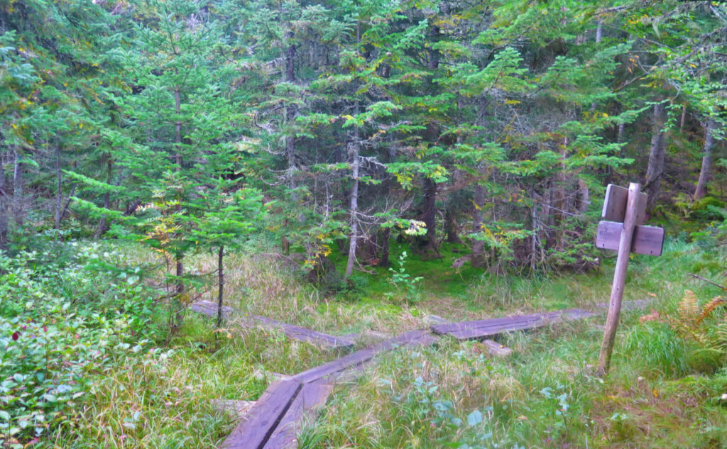
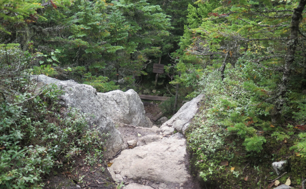
The ridge is perhaps rockier than I remembered. True or not, I remember the ridge of the Wildcats as being rather tame kittens, and that sense extended across to Moriah. But this time around, the rough going across the Carters (and especially climbing up Imp) was a bit of a surprise. And there was this bog bridge, reminiscent of that on Jackson, that seemed to keep popping up. Are my knees getting tired, or am I imagining things? Obviously, I need another go-round of this. For science!
Along the way, I met a few AT hikers. The hiker bubble was upon us in August — I saw dozens of them on my Pemi Loop. The NOBOs have about a month left (Katahdin typically shuts the mountain in mid-October because the weather kicks up a lot around then) and the SOBOs typically start in mid-late summer, ideally following the edge of summer and autumn all the way to Springer Mountain. So to find any on the trail at this point is pretty rare. But welcome. There was much conversation, all of it very pleasant, no shortage of it informative.
As the sun sets, time to camp.
I got to the shelter with about an hour of daylight remaining in the sky. Less than I’d planned, but it didn’t matter. Remember the wind? This outing, it was present far more than usual. I have no arguments… but then again, arguing with the wind is like arguing that the sun should slow down a little, so you have more daylight. Anyway, it was blustery all day, with no signs of abating.
I was welcomed to a space in the shelter by two AT hikers (there being all of about half a dozen of us in the entire tentsite) and that sealed the deal without further thought. Remembering the wind breathing against my tent on Garfield, all night with the clanging and banging, I wanted none of that. Camaraderie? That was pretty good, too.
I cooked my dinner, and then made my bed, enjoying conversation throughout. And then slumber — oddly dreaming of a soft grey pit bull puppy, with a tail that couldn’t hold still for love or money. OMG, pitties!
Slumber… kinda, sorta.
…And yet, I woke up a lot in the night. Remember that wind? It howled all night long, and Imp Shelter is on the wrong side of the col if the wind comes from Washington. But a night of sleep in the forest is a curious balm. One needs less slumber than in “civilization.” There might be something there. Just sayin’.
Periodically through the night, I’d look out the shelter door, and note the sky. Starless, but by Dylan Thomas, not at all bible-black. There was, throughout, a curious luminance to the clouds. Gorham isn’t that big a town, so maybe the moon above? My app (doesn’t everyone have an app these days?) says the moon was about 2/3 illuminated, so that’s a good candidate. It felt a bit weird. And yet, it offered me a night full of watching shadows of the nearby branches swaying in the wind. (That is, when I wasn’t reading a book on my ‘phone.) Ho-hum? There’s a calm to be found by simply watch branches sway in the wind. When you let go, anything is possible.
On the wind, you could hear the crashing of waves against the shore. The movement of the trees by unseen hands, sighing and creaking like the lost harmonium of the heavens. And lying beneath it all, the sleepy delirium of dreams, some waiting to be realized in the coming day. I could imagine fully those breakers, the sand beneath my feet, the salty air, and by occasion, that led me into Morpheus’ loving embrace. Maybe not as much actual sleep as I’d want, but certainly relaxation and restful calm.
A new day, new anticipations!
Not long after dawn, I got up, and if anything, the wind seemed a bit more spirited, and came with a frosty nip. Breakfast, some coffee, and it was time to pack things up. Time to climb Moriah. My sleeping bag was still warm, beckoning me to come back into its embrace. I remained undaunted. The morning, cold and cloudy as it was, felt a bit uninviting at camp, but to the west, through the tangle of trees, I could see a thin slice of blue sky. An invitation to get moving that couldn’t be denied. I hoisted my pack to my shoulders.
There was a point, when I reached the junction of the Stony Brook Trail. I stood on the bog bridge, surrounded by grasses and a lot of other thick, boggy growth. There aren’t many spots like this in the forest, small little places with a magical, introspective quality. Moriah still waited in front of me, and of course, I’d stand on her summit before long. But I paused, asking myself whether I’d stick with my earlier plan to descend by Imp, and knew that I wouldn’t. My legs were exhausted, and I was getting worn down by the unrelenting wind. Continuing, I enjoyed the rambunctious growth as I crossed the bog bridge, heading upward.
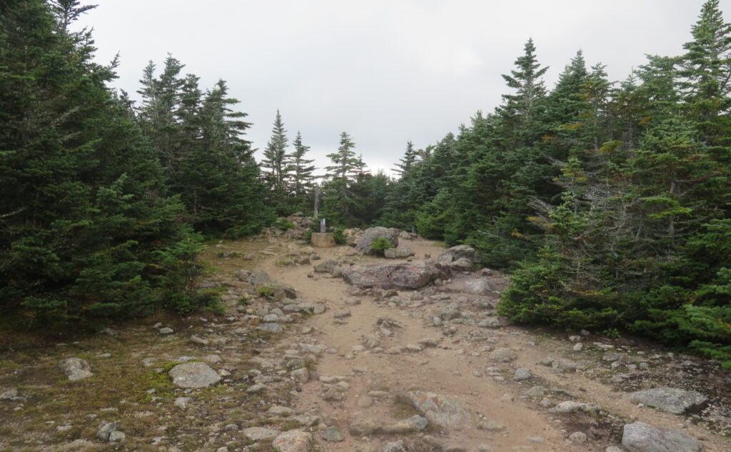
And then, before long, I stood at the junction with the summit spur. Last time I was here, that I can immediately recall, was about three years ago. It was a glorious day back then, but now, there were so many clouds overhead. I made the steep climb up the ledge, and moments later, stepped on the summit medallion. Number 244 for my grid, achieved. I’m about 43% along.
Time to head back.
I descended by Stony Brook Trail, mostly because I was just done with the banshee wind that had been a feature of this entire outing. Especially crossing the exposed parts ascending Moriah, I was getting tossed around quite a bit. Discarding that, the weather would’ve actually been quite clement; the morning was warming up quite nicely. But the wind was just so unrelenting, so present, and in the end, it was just so much of a thing that I was done with it. I was glad, when I passed down into the lower elevations, to feel it slack measurably. The sun had come out in earnest by then, and the breeze joined with some occasionally falling leaves, making the day feel almost autumnal and serene.
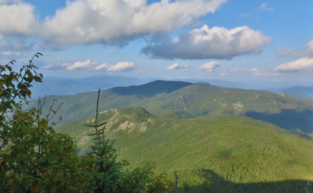
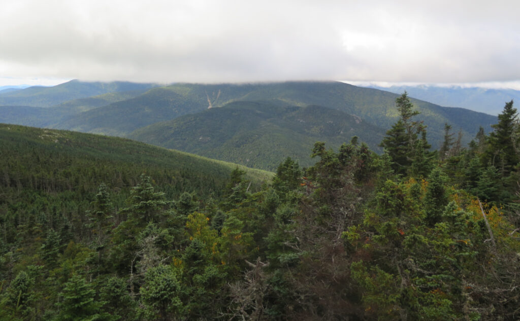
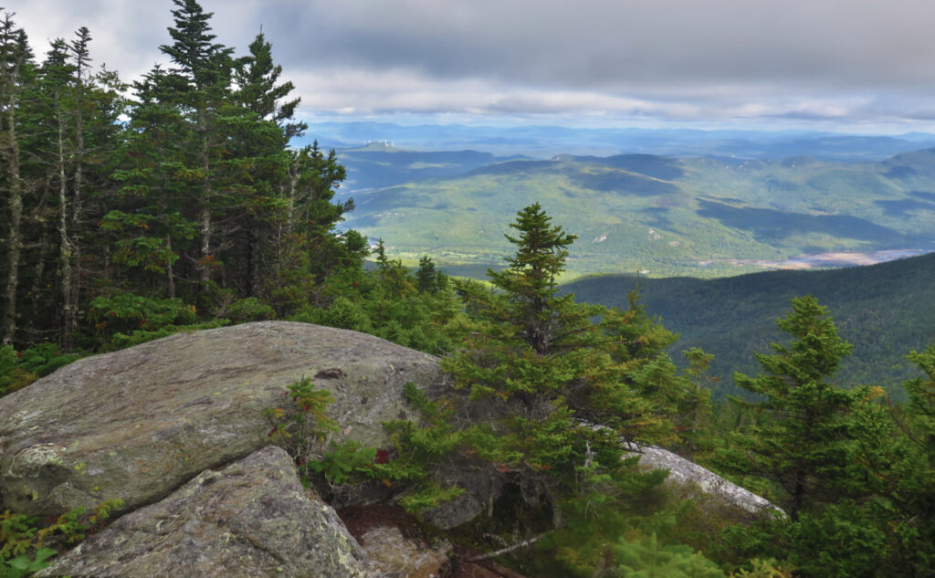
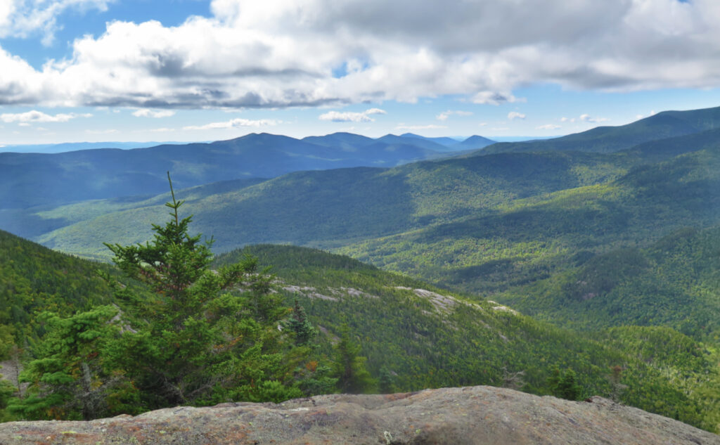
There was a road walk, then the car. Huzzah. And after all that, some laundry and the usual chattels of life. But for two more precious days, I lived in the forest, listening only to the hush of the trees. There was a lot of wind, some measure of cold hands in the morning. The views of the Wild River Wilderness from the shoulders of Moriah, especially on my way down, were intoxicating. So much unspoiled land! (In that way, I’m glad this area takes a lot longer to reach.) There were aches and pains, to be sure. But the memories of them will fade quickly, while the much fonder ones will remain. The good certainly outweighed the hardship.
As always, stay safe out there.
Nuts and Bolts: 19 Mile Brook Trail is on Route 16, just south of Gorham. Once you pass Dolly Copp Picnic Area (note this is south of the Dolly Copp Campground) watch out for the Great Gulf Trailhead parking on the right, about one mile down. 19 Mile Brook is about half a mile or so after that, on the east side of the road. If you hit the Mt Washington Auto Road, then you’ve gone too far by about a mile.
Blazes are white on the ridge, which is on the AT. Approaching that, blazes are blue. Junctions are typically signed well enough that with any map, you should be OK. Much of the AT is well maintained, or at least so well trampled that it’s easily hiked. Not all the blue-blazed trails enjoy as much attention. In the face of a blow-down or some really nasty mud, please consider the health of the “preferred” trail when navigating around the obstacle, especially after a heavy rain.
If you enjoy reading these posts, please subscribe — stay in the loop! Your email will only be used to alert you of new posts — typically 1-2 times per week. I will not use or share your email for any other purpose without your express permission. And feel free to share via social media using the buttons below.
Find me in the mountains, on this blog, or on Twitter: @Protean_Hiker