South Twin Mountain (4,902 feet). Bethlehem, NH. 2021-11-18 (Thursday.)
Via Gale River Trail, Garfield Ridge Trail, Twinway. 11.2 miles round-trip.
38 dF at the trailhead, 40 dF at the summit. 55 dF at car.Winds were negligible in the trees, a light breeze at the hut, and about 10-15 knots at the summit. Sun and clouds to the hut. Increasing cloudiness up the Twinway, with South Twin summit socked-in. Resuming sun and clouds on the descent to the hut, transitioning to sprinkles at dusk. And a torrential downpour just as I turned off the Gale River Loop Road back onto US Route 3. (Just about ten minutes after I got in the car — talk about timing!)
Trailhead: 0935. Galehead Hut: 1230. South Twin summit: 1340. Car: 1720.
Sweat and tears are oddly intertwined.
Ever since I hiked North Twin last January, I’ve been eyeing the route to South Twin via Galehead. I’ve hiked the Pemi Loop twice, and there was that time when I hiked North and South Twin in the rain and thunder. But I’ve not put hiking Galehead together with South Twin in a direct sense — as in, not when starting out from the trailhead. Obviously, I had to see if this was going to make sense in the wintertime. If I could get my act together, there’d even be a chance I could bag North Twin and perhaps even Galehead, which would make the day quite a haul.
So as things turned out, I got South Twin. Yup. I’m now two for two on not linking up the two Twins. For that matter, forget not going the few hundred feet up to nab Galehead itself. It turned out to be that kind of outing, where plans slip a little, then a little more, and finally completely slide off into oblivion. Flexibility in my plans ultimately saved what turned out to be a harder than expected day. Which was funny, because the last time I came up this way, I had a pretty good time — my first time up here, when the mountain was still terra incognito to me, was a total blast.
It wasn’t that I got a late start. Honestly, that wouldn’t have changed much. It wasn’t the lack of proper footwear, although that did me no favors, either. It was an accumulation of unexpected things that made a fairly short hike (at least for me) into a long slog. Frustration crept in, and I had to make a conscious effort to smile through the tears, so to speak. To sing, in the way of Leonard Cohen, Hallelujah. In the end, I had to cut my losses and salvage what I could of the outing. Would the day remain?
A hike is time not spent in the office, lest we forget that basic truth.
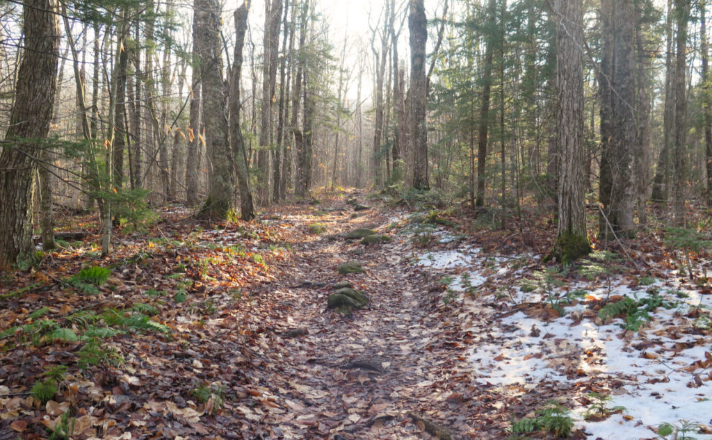
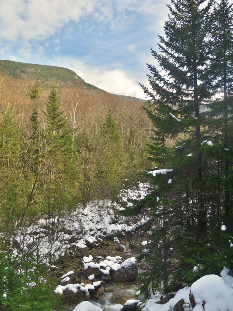
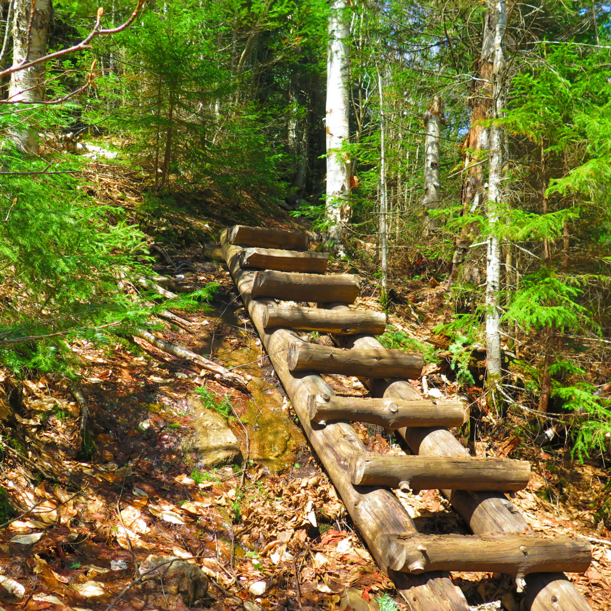
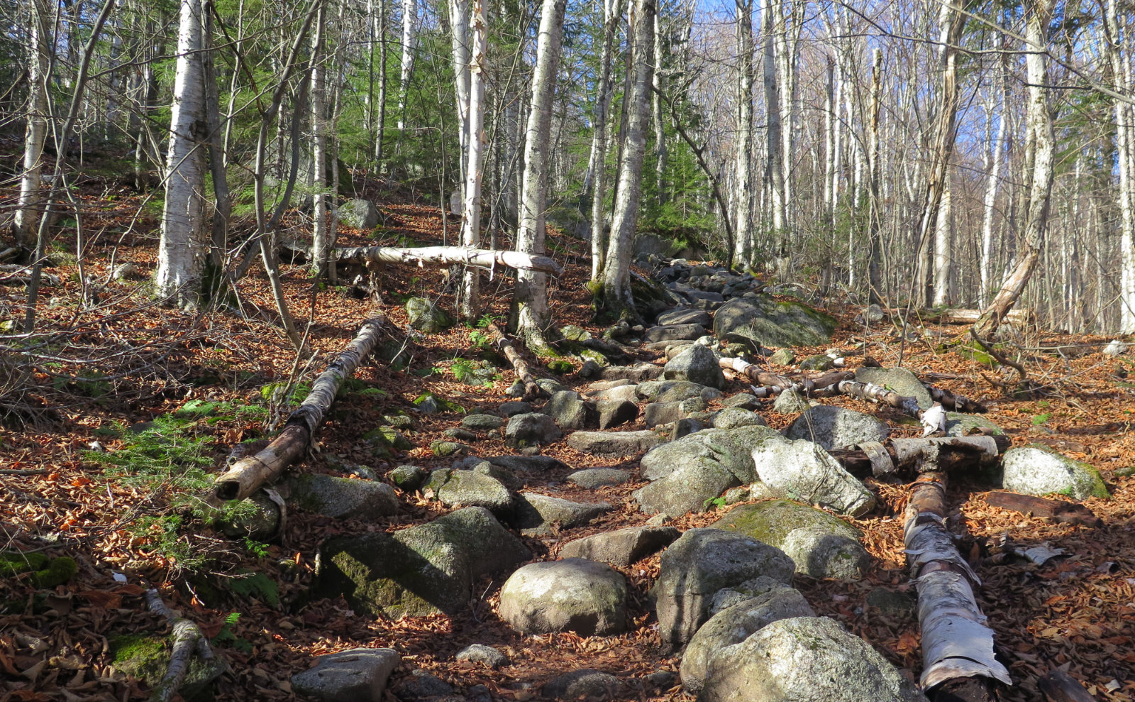
I had a small, but significant victory right off the top: the gate to Gale River Loop Road was still open. There’s a fair chance that will change in the coming days, if it hasn’t already. But at least I was spared the long walk in; and as I’d find out, it would pay dividends later. Heading up the trail, the weather was quite pleasant. A bit cold, but only seasonably so; it felt fresh, and there was some sun to warm things up a little. The trail was flat and unremarkable, except for its width. You could plainly see the former logging road. With the fallen leaves on the ground, the light was golden-hued, things looked a bit magical. Peaceful. Serene. I live for moments like this.
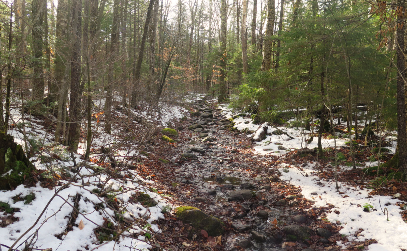
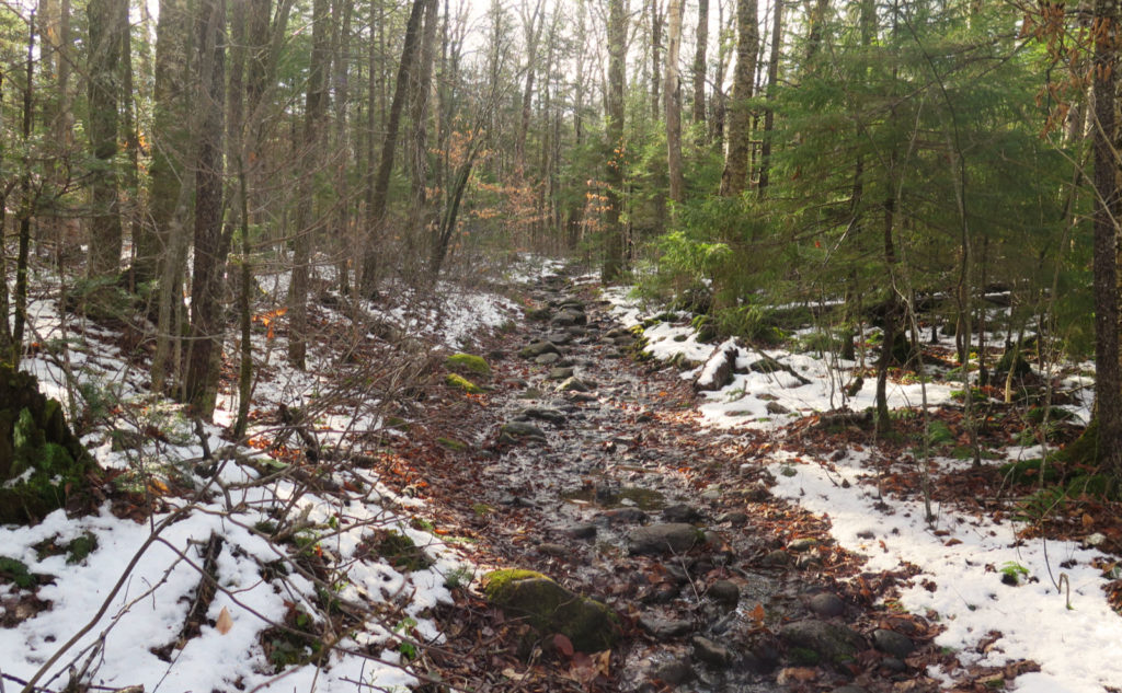
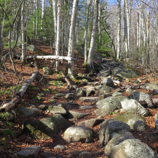
But all good things come to an end. After about a mile, the trail got rocky and rooty, and I got slowed down a lot. I was given to reflect on the trail’s character, and how the shortest route from the hut is typically the nicest. And yet, it wasn’t long before the trail got muddy. We all know what “muddy” can mean: a few sprinkles on the trail may make it a little greasy. A quick pop-up squall can make a few puddles. Spring melt can make things where losing a shoe is easy. And so on. I was slugging through the worst of it, and after awhile, “will it ever end” was a constant refrain in my head. I’m convinced that the dry parts of the trail were vastly outnumbered by the mud puddles.
Things unpleasant become harder.
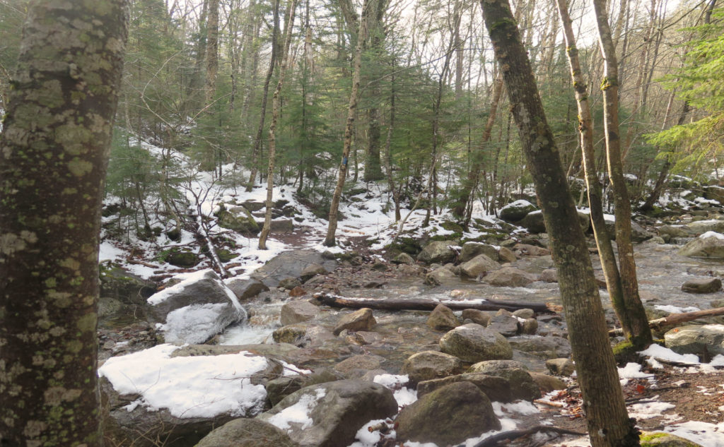
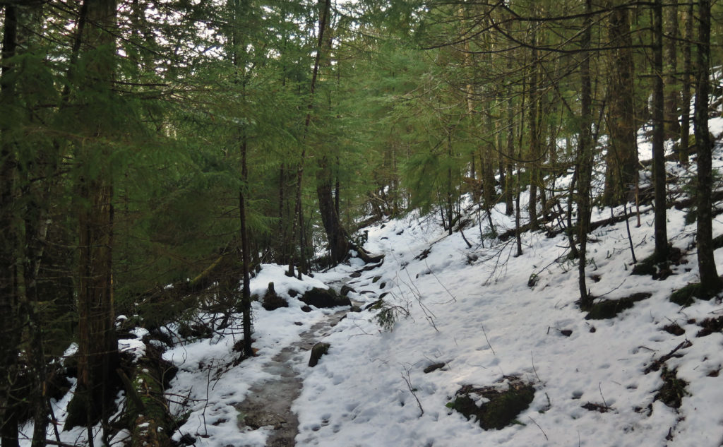
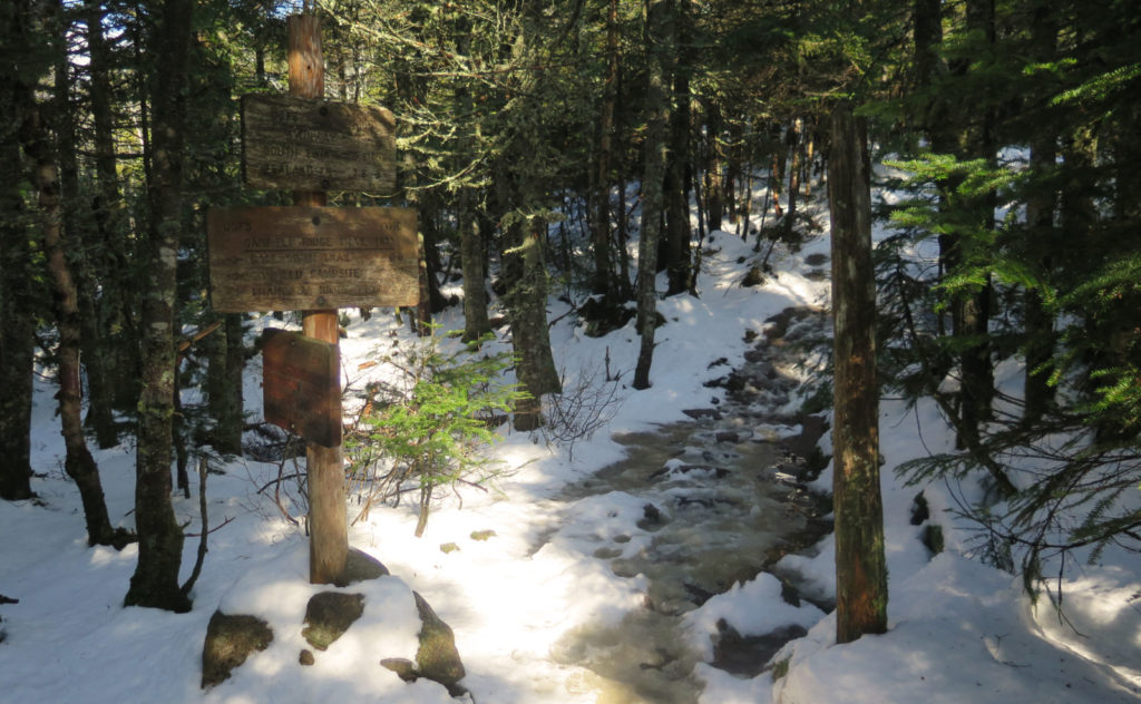
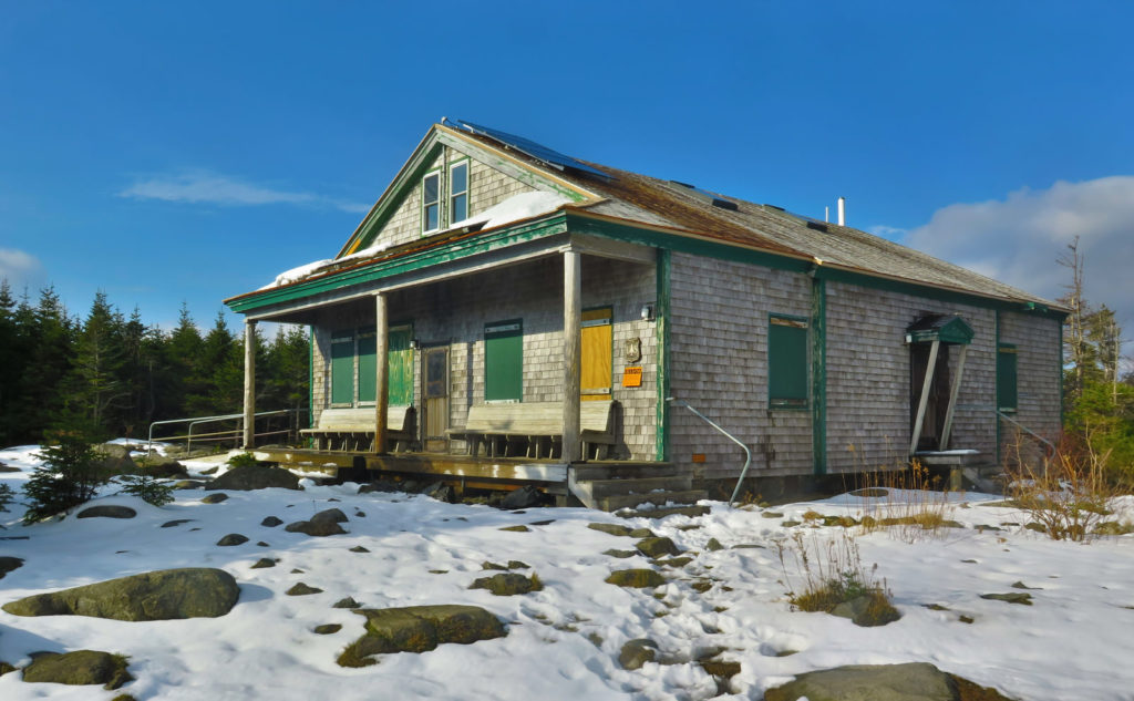
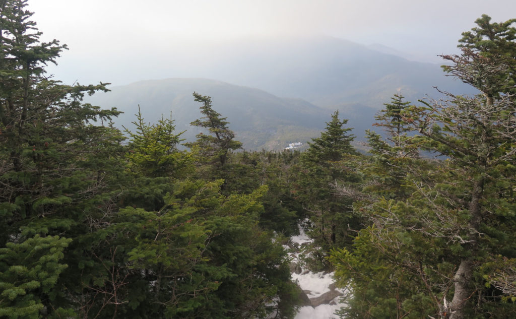
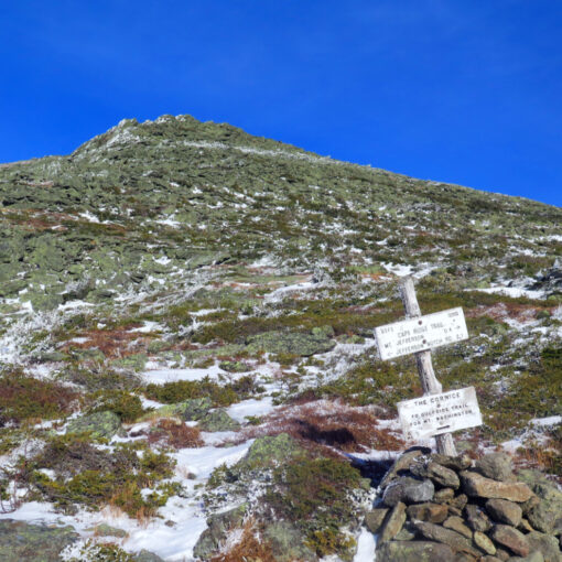
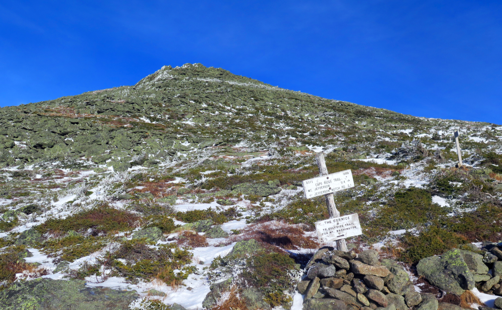
The trail pitched upward. Oh good, the mud will abate, I thought. Not so much, as I promptly learned. Snow that was occasional, on the sides, and in patches at best, became more solid, thicker, and far less occasional. The mud remained a constant. Worse, it was quite warm, so the snow that was on the trail presented as slush. I gritted my teeth and persisted, keeping my goal in mind. Before completely losing hope, the signpost marking my arrival on Garfield Ridge appeared, and not a moment too soon! Huzzah! From there, it wasn’t a terrible slog to the hut. Sun shone through the trees, warming my soul, making me eager to push through. I took a very long moment to gaze out, to restore. The view is a bit like looking through a keyhole, but still, these moments calm the soul.
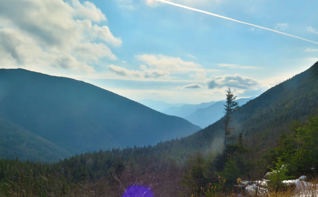
I remember looking at the weather, seeing a pair of cloudy lines across the map, with a gulf in-between, and in that gulf sat the hut. I enjoyed some sun, a sliver of blue sky, and warmth. Looking across to the south, a magnificent view. If nothing else, that was my victory. With the sun on my face, even more so. I enjoyed the moment, knowing the climb in front of me was a few scant yards away. But sunset was approaching, and so I pressed on.
They say the toughest mile of the AT is in Mahoosuc Notch.
I’ve hiked that mile. I actually had fun doing so. I won’t say the 0.8 miles from the hut to South Twin’s summit is “worse”, because that argument ventures into “which is your favorite child” territory. For sure, it’s spirited, and in contrast to the notch, it’s straightforward. Anyone is right when they say it’s among the hardest climbs, because in that distance, you’re looking at significantly more than 1,000 feet of elevation gain, and the worst of it is pretty hardcore, and for a substantial part of the way.
But balance that with other hard climbs. Just off the cuff, hike up Wildcat Ridge trail… you’re not even at Wildcat E, and it’s already got you climbing hand over foot. And shall we discuss the north slide on Tripyramid? Blueberry Ledge? Huntington Ravine?
This day, it was hard, and especially so. Remember the slush? The snow? It was much deeper, especially as I ascended. Temperatures fall for every rise in altitude — they say you can expect a 3-5 degree fall for every 1,000 feet in altitude. So as I ascended, the snow became thicker. But it was still above freezing despite the altitude change, so there was still a lot of slush. Annoying! I was burning through resolve at an astonishing rate.
But then, after the big push, the reward
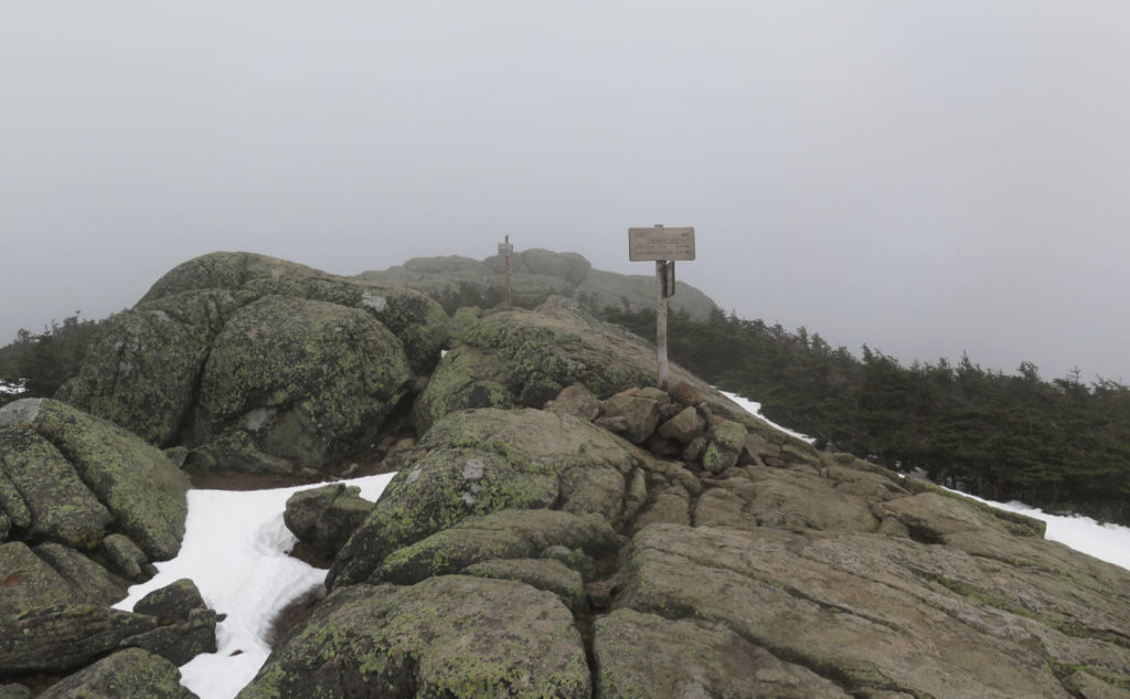
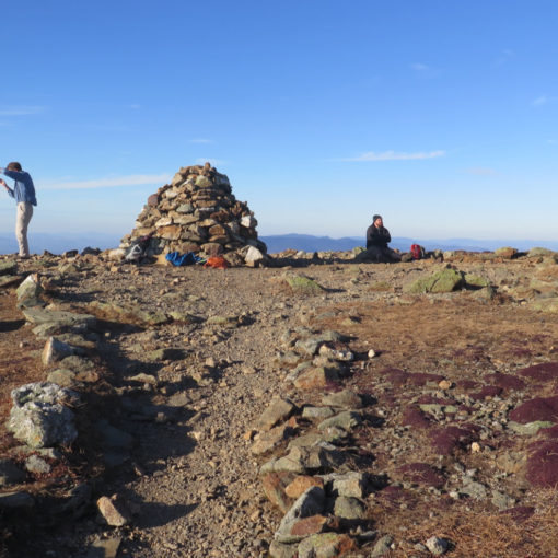
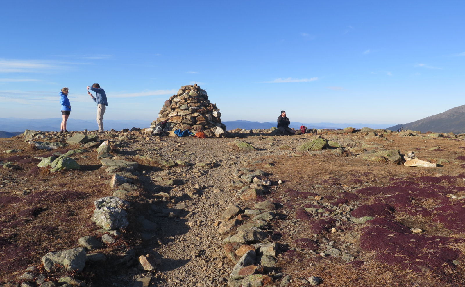
Finally, the trees began looking a bit like krummholz. The taller trees became shorter… closer to my height. I could see light through the trees, indicating the summit was near. Expectation. I pushed hard, knowing I was almost there. And then, the hole in the trees, and a whole lotta rocks. Breaking through onto the summit, it was almost like walking on the moon. I’d been ascending into the clouds all along, and now I was inside the ping-pong ball. Views were stunted, for sure, and it had that otherworldly look. But wow, I live for that. I muddled around, looking at this and that, and then turned back.
Descending, I didn’t even consider nabbing Galehead. Time wasn’t on my side. I opted to race down, hoping to get past the worst of the rocks and roots before darkness fell. I completely failed at that, by the way. There was a certain amount of cursing, but eventually I got to the car, safely.
And that’s when I got a last bit of luck. I headed out, by way of the Garfield trailhead, and as my wheels finally hit pavement on Route 3, the skies opened up. Had I gone up Galehead, I’d have arrived at my car feeling like a drowned rat. Hey, in warmer, drier weather, that hike isn’t terrible. In fact, it’s pretty easy going, and perhaps one of the easier 4,000 footers, actually. I can wait until next November to check that one off the list.
As always, stay safe out there.
Nuts and Bolts: Head up 93, and get off at Exit 35. Drive around route 3 as if you’re headed to Twin Mountain. When you see a trailhead sign on the right, followed by a bridge crossing the Gale River, slow down. Your next left will be Trudeau Road, and there will be a sign for the Town of Bethlehem’s various services. Assuming the gate is closed, which is typical for the snowy months, park. There is a small parking area at the corner with Trudeau Road. Leave your car there, cross the road, and walk more than a mile and a half down the fire road. Note that about a quarter mile down, there’s a split that heads downward to the right. Stay left. About a mile and a half down, you’ll see another split, going hard right. Follow it, and shortly thereafter, you’ll cross a bridge over the Gale River. Just past that is the trailhead. If you’re lucky and the gate isn’t closed, there’s a parking area just beyond the kiosk.
Trailhead will be behind the kiosk, but there’s another entrance from the parking area. Blazes are blue until you hit the junction with the Garfield Ridge Trail, which is the Appalachian Trail. At that point, until the hut, blazes are white as they normally are on the AT. Entrance to the Twinway is pretty obvious, and the blazes remain white.
Should you decide to bag Galehead, the Frost trail, logically, should be blue, but there isn’t much need for blazes on that trail. Just make sure you don’t go down 13 Falls trail and you’re sure to hit the summit in short order.
If you enjoy reading these posts, please subscribe — stay in the loop! Your email will only be used to alert you of new posts — typically 1-2 times per week. I will not use or share your email for any other purpose without your express permission. And feel free to share via social media using the buttons below.
Find me in the mountains, on this blog, or on Twitter: @Protean_Hiker

4 thoughts on “Trip Report: Is South Twin from Galehead as hard as I remember?”