Harder than it looks. But wow, the rewards keep coming.
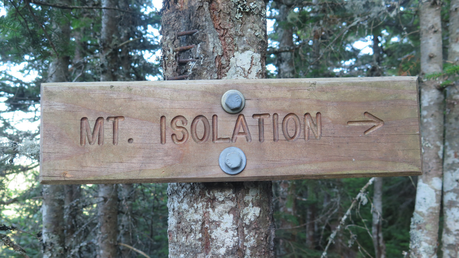
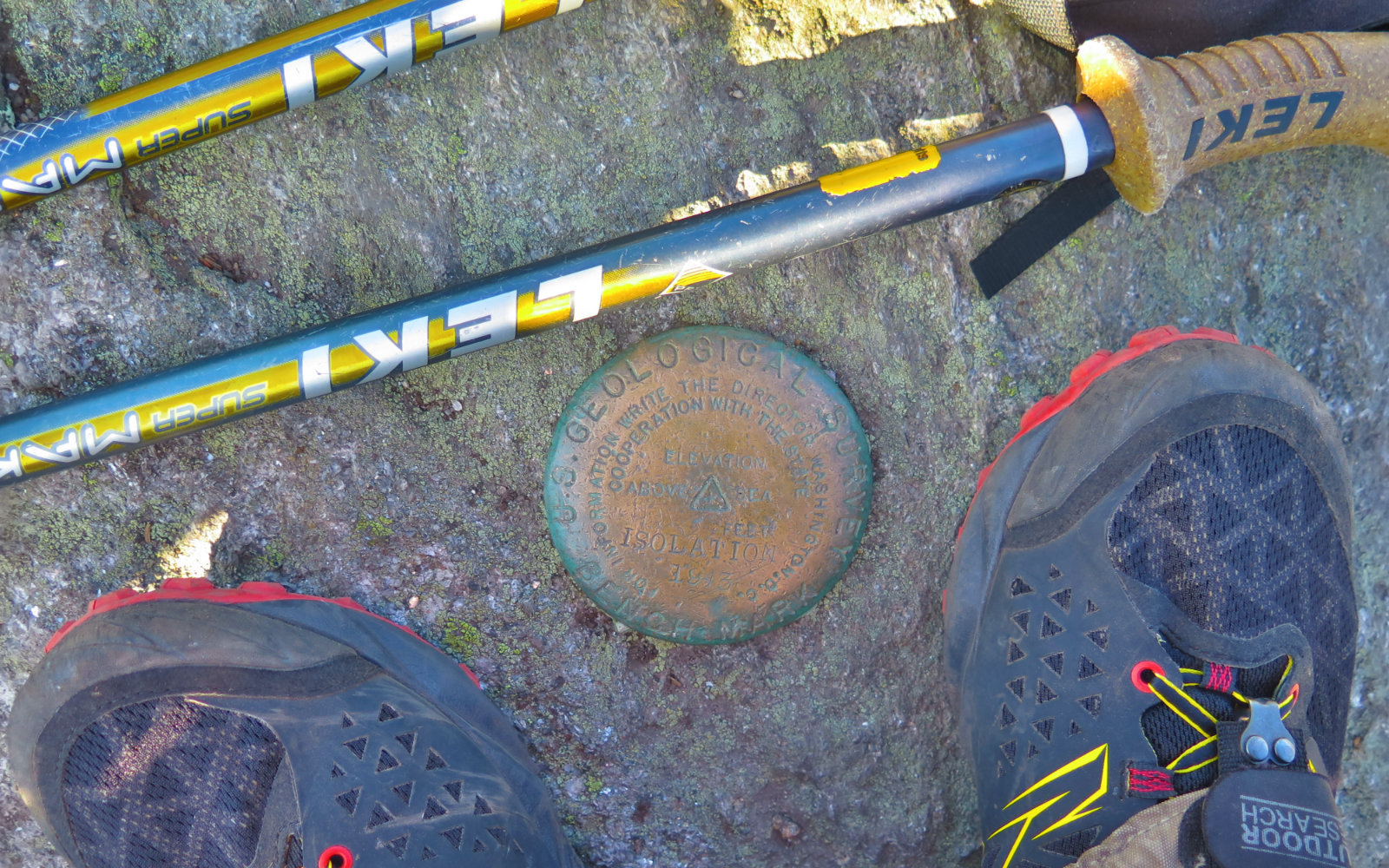
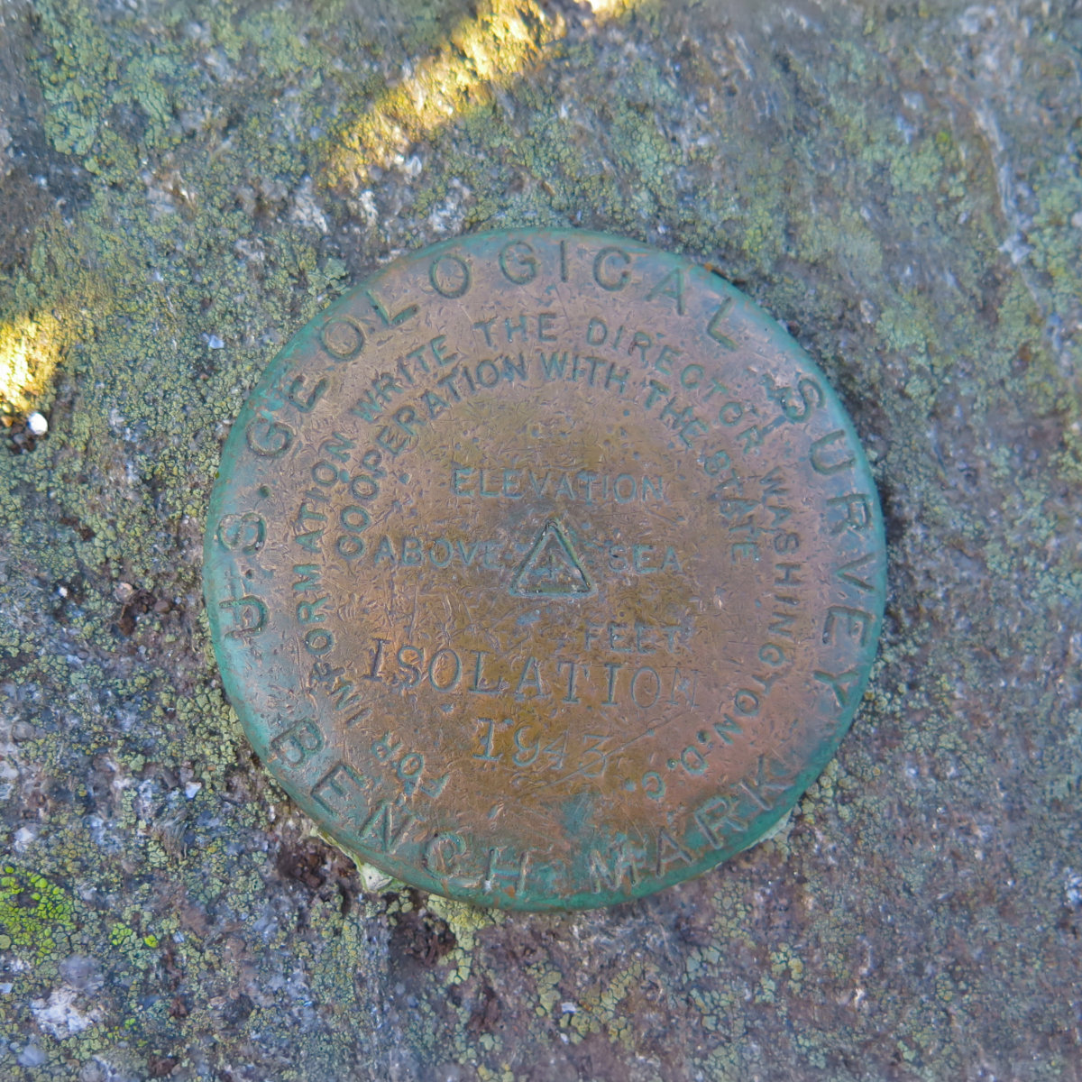
Mt Isolation (4,003 feet) Pinkham’s Grant, NH. 2019-08-05. (Monday)
Via Glen Boulder Trail, Davis Path, Isolation trail, and Rocky Branch Trail. Approx 12.2 miles. Total elevation gain approx 4,000 feet.
75 dF +/- at the trailhead, 55 dF back at the car, with negligible winds.
Mostly sunny.
Trailhead: 1310; Glen Boulder: 1450; Summit: 1800; back at car: 2310. (10 hours.)
Don’t let the short-ish mileage fool you. This isn’t the shortest hike, but it’s not like heading out to Bondcliff. And yet, there are few places in the Whites I can think of where mileage is so difficult. I don’t think there’s anywhere in particular where I’d say “this bit is really hard” in terms of technicalities. It’s just moderate difficulty that keeps coming at you, combined with some short strenuous bits and a lot of fast elevation gain. If I were counseling a hiker new to the Whites, I’d suggest this one as something to do at least 15-20 peaks into a NH48 list.
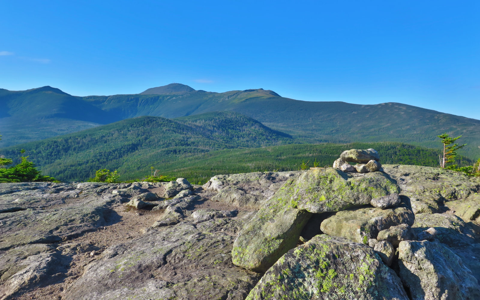
But it was a bluebird day, and Isolation occupies a really neat spot. I didn’t have the all-encompassing views that I had the other day on Carrigain. But at the foot of Washington, you have magnificent views of the mountain’s southern side — Oakes Gulf right there before you, which is a sight almost anyone with a “This Car Climbed Mt Washington” sticker won’t ever know. The cost of admission is some tough hiking, but wow, that view.
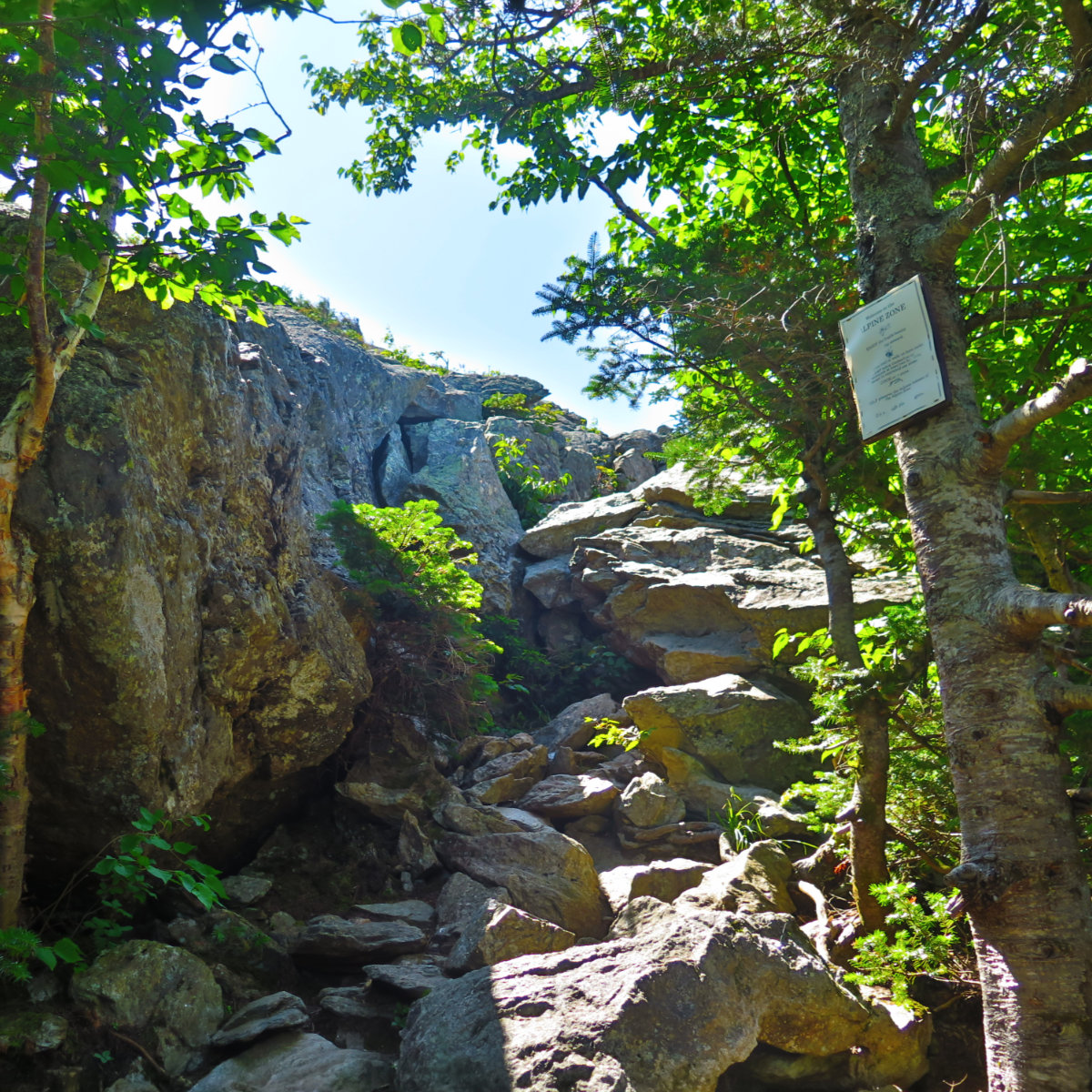
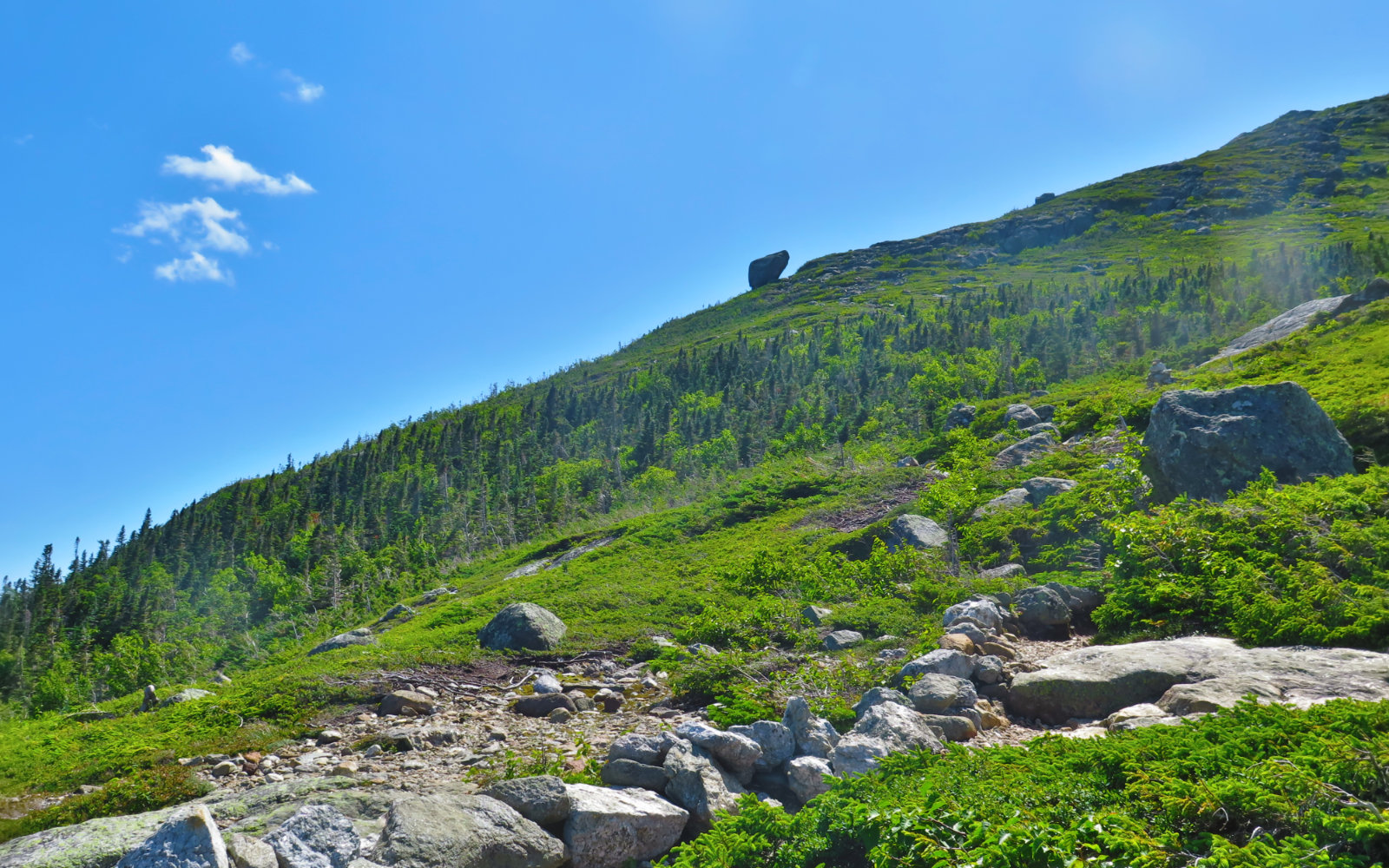
Starting out, the trail seemed about as rock strewn as so many others. Ascending moderately, I made decent time. But then the trail steepened. Fast. The climb up to Glen Ellis boulder was swift, and very rocky. No question, I was heading up. The breathtaking nature of driving through Crawford Notch is the way the mountains just tower overhead, and there’s only one way to get that. And then, looking up, I saw a lot of blue sky behind that steep, rocky trail, and a sign mounted on an adjacent tree, advising that I was about to enter an alpine zone.
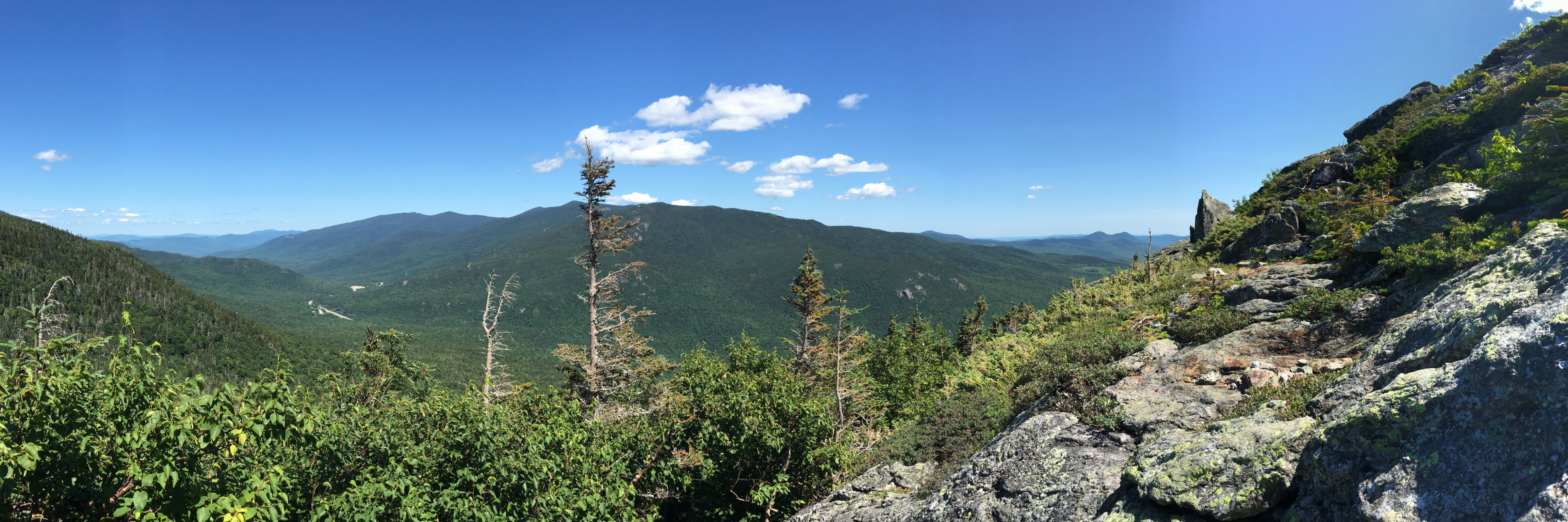
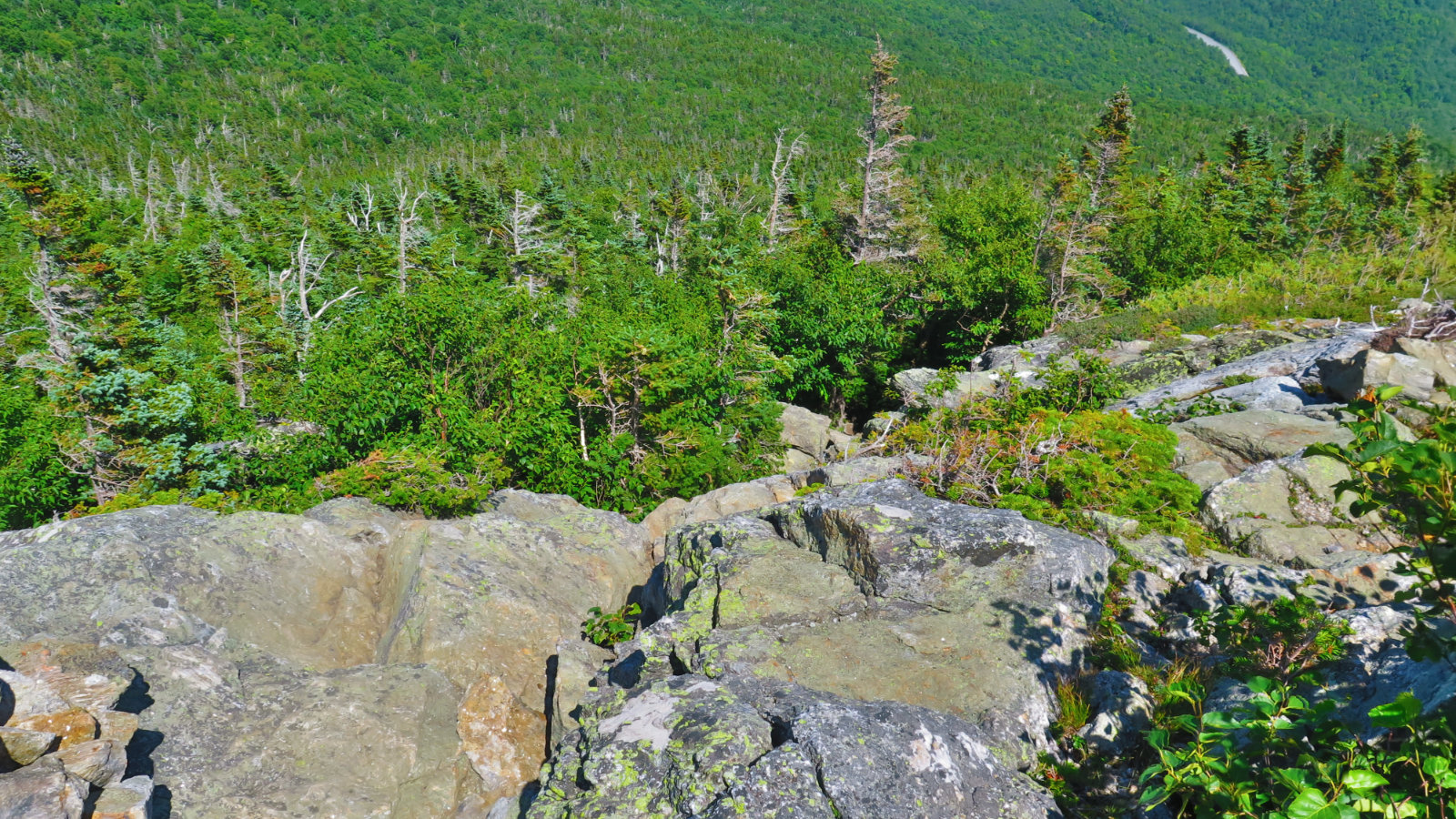
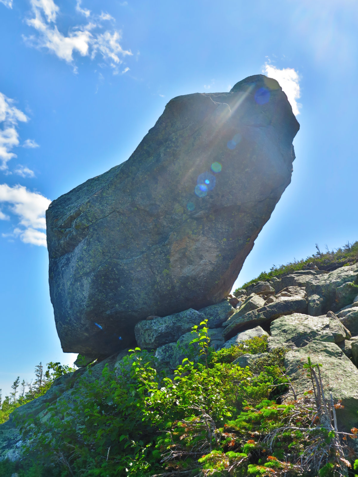
I emerged above the trees, and was floored by a panorama that included the Wildcat range and the Carters. I looked across, contemplating the Appalachian Trail that ran across that ridge, and recalled the cold, cloudy, yet fun afternoon with three thru hikers just a few months ago. Continuing on up a steep, exposed trail, it was just a few minutes more before the Glen Ellis boulder was before me. Just thinking of the havoc it would create were it to be loosed from its lofty perch was humbling: this is not a small stone.
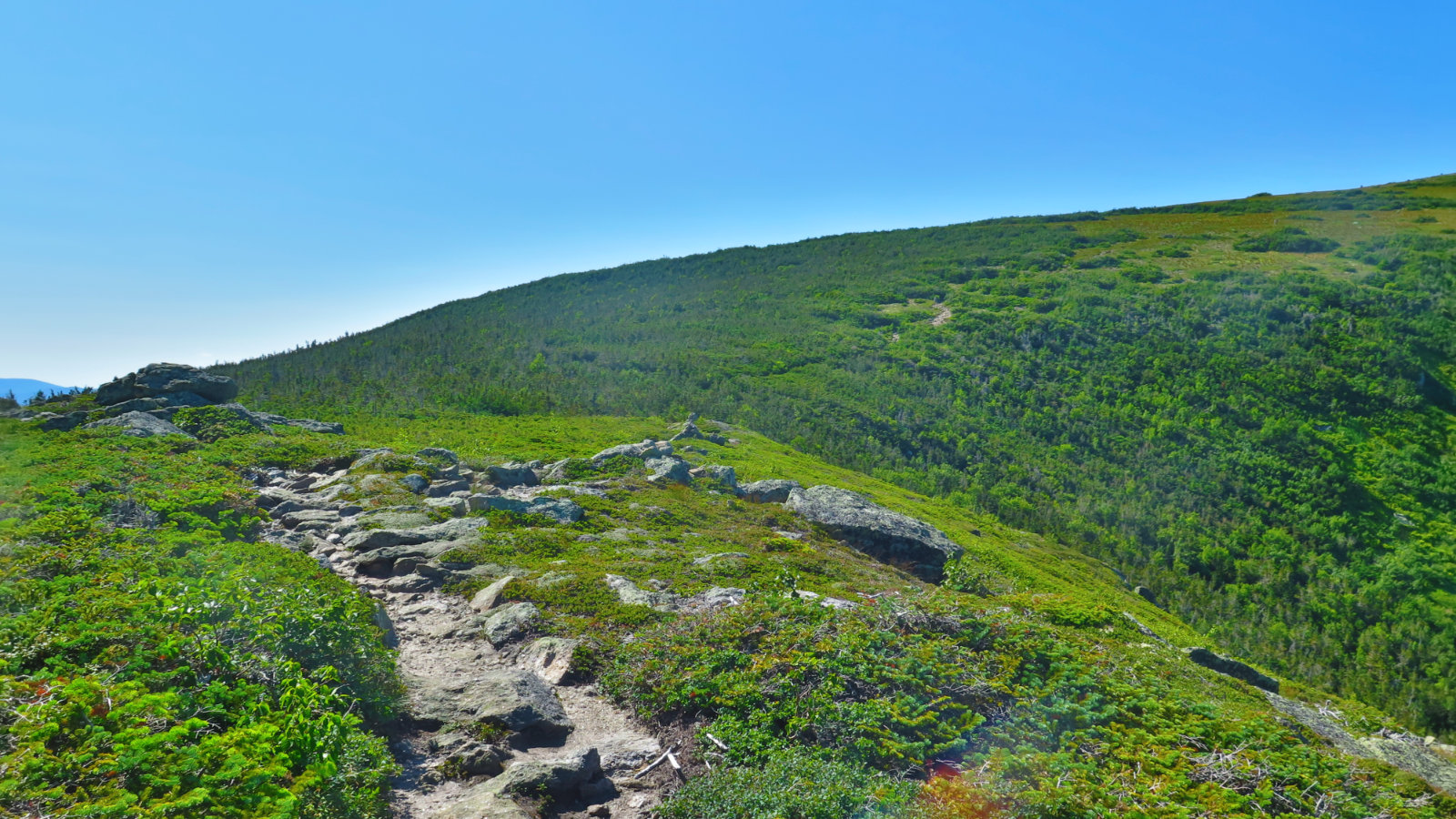
I pressed onward and made it to the top of Slide Peak, so named because yep, that’s the Gulf of Slides right there below my feet. Not surprisingly, we were more than 1,000 feet above Isolation’s short summit — for an afternoon hike, this is as worthwhile a goal as any, and continuing along Boott Spur trail, would make a nice loop back to the car. (You’d add a walk down the Diretissima at the end. Thinking about it a little more, this might make a fine, perhaps a bit long, but very scenic route to and from Isolation.) Old Speck, North and South Baldface, Nelson Crag… the views were limitless.
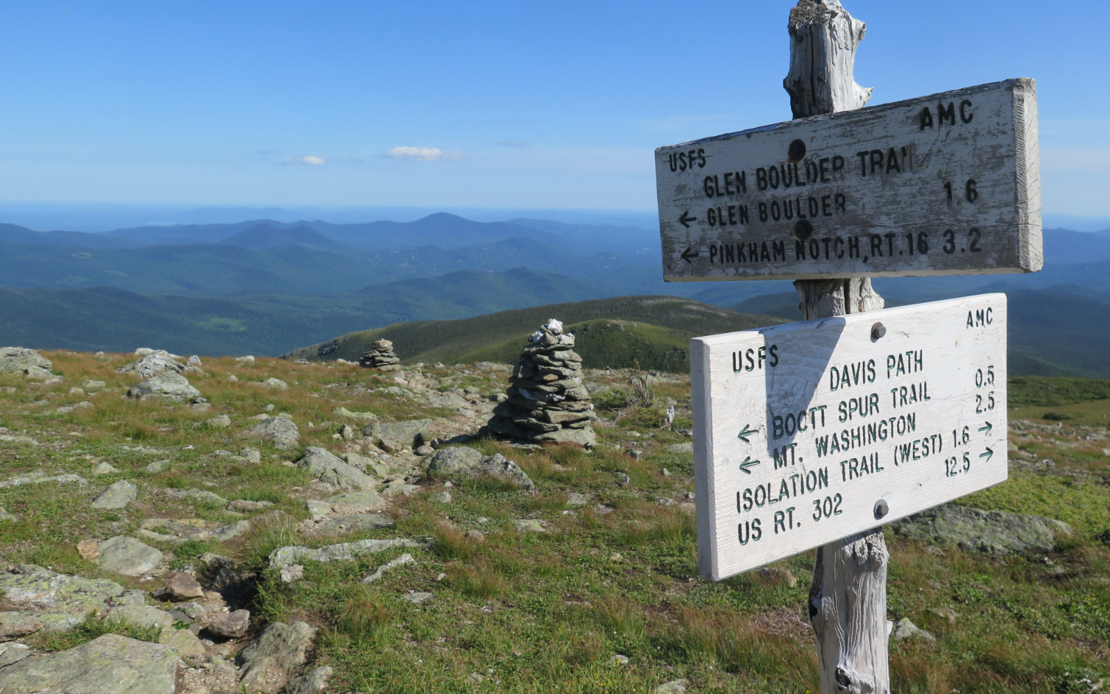
It was around here that I came across a hiker on his way down. Fairly new at doing the 48, he’d decided to turn around early. But after sharing some thoughts, he had a change of heart, and we joined forces. As I found out last year, doing Owl’s Head, sometimes having a companion makes the difference. It was one of the easier parts of the trail to get from there, across the ridge, and then to the junction with the Davis Path, where we turned left, and continued downhill on fairly easy footing with stellar views before us.
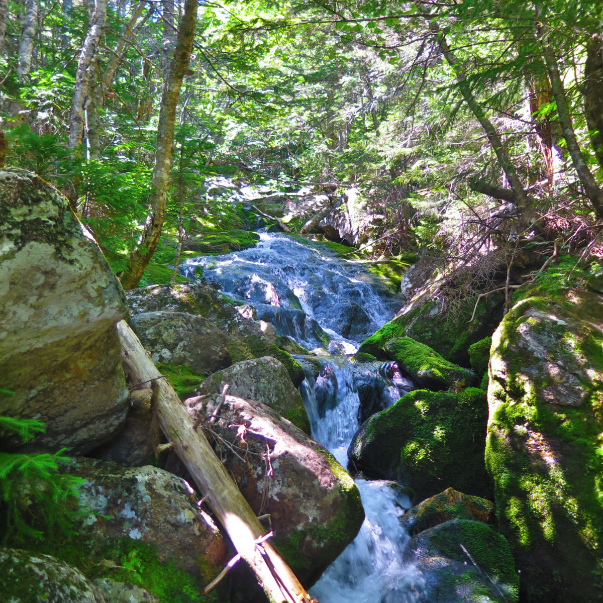
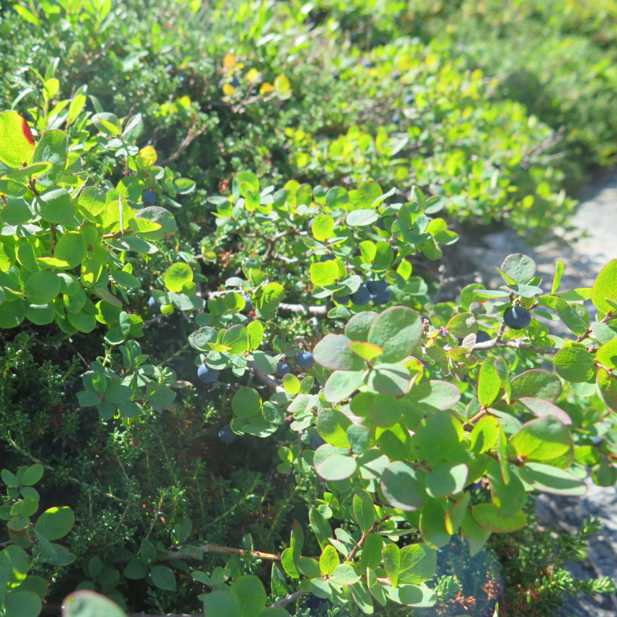
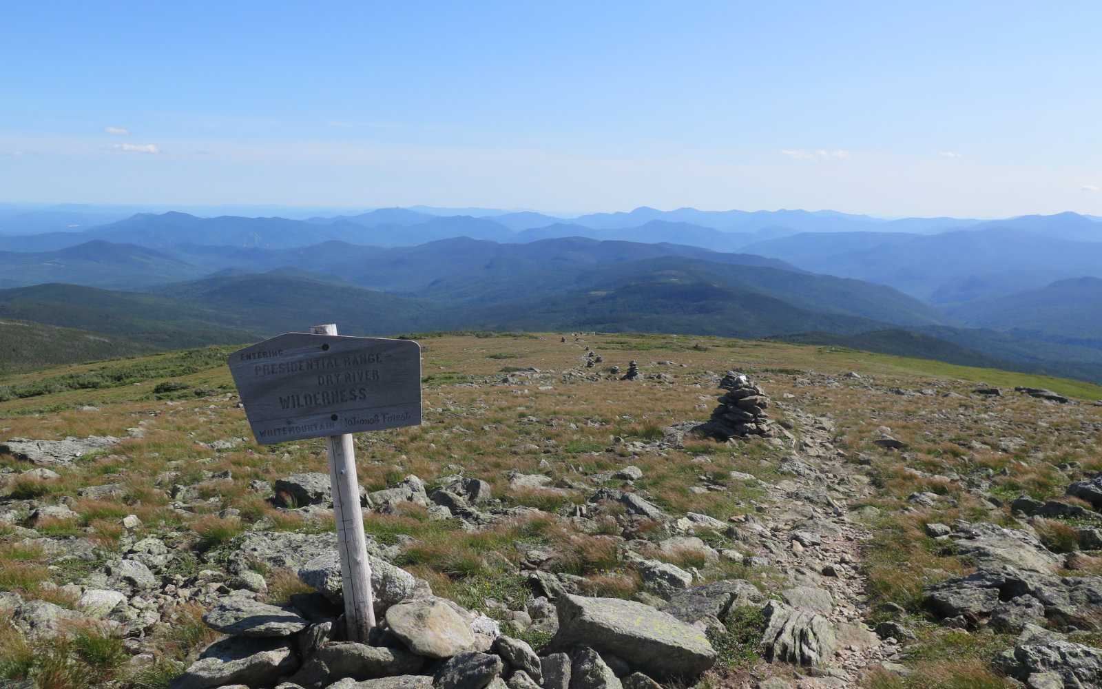
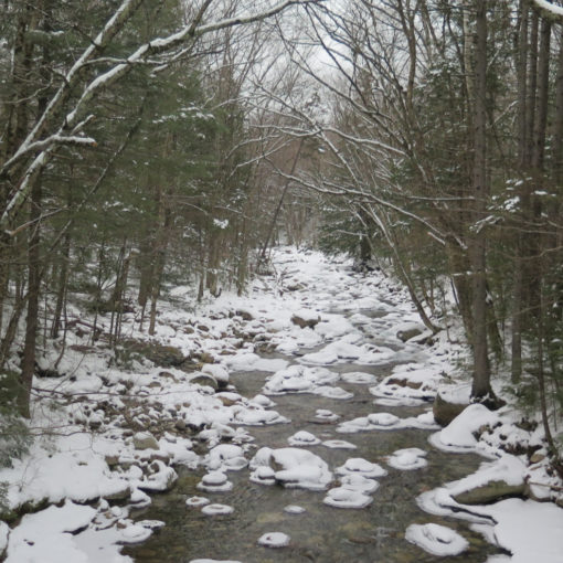
Quickly re-entering the trees, crossing occasional mud puddles and passing through small patches of fir waves, the trail felt comforting with its characteristic explosive green growth. There were mosses, ferns, and young tree growth everywhere. So much potential, waiting for its moment. Crossing the Isolation Trail, I contemplated the time last springtime when I struggled to find the way forward. Hopefully it would be easier this time.
A hiker emerged, and as it turned out, he was a 2017 AT alum. He assured us that the summit was close at hand. We chatted for a bit, and then continued on. The spur trail to the summit on our right, and a quick few hundred feet later… we arrived. Isolation is unusual among the shortest of the four thousand footers in having such a bald summit as it has. We were afforded magnificent views, and my companion felt vindicated in changing his mind. After the obligatory photos, we turned for the trailhead.
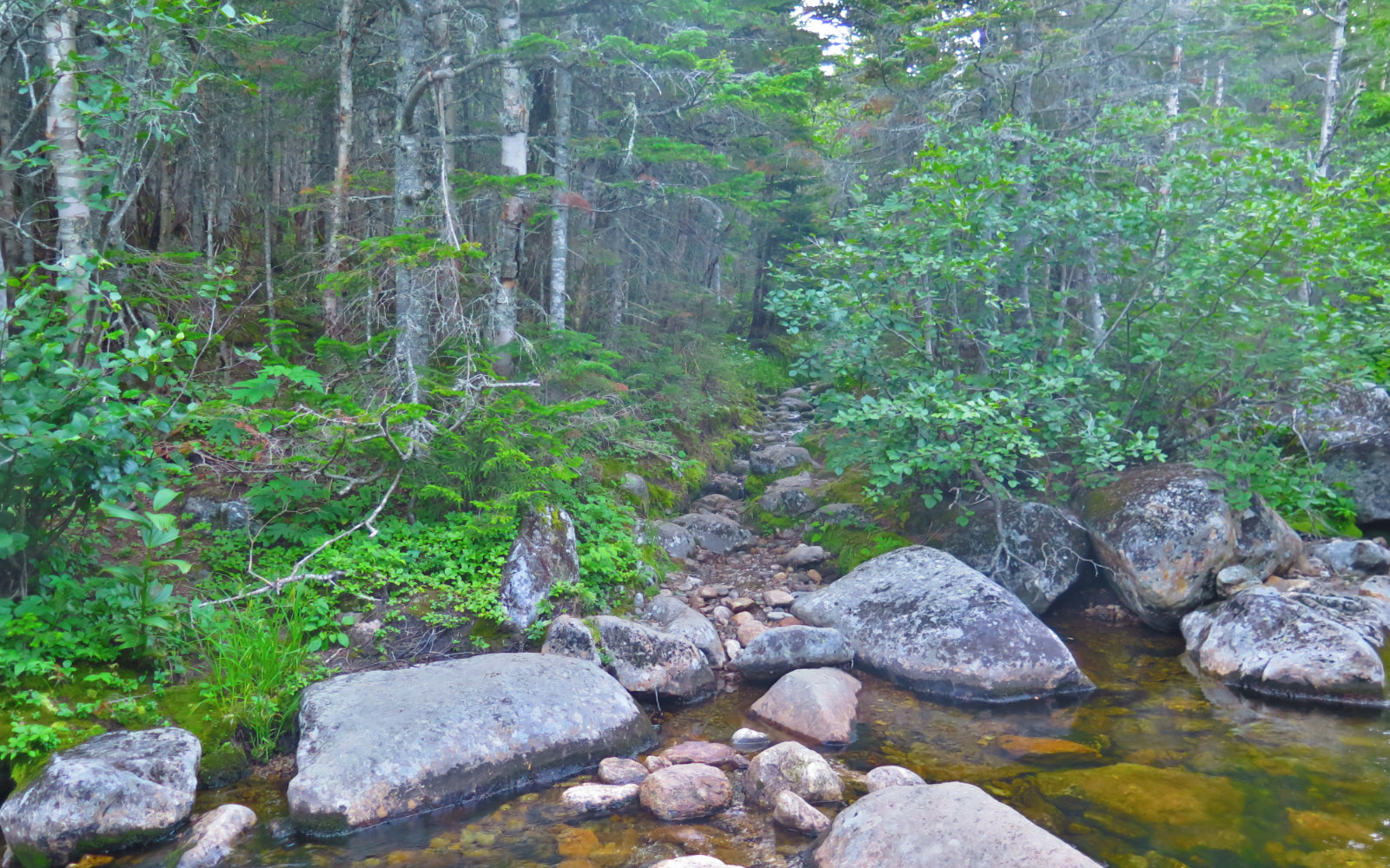
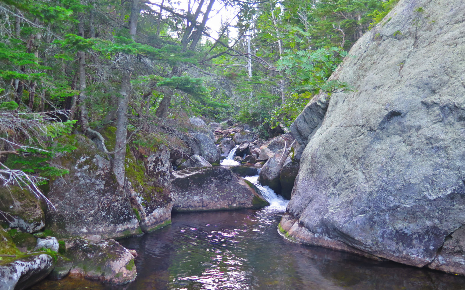
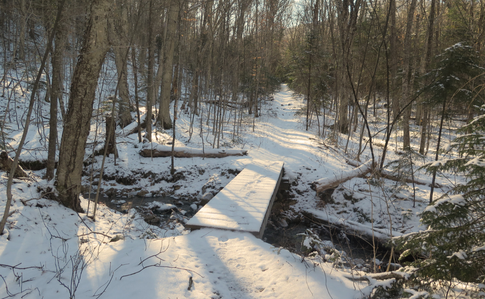
At the Isolation Trail junction, we decided to take that option, knowing it would be a road-walk back to the car, but deciding that, due to the late hour, it was preferable to deal with that trail than trying to clamber down the steep, exposed section of the Glen Boulder Trail in the dark. I’ll never know for sure, but it still feels like a smart choice. We weren’t far down before we came across that AT hiker again, who’d decided to set camp for the night off the side of the trail. We stopped for a bit, and chatted about hiking. He filled my head with all sorts of advice and anecdotes about the AT before giving us a few thoughts on finishing our current hikes — he assured us that we’d make it down fine, and for the most part, that we’d keep our feet dry. He was mostly right. The first half or so was fairly straightforward, with some lengthy rock-hops and a good bit of crossing some deep mud and muck. And then, we got to the Rocky Branch itself. Just as real darkness was taking over. Oh goody. Time to break out the headlamp.
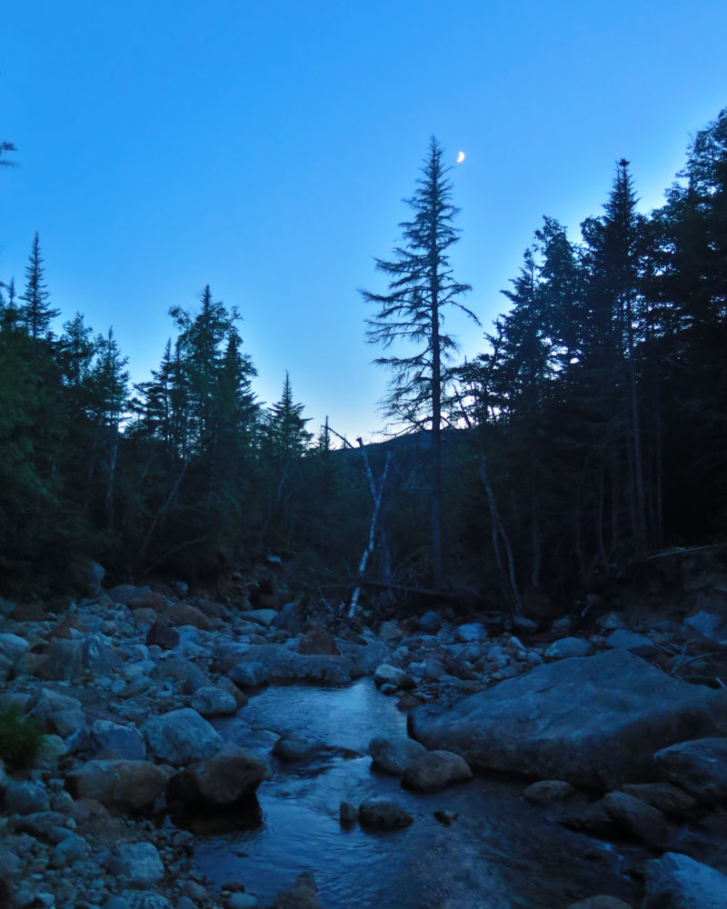
At some point, I’m going to make peace with that stretch of trail, but in the dark wasn’t that time. There was a lot of looking for the trail, bushwhacking, backtracking, and so on. It made me wish I’d started a couple hours earlier, because the darkness wasn’t my friend. But ultimately, we prevailed, and found the Rocky Branch Trail. The way going wasn’t fantastic, but we were on a trail, which meant no more ambiguity, no bushwhacking, no wondering if we were going the right way. The descent was continual, which was reassuring, even if the way going was slowed by less than amazing footing — at one point, I stepped in some mud and my foot disappeared to my ankle. Yuck! The trail up Cabot, with its nice and smooth surface paved with leaf litter… yeah, this isn’t that trail.
But then we were at the trailhead and standing in the middle of the parking lot, I looked up and was instantly awed by a limitless array of bright stars above. That view is yet another in the Whites that never gets old. We headed back up the highway to our cars, and as luck would have it, a trail angel stopped and gave us a ride. It capped a strenuous day, but one that had all kinds of magic sprinkled throughout.
On the one hand, Isolation is isolated. On the other, it’s really not that many miles from any nearby trailhead. But at the same time, being surrounded by ridges, and with only Mt Washington’s antennas as evidence of man-made structures on the horizon, sitting on that summit does make you feel like you’re in another, special place.
Nuts and Bolts: Glen Ellis trailhead is easy to find, being on the right, just under a mile past the AMC Pinkham Notch visitor center. From Gorham, it’s about a 15 minute drive south on Route 16 after you turn off of US Route 2. Look for a standard brown USFS trailhead sign. There’s parking for a couple dozen cars, but note that the lot is shared with the walk to Glen Ellis Falls — in clement weather, you might be competing for a spot with tourists more than hikers. The trailhead itself is on the south side of the parking area, just past the toilets.
If you enjoy reading these posts, consider subscribing. Your email will only be used to alert you of new posts — typically 1-2 times per week. I will not use or share your email for any other purpose without your express permission.
3 thoughts on “Trip Report: Mt Isolation (Summer ’19)”