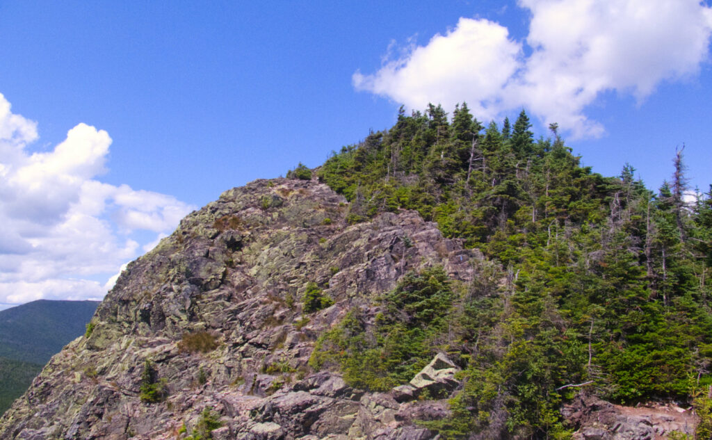
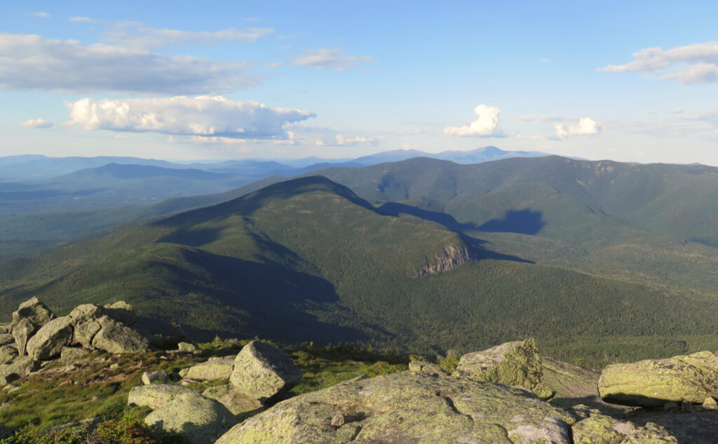
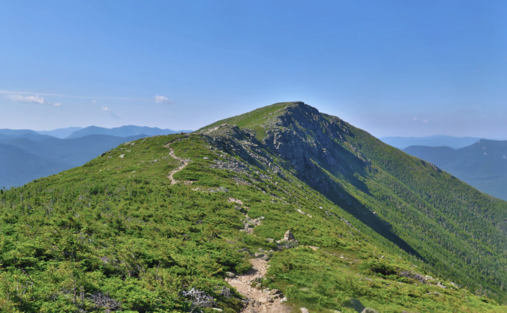
Mt Flume, Mt Liberty, Mt Lincoln, Mt Lafayette, Mt Garfield. 2022-07-15 (Friday.)
Galehead, South Twin, North Twin, Zealand Mountains. 2022-07-16 (Saturday.)
Mt Guyot, West Bond Mountain, Mt Bond, Bondcliff. 2022-07-17 (Sunday.)
Via Lincoln Woods Trail, Osseo Trail, Franconia Ridge Trail, Garfield Ridge Trail, Frost Trail, Twinway, North Twin Spur, Zealand Spur, Bondcliff Trail, West Bond Spur, Wilderness Trail, Pemi East Side Trail.
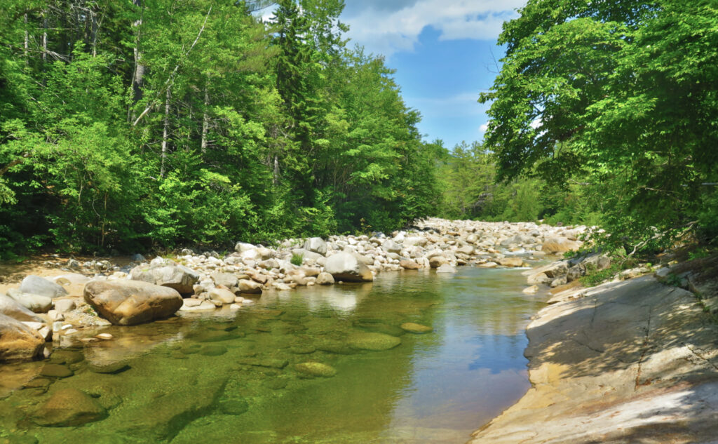
Approximately 40 miles in total. This includes the spur trails to the Garfield and Guyot campsites, and the out-and-back mileage of North Twin and Zealand. It also includes an unmaintained stretch of abandoned logging railway bed spanning the gap between the Bondcliff Trail and the Wilderness Trail.
Over 11,000 feet of cumulative elevation gain. Several sections include rocky ascents or descents at rates at or near 1,000 feet of elevation change per mile.
Daily temps of 70s in the mornings and afternoons, to 80s in the midday hours, coming down to the 40s and 50s at night. Pleasant breezes throughout each day. Endless stars on Friday night. Mainly sunny, with a hazy overcast on Saturday. Somewhat humid: socks didn’t really dry out overnight. Meh.
Trailhead: 1100. Garfield campsite: 2030. Back on trail Saturday: 0800. Guyot campsite: 1830. Back on trail Sunday: 0745. Car: 1515.
Loop the Pemi, Cross the Pemi.
Home after a three day trip, I’m both exhausted and pretty jazzed. In contrast to the others, the hike out wasn’t the worst part of the trip, only that which was inevitable, and in a zen way, acceptable. That said, I saw a lot, experienced a lot, suffered a lot, and learned a lot. Not surprisingly, the logistics and execution of a backpacking trip has remarkable differences to that of a day trip. Blowing things out on day one (those are by far the hardest miles of them all) will be especially felt on day three.
Keeping with July’s apparent theme of duplicating efforts, in terms of my Grid, this outing was wholly unnecessary. I had the fortunate circumstance of a five-day “weekend” at work (my schedule varies with the wind) and in no small amount, needed to de-stress. When the weather gods smile with three days of sunshine, the choice of what to do is obvious. Being without reliable cell coverage in all that time? A very priceless add-on. And so, for this outing, the Grid list sat idle. Oddly, as I review my haul of photos, even that seemed to be an entirely secondary motive. I just needed to be outside, on the trail, away from all the things for awhile.
As is my typical modus operandi, a late start was… just how I shuffled out the door. On the one hand, this had the effect of providing me with few other people on the summits (and oddly, this weekend wasn’t even nearly as packed as one would have thought it should be.) On the other hand, pitching a tent in the dark is a tad annoying. But there it is. After some strenuous climbing to attain the ridge, I was treated to golden afternoon hues on Lincoln and Lafayette, and a glorious sunset as I stood on Garfield. Some things are worth the wait.
I won’t say I made a graceful entrance when I arrived at the Garfield Tentsite. While it isn’t the stair-climb at Guyot, at the same time, there’s some elevation change on that spur trail, and it’s plenty rocky. I was ready for bed, and just staggered that last bit down the spur trail. I made my bed and fell into a sort of slumber. Probably because I was sore and wiped out, but I tossed and turned no small amount that night. The funny thing about sleeping under canvas, though, is that somehow, a little rest does a lot of good. At home, if I slept like that, I’d be stiff and cranky come morning. The forest is unquestionably a balm.
Dawn arises and brings new excitement
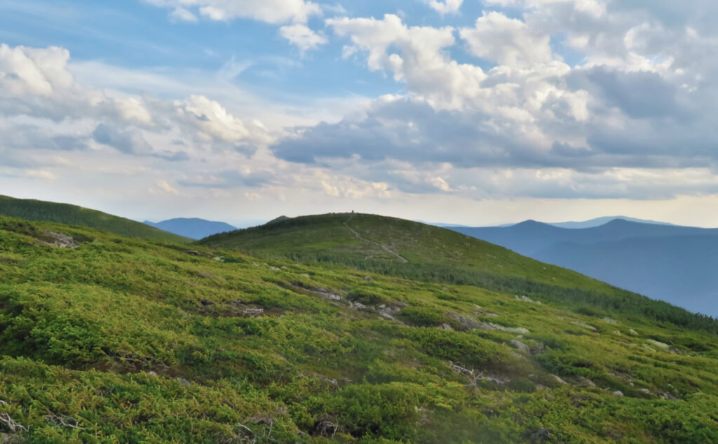
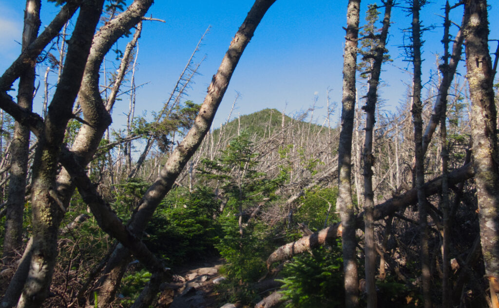
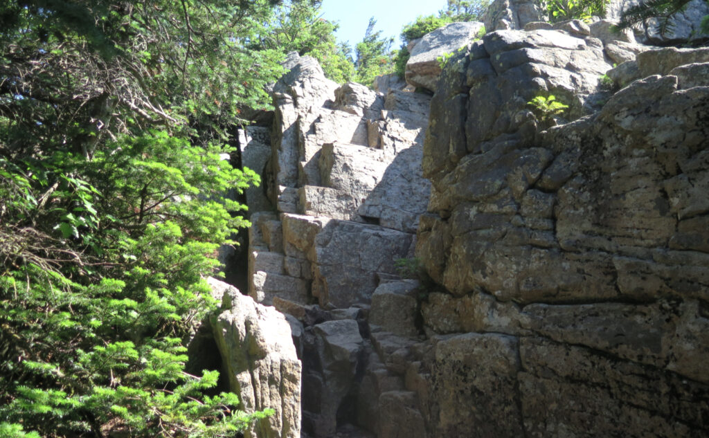
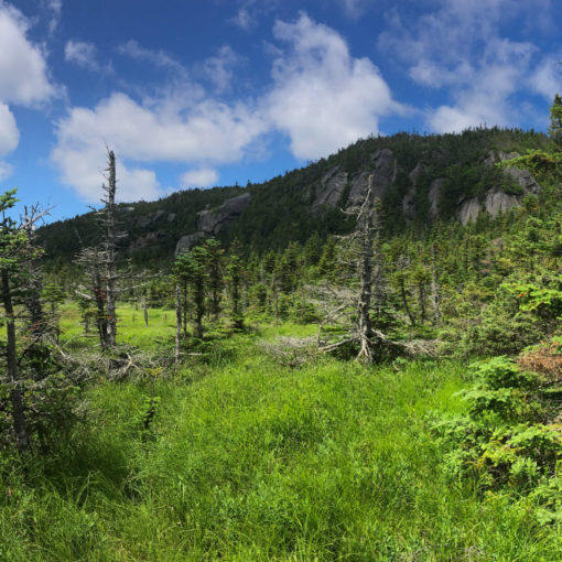
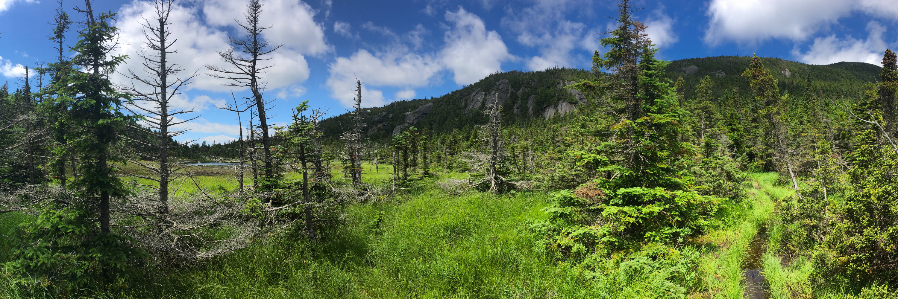
Morning came, and with it, the promise of the new day. Coming down from the tentsite, I was treated to views of the coming peaks. That said, while day one was characterized by the sweeping panoramas as I hiked across Franconia Ridge, day two was much more in the green tunnel. Trading views for the embrace of the trees felt fine, and as much as it’s rough going, hiking down that first rocky, craggy mess that greets you as you leave the tentsite, I think I’ve come to peace with that section of trail. Funny how that happens.
There were as many hard miles on day two as there were on day one. Anyone knows that climbing up to South Twin is a bear. Galehead is short, but still pretty steep. Zealand has the rough terrain crossing Guyot, and much of the rest of the way to its summit. And by the end of the day, the hike to Guyot tentsite features a steep 200 foot descent. I thought a lot about the AT hikers, and why this place has the gritty reputation that it rightfully earned. One told me that his mileage had been halved since entering New Hampshire. Sounds about right.
The sights kept getting better.
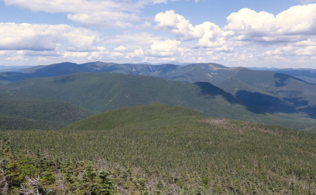
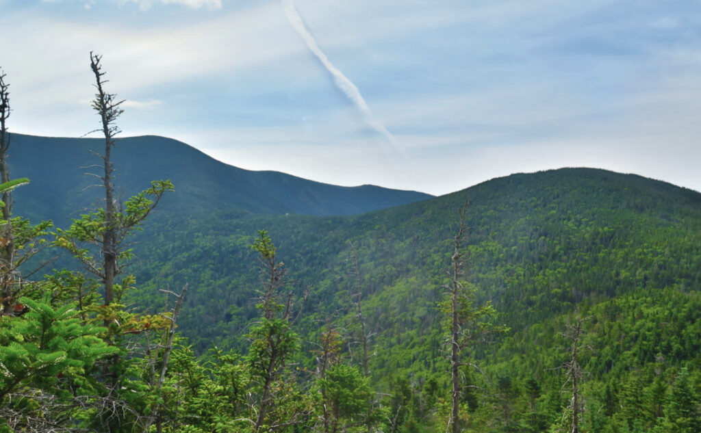
But the views! Oh wow, the views from South Twin were amazing. With my luck in finding clouds, this felt like such a gift, being able to see all around. Through the haze, I could just discern the shadow of Mt Mansfield in Vermont. Washington felt near enough to touch. Later on, while crossing the southern knob of Guyot, the Bonds loomed large. With the other peaks that day, there was a certain amount of time in the green tunnel, but perhaps that made the long views feel more acute.
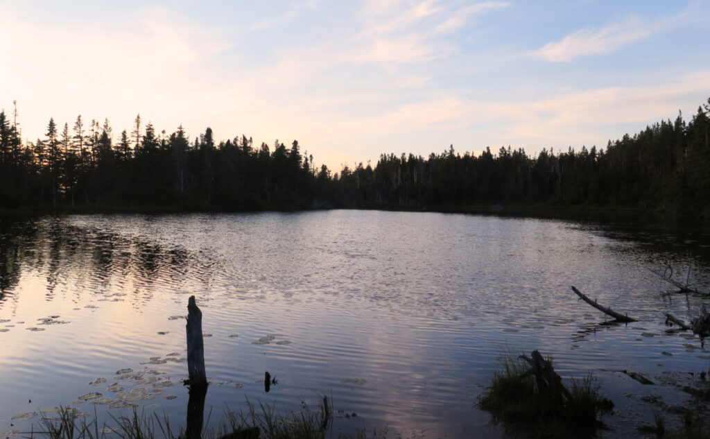
I got to the tentsite with plenty of sun left. In contrast to the previous night, there weren’t any issues setting up camp for the night. I ate dinner, packed my food in the bear box, and crawled into my sleeping bag. Within moments, I was down for the count. It had been a long day stacked on top of a similarly long day, and all that hiking had wiped me out completely. I can’t think of the last time I dropped off so completely. It felt like my eyes were barely closed and I was gone.
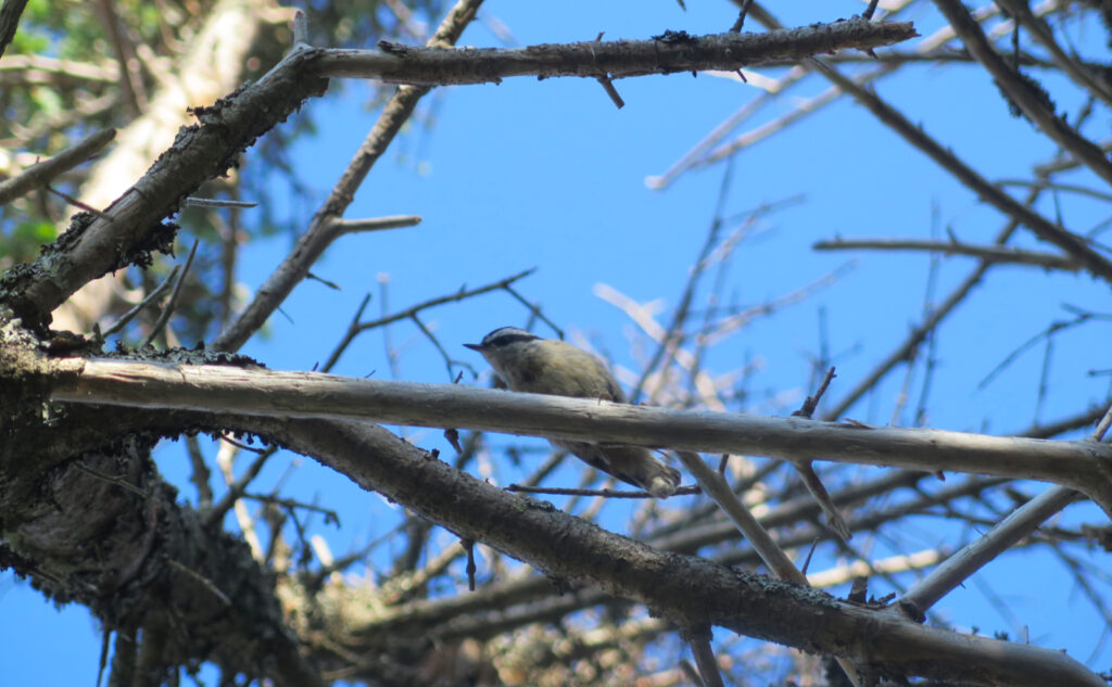
Waking to the sound of birds nattering away
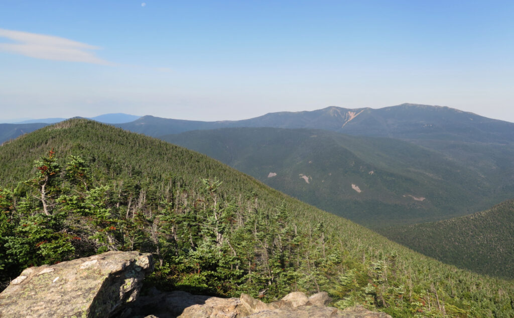
The morning found me waking to the sound of birdsong, probably earlier than I’d have wanted back home. But again with the restful slumber and early mornings, thanks to the forest. I got my morning stuff squared away, struck camp, and headed up to West Bond. I really try not to pick favorites, but yeah, I like this one. For some sublime reason, either I pick the right time, or most people stop at the much more picturesque Bondcliff, or the Twins to the north. But either way, I feel like it’s a peak where I always get some measure of solitude. And yet, it’s right in the middle of things, with superlative panoramic views.
This day didn’t disappoint. I spent a long time looking out, looking down, just reflecting on the totality of it all, with the morning rays spreading golden hues everywhere. The gigantic mass of South Twin occupied most of the northern view. Owl’s Head was visible, but almost enigmatic in the atmospheric haze. Franconia Ridge shone brightly in the morning light, stretching from end to end. The air smelled fresh beyond words. The moment was timeless, and thinking back, it was hard to leave.
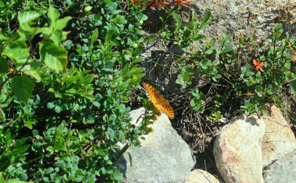
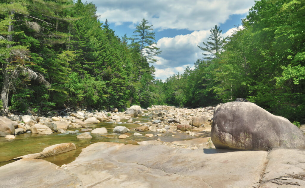
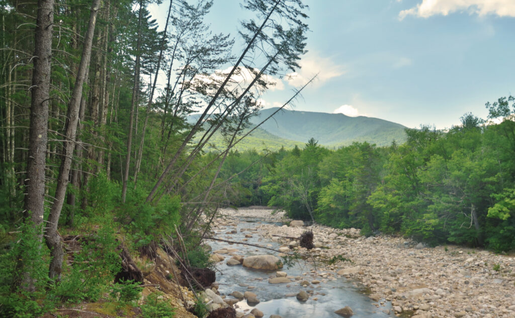
I got to Bondcliff, and yet again, had the summit to myself. Taking time to look around, I reflected on where I’d been and all the things I’d done. It was the last peak on an ambitious agenda. I felt like I’d checked all the boxes, and now it was time to head home. There was no real melancholy about this, just a matter-of-factness. And in truth, I looked forward to hiking down the Bondcliff Trail, and seeing some of the old railway artifacts from those days before people came to their senses and protected these mountains. I’m given to wonder if all those timber barons would have acted differently if they knew how well the economy does, in a world where people line up to see unfettered wilderness.
Never enough exploring
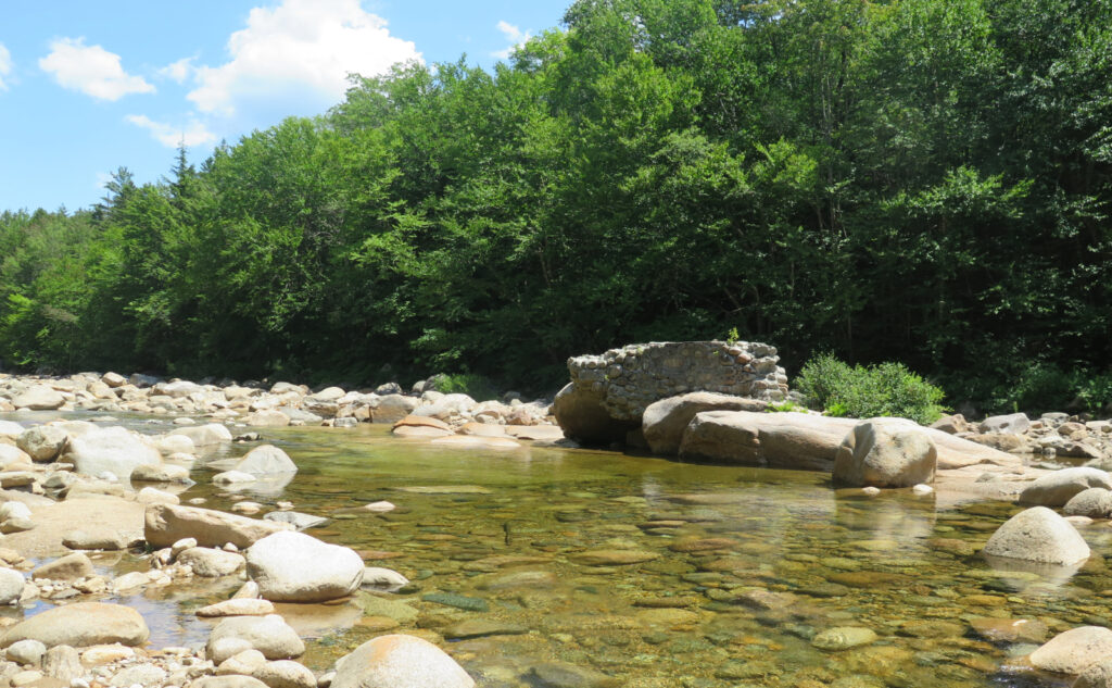
Of course, I had to lay on yet another memorable moment before coming off-trail, and hike out on the east side of the river. I knew there was supposed to be an old trail… well, yep, it’s there. It’s not particularly easy, but it isn’t very hard, either. I got to see some more of the past, hiking across old railway sleepers. On fording the river, I also got to see the old bridge foundations of that railway. While it’s probably not for everyone, for me, at least, things like this are the connections to what once was; a window into the past, and a greater understanding of the determination those people had in “conquering” nature.
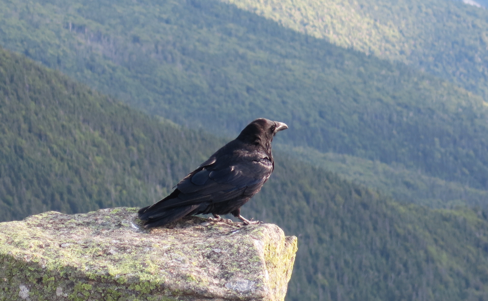
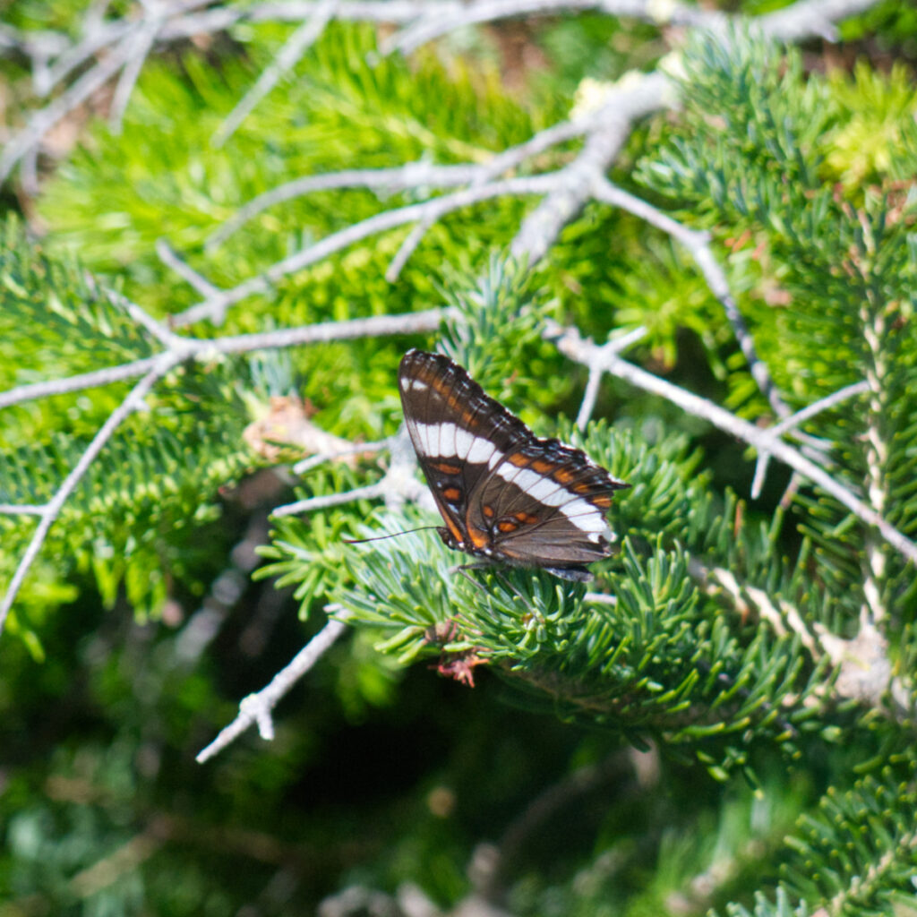
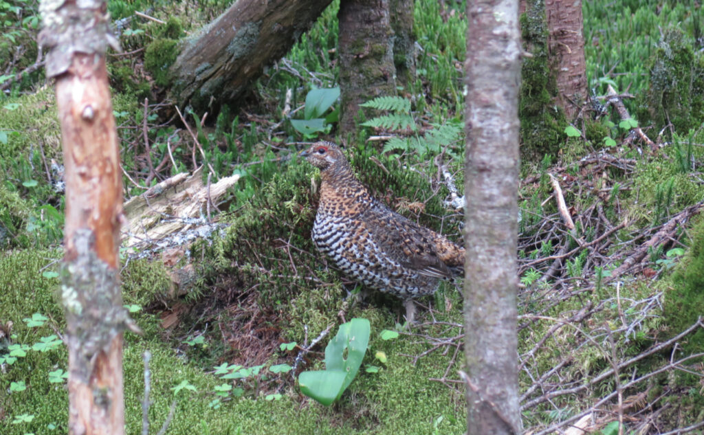
I drove home, thinking about the little things. The ravens on the summit of Lafayette. AT thru-hikers who’d set camp in the fire tower on Garfield’s summit. Blueberry quick bread at the Galehead hut that might have been more blueberry than bread. (Yum!) Feeding Canada jays (and wowing other hikers). The moon over West Bond. The great spangled fritillary on Bondcliff. Meeting lovely people. SOBO AT hikers. A lone NOBO hiker. A couple preparing for the Long Trail. And happy pups, tails wagging across the miles. Yep, the forest is a balm, alright.
As always, stay safe out there.

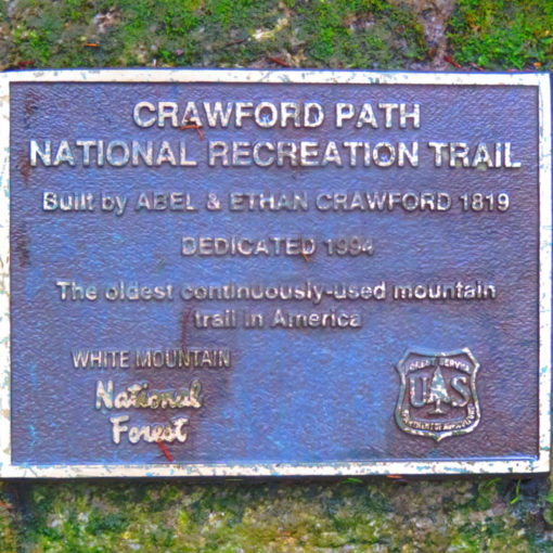
Nuts and Bolts: You can obviously start and end a loop hike from anywhere. The customary start is from Lincoln Woods, almost exactly five miles out from the town of Lincoln — exit 32 on 93. Don’t forget to sign in at the ranger station. However, there are many other ways you can slice that pie. One could make a fine argument for starting somewhere like Gale River or something. (Going clockwise, you’d tackle Osseo Trail around day two, when you’d gotten your trail legs a bit more established.) Your mileage may vary.
This was my third hike of the Pemi Loop. For those interested in going hut-to-hut, read my post on that variation.
Bears and food: I’m not 100% convinced that bears are a huge problem at the higher elevations. Food is more sparse than in the valleys below, and the climb up is generally pretty steep. I’ve not seen a bear anywhere near the loop trails in three trips, nor have I heard of any making the rounds.
That said, it’s not unheard of for a bruin to go wandering. Just the other week, I spotted one just below the summit of Mt Osceola. Obviously not the actual summit, but absolutely not the valley floor by any measure. Blueberries are about to be in season, which are favorites with bears as well as humans, and they do indeed grow in high places — Whiteface is obviously famous for them, and I’ve enjoyed my share high-up on Bondcliff, Eisenhower, Madison, and Isolation in the past. Bears aren’t looking for a fight with us, they’re only trying to pack on the pounds before winter, so they’re very singularly focused.
Be vigilant and practice good bear hygiene. If you’re stealth camping, consider a bear canister or an Ursack. The trees at the higher elevations are often too tight to make for a good bear hang like you’d find in the lower elevations. (The rule of thumb is that your food bag should be at least ten feet up, and four feet from the nearest tree trunk.) At the established tent sites, obviously, make use of the bear boxes provided — that one’s a no-brainer. Be mindful of your garbage and pack everything out. A fed bear is a dead bear: after they become habituated to human food, they become aggressive about getting more, and then it’s a matter of time before the animal is destroyed. Keep wildlife wild.
On garbage… I was gobsmacked to hear a hiker griping that there wasn’t a public trash receptacle at the Galehead Hut. This, despite that hiker’s companion explaining Leave No Trace ethics, and how all that garbage would need to be hauled out by helicopter at the end of the season. I have no words for this.
I’m happy to report I didn’t find much rubbish on my trip this weekend. I haven’t been picking up rubber hiking pole tips as much lately, which has been nice. Still, things like that and the occasional surgical mask continue to be a blight on the landscape. Yuck.
One thing I did keep seeing was granola bar wrappers. I doubt hikers are deliberately tossing them aside, but rather, that they inadvertently fall out of someone’s pocket. Make the mountain a better place for your having passed through. Secure your rubbish (maybe someone else’s, too) and we’ll all have a pristine forest to enjoy.
Crossing Franconia Ridge: between Liberty Springs and Garfield tent sites, the only other reliable water is at the Greenleaf Hut, which is a steep and rocky one-mile hike down from the ridge. Camel-up as much as possible, and consider electrolyte additives (Gatorade, Propel, Mio, etc) to help keep you hydrated. The sun can be unforgiving, the wind will dry you out faster than you expect, and the trail itself is rocky and arduous. My problem this trip was sweating faster than I could rehydrate.
Hiking out via the Pemi East Side Trail: It’s not terribly hard to find, or follow, the old railway bed on the western side. Just don’t expect things to be in any state of repair. It’s not bushwhacking, but I did encounter numerous downed trees blocking the way. Note that there isn’t a bridge, nor a single stepping stone to get you across the river. You will need to wade through water deeper than your knees.
Consider the depth and current of the river. I crossed when the water level was relatively low but those days aren’t all that frequent. The water moves fairly quickly, and there’s a lot of it, so you’ll be shoved around. Approach the crossing with deliberation and care, and back out at the first hint that things aren’t right. The water gets deeper before it gets shallower. On the other side, you’ll need to head down the Wilderness Trail for a short bit, but otherwise, it’s straightforward, all the way back to Lincoln Woods trailhead.
If you enjoy reading these posts, please subscribe — stay in the loop! Your email will only be used to alert you of new posts — typically 1-2 times per week. I will not use or share your email for any other purpose without your express permission. And feel free to share via social media using the buttons below.
Help support this blog! Some of my photos are available for purchase at photos.proteanwanderer.com
Find me in the mountains, on this blog, or on Twitter: @Protean_Hiker

8 thoughts on “Trip Report: Pemi Loop the Third”
Nice report. This must have been a bit of body shock after some weeks of smaller adventures. I agree with the West Bond “Thing”. It’s always been one of my favorites. Several years ago I sat alone on West Bond watching the full moon balance on top of Garfield then slowly slide down the back side while talking to my father in Alaska on my cell. He has since passed but he is always there with me when I visit West Bond. Emerel
Yep, I did feel some of that “body shock”. Obviously the distance, but looking back, my pack was perhaps 5# heavier than it should have been. If I do this again next July, I’ll reconsider the “extra” trips to North Twin and Zealand, and instead spend more time on the bald summits just looking. The loop just keeps getting better. I didn’t have much cell service (and wasn’t unhappy about it) but similar to you, I sent my father updates via text and occasional photo. You’re right, it’s an important connection.
I agree, especially the out and back to Zealand from Guyot. Not my favorite stretch of trail and you get to do it twice.
Oh, this is just the best!!
You really knocked it out (the post as well as the hike)
I broke my foot five weeks ago, and have taken to my chaise lounge for the season. It’s a gift to be able to read your posts and contemplate beginning my Over the Hill round next year
Thanks!!
Oh no!
At least you’re able to “hike” vicariously.
For me, the worst was staring at four walls, and in wintertime, that’s a given. At least you can sit outside in the warm weather, which might make it a little more bearable.
I’m sure you’ll be on your feet again soon.
Glad you’re enjoying my posts.
Warm regards…
It was so nice meeting you and hiking up to South Twin together! Our conversations definitely distracted me from how intense the trail was. After reading this post, I’m even more excited to get out and do my first overnight trip and I think Guyot is going to be the place for the Z-Bond traverse.
I’m glad we got to share some time together; I enjoyed our conversations, too. I think you’re going to have a blast doing that overnight, and of course, then you’ll be hooked on the idea. I submit as evidence that I’m planning on doing another loop in the next couple of weeks, and a couple other overnights this summer elsewhere in the Whites.
Drop me a note: I’d love to hear how your Z-Bond trip turns out.