A trio with twins?
North and South Twin Mountain, Guyot, and West Bond Mountain. 2018-06-14 (Thursday.) Via the North Twin trail, North Twin spur, Twinway, Bondcliff trail, and West Bond spur. Approx 18 miles.
North Twin, 4761 ft; South Twin, 4902 ft; Guyot, 4580 ft; West Bond, 4540 ft.
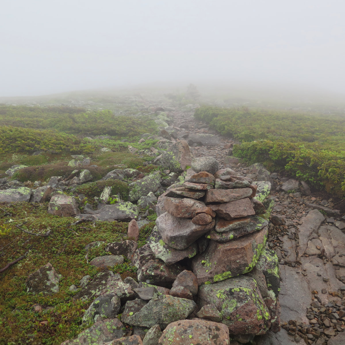
60 dF at trailhead, approx 50 dF at summits, 30-35 MPH winds, mediated by consistent tree cover on the trails. Mt Guyot traverse was essentially a wind tunnel. Very wet throughout. If not rain, then heavy mist that condensed on everything and was blown everywhere, lasting for most of the day.
Trailhead: 0800. North Twin summit: 1045. South Twin summit: 1130. W. Bond spur: 1315. West Bond summit: 1330. Car: 1800.
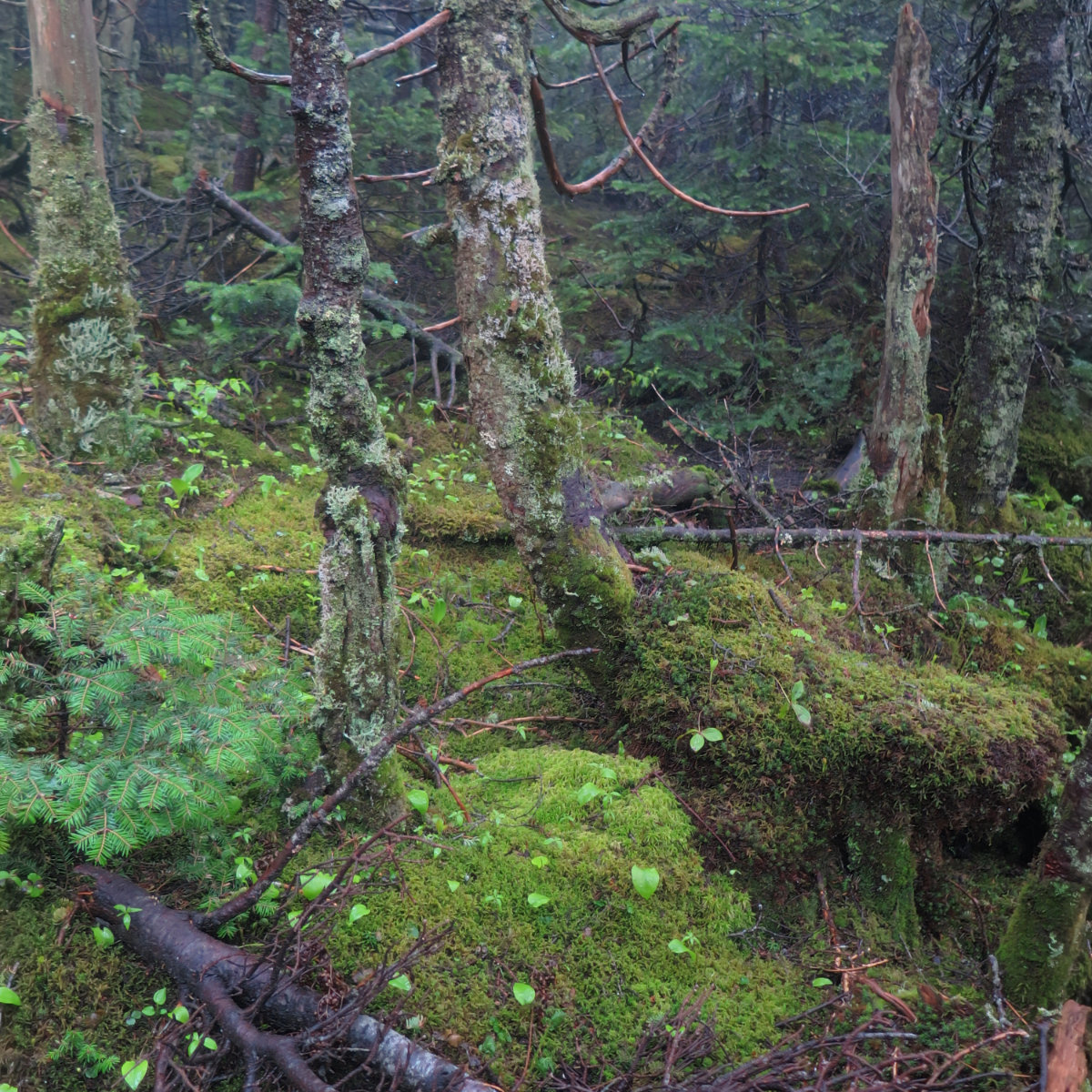
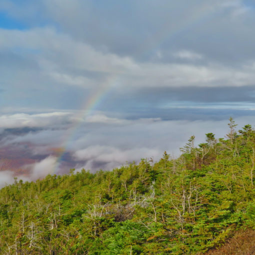
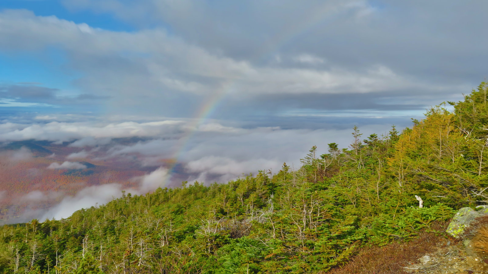
Today’s views could best be described as what you’d expect if you were trapped in a ping-pong ball. And yet, sometimes, we do it anyway. It was firmly Type 2 fun. The green tunnel was in full effect, and up on high, if being soaked to the bone wasn’t enough cause for thought, the mosses gave me a “forest bathing” moment. So at least I could lean on those two to lift my mood when the clouds were trying to put a damper on things.
I started out dry, but that was dealt with before I even got to North Twin. This wasn’t going to be a day of epic views, but rather one of challenge. And honestly, I hadn’t been tried by the weather in a few weeks, so one could argue this was coming.
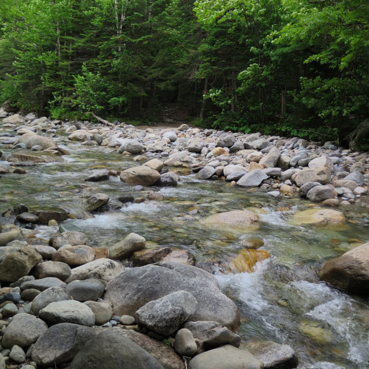
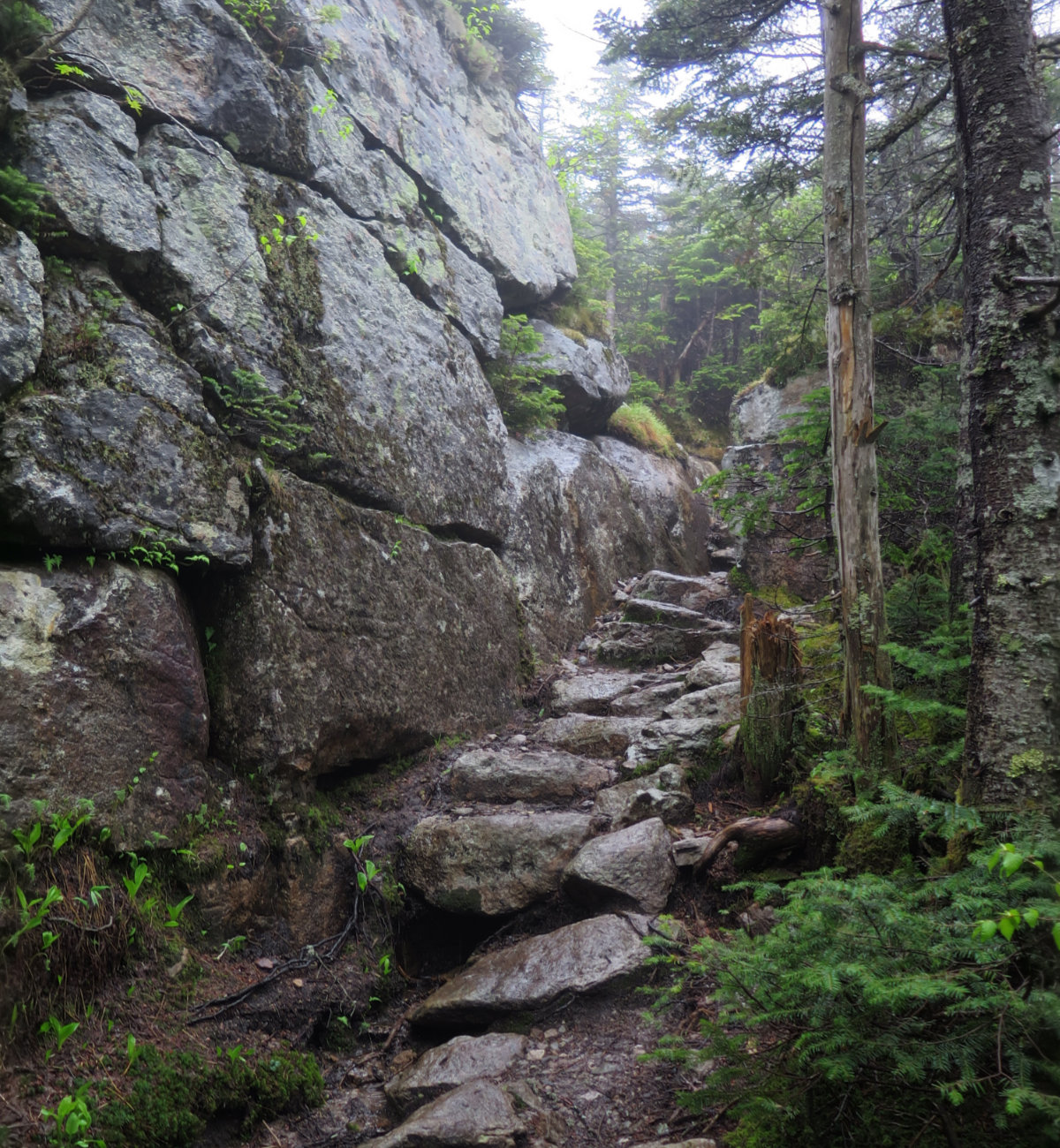
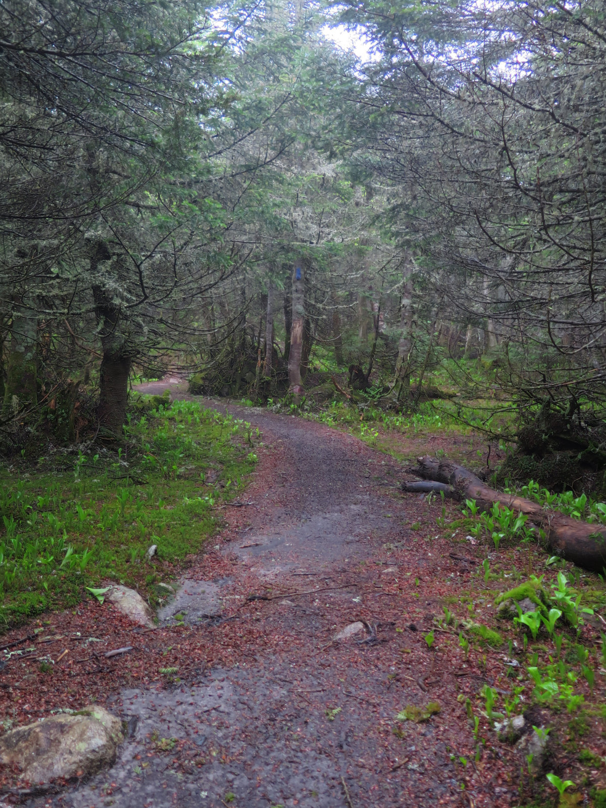
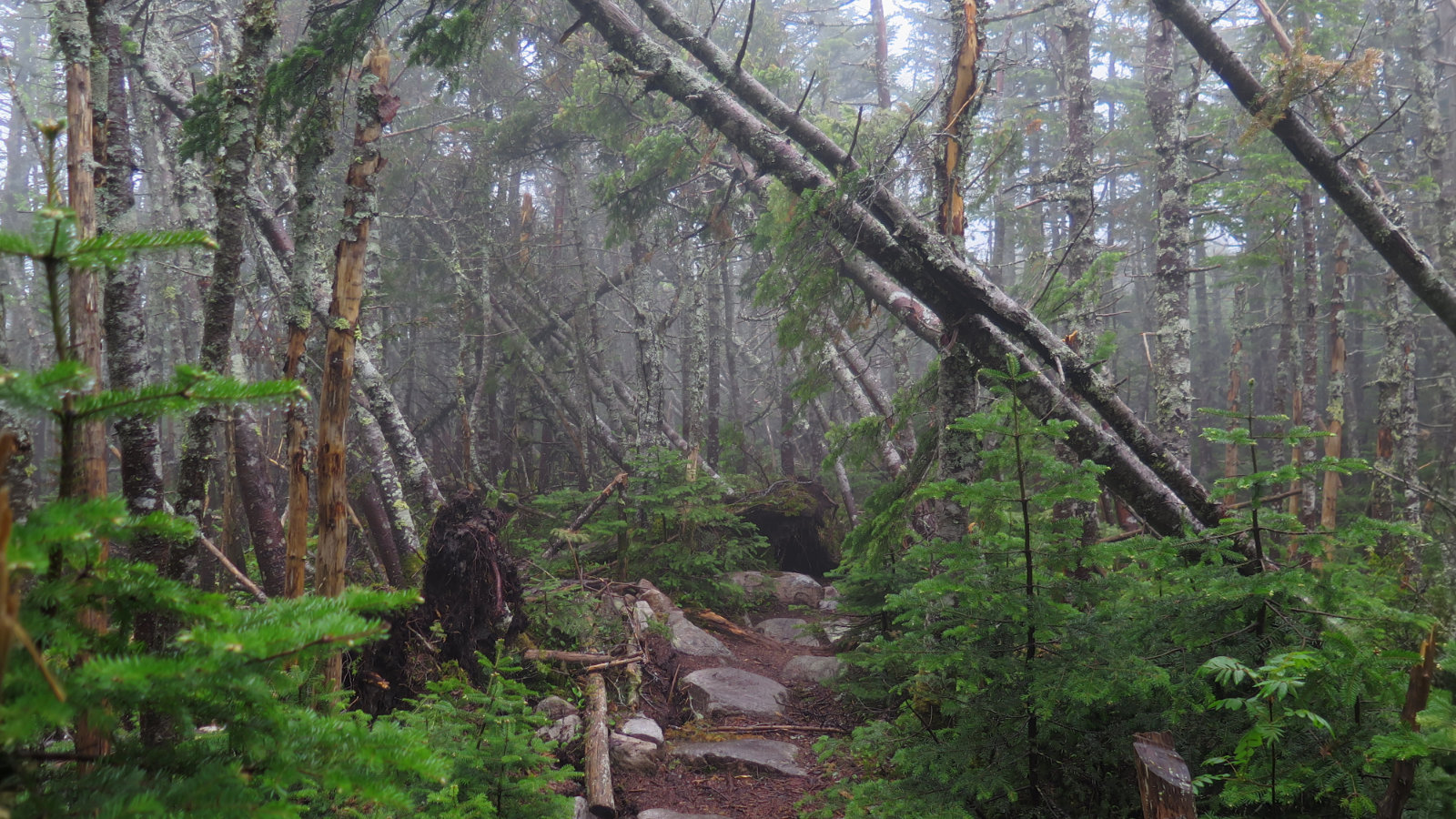
In sharp contrast to the glorious botanical bounty I enjoyed in the north just the other day, things were more in line with ferns and that sort of thing — no botanical fireworks. And then there were three tedious water crossings. Topping it out, blow-downs were everywhere. I usually like to address any that are problematic on the way back, because I’m heading downhill, and so am less averse to burning energy and time. But one in particular completely blocked the way forward, and I think it may have fallen very recently. My saw made quick work of it, and I was back on track, but there was a lot of bumbling over, under, and around other blow-downs on the trail.
NB: There’s a section of North Twin trail, about 2 miles in, that’s entirely blocked by a massive group of blow-downs. A goat path has materialized around it, but be careful about erosion. Also, the first two water crossings can be skipped by following a thin path along the east side. The last crossing is, by far, the easiest; of course, utmost care should always be taken. The water is deeper than you think, cold, and fast moving. A potentially deadly combination, and not the way you’d want to end up on the evening news.
Nearer the North Twin summit, I bumped into Ozzie, a retiree who is NOBO-ing a section hike of the AT that he started a few years ago. We joined forces and kept each other company for the next few miles — at the Twinway, he headed out for Zealand Falls hut. Coming from the plains states, he was hoping to stand on Katahdin in a few weeks. Good luck, Ozzie. May the wind be ever at your back, your pack light on your shoulders, and may the sun shine warmly on your face.
After that, I passed Guyot summit, aiming for my ultimate destination of West Bond. Having been three months to bag that trio, and more than a little tired of having that millstone around my neck, I was eager to check that box off the list. It’s a nifty little summit, and even in the persistent pea-soup fog, it felt like this was a summit worth revisiting.
West Bond’s northern slope did have a lot of blow-downs from last year’s storm. As I passed through, I couldn’t help but feel upset at the massive carnage. But then, on further inspection, I saw a huge number of smaller trees in the understory. These little fellas suddenly had all the light they could possibly want, and a lot less competition for nutrients in the soil. They looked very healthy, and the summer will likely see them growing like crazy. So hope springs eternal, as always. The cycle of life continues.
I turned for home and tried to make time. Feeling like a drowned rat for most of the day was getting old fast, and so I put some extra spring in my step. Passing over Guyot, I felt less chilled by the insane winds, and made quick work of the rock field. On the other side of the Twins, the wet finally abated as I descended into the deciduous forest. And then I was back at my car.
This was one of those hikes I probably wouldn’t have considered last year, owing to being drenched and perhaps a little colder than I should have been. On the other hand, as tough as it was, I had a good time overall. The trail was far from perfect approaching North Twin, but I don’t go into the woods expecting a yellow brick road to the summit. Any adherent to eastern philosophy will tell you that beauty lies in imperfection, so on that score, this was a beautiful outing. And though I was cold, wet, and miserable at times, I’m not inclined to disagree.
8 thoughts on “Trip Report: North and South Twin Mountain, Mt Guyot, and West Bond Mountain”
Your West Bond moment brings back memories for me; our finish of the 48! Glad you were able to see the beauty of imperfection. Nothing like luxurious thick green moss!
There was a lot of imperfection, that’s for sure. Starting with the soggy weather. But it’s all good!