North and South Kinsman Mountain (4,293 and 4,358 feet, respectively). Lincoln and Easton, NH. 2020-01-07 (Thursday.)
Via Mt Kinsman and Kinsman Ridge Trails. 10 miles round-trip, approx 3,900 feet elevation gain.
28 dF at the trailhead, 15 dF at the summits/ridge. 20 dF at Bald Peak, 25 dF back at the car. RH ranged from about 55% to 85%. Winds were negligible in the trees, about 20-25 knots at the summits, gusting to 35. Dew point was 10-20 dF throughout. SUN/CLOUDS throughout.
Trailhead: 0930. North Kinsman summit: 1230. South Kinsman summit: 1300. Bald Peak: 1430. Car: 1520. Approx 6 hours.
Frustration, Then Elation.
Today was something of a comedy of errors when it came to actually leave the house and drive in a specific direction other than “up 93.” I’d been planning on doing the Twins via Galehead, but didn’t like the trail updates on NETC regarding the water crossings, and the prospect of being on top of South Twin in a gale-force wind wasn’t terribly appealing. Then I thought I might do Jefferson, but the most recent updates said there was a lot of black ice and rocks that would munch on spikes and snowshoes. And there was that pesky wind to deal with. So that didn’t feel like a smart idea, either. Finally, I just punted, and decided to hike North and South Kinsman. It was a pretty fail-safe plan. I’d be out of the howling wind for most of the hike, there wouldn’t be a long walk to get to the trailhead… sometimes that’s just the way things roll.
On the plus side, the MW Observatory called for partly sunny conditions. I’d get a view of the Franconias, which never fails to impress. Yeah, so that part of my plan kinda wiped out. Rule #1: don’t take anything for granted, especially in the mountains. The gods will happily smite thee for thy arrogance. Rule #2: clouds will obstruct thy view at every possible moment. It’s only at the pleasure of the gods that you get to see so much as thy hand before thy face. Be not so arrogant as to expect to see the next cairn, ye mere mortals.
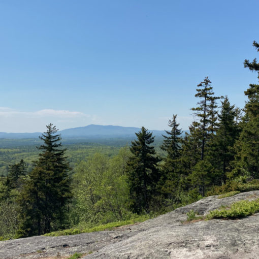
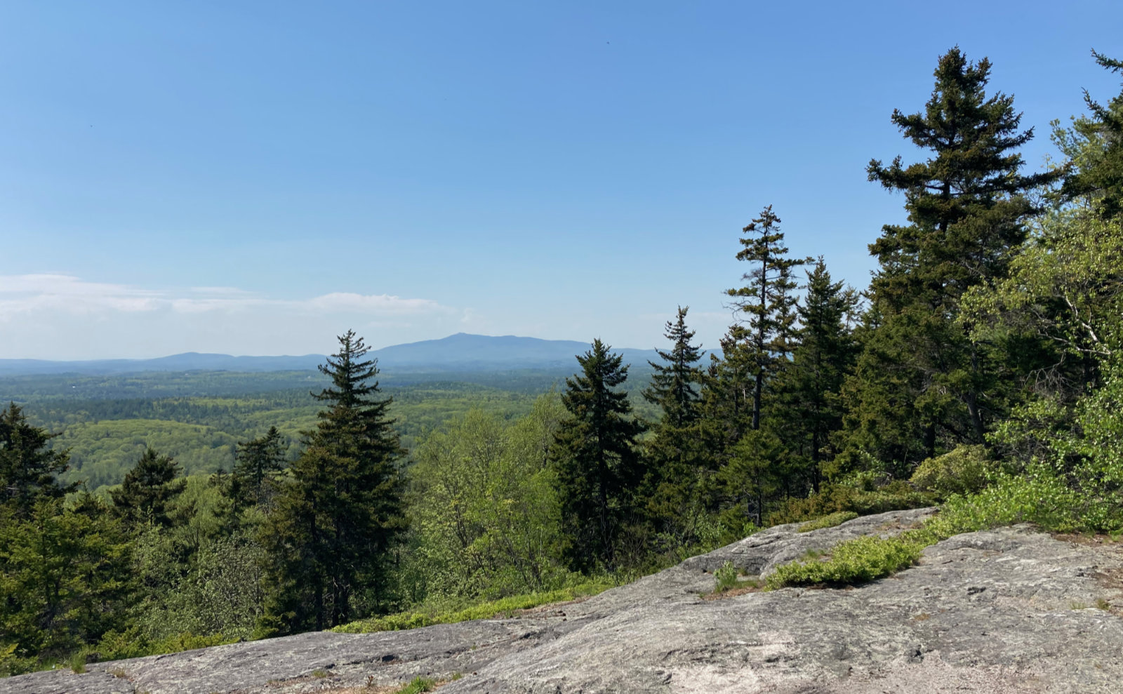
I’ll say one thing about the Kinsmans: Any which way you approach them, it’s an easy drive to get to the trailhead. My last three trips now have been from the west, and I’m having a hard time coming up with a reason (except redlining) why I should change. The Mt Kinsman trail is a nice way up, featuring relaxed grades in the first half. The second half is more spirited, but not terribly so — a fit hiker who’s new to the Whites could do this hike as his or her first of the 48, and likely not get into much trouble.
So let’s get going, shall we?
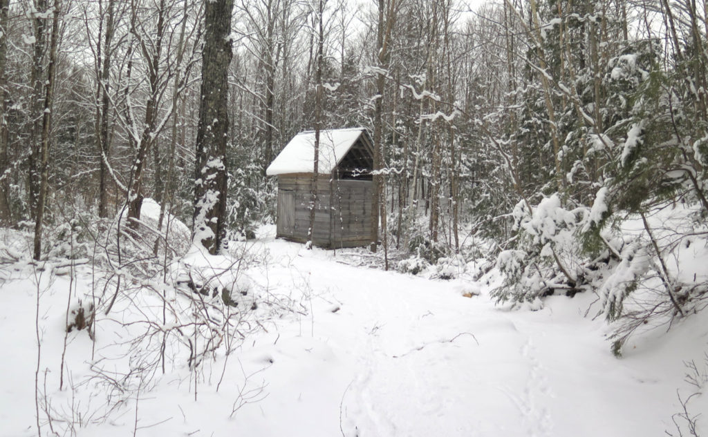
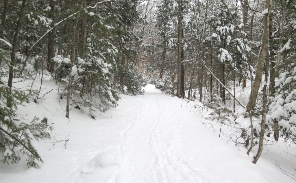
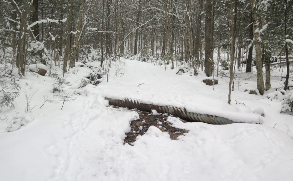
I got underway, making good time. Overhead was nothing but cloud, just a “meh” brightness to the trail. Trees, though, were coated in recent snowfall, so on that score, things actually looked nice. Wind was negligible, and the cold wasn’t biting, so it was very pleasant to be on the trail. There were a few one-hop water crossings, the old sugar shack… everything familiar. Heading up, a fellow hiker was coming down with her utter spaz of a black lab puppy, having the time of her life out on the trail, with a serious case of the zoomies. The happiness of puppies is the most infectious thing on earth, which isn’t a bad thing in the slightest.
As the trail pitched up, I leaned into it. The deciduous trees gave way to conifers, and the trail felt a little more closed-in. I was hoping the clouds would break soon, because as I approached the ridge, anticipation of the view took hold. The wind, very subdued lower down, became more of a presence. At the trail junction, I put on a windproof layer, and then pressed on.
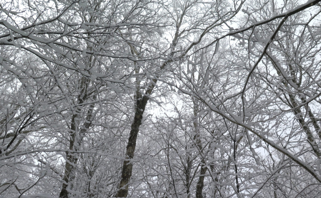
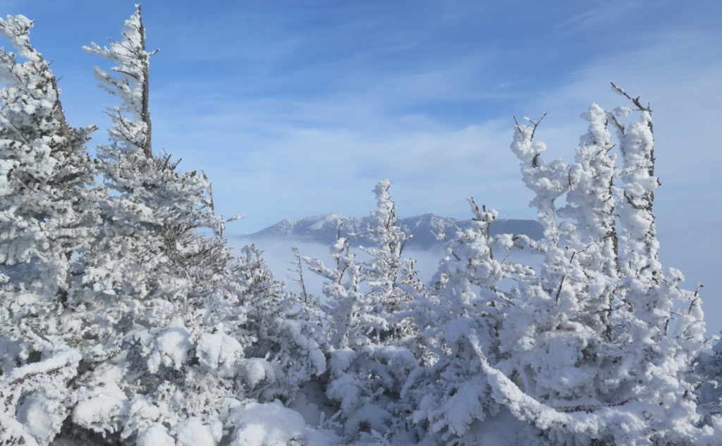
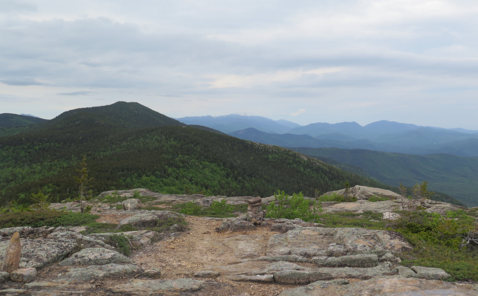
The never-present view from North Kinsman
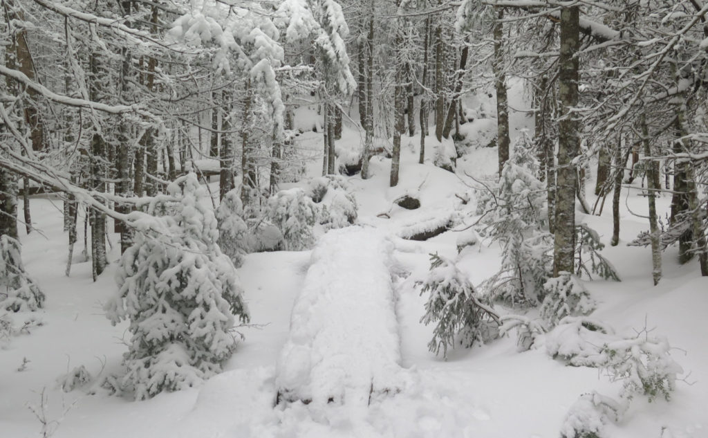
There had been some snow recently, but everything amounted to a few inches at the absolute most. I was enjoying the lightweight spikes, instead of heavier snowshoes. On the ridge, there were a few drifts, but again, nothing major. I crossed onto North Kinsman’s summit and looked for a view, but the clouds felt thicker than ever. I was told there would be a view!
A bit disappointed, I continued to South Kinsman, and passed a hiker who reassured me. The clouds were breaking up a bit further on. Awesome! Invigorated, I moved a bit more quickly, noting the shallowness of the col and the uncomplicated trail made forward progress much easier. The wind was pushing through the trees, and much more of a felt presence. Not quite icy daggers, but movement toward my goal was an imperative.
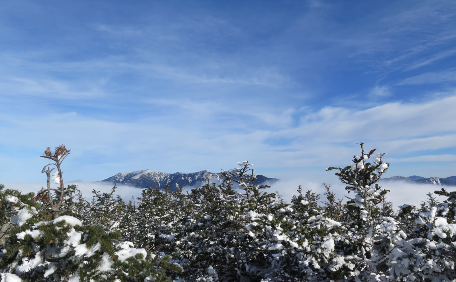
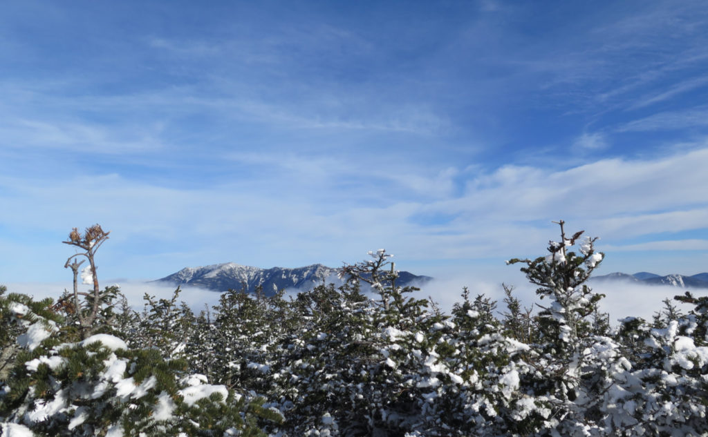
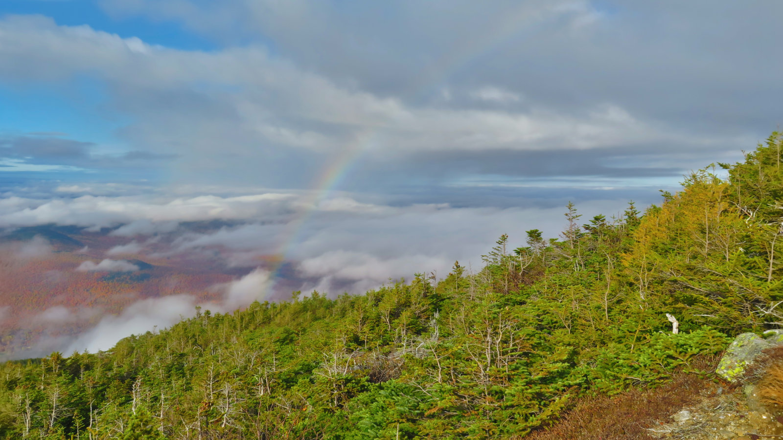
Keyholes in the clouds on South Kinsman
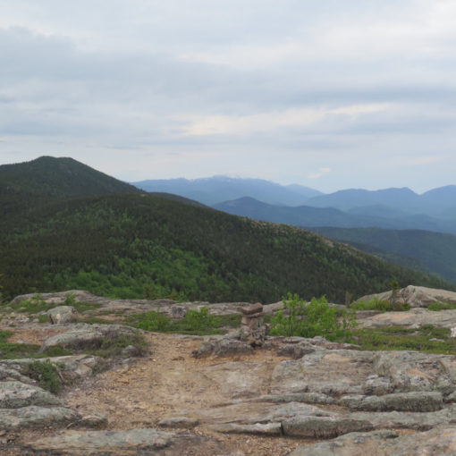
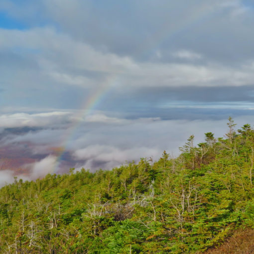
Crossing onto South Kinsman’s summit, I looked left and wow! The breaks in the clouds were very small, but I got the view, complete with a deep blue sky as a backdrop. It was a bit like looking through a keyhole. Of the vastness of the Whites, all I could reliably see was Lincoln and Lafayette, with an occasional sliver of Liberty and Flume poking out of the clouds. There was an undercast in the notch, and thin, wispy clouds overhead, which lent an otherworldly air to the scene. It was pretty sublime.
Otherworldly scenes aside, I was getting utterly blasted up there. The wind was howling. What scant few minutes I took to look around were enough to know it was very windy, and despite the sun, not particularly warm. A couple photos, and I was done. Exit stage right.
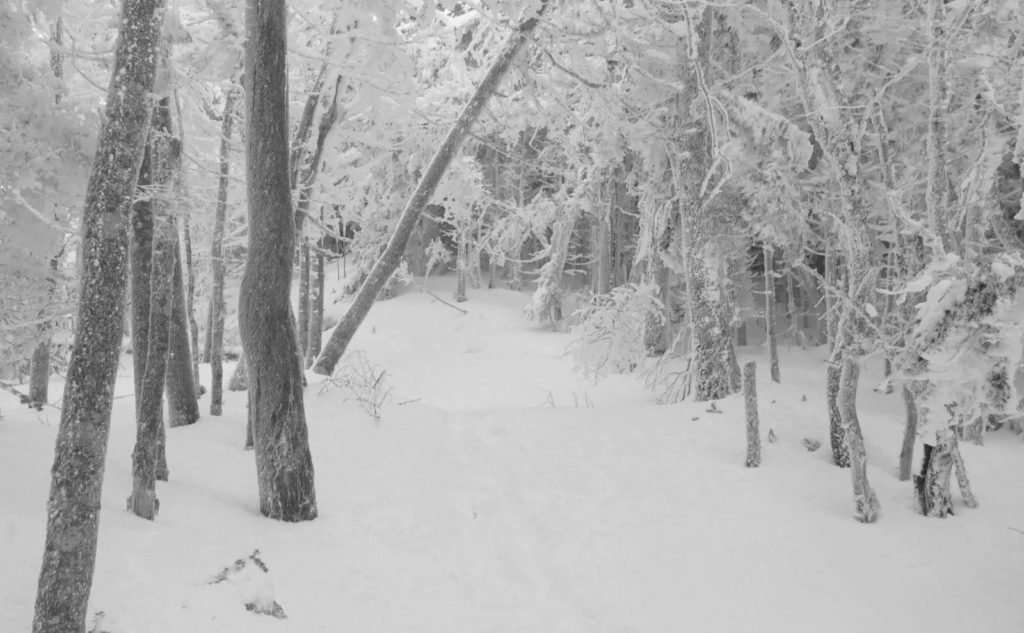
Hello, I must be going
Heading downward, I made good time, although once I descended South Kinsman to the col, I noticed the trail was socked in clouds again. Apparently, the view wasn’t going to follow me north. Story of my life. Crossing the col was quick. One thing that sticks in my memory is how much this is a very easy-going hike. (Something else that sticks is that its ease coupled with its majestic views makes it very popular in the warmer months. Not the place to find solitude, unfortunately.)
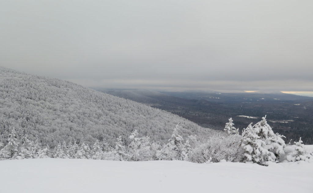
Not quite two miles from the car, I made a brief stop at Bald Peak… the spur was a trail I hadn’t hiked yet, so I got that one for my redline as a bonus. There, the view was strange: I was under the clouds, but not by much. Looking to the ridge, I could see upslope to maybe 200-300 feet above me, and then things got murky really quickly. Again with the otherworldly views being the theme of the day.
Sunset still an hour away!
Back at the car, I realized this was a rare hike where I didn’t need a headlamp to finish the hike. So maybe it was OK that I settled for Kinsman today, instead of one of the longer hikes I could have done. It was a refreshing change to be able to take my boots off in actual sunlight. Heck, I could enjoy the view to either side as I passed through Campton, even, with a luxurious hour to go before sunset.
And on that point, driving home, I was met by a frustrating sight. On the opposite side of Kinsman ridge, looking east, I saw all kinds of blue sky over the Whites. And then the elation: I don’t know for sure if the winds were entirely from the west, but it struck me that I was hiking across the first big wall that the weather encounters after it clears the Green Mountains.
Again, I have no proof, but I wouldn’t be surprised if the forecast was mostly right — I saw sun everywhere else, even though my day was almost entirely blanketed in fog. Nature is weird, but it makes sense that I was hiking along the top of the wall that blocked the clouds from everyone else’s view.
Some food for thought: wabi-sabi
Recently, I’ve been reading about the Japanese concept of wabi-sabi. Words will fall short of a true definition, but in short, it’s the embrace of the rough, unfinished nature of things. Every so often, I return to studying this a little more. Part and parcel is one should give up on finding perfection. Certainly in nature, it doesn’t exist.
Well, today certainly was a lot of imperfection. Maybe that’s a good thing. It’s a very easy going trail, and coming from the west, you don’t get assaulted by the sounds of the highway. Without a doubt, I have that quietude to be thankful for, and it didn’t go unnoticed.
Occasional birds were heard nattering about, there was the ever present sigh of the wind in the branches above, and closer to me, the creaks, snaps, and pops as the trees swayed back and forth. I didn’t get my unbridled views, but that leaves something to return to. The trail you hike is the trail that redefines you in that moment. It’s the worst kind of conceit to think Nature owes you anything. And so I don’t. I can come back for the view.
As always, stay safe out there.
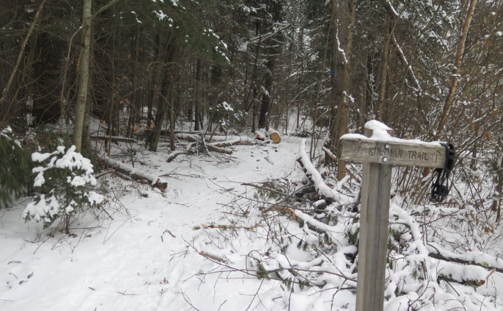
Nuts and Bolts: Take 93 to Exit 32, and head west on Route 112. A fair bit beyond the Beaver Brook trailhead (which heads up Moosilauke from the north) turn right onto 116. The trailhead will be on the right after a few miles. Note that you won’t see a brown hiker sign and an arrow, just the wooden trailhead sign, so keep your eyes peeled. Before you get there, you will actually see a hiker sign for the Reel Brook trail, at Reel Brook road (a little more than 3 1/2 miles from the 112/116 junction.) From there, Mt Kinsman trailhead is a couple minutes further up.
The parking lot is small, and so in warmer months will likely fill to capacity quickly. Be a good ambassador for the sport if you need to scout around for alternative parking. The road is a residential neighborhood. (Who’s not jealous of those residents?!) Blazes are blue up Mt Kinsman trail. Kinsman Ridge trail is part of the AT, and so blazed in white as per usual.
Regarding the map: I included the map from my trip up Reel Brook trail, across the ridge to the Mt Kinsman trail. Use the obvious bits as needed. I don’t particularly recommend Reel Brook in winter. Not the least, climbing up South Kinsman from that direction is a beast of a hike with quite a bit of scrambling. It also gets little traffic, and so likely won’t be tramped down in winter. In the warmer months, though, it’s a nice way up, particularly if you’re averse to crowds.

5 thoughts on “Trip Report: Finding Fog on North and South Kinsman”
Hey, if I’d know you were on Kinsman yesterday, I’d have waved. You couldn’t have seen me, though, because Cannon was utterly socked in all day, down to the bottom of the Cannonball lift. I stayed off the upper mountain after my first couple of runs, because visibility was so poor it was straight-up dangerous to ski.
Oh darn. You didn’t see me wave? *grin*
Yeah the snow was epic. Glad you stayed low. I’ve skied Cannon in those conditions and you’re absolutely spot on. It can get dangerous.