Middle Carter Mountain (4,610 feet.) South Carter Mountain (4,430 feet.) 2023-05-22 (Monday.)
Via Imp, North Carter, Carter-Moriah, Carter Dome, and 19 Mile Brook Trails. Approx. 11 miles, trailhead-to-trailhead. Includes a road-walk of approx 1 1/2 miles.
65 dF at the trailhead, temps a bit lower all along the ridge, but never uncomfortable in shirtsleeves. Winds were mild to almost non-existent. Sun with very occasional clouds, some haze.
Trailhead: 1200. Imp Face: 1400. Middle Carter summit: 1700. South Carter summit: 1830. Car: 2100. 9 hours.
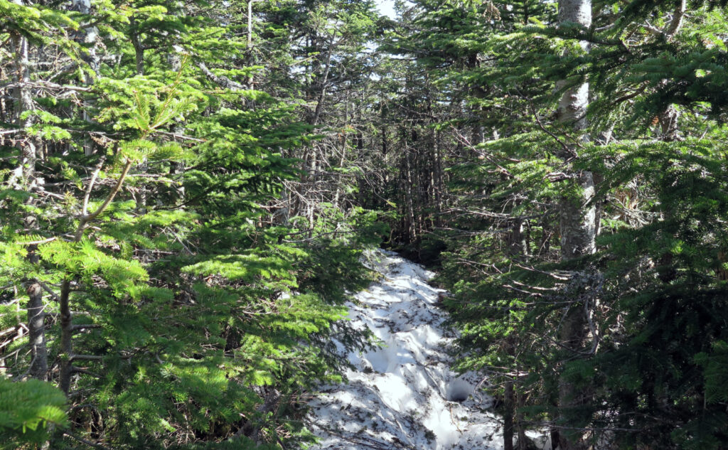
Slow slog through snow
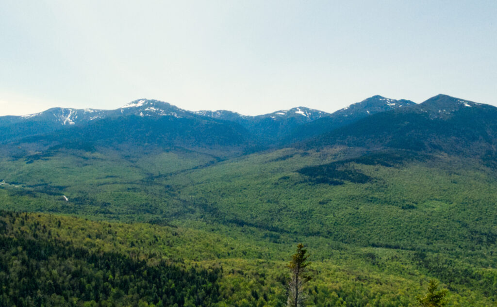
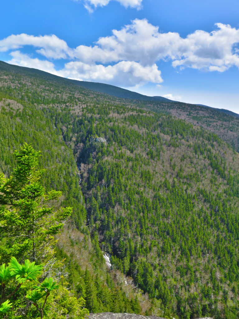
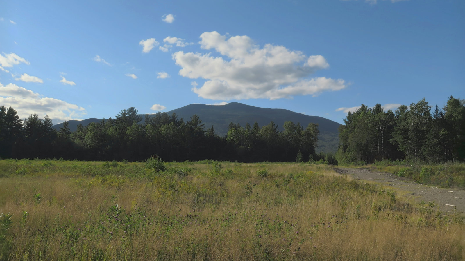
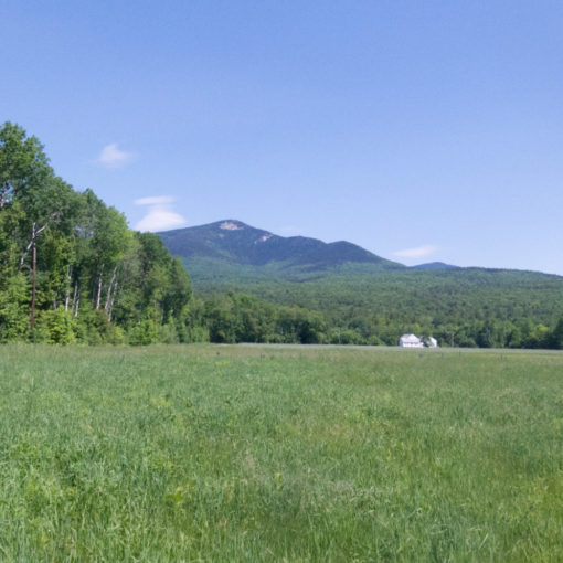
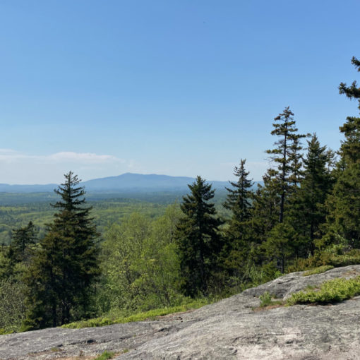
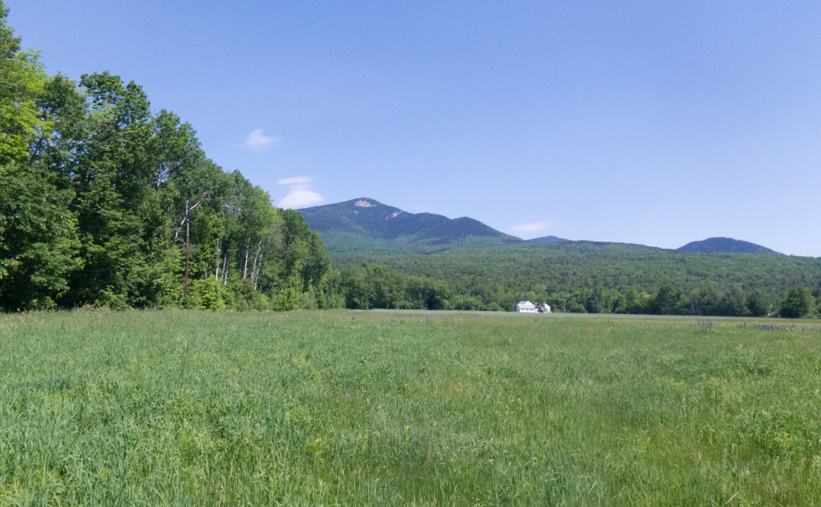
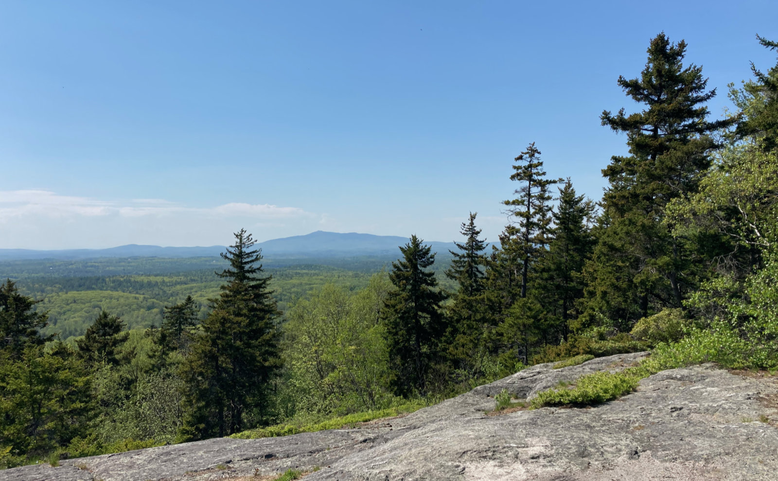
It’s most of a day later, and I’m still coming to grips with this one. “Exhausted” doesn’t even begin to describe how I’m still feeling. Sore, beat-up… those are good modifiers. Exuberant? Not even close. The views from the ledges were epic, as befits a day with abundant sunshine. Getting there was nothing special, except for the standard exertion of climbing to around 3,000 feet, from a trailhead that was about 1,200. But the rest of it?
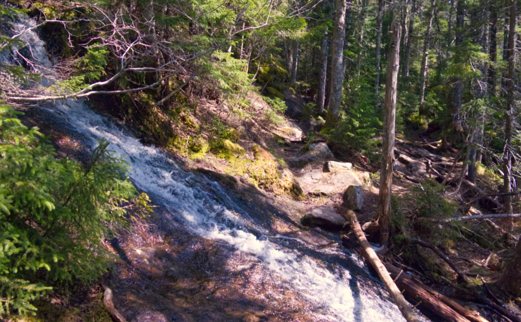
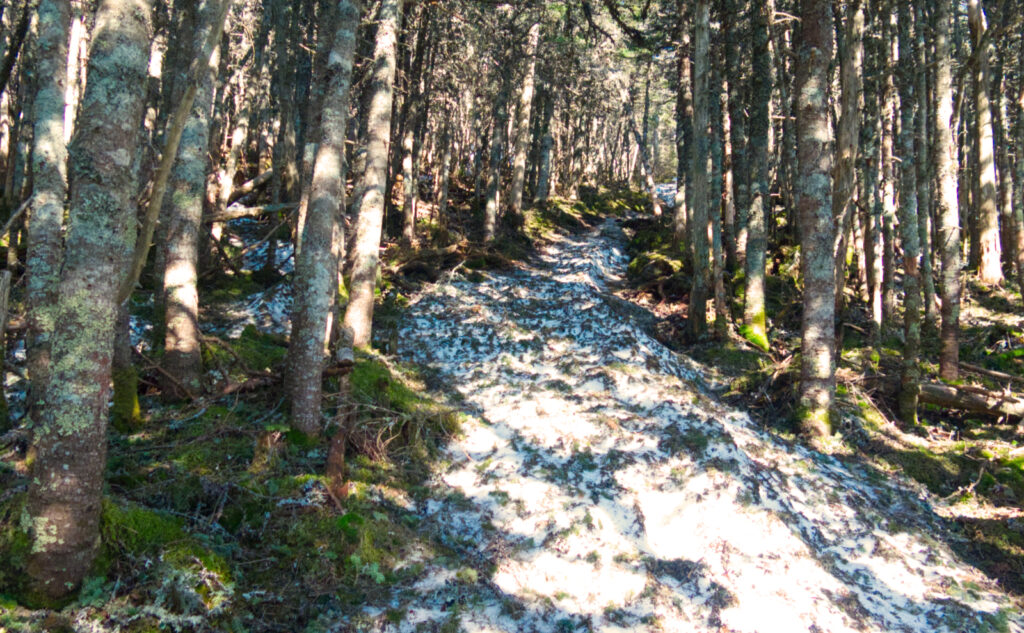
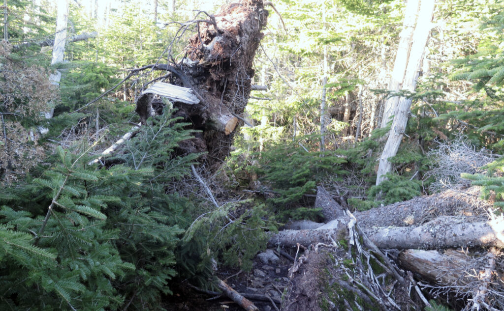
This one was just misery once past Imp Face. For anyone who didn’t get the memo, it’s mud season, but that’s not what killed it. Overall, the trails weren’t awful on the mud and running water scene; in fact, quite tame. The monorail, on the other hand, was a beast. It’s certainly on its way out, but the Carters sit high enough that there’s a lot of it, and in many places, it’s still thigh deep if you posthole. Worse, in many places, that which makes dirt mud lay just below the monorail, and before long, my feet were soaked. Not sure if the water came in over the top, or if my five year old boots aren’t “Gore Tex” anymore. The result was the same. Misery.
Looking back at a similar hike, I did both these peaks on a sodden day in seven hours. This time, with the snow, nine. Granted, nothing about the Carters comes easy. They’re a hard hike for sure. But this time was magnified: every step was measured. Traction wasn’t an issue: the snow had enough stick-tion that as long as the tread on your boots is reasonably aggressive, you’ll be fine. But while a solid foot of snow would bear your weight a few weeks ago, now you might find yourself walking over something, or just after taking that step, you suddenly drop half a foot or more as the snow gives way. And there’s no telling which is going to do what. The monorail was sturdy until it wasn’t. And sometimes you postholed to your shin, sometimes to your knee, sometimes mid-thigh.
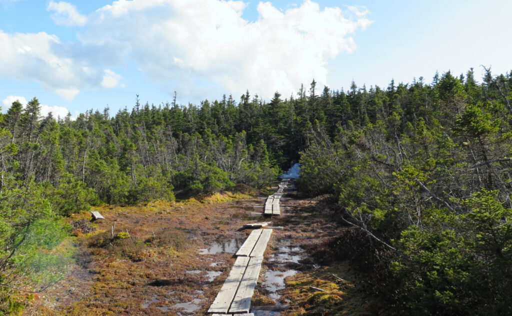
Overall, it’s something of a tale of two paths. Had I come up 19 Mile Brook to Zeta Pass, I might have had a much more enjoyable start. The snow didn’t seem as nasty on that “southerly” half of the loop. That said, once you pass South (assuming you go opposite my hike) it’s game-on. The snow in the col and then on Middle Carter is just nasty. When I got back to the car, I knew the pain wasn’t over; I still had the drive home before I could crawl into bed. The one hiker I met who’d gone up to the ridge (and indeed, had spent the night in Imp Shelter) warned me that the trail was tough. She wasn’t wrong in the slightest.
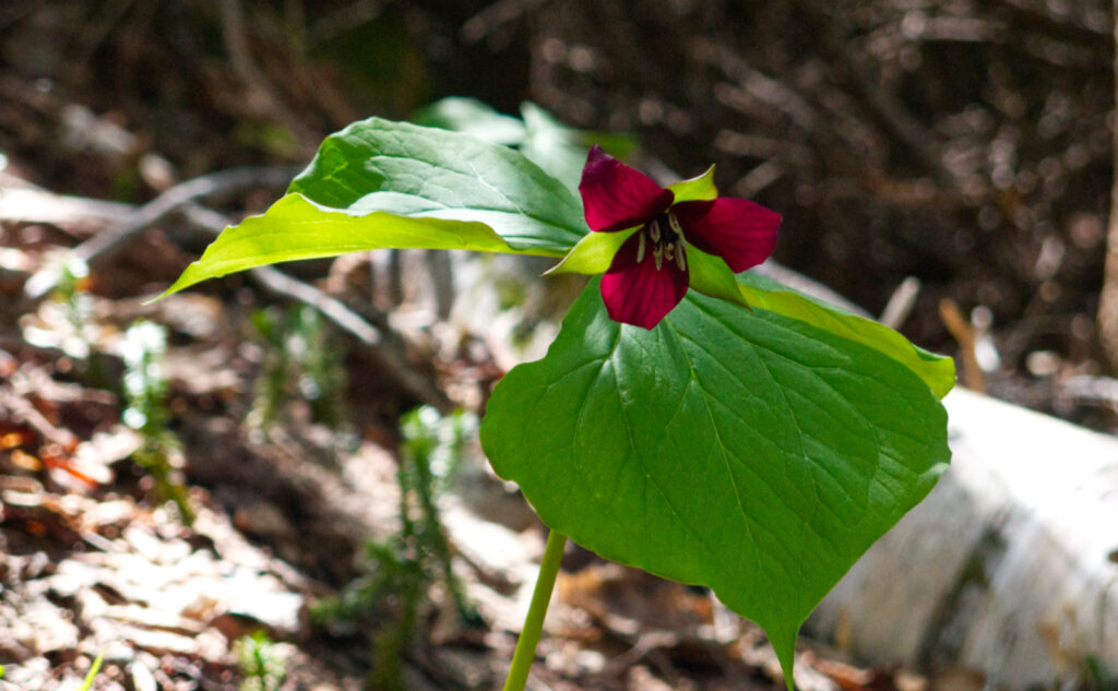
I’m going to let the photos do the talking at this point. During the worst of it, I didn’t really grab for the camera, because I really didn’t have the mental room to think about composing images. The upshot of that is the photos I did take were of nicer things, like the sweeping view from the ledges, the trillium I saw, and that lot. It probably says something that I was so exhausted at the various easterly vistas that I couldn’t realize I had majestic views into Maine. Just know that what’s not shown is the pretty nasty stuff: the miles of unsteady, crumbling, and soul-crushing monorail that tormented with every step. Focus on the good, and remember the bad will have melted away in a couple more weeks. Winter’s lease hath ended.
I can’t hate the Carters… if for nothing else, just look at the photos. This range has a lot going for it, not the least, the epic views of that tiny range across the street, and out into Maine. But for now, if you don’t need these peaks for your May list, I’d sit this one out until at least the second week of June, when it’ll be just as challenging but more enjoyable.
As always, stay safe out there.

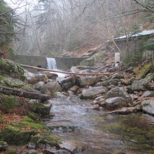
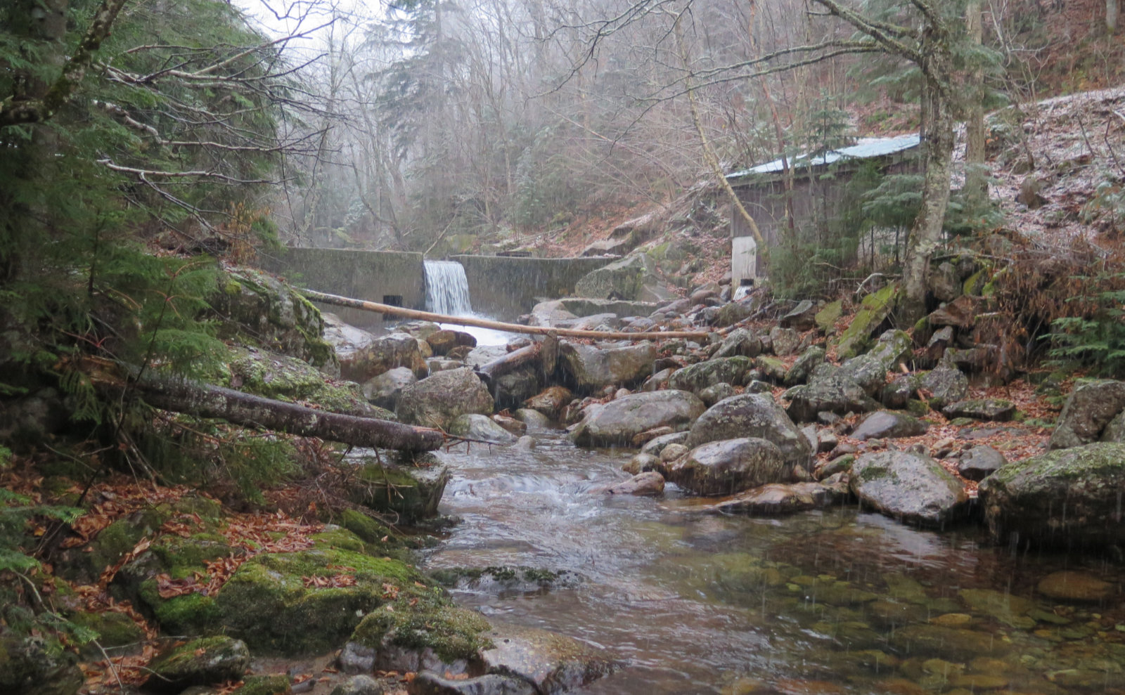
Nuts and Bolts: The trailhead for Imp Trail is on Route 16. If you’re heading south from Gorham, keep your eyes peeled once you leave town. It’s a small brown hiker sign but the kiosk is set back in the woods. I did the hike having parked at 19 Mile Brook trailhead — which was awesome when I finished — and just did the road-walk to the further of the two Imp trailheads. 19 Mile Brook has a parking area that can hold a dozen or so cars. If you’re having trouble finding parking, you might try Great Gulf trailhead. Know that you *could* park at Dolly Copp, but there’s no access on the southern edge across the Peabody River. You’ll have to walk all the way around, which adds significant mileage.
If you enjoy reading these posts, please subscribe — stay in the loop! Your email will only be used to alert you of new posts — typically 1-2 times per week. I will not use or share your email for any other purpose without your express permission. And feel free to share via social media using the buttons below.
Find me in the mountains, on this blog, or on Twitter: @Protean_Hiker https://twitter.com/Protean_Hiker/Help support this blog! Visit www.photos.proteanwanderer.com to buy some of my signature images.