
Mount Tecumseh (3,997 feet). Waterville Valley, NH. 2023-04-03 (Monday.)
Via Mt Tecumseh Trail. 4.5 miles round-trip.
Temps were in the high 40s all afternoon. Winds were unnoticeable in the trees, a felt breeze at the summit. High altitude haze at the start, with clouds thickening into a bona-fide high altitude overcast.
Trailhead: 1515. Summit: 1630. Car: 1730. I spent more time driving back and forth than I did hiking. At least I got some errands done on the way back.
Restful and relaxing, even though I raced relentlessly.
Beyond being alliterative, there wasn’t anything particular about the day. I got out, I hiked. It wasn’t glamorous, but it was a decent outing. When you’re hiking Tecumseh, you’re out just for an afternoon. It’s not Washington, and perhaps that’s its allure. There’s no pretense. For a lot of people, it’s the “easy” four thousand footer. I think that prize really goes to Waumbek or Cabot, but those ones entail a much longer drive for most. But there it is.
At one point, I was thinking I wasn’t going to leave the house in time, until I looked back at my previous outings, and remembered a simple truth: I don’t spend more than half a day on that mountain. Today, even less. I didn’t realize how much I raced up that mountain until I looked at my times. If I do it again in June, I’m sure I’ll spend more time looking at the flowers. At home, my crocuses are out. On the mountain, not so much today.
Already, well appareled April trod all over the limping remains of winter.
Driving into the ski area, there was an almost funerary pall to the scene. This winter has no-doubt been frustrating for the skiers. I parked right by the trailhead, no hunting for a spot in the slightest. The lot was somewhat muddy, in contrast to the packed snow and ice I’d have driven across in, say, February. You could tell the season’s best days are well and truly in the rear-view mirror, and some of the skiers and riders were already calling it a day.
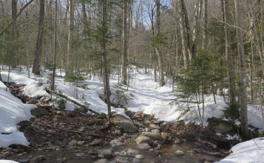
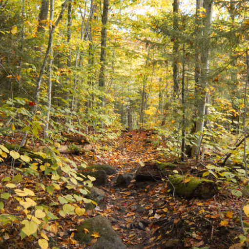
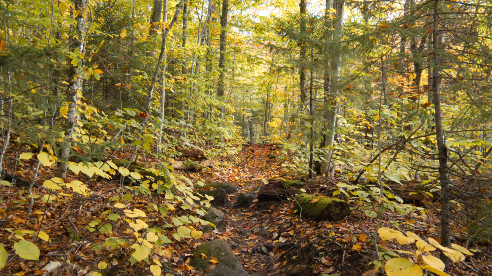
Not long after, a couple hikers returned to their car. We chatted about conditions, and then about this and that. “Wear micro spikes” they informed me. The conditions higher up were great, no need for snowshoes. And so it was. I passed across some mashed potatoes early on, but as the hardwoods thinned out and gave ground to the spruces and other conifers, the snow really solidified. After I crossed the stream (obligatory hat tip to Dr. Egon Spengler) about a mile in, the footpath was very nearly exquisite. The clouds were still thin, there was a touch of sun, and warm air in abundance. Despite the snow still spread underfoot, the signs of spring shone. Soon too, the sprouts shall surge and spread, and songbirds sing.
Though she be but little, she is fierce…
With all this, I just wanted to move quickly all afternoon. Lately, between my plantar fasciitis issues tamping down, and the weather clearing up, I’ve been running more and more regularly. Perhaps I should blame that. For me, there’s a sublime joy in feeling my body move quickly through space. If I had to explain, you would not understand. The pain of dragging air into and out of my lungs eclipses the burning in my legs. All that is sweet misery, of the most cleansing kind.
There was a lot of sweating. No shortage of huffing and puffing. The trail is very straight-forward, and in many parts, straight up. This one doesn’t do switchbacks well, nor does it do “cross this easy-going plateau” really at all. Thankfully, it’s mercifully short, if you can call 2 1/2 miles of concerted effort “short.” At the view (about halfway up) I didn’t really see much that was worth slowing down for. (And yet, it probably accounted for at least five minutes of my time!) I pressed onward, sweat dripping from my brow as if it were high noon in mid-July.
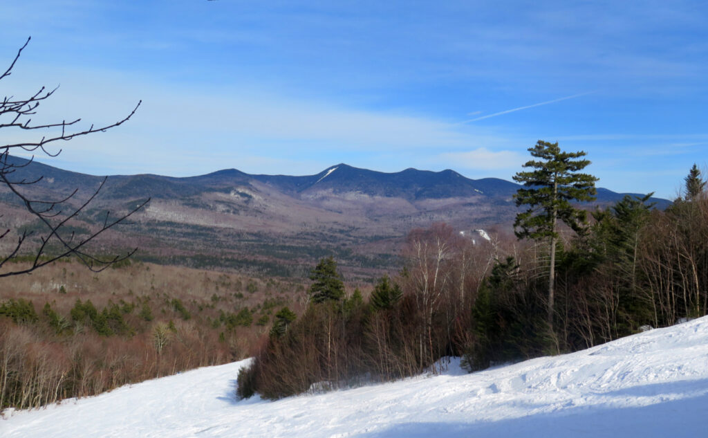
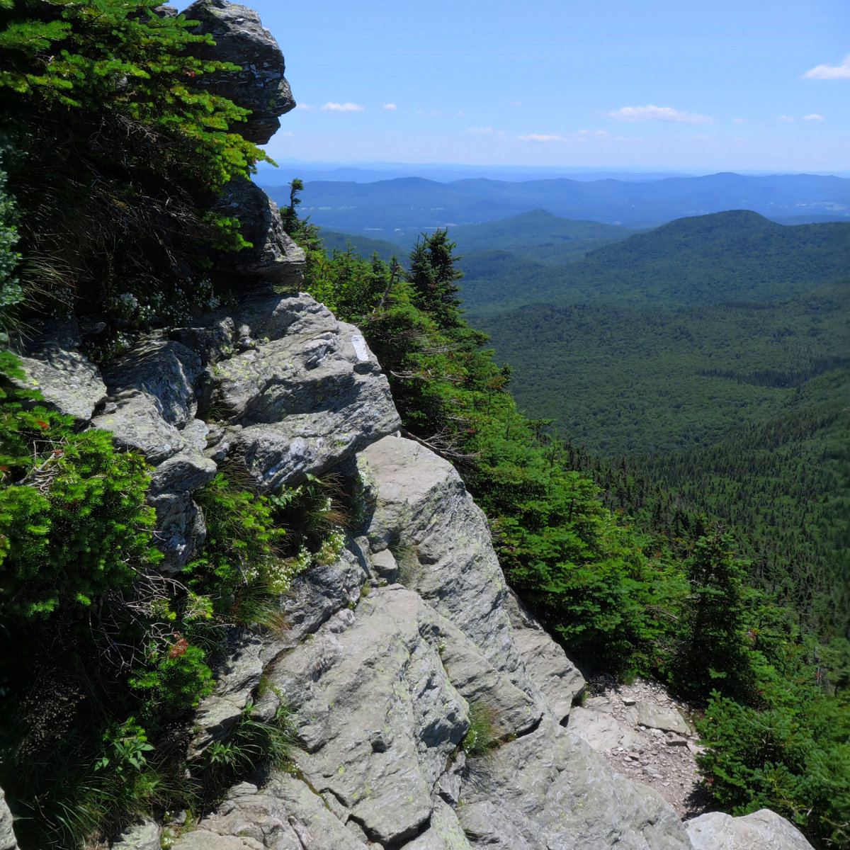
I hit the summit not much more than an hour after I started out. Moving quickly just felt right, and it got me to the top in short order. I was wiped out. I was full of energy. I felt revitalized. (Do I contradict myself? Very well. Hear my barbaric Yawp!) I looked out over Waterville Valley, the nearby peaks, and beyond. I saw, through the trees, Franconia Ridge, Cannon, and the Pemigewasset Wilderness. Incomplete, irregular, but whatever. On Lafayette, you get the views that you want. On Tecumseh, you take the views that you get.
I like this place. I could willingly waste my time in it.
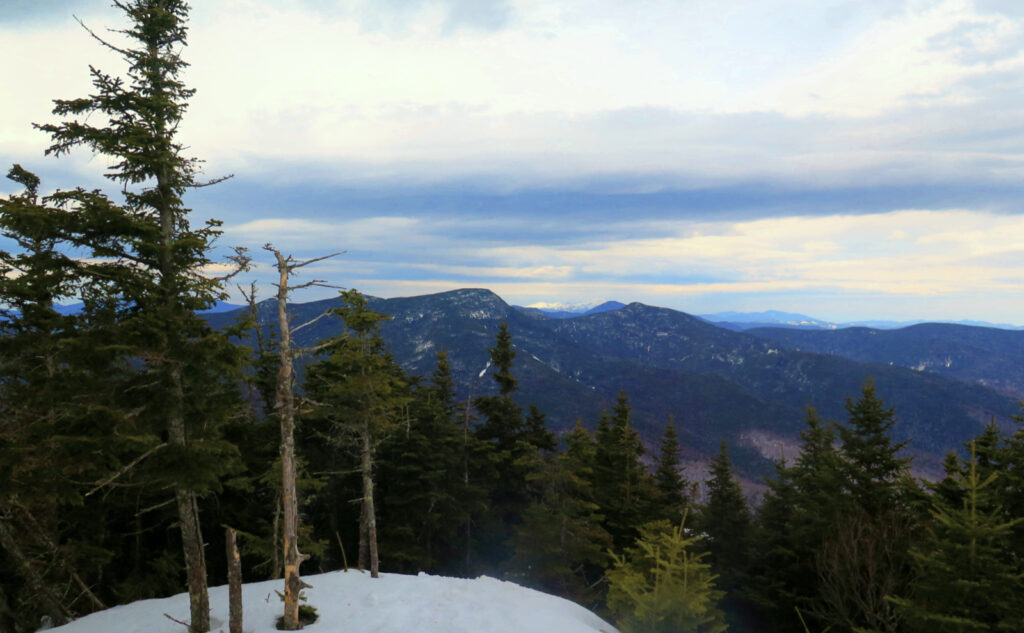
The summit was the summit. By this time, the clouds were thickening. I’d enjoyed the sun on the drive up, but no such thing remained now. I’ve long appreciated that the Whites create their own weather, and today was no exception. A quick shot of Mt Washington, one of the ski area below, and there was nothing left but to turn back for the car. I wasn’t racing an approaching storm, but at the same time, the views don’t leave a lot to hang around for.
This was the way to come back to the Whites. I took last month off from my grid because I needed that change. Given the issues I’m having with my snowshoes, I really didn’t want to chance the conditions that I “might” experience on something like Adams. Maybe I’ll head up there in a couple weeks when more of the snow has reliably melted. Stay tuned.
Tecumseh is in many ways the worn flannel shirt, the beat-up pair of jeans, of hiking in New Hampshire. Comfortable. Not at all glamorous. (Technically, not even a four thousand footer.) But sometimes, it’s just what you need for a perfect lazy afternoon.
As always, stay safe out there.
Nuts and Bolts: Exit 28 off 93, and follow Route 49 northeast until you see the signs for Waterville Valley ski area. Turn left onto Tripoli Road. Head straight to the base. Ideally, you’ll park in lot #1. You need to drive a fair bit to get from the highway to the ski area. It’s a long, mostly straight road. Please resist the urge to “make time.” Relax. You’ll get there. Enjoy the scenery along the way. (That’s why you came here, right?)
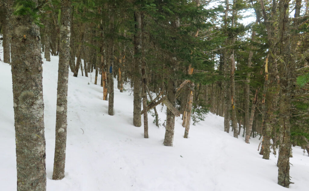
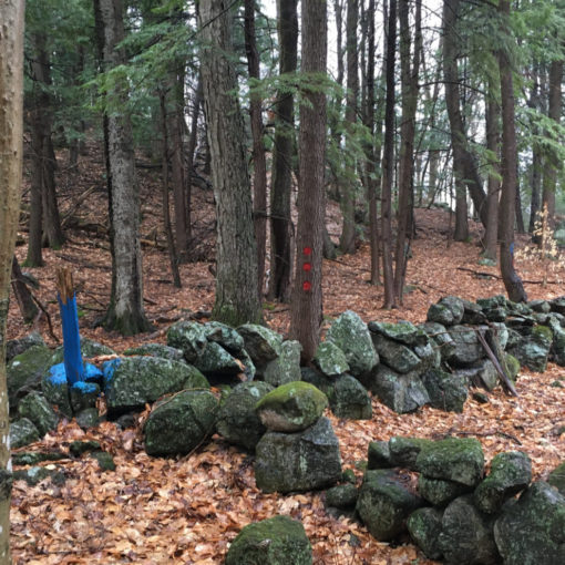
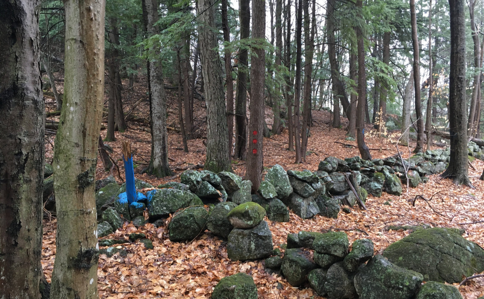
Trailhead will be on the north side of the driveway, across from the lot #1 sign. Look for a typical brown and yellow trail sign. I can’t recall seeing a kiosk this time, but I didn’t look. Blazes are yellow, and fairly unnecessary. The trail is very well kept. In the summertime, there are literally dozens upon dozens of stone steps throughout. In the winter, the trail gets gobs of traffic. In terms of route-finding, this one’s a cinch. The White Dot trail on Mt Monadnock is harder.
On the return to your car: Note the summit trail is a loop. Also note that the Mt Tecumseh trail covers both sides of the mountain. As I write this, the gate closing off Tripoli Road beyond Livermore will likely remain shut for another 6-8 weeks. Be sure on your descent that you’re heading down the correct half. It’s a very long walk if you get this wrong. If you parked at the ski area, be sure you’re passing the junction for the Sosman trail within a few minutes following your departure from the summit. You really don’t want to screw this one up.
If you enjoy reading these posts, please subscribe — stay in the loop! Your email will only be used to alert you of new posts — typically 1-2 times per week. I will not use or share your email for any other purpose without your express permission. And feel free to share via social media using the buttons below.
Find me in the mountains, on this blog, or on Twitter: @Protean_Hiker https://twitter.com/Protean_Hiker/
Help support this blog! Visit www.photos.proteanwanderer.com to buy some of my signature images.
One thought on “Trip Report: Hot-cha Mount Tecumseh! ”