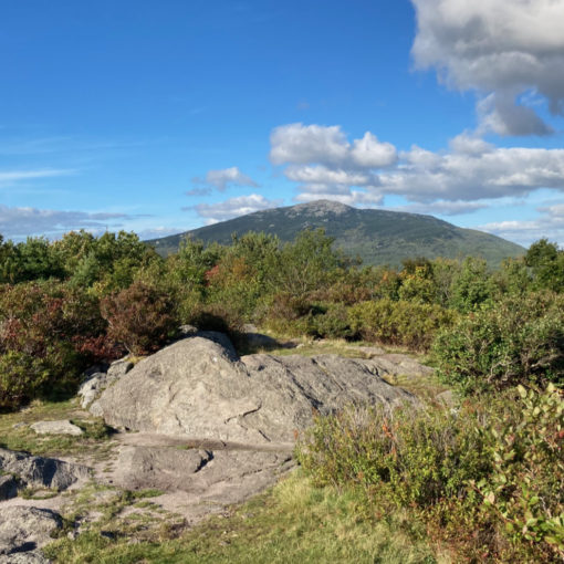
Bondcliff (4,265 feet) Mt Bond (4,698). Lincoln, NH. 2021-11-03 (Wednesday.)
Via Lincoln Woods, Bondcliff Trail. 22 miles round-trip.
30 dF at the trailhead, 42 dF at the summit. Winds were negligible in the trees, about 5-8 knots at the summits. Mainly clouds, occasional sunny moments, and a dusting of snow late in the day.
Trailhead: 0730. Bondcliff summit: 1215. Mt Bond summit: 1315. Car: 1730.
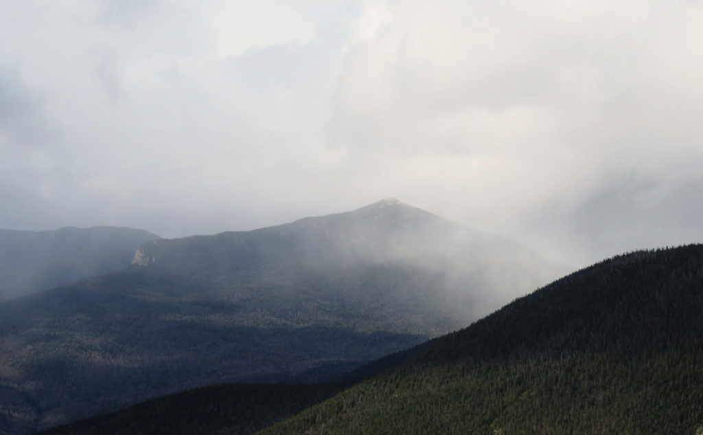
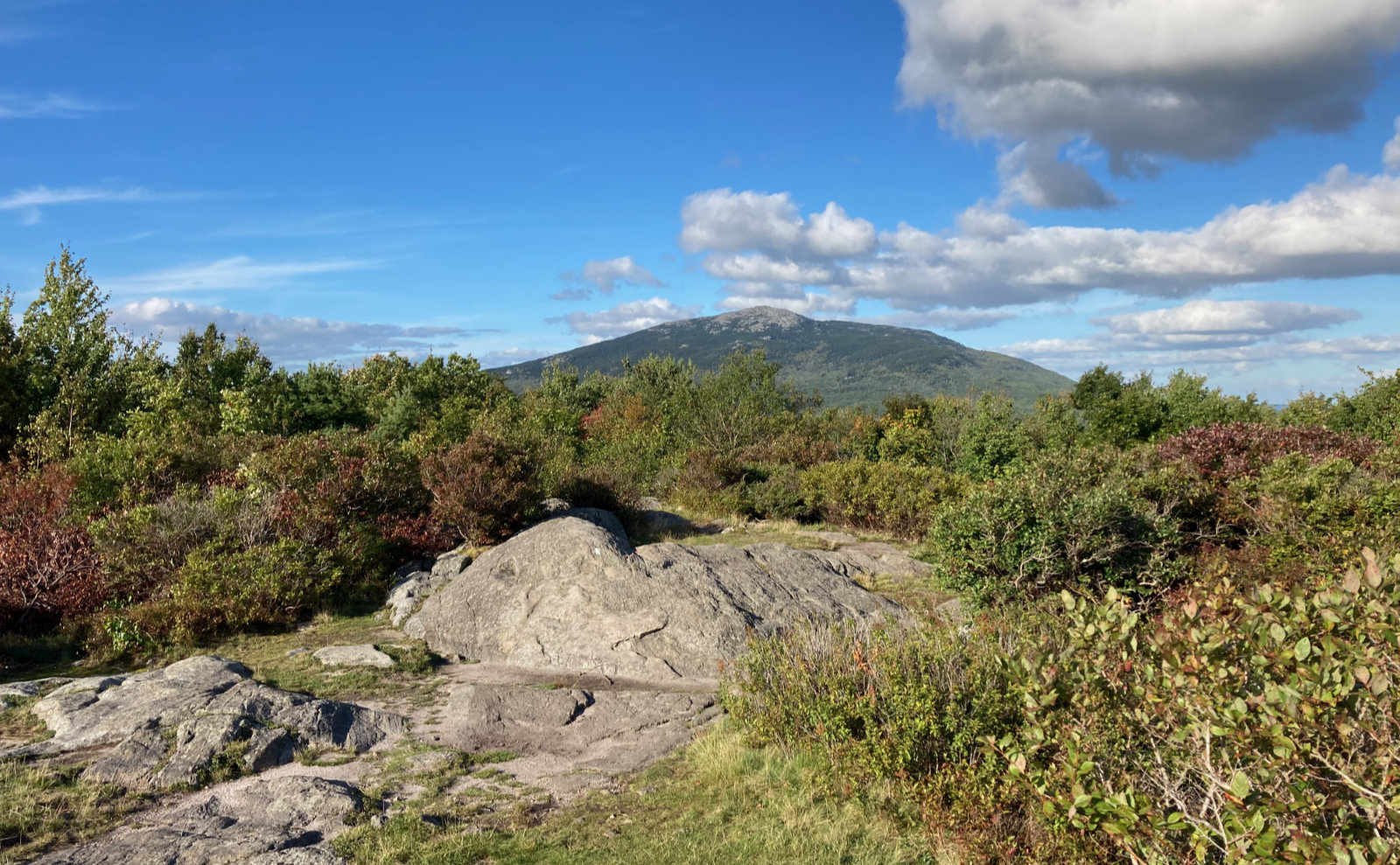
Bounding over beautiful Bonds.
Dearly beloved, we are gathered here to lament the passing of summer… for good, it seems. There was snow, falling from the sky. There was ice in some places. It wasn’t particularly warm out, either. The wind, while not particularly brisk, still had that edge to it that said “courtesy of Jack Frost.” It’s a matter of weeks, if not days, before snow falls in earnest.
That said, it’s still autumn, and 99.999% of the trail was still dirt and rock. The water for the most part was still wet. On the one hand, this meant water crossings weren’t completely trivial, but on the other hand, I didn’t skate across icy rocks.
I’m 202 into the grid — that’s 576 peaks in total folks. There will be a lot of hiking up 4,000 footers in wintertime. No getting away from that. Compared to any of the summer months’ totals, winter is very obviously lagging behind. Warm clothing remains very much a part of my hiker wardrobe.
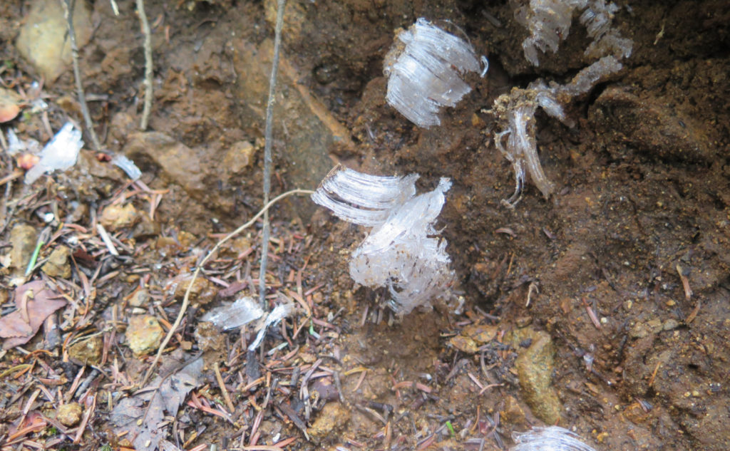
And so, this hike was very much a taster of what’s to come in the approaching months. It wasn’t terrible, not even close. But I did have to don layers. What, then, was there to see? The beauty of change. The passage of time. There were so many dichotomies on the trail everywhere I looked. Beyond the normally fascinating things, there were lingering traces of summer, even while it was plain that colder days are upon us.
Waking early to go walk through the wardrobe.
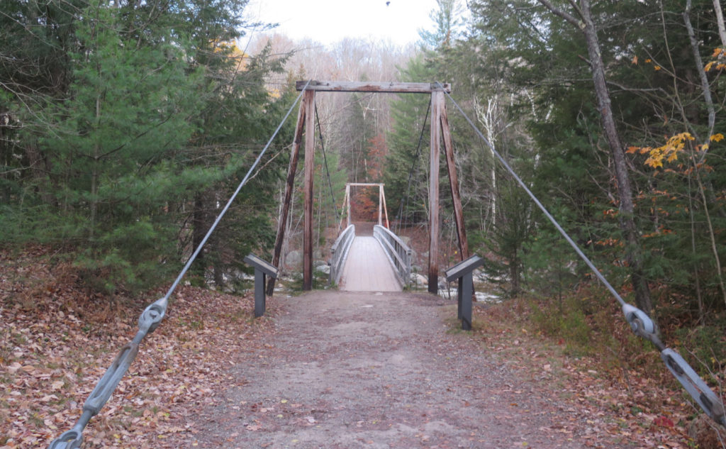
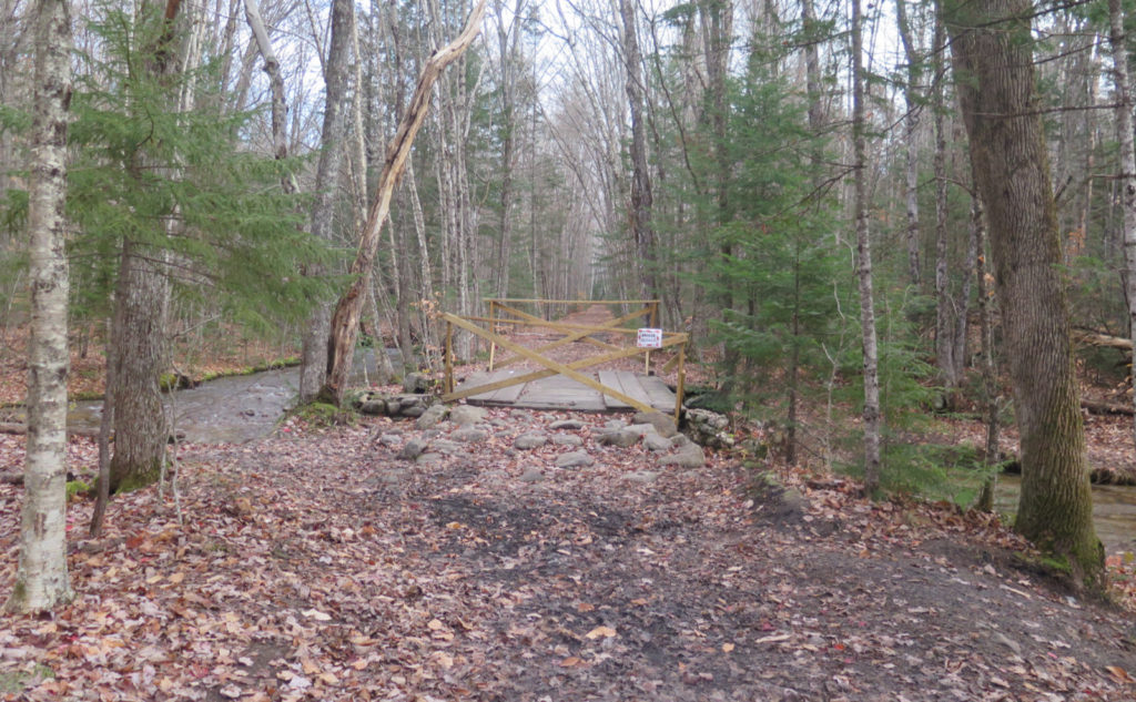
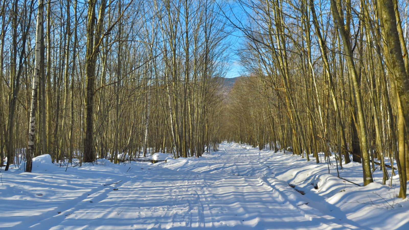
Anticipating a long day — that’s what all my previous trips to the Bonds looked like — I got to the trailhead just as the sun was rising. I often think of bridges on the trail as doorways into another world. You never really see them deep in the woods, but nearer the trailheads. Perhaps appropriately, the bridge at Lincoln Woods rises up, less like the wardrobe or the rabbit hole, and more like a castle’s gatehouse. It’s a grand entrance into the world beyond, even though it’s a bit wobbly as you approach its middle.
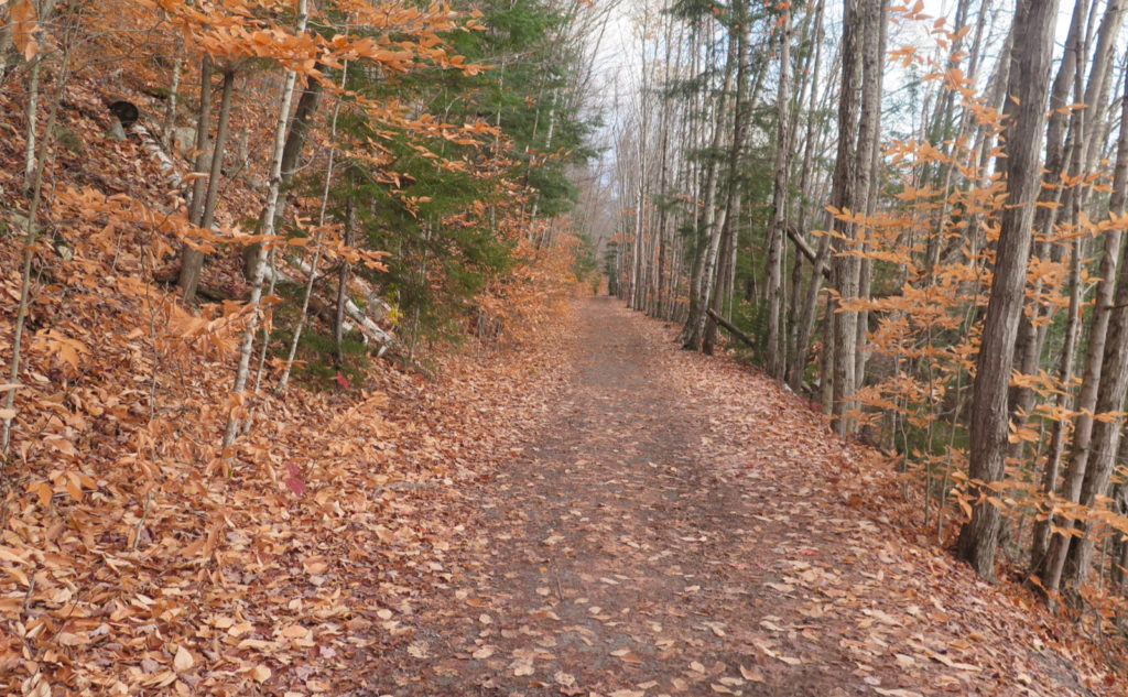
Turning right off the end of the footbridge, I strode down the Lincoln Woods trail. So inviting in its flatness, its width, and its straightness. I still remember coming out at night, with townsfolk all around. Taking the dogs out, that kind of thing. Forevermore, this trail has been etched in my consciousness as the locals’ haunt, and that imbues it with a certain friendliness in my mind.
Ghosts of loggers past?
With that in mind, though, I still crossed over the railway sleepers and other ephemera that recalled JE Henry’s intense exploitation of the area. The land will retain those scars for decades to come, if not centuries. What, though, would have happened had logging not occurred? What would those trails look like today? Would there be any? I have no ready answers, but looking toward other places, like Crawford notch, and thinking of people like Kate Sleeper, who advocated for area tourism, we’d have something. I’m sure of it.
I was just shy of running down the trail, both knowing I had a lot of long miles ahead of me, and also just feeling plain chilly. Given my penchant for sweating despite wintry temperatures, I’d intentionally under-dressed, expecting to be warm soon. And indeed, after about 90 minutes, I’d done just that. I think I was on Bondcliff trail at that point, though… burning calories quickly was getting the home fires burning, but wow, warmth was taking its sweet time getting moving.
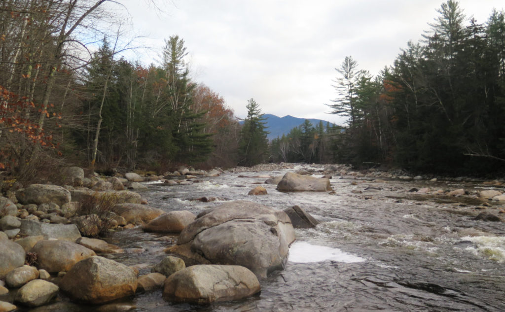
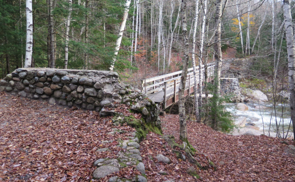
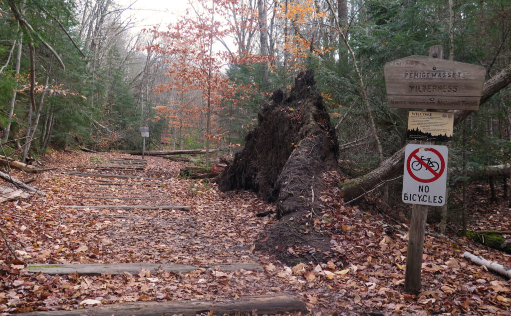
Crossing the bridge over Franconia Brook… wow, that still feels like a magical moment. A mixture of wonderment and trepidation. Miles away from anyone. This is real. But also, I’m miles away from everyone. Serene. It’s like a switch got flipped. I looked to the side and saw Mt Flume in the distance, over the brook’s gushing water. Did I mention serene? The sun was creaking through the clouds, making the scene a little warmer. I continued on past the Pemigewasset Wilderness sign, through the looking glass.
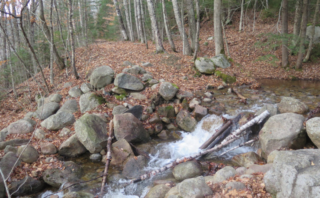
Time to chase wet rabbits?
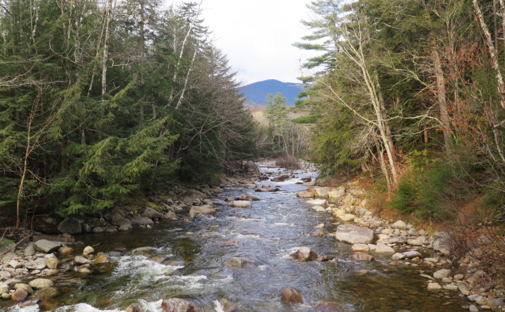
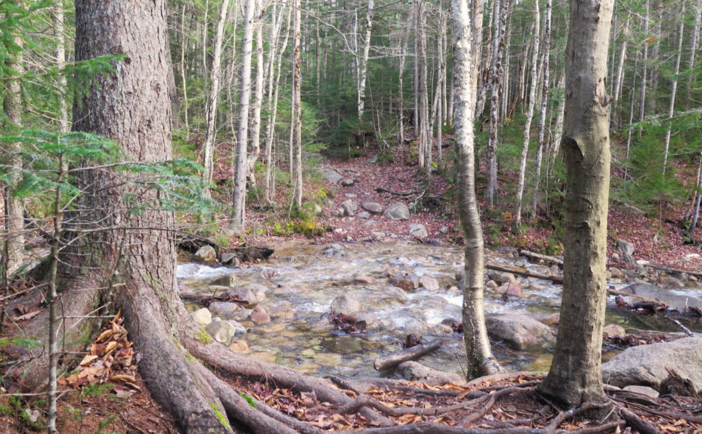
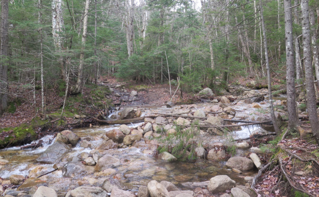
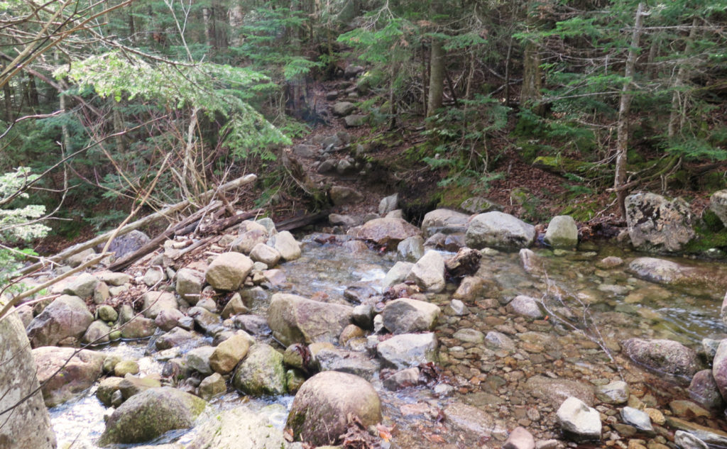
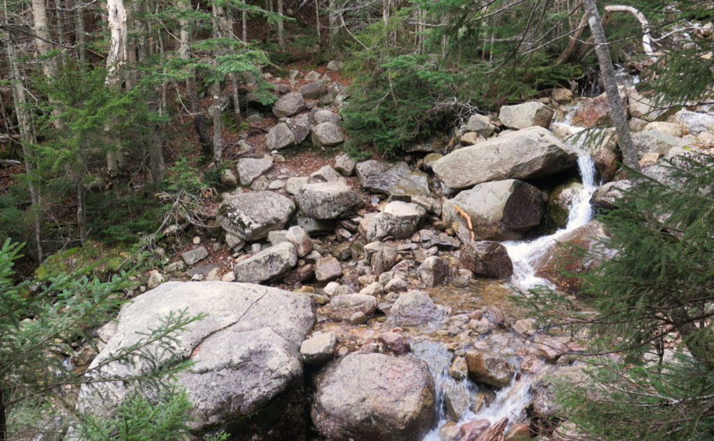
One thing that took me a little by surprise was the water crossings. I knew they were there, but the intensity was eye opening. Maybe I’ve been really lucky in never seeing them this full and robust. Maybe it was the added risk of being wet on a day that really never warmed up much at all. But all told, I probably lost at least half an hour to figuring each one out. Oh yeah, and because of all that water coming off the mountain, the trail was muddy. Sometimes it was firm enough to cross; most times, I looked for a way around, and that gobbled up time. Looking at the map, Bondcliff Trail follows Black Brook for a fairly long way. As nutty as the crossings got, there was the babbling of its water, bounding down over rocks and whatnot, keeping me company. At least I had that.
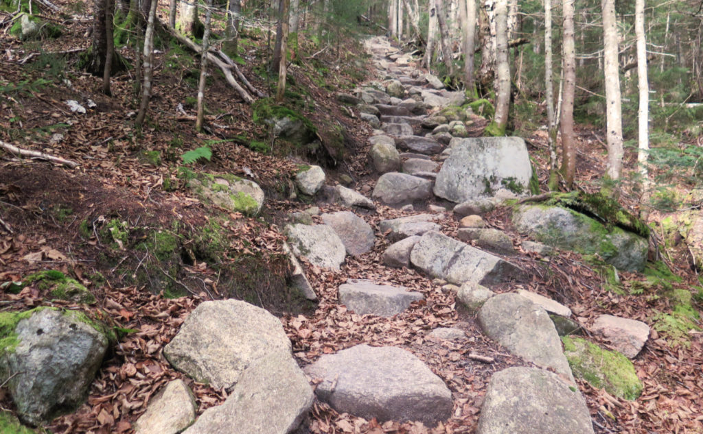
Being left in the wings of my posts lately has been the plantar fasciitis. I don’t want to downplay it, yet at the same time, it wasn’t the problem I think it could have been. There was a small amount of stopping and stretching from time to time. While there wasn’t any kind of a flare-up, what wasn’t helping things was the distance and the rocks. Wow, once things started going uphill, the rocks increased in number. It wasn’t Daniel Webster Scout trail level, but it was much rockier than I ever remembered.
Then you look around and realize the differences everywhere.
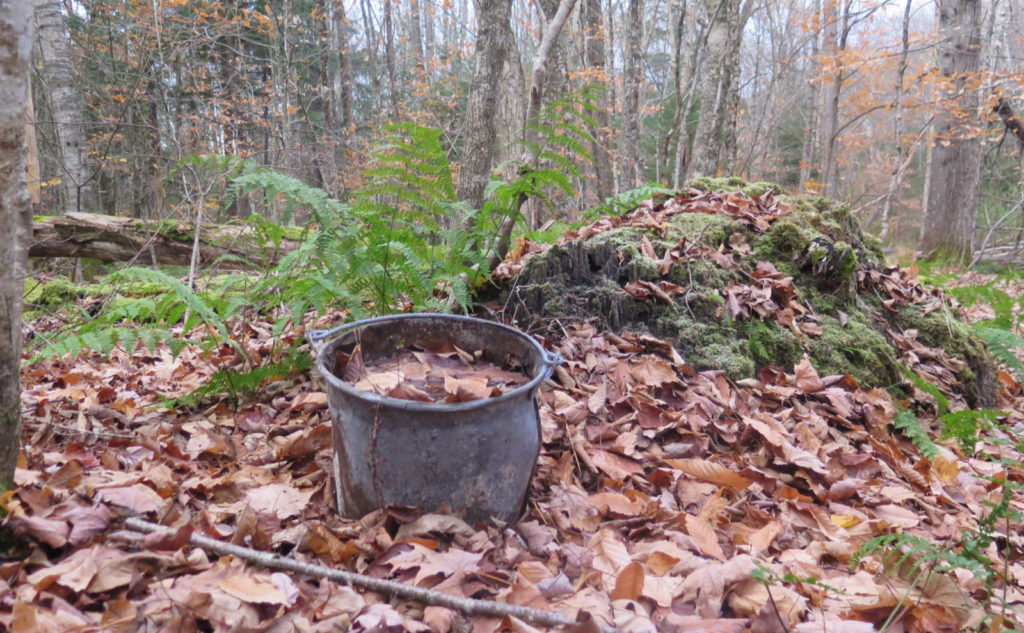
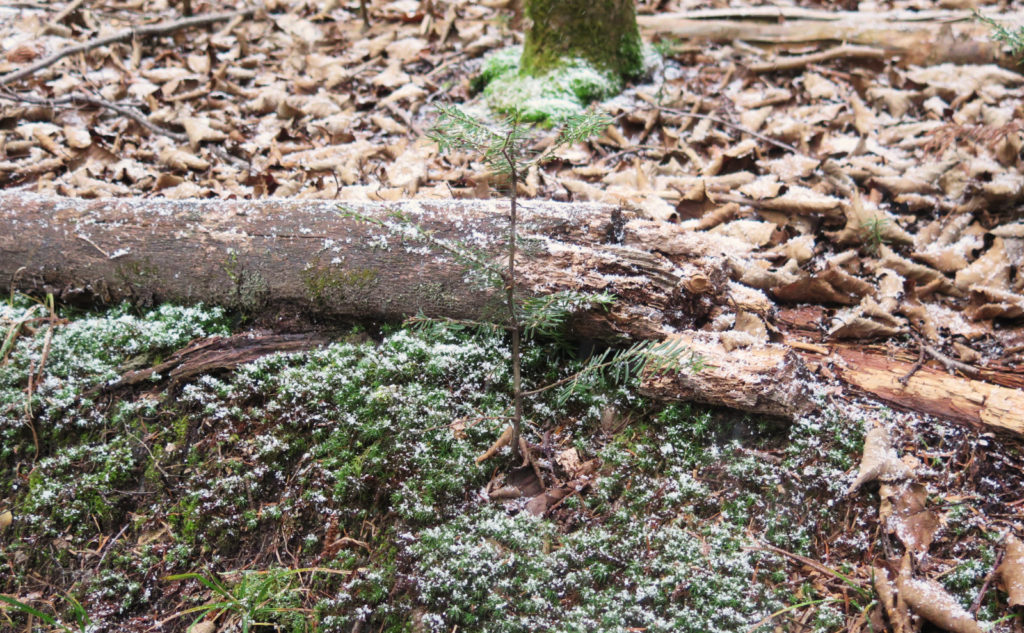
Down low, there was a lot of open deciduous forest. For the most part, I saw tree trunks, and a lot of leaves. This isn’t the summertime where there’s green stuff everywhere. I could look to the left or right and see deep into the woods either way. But oddly, once I started climbing, that changed in some not so subtle ways. There was moss. There was still a lot of ferns hanging on. It was surprisingly green. I’ll gather almost everything I saw was either dead or dormant at the point, but still, it was verdant. Against the dead leaves everywhere, it was eye-popping.
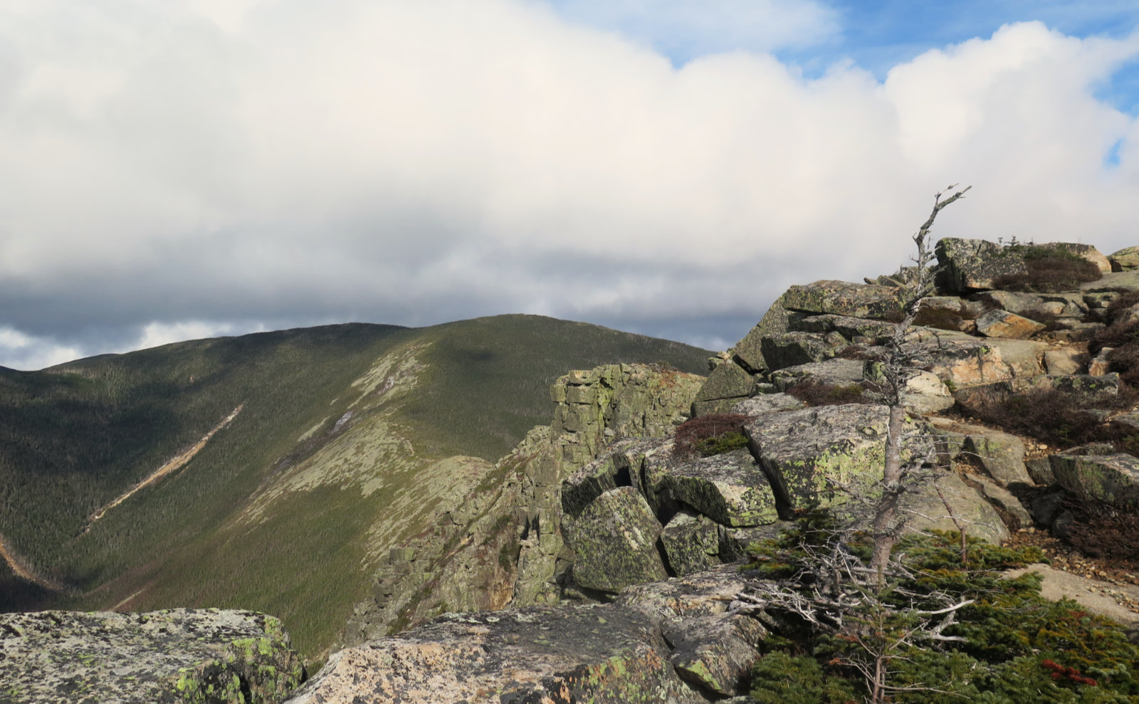
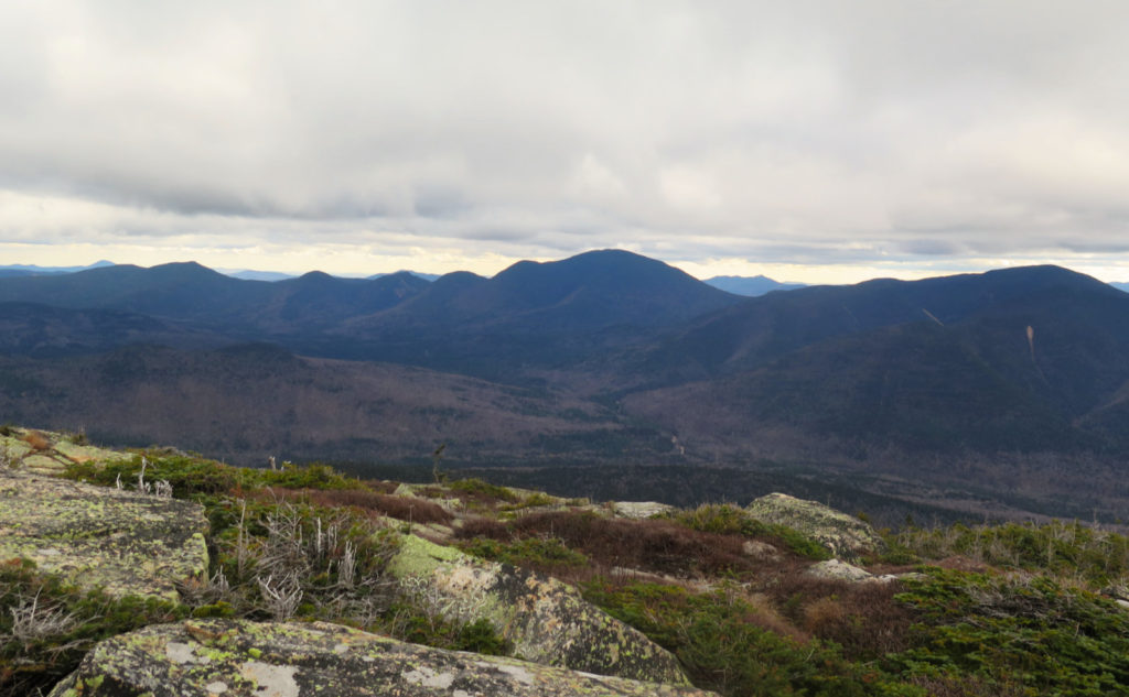
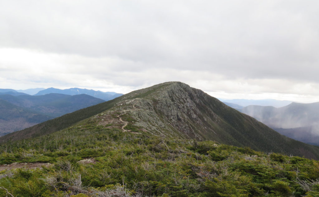
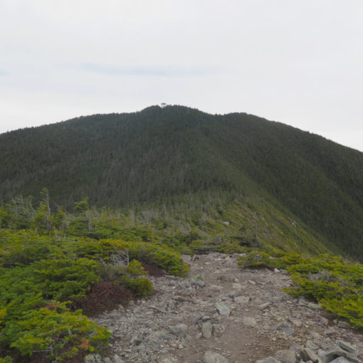
I got to the “Hillary Step” ledges, just below the summit, feeling pretty wiped out. I’d changed my pack for this trip, after seeing the weather. Colder weather means more gear, which means bigger pack. But also, it was a long, arduous walk in, and then the actual climb. Hand over foot, I carefully made my way up the ledges. Shortly afterward, I was on top, walking along the cliffs. The worst of this part was behind and below me. I was on Bondcliff, and there was actually something of a view.
You meet the nicest people in the mountains.
Bond was still in front of me. I’d hoped to snag West Bond on this trip, too, but a combination of being quite tired and sore, plus the steady approach of night called all that into question while I was still below tree line. Crossing the col, there was no question. I’d be well and truly arriving at my car in the dark, were I to add West Bond. Coming up from Zealand, I could get it and West Bond on a much shorter trip, mileage-wise. And I want to try that one, just for the sake of scoping it out for wintertime. Stay tuned. The long and the short of it this day, though, was it was just plain smarter to declare victory and not be greedy.
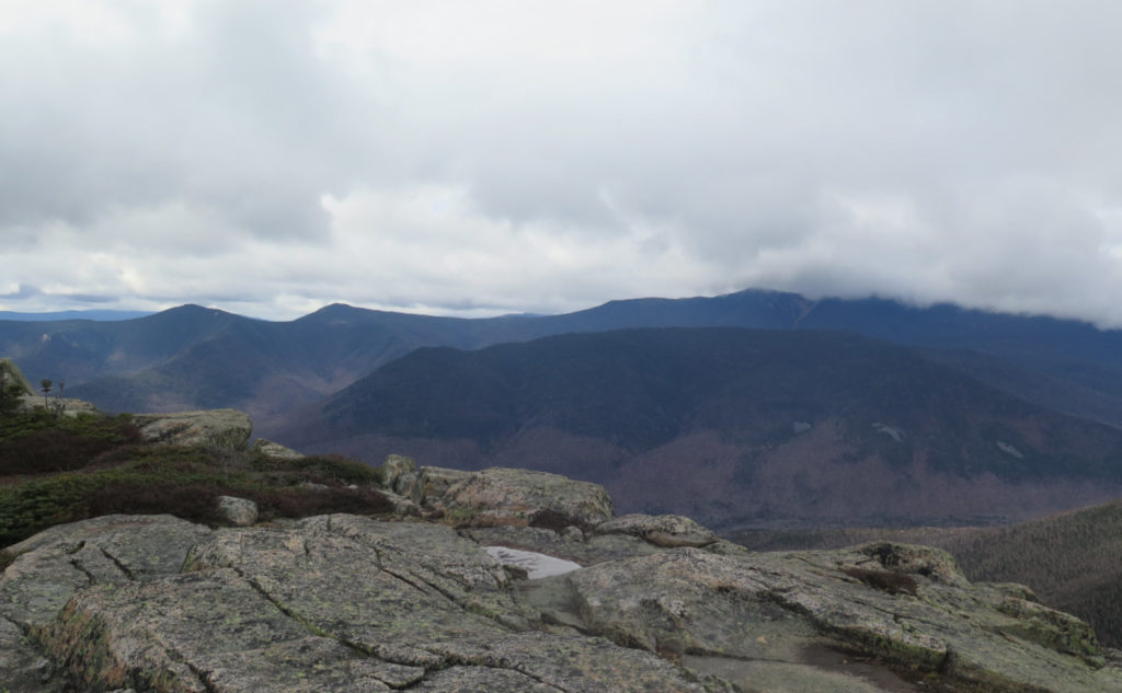
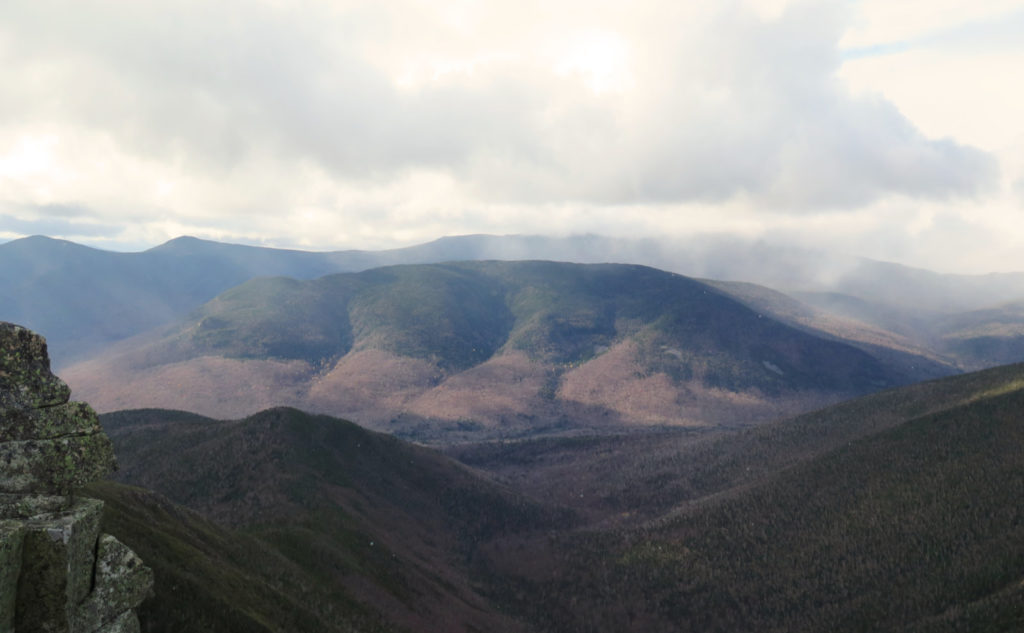
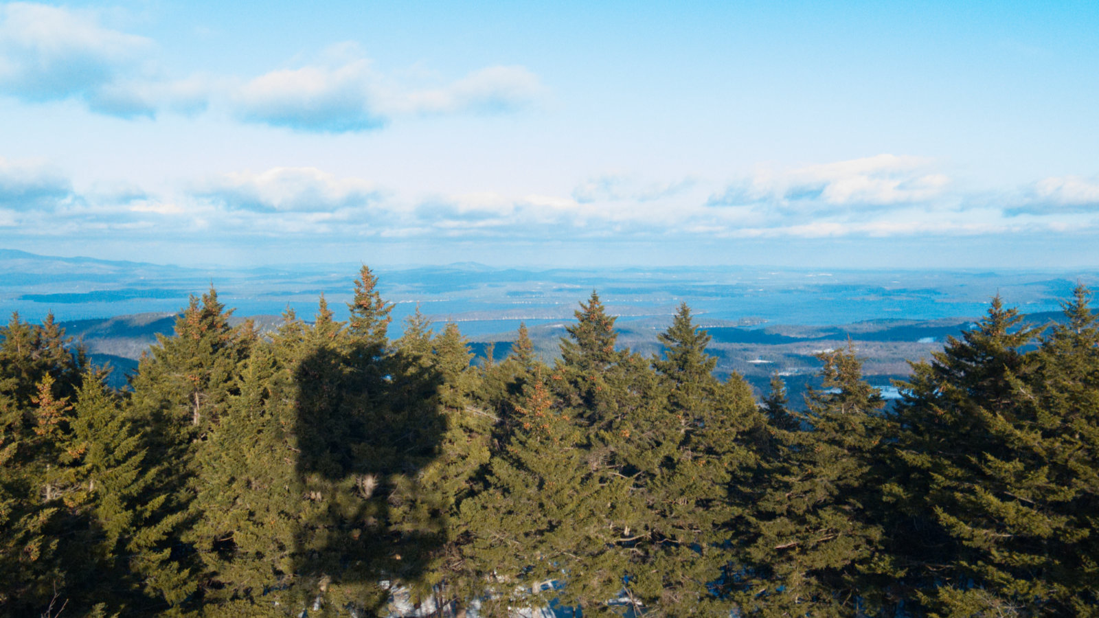
The summits always attract the attention. Why never the col? OK, they represent the nadir, not the zenith. They’re a nadir that’s harder to get to than the more simple “height of land” that lies down below. People do talk about Jefferson’s Lawn, or the Lakes of the Clouds. They’re not really on the col, when you think about it. There is Edmand’s Col, but none others come to mind. Walking across to Mt Bond, though… honestly, I’d make that whole area a destination. The views are attenuated by the neighbors, it’s true. But I’ve always found an interesting serenity there. The immediacy of being able to almost touch the nearby mountains. The views of the Pemmigewasset Wilderness on all sides. On the Bondcliff side, things drop off really fast. And you’re low enough that you’ll never get a cell signal… not in a million years.
And then, I ascended Bond. It was inevitable.
There’s not much to say, really. On the summit of Bond, a trio of hikers were enjoying their lunch. I sat with them for a spell, enjoying a snack. All of them clinicians, we enjoyed pleasant conversation all the way back to the car. The miles melted away… I won’t say I wasn’t still aching by the time I got to the car, but companionship does keep one’s mind off those things. It was a good day. Tiring. I ached all the way home, and a good bit into the next morning. But wow. Just wow.
As always, stay safe out there.

Nuts and Bolts: Head to the Lincoln Woods trailhead. From points south, take 93 north to exit 32, and drive about five miles out of town. Once you cross the bridge over the East Branch of the Pemigewasset River, turn left into the parking area. The trailhead is over by the ranger station. I like the AMC’s map #2 for that area.
Blazes are blue and spare, but anytime I was wondering, it seemed a blaze was nearby. Don’t count on this, obviously. The trail is fairly easy to spot, almost everywhere. It’s a long hike, so bring plenty of everything, budget a lot of time, and expect little things to add up. A little extra time at this water crossing will mean a little extra time at the next one (it’s all the same water coming down) and even the mud puddles add up to make you more tired than you’d expect. Be prepared to attenuate your trip, and don’t forget, as far in as you might get is as far out you’ll have to hike to get back to the trailhead. Budget time and energy appropriately.
As an aside… I picked up some garbage and carried it off the mountain. Honestly, I don’t think the gods were happy it was there instead of a dumpster. Notably, someone concealed a plastic container from a sandwich from 7-11. Setting aside the wisdom of eating gas station sandwiches, this was placed under a rock at the river’s edge. Wow, no bueno. I often pick up hair elastics, or the rubber tips from trekking poles (as I did as well on this trip) sandwich baggies, and whatnot. In a million ways, I could explain away those. But food containers stuffed under rocks?
Riffing on that… a garbage baggie takes almost no space in your pack, and weighs nothing. But picking trash off the mountains will win you good juju, and perhaps the mountain gods will smile. Either way, you’ve left the trail that much better off for your having passed through. It’s a rare day that I have to haul off more than a few ounces of trash. Usually it amounts to wrappers and other small things. But I encourage everyone to join in the effort. Many hands make light work. The mountains will be better for our passage.
If you enjoy reading these posts, please subscribe — stay in the loop! Your email will only be used to alert you of new posts — typically 1-2 times per week. I will not use or share your email for any other purpose without your express permission. And feel free to share via social media using the buttons below.
Find me in the mountains, on this blog, or on Twitter: @Protean_Hiker https://twitter.com/Protean_Hiker/
2 thoughts on “Trip Report: Why is the Bondcliff col interesting?”
Oh, I was waiting for this report—my absolute favorite hike in the NE
And thanks for the weather report!!
I likely would have bagged West Bond if I had a companion. My hang up was that the water crossings were just too close to hairy that I didn’t want to be in a position where I’d have to stare one down in the dark. But if such isn’t your issue, I’d say go for it if you have enough gas left in the tank.