
Mt Tecumseh (3,997 feet). Thornton, NH. 2021-10-27 (Wednesday.)
Via Tecumseh Trail. 5 miles round-trip.
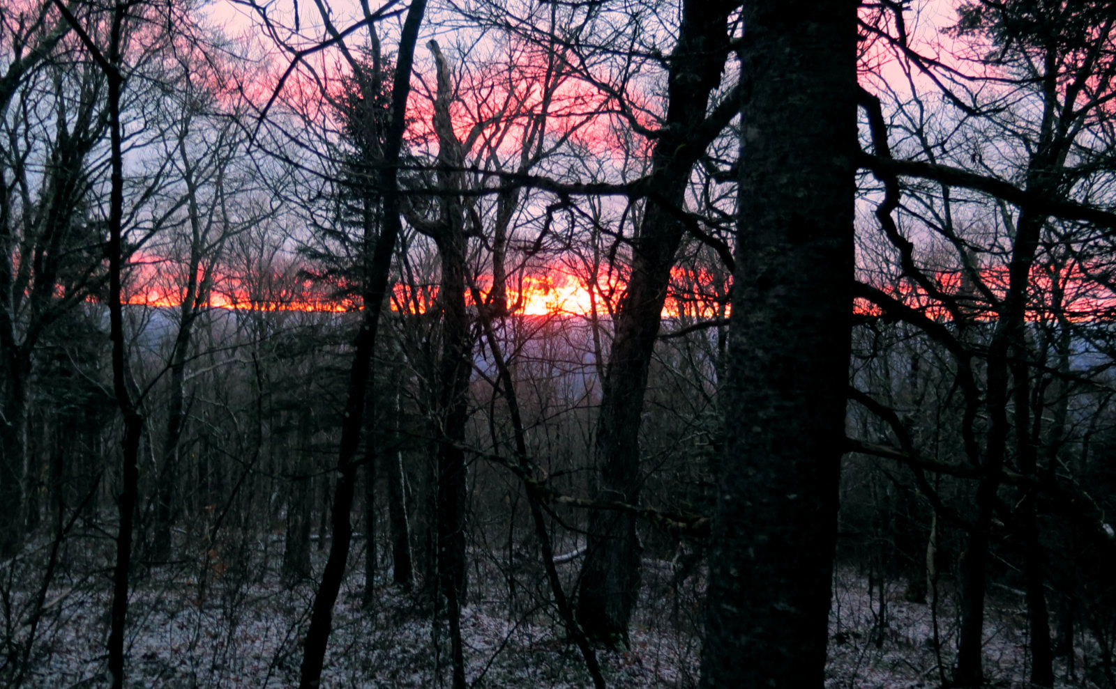
52 dF at the base, winds were mediated by dense tree cover, but making noise at the treetops. Cloudy, with occasional, weak attempts by the sun to break through.
The AMC White Mountain Guide says 2 hours 20 to the summit. I took a pretty leisurely walk in getting there, so consider that if you’re comparing my usual times to yours.
Trailhead 1100. Summit 1315. Car 1515.
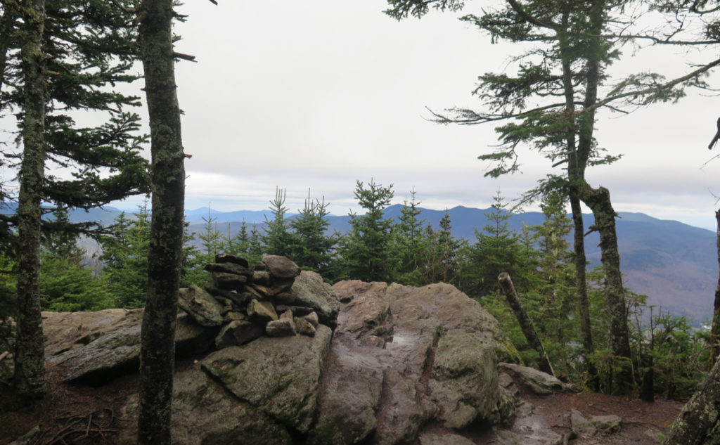
Tripyramids from the top of Tecumseh!
When I went to bed last night, I was thinking of Passaconaway for the last hike of the month. But the weather was the sticking point. Forecasters called for cold, sodden muck. I wasn’t looking forward to eight hours of that. And so, this morning, I consulted my spreadsheet of doom, saw Tecumseh was in the offerings, and made the switch. I’d be going up a largely viewless mountain, sheltered from the wind, with only rain to worry about. As things turned out, the weather cleaned up. Passaconaway would have been a good option. Of course, I wouldn’t find that out until well into my hike up Tecumseh. Story of my life.
But what makes good?
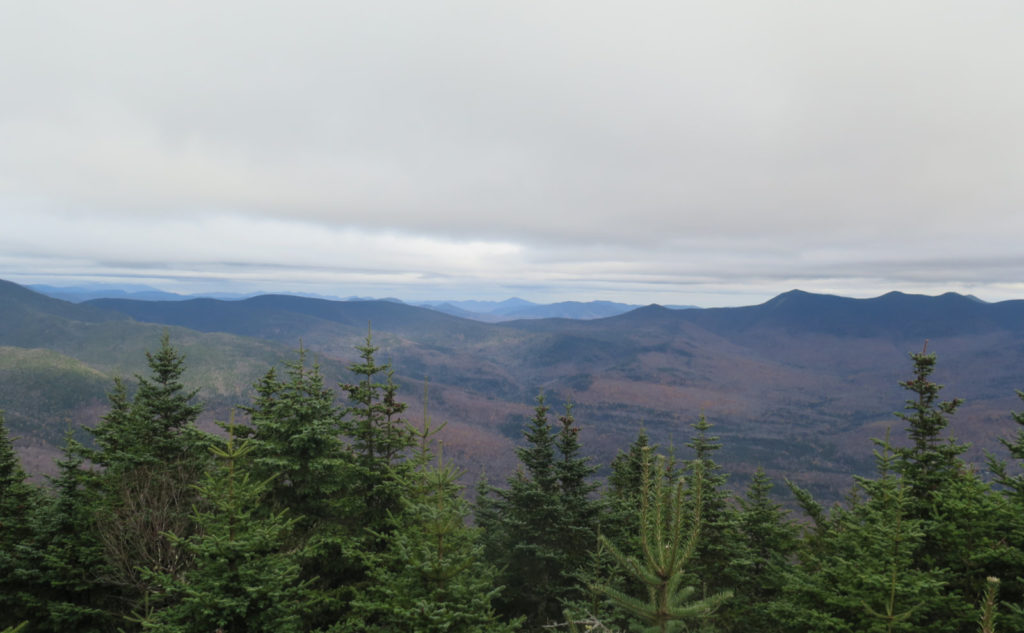
Back at my car at the end of the hike, I was utterly thrilled for the stroke of luck that changed my mind this morning. It’s a small thing, but the weather was actually reasonable, all day long. Cloudy, to be true; no long views, but certainly distant views. (And to be clear, Tecumseh isn’t the home of wide views, but what it’s got can indeed go long.) But that set aside, I saw something that made my day. Tripyramid. The clouds were high enough that views were “right there” to be had, right up to the summits. The meteorologists pooched this one — they’d called for a thin drizzle all day long. I’m not complaining. All that meant I had fine views across Waterville Valley. Sublime!
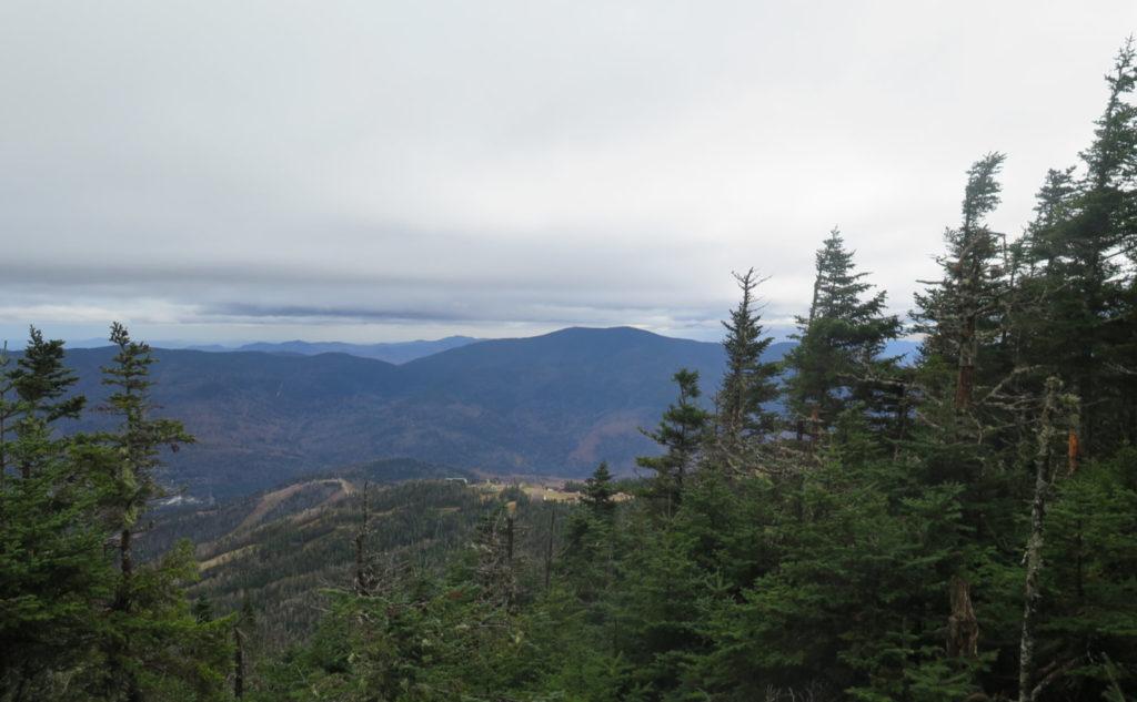
Besides that, I got nice views (a bit trimmed, but hey!) of the Osceolas. Part of the enchantment is that they’re very nearby. When I stood on Square Ledge, gazing at the immensity of Passaconaway, it changed my way of thinking about that mountain. Similarly, on Tecumseh, you see Osceola differently. And then looking to my right, there was Sandwich, in the near-distance. Way off, Kearsarge North, with its almost sculpted cone. The clouds were too low to offer more commanding views, but there was still a lot on tap. I mean, even just seeing the sweep of the valley, feeling the lay of the land in a way you can’t by looking at a map. Wow!
So what’s the big deal about Tecumseh?
This is going to sound silly. I was “in the neighborhood” just last week. What’s so special? Well, that nearby hulk of a mountain, for one. From my ill-considered first foray up its north slide, to my eventual topping out on that route, Tripyramid continues to captivate. At first I thought it was a beast of a hike. It took me some amount of time, but I made peace with the mountain, and now it occupies a special place. Maybe you had to be there, but it matters to me. That mountain has a lot of subtle things going on, and it’s a different hike from any of its approaches. From Tecumseh’s summit, look across the sweep of Waterville Valley, and there’s Tripyramid’s majesty, waiting for your examination. The leaves are a bit hit-or-miss right now, but peppered about in the valley below were pops of yellow, lending some color to the scene. Nice.
By all objective rights, Tecumseh doesn’t have a place on the 4,000 footers list. By all emotional rights, it does. I’m in the middle of the argument. It could, it could not. I’m going to hike it regardless. (Pro tip: in the future version of the 48 list, I think Guyot is going to replace something — and on that, my money is on South Hancock. So maybe consider hitting Guyot’s summit anytime you go out and nail down the Bonds if you’re even remotely considering doing the grid.)
Overall, what remains is that Tecumseh was my first. By gum, whether or not it stays on the list, I’ll continue doing it. There’s history.
In any case…
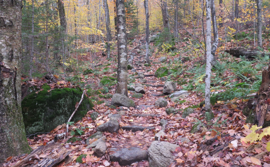
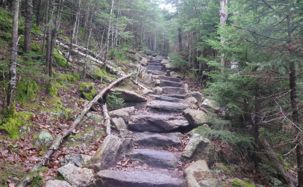
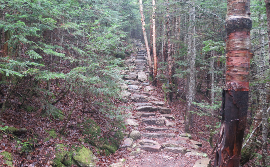
This is not a hard hike. It’s strenuous, for the fact that it basically goes “due up” from the moment you step out of your car in the parking lot. It’s essentially a fall-line trail that pulls no punches. However, if you hike it anytime that there’s not a whiff of snow on the ground, you’ll find a lot of the trail has stone steps, lovingly installed by the Waterville Valley Athletic and Improvement Association. Hoo-boy, dozens upon dozens upon dozens of stone steps.
So while you’re most certainly going to get the stair-stepper workout of a lifetime, it’s not at all a technical trail. But for a couple water crossings that are fairly simple, footing is quite sound, bottom to top. Trailfinding isn’t much of an issue — it seems weird to think, but much of the trail is an old logging road. (Then again, there’s a railway going straight up Mt Washington…) You could do a lot worse than to make this your #1 if you’re new to the four thousand footers.
One of the things that sticks in my head is that it’s a short hike. Welch-Dickey is right down the street. This might make a good pairing for those looking to challenge themselves, because it’s not totally nuts to think the two could be done in a day. Have a picnic lunch in-between by the river’s edge, and you’ve got a fine day out. Setting that aside, it’s 2.5 miles from the car to the summit if you park at the ski area.
Weather or not…
It’s been very famously said of New England weather that if you don’t like it, wait a few minutes, it’ll change. By the long view, this is pretty true. Skies are generally equal parts sunny, cloudy, and rainy (or snowy.) But forecasting has become pretty accurate. This day’s hike is a solid reminder that sometimes the mountains make their own weather.
The Mt Washington Observatory’s higher summits forecast called for highs in the mid-30s, in the clouds, with sporadic rain showers persisting into the early afternoon. And wind! They called for winds in the 80 MPH range early, only dropping to the 50 MPH range in the afternoon. Gusts significantly higher. Yikes!
My take on that forecast is that it’s tremendously valuable when hiking a bald summit that has some elevation to it. For sure Cannon and Franconia Ridge. Absolutely South Twin and the Bonds. It goes without saying that this applies, very totally, to the Presidential range.
But it’s a smart idea to look at the forecast often, and get a sense of how it compares to what you saw. I enjoyed mild breezes in the trees — they’re great at slowing down the wind as you get to the higher elevations. The temps as I got out of my car were still above 50 degrees. Not a hint of rain all day. Hike smarter, not harder. Tecumseh was a great fall-back plan for iffy weather, because it was short and sweet, easy to get in and out.
And on safety…
I occasionally see things that alarm me. The other day, hikers dressed, nose to toes, in 100% cotton. A week or three ago, a hiker without a flashlight, map, or compass. (Asking me the way, no less!) In years past, I’d blame simple poor preparedness. These days, I think it comes down to social media, apps, and the fact that a “flashlight” is on every phone. Folks, don’t be “that guy.” Not the least, but in New Hampshire, the state will bill you for your rescue if you’re unprepared. Just about every outfitter has classes. Take one. Live to hike another day. (And please, get a Hike Safe card.)
Anyway…
It’s not hard to hike all the trails on Tecumseh (although the Tripoli Road side is tough to access in the wintertime.) The trails aren’t hard. Hiking down the ski trails means your toes get mashed into the front of your shoes, but hey, the views are pretty good while doing so. I don’t think of whether it’ll remain a 4,000 footer, because it’s just a good outing that can stand perfectly fine on its own merits. Which is why I keep coming back.
As always, stay safe out there.
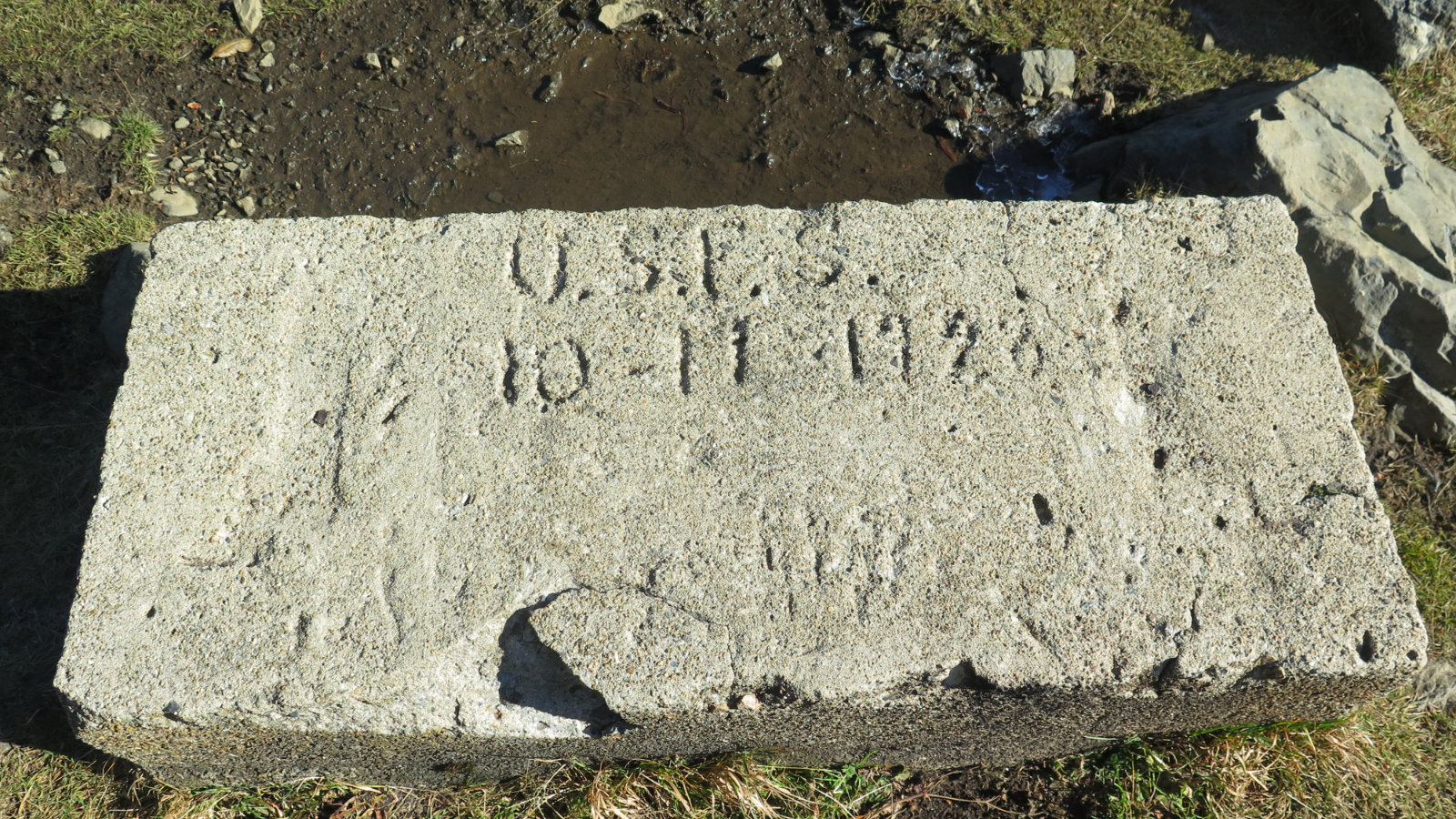
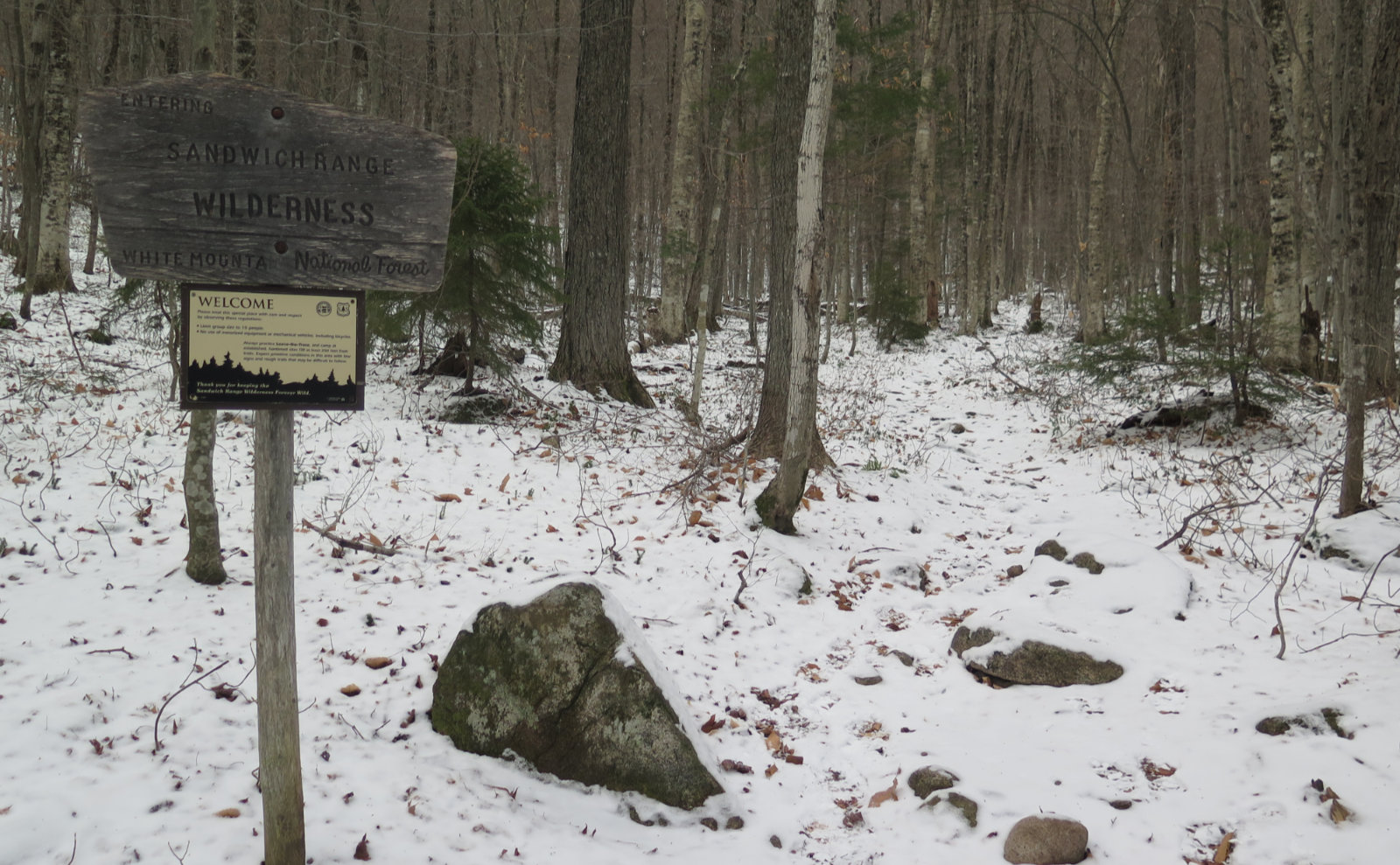
Nuts and Bolts: Take the Waterville Valley exit off 93. Follow until you get to the intersection with the very obvious “ski area that way!” sign. Turn left, and follow to the ski area. The road bifurcates and makes a loop around all the parking lots. You want Lot 1. Just as you make the left into the lot, note that there’s a hiker sign on the right, just at the edge of the woods. This is the trailhead. There is no kiosk.
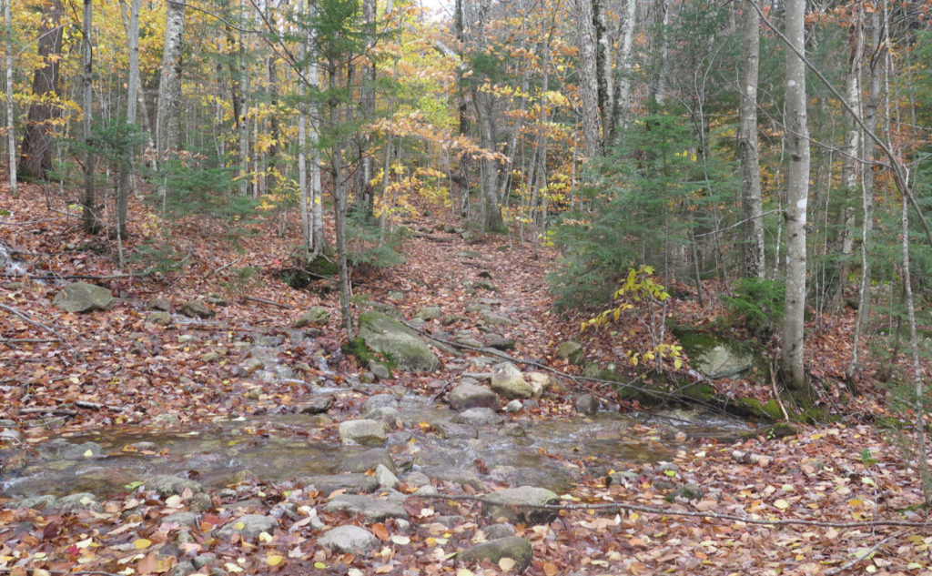
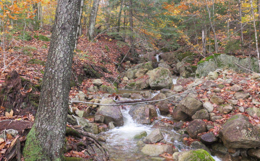
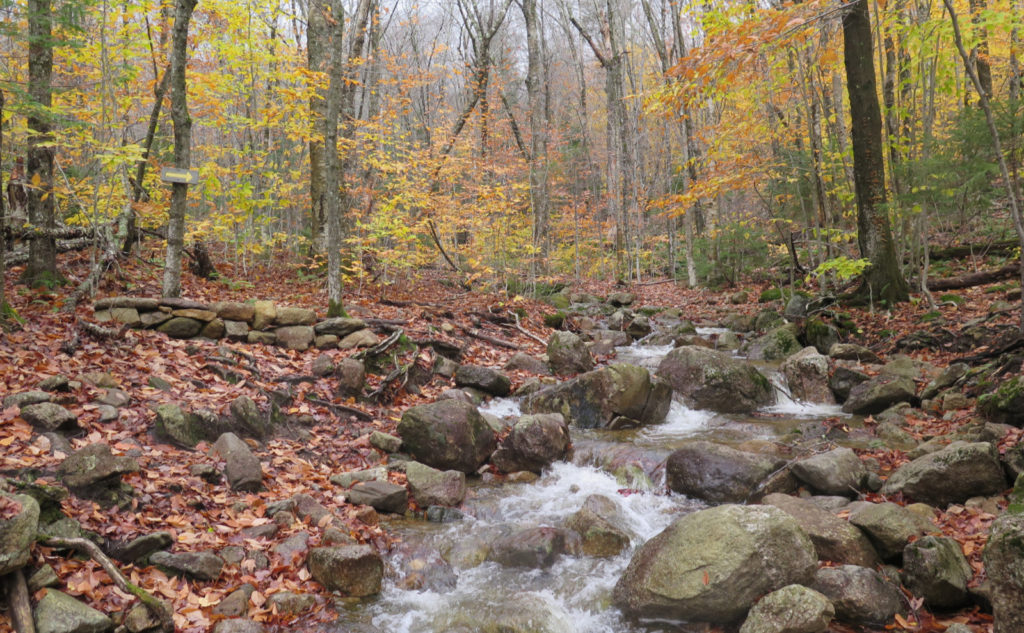
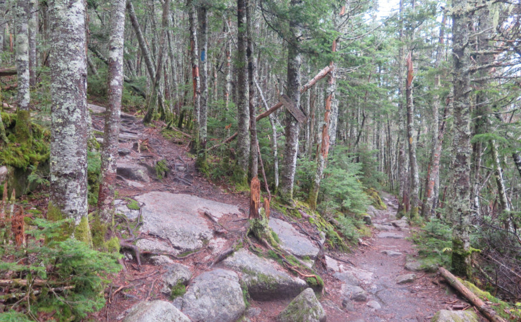
Blazes are yellow and occasional; however, the trail is incredibly well maintained, wide, and nearly impossible to miss. Note there are three crossings of Tecumseh Brook or a drainage that feeds it. They’re mostly simple, but if there’s been a lot of rain lately, you might have to look around a few yards up or downhill. The first one is literally half a dozen yards from the trailhead, which ought to give you a sense of how things will be further on. Trekking poles are a boon for the biggest of the three.
Be aware that the Tecumseh trail crosses the summit, connecting the ski area to Tripoli Road. The whole trail is a bit over 5 miles end-to-end, and doing a road-walk from the wrong side of the mountain will take many hours. Mind which way you approach the summit, so you don’t make that mistake.
If you enjoy reading these posts, please subscribe — stay in the loop! Your email will only be used to alert you of new posts — typically 1-2 times per week. I will not use or share your email for any other purpose without your express permission. And feel free to share via social media using the buttons below.
Find me in the mountains, on this blog, or on Twitter: @Protean_Hiker
