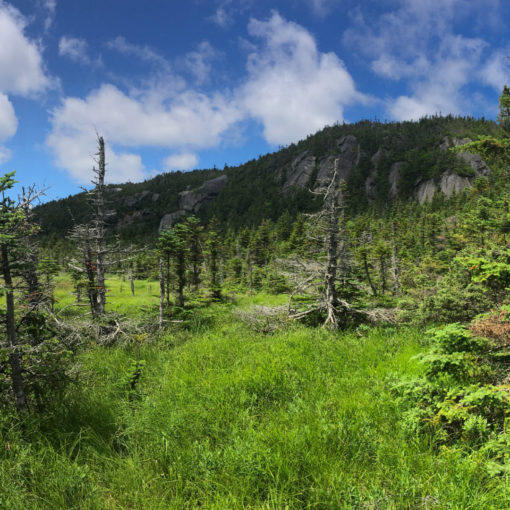
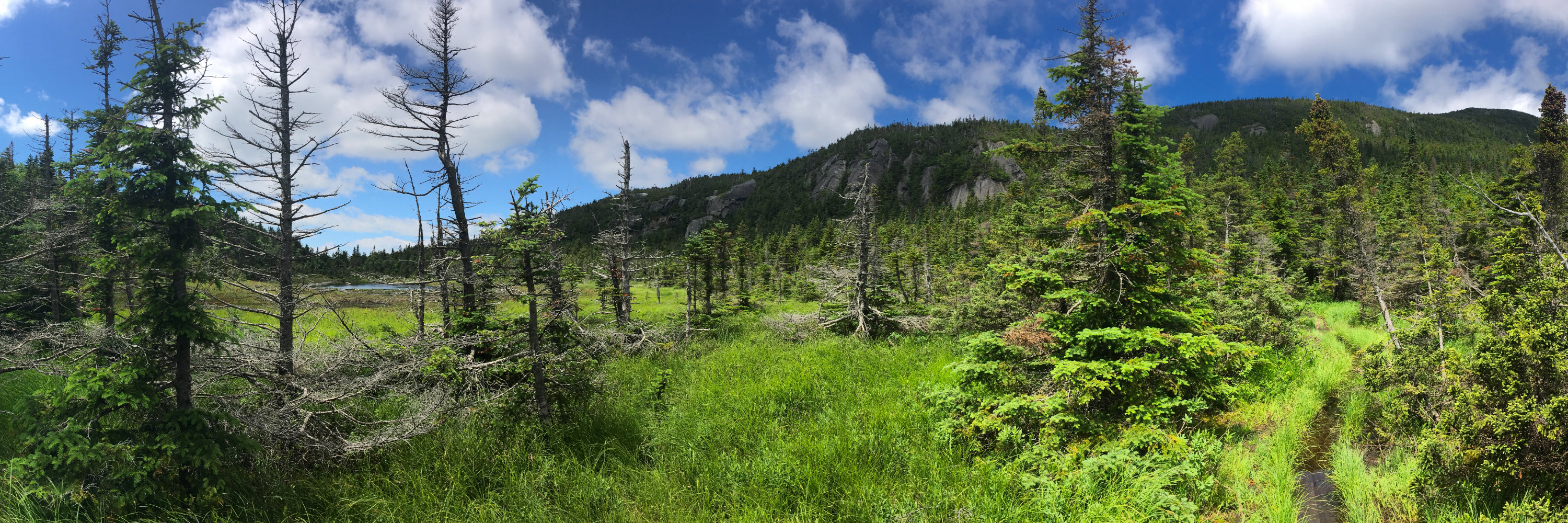
And so it begins…
Mt Tecumseh, Thornton, NH. 2018-02-15 (Thursday.) Via the Tecumseh Trail.
4,003 ft.
38 dF at the summit, winds were very well mediated by dense tree cover. Moderate fog, with visibility ranging from approximately 1 mile down to 100 yards at times. Quite humid — it was a beautiful day to be outside, especially in February.
The AMC White Mountain Guide says 2:20 to the summit. I was around 90-ish minutes, counting a quick foray into the Waterville Valley ski area lodge.
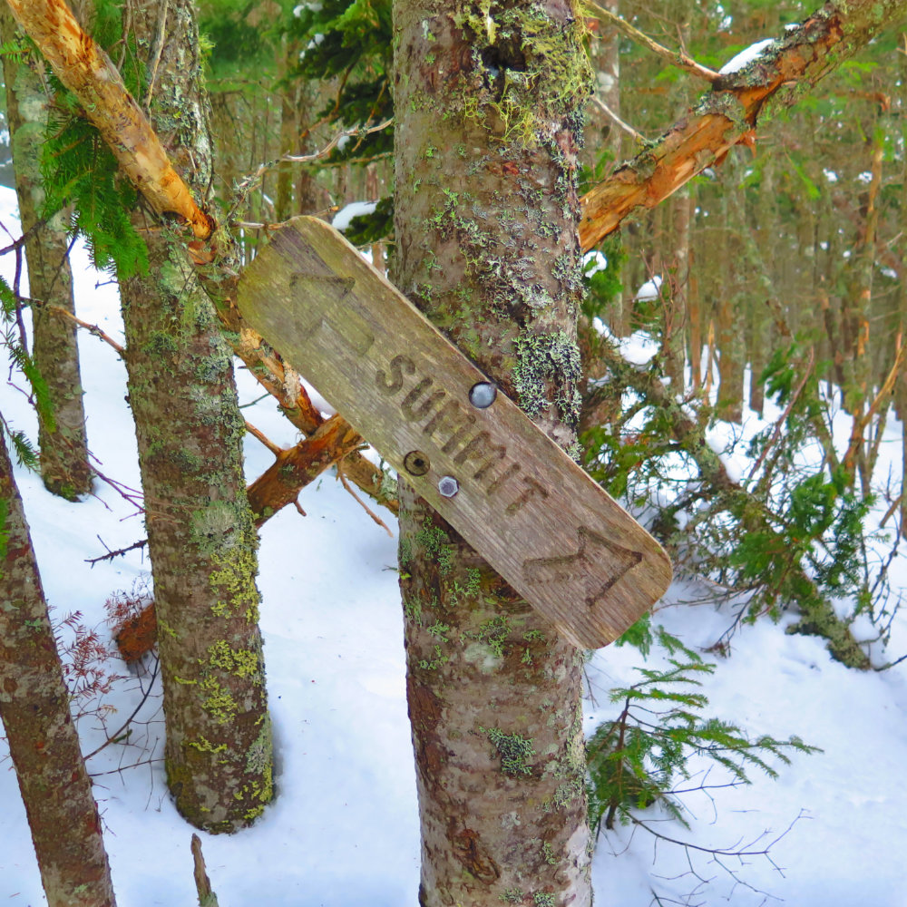
The trailhead was a bit hard to find… except it’s on the driveway of Waterville Valley ski resort, so I walked inside the lodge and asked at the desk. The guy was pleased to point me on my way. Look for the #1 parking lot entryway, and then turn around 180 degrees. Walk about 20 feet across a snowbank, then a quick ford across a small stream (some large stepping stones made this trivial) and I was on the trail.
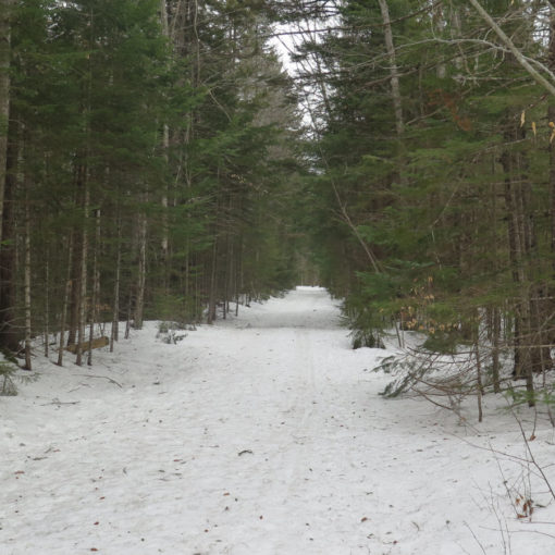
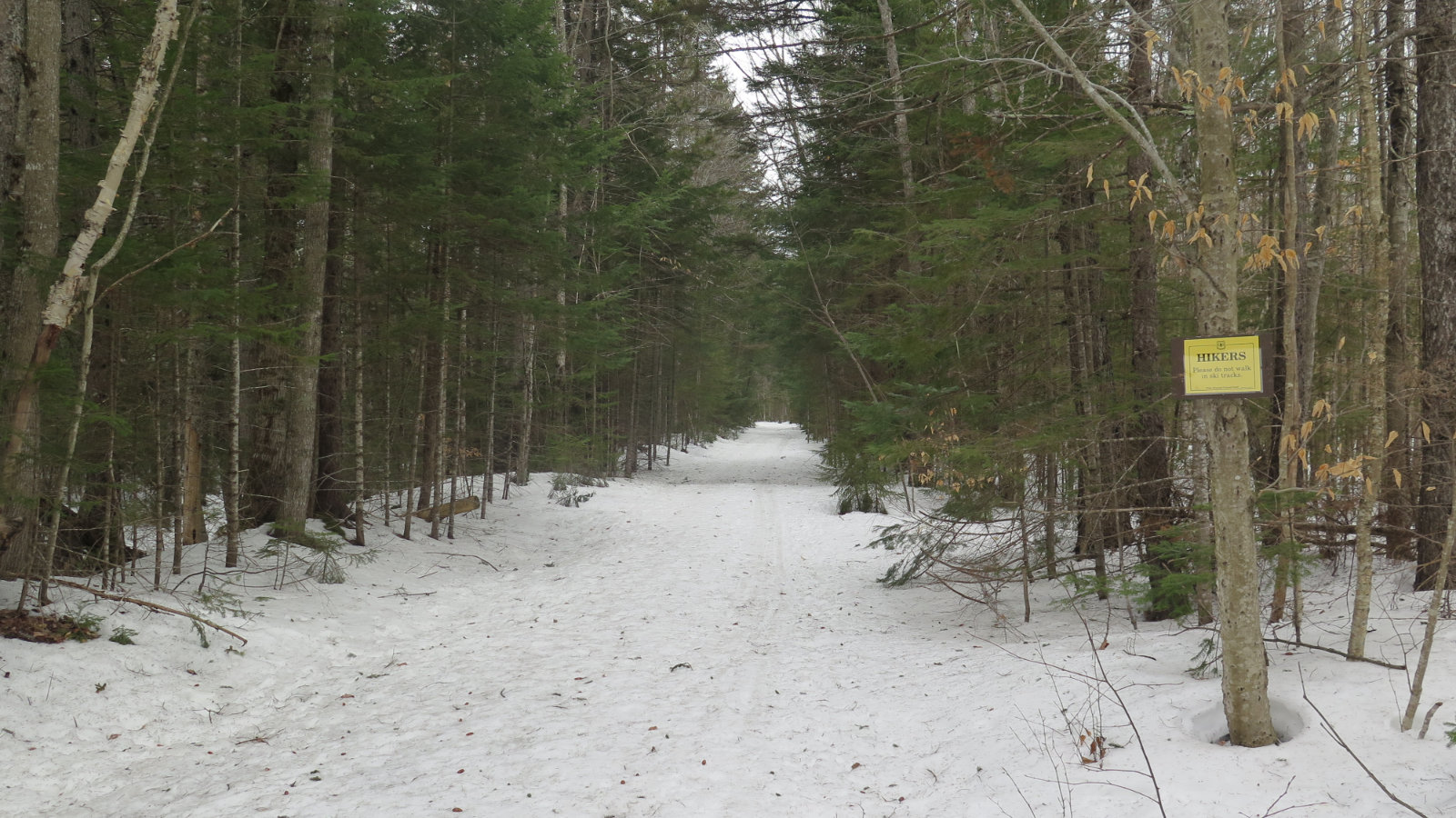
In a testament to the popularity of the route, the trail was magnificently broken, despite having had a snowfall recently. It was firmly packed down, plenty wide enough, and easy to follow. Watching out for the blazes was pretty much optional the whole way. Much of the trail followed the right-hand most ski trail, although about 50-ish feet into the trees. As could be expected, that meant most of the trail was quite straight, and straight up with few breaks. MicroSpikes gave plenty of traction on both the uphill and down — crampons would have been serious overkill.
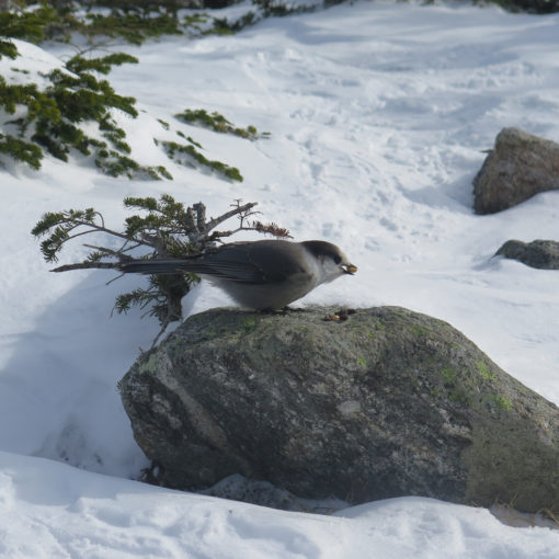
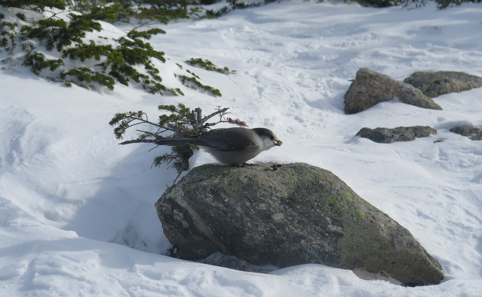
Before long, I was sweating heavily and my legs were aching. Heard (but didn’t spot) some birds along the way. There was some kind of event at the ski area, and their music wafted over for about half my ascent, until… the natives stopped banging on their drums. And an eerie silence fell upon the forest. Luckily, there were no banjos.
There was a breakout where the hiking trail came within about a dozen feet of a very icy (and closed-off) ski trail. Not much to look at today, but I did hear the swooshing of nearby passing skiers from time to time.
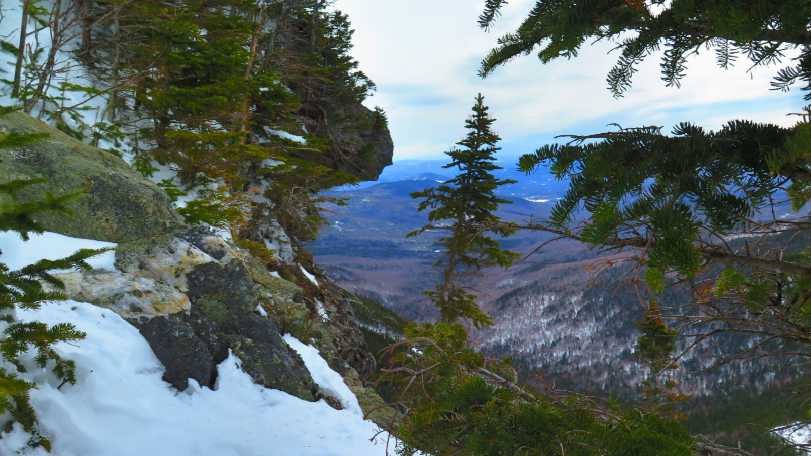
Despite a very late start, I was at the summit by about 1445. I wished I’d taken a picture, but there wasn’t much to see but fog. And more fog. Oh well, next time.
At the summit, I met Nick and Nicole from Warwick, RI; two hikers on their 26th of the 48 NH 4,000 footers. We shared a few thoughts, I had a granola bar, and then it was time to head back to the car. A quick hour of walking and jogging, and I was at the car.
Made a quick trip up four exits to the Mountain Wanderer Bookstore in Lincoln, right on the Kancamagus Highway. It’s a dangerous place: walls lined ceiling to floor with books on hikes, mountains, guidebooks, maps, and other related stuff. There were rare books, including several editions of the AMC book that were older than myself, with the marginalia of their former owners. On the drive back home, I promised myself one when I finish the 48.
Comparing this to the venerable White Dot trail on Mt Monadnock? The “technical” section was about three seconds of hopping across rocks when fording the stream at the trailhead. Other than that, the way going was very flat and very steady. I’d think of Tecumseh as an elongated, steep and straight version of the White Dot from its trailhead to Falcon Spring.

If you enjoy reading these posts, please subscribe — stay in the loop! Your email will only be used to alert you of new posts — typically 1-2 times per week. I will not use or share your email for any other purpose without your express permission. And feel free to share via social media using the buttons below.
Find me in the mountains, on this blog, or on Twitter: @Protean_Hiker
9 thoughts on “Trip Report: Mt Tecumseh”
Hi, this is a comment.
To get started with moderating, editing, and deleting comments, please visit the Comments screen in the dashboard.
Commenter avatars come from Gravatar.
WordPress has now enabled voice comments for websites. Bring your website up to date and get the free plugin here, http://bit.ly/Voice-Comments