
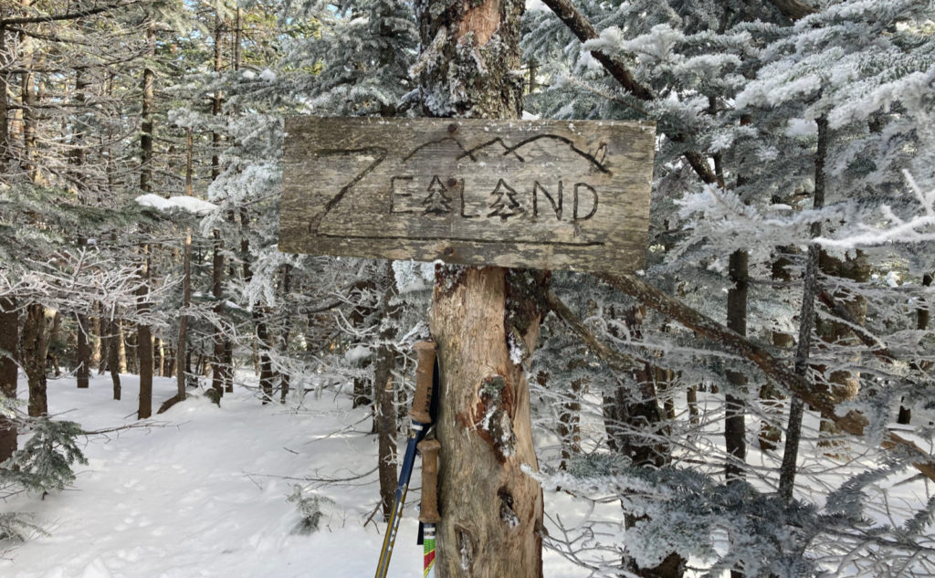
Mt Zealand, 4260 feet. 2022-02-13 (Sunday.) Via the Zealand Trail, and the Twinway. Approx 18 miles, 3,000 feet of elevation gain.
15 dF or so throughout the day; 5 dF starting out, 20 at the finish. Winds were pretty negligible. Partly sunny throughout the day, becoming mostly sunny, with high altitude clouds casting the odd bit of shade here and there. (Again with the very obvious brisk high altitude winds blowing those clouds across the sky.)
Car Park: 0800. Trailhead: 0925. Zealand hut: 1100. Zeacliff: 1140. Summit: 1250. Zealand hut: 1445. Trailhead: 1545. Car: 1700. Sunset: 1712.
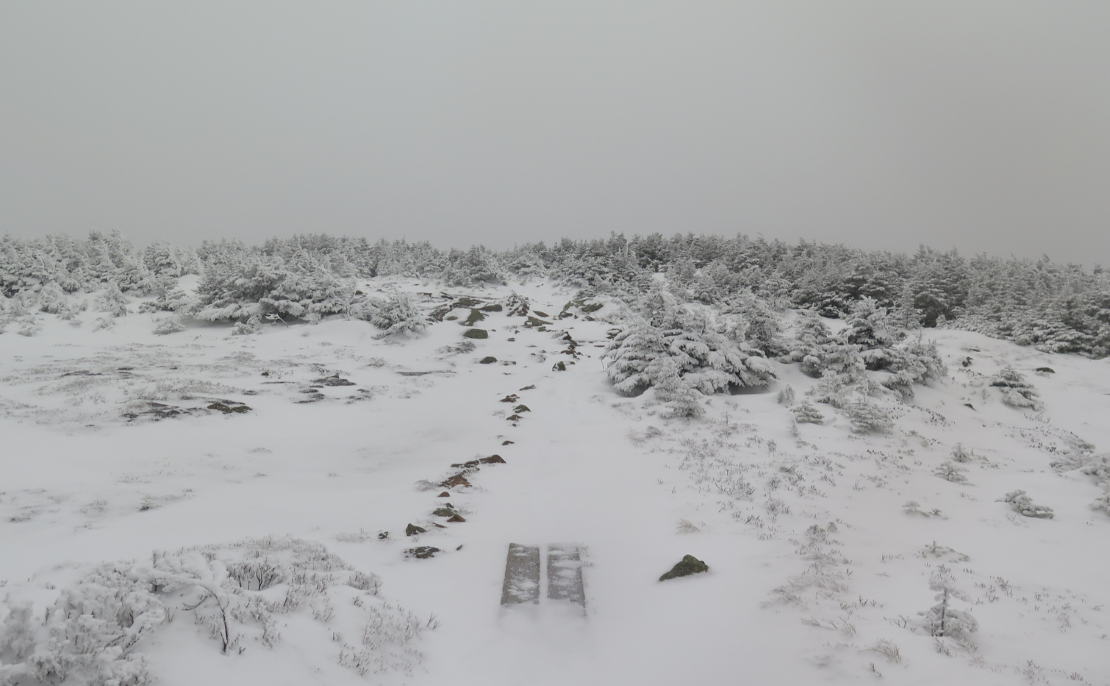
This one wasn’t much different from the last one… except for the snow.
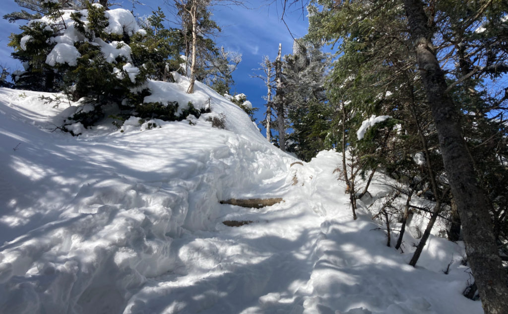
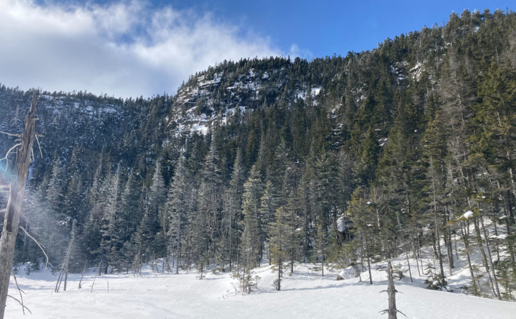
I just cut and pasted last week’s header info into this trip report, and as I was updating the times, it was weird how close one hewed to the other. I got to the hut about fifteen minutes quicker this time around. But above the hut, wow, what a difference. Last week, I turned around at about 1300, barely halfway up to Zeacliff. Today, I got to Zeacliff in far less time than it took just to get to that halfway point last week. You could say I had about the same turnaround time this week, except I turned around after reaching the summit… which, y’know, is how it’s supposed to be done. Right?
Leaving the house, I was a tad worried. NE Trail Conditions showed my trip report, and one other, from a hardy soul that saw my hard work breaking trail, but turned around too. I wasn’t sure I’d be able to do much more than hack away at deep snow yet again. Where I failed in my research was forgetting that many people do the Bonds from Zealand, and forgetting that sometimes trips get submitted the next day. Duh.
Planning is fine and all, but hiking is boots on the ground, right?
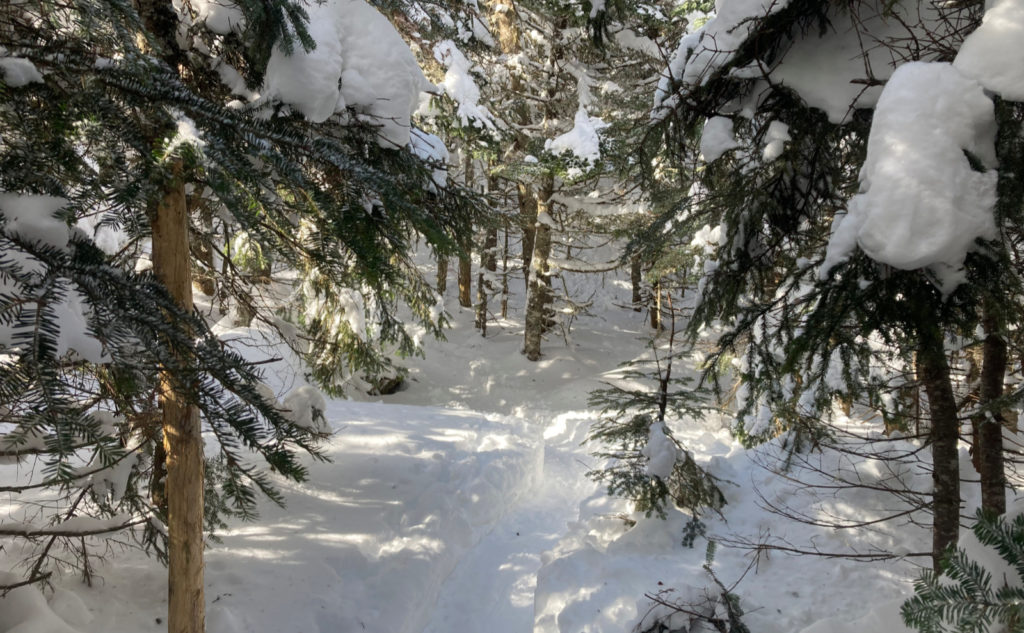
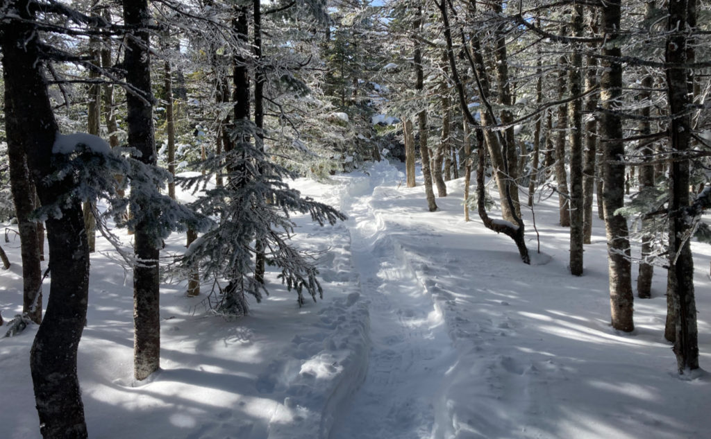
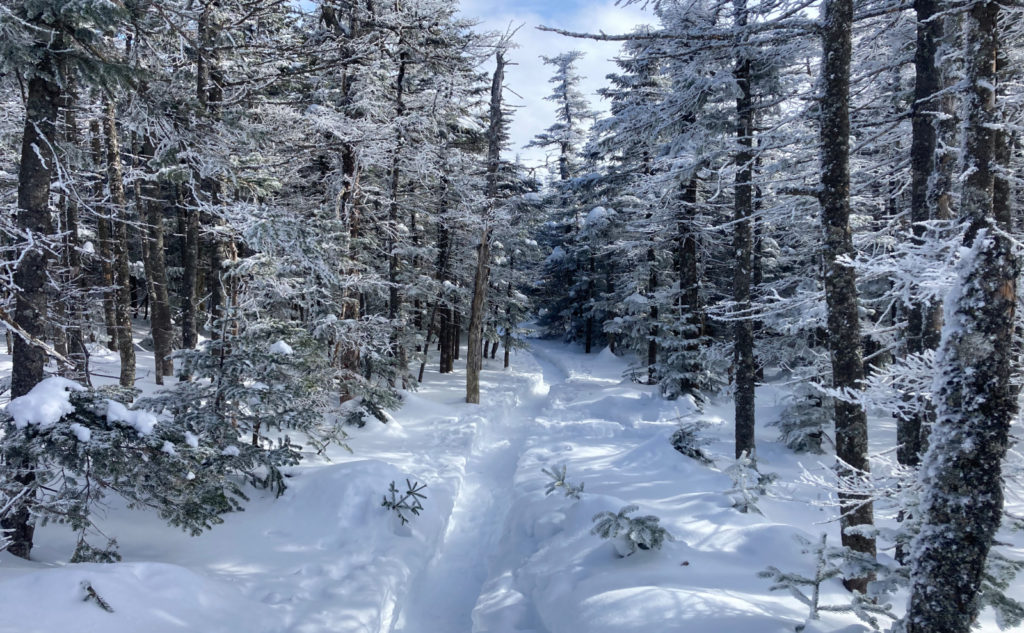
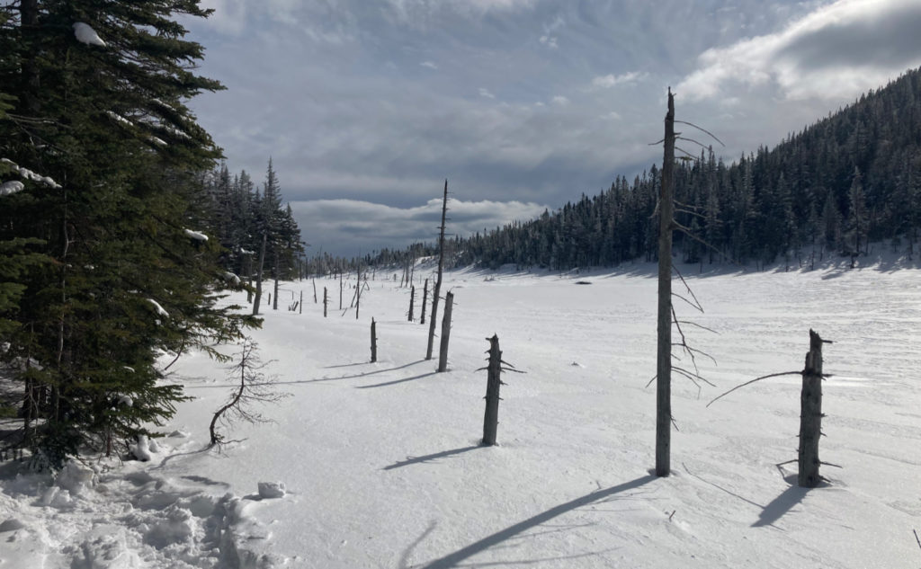
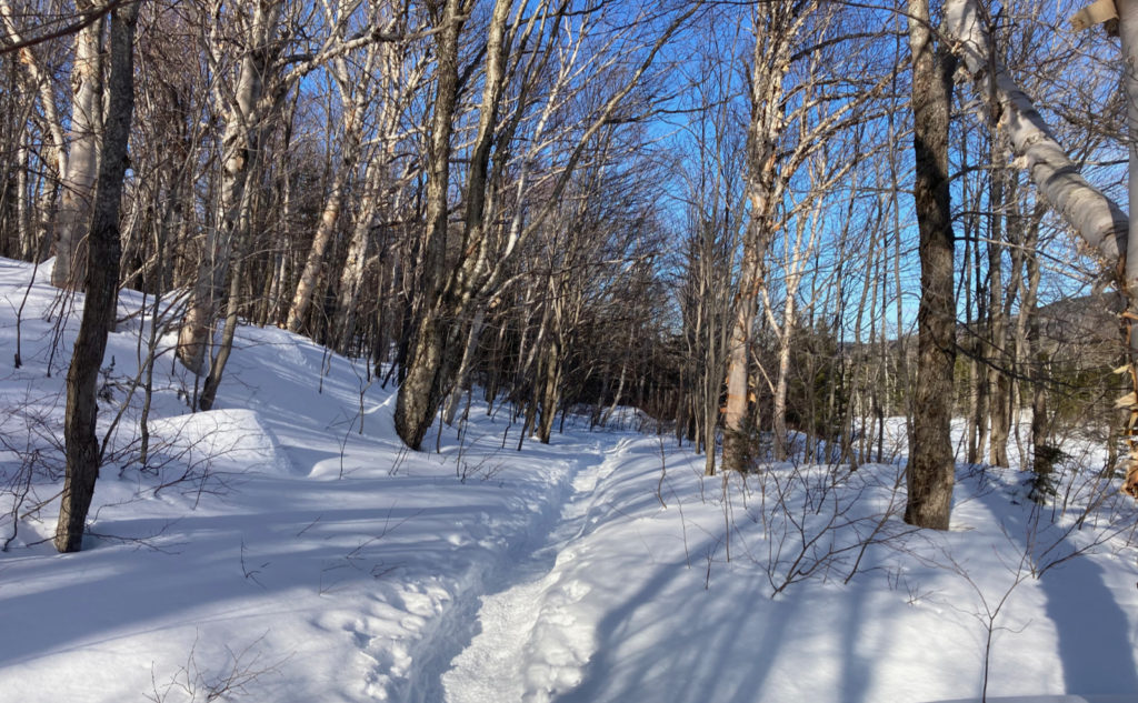
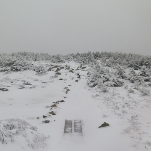
I was making great time right out of the gate. The unseasonably warm weather we had this past week made the trail amazing, as I’d hoped. The melting and re-freezing cycles, coupled with a little wet precipitation, made the trail indistinguishable from a concrete sidewalk. Someone had post-holed the last mile or so before the trailhead, which made things… interesting… but overall, I had the pleasure of hiking over quite nice terrain. All the lumps and bumps endemic to a summertime hike on this same trail were paved over quite nicely.
There were a few hardy souls coming down from an overnight at the hut, and from these friendly folks, I learned that the trail to the summit had indeed been smashed down by several parties. The overall consensus was “don’t sweat it.” And indeed, some were even telling me that if I wanted to grab the Bonds, they were mine for the taking, although the trail out beyond Guyot was reportedly a tad soft. Realizing as I write this that I’ve hiked almost 20 miles today up some pretty stiff terrain, I’m glad I didn’t tack on that extra five or so miles. I’m feeling quite whipped, thanks.
What about what happened?
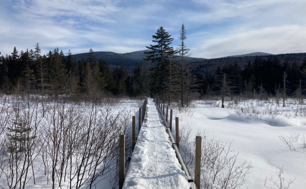
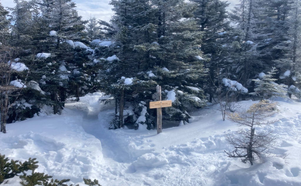
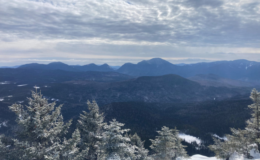
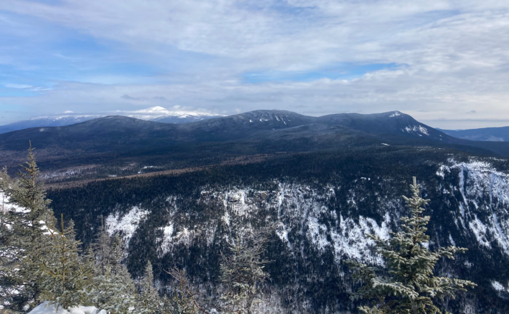
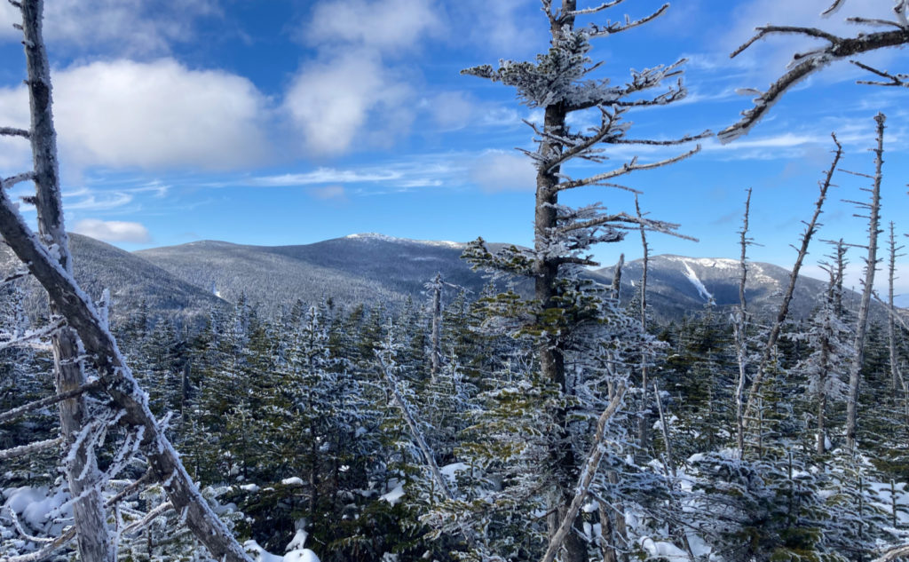
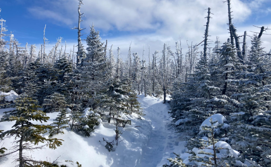
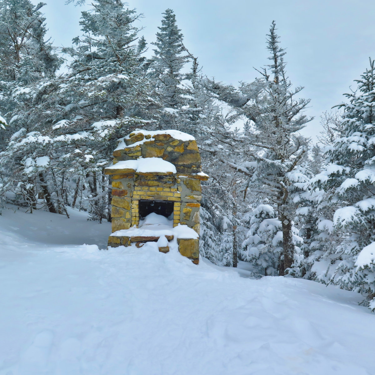
The photos will tell most of the rest of the story. But that said, it was nice bumping into some of my readers. One guy was very thrilled, and I’m glad we met early on, because I took that enthusiasm with me for the rest of the day. Let’s face it, smooth trail or no, hiking up to Zeacliff is pretty strenuous work, so those glad tidings helped keep me on track. Later, just as I was coming back down the summit spur, I bumped into Cone Demon and companion, who were working on their single-season 115 effort. Words are insufficient to describe… two of the nicest people biting off a huge chunk of hiking. Every so often, one of these chance meetings happens, and wow, it makes the world feel a little closer. Nice.
Anyway, I got back to the hut, only a few hours after I first departed. I left a much happier entry in the register this time, which always feels nice. Passing that sag at the halfway point felt vindicating. I’m left wondering what it’ll be like visiting that area in the warmer weather. There are so many places I’ve been, which are indelibly marked in my mind. And now, there’s another.
Counting, counting
I am now 44/48 for the season, and this is the last season before I’ve done them in all four. (After this, it’s collecting the set for each individual month.) The only remaining peaks for winter lie along the length of Franconia Ridge. I’m thinking I’ll do them two and two. Cone Demon suggested I could do the four in a long day, but I think I want them as easy days… bon-bons in a sense. Fruits and gems to be savored, not labored over. If the weather holds, they should be epic days. Stay tuned. We’ll see what tomorrow brings…
As always, stay safe out there.
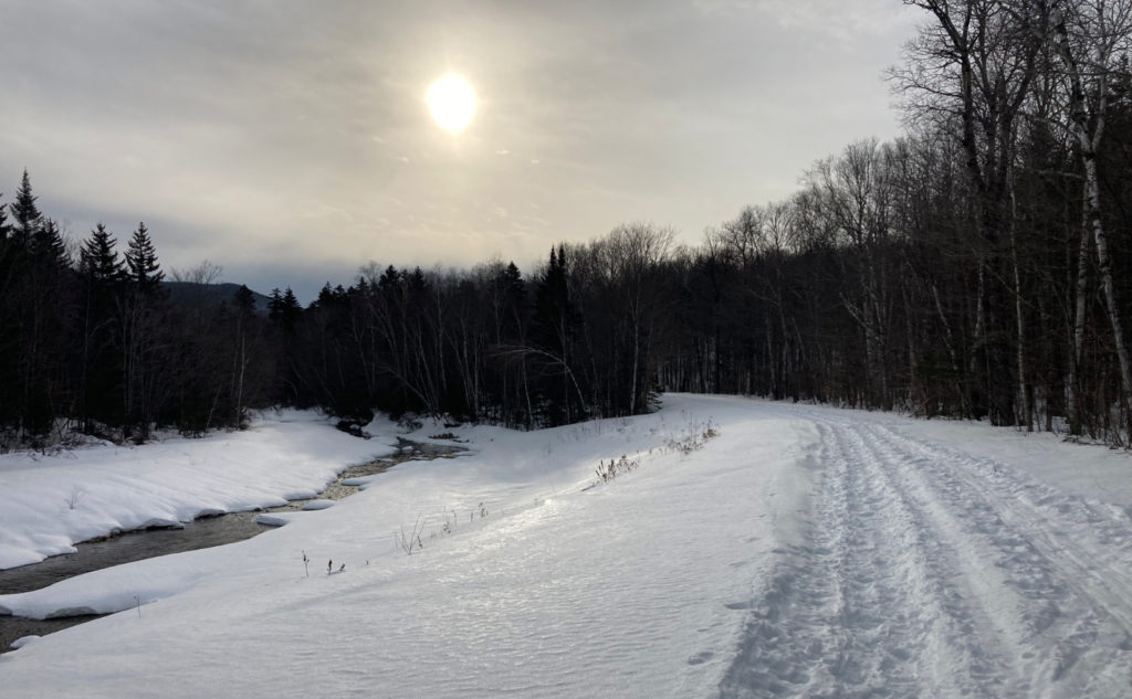
Nuts and Bolts: From 93, make your way to Route 302, and head in the general direction of the Cog Railway. Pass the normal entrance for Zealand, which in winter will be closed. Park at the snowmobile parking that’s about a quarter mile down and across the street. If you come out of the parking area and hoof it across 302, you’ll note that between the road and river is a snow machine route. Hiking here will keep you away from highway traffic, but remember to keep your head on a swivel. Snow machines pop up with little advance notice, and they move swiftly.
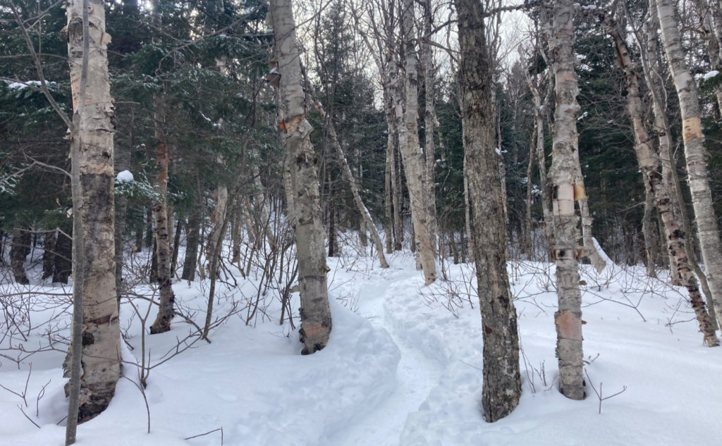
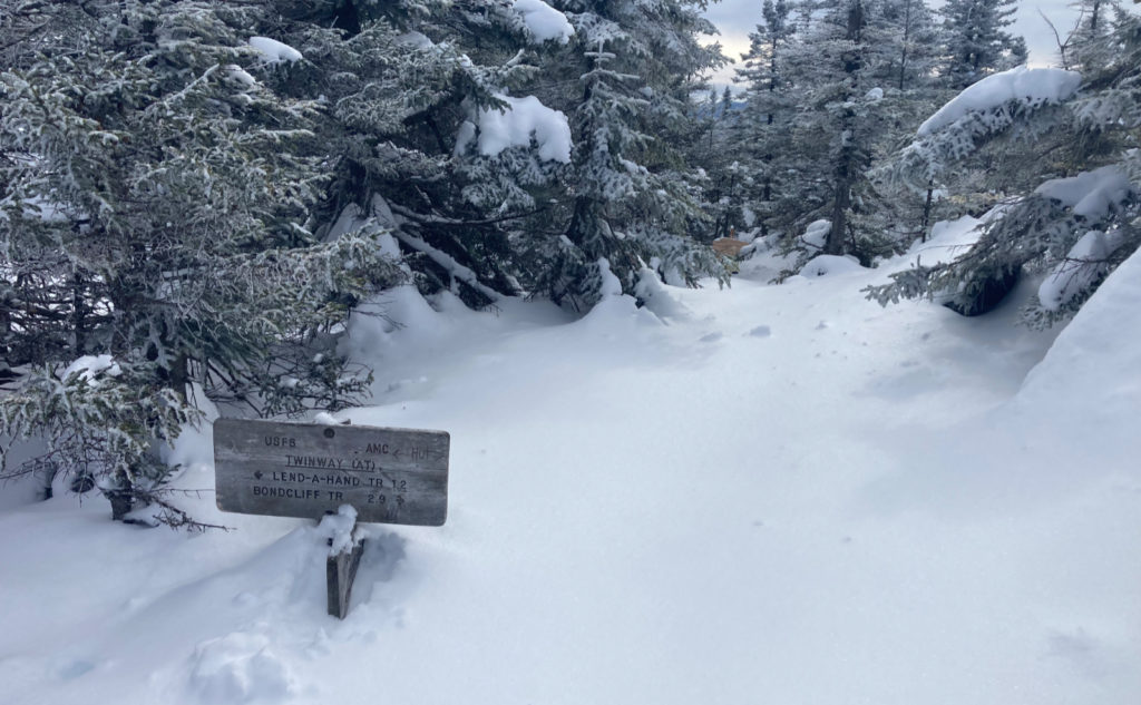
Trailhead will be at the far end (about 3 3/4 miles) of the road. Blazes are blue until you hit the AT, and white while on any section of the AT. The blue blazes are reasonably visible. As of this writing, the white blazes are more visible, even if many of them are in need of a refresh.
The hut is open in winter on a “caretaker” basis only. This means limited services are available. Count on cold water, no food except that which you’ve packed in, and not much else except basic shelter. (And don’t expect a Croo. I’ve never seen more than one staffer at any time in the winter.) Find further info on overnighting in the huts on the AMC’s website.
A note on the distances involved: In Steve Smith and Mike Dickerman’s book, they describe the length of this hike as compared to its summertime version. In short, because the road is gated, you’re adding about 7.5 miles to the trip. What is about a dozen miles round-trip in the summer comes much closer to a 20 mile epic in the winter. Isolation is far less isolated than Zealand in this case. Add to that the necessity of carrying more stuff, plus heavy clothing and snowshoes, and it becomes exponentially tougher. Staying overnight at the hut is certainly an option, and from seeing so many coming out as I was heading up, it would seem to any uneducated observer to be quite popular. Many I passed seemed to like it so much that the hut itself is the end-goal, with no further need to go higher than that. Warm sleeping bags, jumping jacks (to get the blood pumping) before turning in, the camaraderie of suffering, and perhaps a few hand warmer packets reportedly do the trick. Either way, expect to be stiff and sore the next day. I don’t think anything about the trail itself is particularly noteworthy for its technicality. But wow, as I write this update two days later, I’m still feeling the burn. It’s a punishingly long hike. Be forewarned.
If you enjoy reading these posts, please subscribe — stay in the loop! Your email will only be used to alert you of new posts — typically 1-2 times per week. I will not use or share your email for any other purpose without your express permission. And feel free to share via social media using the buttons below.
Find me in the mountains, on this blog, or on Twitter: @Protean_Hiker
4 thoughts on “Trip Report: Zealand is a Go-Go! ”
Nice write-up. Might it be possible to make the photos bigger and/or expandable?
Fixed. WordPress made a few changes in its UI, and I’m still figuring things out. Thanks for pointing that out.
Cheers!
Glad the second time was a charm on this one. Beautiful photos. Good luck with your final four for this season.