
Mt Isolation (4,004 feet). Sargent’s Purchase, NH. 2022-01-27 (Thursday.)
Via Rocky Branch, Isolation trail, Engine Hill Bushwhack, Isolation Express Bushwhack, and Davis Path. Approx. 10.5 miles round-trip. Approx. 3,300 feet elevation gain.
-10 dF at the trailhead, approx 10 dF at the summit. Winds were non-existent in the trees below approximately 3,000 feet. A light breeze of approx. 2-4 knots above that; occasionally felt in the trees, certainly felt at the summit. Bright sun with light, high-level overcast conditions throughout the day.
Trailhead: 0900. Summit: 1245. Car: 1530. 6.5 hours.
Why so many people?
January will wrap up for 2022 with my total for the month set at a dozen. Yep, I’m still smarting about last year going poof, but there it is. On the other hand, I did get a couple of the tougher hikes out of the way. I still have the Bonds and Owl’s Head on the list, but the number of peaks that require an hours-long approach, just to get to the meat and potatoes, is steadily shrinking. Today was an object lesson in how to take less time “getting there”. No kidding, I hacked off about two hours from my usual time. (Why did I get out of bed so early?!)
The secret sauce
I don’t think I’ll ever hike Isolation in winter without bushwhacking at some point. Before today, I thought I had wrung all the time I could off that trail. But I found another cut-off that shaved about an hour or so off my hike. Especially as we’re still pretty close to the solstice, that directly equates to sunlight, which directly equates to safety.
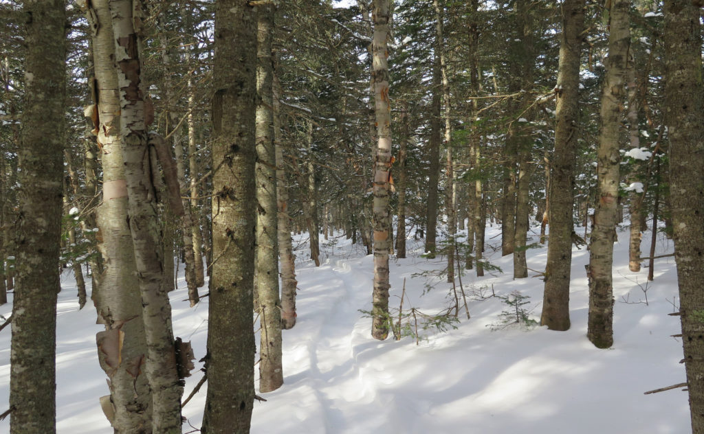
But more to it, I’m not sure anyone else wants to do Isolation without bushwhacking, either. I did see a lone set of prints taking the long way, where the Isolation Express was at least as nice, and much speedier. This iteration of the Engine Hill bushwhack meanders a lot compared to the last time I was on it. (I’m hopeful the “stawm” that’s due on Saturday hits the reset button… but then again, I’ve not got huge plans to nail down February’s version of this hike as early as next week (or even this year) so it’s entirely academic at the moment.)
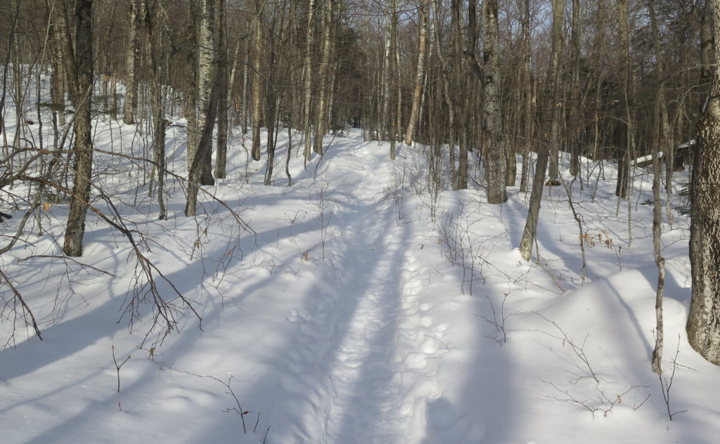
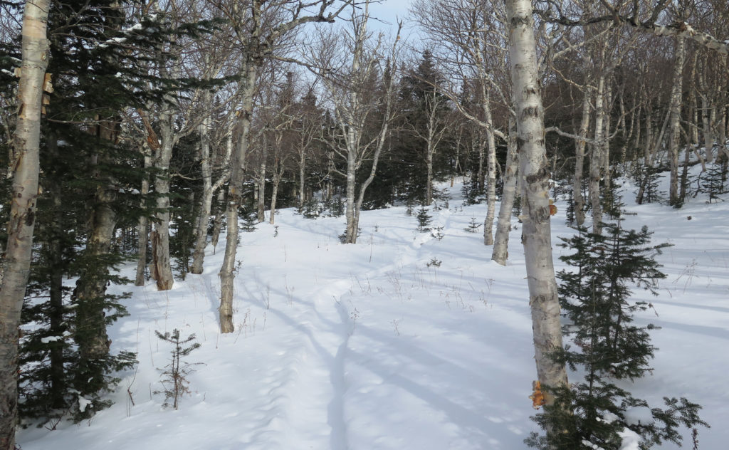
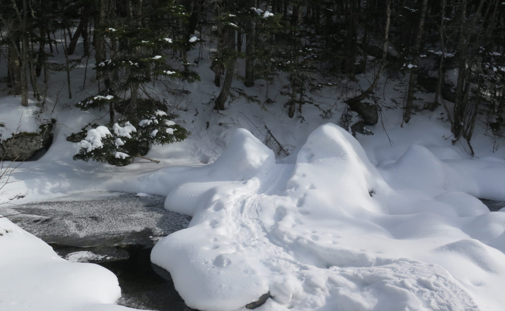
Even more to it, there’s a fine path cutting the corner, such that the first two water crossings are bypassed entirely. I saw exactly zero prints taking that long way. So all signs point to people being “constructively lazy” on what can be one of the hardest peaks on the 48 list, despite the fact that it’s only slightly more than a yard taller than 4,000 feet — if a glacier all those millennia ago had been just a tiny bit more abrasive…
Was the whole day about bushwhacking?
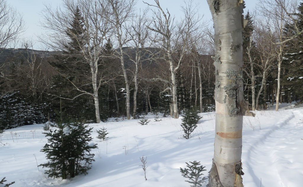
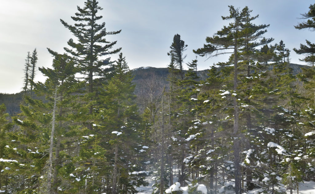
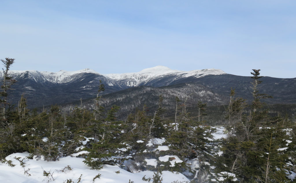
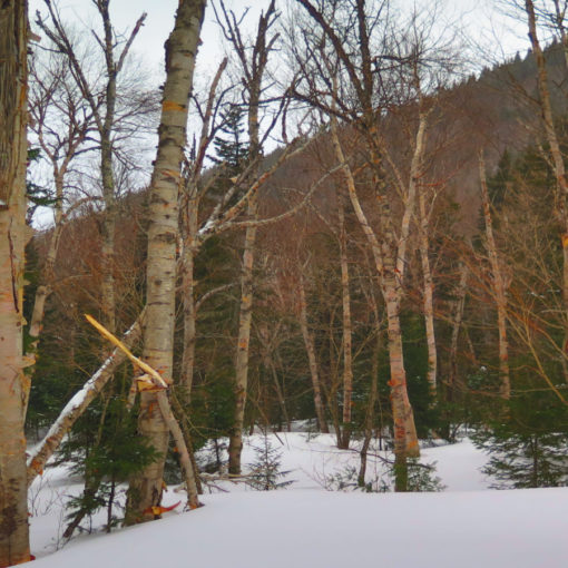
Anyway, it was a fine outing. Getting out of my car at the trailhead was unpleasant due to the sub-zero temps (no kidding, it was -20 as I drove through Tamworth — yikes!) but Isolation smacks you hard coming right out of the gate with a near-constant climb up to about 3,000 feet — about 1,800 feet of elevation gain separates the trailhead from the top of Engine Hill. Sweat was dripping from my forehead within about 15 minutes, and that was the last I felt cold all day. The sun certainly helped. It wasn’t the perfect deep blue sky that we all want, but if one doesn’t count a thin overcast haze up where the jetliners cruise, then it was basically a cloud-free sky. Yep, I got some color on my face.
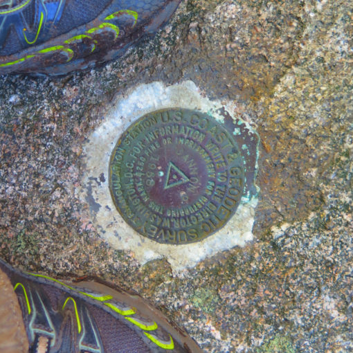
I got to the summit, and in the few feet below, where you’re just breaking out of the trees, some snow had blown, obscuring the trail. I’d had a strong suspicion heading up that I was alone, but this was proof. There were no footprints. But did that truly mean I was alone?
Isolation? Well, maybe, but not solitude.
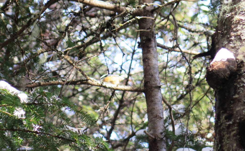
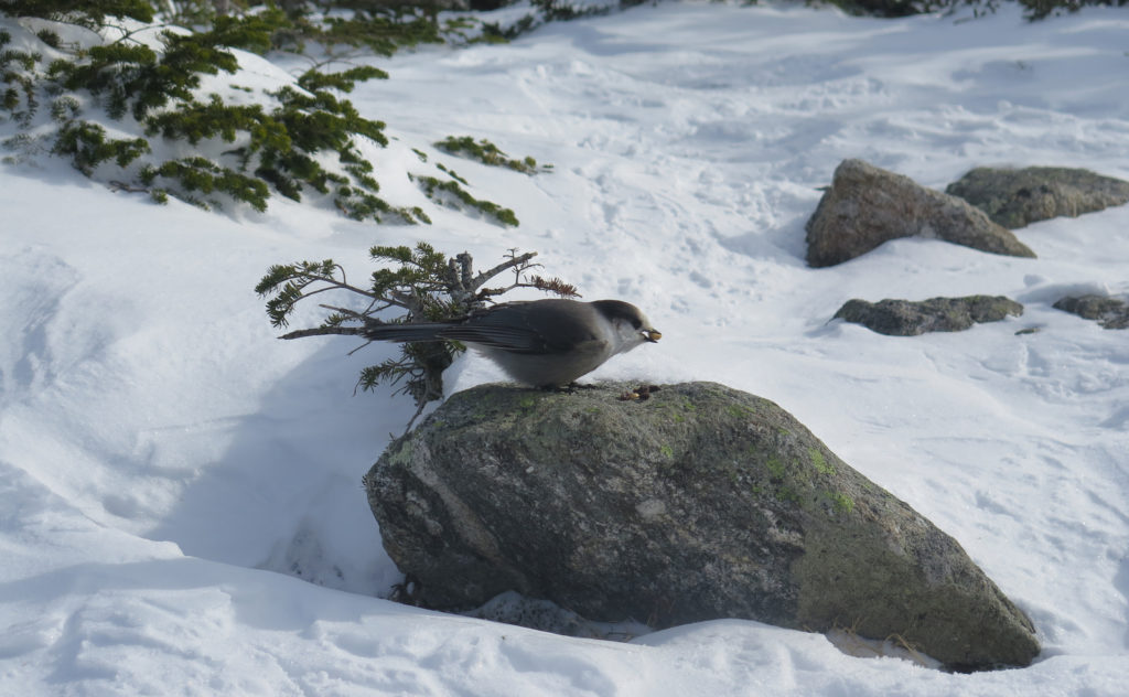
Not for long. I had a few minutes on the summit to enjoy the view and some solitude, sharing some nuts and raisins with a pair of grey jays. That breeze was starting to chill, though, so I turned back to the trailhead. Just as I was starting down the express bushwhack, I met a fellow hiker on his way up. And then, about an hour later, I bumped into a hiker leading a blind hiker — the latter hiking his 40th on the 48 list. Cool! But it underscored the fact that Isolation is poorly named if you equate it with solitude. Oh well.
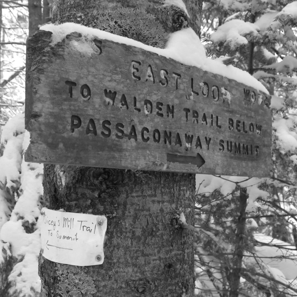
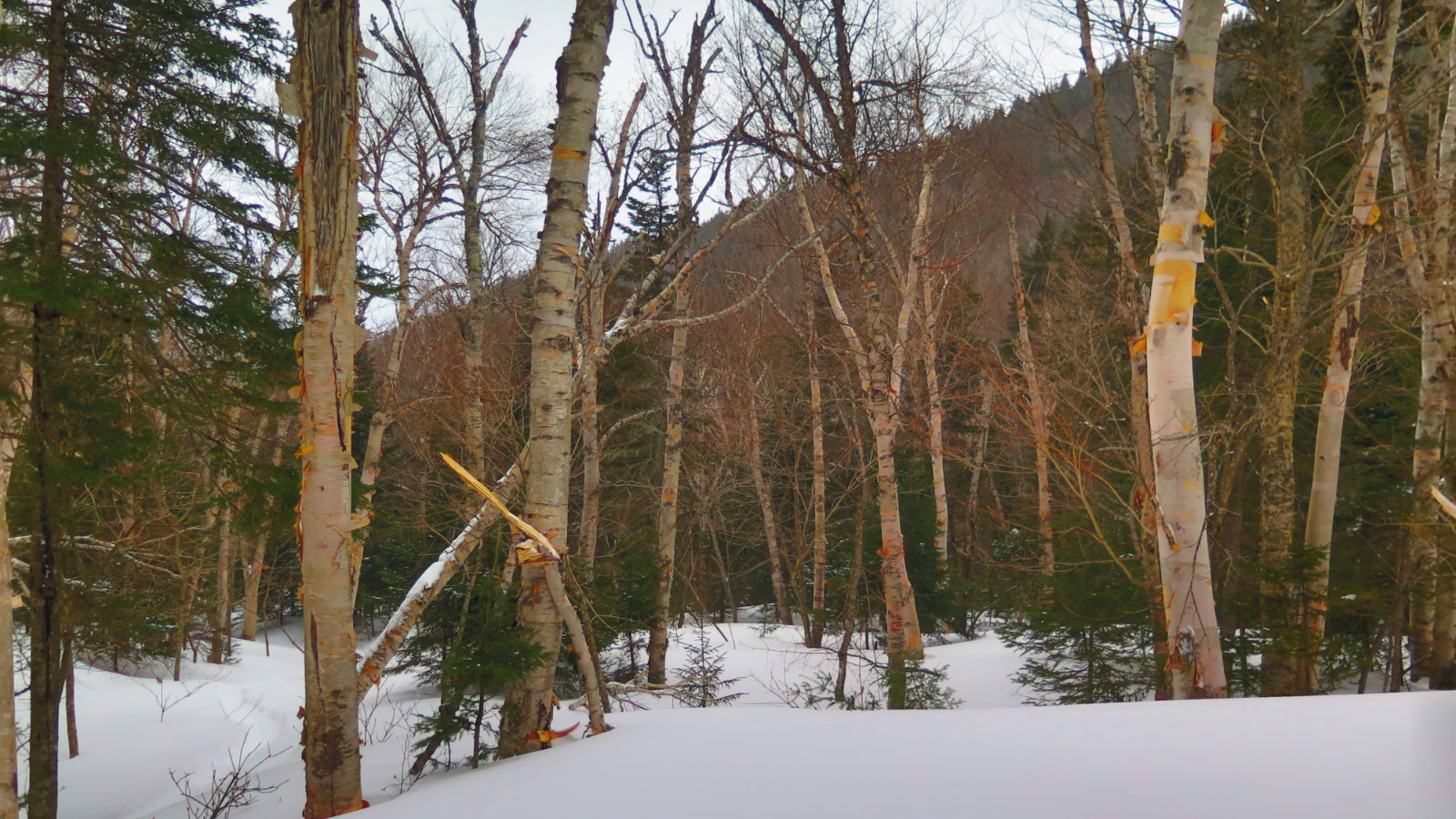
On the way down, I tried out the conventional route, because that guy I bumped into near the summit mentioned it was pretty smooth. Near the junction by the first water crossings, I cut the corner both because I’d never tried that route before, and also because the “proper” trail hadn’t been broken out at all, except by a snowshoe hare. It worked out well. Given the meandering nature of the Engine Hill bushwhack, I’m not sure how much time that one saved, if any. Last year, it kept to a more level course, where this year, it does a noticeable amount of climbing, plus some amount of winding. Oh well. Sticking to the “real” trail for that bit on the way down, I made good time, perhaps as much because it reliably tracks downhill. Nice. (And it can’t be overstated, but walking through those birch glades on the way up… yep, that never gets old.)
The drive home was still long. I couldn’t really shave time off that, and until flying cars become a thing, I doubt it will get better anytime soon. Paging George Jetson…
As always, stay safe out there.
Nuts and Bolts: From Gorham, turn south on 16. Drive past the Pinkham Notch visitor center and then look for the Rocky Branch Trailhead sign a bit more than three miles after that. You’re looking for a small brown sign (as opposed to the larger yellow and brown ones) and it’s on a very unremarkable section of Route 16. That said, if you keep your eyes peeled, it’s not hard to spot. The road in is typically plowed, as it’s also the trailhead for a couple of x-c skiing trails.
If you’re coming up from Conway, the parking lot driveway is just north of “Dana Place Road”, and you’ll be about three miles north of the town of Jackson when you hit the trailhead. Look for the usual signage by the side of Route 16 — it’s a small brown sign with a hiker logo.
Trailhead will be at the far end of the lot, away from the road. Blazes are yellow and basically end at the wilderness boundary. Prior to that, they’re mostly plentiful, and many look recently re-painted.
Regarding the bushwhacks: For those who don’t know specifics of the bushwhacks, I will remain circumspect as I have for other trails the AMC doesn’t list; not much more will be said here. As I write this, a storm is forecast that should drop several inches of new snow. Whatever path has been established through the trees is almost certainly going to be erased.
Do your own research. Remember that any bushwhack is not a formalized trail, and conditions beneath the snow are far from guaranteed. Much more so than normally with winter hiking, I recommend not setting out unless you’re very sure in your abilities to navigate and overcome numerous unforeseen obstacles. Study both your route, and your skills.
The bushwhacks are austere, without any kind of blaze or trail improvement, be it formal or informal. You may find yourself making your own path forward. No formalized trail maintenance is done; the bushwhacks lack the appearance of a formally established trail in many places. If you are dependent on “knowing what a trail looks like”, you might find yourself in over your head. Remember that there’s a perfectly serviceable, well maintained trail that’s marked on any map, leading from the trailhead to the summit. The bushwhacks are entirely optional.
If you enjoy reading these posts, please subscribe — stay in the loop! Your email will only be used to alert you of new posts — typically 1-2 times per week. I will not use or share your email for any other purpose without your express permission. And feel free to share via social media using the buttons below.
Find me in the mountains, on this blog, or on Twitter: @Protean_Hiker