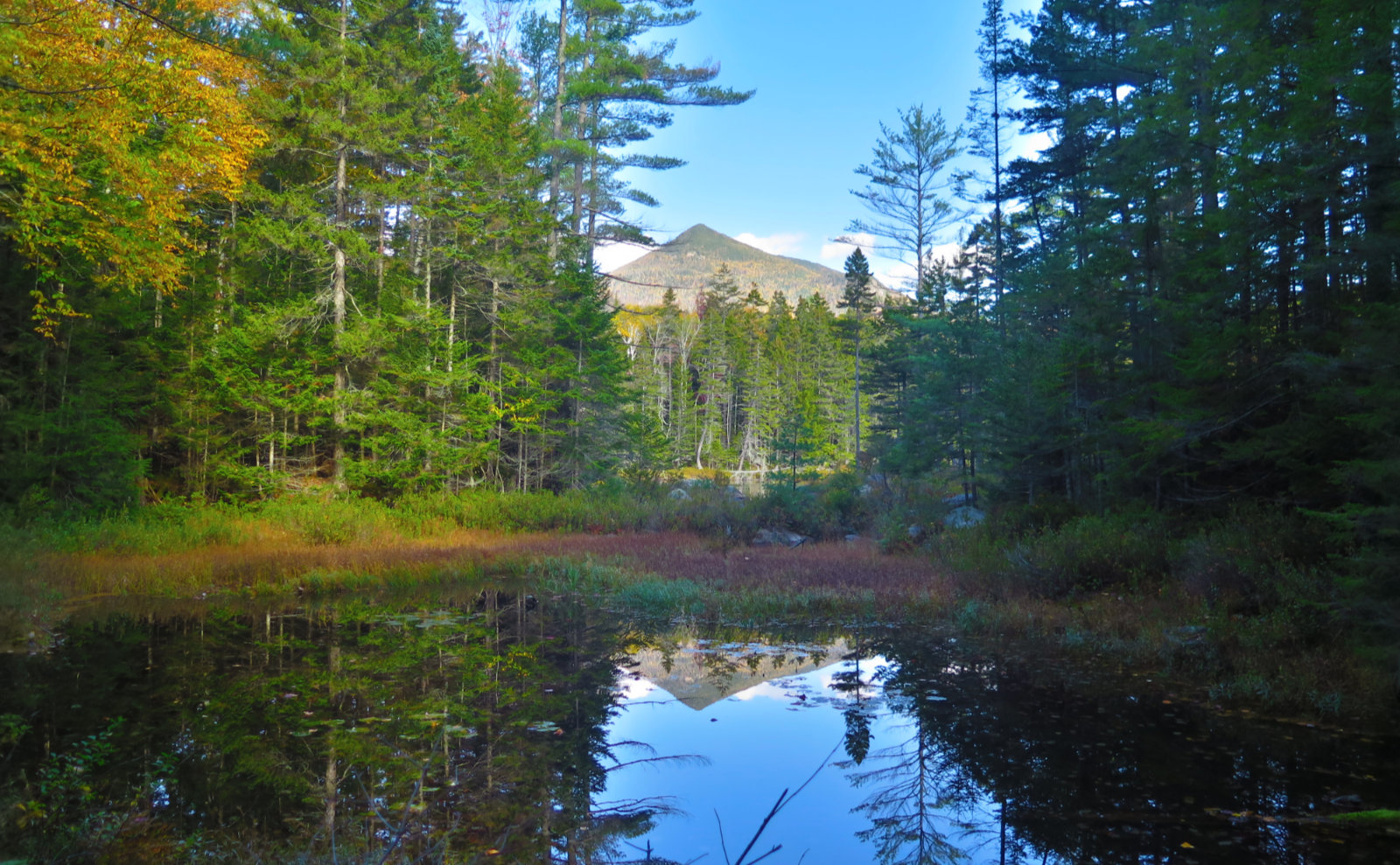
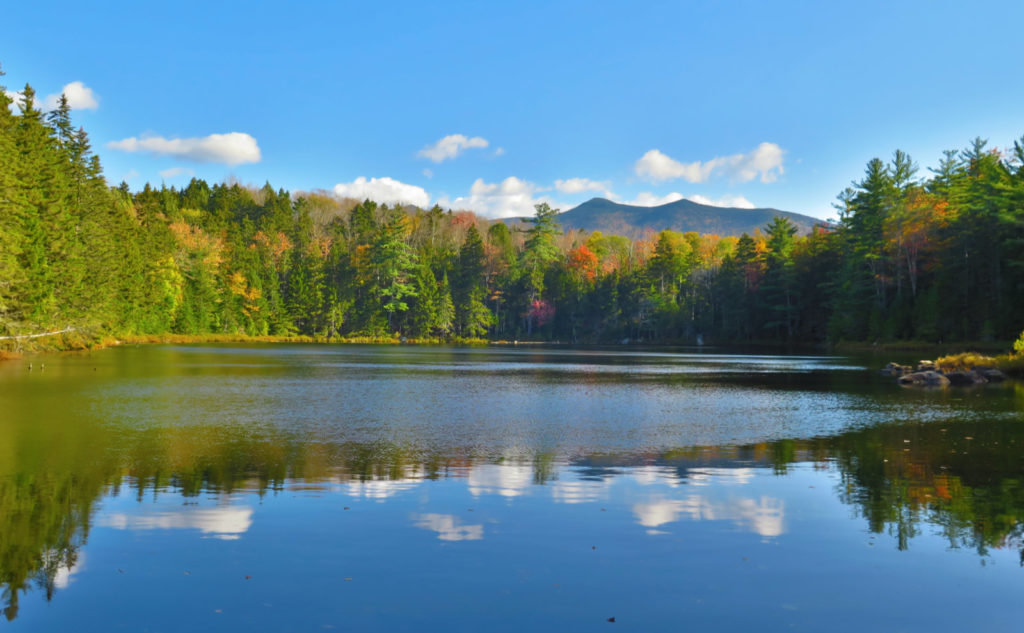
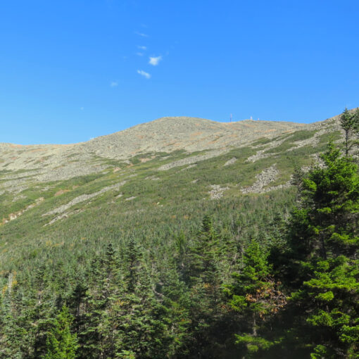
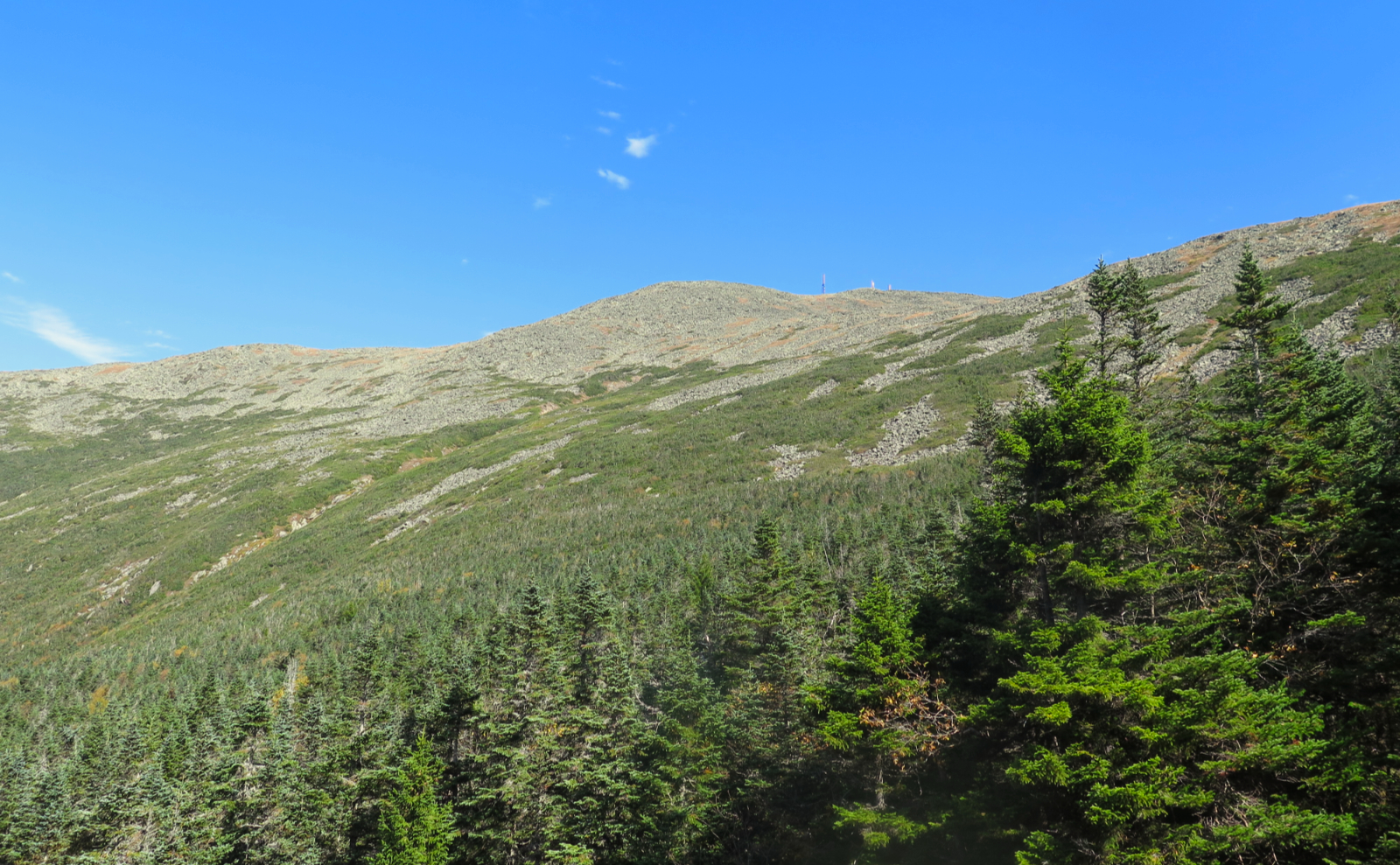
Owl’s Head Mountain (4,025 feet). Lincoln, NH. 2020-10-01 (Thursday.)
(Am I the only one to notice the interesting symmetry in today’s date?)
Via Lincoln Woods, Black Pond, and Lincoln Brook Trails, and the Black Pond and Brutus bushwhacks. 18 miles (approx) round-trip.
48 dF at the trailhead, 65 dF at the summit. Winds were a pleasant breeze in the trees. Mostly sun in the morning, with some fluffy clouds in the afternoon.
Trailhead: 0830. Summit: 1300. Car: 1800. 9 1/2 hours.
Boughs broken and blown down.
Back when I did this the first time, I had the pleasure of crossing through knee and hip deep water that was… let me put this delicately… ice freaking cold. In fact, it was so cold that it didn’t hurt until I took my feet out, and even then, they were completely numb for a couple minutes before I started jumping up and down with my feet pins and needles. Yuck. On the summit, I got lucky: I met a guy doing the grid, who was hiking the mountain for his 13th go-round. (No, he didn’t see the logic in that either. But it was a beautiful day, so he wasn’t complaining about his inability to count to 12.) His gift to me was a most excellent secret handshake: the locations of the two bushwhacks. Life got much easier after that.
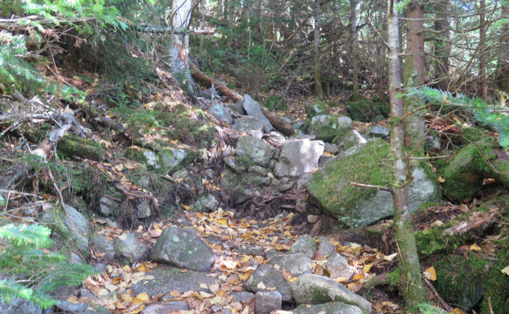
Black Pond knocked about a mile from the trip, but more importantly, it eliminates the water crossings that come early on, where the brook is wider and has more water. Pushing all that further upstream makes a huge difference. Brutus obviously eliminates the worst of the herd path. I’m not sure if it’s easier in toto, but somehow, it feels that way. It’s still crazy steep, but there’s no using hands to make upward progress.
I’ll probably do the mountain by “the front door” at least once more, just to get a more objective sense of how difficult it really is. But it’ll be a long, hot summer day, when dipping my feet into cold mountain water will be something far more enjoyable. So far, though, experience is showing summertime water levels are a tad thin. Setting aside the current drought, my recollections of last summer’s hike were that the water crossings were pretty simple.
I knew today would run long, so I actually woke up somewhat early, and got to Lincoln Woods before the parking lot got anything more than half full. Pro tip: by eight this morning, the lot was already filling up. On a Thursday. Plan ahead.
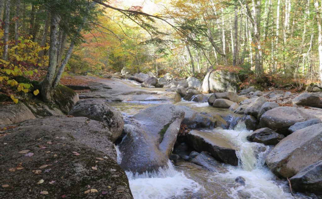
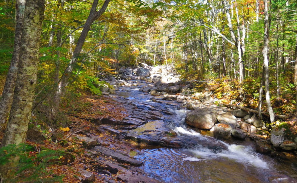
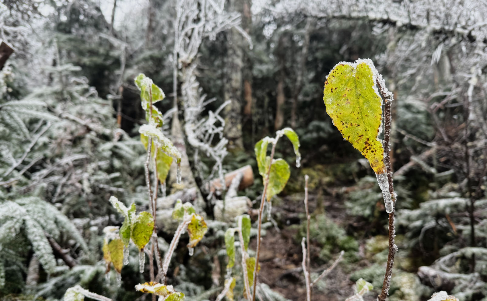
The weather was showing a chance of clouds, and perhaps a few sprinkles. Thankfully the gods smiled and I got to enjoy a bluebird day. There were some clouds in the afternoon, but sun reigned for the most part. That said, the weather did indeed kick up a fair bit the other day, and evidence of that was in abundance, and all over the trail, too. I spoke with a guy from Littleton, and he said reports were that winds were in the 50 MPH range at ground level. From the blow-downs, I believe it. Some rain had the brooks and drainages flowing, although with the exception of a couple mud puddles, my feet stayed dry throughout. All the water crossings were forded with very simple hops across rocks. By Saturday, I’m guessing things will have dried out further.
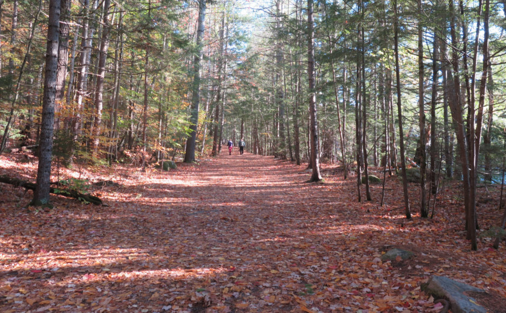
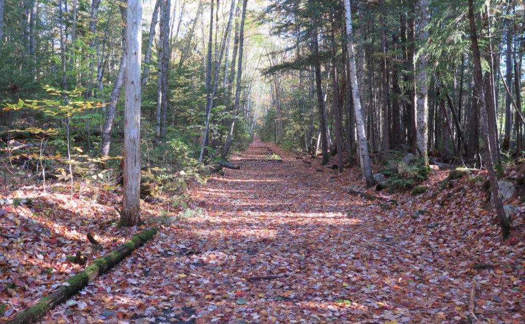
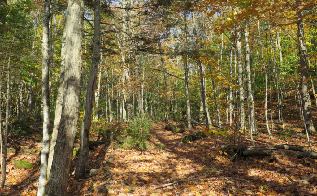
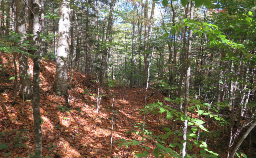
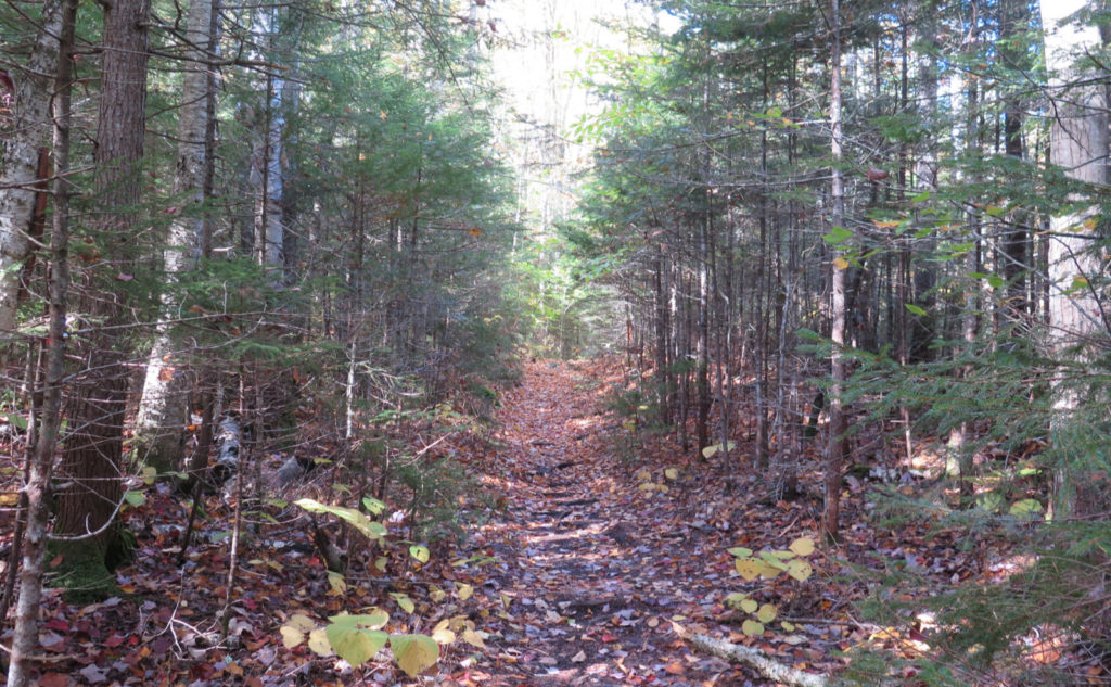
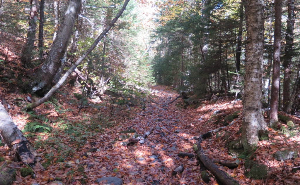
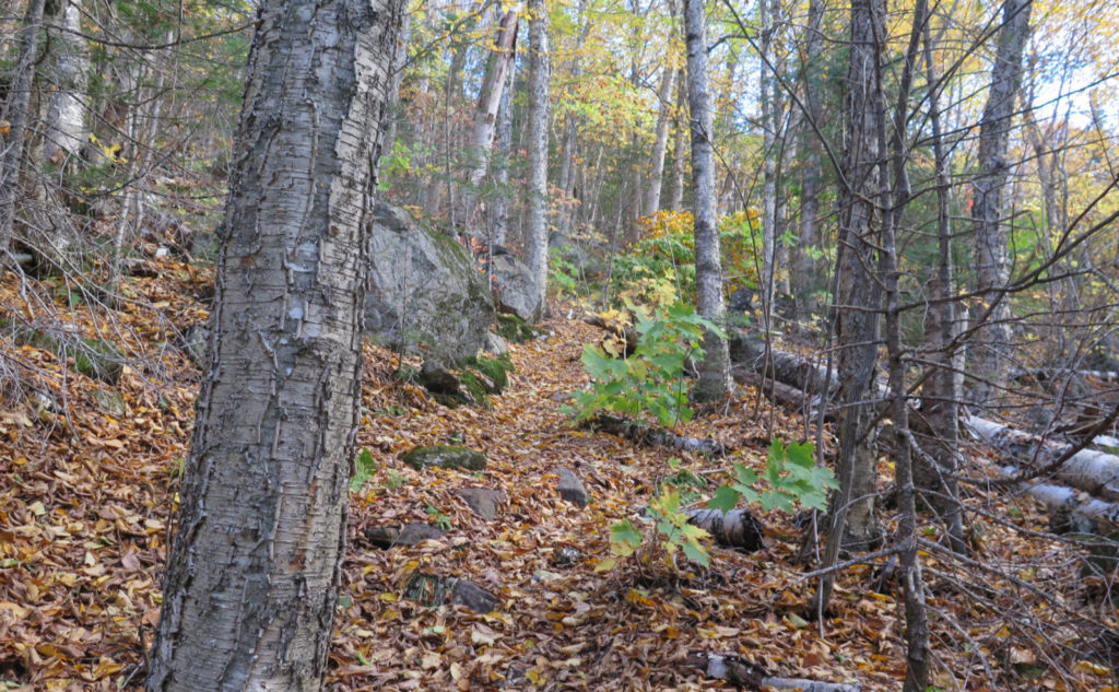
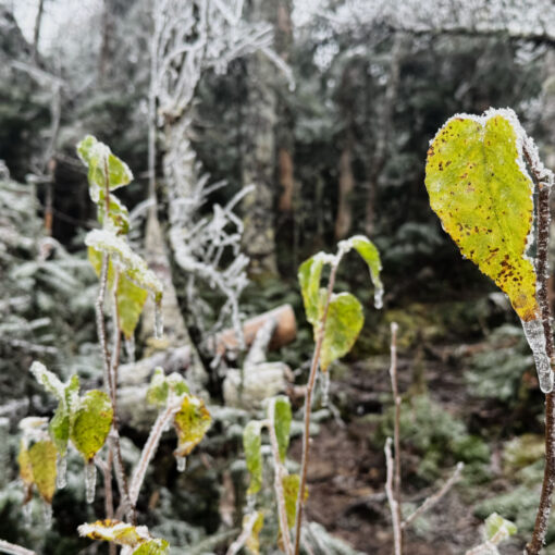
And so for the rest, I’m going to let the photos do the talking.

As always, stay safe out there.
Nuts and Bolts: Lincoln Woods trailhead is a large-ish complex located on the western end of the Kangamangus Highway, about 5 miles east of Lincoln. From 93, take exit 32, drive through town, and then carry on for a few minutes more. The parking area is on the left, just after the bridge over the East Branch of the Pemigewasset River.
Trailhead is on the far side of the suspension bridge, accessed from the corner of the parking lot nearest the ranger station. Blazes are yellow for the Black Pond trail and non-existent everywhere else. Occasionally there are cairns, but don’t count on them. The Forest Service can remove any they find, and it’s only from benign neglect that any might exist.
The Black Pond bushwhack is accessed from the far side of the pond, and trends north by northwest for about a mile, before joining with the Lincoln Brook trail. Brutus bushwhack is about 100 paces after the water crossing before the herd path. Go about ten paces into the woods before hooking hard to the left and going straight uphill before turning to the right (east). At the rocky drainage at about 3,000 feet, hook hard left (north) and continue “due up” until you collide with the herd path a little above 3,400 feet.
Black Pond is harder to follow than Brutus, due to a lot of leaf litter on the ground. But it’s there, and a lot of it is about half a shade away from becoming a fully fledged trail at this point. That said, if you’re not comfortable with your navigation skills, figure that out first before trying either bushwhack, or have a very good backup plan. Unlike many other places, a lot of very rugged terrain has you separated from hiking a straight line to the nearest road. Your backup plan should have a few layers of redundancy, especially now, when the days aren’t particularly warm, and the nights are getting particularly cold.
There was a surprise this trip, which was nice. As the Black Pond bushwhack neared the Lincoln Brook trail, I noted a quite nice camping area. And indeed, it was the site of Camp 12, from when these woods were logged. I don’t know how I missed it, because the land has very obviously been adjusted by the hands of men. Anyway, it looked like a fine place to pitch a tent, complete with a stone fire-ring. Obviously, practice bear-safe food handling and storage. There aren’t any bear-proof containers, so it’s all you. Remember that a fed bear is a dead bear, and a good population of bruins is a mark of a healthy ecosystem.
Note on the Gaia map below: the mileage listed is one-way, and doesn’t account for changes in altitude. As I trod on ground, my fitness tracker showed about 9 miles. Double that, and you’ll likely have over-estimated, keeping you on the safer side.
If you enjoy reading these posts, please subscribe — stay in the loop! Your email will only be used to alert you of new posts — typically 1-2 times per week. I will not use or share your email for any other purpose without your express permission. And feel free to share via social media using the buttons below.

5 thoughts on “Trip Report: October on Owl’s Head”
So happy to see this trip report as we are returning to owls head on Saturday for our fall version.
I’m happy the timing worked out right! If the weather holds, you’re going to have a great time.
Beautiful hike – thank you!
Glad you enjoyed it! It was a fine, if a bit tiring, day out.