
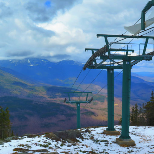
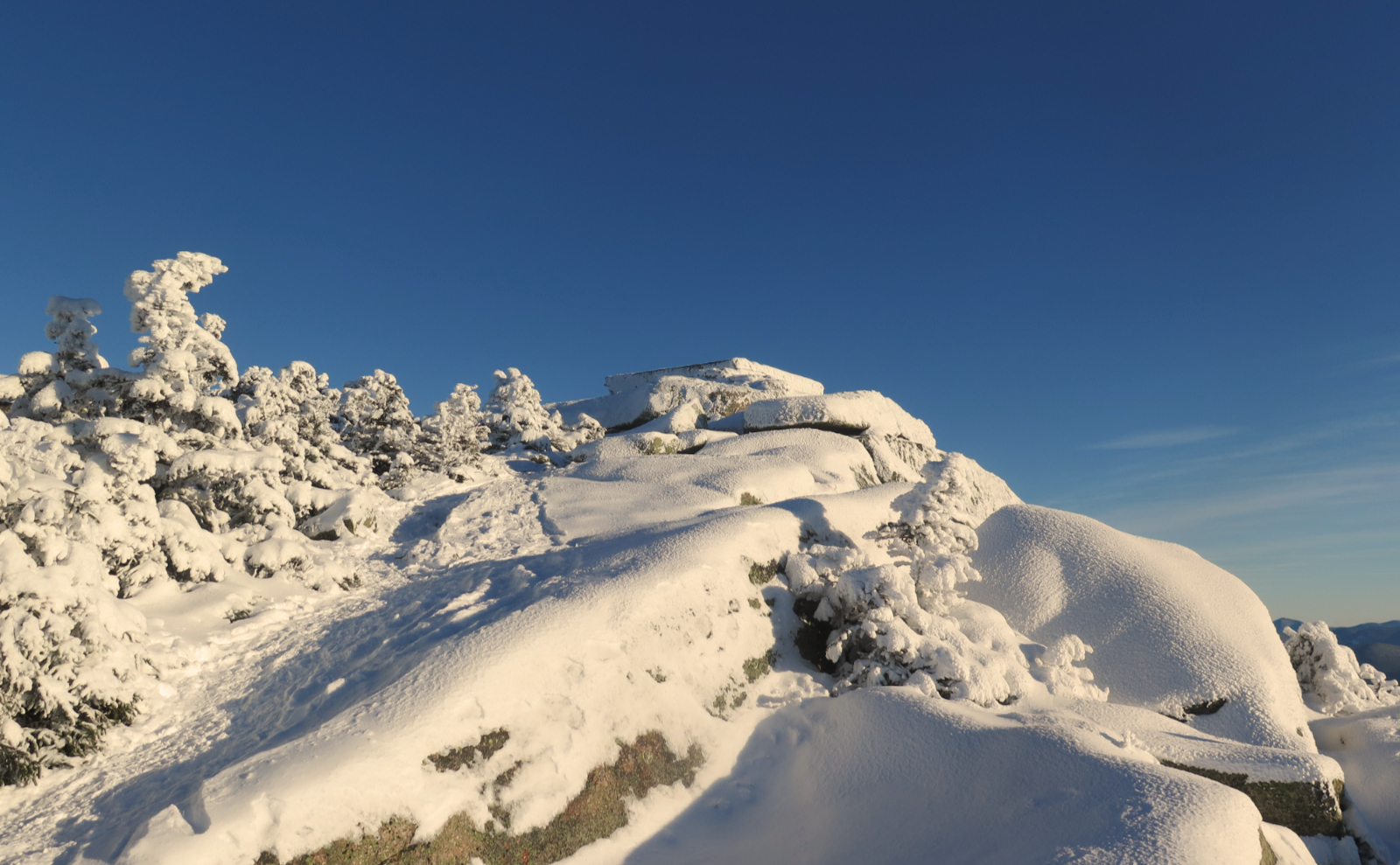
Mt Monadnock (3,165 feet). Jaffrey, NH. 2020-09-26 (Saturday.)
Via Marlboro Trail. 4.2 miles round-trip. 1,865 feet elevation change
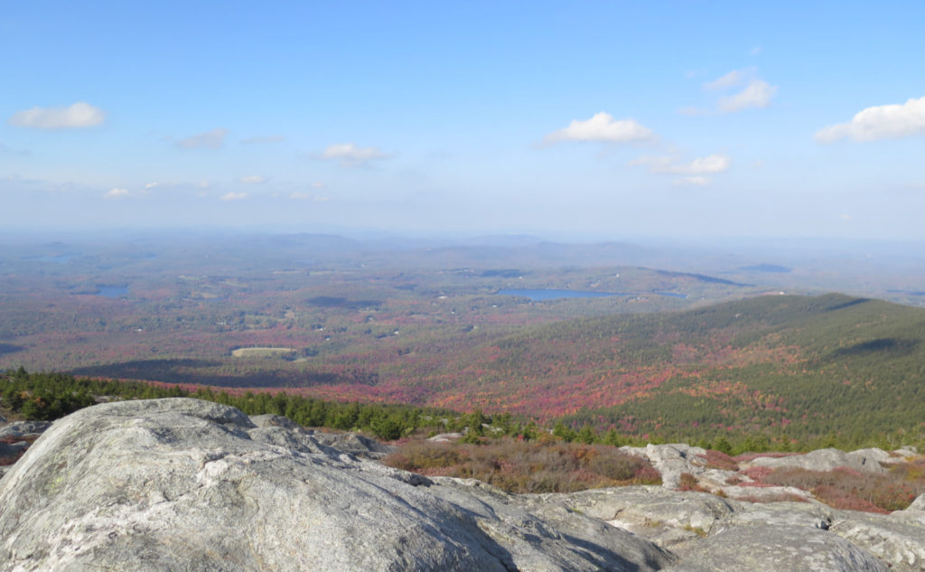
Temps were in the low 70s throughout. Winds were negligible in the trees, about 10-15 knots at the summit. Sun with a few clouds and some high altitude haze.
Trailhead: 1330. Summit: 1545. Car: 1730.
Making Miles up Marlboro on Monadnock!
If you go through my posts, you’ll notice I’m not much of a Saturday hiker. I get two days off midweek, which suits me: I can hike, then blog, and I’ve dropped some knowledge so you guys can make plans for your weekends. And all the while, I’m enjoying solitude, which really suits me. But a dear friend asked if we could do a hike, and so it made sense to break with my usual custom. I’d been wanting to do Marlboro anyway, so that worked out well. It was a good day.
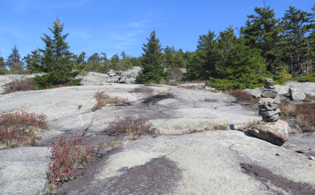
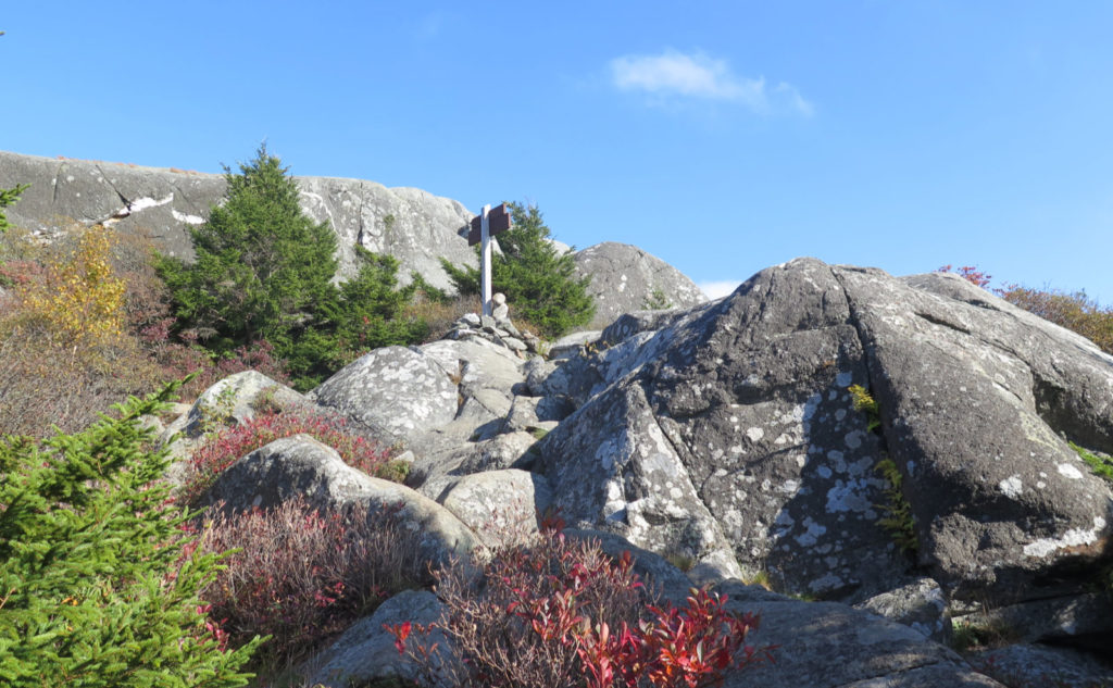
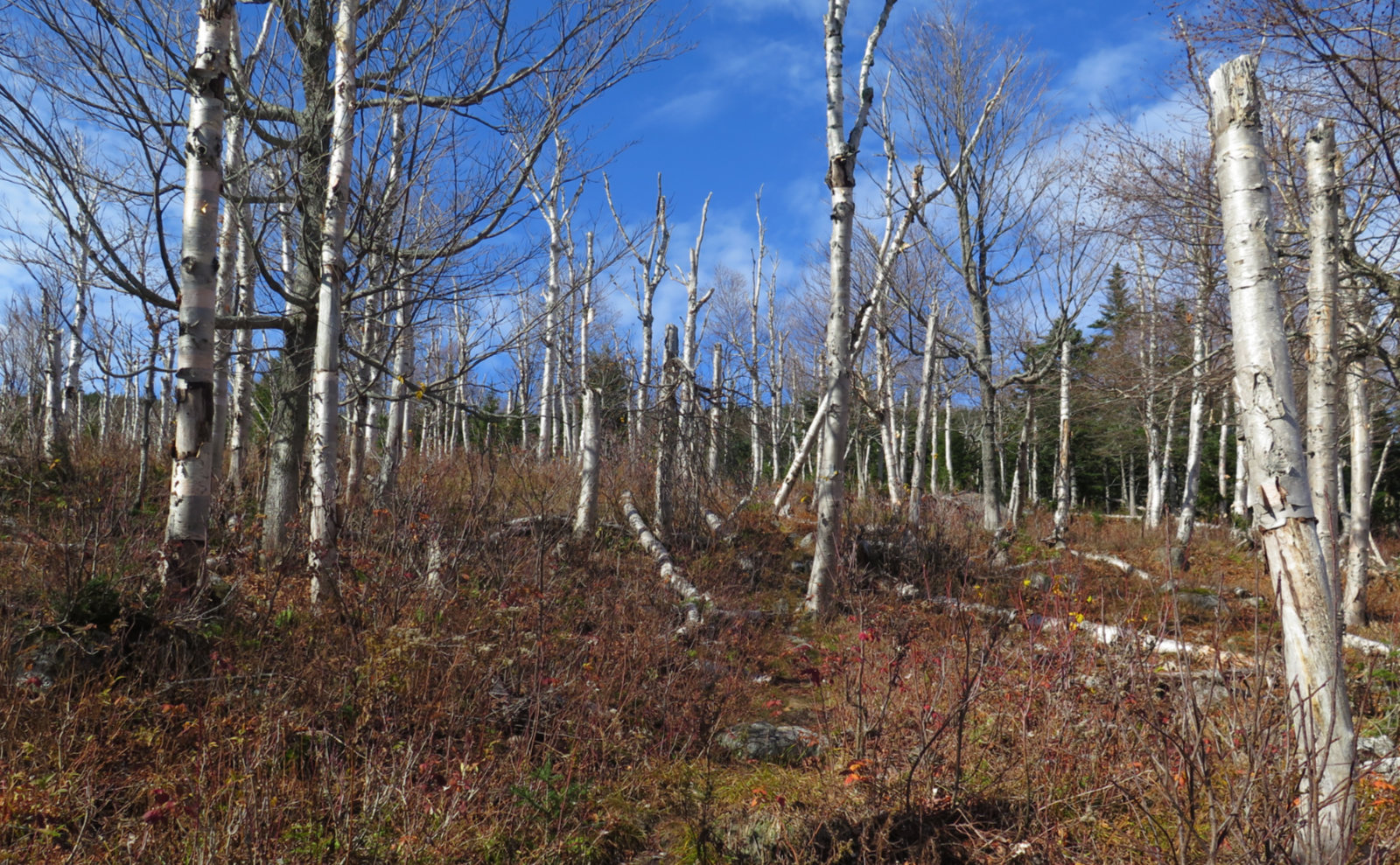
This being Monadnock, and probably the mountain I’ve written about the most, I’m going to let the photos do the talking. Suffice it to say this much: it’s another of Monadnock’s friendlier trails. I should probably do Birchtoft again because it’s been awhile, and I’ve only done the Old Toll Road to Parker, but at this point, I’ve either hit the summit, or descended from it, by all four compass points. That’s pretty neat, and something I’m not sure I’ve done anywhere else. There’s still the bajillion summit trails that I’ve yet to nail down, but slowly, I’m hiking every mile on every trail. It’s been a nice exploration of the different sides, and one that keeps quietly giving up its secrets. I see no reason to stop.
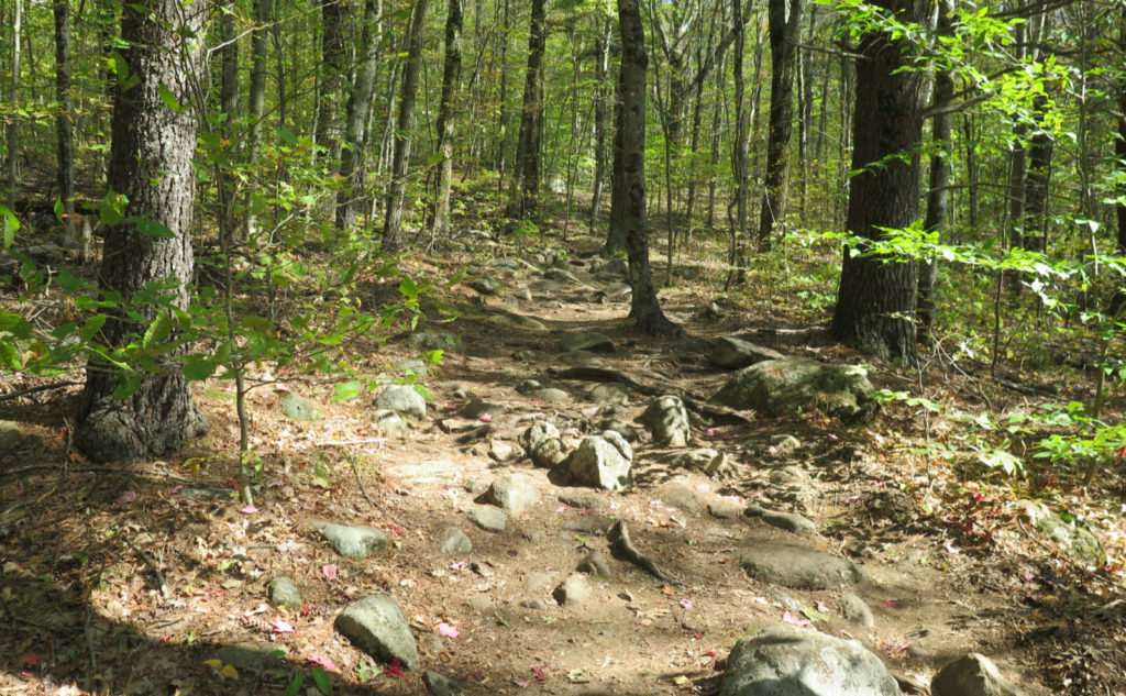
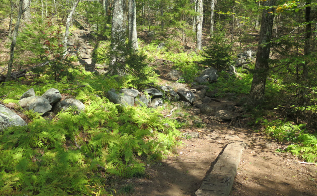
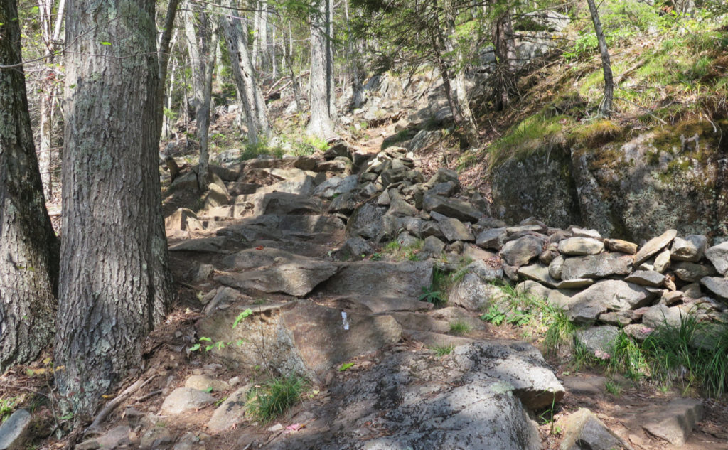
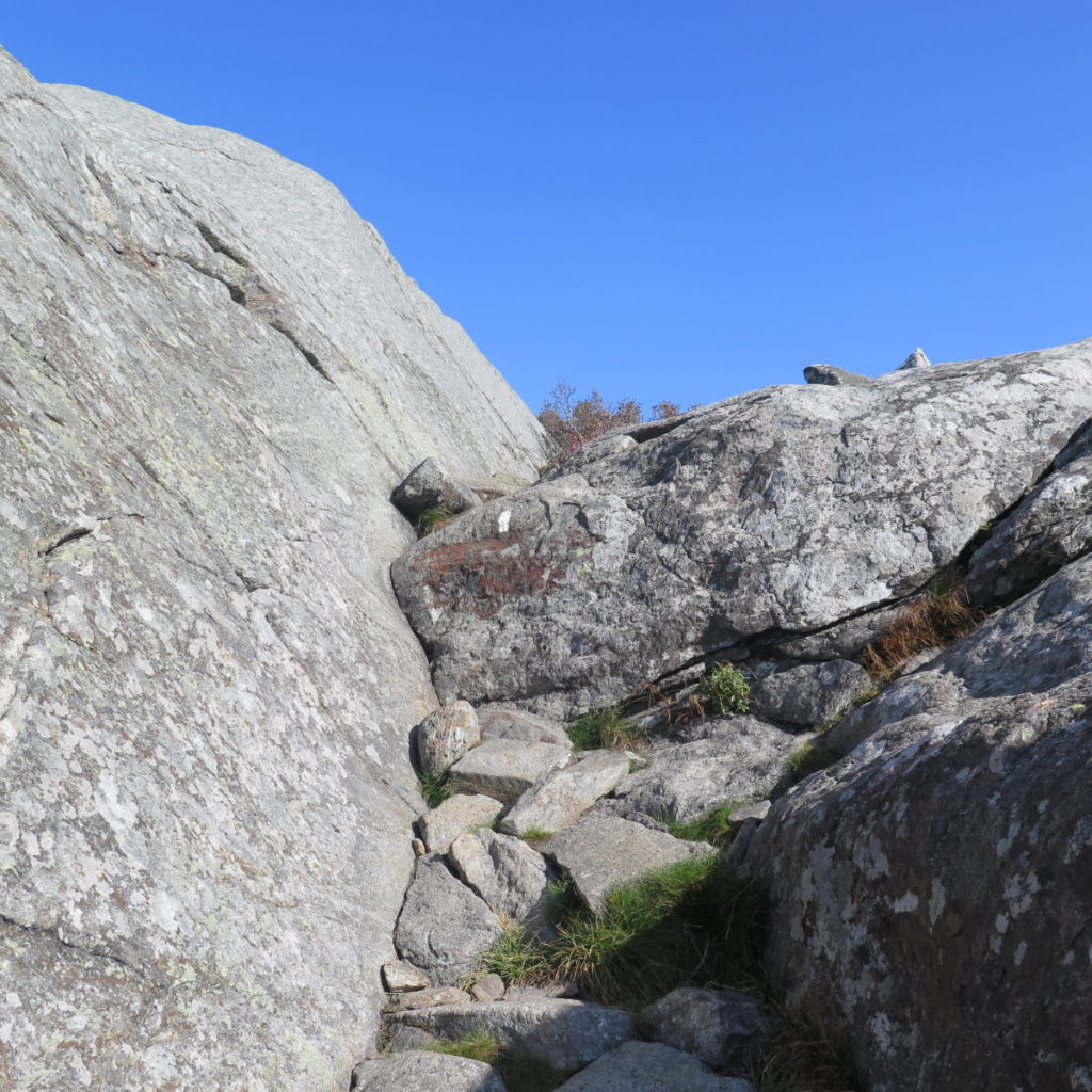
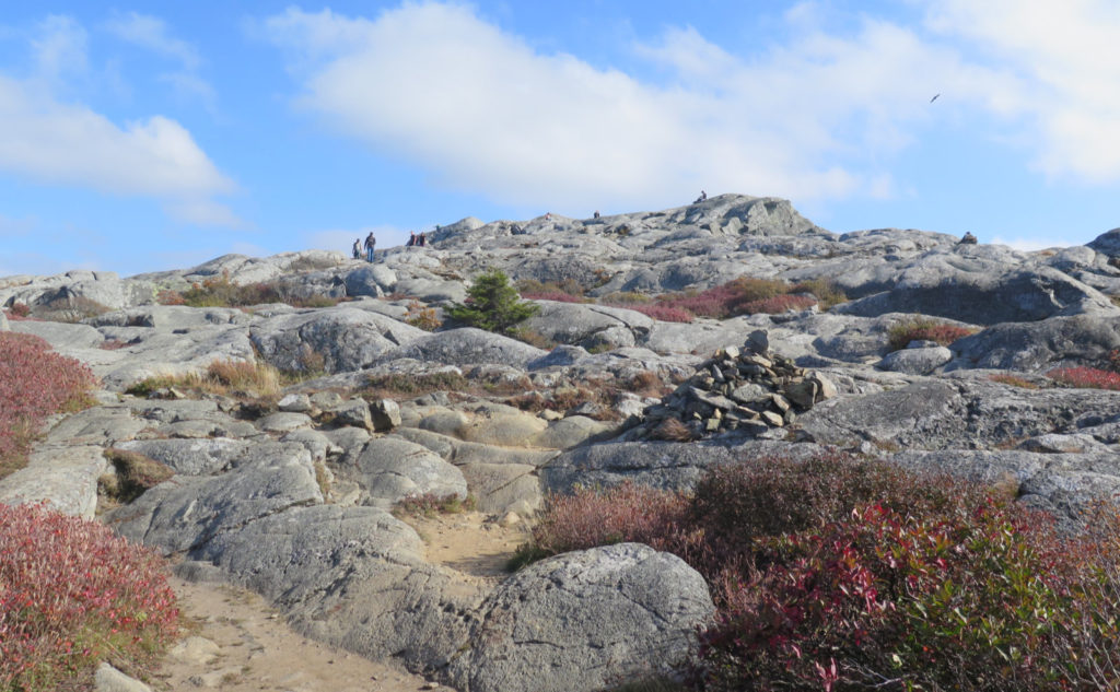

Much of today’s trail could break down roughly in two. First half was rocks and roots. Second half was rocky and ledgy. Overall, this isn’t even remotely one of the harder trails on the mountain. About as easy to get to as White Dot/Cross, but I think the ‘Dot is harder, due to its much more technical sections. Unlike that trail, this one featured nothing that required hand-over-foot climbing, and not even much scrambling. If it weren’t the second trailhead on 124, I think it might get more traffic than it does. Certainly worth a trip, maybe more.
As always, stay safe out there.
Nuts and Bolts: From the main entrance, continue on 124. In a couple miles, you’ll pass the entrance (on the right) to the Old Toll Road trailhead parking area. From there, it’s another 1.9 miles to Shaker Farm Road South. Go up about 3/4 of a mile, and parking is on the left. Walk back out from the parking area, turn left, and you’ll see the trailhead kiosk. Blazes are vertical white stripes, or a “W” painted on the rocks. Not hard to find your way.
Reservations Required: Parking reservations are required if you plan on hiking up White Dot/Cross, Birchtoft, or the Old Toll Road. Details are on the NH State Park website. The park makes it clear that they will turn away hikers who don’t have reservations for those trailheads, so don’t set yourself up for some aggravation. There are no reservations required for the other trailheads as I write this, however, I was told by some hikers that they had shown up without reservations at the main entrance, only to be directed to the Marlboro Trailhead. This can have the knock-on effect of filling up Marlboro, and there are “NO PARKING” signs everywhere on Shaker Farm Road outside the parking lot. I saw no illegally parked cars, which either means the lot was emptying as fast as new hikers arrived, or the neighbors are quick to have scofflaws towed. It’s a very long walk, so that’s not one I want to test out. Have a backup plan, as you should for anything in the mountains.
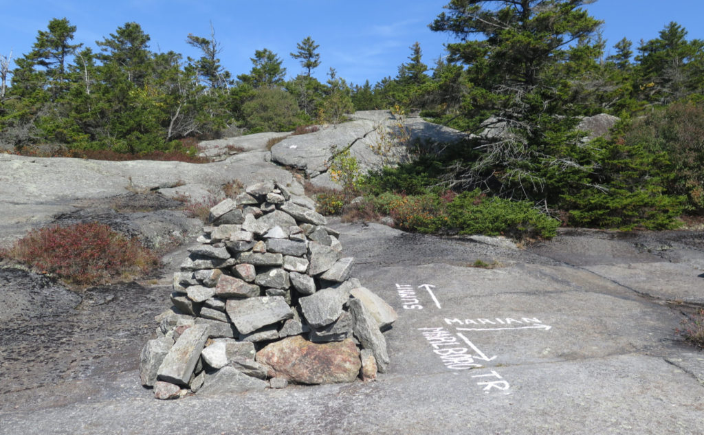
On the way down, mind that you’re also on the Dublin Trail for the first bit until you hit Jim’s Junction. Oh, and be sure, heading down from the summit, that you’re going off the correct side. Some hikers today set out facing the wrong way, and nearly had themselves a very long walk back to the car. (And for the love of the mountains, carry a paper map and compass!)
If you enjoy reading these posts, please subscribe — stay in the loop! Your email will only be used to alert you of new posts — typically 1-2 times per week. I will not use or share your email for any other purpose without your express permission. And feel free to share via social media using the buttons below.


5 thoughts on “Trip Report: Marlboro on Mona”
Ha ha, Brings back memories. I got this one from the Best Hikes With Children book and brought my three in 1994. Made every mistake in the book. Late start, didn’t leave plans, no headlamp or flashlight. My son ran into the woods when we were descending, we caught up, tried to bushwhack, got lost… Eventually found a road and the husband brought us to our car (3 miles away!). We tried again in the spring, this time he stayed on trail, but like you mentioned you have to be careful it’s the right trail. A nice family gave us a ride back to our car. Needless to say, I have learned my lessons, and except for a sprained knee coming back from Waumbek, we’ve managed to stay out of trouble! Oh yeah, and the second time I went to that trailhead I bottomed out and wrecked my muffler!
One of my summer trips (I think it was Zealand, or out that way) I ended up with a flat. So yep, I also say “Boo!” to car troubles.
As often as I do Monadnock, I still find stuff that brings me back to do it again. With all the COVID-related parking shenanigans, though, I’m taking that element into my planning now. But it’s still worth visiting often.
Just a PSA for those that might decide to try this trail – as of today 9/18/22 last 1/4 mile or so of shaker farm rd before the trailhead requires a high clearance vehicle to access without really taking some chances. It looks like more atv trail than rd. I did fine in my Tacoma but just a word of caution.
Thanks for the update! It’s always good to exercise caution if the end result could mean leaving critical parts of your car’s undercarriage behind. Park half a mile away? OK, another 10-15 minutes walk through the woods. Gosh darn. 😀