Mt Monadnock (3,165 feet). Jaffrey, NH. 2022-07-03 (Sunday.)
Via Metacomet-Monadnock Trail (AKA the Royce Trail), Monte Rosa trail, Smith Summit trail, Fairy Spring trail. Approx 5.5 miles round-trip.
75 dF. RH around 50%. Winds were non-existent in the trees, a modest, yet pleasant breeze in exposed areas. Abundant sunshine throughout the day.
Trailhead: 1430. Monte Rosa: 1600. Summit: 1645. Car: 1830.
How many times I return, and still, I discover the new.
The last couple weeks at work were kinda rough. I won’t get into details: not to put a fine point on it, but my job is a bit extreme. In short, it’s been emotionally draining. Normally I need the forest to keep my head installed correctly. Lately, I’ve been craving “cave time.” And so, recognizing I’ve not been to the forest in a bit, my logical self was bargaining with my irrational self, trying to get out of a rut. Hiking something small and non-committing, without much of a drive, would be the ticket. The icing on the cake would be that I could hike a new trail, and maybe get some more red ink on my map.
On one level, I’m wrapping my head around the craziness that Mt Monadnock was what I whipped up out of all this mental horse trading. On another level, there are more than a few trails that I haven’t yet hiked on that mountain. I could spend the majority of my time far away from crowds without much trouble. And it has the benefit of feeling like home, even if I felt a bit alienated by the presence of humans at the summit.
And so there I was, driving to the Gap Mountain trailhead, along roads I’ve long since become familiar with. Driving through Peterborough and Jaffrey over some number of decades, I never feel out of place. I’ve witnessed the change over time as well as what’s remained the same. As one does. There’s a new theatre on Main St. And yup, the lawn in front of the Monadnock Inn is immaculate as ever.
From way back when
My first initiation to the mountain was with the Boy Scouts, when we likely hiked up Marlboro, and down Pumpelly. Might have been the other way around, but I do remember those two names more than the others. After that, White Dot was the way I went, and so it remained for years and dozens upon dozens of hikes — including three where we portaged at least one canoe to and from the summit. (Someone mentioned there was bitchin’ whitewater. I guess we were misinformed, but it seemed like a good idea at the time.)
I have vivid memories of a night hike in winter. The mountain is perhaps more striking with snow, especially on a bluebird day, when the sky is the deepest shade of blue you’ve ever known. But standing on the summit, under a bright sliver of moon, having little need for a headlamp… wow!
And now, the get-go
Hiking up the M-M trail was a nice way to meet the mountain. Notably, the hike started literally across the street from the mountain, so on that level, it made itself memorable from the start. How often do you start a hike, cross a road, and then head up the mountain? Not many… although there is the Hancocks, to be fair.
The day was amazing from a weather standpoint. Though this was the 4th of July weekend (and a big reason why I didn’t want to deal with traffic and crowds) the prognosticators called for very clement weather. The gods smiled, and so it was.
On shadows
From time to time, the unbridled sunshine meant shadows on various things. I was brought to recall Carlos Castaneda, on shadows, where he talks about the shadow of a boulder. It’s at once the boulder, and the not-boulder. The shadows of the trees lay across the trail, showing their presence nearby, but the shadow isn’t the tree. Food for thought.
I saw the oversized shadow of a turkey vulture in the trees, as it flew overhead. The light passed through the tops, the middle, and the bottom of the forest, and as the bird flew past, its shadow touched leaves and branches at all levels. It was still the same bird, but the shadow said something different. It became bigger, more obvious.
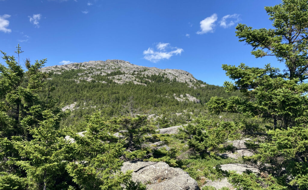
Views, and a hop
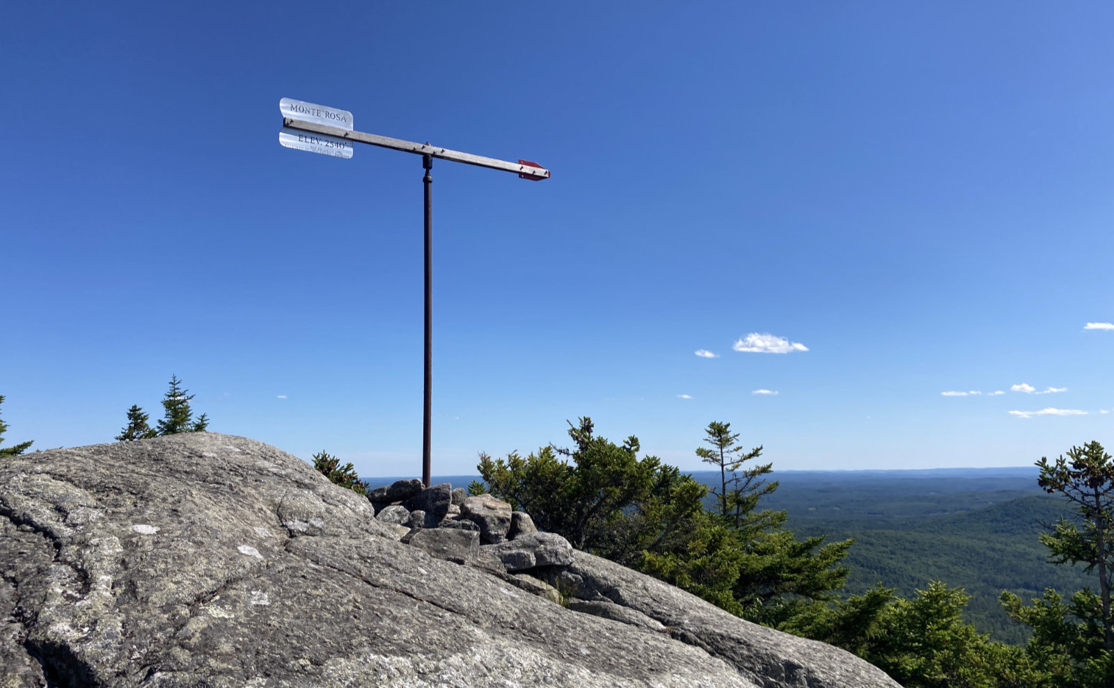
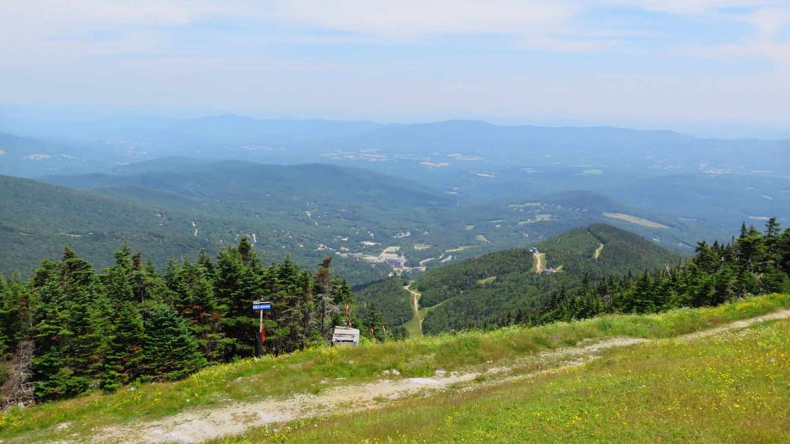
I got to Monte Rosa, which is a fine vantage for expansive views, especially on a day like today, where the air was particularly clear. I was low enough that the shoulders of the mountain got in the way of points to the east. That said, I could see into Vermont, for sure, the Green Mountains stretching from north to south. Somewhere beyond the curve of the earth lies West Virginia, and Amicalola State Park. Still dreaming of that trip…
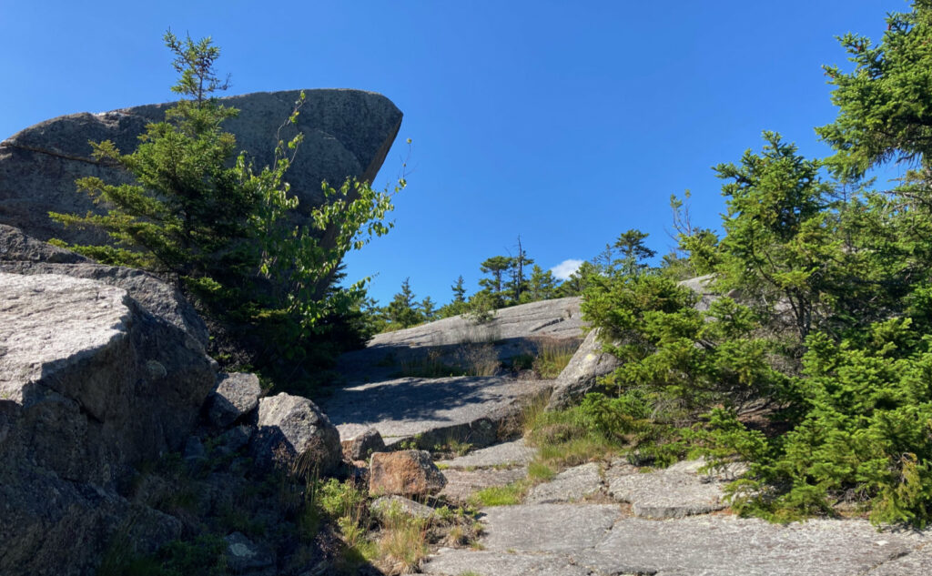
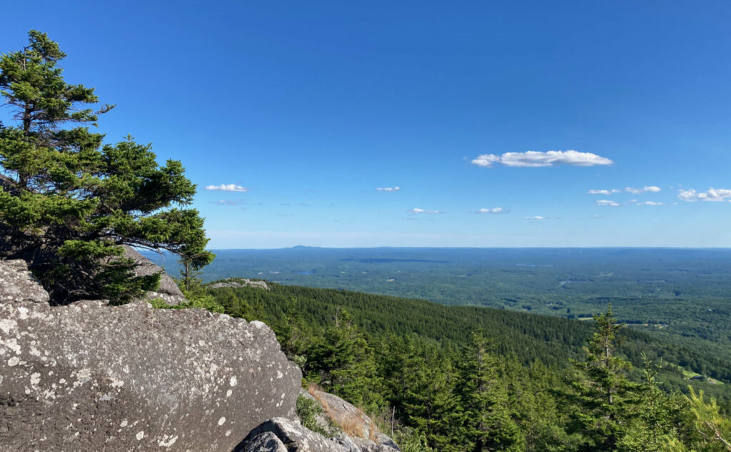
The “hop” to the summit from there isn’t quite as simple as that. This isn’t the rocky route, but a half mile of trail is still a half mile. You’ve gotta hoof it. But that said, it’s not the White Dot Trail. There were some rocky and ledgy bits, and once I was truly out of the trees, the summit cone is much the same experience whichever side you come from. I made decent time, and before long, I was standing on the USGS benchmark. Views were all-encompassing under a rich, azure sky. I know for sure that Boston was visible, as were the usual other things.
Time to make myself scarce
Beyond that? I just wanted to get away from the people, so I didn’t stick around much longer than to find the benchmark, note that Boston was there on the horizon, and orient myself in the direction of the trail down. In autumn, when things are slower, I might stick around longer and look around more. It wasn’t particularly crowded up top, nor very noisy, but I needed to be back in solitude.
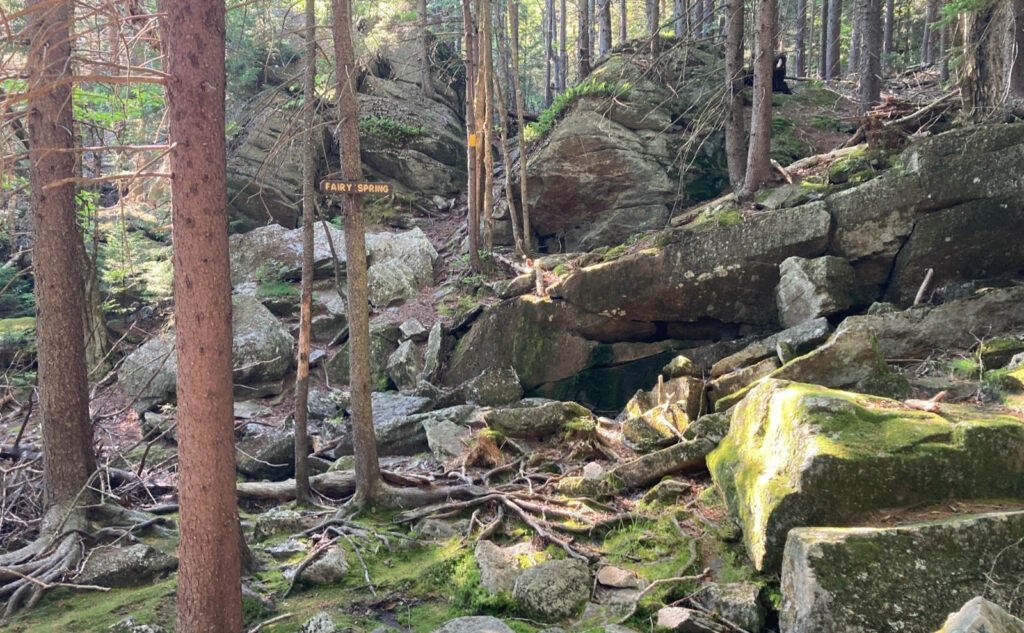
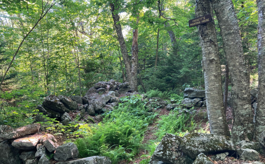
And so it was. The trip was less about moving across a trail, up a mountain, across a summit. Today was more about the travel through inner space. Head cleaning. But I found a new trail, a new way to the summit. I’ve been on this side of the mountain before, but at a time when it was less obvious that I was on this trail or that. (And over on this side, that’s a big question in some places.) There will be more exploration in this area; not the least, but Thoreau was known to visit. Today, I found the remains of an old mountain house. So there’s things left to explore. I’m not done yet.
And wow, the shadows.
As always, stay safe out there.

Nuts and Bolts: Drive as if you’re heading to the Mt Monadnock park headquarters — the trailhead for the White Dot/White Cross trails. Stay on 124, driving past Dublin Road (where you’ll see the huge state park sign). A bit past that, you’ll notice Bullard Road on the left. Drive down about half a mile, and you’ll see a Forest Society sign on the left, marking the Gap Mountain trailhead. Park here. Note that parking on 124 is a bad idea. In many places, it’s banned outright, and in the rest, you’re just asking for trouble. The walk from the trailhead at Gap mountain to 124 is only a few minutes. Don’t be that guy.
Another way to deal with directions is to put “125 Bullard Road, Troy, NH” into your GPS, and hit “go.” Alternately, it’s near enough to the junction of Bullard Road and Old Mill Road in Troy. Note the sign at the entrance to parking declares “No Winter Access” so have alternate plans in the chillier months.
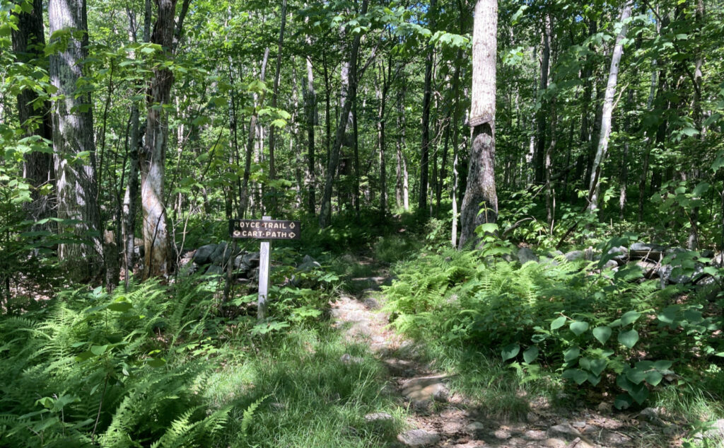
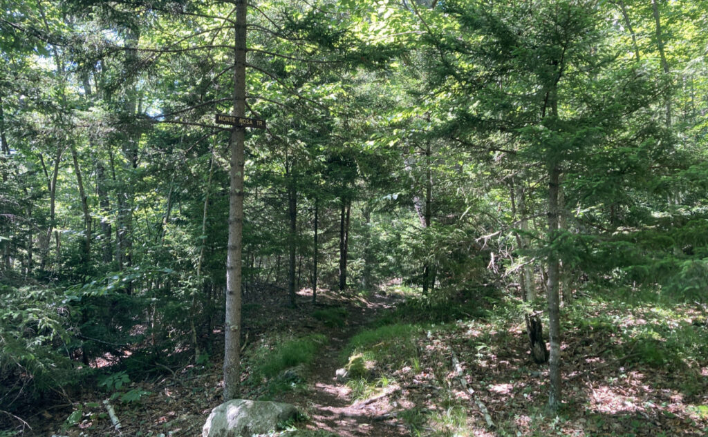
Trailhead will be at the far end of the parking area, not hard to find. Blazes are mostly abundant, but you might have to poke around in a few places. Note that this isn’t the most popular route by a long shot. There is no shortage of overgrown stretches of trail, or spots that need a little love. If you’re used to the well marked, virtually paved trail that is the White Dot, this one will be a moderate stretch of your navigation skills at times.
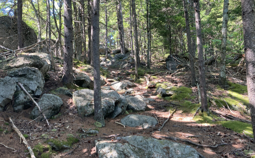
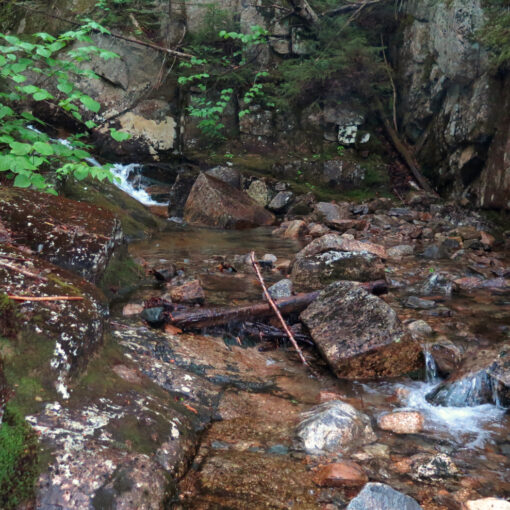
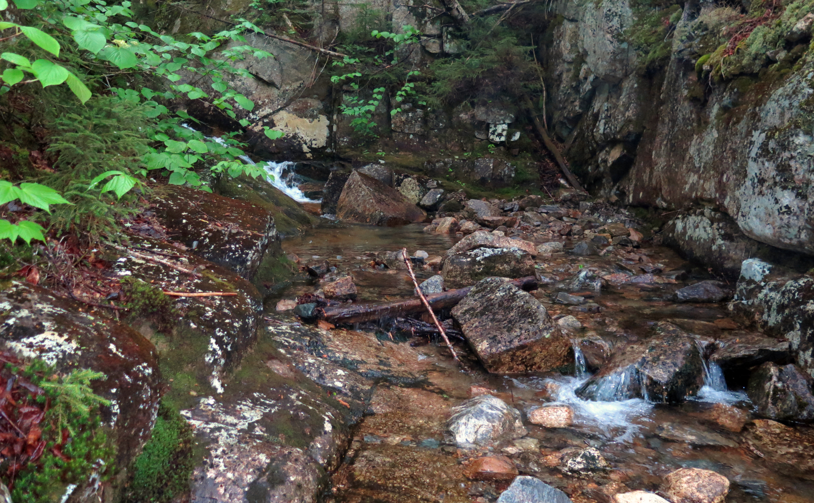
In terms of terrain, it maps well with most of the rest of the mountain. Soft duff and occasional muddy spots down low, transitioning to rocks and ledges on the upper sections. Unlike White Dot, there’s no scrambling. Fairy Spring was bone dry when I visited, and there’s no other source of water on the trail; be forewarned.
If you enjoy reading these posts, please subscribe — stay in the loop! Your email will only be used to alert you of new posts — typically 1-2 times per week. I will not use or share your email for any other purpose without your express permission. And feel free to share via social media using the buttons below.
Find me in the mountains, on this blog, or on Twitter: @Protean_Hiker
One thought on “Trip Report: Mt Monadnock, from the gateway to Gap Mountain”