Mount Osceola: 4,340 feet. East Osceola: 4,156 feet. Campton, NH. 2019-07-23 (Tuesday.) By Mt Osceola Trail. Approx 8.4 miles, round trip.
Trailhead: 1110. Osceola summit: 1240. East Osceola summit: 1325. Osceola summit redux: 1410. Car: 1540.
Cloudy to start, becoming partly sunny by East Osceola return. Temps in the mid 70s with a light breeze throughout.
Determination pays off!
I went to bed last night having a sense that today would be soggy. Nevertheless, I set an alarm because I felt the need to be outside some more. Again with the resistance to getting out of bed, but I think things worked out for the better. Driving up was rain, up past the capitol region, but by Tilton, it was starting to fade out, and by Ashland, it was starting to dry out. I left the house thinking I’d be deploying my pack cover at the least, but by the trailhead, it was completely unnecessary.
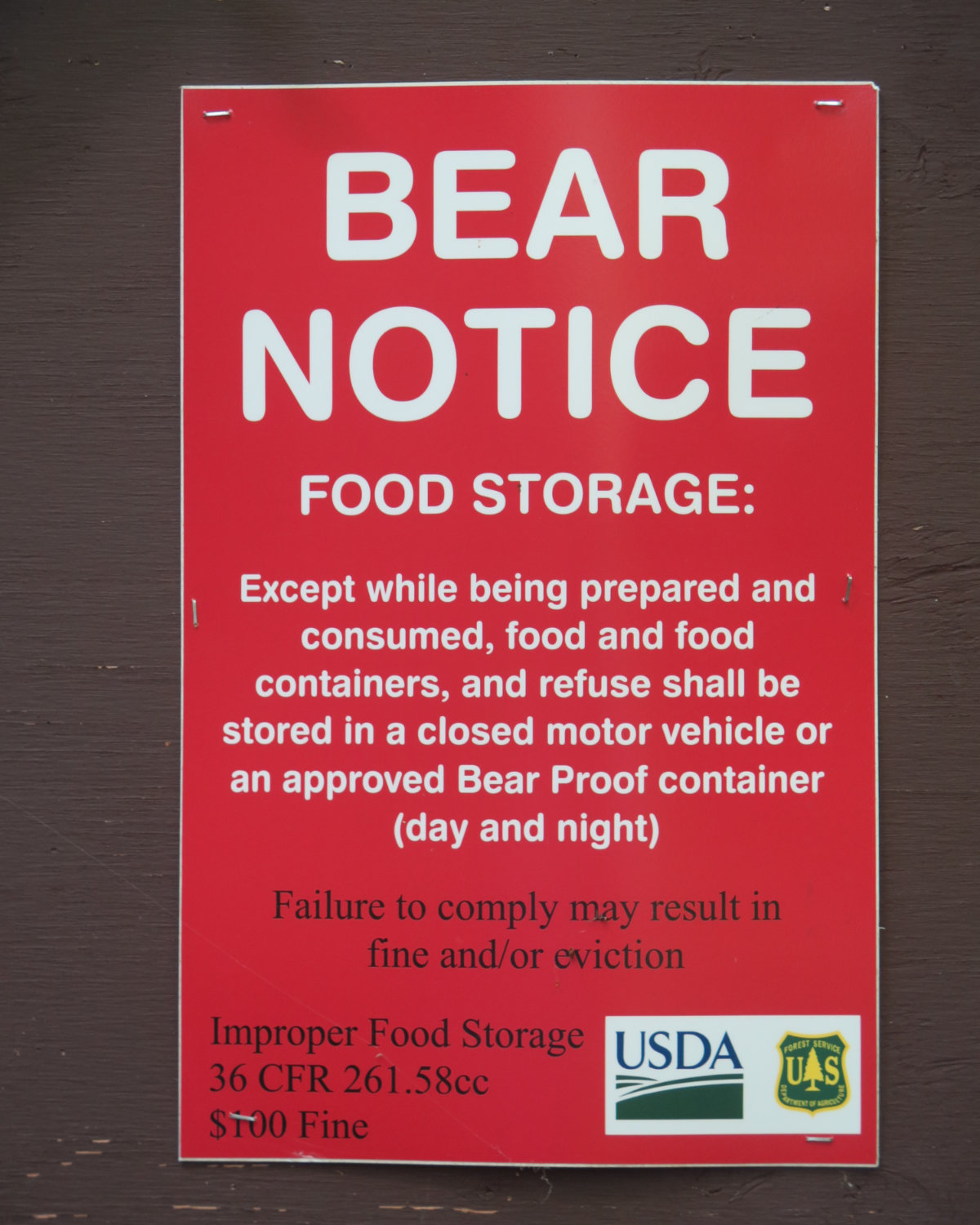
On the way in (this by Tripoli Road) I had a chat with a forest service guy regarding the recent bear issues. They’ve just reopened the campsites, but there are warning signs everywhere. So far, they’re trying to de-habituate a sow and her cubs with noisemakers, but I got the sense that relocation is going to happen at some point. For people on the move, mama and her cubs are no real threat — we’re not on their menu. But folks, if you’re camping, please be careful with your food, because our delicious, high calorie meals are just as tasty to them as to us. A fed bear is a dead bear. Keep the wilderness wild. It’s safer for everyone.
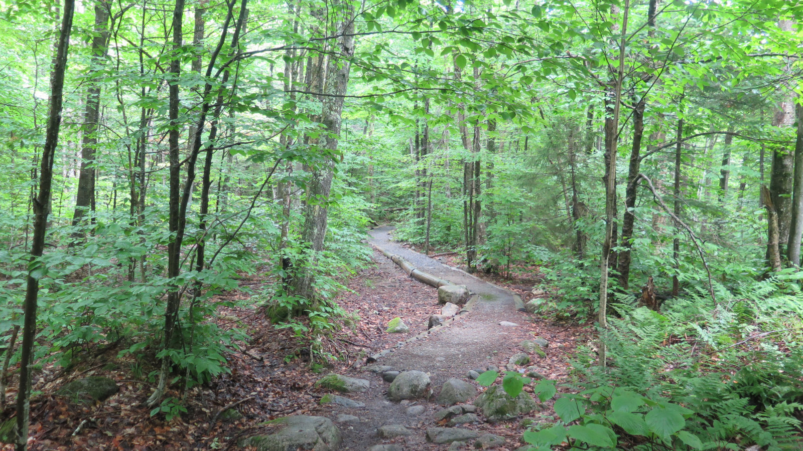
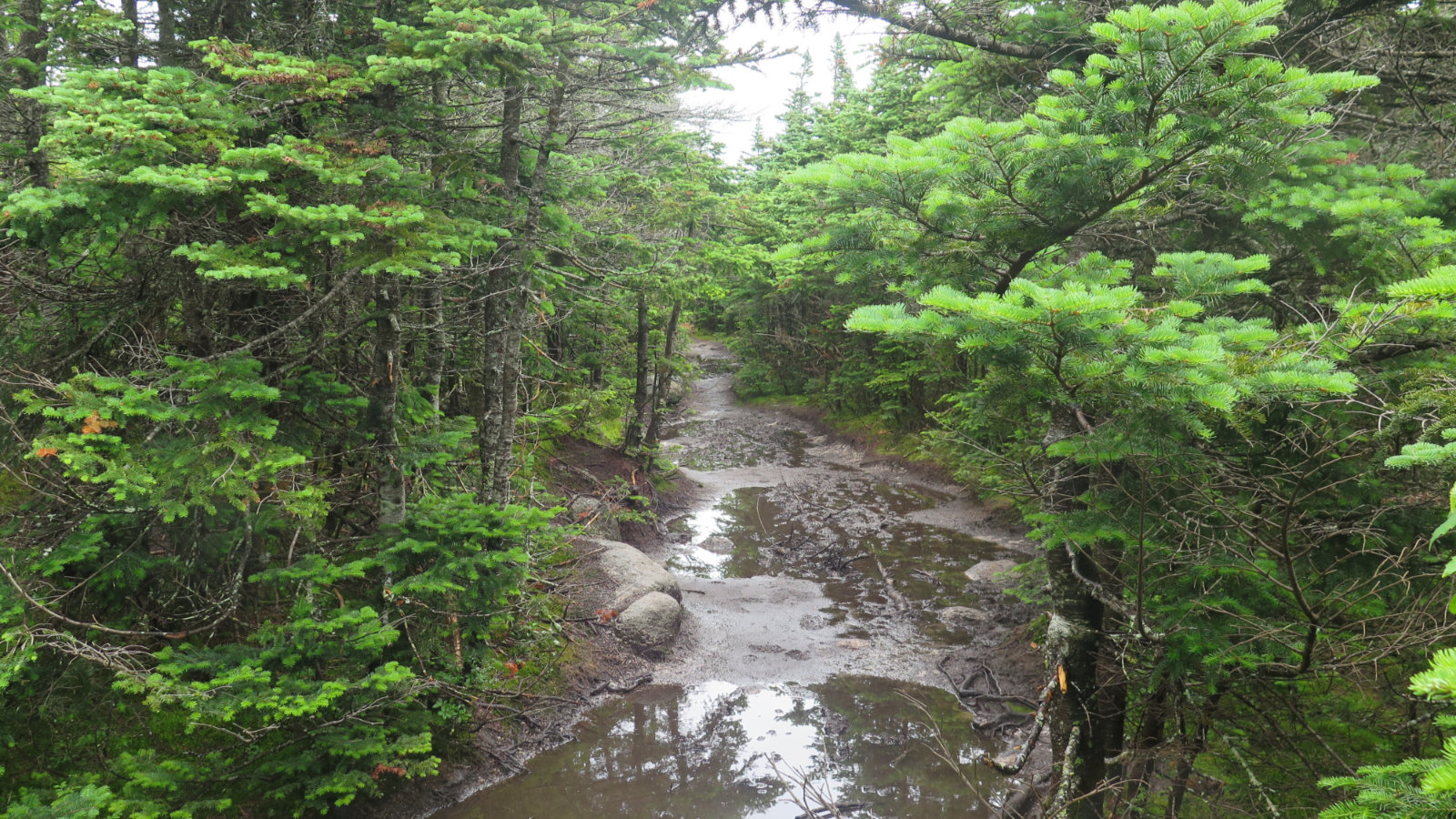
That being said… I got to the trailhead and counted a small handful of cars. I wouldn’t be alone on the trail today. Heading out, the trail was quite rocky for the first mile or so, albeit at a steady but reasonable grade. Despite all the rain, the mud could have been much worse. I crossed a modest amount, but it never felt endless like it has on some other trails I’ve hiked recently. (What mud is there, though, is unavoidable, so forget any idea that your boots will remain clean.)
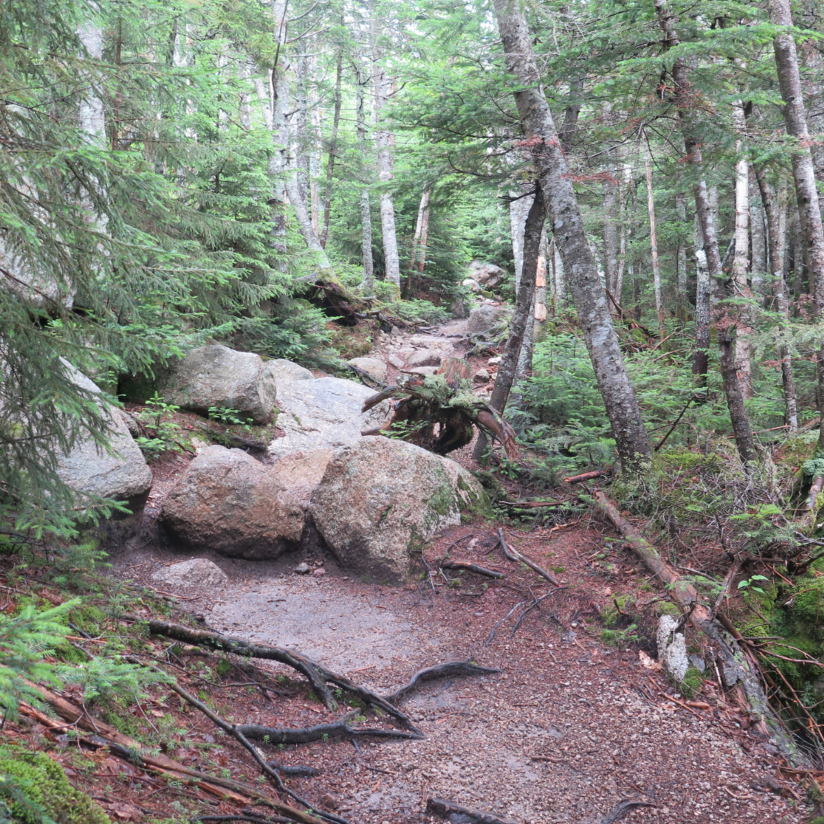
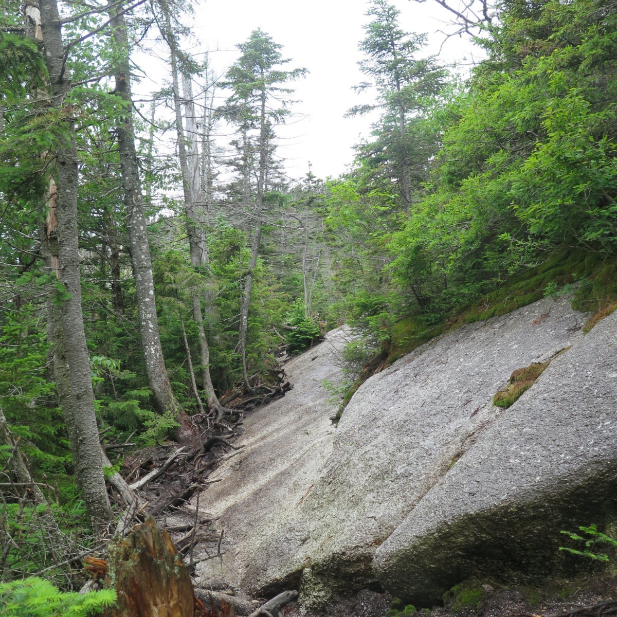
At about the halfway mark, the rocky trail began to give way to leaf litter and a noticeable amount of ledge and sheets of granite. It felt a bit steeper, but without having to rock hop all the time, it also felt like I was having an easier time making slightly quicker headway. Osceola is known for having a limited view from its summit, but that didn’t stop me from seeing things on the way up. I had Tecumseh and Sandwich as near-constant companions, even if I could only see them through the trees.
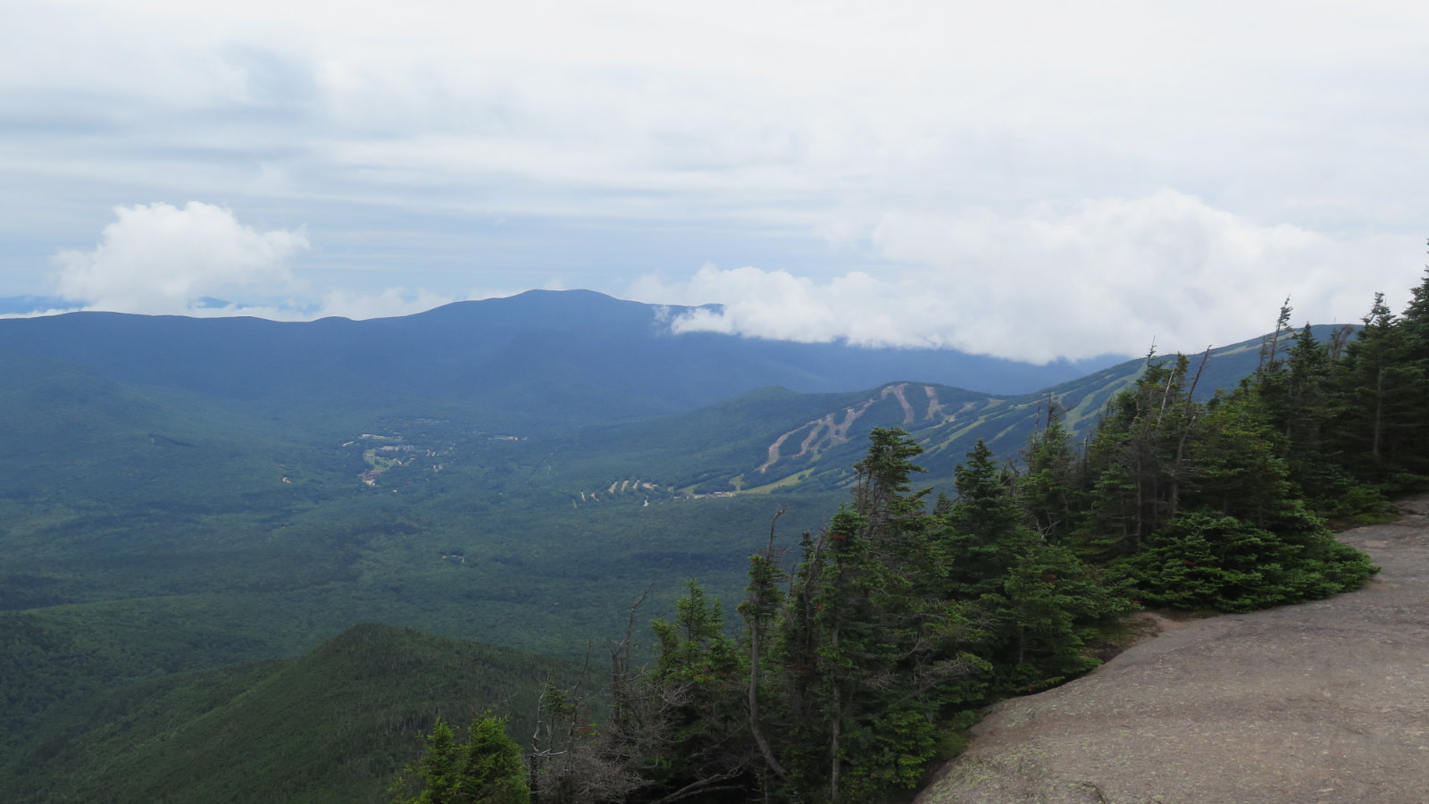
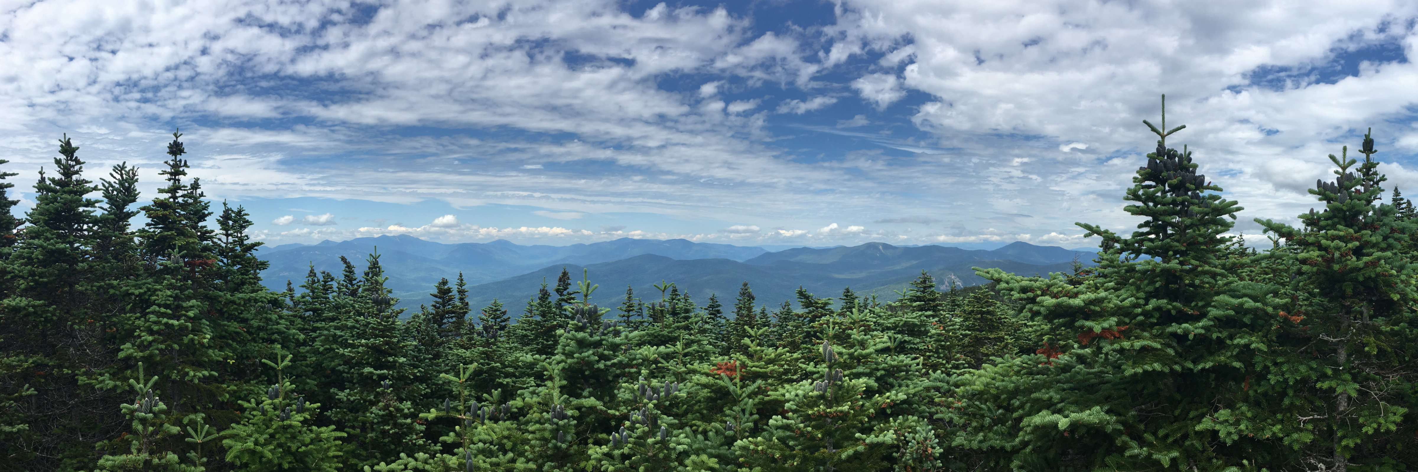
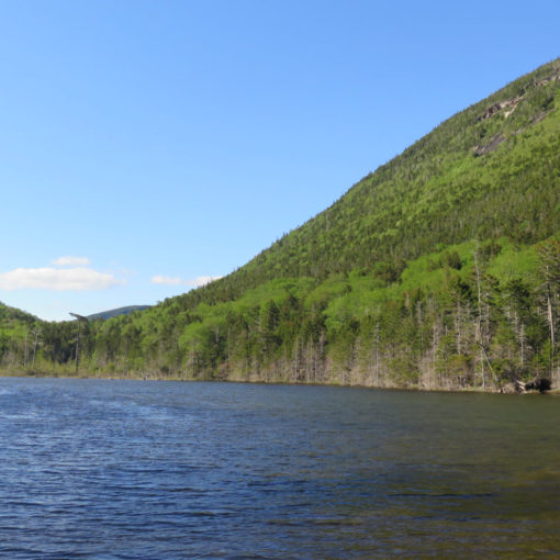
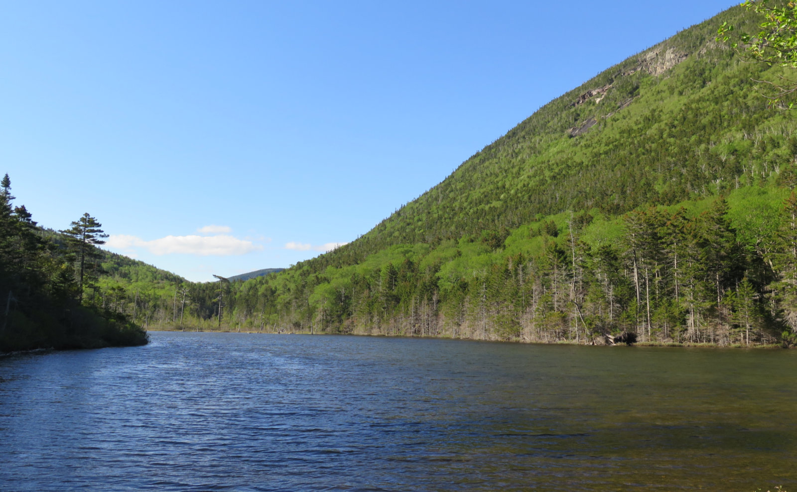
Finally, the summit. Coming from the Tripoli Road side, I saw some side-trails just below the summit; each led to little clearings, some with a view, some not so much. But it was fun exploring them. The view from the top, however, didn’t disappoint. Indeed, the clouds were seriously lifting, and while it wasn’t a multi-state view, it was still very comprehensive. I could easily see out to the other side of the Pemi loop, and even Mt Washington was visible. Wow!
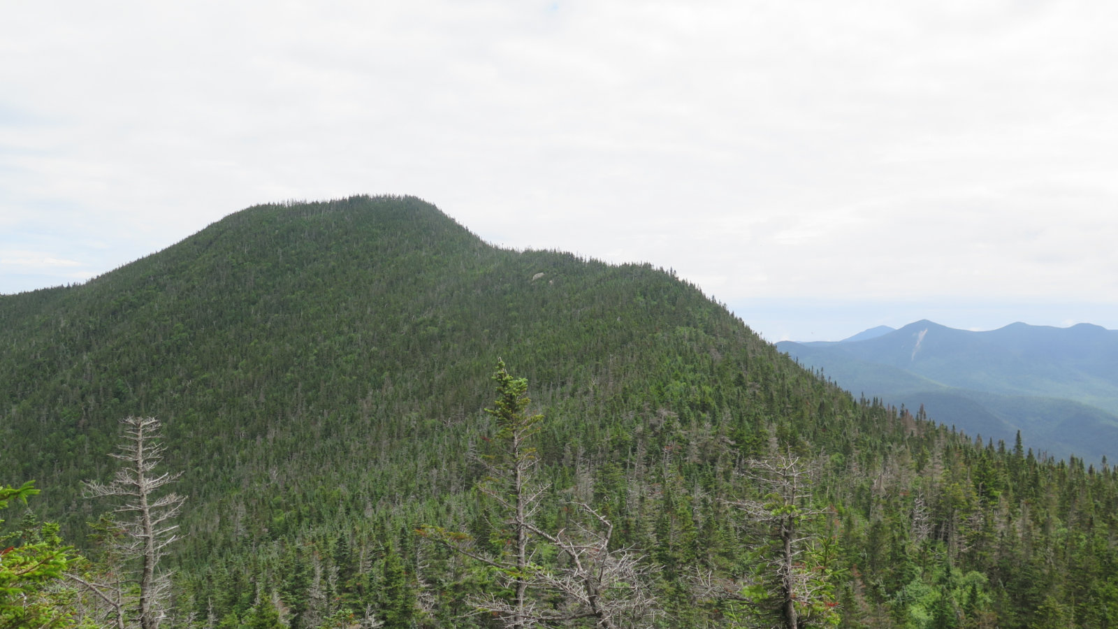
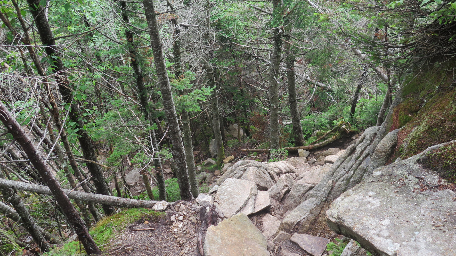
East Osceola is fairly close — a mile by the book. But as we know, if it’s on the 48 list, it has to have prominence. The col is certainly clear in its intentions almost from the start. I was thinking about all the climbing I’d have to do on the way back, and then… the chimney. A lot is said about it. I’ve already done it twice, including in winter. Somehow, I missed its true nature. I honestly don’t think it’s hard, nor scary. Taken thoughtfully, it’s actually very straight forward, and almost akin to a ladder.
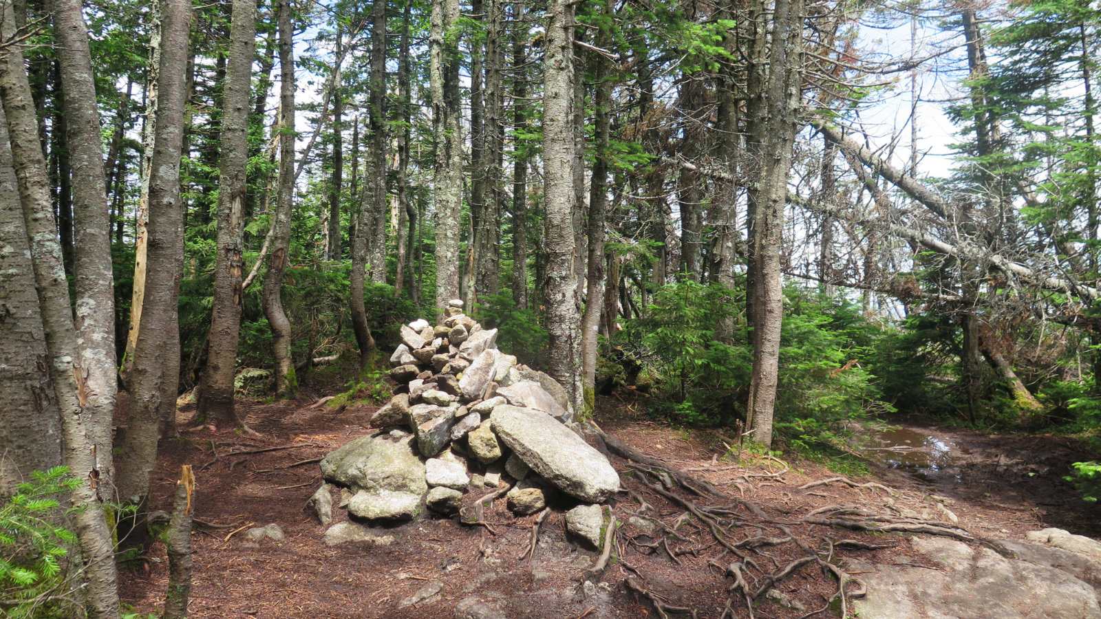
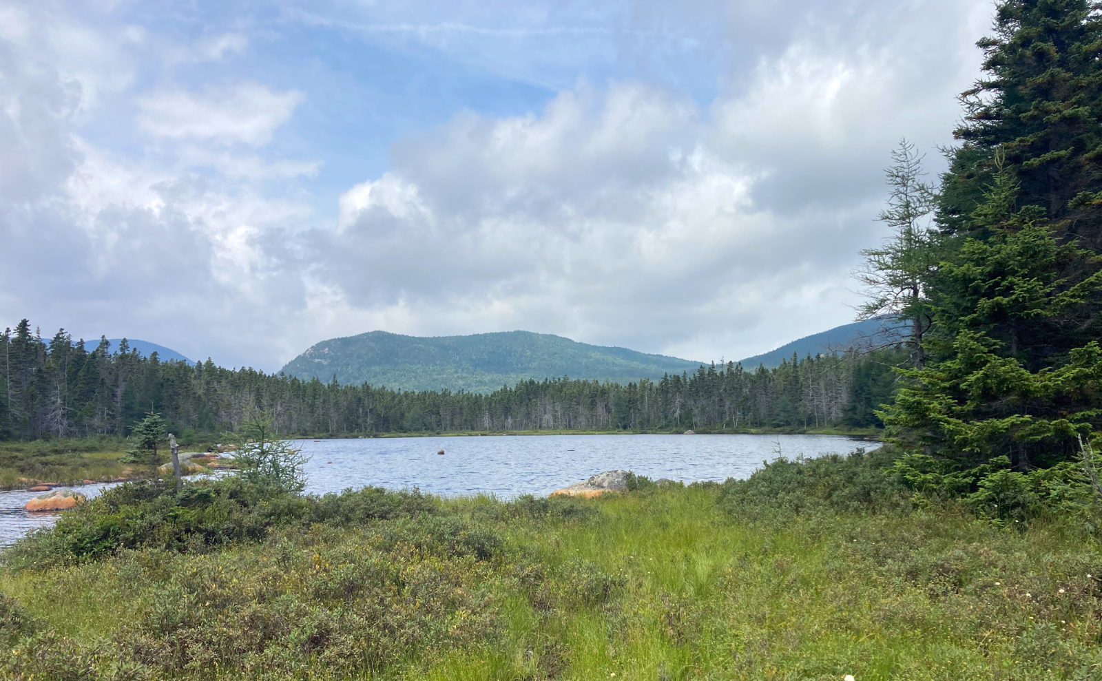
I got to East Osceola and had a fine view of its cairn. The summit is still treed-in, but if you descend a little down the Greely Pond trail, you can have a lightly obstructed view north. It’s not perfect, but still good enough, and in a few years, the handful of dead trees in the way will have fallen. Patience.
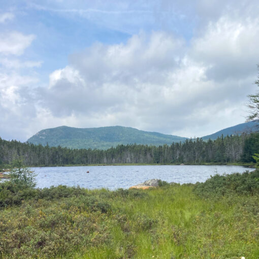
Turning back, I was partway down into the col when I realized there’s a couple of large boulders alongside the trail, and wouldn’t you know it, but a view of Franconia Ridge, entirely unobstructed by anything, can be had. I drank it in, because by now, the skies were becoming very interesting, with deep blue patches offsetting the clouds. Again, I had to remind myself that mileage doesn’t happen if I’m not putting one foot in front of the other. But wow, that view was incredible.
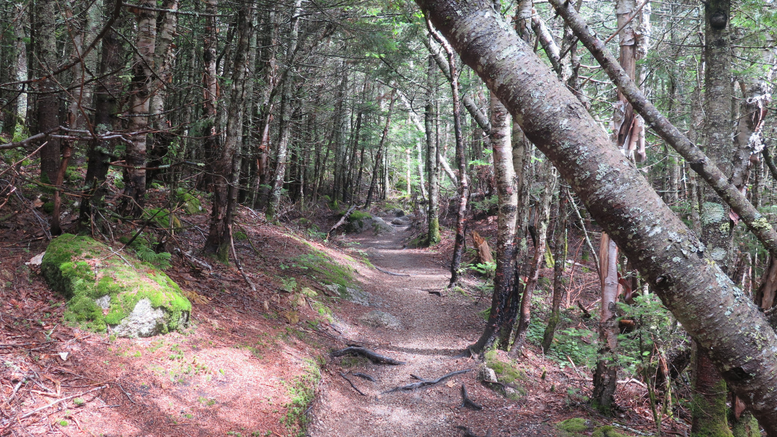
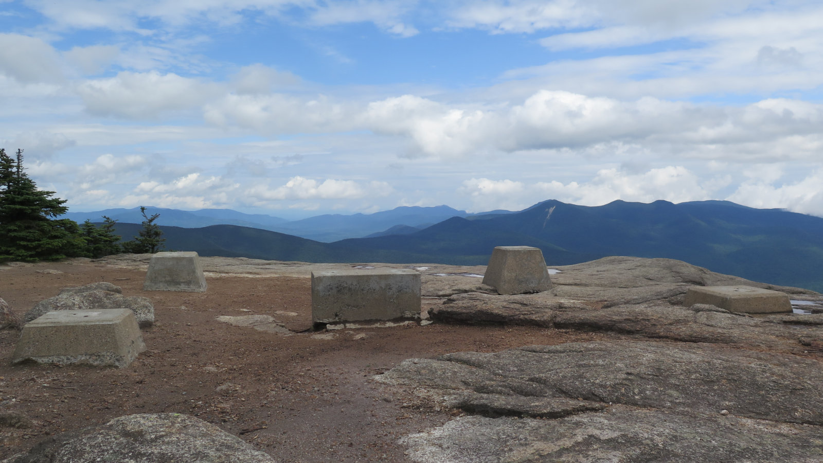
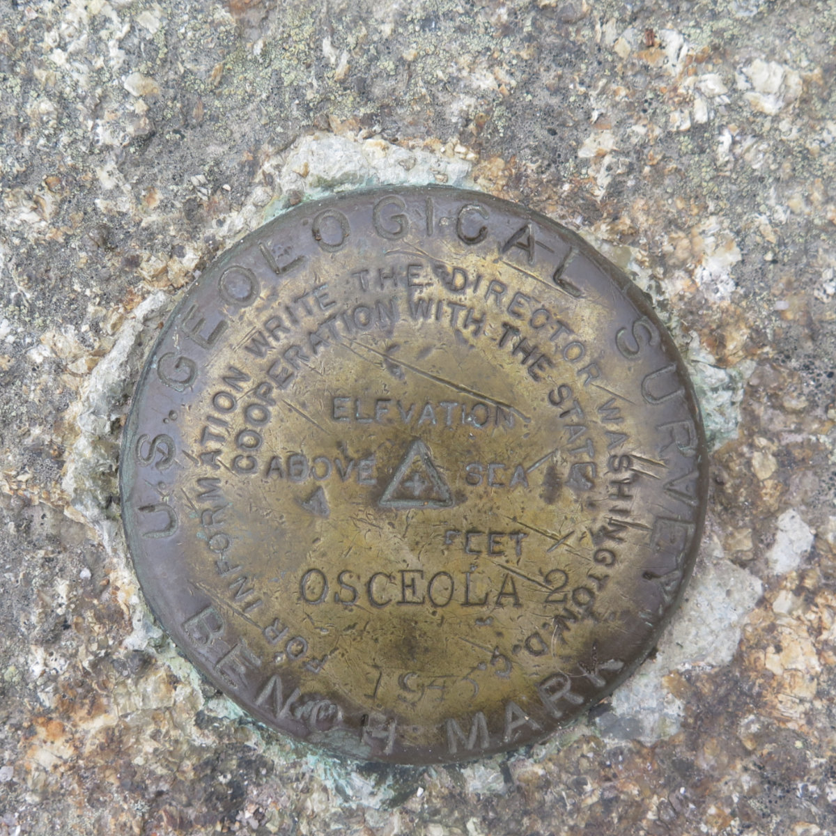
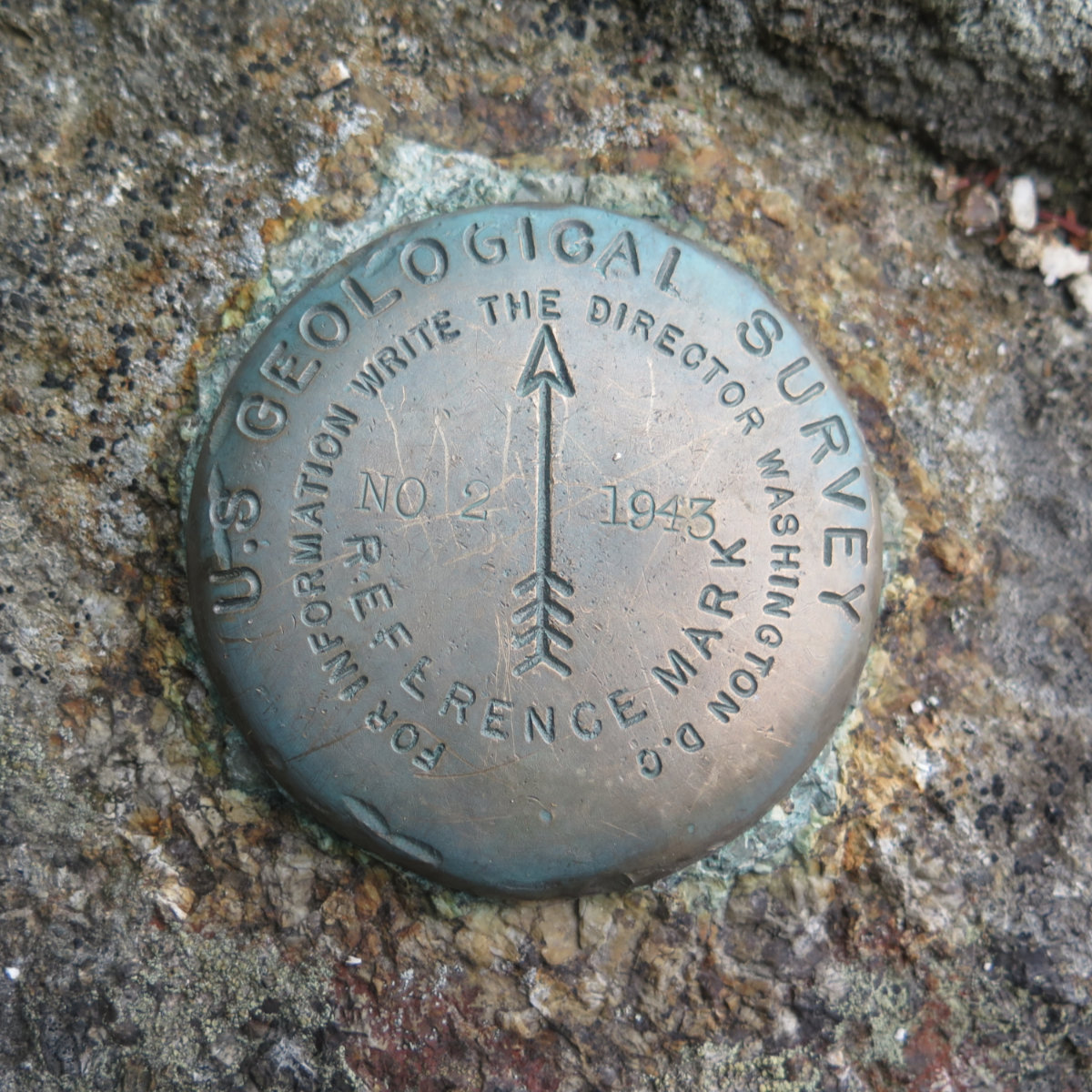
By the time I got back to Osceola and its concrete pilings, it was full-on clouds and sun. If I’d made the decision to go or not based on the rain in the morning, I’d have been sorely disappointed. Once again, proof that you should never trust New England weather. I headed back down the trail, which by this time, was much drier. Still mud in many spots, but overall, it was a nicer walk on the way down. Finally, I was back at the trailhead.
This is number three for me; I have to do an autumn ascent and I’ll have done it in all four seasons. While it’s truly amazing in the wintertime, this is a hike that doesn’t get old. It’s got something to keep anyone’s attention, no matter the time of year.
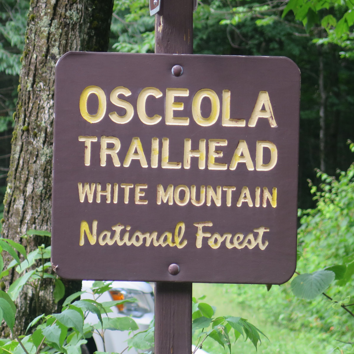
Nuts and Bolts: You can access Tripoli road two ways: either from Exit 28, and drive through Waterville Valley, past the Livermore trailhead; or take Exit 31, and you’ve basically landed on the road itself. From Exit 31, the trailhead is almost 6.5 miles down the road, on the left. From Exit 28, it’s about 2 miles past Livermore, on the right. If you’re not that excited about the suspension on your car, coming in from the north offers miles of bouncing around on a dirt road: if you’ve wondered what keeps the gates locked in wintertime, this is the reason. The trailhead is marked by a large sign, which should be very hard to miss. Parking is ample for almost a dozen or so cars.
If you enjoy reading these posts, consider subscribing. Your email will only be used to alert you of new posts — typically 1-2 times per week. I will not use or share your email for any other purpose without your express permission.
7 thoughts on “Trip Report: Mt Osceola and East Osceola”