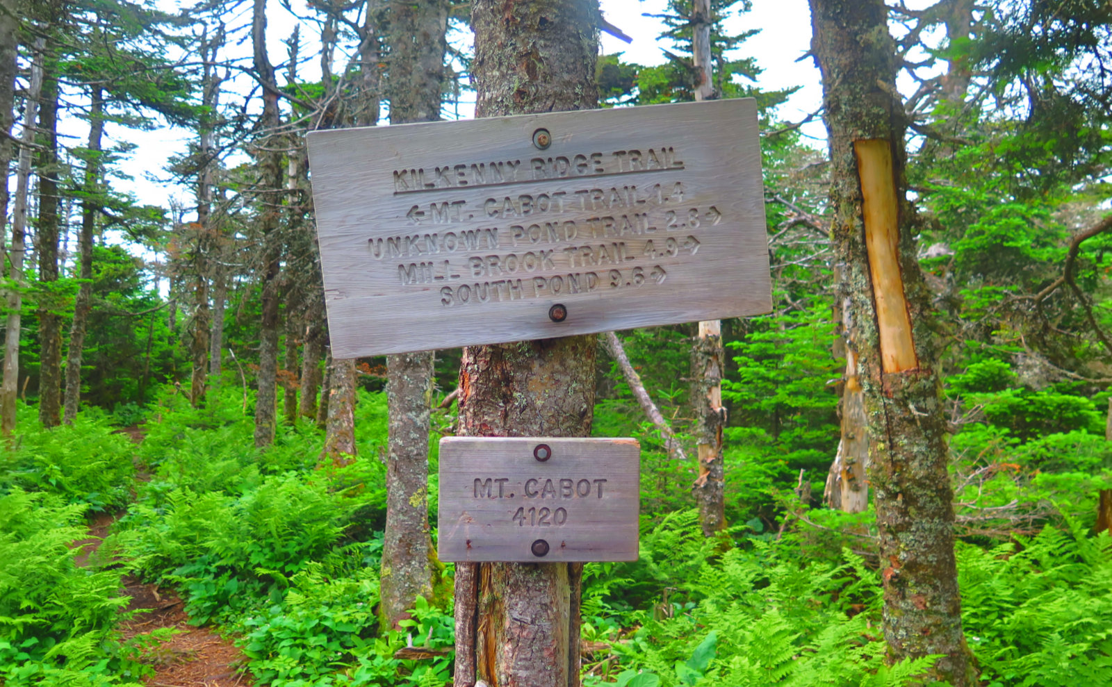
Mt Cabot. 4120 feet. 2019-03-20 (Wednesday.) Via the York Pond trail, Bunnell Notch trail, Kilkenny Ridge trail. Approx 10 miles.
Sunny, with some clouds. Modest wind, approx 5 MPH.
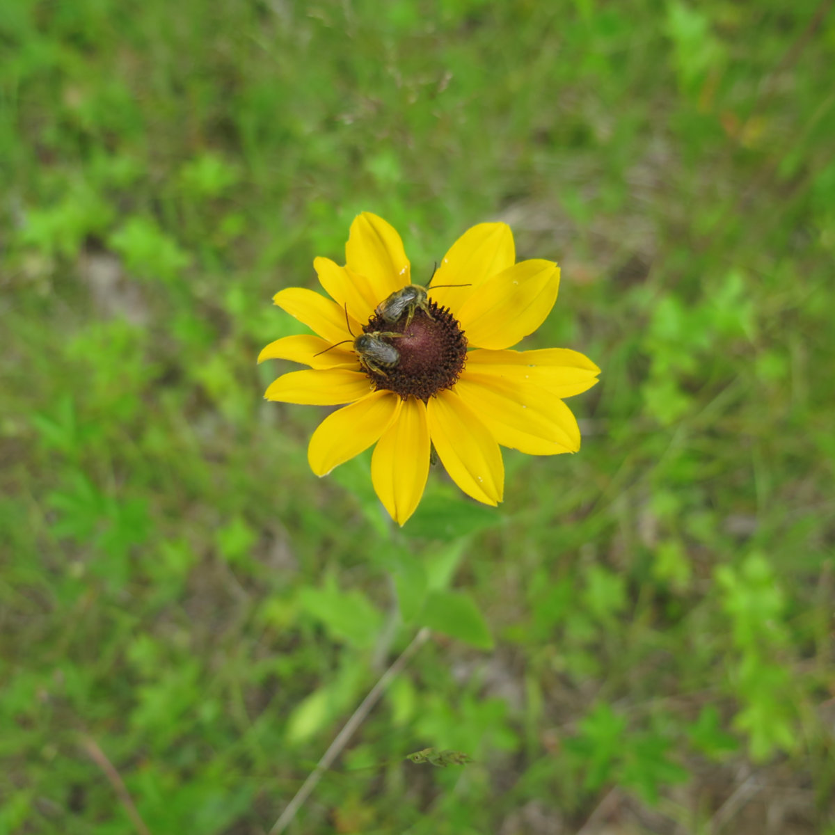
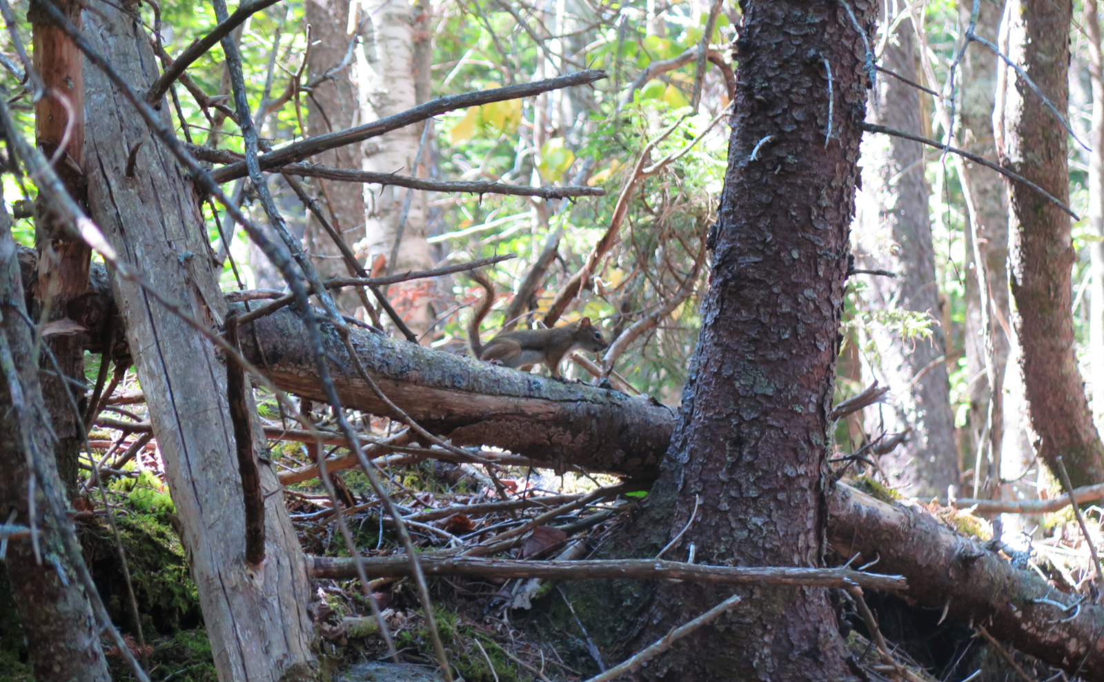
The weeds come out and grab you!
It was a good day out. I wanted to hike, but had no real motivation to pick something, and so Cabot just seemed like a good idea. In a way, it’s a well worn pair of jeans. You know what you’re going to get, and it’s a very comfortable trail. I was a bit surprised the weeds had grown in so much on the approach. For quite a distance after the trailhead, I almost had to push through them all. I don’t think you’re supposed to think this, but the idea of a weed trimmer came to mind more than once…
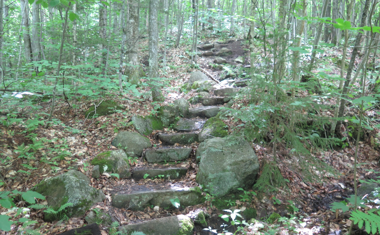
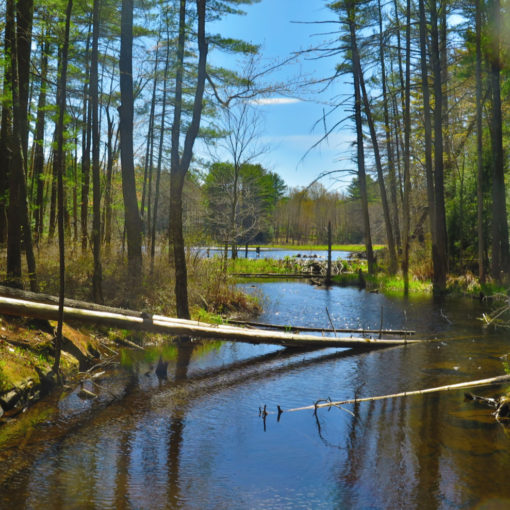
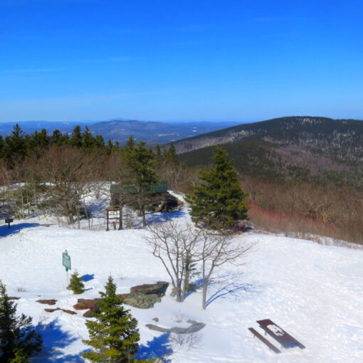
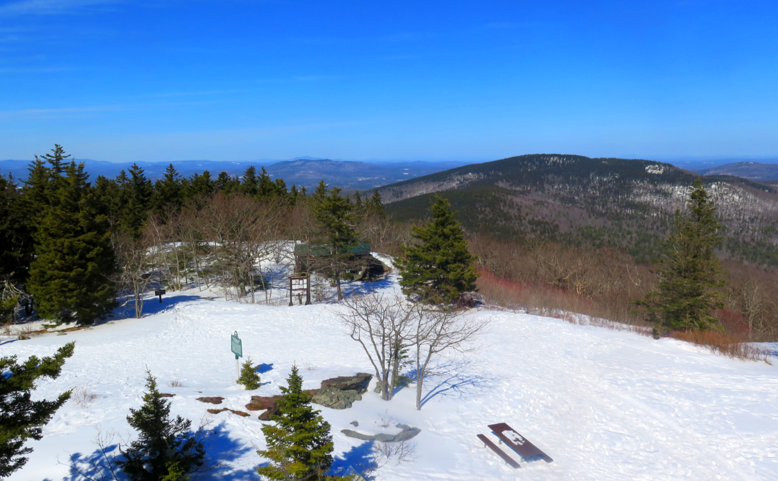
For all its being that well worn pair of jeans, there are some magical moments. There’s the bridge, which creates a separation from the reality of life (as manifested by the car) and the freedom of the mountains. The stone steps that bend, ever so invitingly, and lead upward, onward. The old warden’s cabin, and not far away, a clearing around the summit, making a little room, hidden away.
This was my third time up there, and it keeps getting better. There are scant views, but they exist. Perhaps this mountain’s real virtue is that it’s the one so far removed from all the others, where you can escape and let your mind wander for a bit. Sometimes, it’s what you need. Quietude and solitude.
Nuts and Bolts: Getting to the trailhead, you just need to put “Berlin Fish Hatchery” into your GPS, and that’ll get you about 95% there — it’s at the end of York Pond Road, in Berlin, NH. (You’ll actually go briefly into Milan to get there.) Beware: this last time, Siri was trying to get me to drive my car in from the west, which you clearly can’t do. A reminder to be mindful when using your GPS, as being mindless can put you hours off course. If in doubt, drive to Berlin, and then take the main road up toward Milan. Just across the Milan town line, you’ll see the sign for the Hatchery on the left. From there, follow the obvious signs. It’s a long road, but not hard to follow at all.
Drive down York Pond Road and it ends at the hatchery entrance. From there, continue past the various buildings, and there’ll be a dirt road on the far side. Take that road, pass a few fire roads along the way, and you’ll come to a metal hiker/trailhead sign on the right: keep going for about another quarter mile, and you’ll see another trailhead sign on the left, with a small driveway/parking area as well. That’s the one you want. The trail is at the far end, with a metal gate barring vehicular access.
If you enjoy reading these posts, consider subscribing. Your email will only be used to alert you of new posts — typically 1-2 times per week. I will not use or share your email for any other purpose without your express permission.
4 thoughts on “Trip Report: Mt Cabot”