
Mt Wolf (3,500 feet). Woodstock, NH. 2020-07-09 (Thursday.) Includes a trip beyond to Eliza Brook. Approximately 2,500 feet of elevation gain.
Via Kinsman Ridge Trail (AKA the Appalachian Trail). 15 miles round-trip.
Mid-70s dF at the trailhead, Low-80s dF at the summit. RH ranged from about 65% to 75%. Winds were almost non-existent all day. Dew point was around 65 throughout. Sun and clouds with significant haze throughout the day.
Trailhead: 1020. Summit: 1350. Eliza Brook Shelter 1545. Car: 2020. 10 Hours.
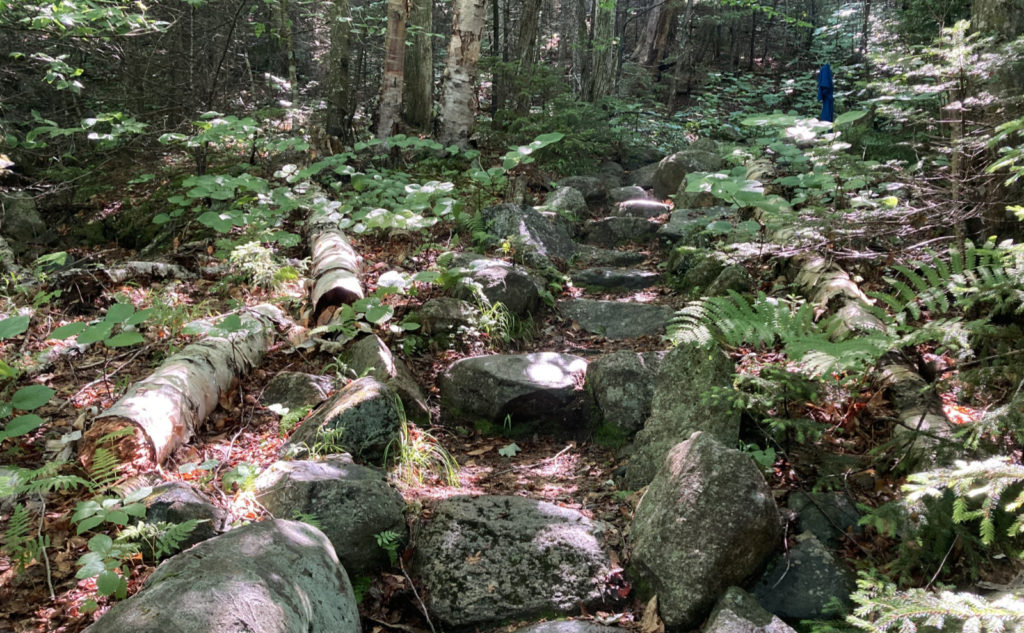
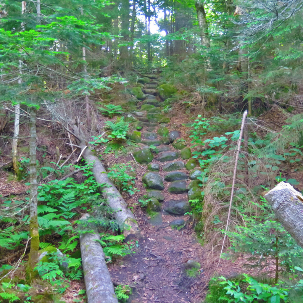
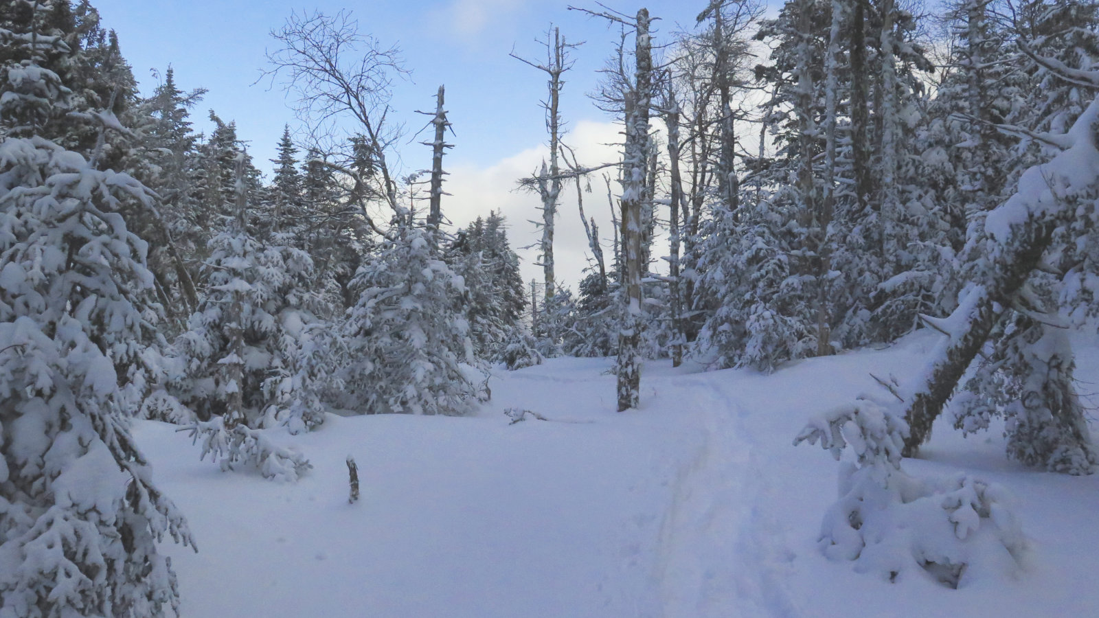
Rocky, Rooty, Rough.
I can only describe today’s outing this way:
Mt Wolf, via Kinsman Ridge trail, is the huge pile of hurt that you see waiting for you on the right, as you take the left turn into the Beaver Brook trailhead parking lot.
That’s my unvarnished assessment of today. From the first moment I saw it (maybe last year?) until today, looking at the AT sign pointing at a solid mass that just rose up unflinchingly from the side of the road was enough to know that the trail ascending from that sign would be a long day. You can’t say I didn’t get my money’s worth.
But at the same time, you also can’t say I didn’t know this going in. Indeed, virtually every second phrase in the AMC book’s entry describing the trail screams “brutal workout!” And those are interspersed with phrases that say “long, slow, painful slog.” I’m convinced that the trail is there so any northbound AT hiker who comes down Moosilauke not already intimidated quickly learns his or her lesson. Make no mistake, the Whites are bookended by some pretty rough terrain.
OK, so having taken care of the superlatives…
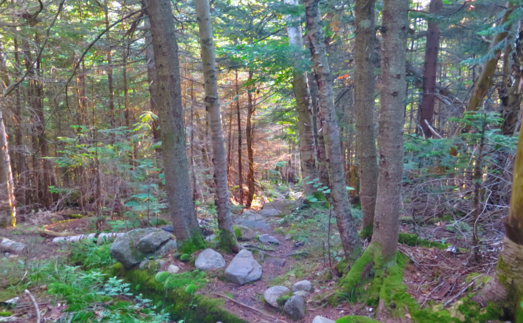
As you can imagine just by standing at the roadside, there’s a lot of very rapid ascent in a short lateral distance — nearly a thousand feet in the first three quarters of a mile. You’re going to get your workout, that’s for sure. A lot of it goes across rocks, and some of them are actually set as stairs. It’s folly, though, to think that after the mad ascent, there’s a summit somewhere nearby. No, you’re still about three miles from that, and there are a lot of PUDs — Pointless Ups and Downs — in the way. Oh, and rocks. And mud. This is not an easily traversed trail, such as you might find on Cabot, or across the street on Moosilauke’s south side for that matter.
And so there I was, trying to crush it. After awhile, I checked where I was on my phone. Oh dear.
I usually get around two miles to the hour. Today, a mile was taking me about 45 minutes on the way up. Even on the way down, I was slower. This isn’t a trail that you walk across, but one that you walk on, over, and around obstacles with almost every step. I started out thinking I’d be done in about 7-8 hours. Boy was that a fantasy.
Is this Kinsman’s theme?
Throughout the day, I had a lot of time to think about other hikes on this ridge, and it seems to fit a general pattern. Going up South Kinsman from Reel Brook? Yeah, there was a lot of “up” at one point, and no small amount of scrambling in certain sections. Then there was the traverse from North Kinsman across to Cannon. That wasn’t an easy day, either. After crossing over the NE Cannonball, there was a pretty stout section before things eased up near the summit. That was a very long day, although I was pretty happy once I bagged Cannon, the 48th of my first go-round of the list. And then the hike up Cannon from the north features a lot of rapid elevation gain, too. Come to think of it, end-to-end, this is not an easy range if you’re making a straight shot, end to end.
So what were the bright points?
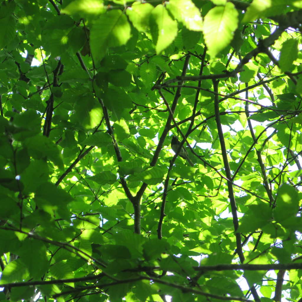
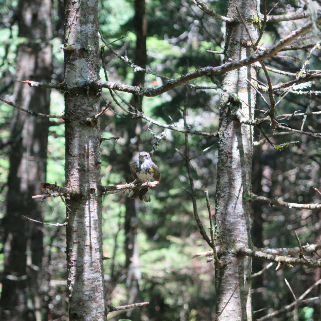
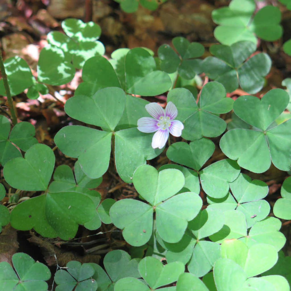
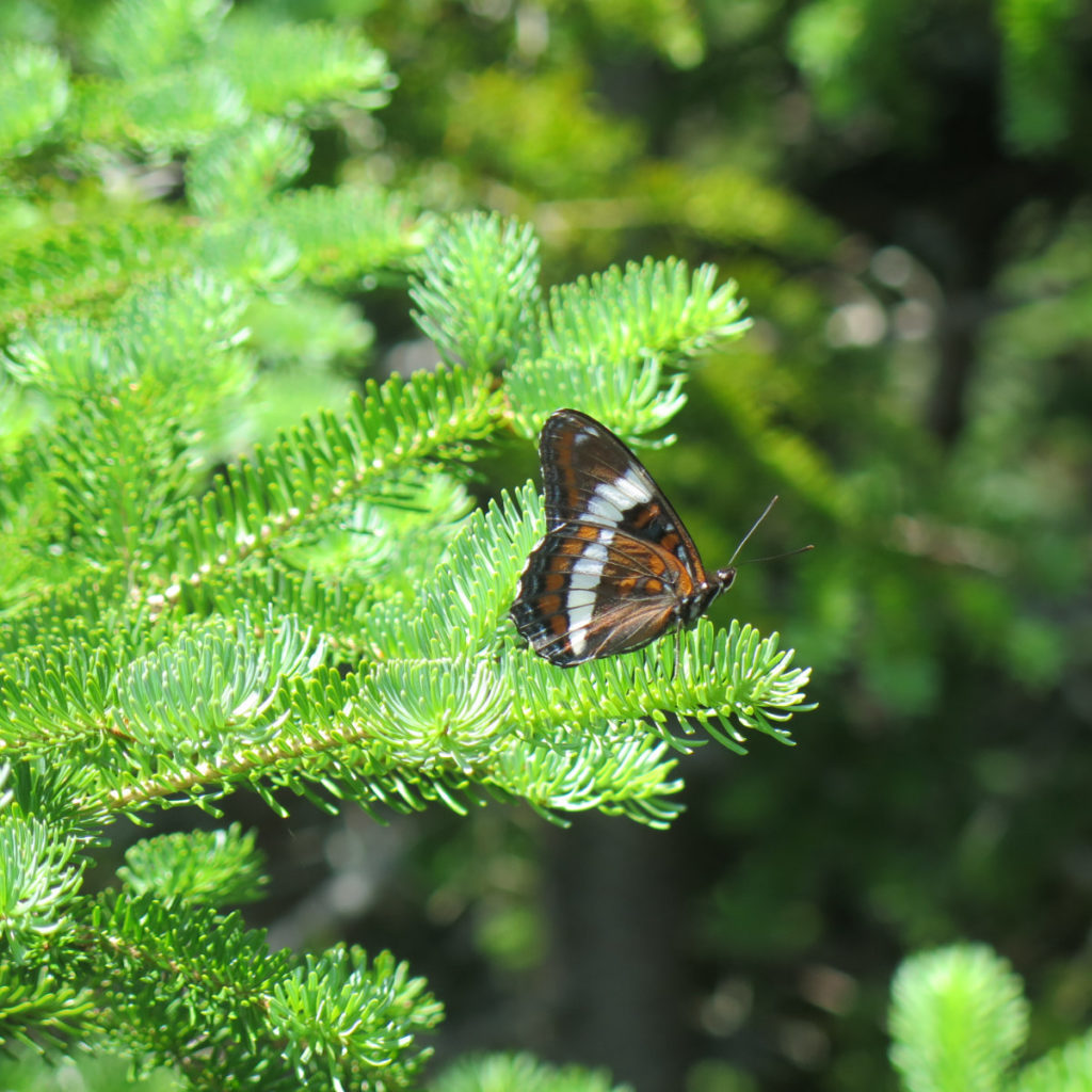
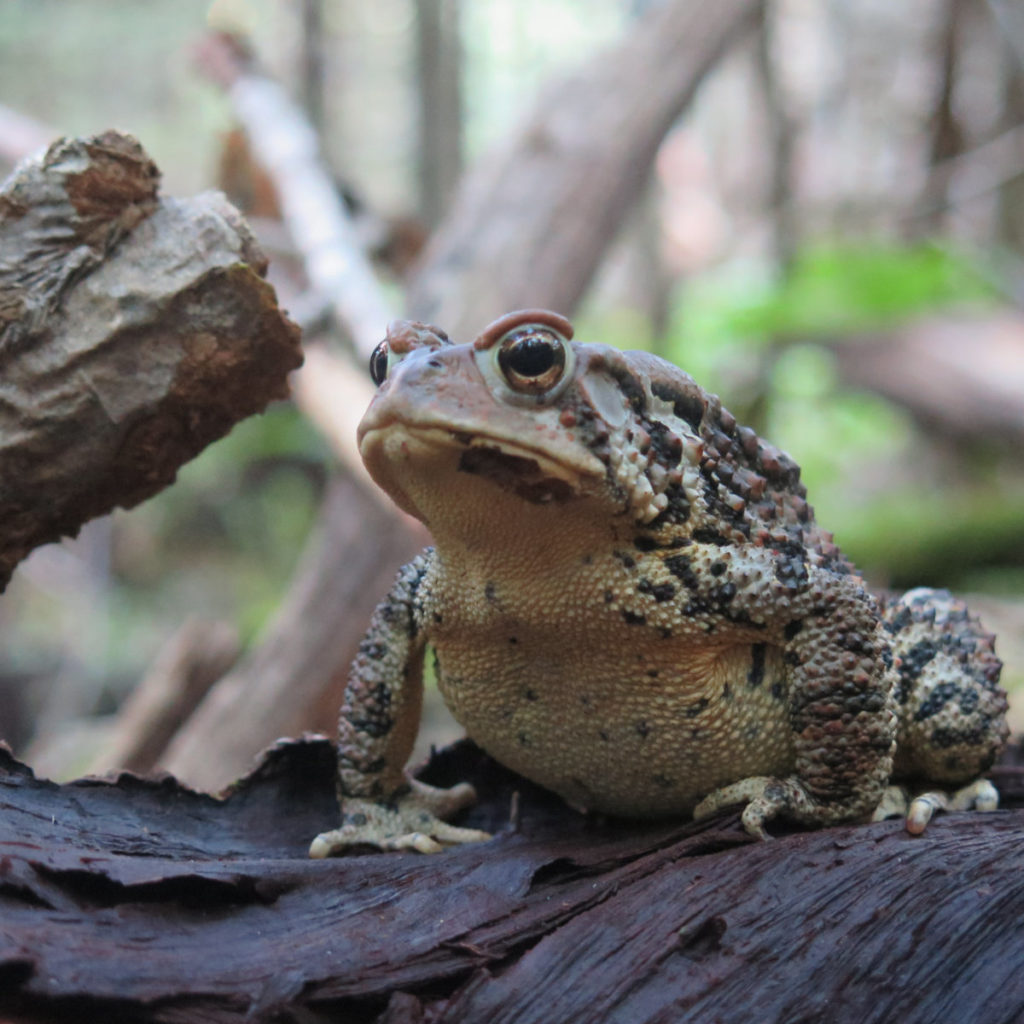
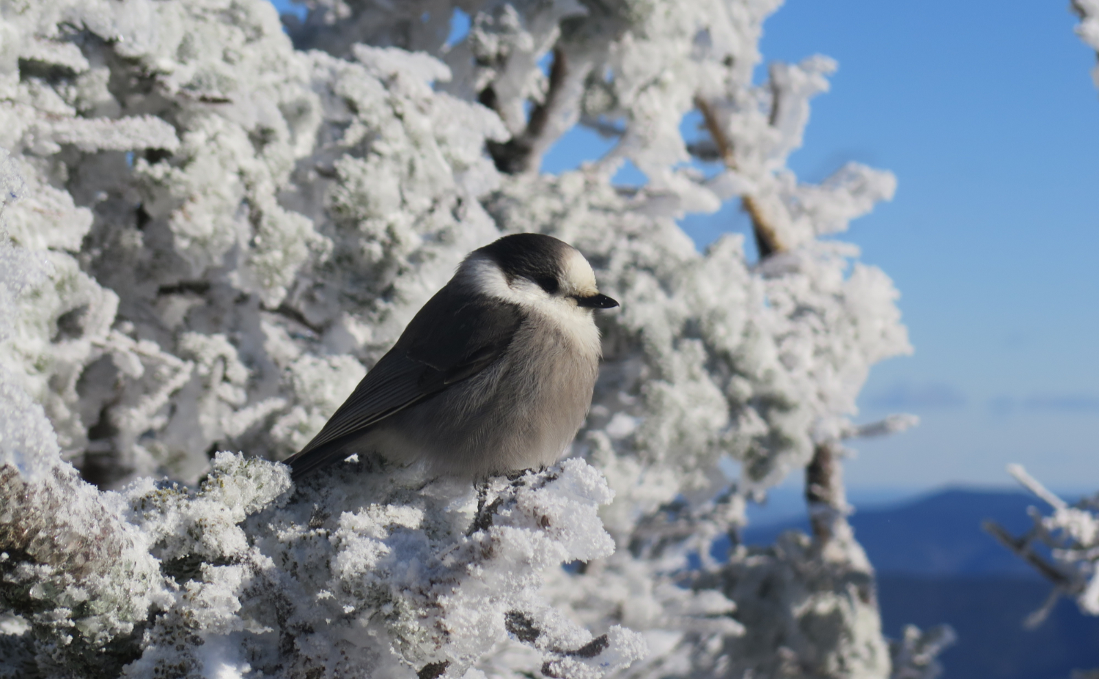
Honestly, I had to think about this all the time. The wildflowers are quite behind the curve, as compared to other mountains right now. I did see a few, though, even if the selection was lacking. There were a lot of butterflies, and as has been happening lately, I saw a pair of Eastern Tiger Swallowtails, and as before, they didn’t hang out to be photographed. Take my word for it. Songbirds? Yep, some of those too, although not in huge numbers.
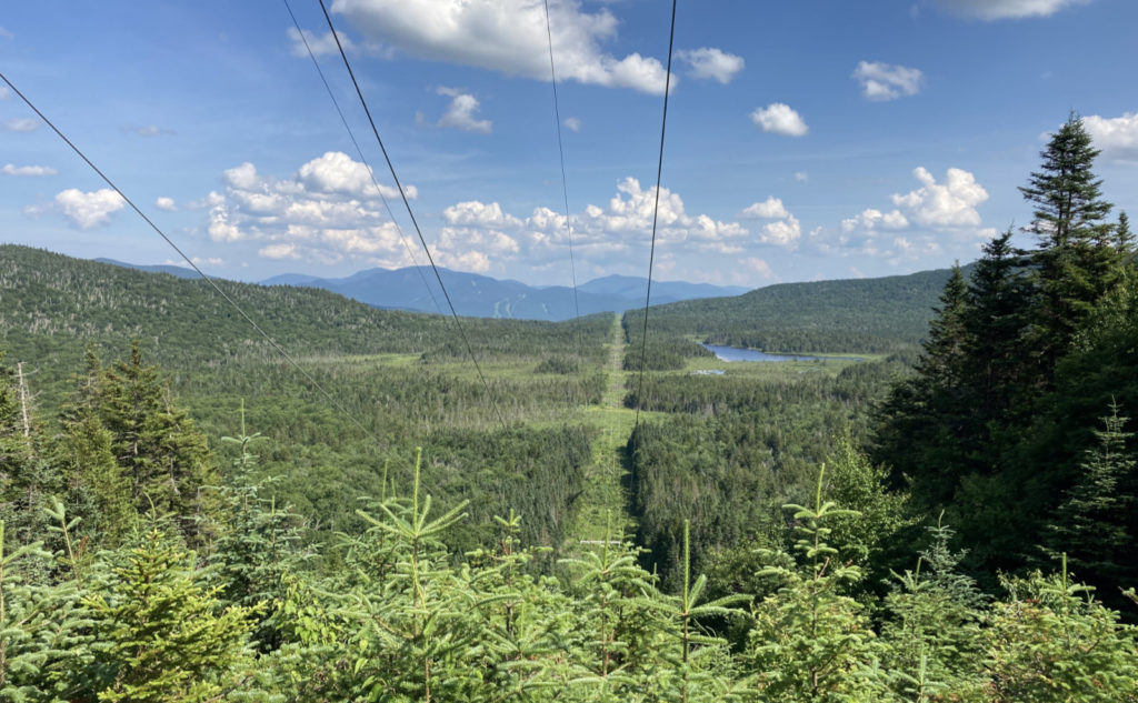
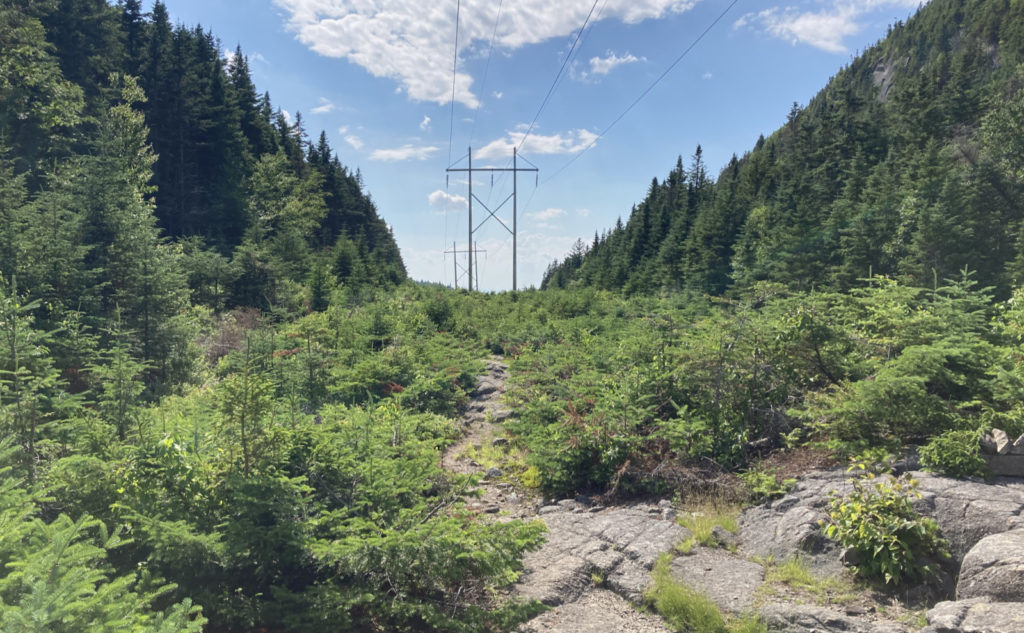
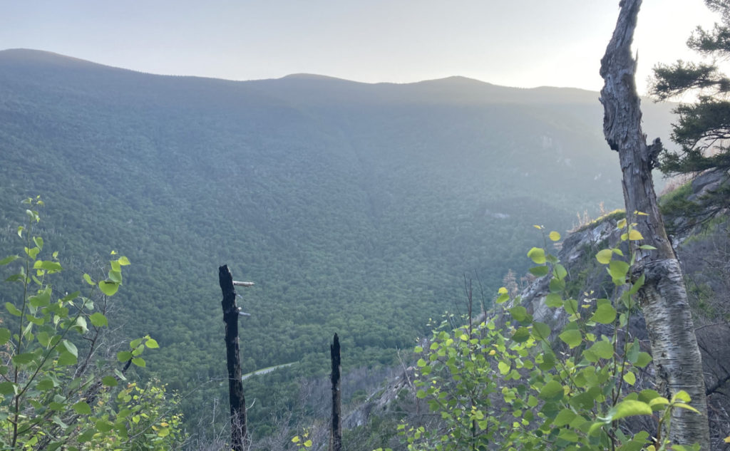
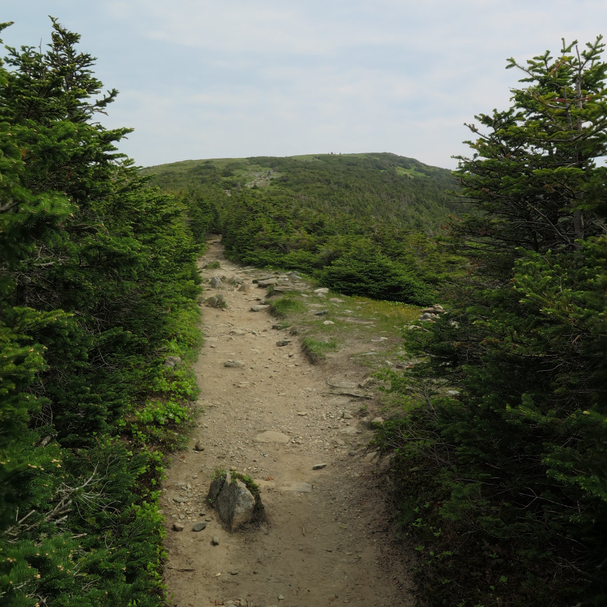
But in contrast to all that, views from this trail are best described as “functionally non-existent.” Yep, you can see every mountain in Franconia Ridge, but just about every outlook had something in the way. You want that “drop you to your knees” gorgeous view of the Franconias in all their glory? Head a few miles further north, to any of the three 4,000 footers you’ll find there. All the views today, of any import, were local.
There was a fair amount of isolation, which was mostly nice, though I would have enjoyed a tiny little more company. All day, I saw four other souls, and I’m going to presume everyone else is staying local, due to COVID-19. On a day when, in any other year, I’d have passed about two dozen AT hikers, I saw one confirmed NOBO’er, and another hiker who didn’t identify, but still looked the part pretty convincingly. Yes, the ATC has said they won’t validate anyone’s 2020 hikes, but the guy I spoke with had the attitude that it didn’t take away the fact that he was in New Hampshire, having left Georgia some time ago, and Maine was squarely in his sights. I can respect that.
What about the two others? Well, I happened to bump into Sowflea and Fancy Pants. I knew of Snowflea, from her having done The Grid in record time. Being 2 1/2 rounds into mine, it was a hoot meeting her and her husband. We shared some thoughts about the trail and about hiking in general, and then went our separate ways. So that was nice, and buoyed my spirits for the rest of the day.
And so it goes…
This was among my hardest hikes. Thinking about that, my first time on Adams, my aforementioned trip across the ridge to Cannon, and probably my Wildcat-Carter-Moriah traverse are the top three where I wound up feeling just physically exhausted and sore beyond the normal. There was a very comfortable moment in the middle of the old Kinsman Notch — that feeling of being in a space that few bother to find. And water from Eliza Brook remains ice cold and delicious, especially in the middle of a long outing. I finished hiking the entirety of Kinsman Ridge trail, but it wasn’t without a lot of toil today. Here’s hoping my slumber is solid. I’m pooped.
As always, stay safe out there.
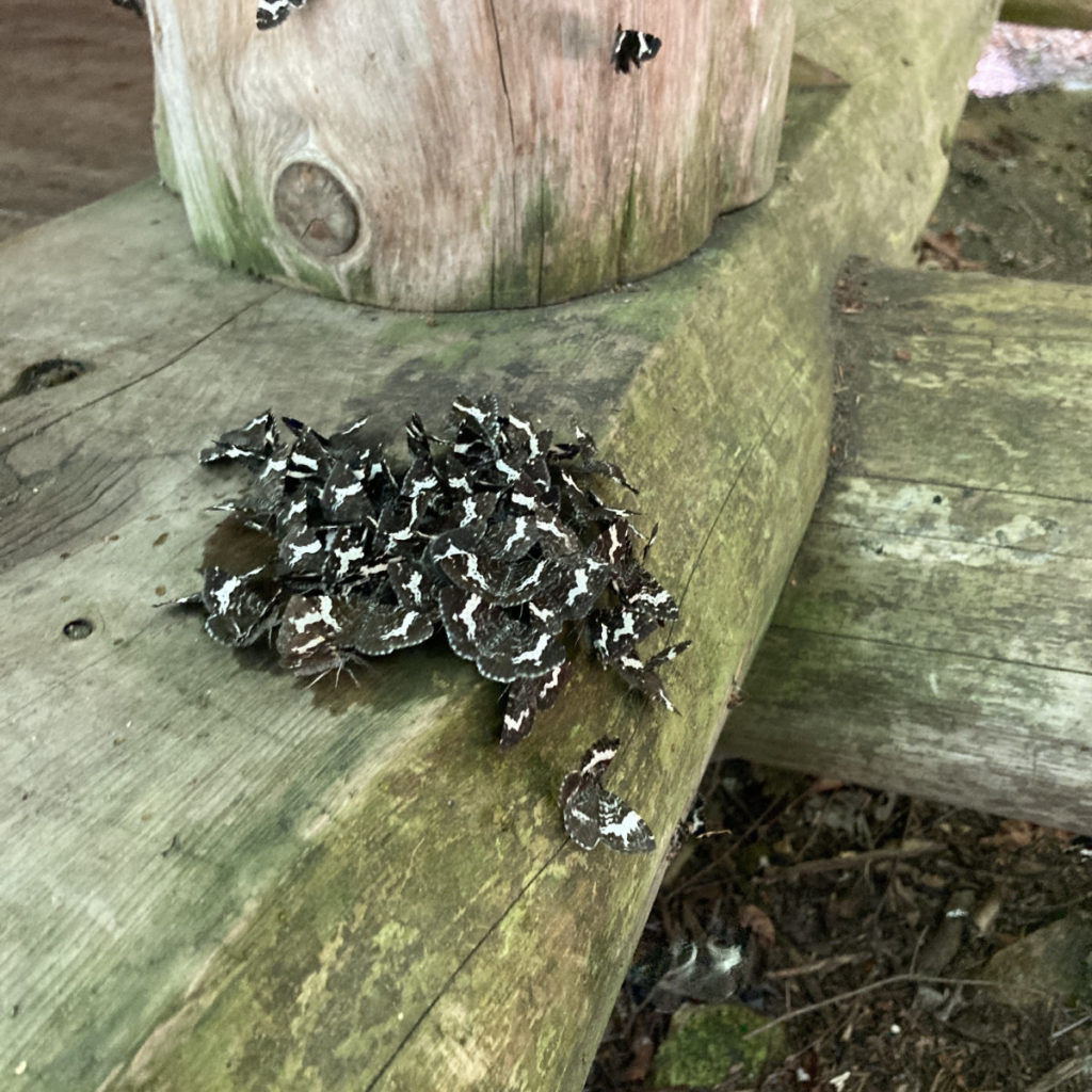
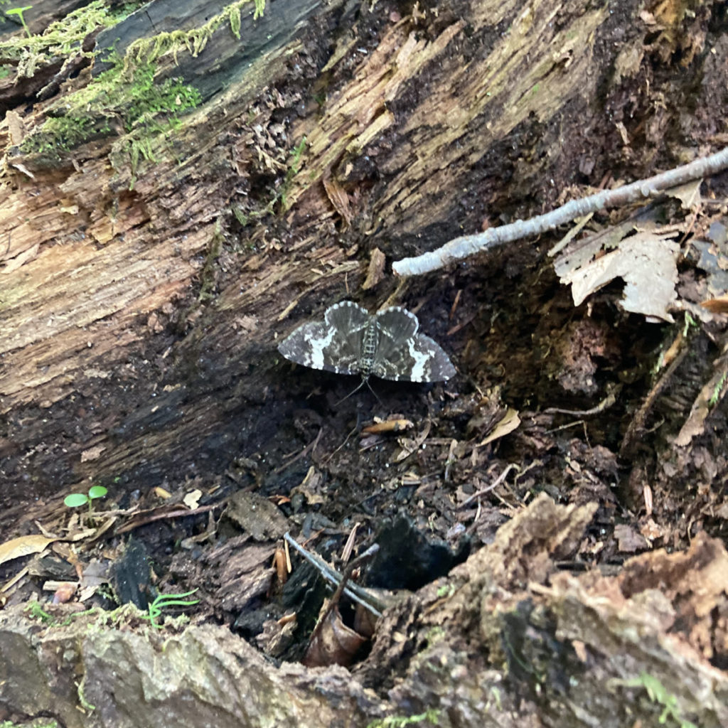
EDIT: Probably a White-banded Black (Rheumaptera subhastata)
Nuts and Bolts: From 93, take exit 32 (the Kancamagus Highway) and head west on Route 112 through Woodstock. After passing Lost Gorge on the right, keep your eyes peeled, because the Beaver Brook parking area will come up in a bit under half a mile on the left.
Trailhead will be across the street, on the north side. Walk toward the metal Appalachian Trail sign and it’ll quickly become obvious where to go. Blazes are standard white 2×6 inch AT blazes. The trail is fairly obvious for almost its entire length, so blazes are few.
DILLEY TRAIL: For those redlining, you’ve noticed the Dilley Trail marked on the AMC map. On the Gaia GPS app’s map, the trail descends from its high point, down about 3/10ths of a mile or so and then fizzles out. Be aware that the Gaia GPS map is currently the more accurate due to a forest fire in 2017 that wiped out the lower portion. There is a somewhat obvious junction if you’re looking for it, but then again, I whipped past on my way up to Wolf’s summit, without noticing it. There is no sign at the junction, just a narrow, yet well worn footpath heading east. Blazes are blue spray-paint and orange surveyor’s tape, and while the footpath is seriously degraded for most of its length, following it to where it abruptly ends in an impenetrable wall of blow-downs is worth it. At that point, the trail is quite close to the edge of the cliffs, and you’ll have a commanding view of the notch below, with one of the few decent views of Moosilauke’s enormous bulk.
If you enjoy reading these posts, please subscribe — stay in the loop! Your email will only be used to alert you of new posts — typically 1-2 times per week. I will not use or share your email for any other purpose without your express permission. And feel free to share via social media using the buttons below.
Find me in the mountains, on this blog, or on Twitter: @Protean_Hiker https://twitter.com/Protean_Hiker/
