It was a long, hard day.
Mt Jefferson, Mt Adams, Mt Madison. 2018-06-16 (Saturday.) Via the Sylvan Way, Amphibrach, Randolph Path, Jefferson Loop, Gulfslide Trail, and Valley Way. Approx 14 miles.
Jefferson 5,716 ft, Adams 5,799 ft, Madison 5,366 ft.
60 dF at trailhead, approx 60 dF at summits, 30 MPH winds above tree line. Sunny throughout, with a bit of hazy overcast sky.
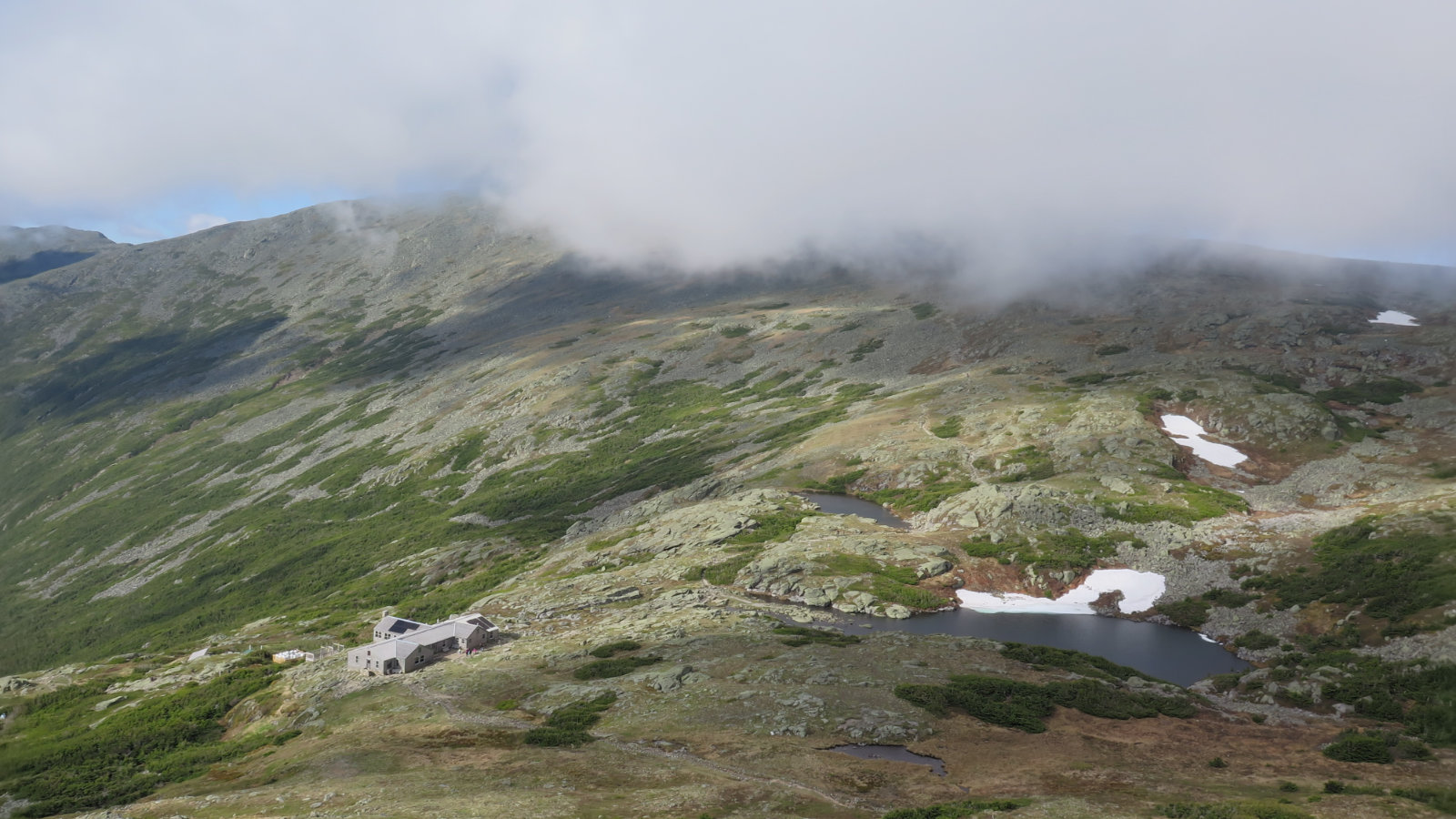
Trailhead: 0930. Jefferson summit: 1415. Adams summit: 1610. Madison hut: 1700. Madison summit: 1730. Car: 2000.
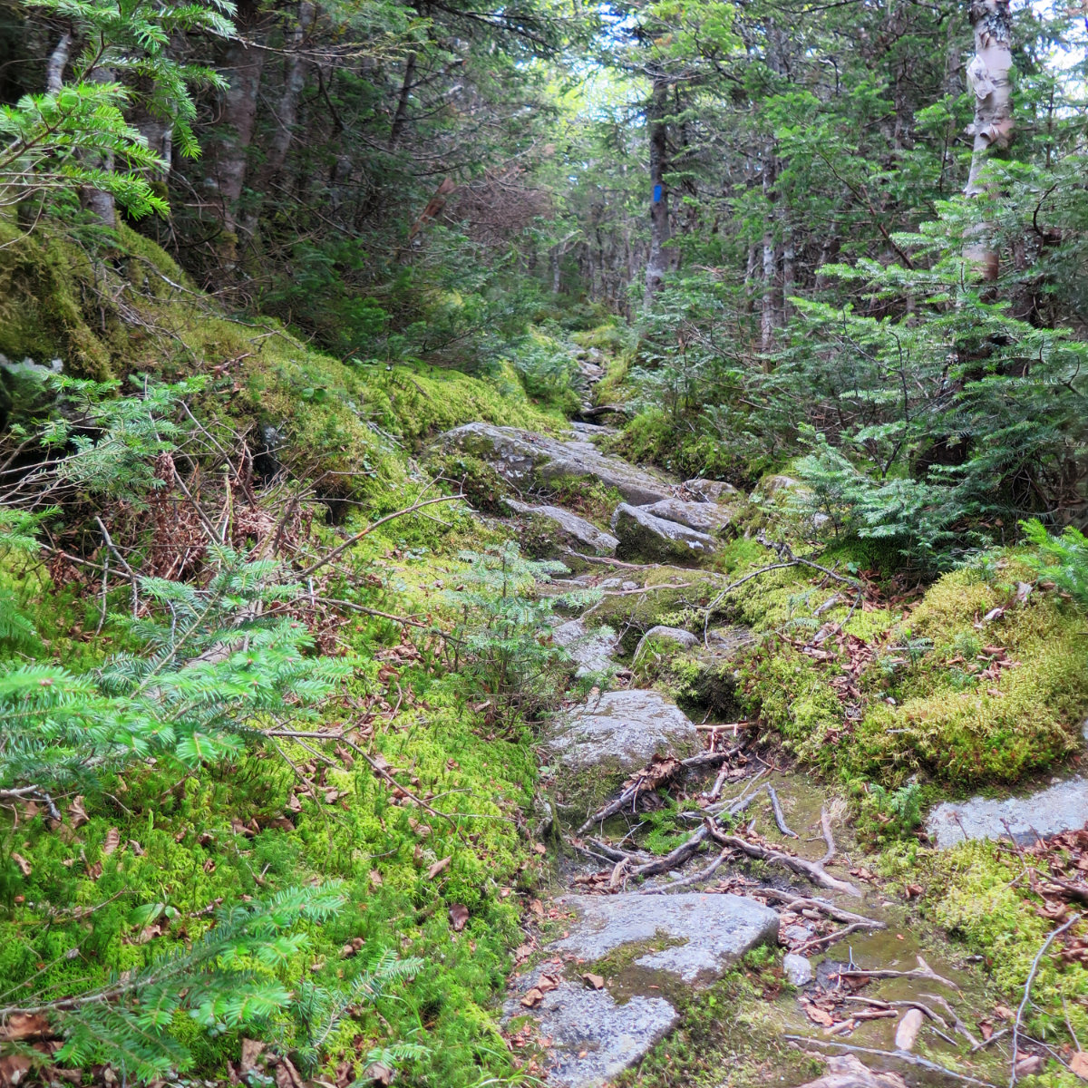
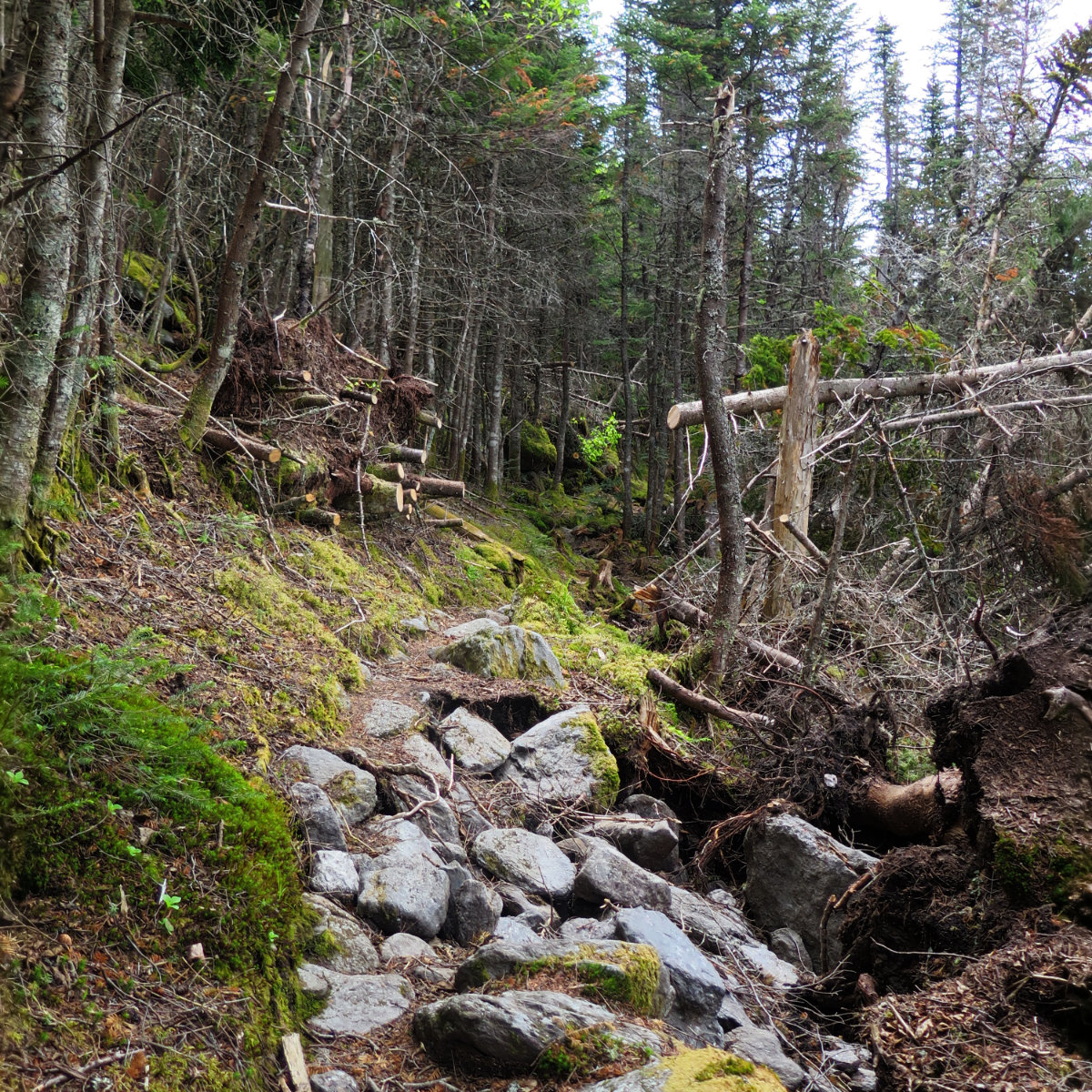
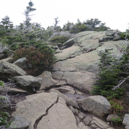
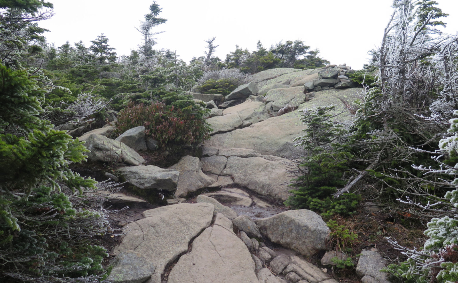
Looking back, if I could have broken this one up into two hikes, I’d have enjoyed it more. There’s a lot of scrambling over loose rock from about halfway up until about halfway down. It didn’t matter the mountain: the day was defined by loose rock and hopping across boulders on less than perfect footing.
Except the snow at Edmands col. Which was awesome.
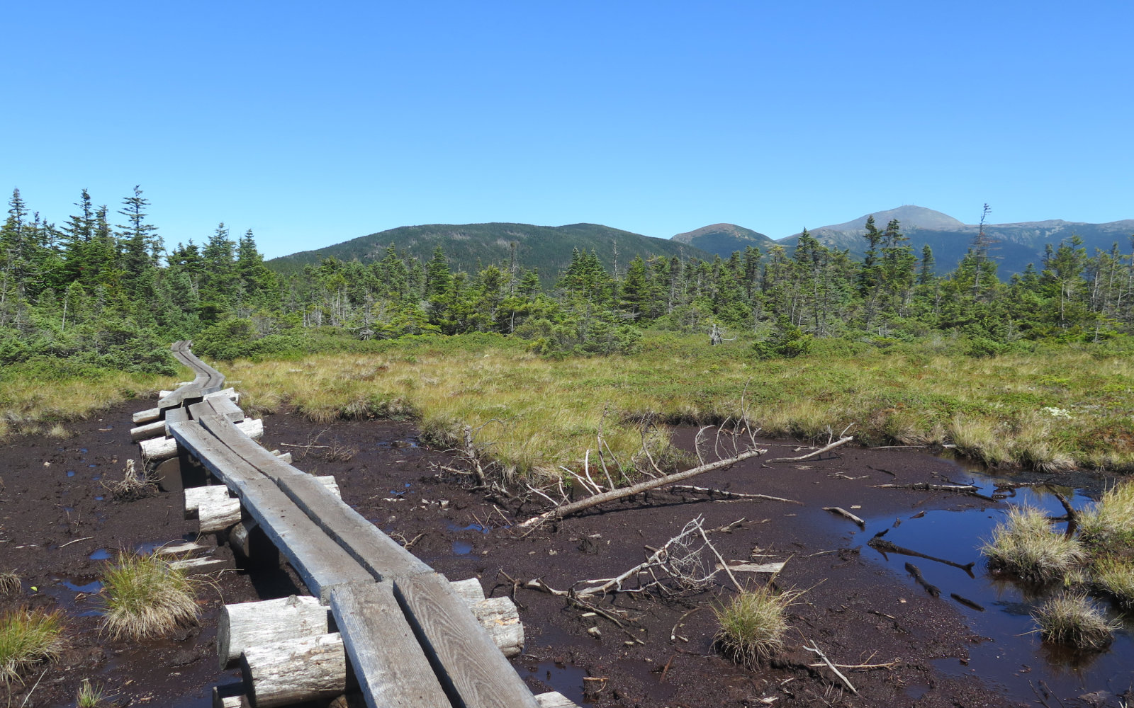
Overall, it was a good day out, and as time passes, I’m sure the effort will turn in my mind from “what was I thinking!?” to “wow, that was hard, but fun!” I kept wishing for a couple feet of snow on the trail, because with snowshoes, it would have been a lot easier going. It was an ambitious hike, with long distance and more than 6,200 feet of elevation gain. Unlike other ranges, the cols are deep, so it’s not as if you get the big climbing out of the way early, and just bag peak after peak. No, the big climbing just keeps coming at you, and the uneven terrain eats up any energy you thought you had. Of all the peaks I’ve done so far, these three easily rank as the hardest. No question. Adams and Madison make a natural pair, as the distance was shorter and the climb up Madison felt slightly easier (from hut to peak was half an hour) but really, by that point, I was pretty cooked just the same.
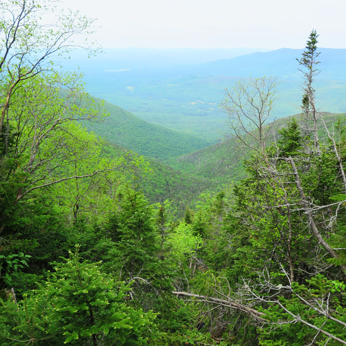
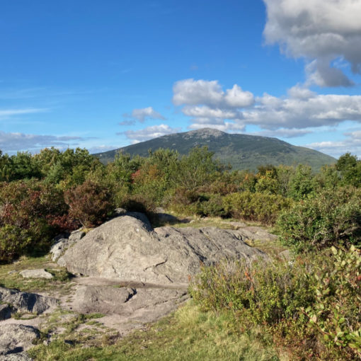
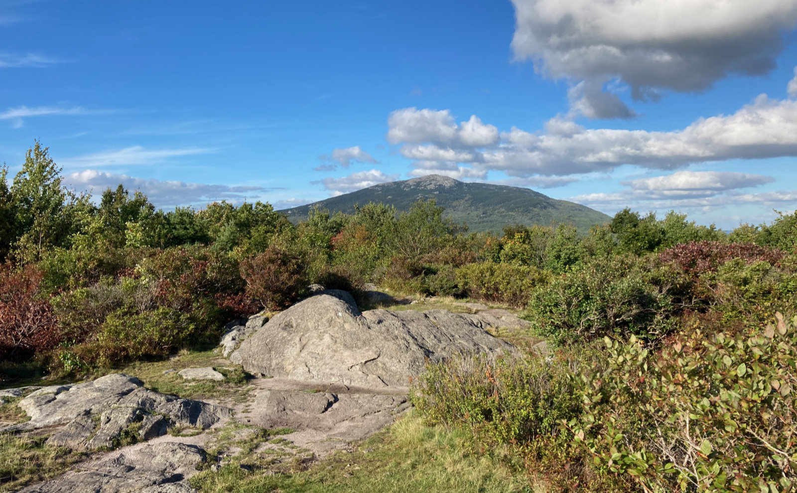
Maybe my biggest feeling of being let down is that the three peaks don’t really have a summit area, and they’re pretty barren. So apart from a fantastic view over yonder, there’s not much there. Again, further reflection might change my feelings on this, but that’s my initial reaction.
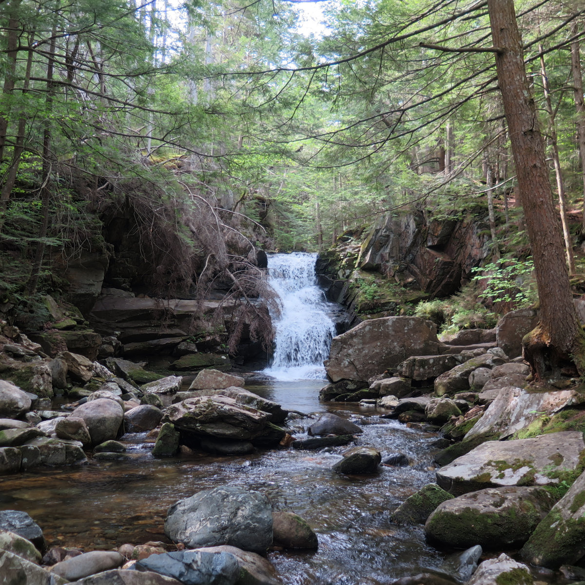
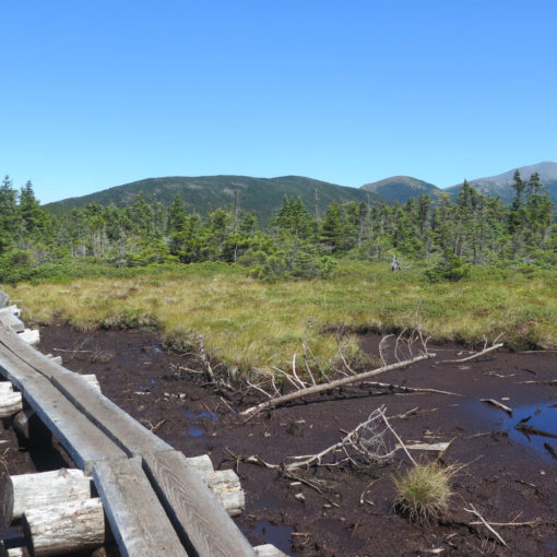
The decision to go up Amphibrach was a good last minute change. Of all the trails, this was by far easiest on the joints, and very scenic. I highly recommend it.
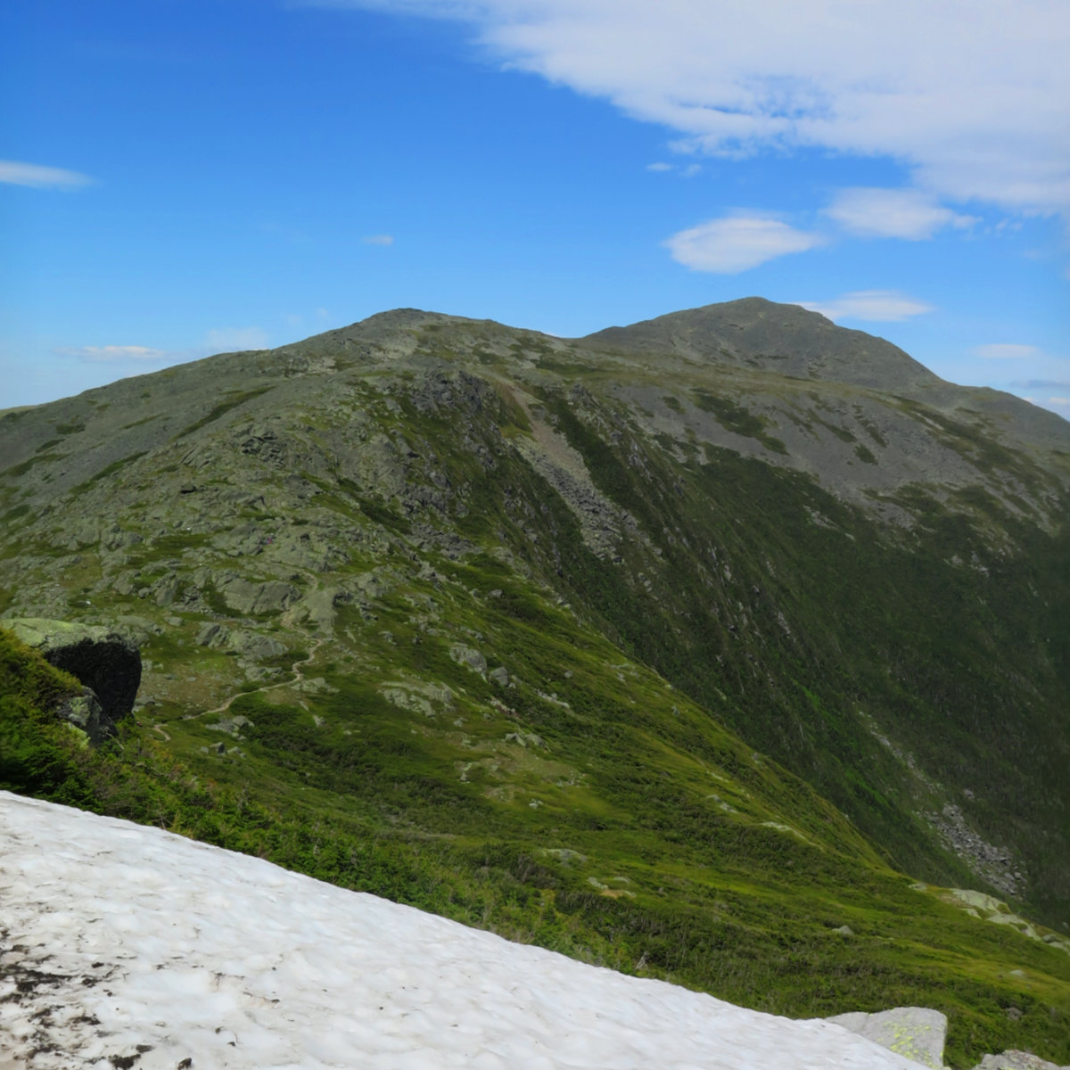
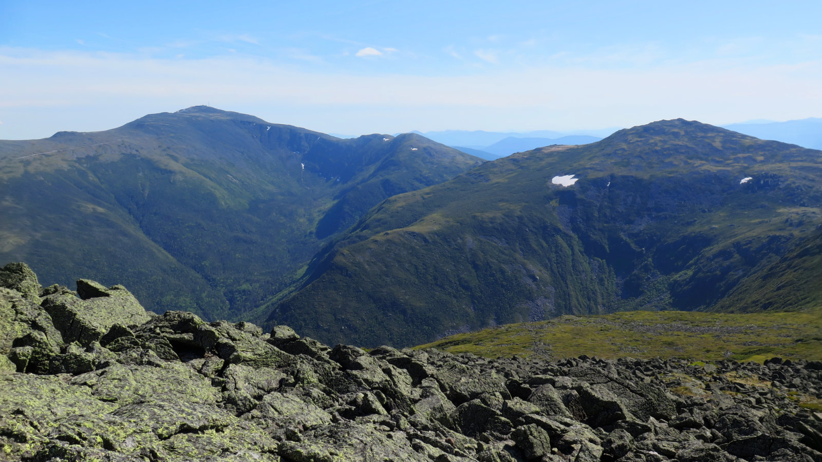
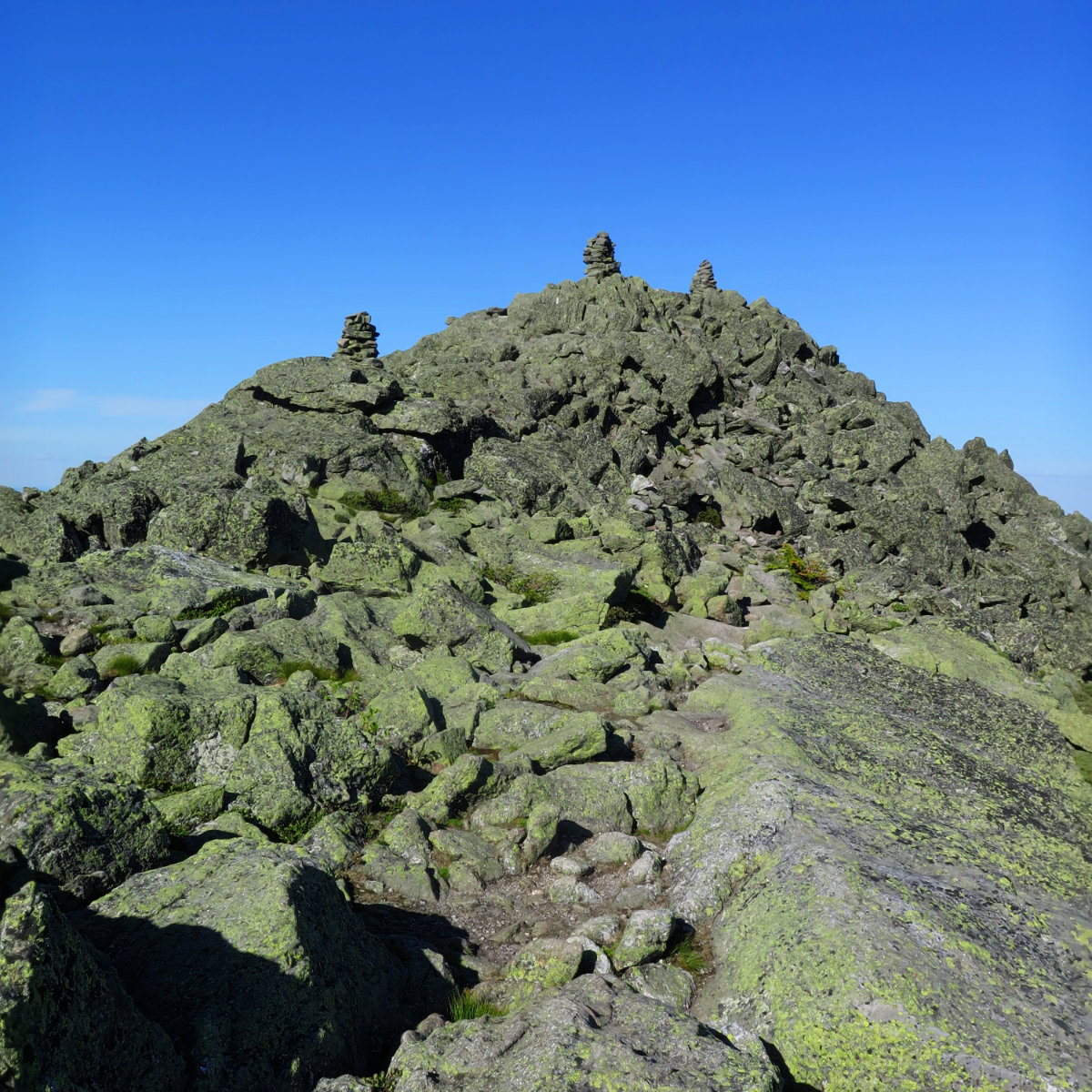
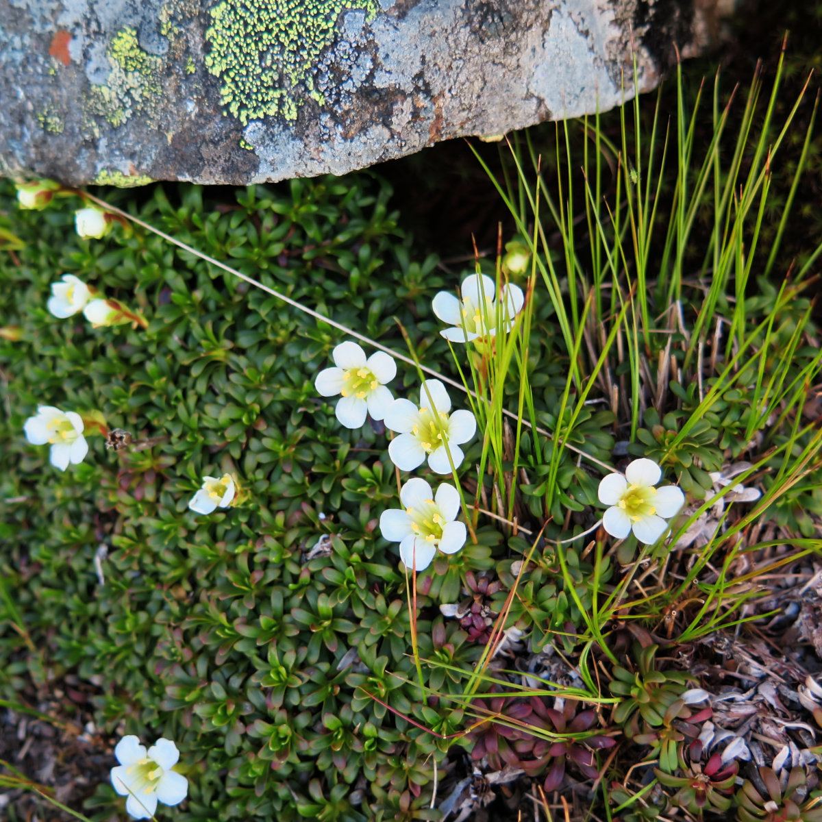
I think for this one, the pictures will tell the story better than I could, so I’m going to let them do that now.
5 thoughts on “Trip Report: Jefferson, Adams, Madison”