Mt Adams (5,799 feet) Randolph, NH. 2019-12-26 (Thursday, Boxing Day.)
Via Air Line Trail, Gulfside Trail, Valley Way Trail. Approx 9 miles round-trip. 4,500 feet of elevation gain.
25 dF at the trailhead, 25 dF at the summit. RH ranged from about 20% to 75%. Winds were negligible in the trees, about 15 knots at the summit. Dew point was negative single-digits to about 25 dF. Partly sunny/mostly cloudy at various points throughout the day.
Trailhead: 0930. Summit: 1330. Car: 1715. Approx 7 3/4 hours.
Surprise Boxing Day gift!
I never expect this, but I know it happens that from time to time, that crazy nice weather descends from the gods, and rests gently on the shoulders of the mountain summits. And so it came to pass that I enjoyed one of those unusual moments on my first hike of the winter, 2019. Without a whole lot of time to prepare, I gathered my stuff and made ready to hike up Adams, knowing this one in particular can be tough. It wasn’t the longest day of the year, but it was one of the finest I could expect in the winter.
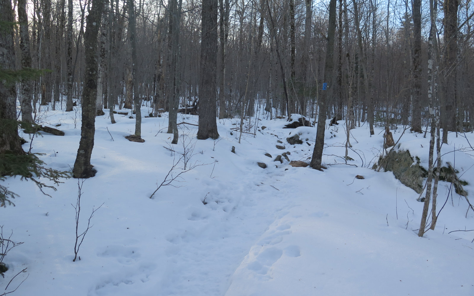
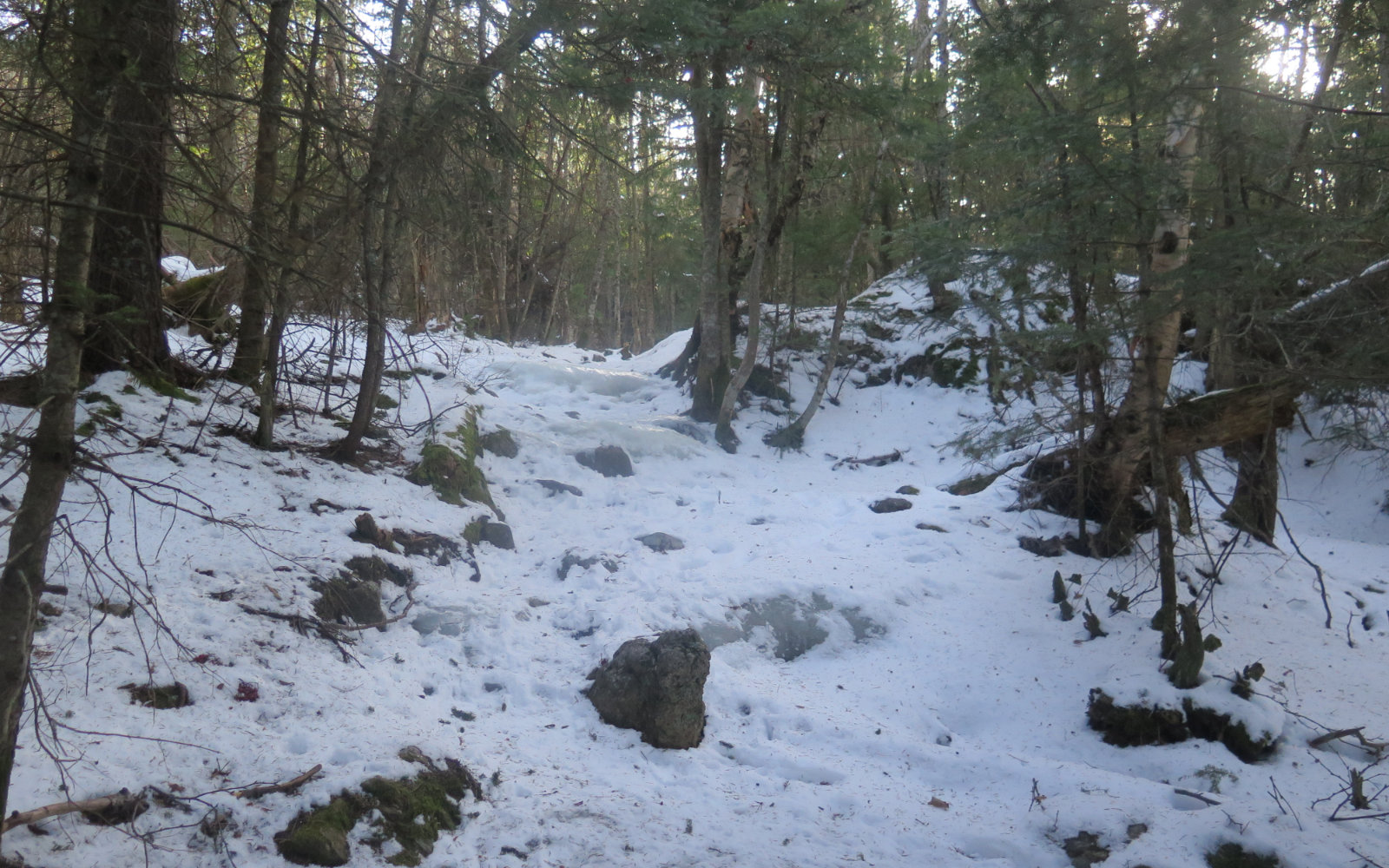
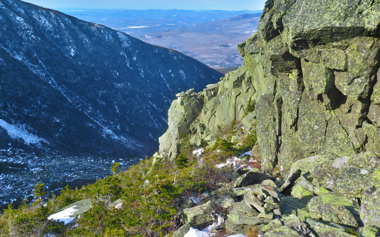
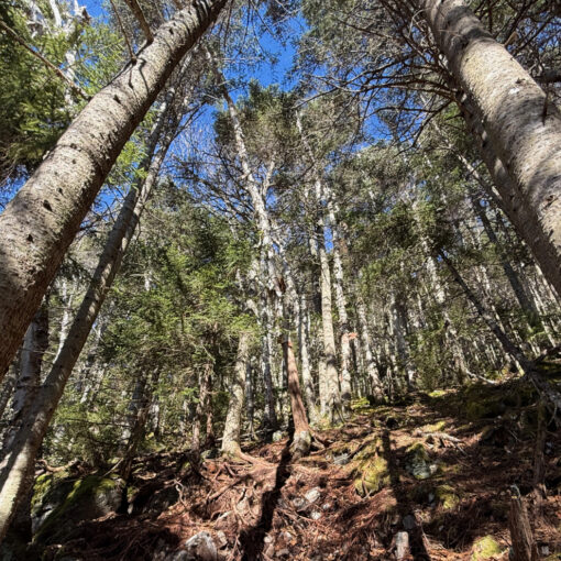
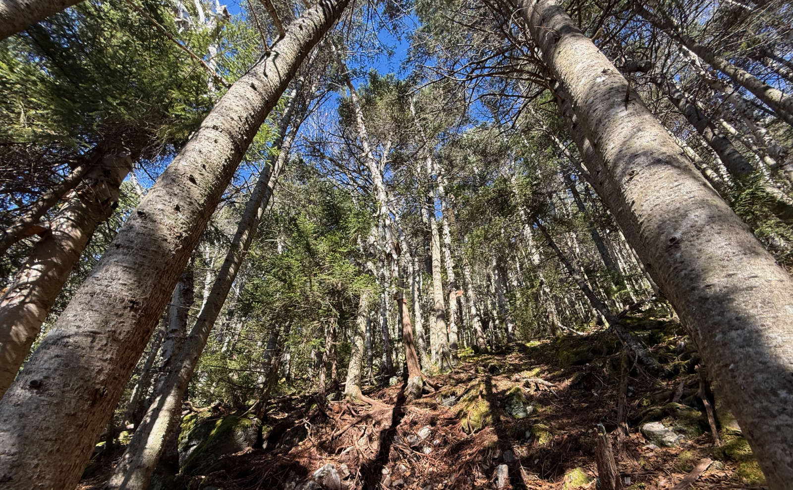
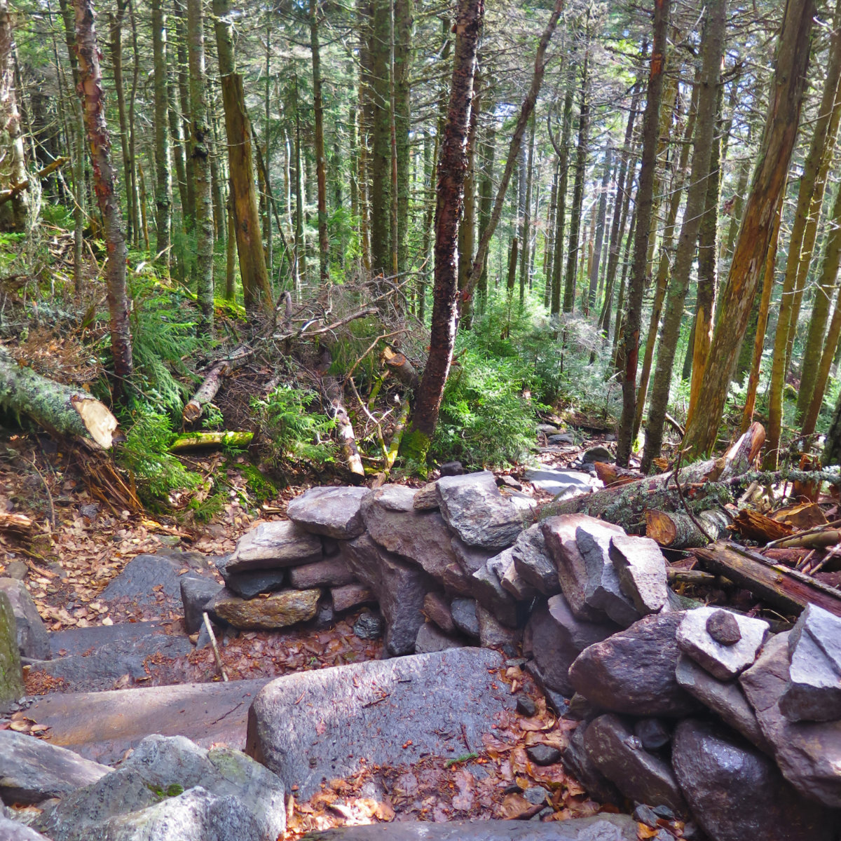
I lucked out and got an early start, arriving at the trailhead just after nine. My hopes were to bag both Adams and Madison, but realistically, I was only expecting Adams. I hit the trail, making decent headway in the lower elevations. Air Line was both well packed, and mostly straightforward. There was a lot of ice in spots, but lightweight crampons did a fantastic job of getting me through. The trail pitched upward, and as it followed various drainages, I found myself crossing a lot of ice. And yet, it didn’t feel treacherous for a moment. A little slow here and there, yes, but never treacherous. All the way up to the summit, I found the snow did at least a fair job of smoothing out the trail. It wasn’t paved with gold like I’ve found on some other mountains, but it was a lot less squirrelly than I’ve seen on Adams in the warmer weather.
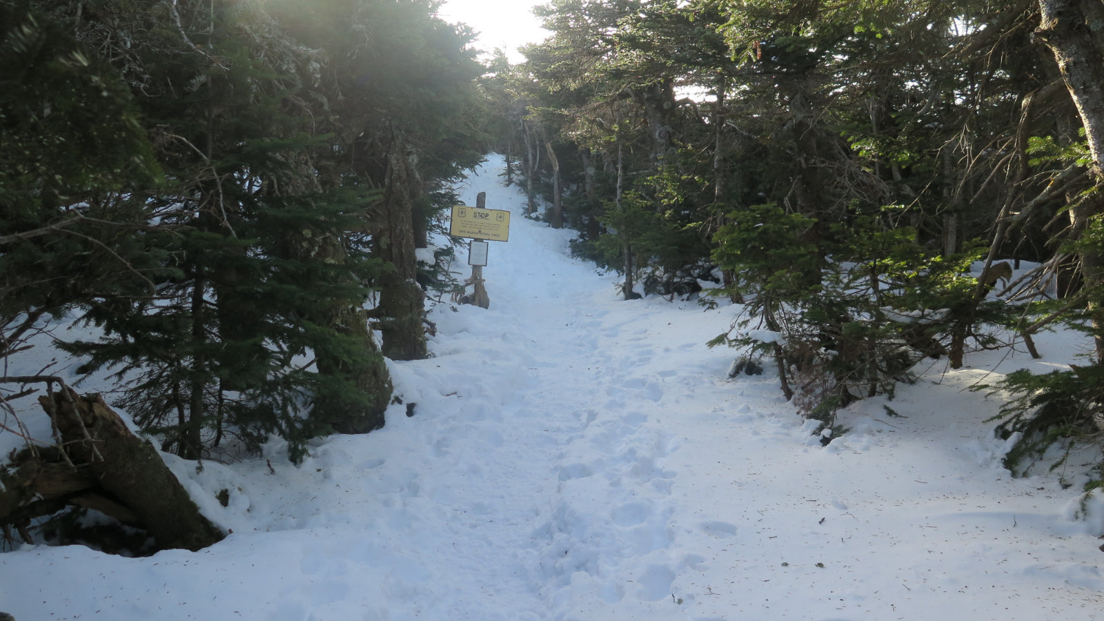
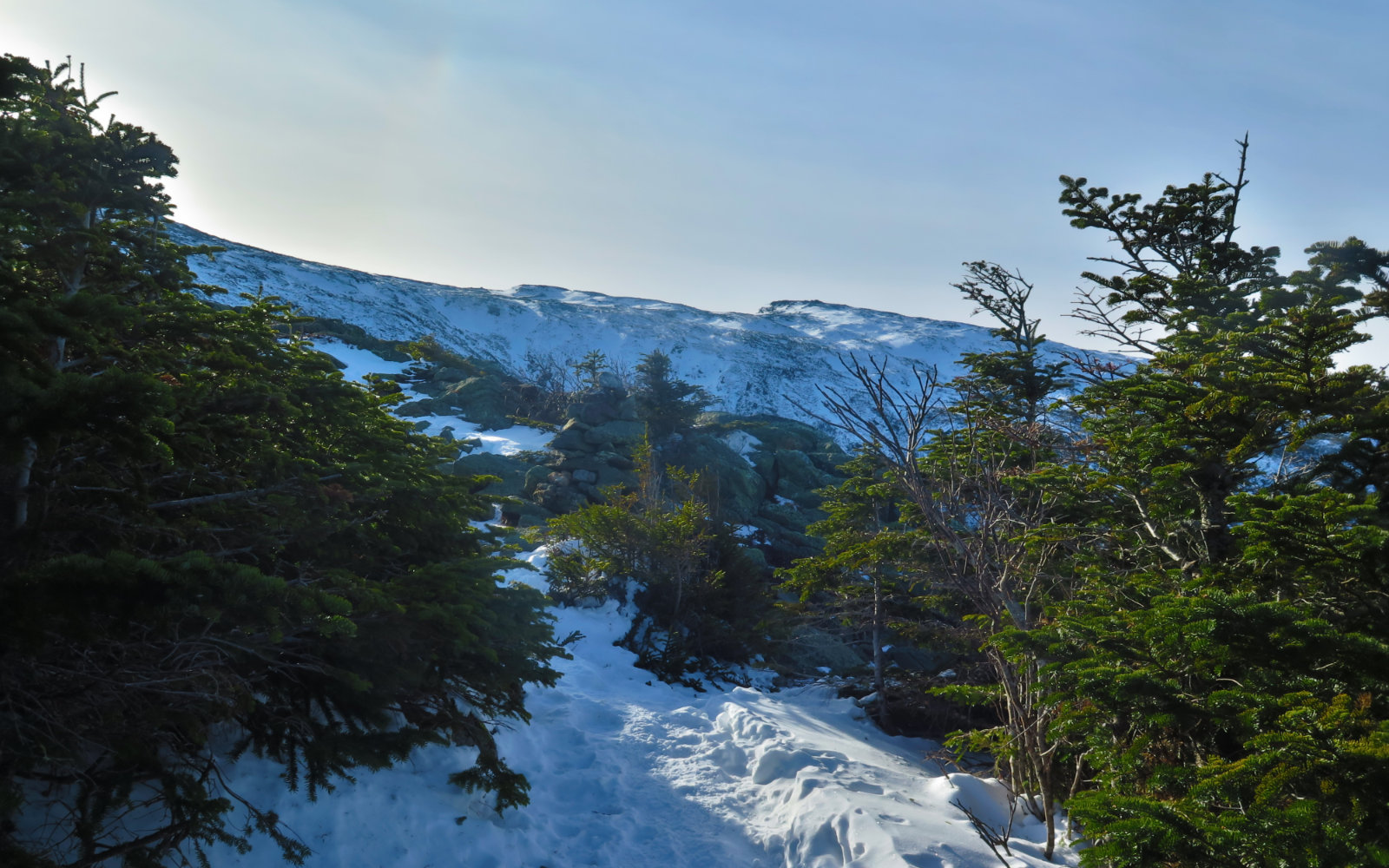
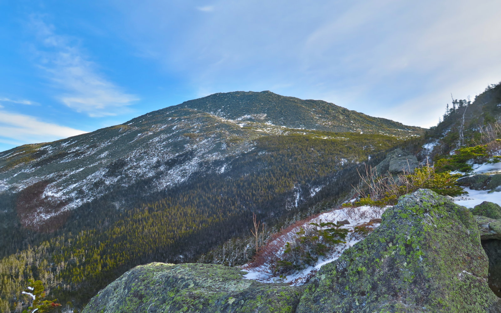
I stopped and noticed that the trees had gotten very small, and more than a little gnarled. Not quite krumholtz, but starting to get that way. Treeline was getting close! So far, I’d been enjoying quite a bit of sunlight filtering through the trees, and occasionally in my eyes. The day felt warm, and I hoped it would stick around up top. Leaving treeline behind shortly thereafter, I got my wish. I could feel the wind for sure, but it was more of a strong breeze than a classic northern Presidential wind. Between the clement weather and my exertions, I avoided layering up besides adding a windbreaker to my fleece vest and shirtsleeves. Wow, this day was shaping up to be one for the ages.
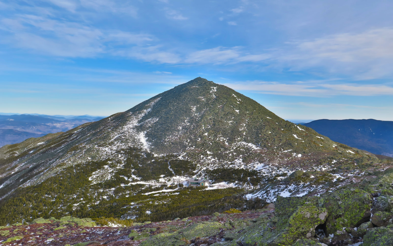
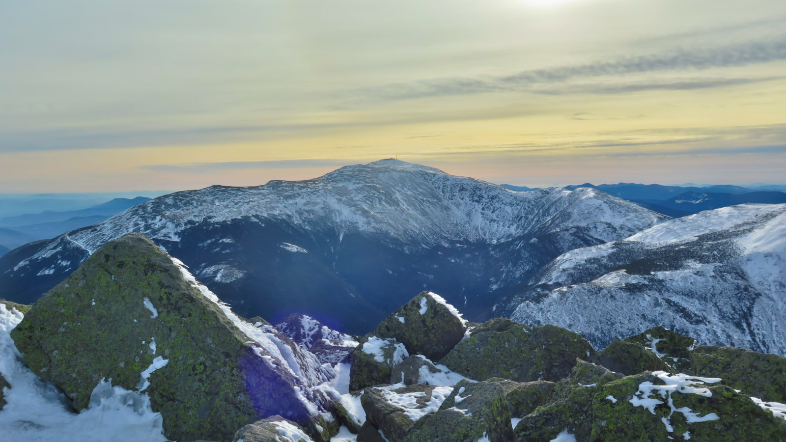
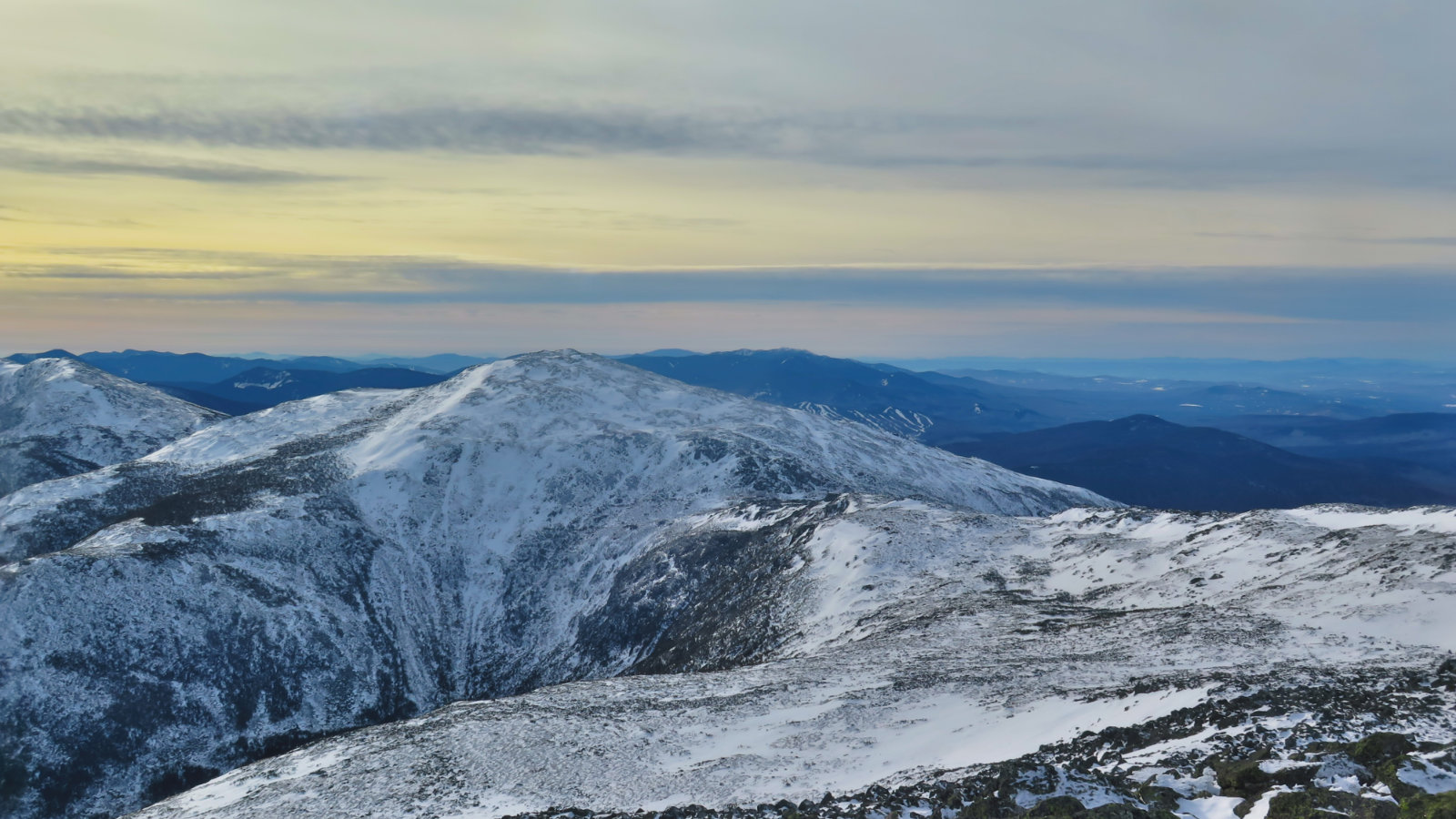
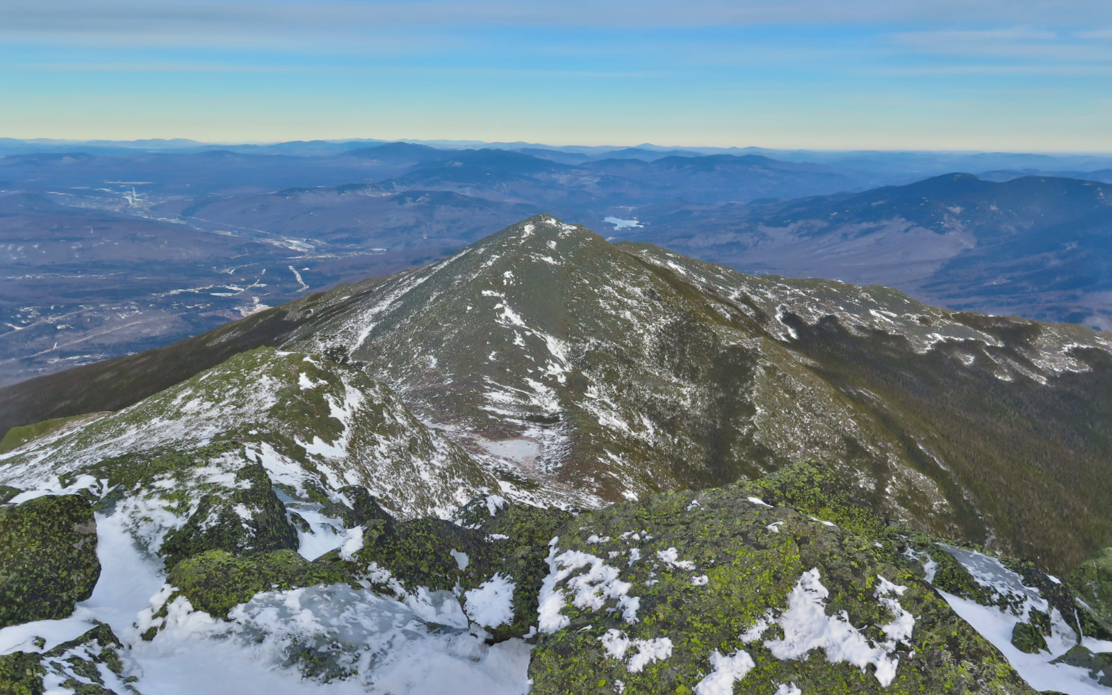
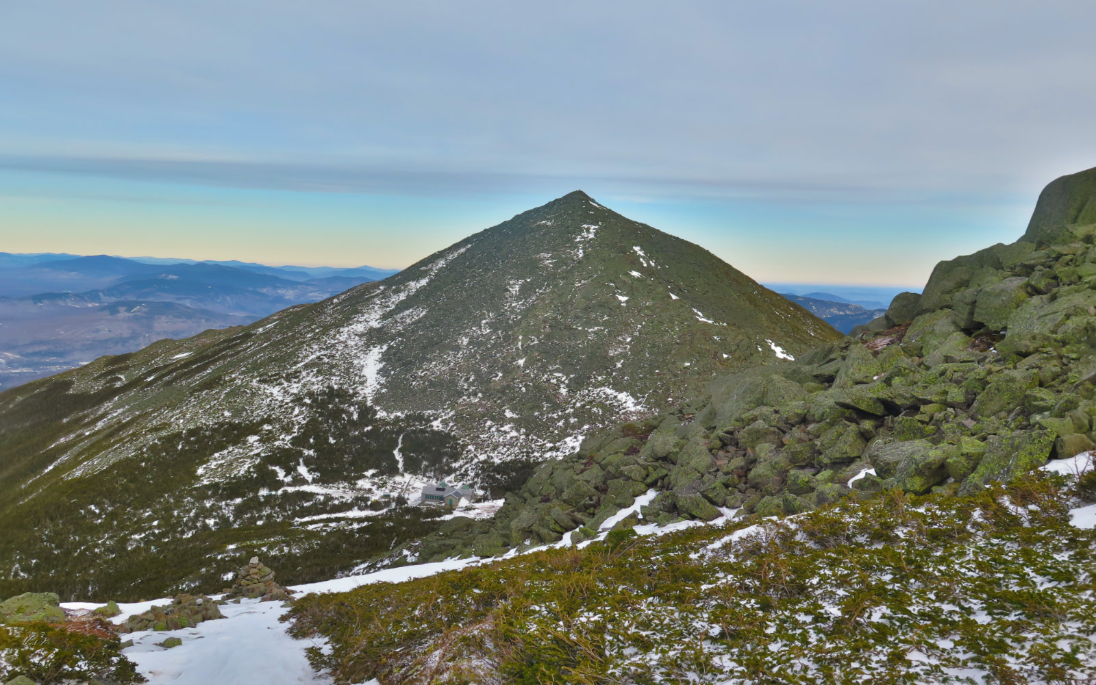
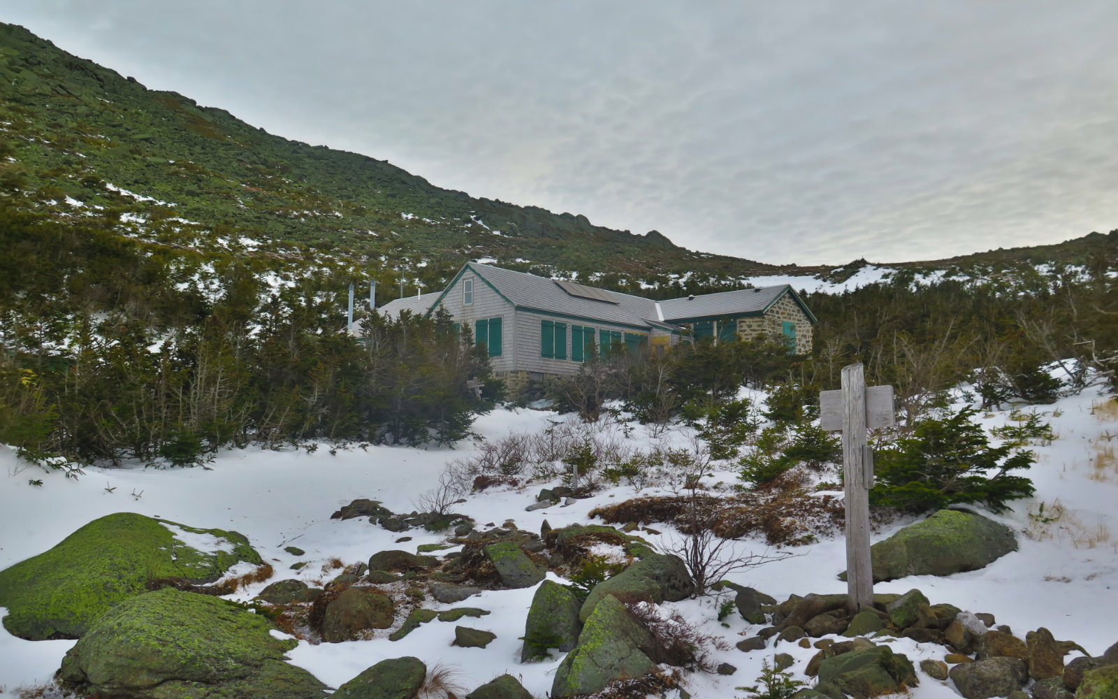
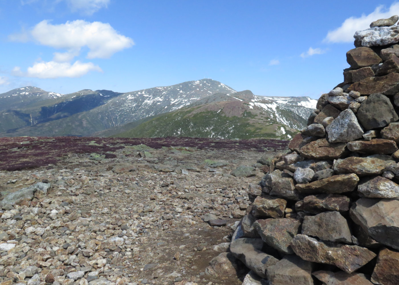
Finally, the familiar summit sign was in sight, and within reach. As I crested the summit, I was treated to a very special view of the Great Gulf, and on the other side, Mt Washington, and golden-honey clouds behind. It was even more majestic than usual. I met some new friends at the top, and we all decided to hike down to Madison Hut together, and then figure out how we’d get back to the trailhead. You can say a lot of things about Adams, but you can’t say it’s got a shortage of trails that can bring you all over the place.
This, by the way, turned out to be a stroke of luck. We were hiking down Valley Way, not far along from the hut, when all of a sudden, I fell, turning my ankle. Now I’ve done this dozens of times and just kept going, but this time felt a lot different. I was hurt. Foremost on my mind was that sunlight was in short supply. I told my new companions “I’m going to walk off this mountain” but I knew then and there that it was going to be a slog. There were probably three miles to go. I grit my teeth and gingerly pressed forward.
It is a wonderful thing when someone you’ve just met says “I’m going to stick with you and make sure you get out OK.” Sure enough, we arrived at the trailhead a fair bit after dark, but safe and sound. There was no shortage of discomfort, but having companionship (and especially conversation) kept me focused on moving, not the pain.
So on one level, it wasn’t a perfect day. As I write this, I’m nursing a very sore ankle, hoping it’ll cool itself down in short order. I doubt it’s going to be anything that requires more than ice, some ibuprofen, and a little rest. Maybe a little sports tape or an Ace bandage. Then again, I’m lousy at listening when my doctor says I should slow down a little.
But on a way bigger level, there was fantastic weather on the higher summits today, and fantastic views reaching out to Vermont, Maine, and likely Canada. So even with its warts, I’ll take it.
Nuts and Bolts: Getting to Adams is a matter of driving up 93, then following Rte 3, 115, and 2 until you see the “Lowe’s Gulf” gas station on the left. At that point, slow down a bit, and watch out for a parking area and trailhead on the right, about a minute after you pass Lowe’s Gulf.
Several trails share the common trailhead at Appalachia, so be mindful of where you are, at least until you get a fair bit down the trail. Note that you’ll cross the Presidential Rail Trail within moments after you cross the “threshold” of the trailhead, so stay alert as to where you’re going. Air Line is blazed in blue, and both it and Valley Way consistently have small arrow signs pointing the way wherever there’s a trail junction. But of course, don’t count on them being there when you visit. As always, bring a map and compass, and know how to use them with reasonable skill.
If you enjoy reading these posts, please subscribe — stay in the loop! Your email will only be used to alert you of new posts — typically 1-2 times per week. I will not use or share your email for any other purpose without your express permission.

8 thoughts on “Trip Report: Mt Adams”
Great write up!
Glad you enjoyed it. Watch out for your footing up there!