
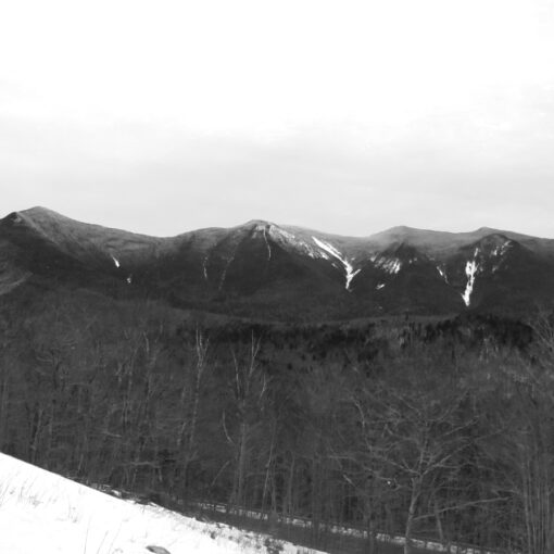
Mt Adams (5,799 feet). Randolph, NH. 2020-09-09 (Wednesday.)
Via Via Pine Link, Star Lake, Israel Ridge, Gulfside, Parapet, Osgood, and Howker Ridge trails. Approximately 10 miles round-trip.
Mild summer temperatures at all altitudes. Winds were negligible throughout the day, only becoming marginally windy in exposed areas at nightfally. Sunny with a moderate haze throughout.
Trailhead: 1300. Madison Hut: 1630. Mt Adams summit: 1730. Howker Ridge trail: 1930. Car: 2200.
Rugged Rocks Rising Relentlessly!
It’s funny how sometimes I get back from a hike, and the report has written itself on the drive home. And then there are others where I actually have to sit down and put thoughts down, play with words a little, and something comes out. Yesterday’s outing falls into neither category. Which is fitting, seeing as plans for this week kept getting made, dashed, changed at the last minute… I did, in fact, get outside, which is testament to something.
Anyway…
Looking at my spreadsheets of doom, where I keep track of my progress on the grid and on redlining, Adams was next on the list. Officially, I’ve done the 48 in springtime and in the summer. Between the other two seasons, I’ve got enough done to cobble together a third round, too. Huzzah! I’m at the point where I need to really watch what I’m doing, to avoid duplicates. That said, there’s still a lot out there to explore and have fun doing so.
I’d originally planned on a Thursday hike, but watching the Mt Washington Observatory’s Higher Summits Forecast, I noted a subtlety: they called for a slight chance of rain and thunderstorms on Wednesday, but a chance of the same on Thursday. Note the absence of the word “slight”. That made all the difference. My eagle-eyed readers will notice, from my notes above, that they completely blew the forecast, much to my enjoyment. (Technically, they were spot-on: “slight chance” can very well play out as “absence.” I mean, everyone has a slight chance of winning the lottery, right?) I have no idea what happened in the mountains today, but in the southern end of the state, it was rainy all day. So I think I called that one right. It pays to watch the forecasts, folks.
Owing to a number of factors, including last minute household stuff that needed doing “now,” I got to the trailhead late. Somehow, I have this magnet somewhere in my car, that is highly attractive to traffic and slow-moving dump trucks, which of course didn’t help things. But at last, I found myself at the trailhead, breathing fresh forest air, finally taking those first steps into the woods. The exhaustion of the work-week began fading as the forest did its magic.
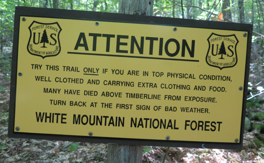
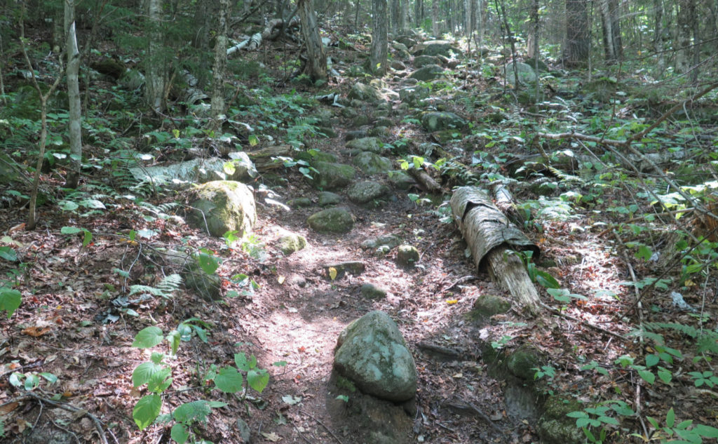
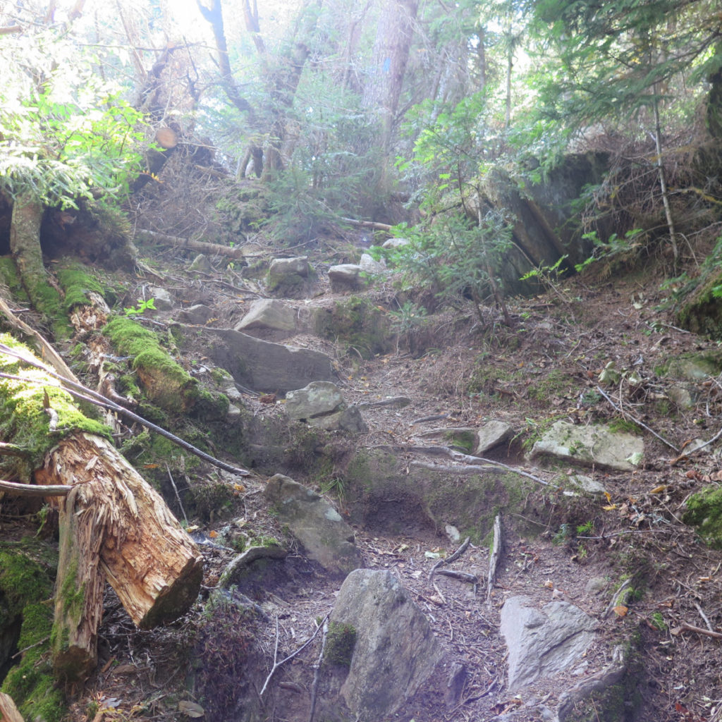
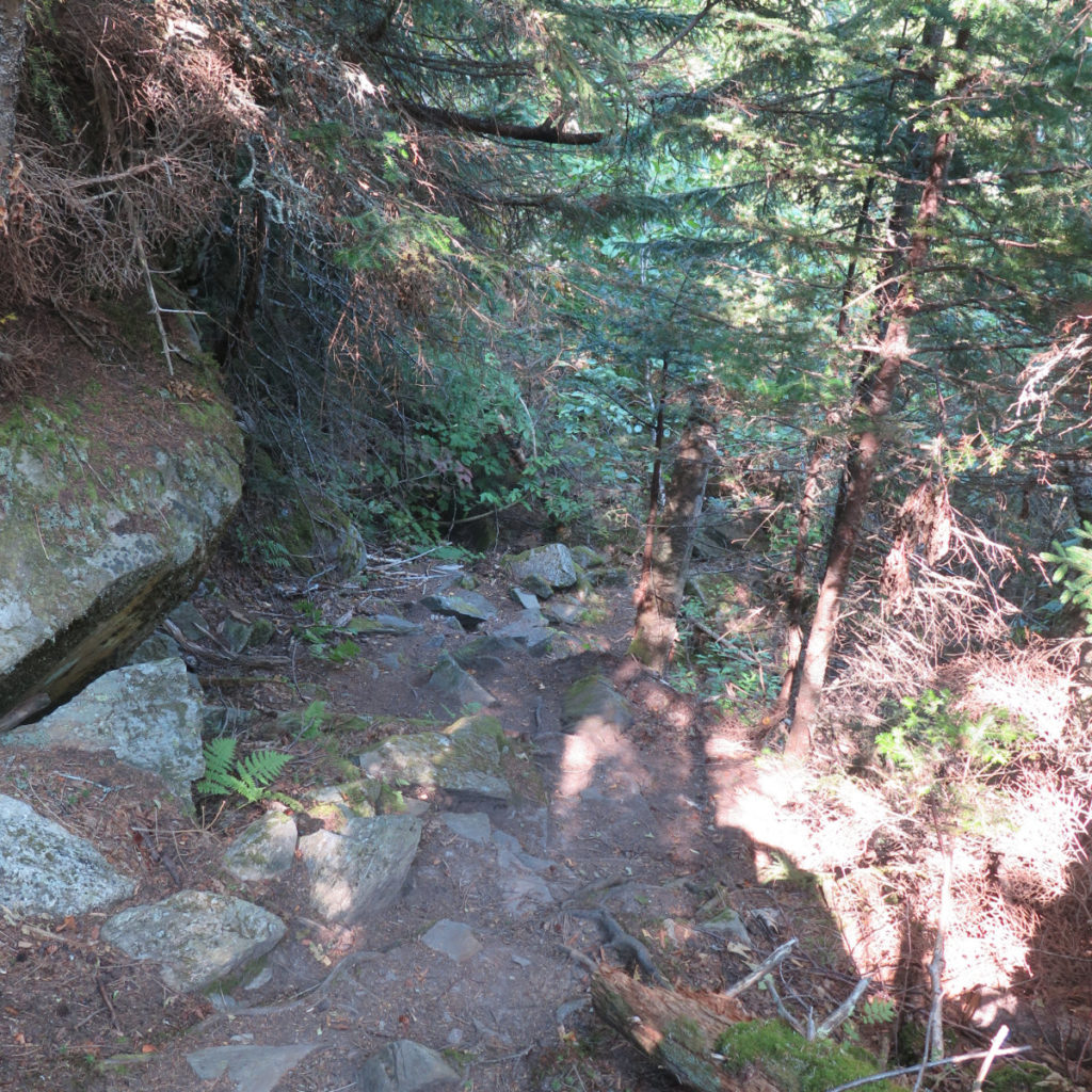
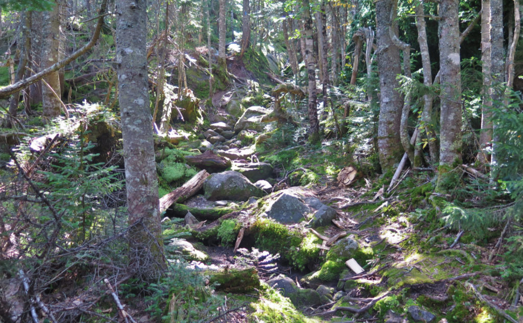
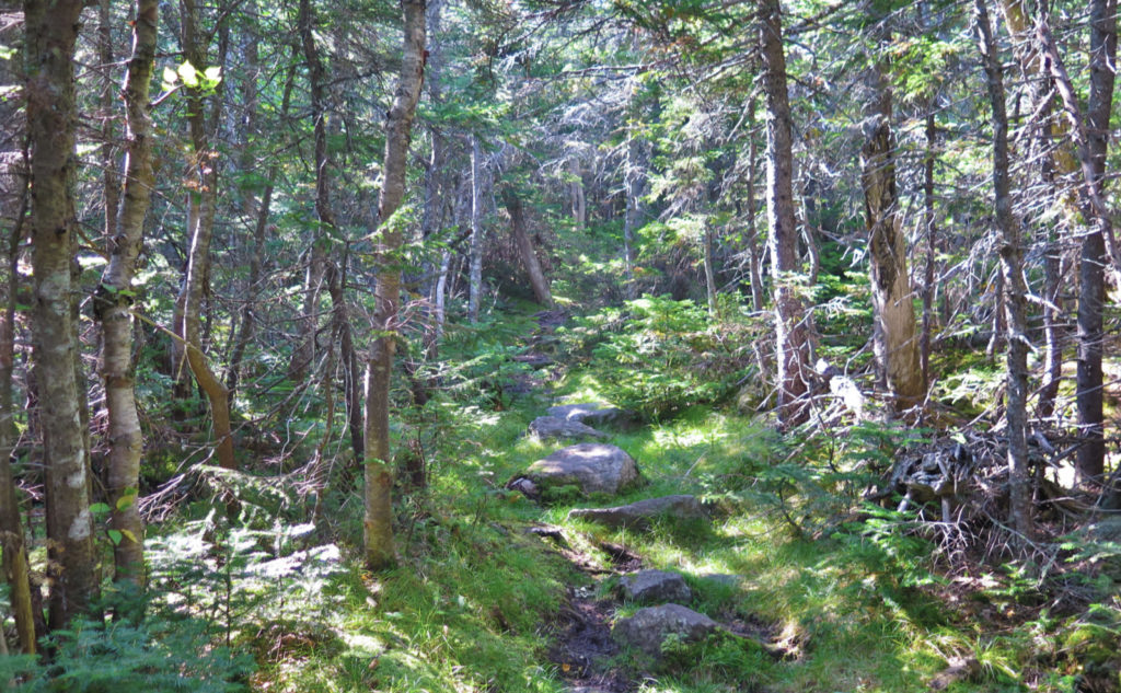
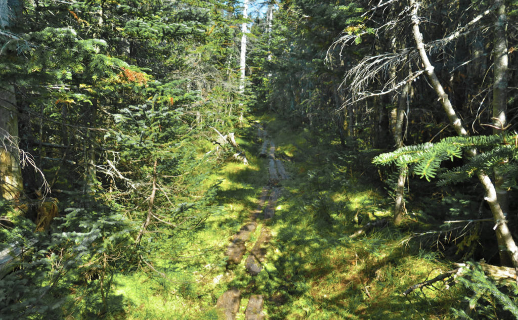
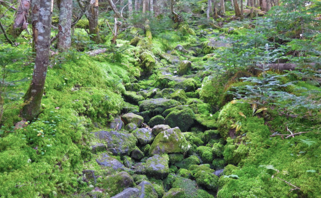
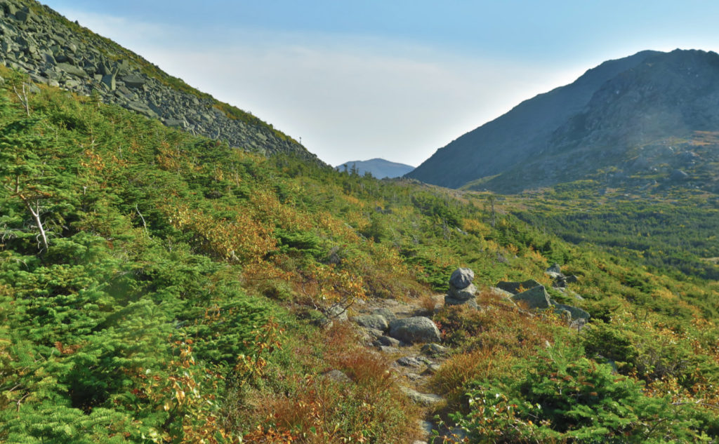
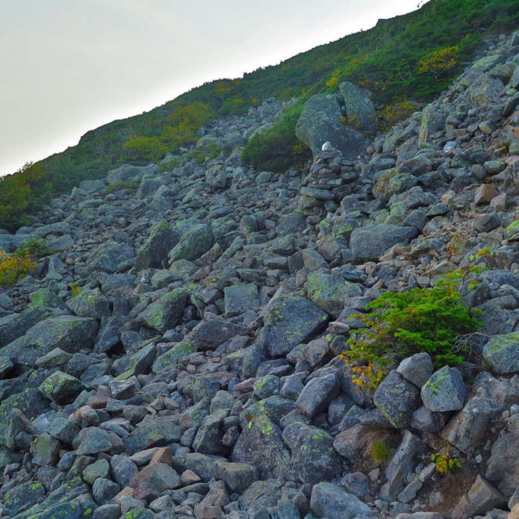
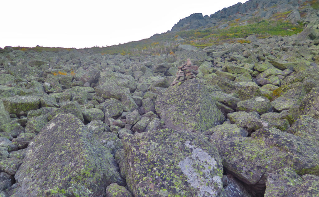
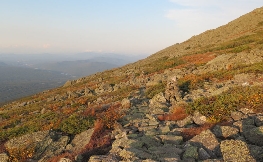
A lot is said in the AMC book about Pine Link trail, none of which make it sound very easy, but at the same time, nothing makes it seem insane either. I think it treads a line, but one that leans toward being harder rather than easy. Almost from minute one, I began climbing in earnest. There’s no smooth, easy approach path, followed by a gradual change in grade. Indeed, pretty much straight away, it fires an opening salvo where you’re climbing pretty much constantly for the first hour or so. This wouldn’t be so bad, but the trail isn’t the most smooth. The upshot of this meant I was drenched in sweat in very short order. You work hard for your mileage on this trail. Of course, this wasn’t a short summit-and-back hike. I wanted to get some redlining done, so I did a few other things, too. All told, it was a long, strenuous day. But I saw a few things here and there, along the way.
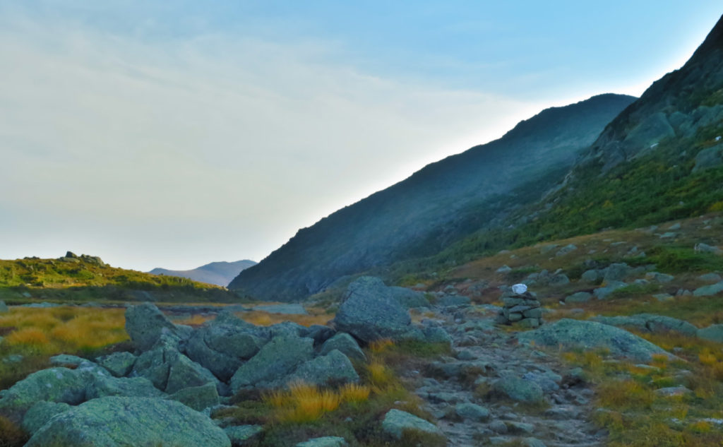
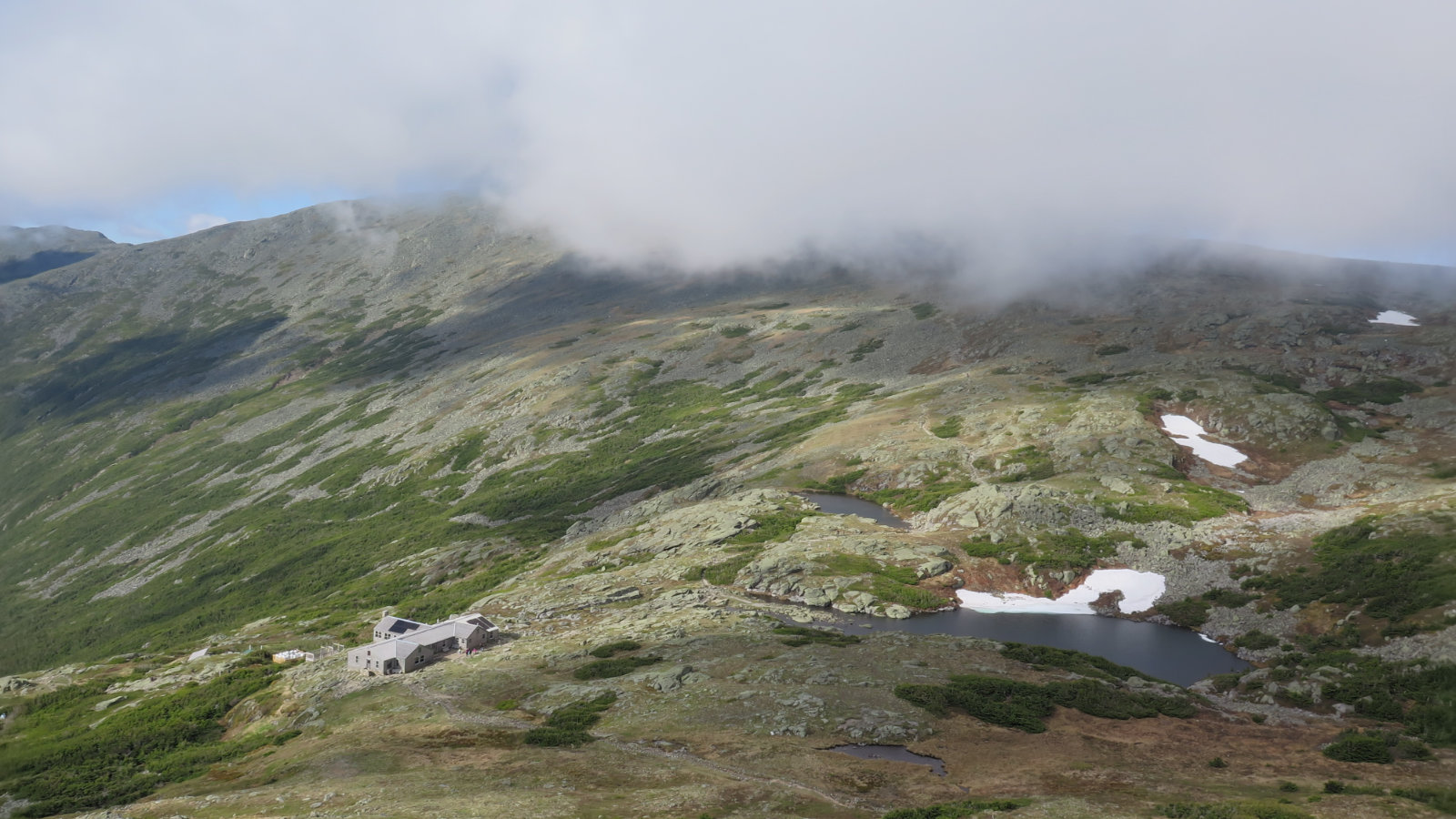
I’d planned on taking Pine Link up and back again. I hadn’t really firmed up what I’d do once at the hut, but I did have my eye on Star Lake. At the hut, the caretaker mentioned that trail was a climb, so I figured I’d come down Lowe’s path to Gulfside. One thing I’ve found is that anything associated with the AT likely has the better footing of all local options, so I’d be back at the hut fairly quickly. I weighed the option of just turning back, but that was met with her “y’know, you came all this way…” and given that it was nice weather with a mild evening forecast, I dismissed the idea. I was going to have to descend in the dark for at least some of the hike back anyway. Might as well knock stuff off the lists.
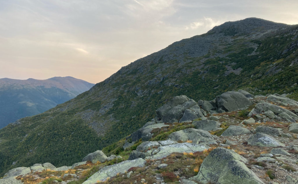
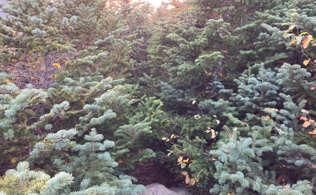
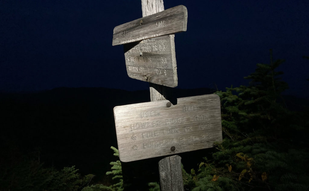
Parapet Trail was a surprise add-on. The day was quickly becoming night, and I had to make some decisions. The top half of Pine Link seemed sketchier than I wanted to deal with by headlamp. Howker Ridge had stuck in my mind as quite a bit easier. I wanted to avoid crossing Madison’s summit in the dark, because making that descent didn’t seem a smart choice. The trail is an overgrown mess, but fortunately I was through the worst of it with the remains of the day’s light. I was halfway up Osgood to Howker Ridge before I had to cave in and break out the headlamp. It was well and truly time to head home.
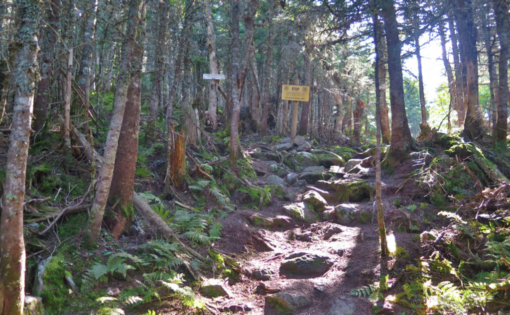
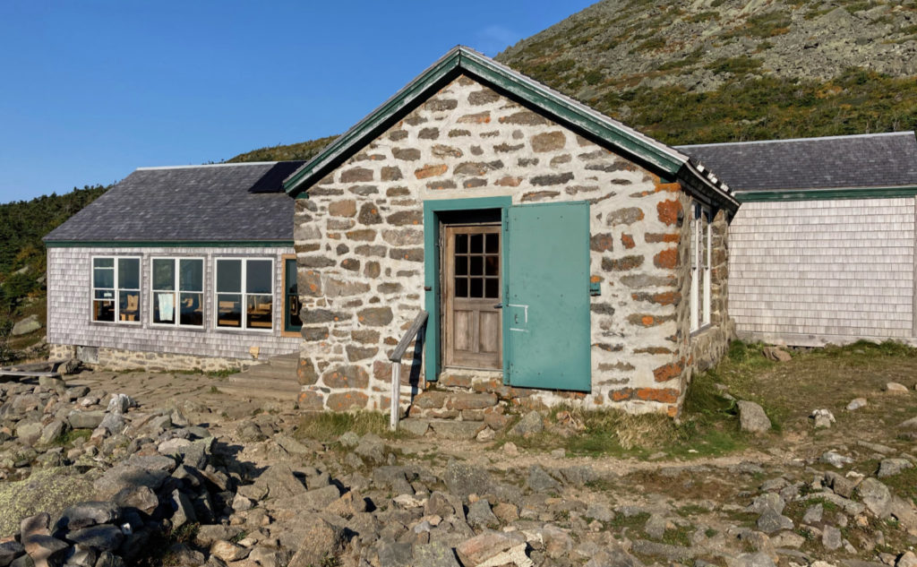
The huts are “kinda” open, but the caretaker was most definitely starting to pack things up for the winter. She had no real idea what the AMC’s plans are (and didn’t sound sure the AMC does, either) but she did say it’s days, not weeks, before things shut down for the season. Don’t count on that door remaining open for long.
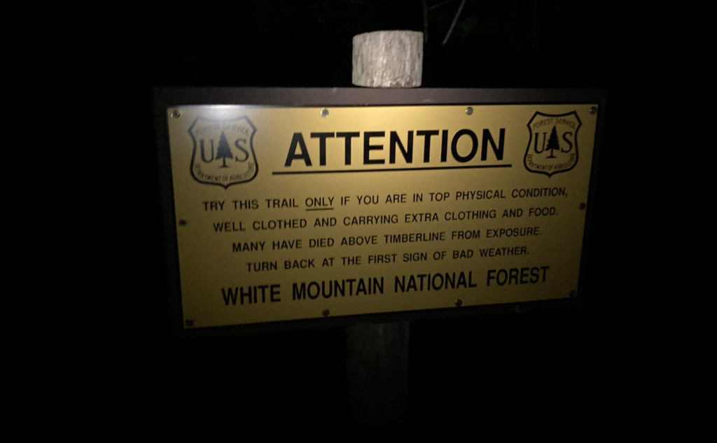
This wasn’t the most straightforward route up or down the mountain. I’m not sure it’s the most spiritually redeeming, or the most challenging, or what-have-you. But does it matter? I will say that the forest service has it spot-on that this isn’t an easy one.
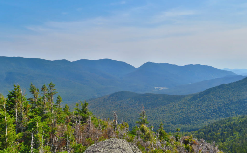
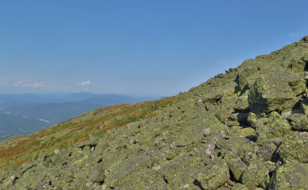
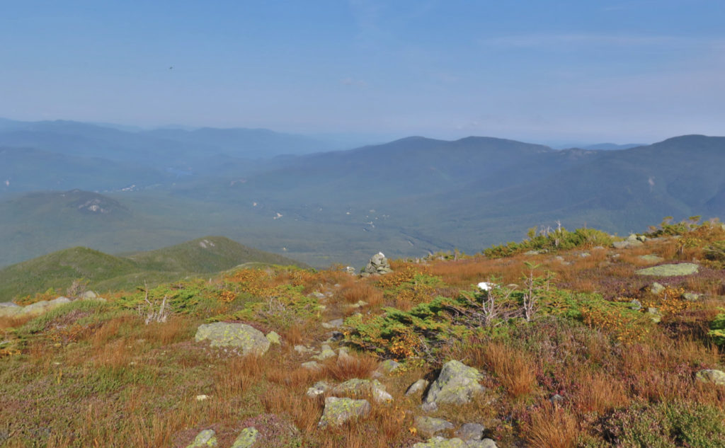
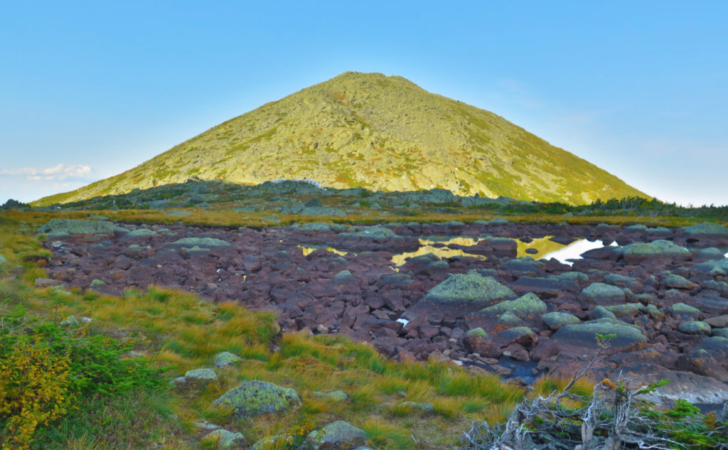
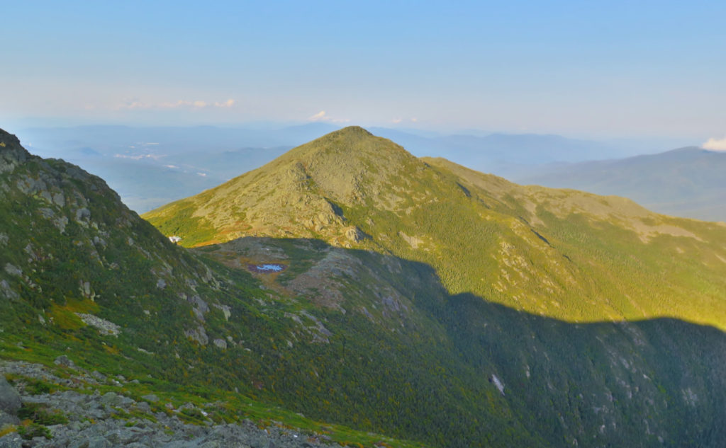
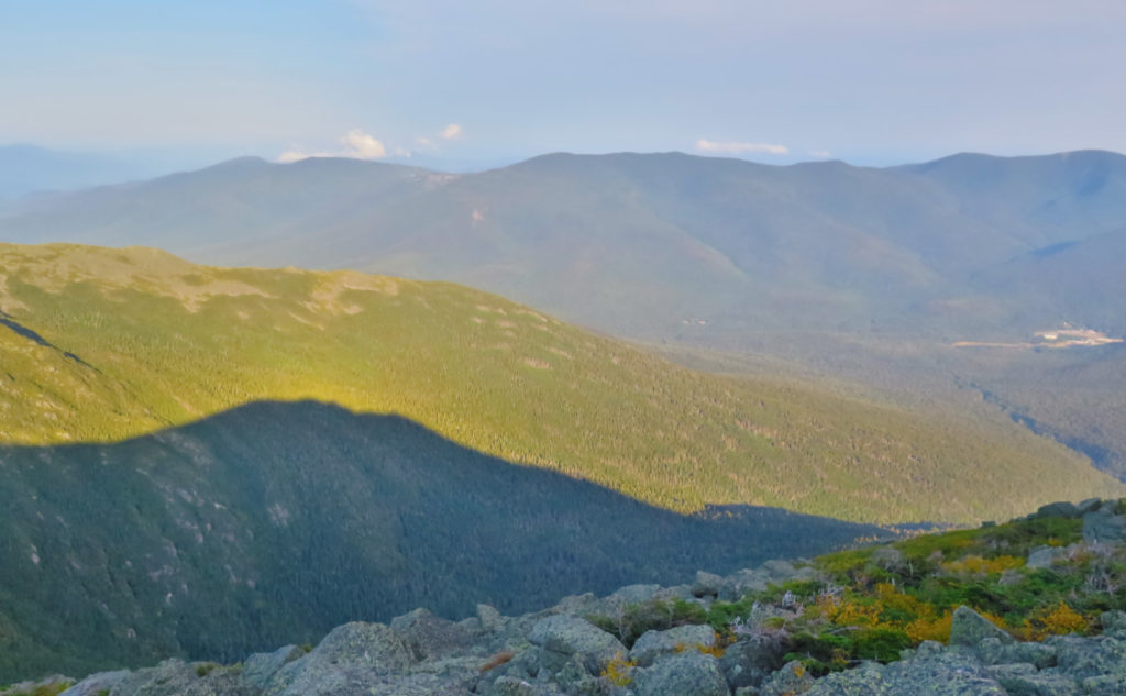
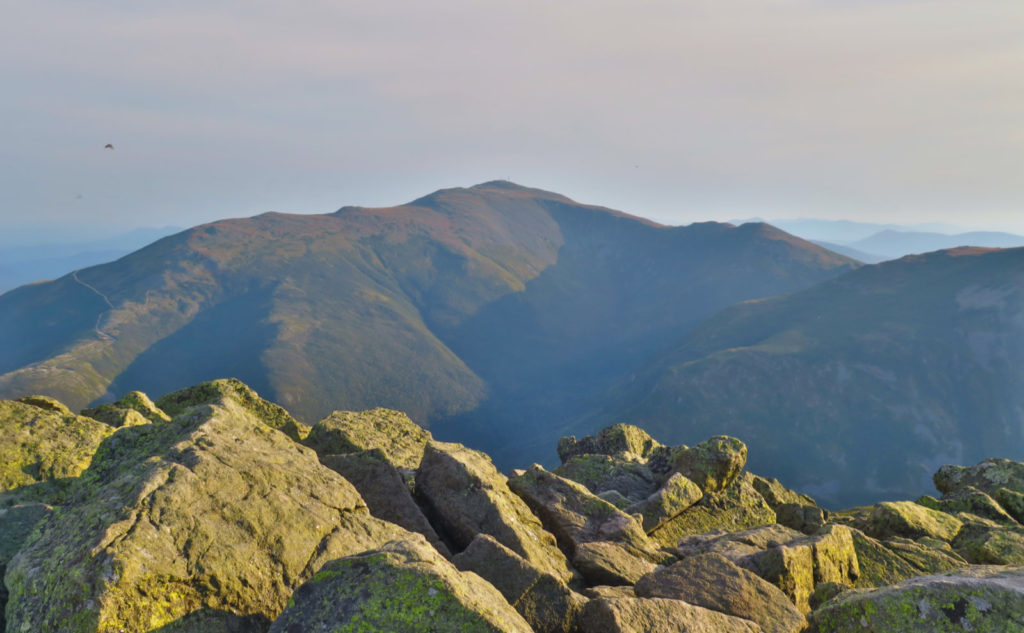
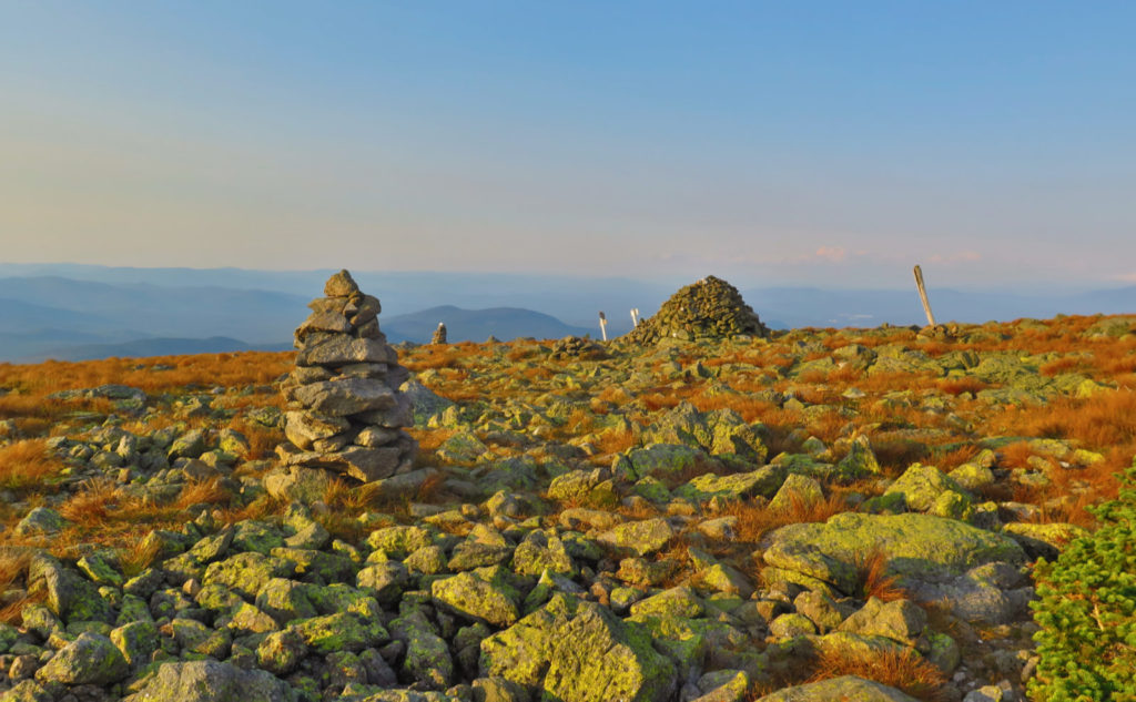
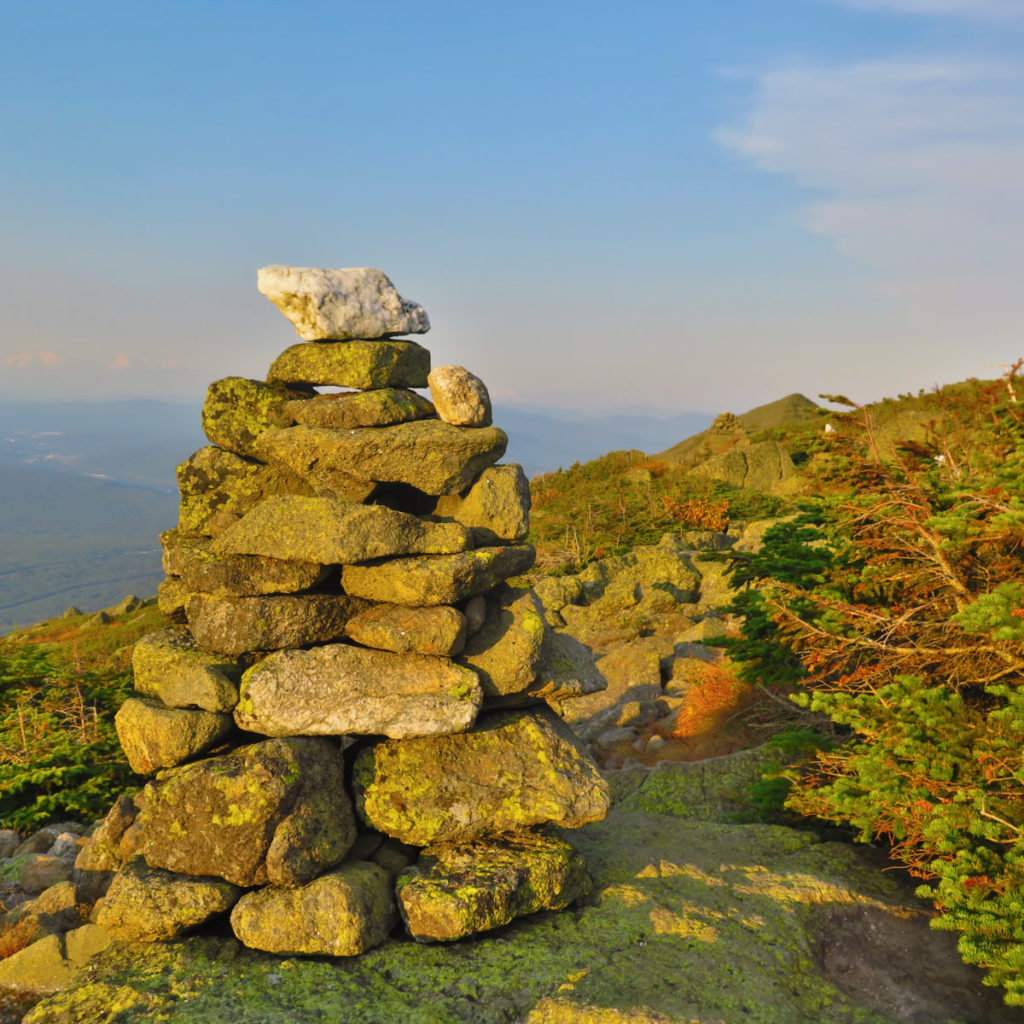
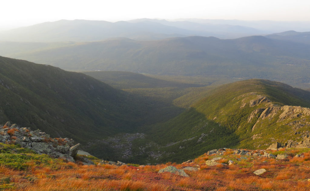
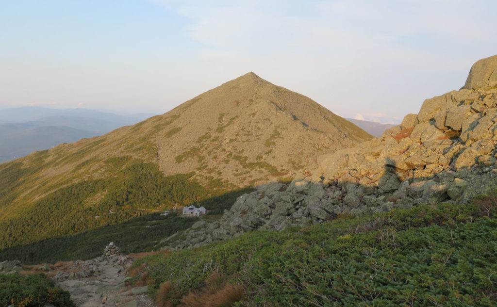
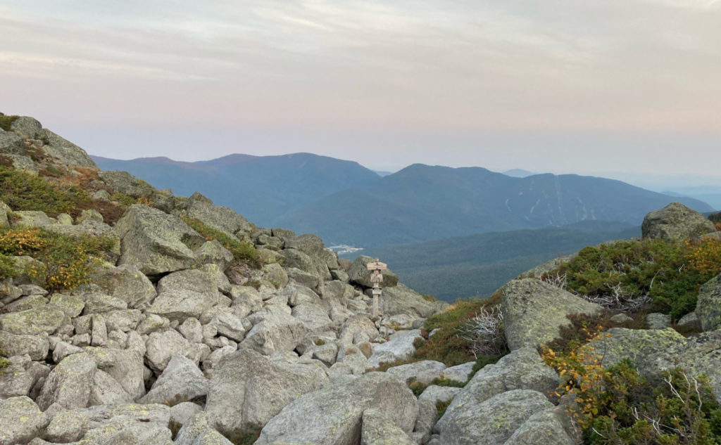
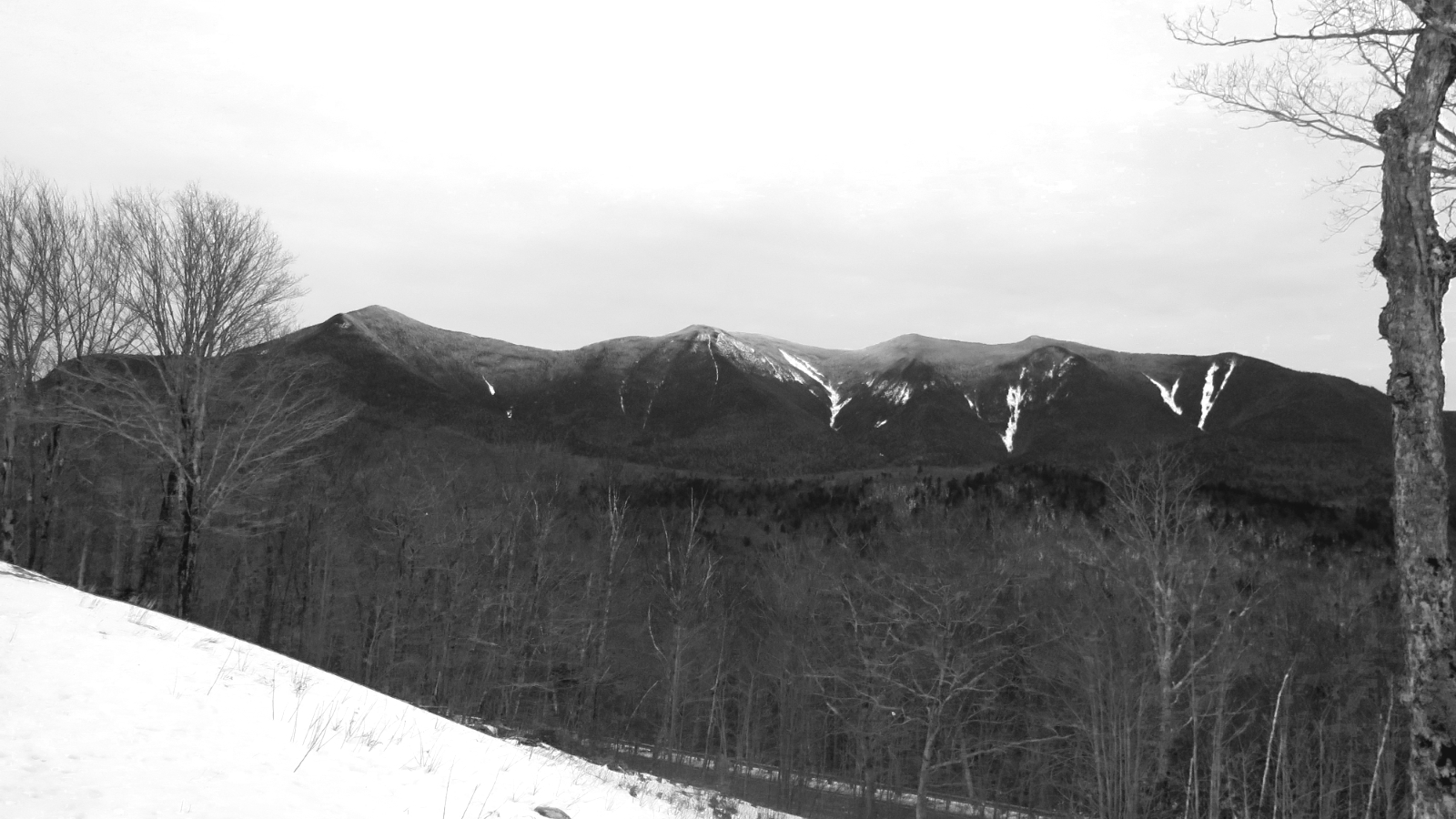
What I did get was another outing in the Presidentials. I’m probably done with the idea of making peace with Adams at this point. I’ve figured out its main draw, and I’ve come to realize there are a few other hidden attractions, too. The rock hopping isn’t nearly as daunting anymore. (Though to be true, I’ve got my foot taped up, because three weeks of this has me a bit sore.) The views from the top are epic, to say the least. At the hut, we were debating why there are so many trails up. My answer remains “because they found so many things to see along the way that they had to cut a trail that went through there.” I’m pretty sure that’s the case.
As always, stay safe out there.
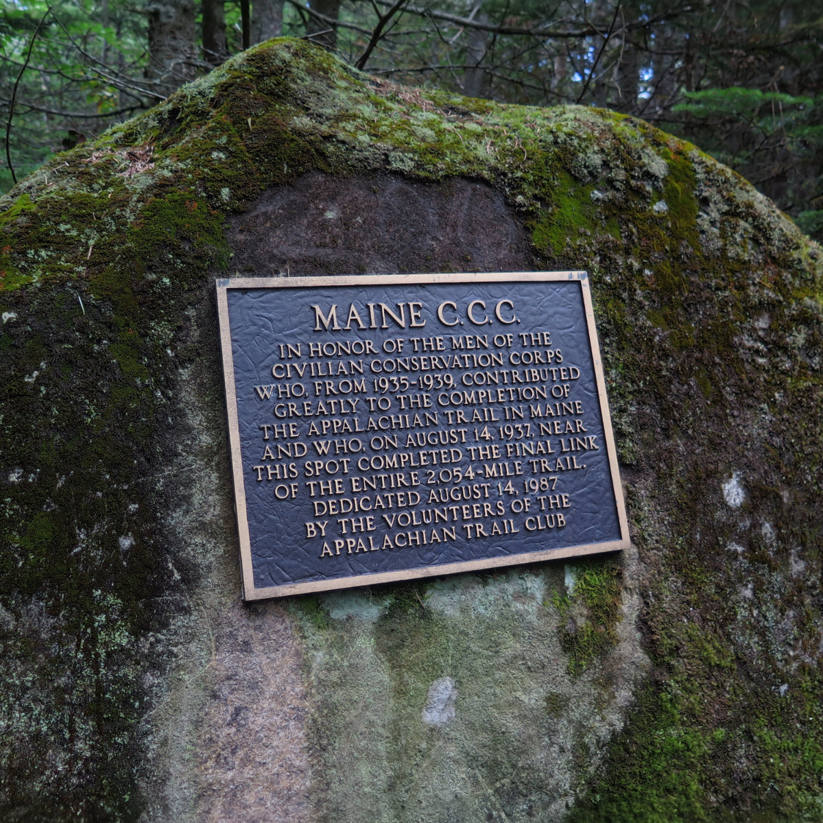
Nuts and Bolts: Trailhead is on Pinkham B. It’s about midway along the length of the road, so you’re no better off coming in one side or the other. Know that it’s a minimally maintained dirt road, so go carefully. Parking area can take half a dozen cars. Trailhead is pretty obvious to find. Blazes are blue. It’s a long trail that bypasses Madison’s summit, but the trail itself connects up to the AT.
If you enjoy reading these posts, please subscribe — stay in the loop! Your email will only be used to alert you of new posts — typically 1-2 times per week. I will not use or share your email for any other purpose without your express permission. And feel free to share via social media using the buttons below.
Find me in the mountains, on this blog, or on Twitter: @Protean_Hiker https://twitter.com/Protean_Hiker/
6 thoughts on “Trip Report: Mt Adams via Pine Link Trail.”
Did you visit the Big White Rock (chalcedony boulder the size of a bus)? One of my favorite places
Not sure which one you’re referring to? I saw a bunch of boulders on the trail — I’d say glacial erratics anywhere else, but quite a few could very well have rolled down from “upon yonder”. And the outlook (looking out over Wildcat and Pinkham Notch in general) was an outcropping of mostly whiteish granite.