Steep, Sunny, Satisfying. (Also, Similarly Somnolent.)
Mt Hancock and South Hancock. 2019-07-25 (Thursday.) Via the Hancock Notch trail, Cedar Brook trail, Hancock Loop trail. Approx 10 miles.
North Hancock, 4420; South Hancock, 4319 feet.
75 dF at trailhead, cooler at the summit. Mainly sunny with negligible wind.
Trailhead: 1215. North Hancock Summit: 1445. South Hancock Summit: 1530. Car: 1800.
Looking back at my entry from last year, I’m taken by a couple things: my times were startlingly similar, and I slept in. As well as that, last year, I wore a brand new pair of trail runners (the Salomon XA Pro 3D’s that I ended up detesting.) This time, I wore a brand new pair of La Sportiva Akyras, which blew me away almost immediately. Weird. Plus ça change, plus c’est la même chose.
(On the new kicks, 10/10 so far. The “Frixion” rubber for the soles was practically gluing itself to damn near everything. I was similarly impressed with the La Sportiva Ultra Raptors I’ve been wearing, tho the Akyras seem to have stepped up the game as far as traction is concerned.)
Today I enjoyed much sunnier weather, which made things very nice indeed. In contrast to last week’s furnace-like temps, today, they were much more clement — more what I’d expect at the end of summer. Either way, I’ll take it.
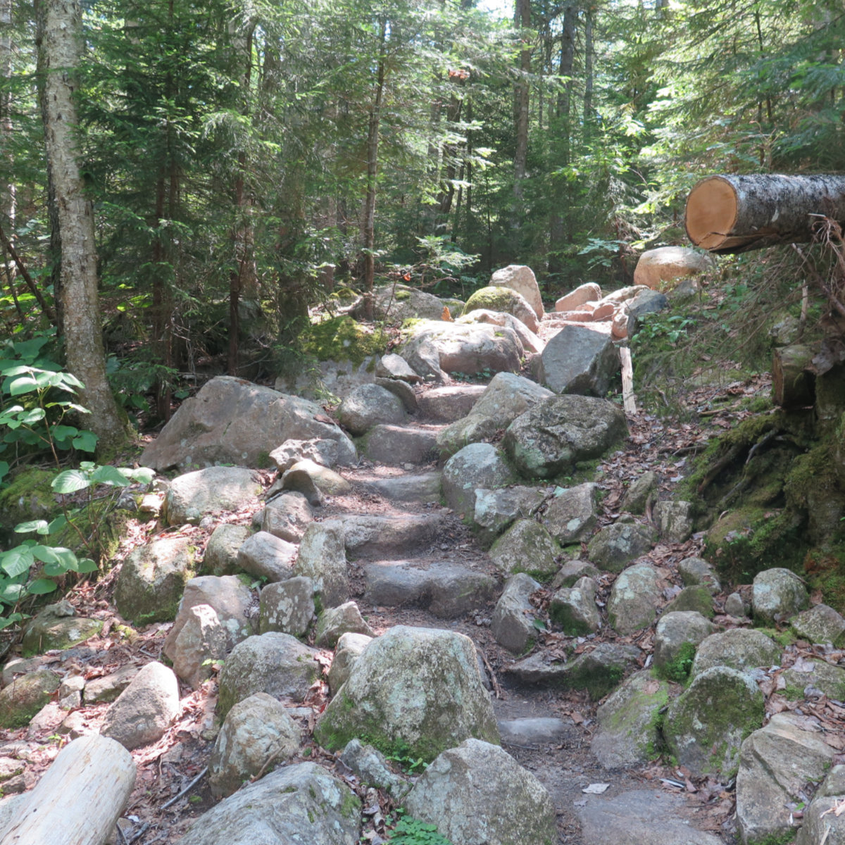
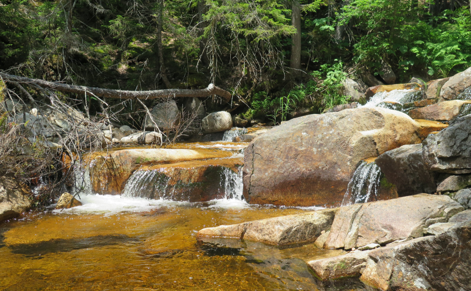
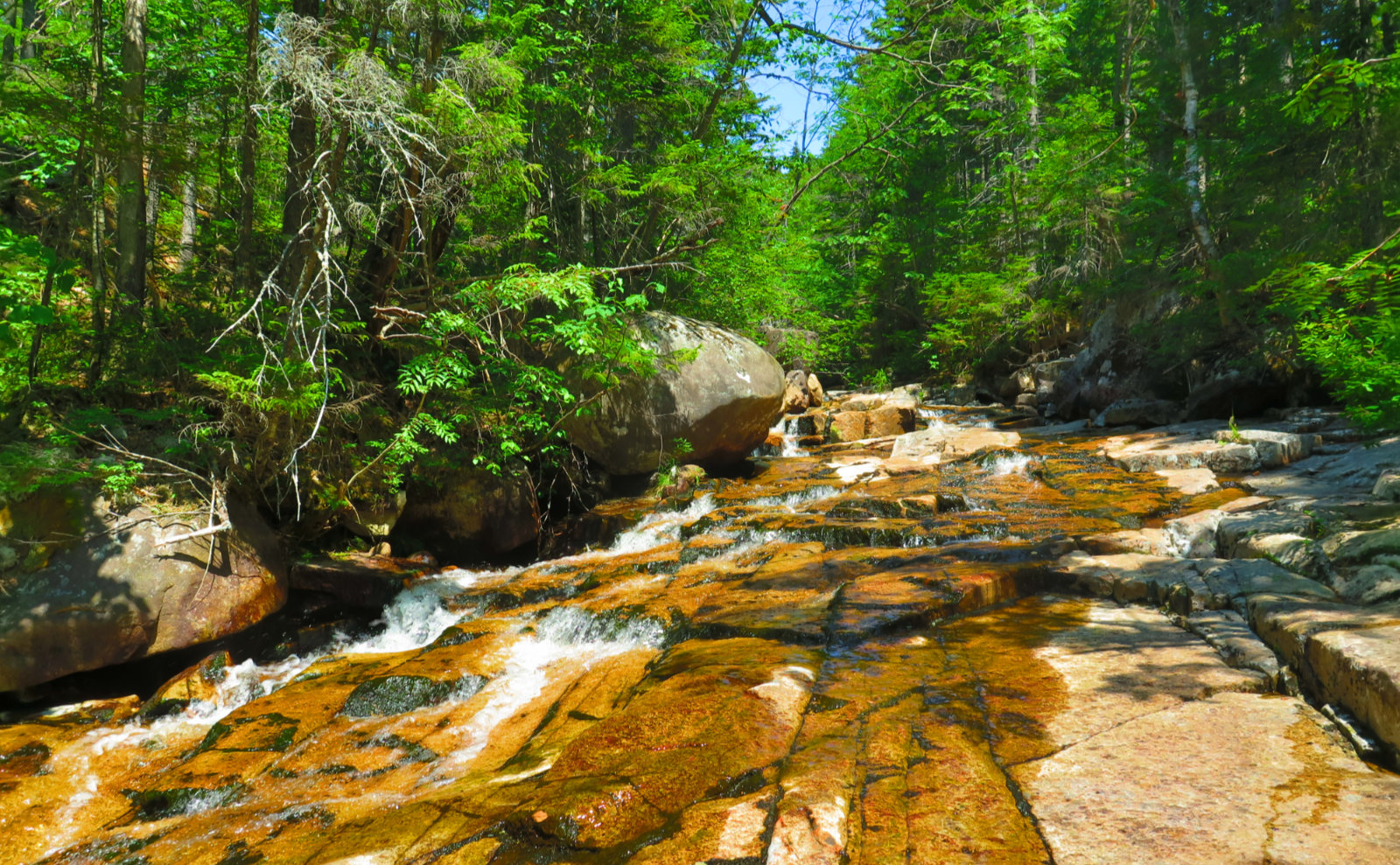
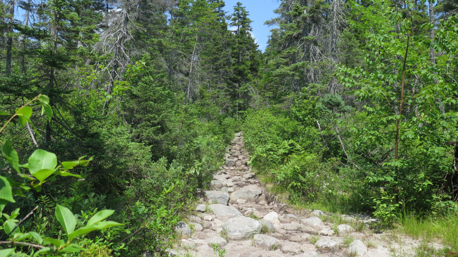
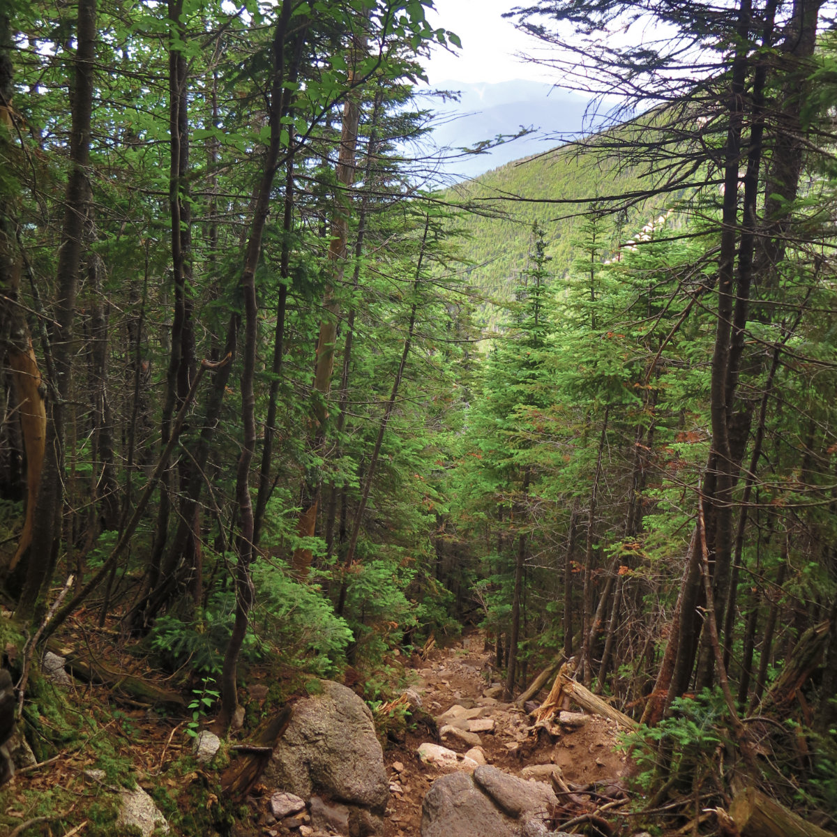
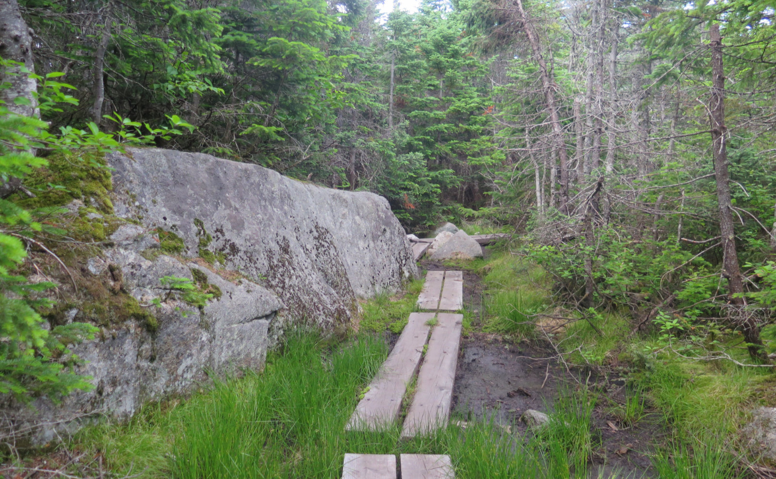
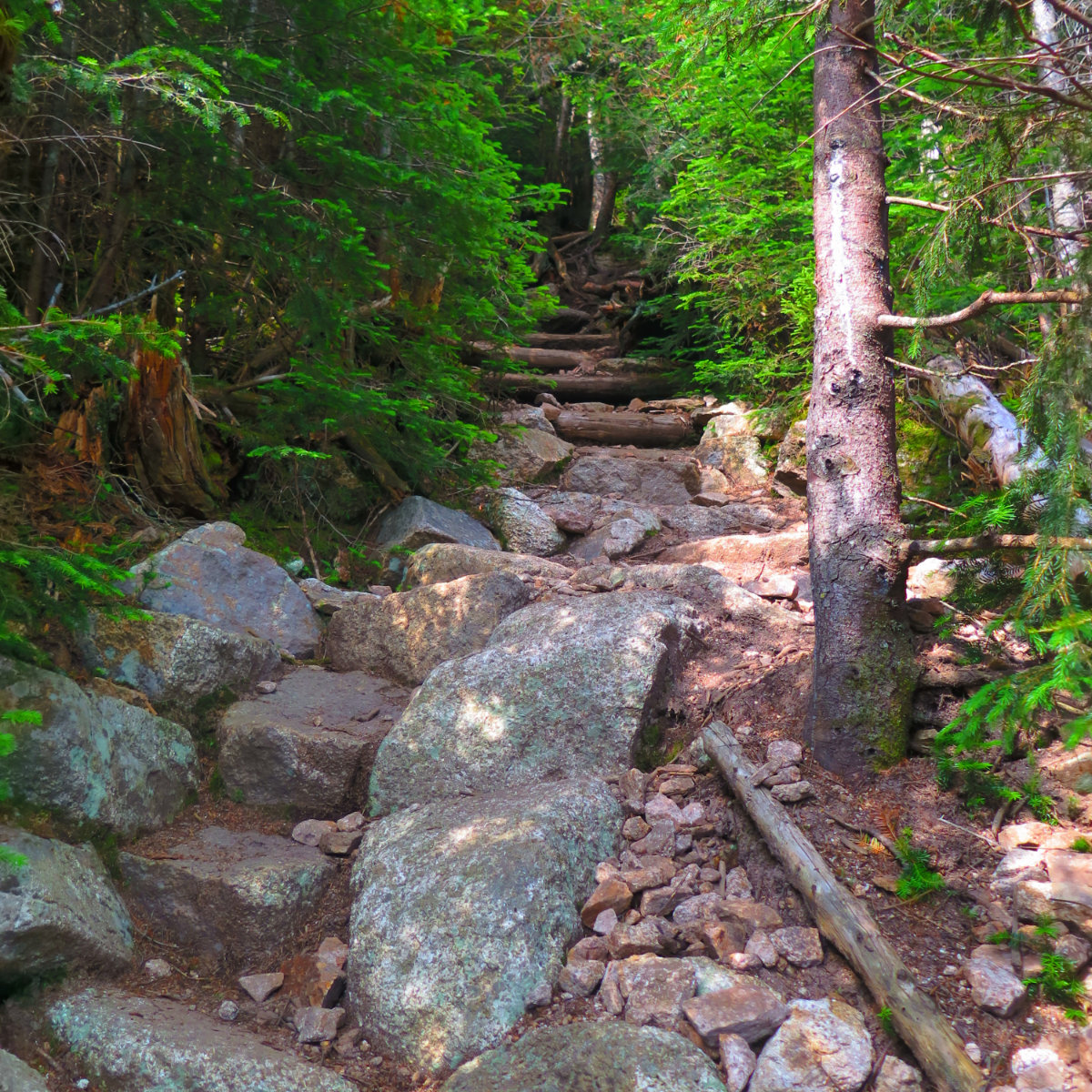
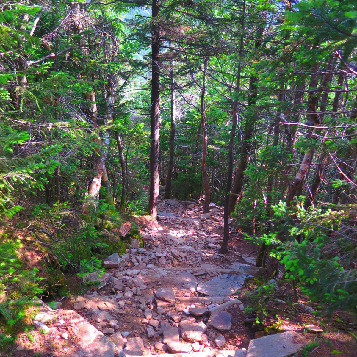
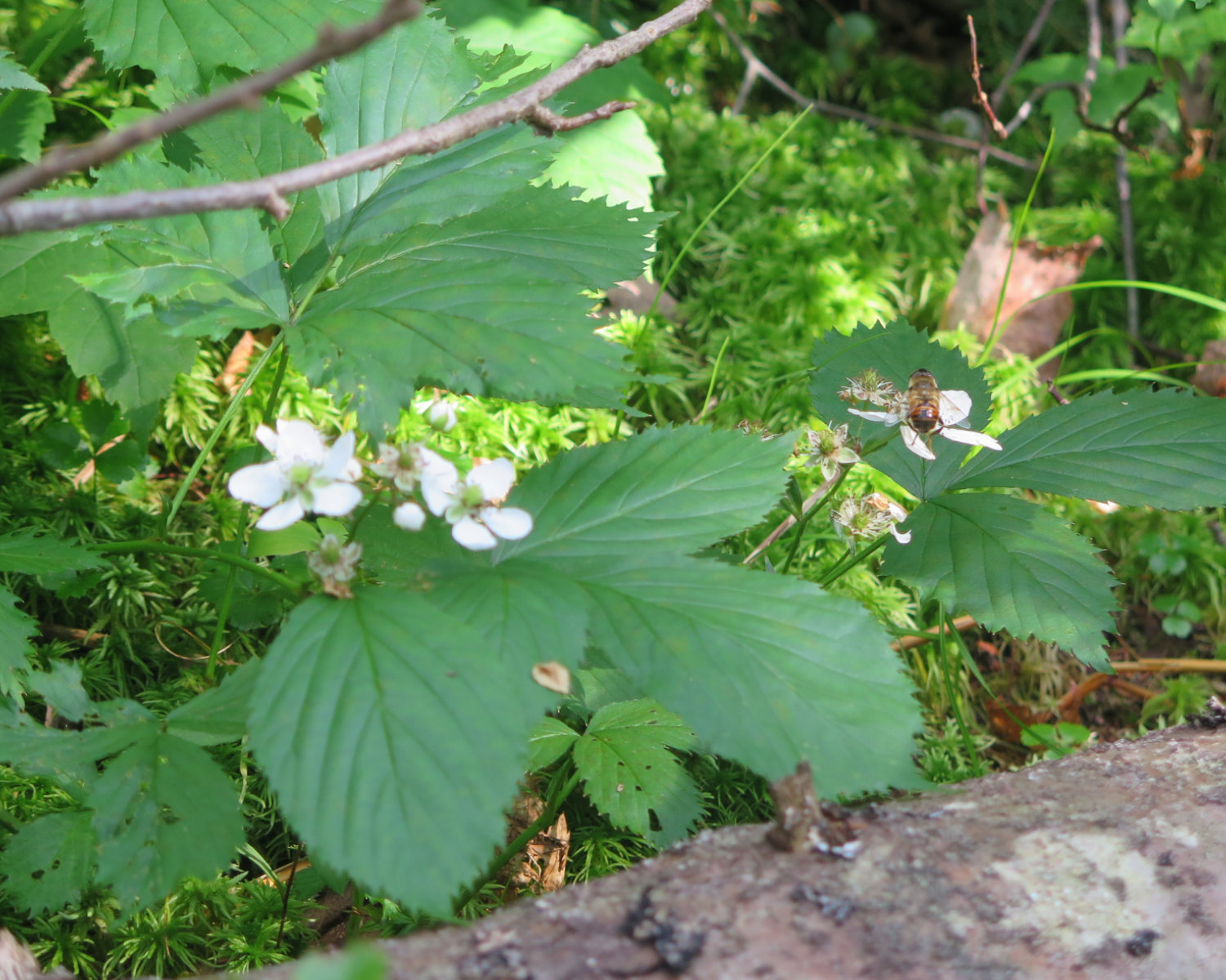
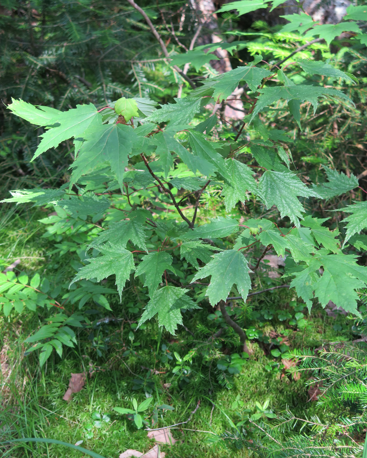
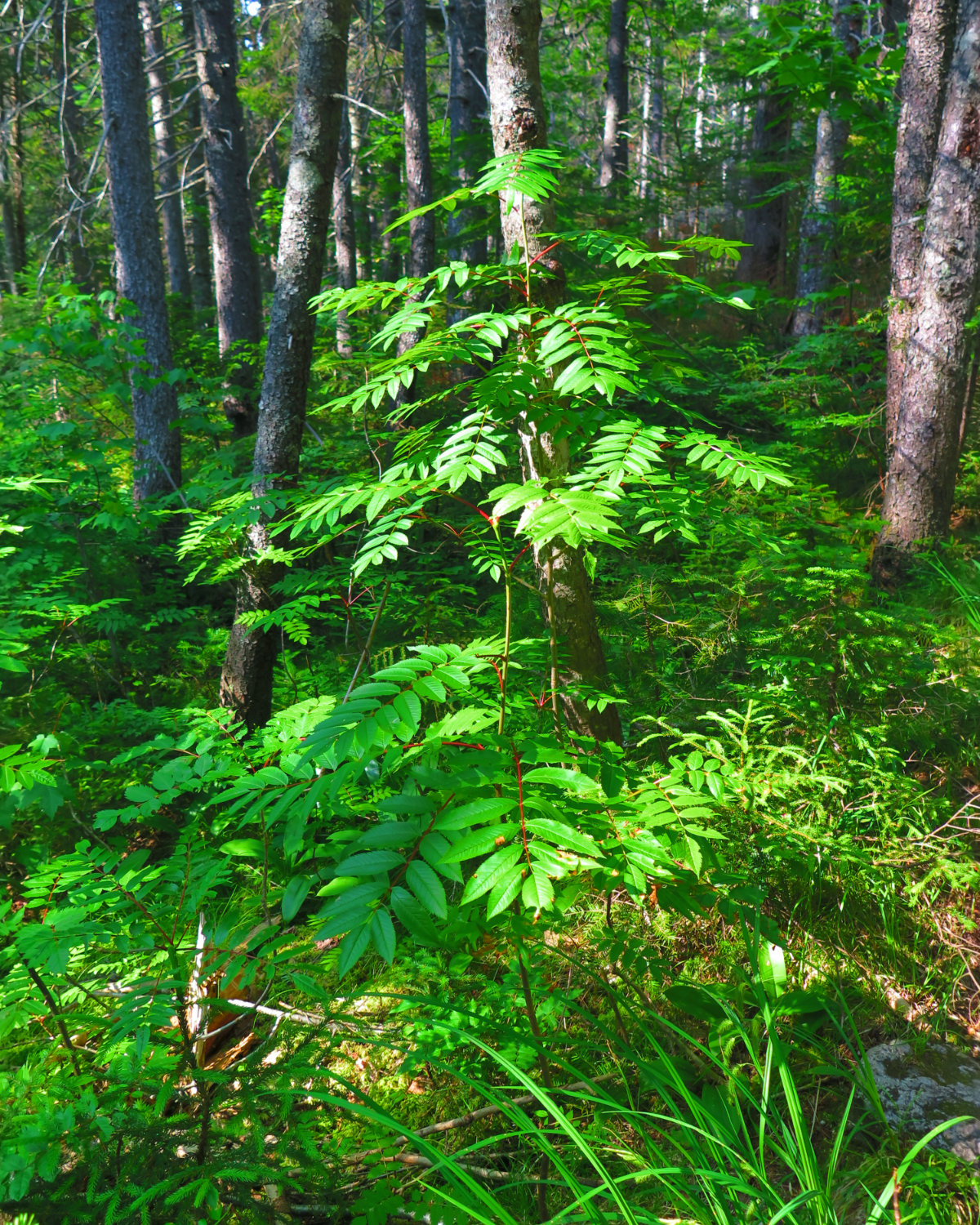
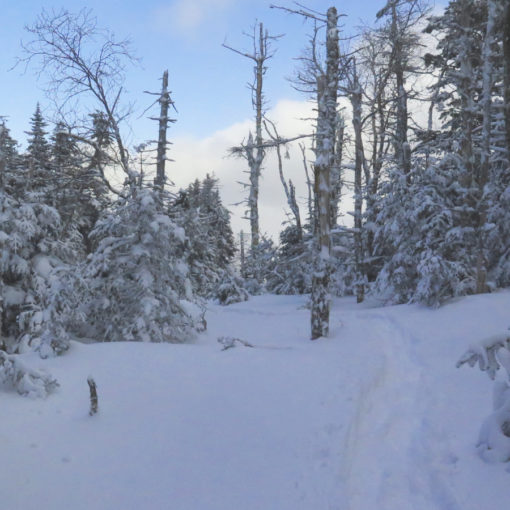
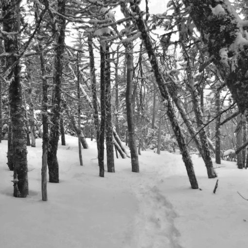
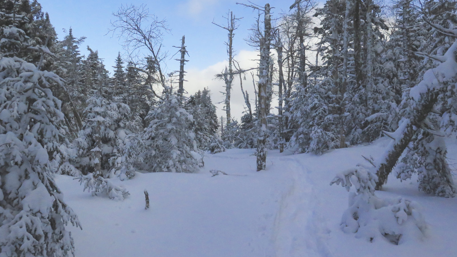
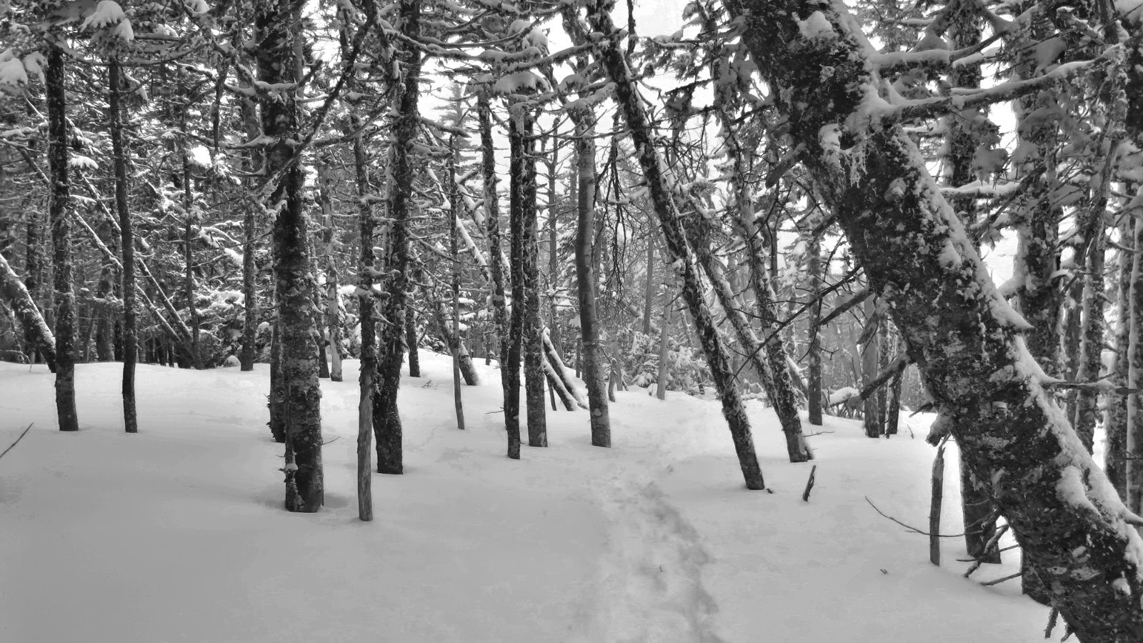
Heading up, things were smooth and steady for a short bit. But before long, the trail got rocky and rooty. No worries. There were some very pedestrian water crossings along the way, but nothing to get my feet even damp. And then, as happens, the trail kicked upward. Conventional wisdom has it that the loop is best done “widdershins” (that is to say, anti-clockwise) as the terrain works better going up South Hancock and down North. I won’t argue, beyond to say I think it’s a matter of taste. Both sides are practically identically steep. Both have traction issues. South has a fair amount of scree, whereas North has loose dirt. On both, you’ll either climb up boulders or rock-hop down. Your knees and quads will get a workout, for sure.
But the entire trip, trailhead to trailhead, is about 10 miles. A couple miles each way is the approach, and the col is about 1.5 miles. So how bad can it really be? Certainly, there are harder trails in the Whites. There are indeed easier, but this isn’t the hardest. Not by quite a lot.
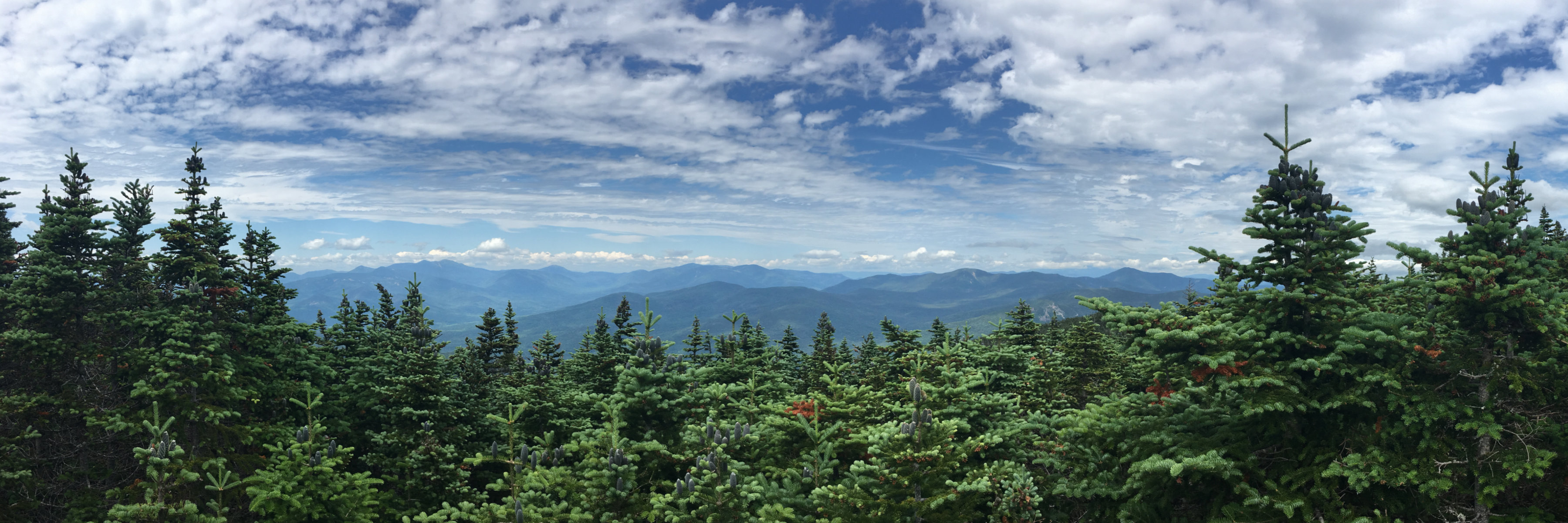
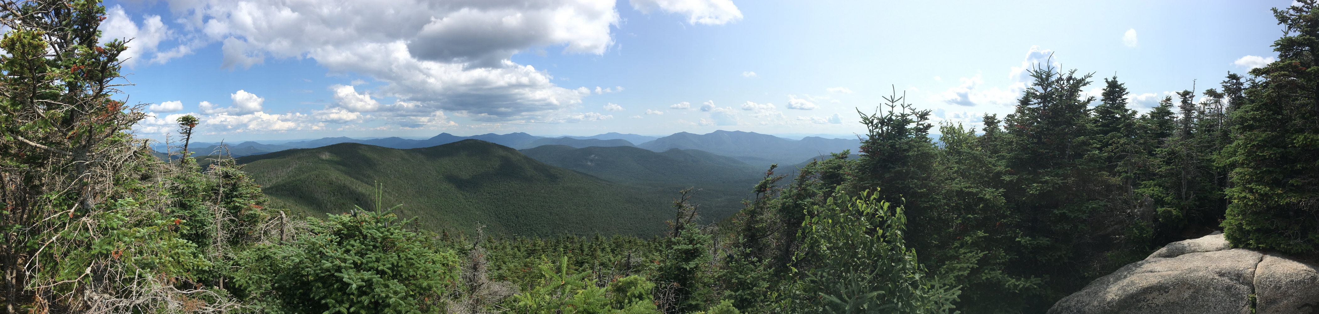
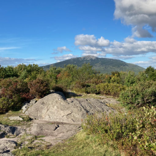
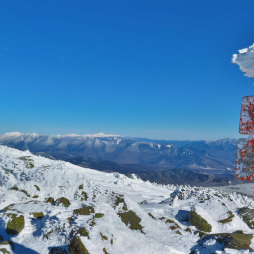
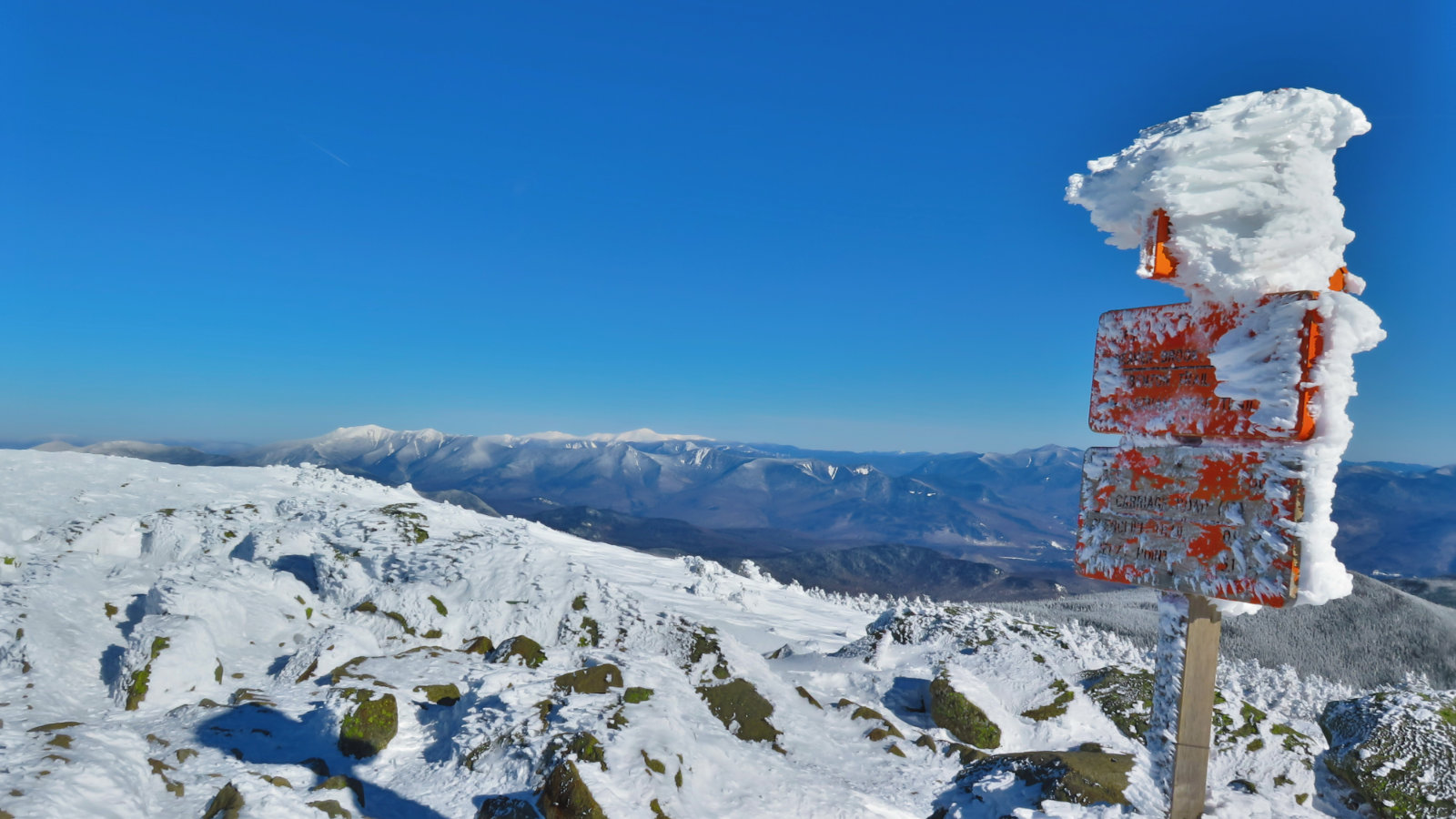
I may be wrong, but the outlooks at the summit felt a little more open this time around. With the sun, and despite the haze, I enjoyed a lovely view from both peaks. (Peek, pique, peak?) There were great views of Owl’s Head and Franconia Ridge — I’d forgotten how close those mountains are — as well as the rest of the Pemmigewasset Wilderness, and Mt Carrigan. From the other side, Sandwich Mountain and Chocorua were easily seen, as well as the Osceolas, and Passaconaway. I’m given to wonder what you’d see from any mountain in the Sandwich Range, should they install a tower on the summit. It’s a shame that so many of their summits have either no view, or a greatly attenuated one.
Coming down was straightforward. The descent from North Hancock was sketchy in a couple places due to loose dirt, but I never felt even remotely unsafe. A few brook crossings, then at once, the trail became the familiar hyper-smooth bit nearest the Kancamagus. Returning to the car, I noticed the heart-shaped tree at the outlook. Last year, the “heart” shape seemed more defined. It’s a good thing, but the tree seems to be filling out, making the “v” at the top less distinct. I still (heart) the Whites!
Nuts and Bolts: Getting to the Hancock trailhead couldn’t be easier. From I-93, take Exit 32, and turn left onto the Kancamagus Highway. Drive through Lincoln, and past Loon Mountain. About 5 miles later, you’ll come upon Lincoln Woods trailhead, and about 3-4 miles after, you’ll see signs for the hairpin turn. (Greeley Ponds trailhead is almost one mile before Hancock.) Immediately on the other side of that hairpin turn will be the entrance to the parking area, on the right. The trailhead is… interesting. On the opposite side of the parking area, near the pavilion, is a small gate. Go through that gate and down the path to the apex of that hairpin turn. The trailhead is across the street. Be very careful making the crossing, because you have no sightlines, and neither does traffic. Use your eyes and ears to your best advantage. (Returning, sightlines are much better.)
If you enjoy reading these posts, consider subscribing. Your email will only be used to alert you of new posts — typically 1-2 times per week. I will not use or share your email for any other purpose without your express permission.
One thought on “Trip Report: Mt Hancock, North and South (Summer Edition)”