Thanks for checking in, folks. Obviously from the title, this isn’t a usual trip report (though one will be coming in the next couple days, of course!) but a Public Service Announcement.
Right now, New Hampshire and most of New England is in a drought. Here in the granite state, we’re whole inches (plural!) below normal. Between three and five inches of rain needs to fall, beyond the amount of rain we’d normally get, in order to correct the situation. This isn’t something that’s happened over the past week, of course. Likely everyone knows that last winter had noticeably less snowfall, spring rains were pretty light, and this summer has had nearly no rain at all.
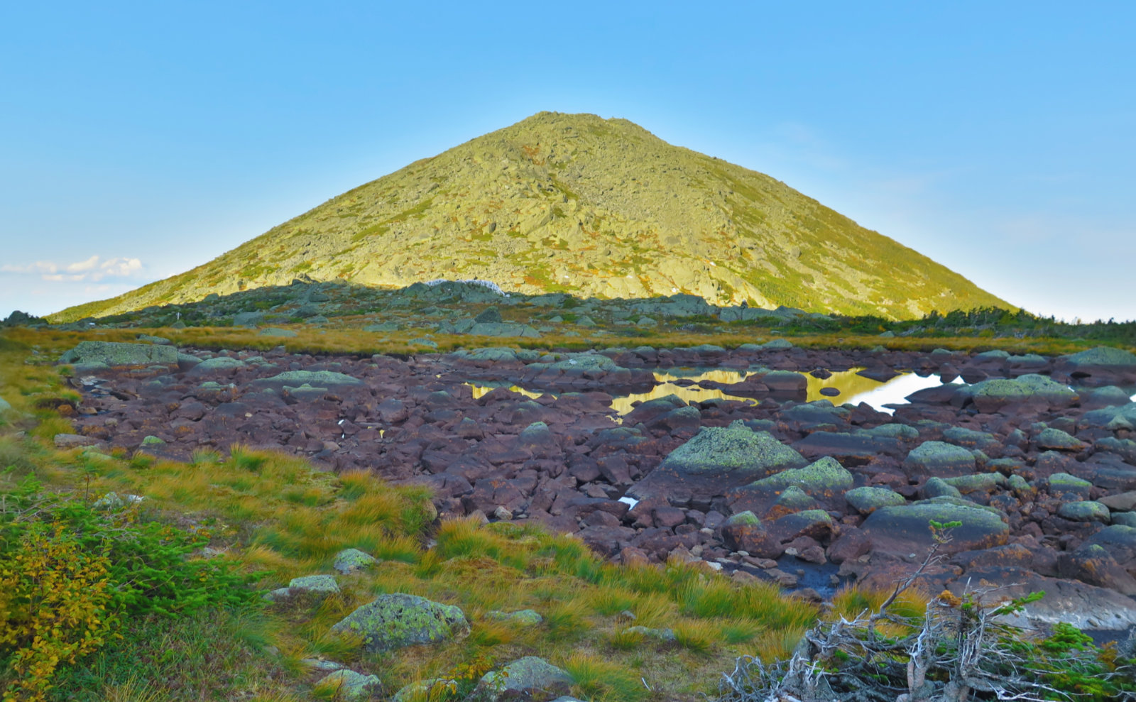
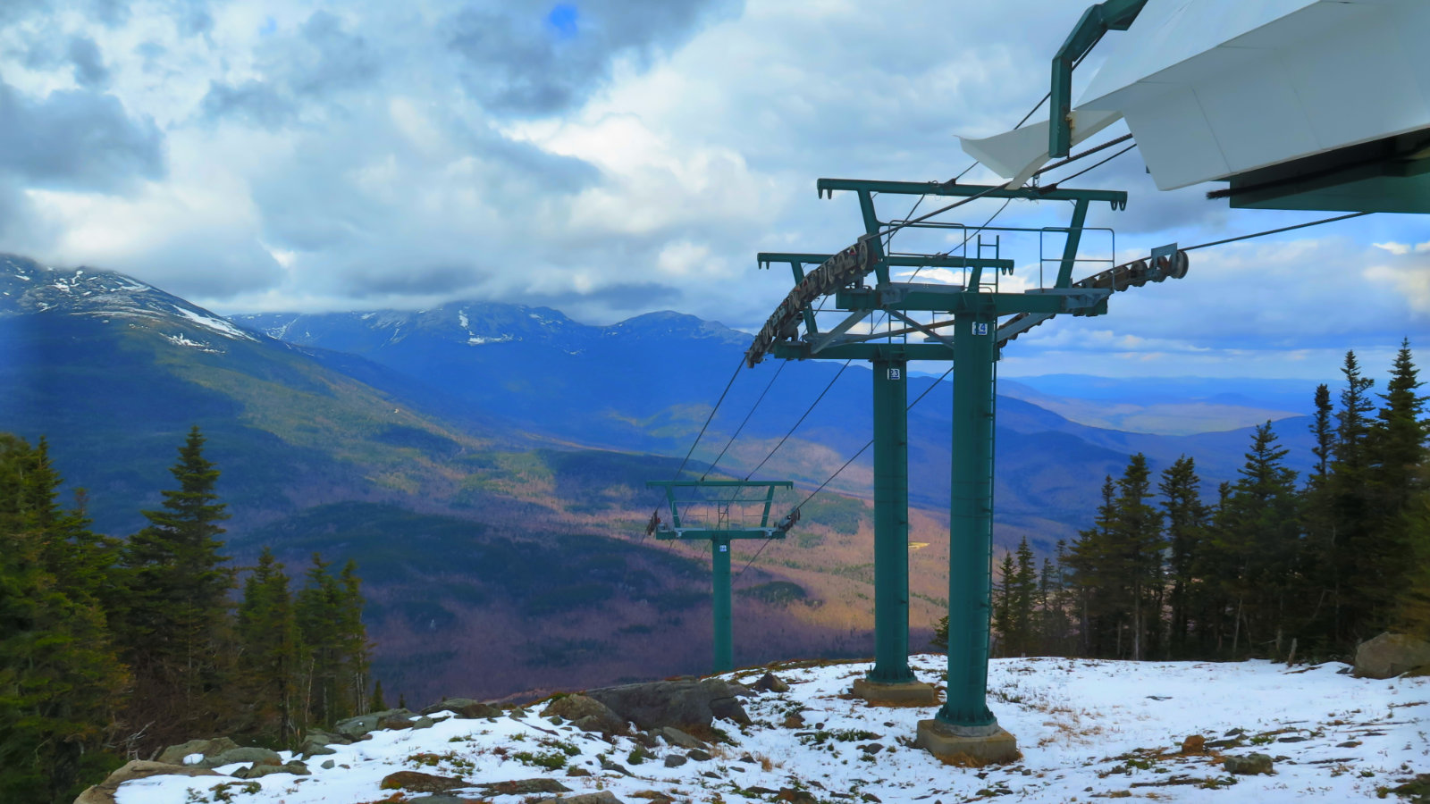
This has pretty big ramifications. If you’re one to drop a hook in the water from time to time, as many are, you’ve likely noticed your favorite fishing hole is feeling the pain. Anyone who saw my photo of Star Lake from last week’s trip up Mt Adams saw it’s not a lake, but a puddle right now. (It’s also the image for this post.) That the bridge on Thoreau Falls trail has been gone for some time now is almost of little consequence, because the Pemmigewasset River is down to a near-trickle. (I still don’t recommend crossing on foot!) But also, the risk of fire is pretty big at the moment.
Many towns have a sign out in front of the firehouse, town hall, or what-have-you, indicating the local forest fire danger. I make a habit of having a quick glance if I pass one. But for the tech savvy, obviously we’re in the 21st century, and so you can use the internets, instead of having to hope you won’t be zoned out while you drive past the local firehouse on the way to the trailhead. Here’s the NH Forest Rangers’ Twitter feed:
9/14 – Today will be a predicted Class 3 (HIGH) fire danger day. Lower humidity combined with gusty northwest winds and dry fuels, means an ELEVATED
— NHForestRangers (@NHForestRangers) September 14, 2020
FIRE RISK exists today. #NH #NewHampshire #forestranger @nhdfl @NHDNCR @nhstateforester #wildfire #FireDanger pic.twitter.com/Z6mH6lIpZO
Info goes out beyond New Hampshire, obviously. Here’s a map of New Hampshire from www.drought.gov. You can zoom out and see nearby states, too. A nice way to visualize the drought levels wherever you go, especially if you’re planning a long distance hike. The New Hampshire Division of Forests and Lands has info here.
And so why did I choose to write about this today? Somewhere along the line, I found a web app that overlaid an outline of various current western-US fires over a map of several cities. To use as a comparison, the August Complex fire in California, were it to be overlaid over the Boston area, would have scorched an area that entirely encompasses the Route 128 corridor, from Chelmsford, down to Brockton, over to about Danvers. That includes all of Boston, Newton, Woburn, Lynn, out over the Harbor Islands… you get the point. Basically, about 1 1/2 million residents would be burned out of house and home. Providence? That fire would wipe out around 85% of the entire state of Rhode Island. All of Indianapolis, which is basically Marion County, Indiana, would be turned to ash, and several neighboring communities would be nailed, too. Indeed, any of the current “big name” wildfires would level New York and its boroughs. Or stretch from Dallas to Fort Worth.
(The app only has certain cities in its list, but you can manually drag the outline of a fire over the Whites. I did so for the August Complex fire, and it goes from 93, east to 302, up to about Littleton, and down to Plymouth.)
To put it another way, all the wildlife… all the trees, wildflowers, birds, deer, bears… all the chipmunks and squirrels that go nattering about, would be burned out of their houses and homes. Worse, those trees and other plants are the animals’ pantry. They can’t just go to the supermarket and stock-up. (Can you imagine the overhead page? “Someone to aisle five to assist a bear…” and do you really want to get into an argument with a moose over the past package of Charmin?) If we got as unlucky as California, we’d see devastation to our beloved stomping grounds on par with the logging and subsequent fires that spurred the creation of the Weeks act. As if the logging railroads and their worst practices were running rampant again. I overlaid several different fires outlines on top of the Whites, and every one would have denuded at least 6-8 four thousand footers, as well as a few neighboring peaks. It’s one thing to wish for a view from the top of Owl’s Head or Zealand or Hale, but that’s not the way to go about it. Dilley Trail, on Mt Wolf, was basically burned off the map a few years ago.
I don’t think the Whites are so explosively dry, as things are in California, that a fire would get so wildly out of control over here. On the other hand, we rarely experience what we’d think of as a large brush fire, let alone a west coast-style wildfire. I know a lot of firefighters, and they’re very good at “putting the wet stuff on the red stuff”, but as intrinsically motivated to fight fire as they are, their hoses are only so long. Attacking a fire in the deepest depths of the wilderness is a tough job on the best of days, in the best of circumstances.
Please, when you go outside, remember Leave No Trace, and that it includes not only tidying up after yourself (and hopefully leaving the trail in better shape than you found it) but also that it includes being mindful when you cook. If you’re camping and want a little “hiker TV”, keep your fires within established fire rings. If you’re in the backcountry, reconsider the need for a campfire. Make sure when you’re done, the fire isn’t just “out”, but “cold-out”. Drown your embers, and make sure the ground feels good and cold before you leave.
And as this topic has special relevance right now, consider telling your friends via your social media. (Feel free to share a link to this post.) Spread the word.
As always, stay safe out there.

4 thoughts on “PSA: Droughts and Fire Safety”
THANKS!!!!!!!!!!!!!!!!!!!!!!!!!!!!!! This is SO important! People take nature for granted. While it may be nice to have a dry spell for your redlining of difficult to cross places, this is downright SCARY! Especially when a wide cross-section of humanity is still oblivious to human impact on weather,etc.
I’m not good getting fires going (despite living in the Great City of Lawrence for 35 years) and I just got a tiny alcohol stove insert for our solo. So we are pretty much keeping things contained.
My son just got a job (state agronomist) in Portland (yes, THAT Portland). A week or two ago he could see Mt. Hood from work, now he’s lucky if he can see anything with all that smoke.
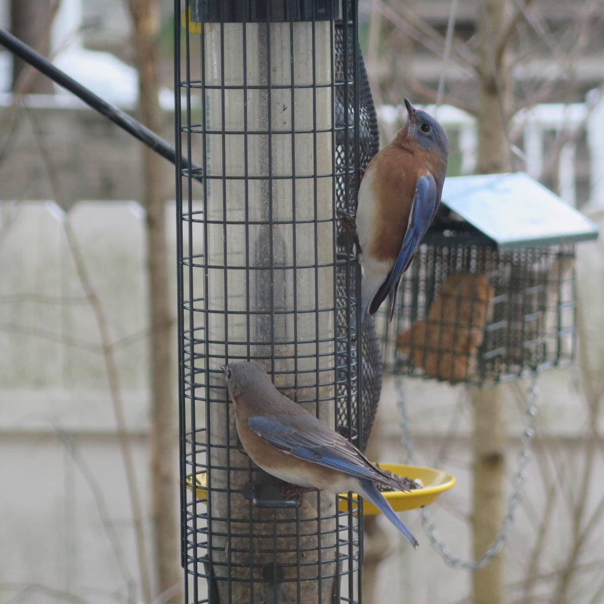
One thing that’s striking is that I fill my birdbath reasonably often, and there’s no shortage of visitors. I like to think of my backyard as an oasis of calm, but surely, there are other avian oases, right? …Right?
Thank you! This is so so important to discuss right now.
So important, and yet, we all wish it weren’t…