
Mt Madison (5,366 feet). Randolph, NH. 2022-09-25 (Sunday.)
Notionally, via Valley Way and Osgood Trails. In actuality, I popped off Valley Way numerous times to nail down small stuff for my redlining. 8.6 miles round-trip for the straight-forward route.
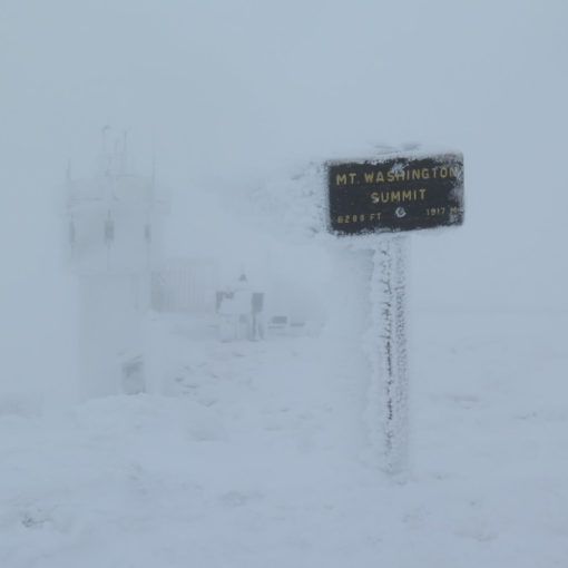
55 dF at the trailhead, 40 dF at the summit. Winds were negligible in the trees. MW-OBS called for west winds shifting south, at 15-30 by midday, heading toward 25-40 later on, and I have no reason to believe this wasn’t the case. They felt mostly in the 20-30 range; not particularly blustery, but certainly a bit spirited yet quite tolerable. On a warm, sunny day, these winds would have kept things pleasantly cool while having a nosh and enjoying the view at the summit. Clouds with some sun starting out, becoming all clouds by the time I got to Upper Bruin, with light rain in the mid-late afternoon (I was heading down from the summit at this point) that became an outright downpour once the sun went down.
Trailhead: 1000. Summit: 1400. Car: 1800.
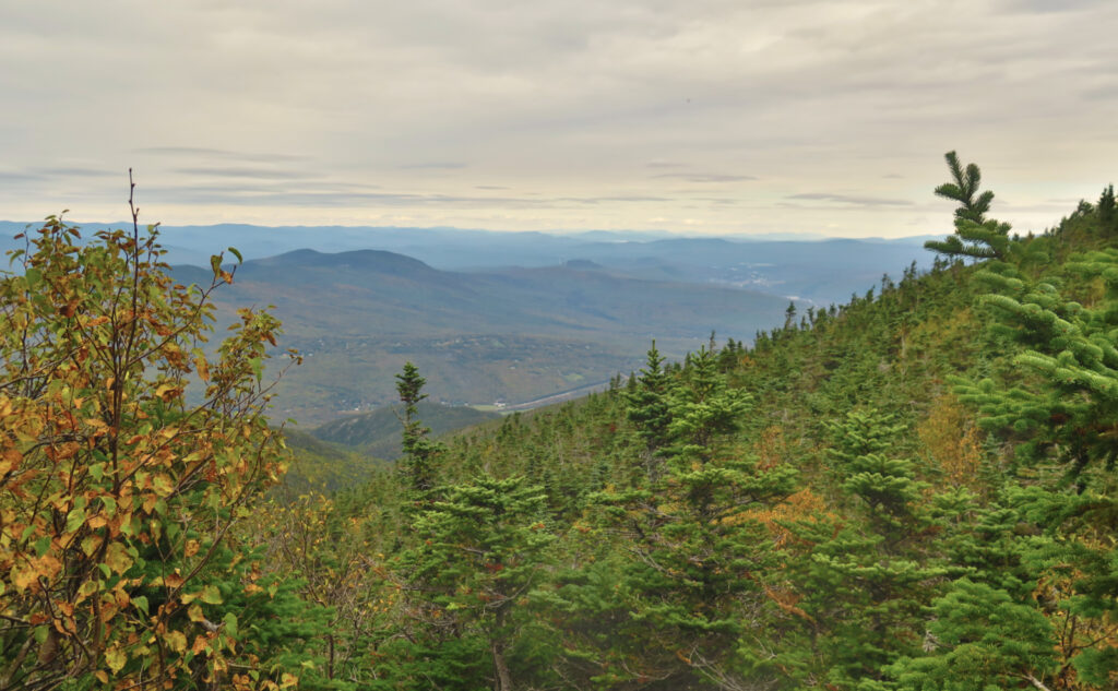
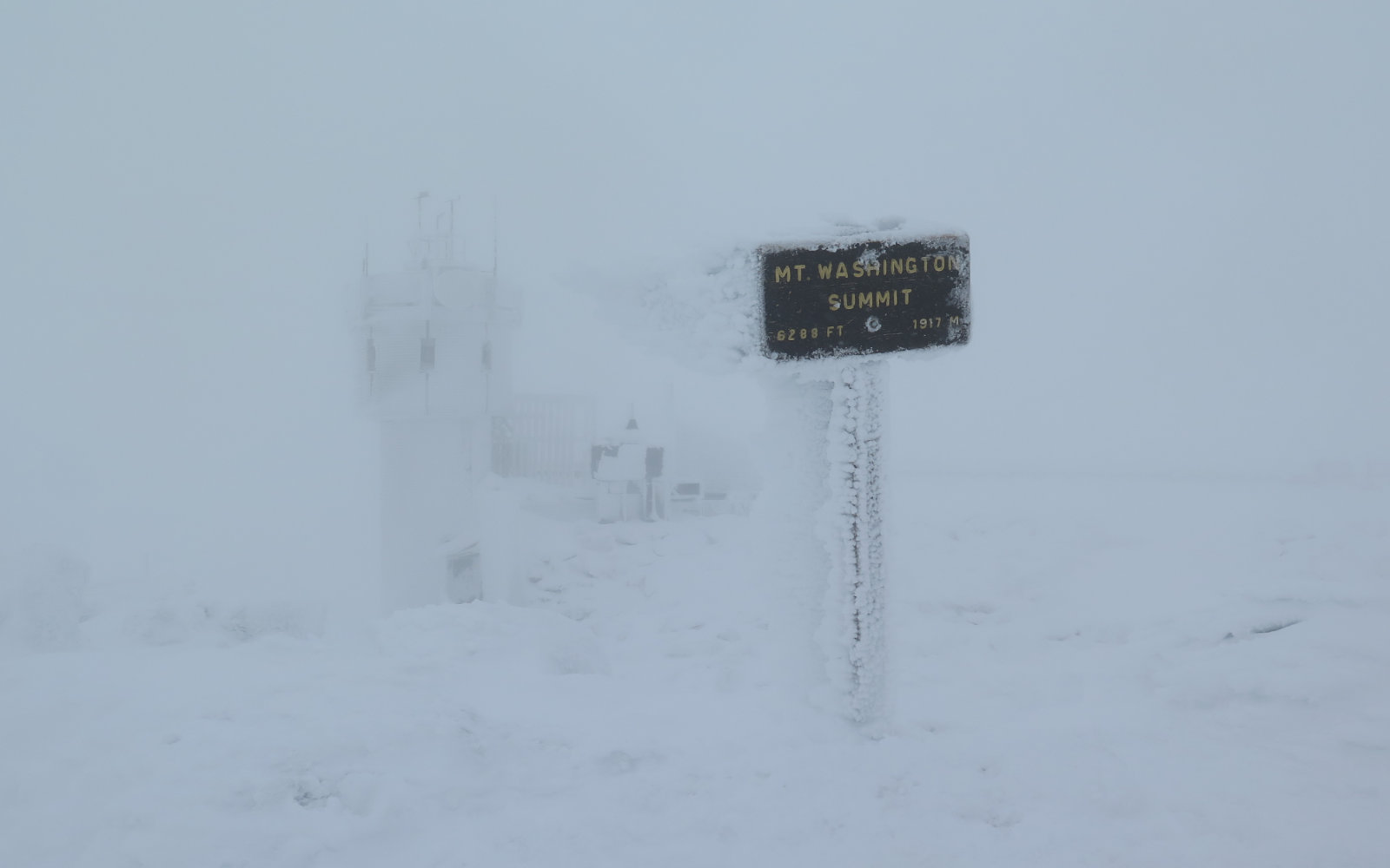
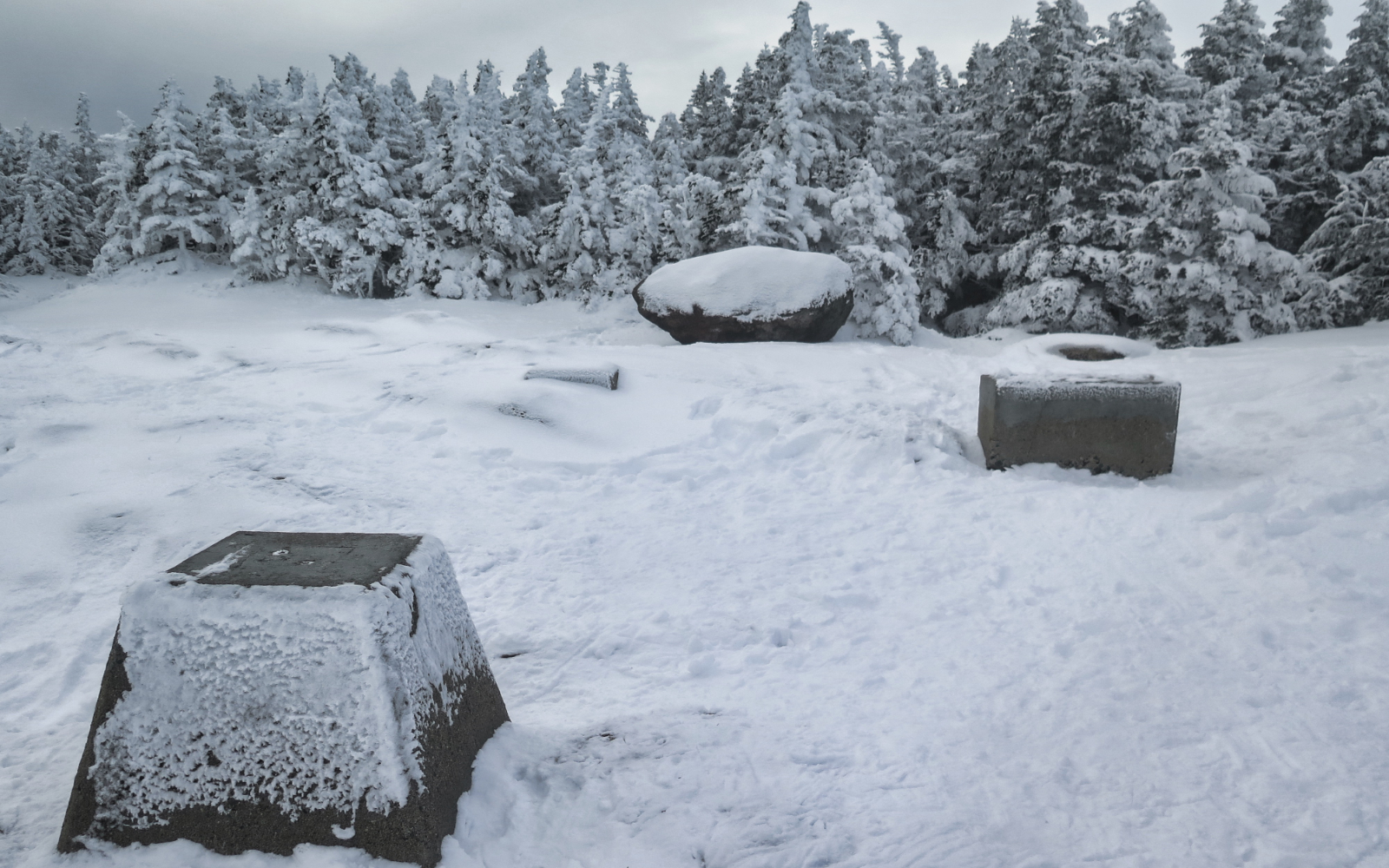
Seasons are changing on Madison!
This wasn’t a stellar day to be outside. The day was warm-ish for sure, but on the summit, the wind was brisk, the clouds were lowering… in short, the weather left a lot to be desired. But it was still a nice day to be outside.
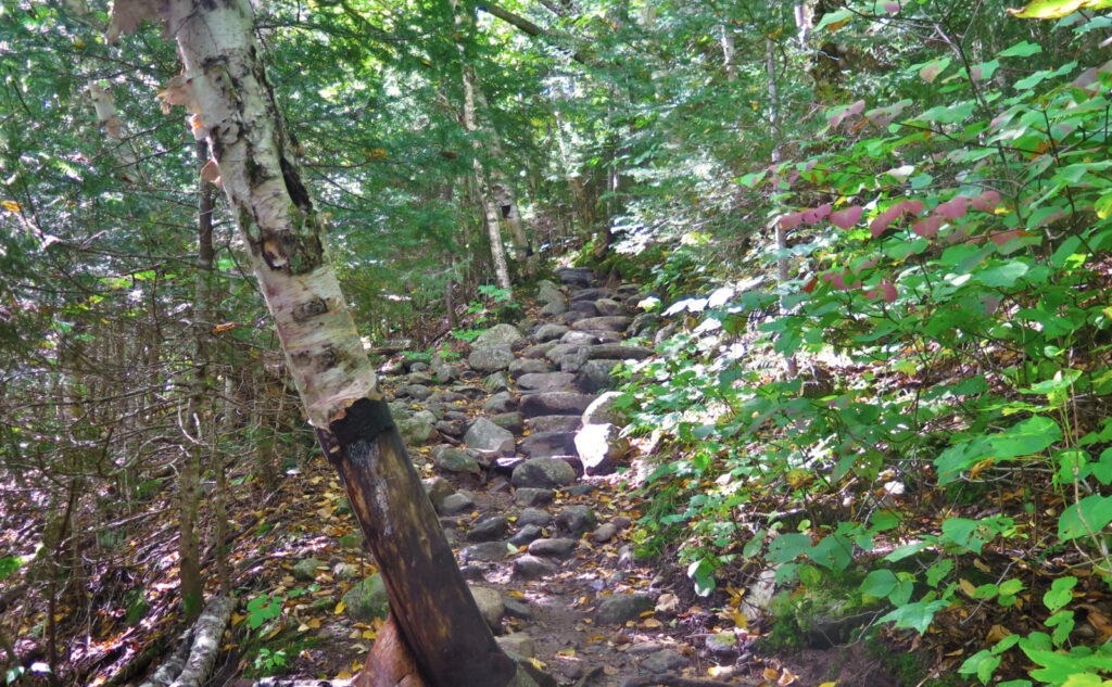
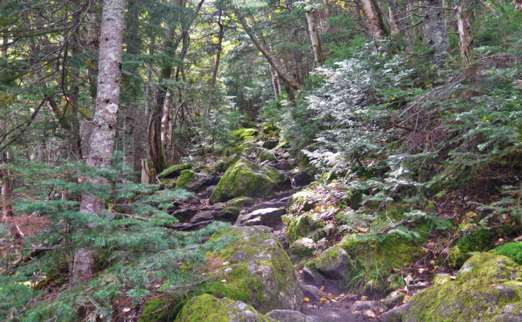
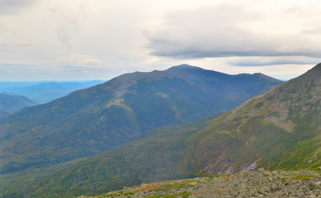
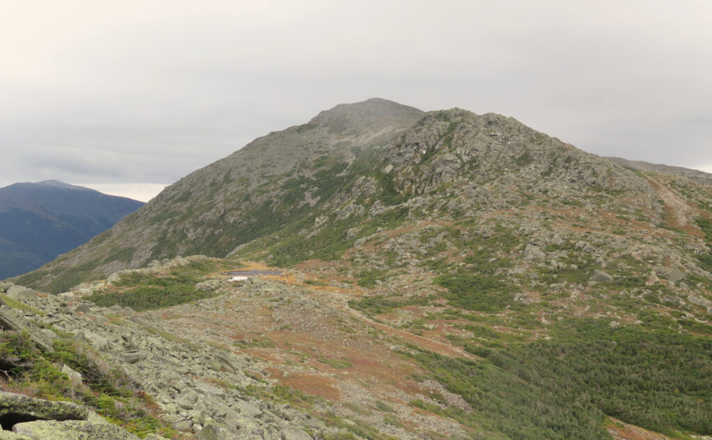
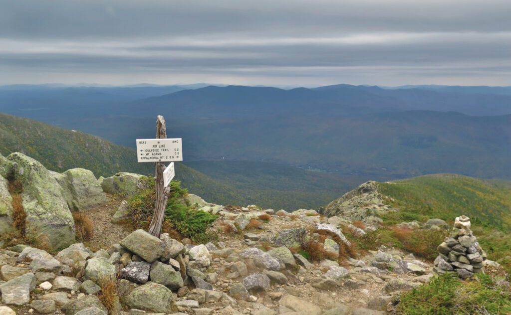
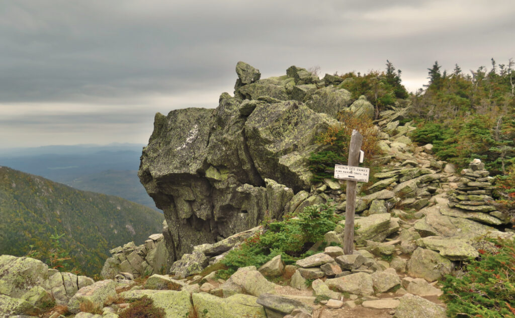
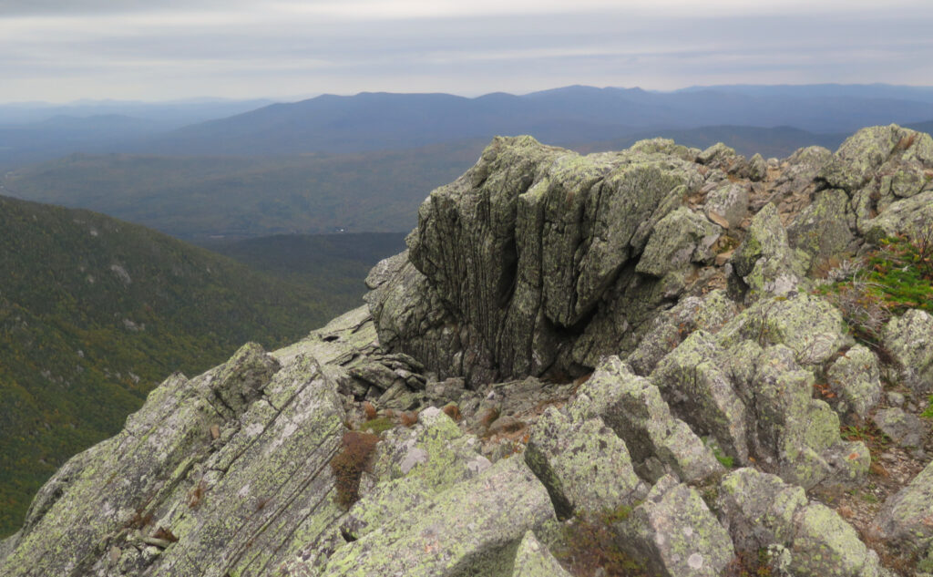
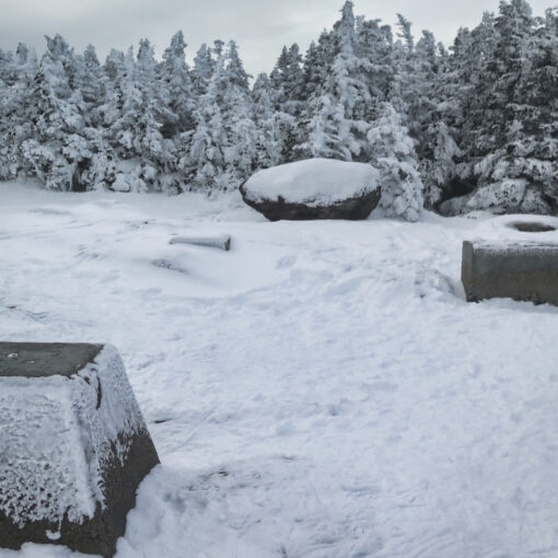
The trails were in fine shape, and hey, there’s those waterfalls that are ever-present around Valley Way. Great views into King Ravine from the top of Airline. Washington was sans hat today, and while it was a bit hazy looking across the Great Gulf, there were still some views to be had. And the horizon ran well into Maine and Vermont, so there was that, too. Just not a lot of blue sky, and nothing really pro or con with the day. I’ve had outings on this mountain that featured stronger opinions than this.
Unease? Or just undefined?
Sometimes, I’m reflecting during the first hours after a hike, and there’s nothing to make me wildly enthused about the outing. I can’t say there was anything wrong with the day, and indeed, while I’m fine hiking in driving rain, today, that didn’t happen until I was back in my car, well on my way home, driving in the driving rain. It wasn’t a “I’m just booking mileage” hike by any stretch, but I’m left wondering what it was. Maybe it was the lack of flowers and blueberries alongside the trail? (Are we really at that point in the season already?!)
And yet… times like these, I know that I need to just wait. Let things percolate. Sometimes I just need time to ruminate. Yep. “Nothing wrong with the day” doesn’t mean there was anything right or wrong, just that I can’t figure out what it was that was right this very second.
Time to step back and take stock.
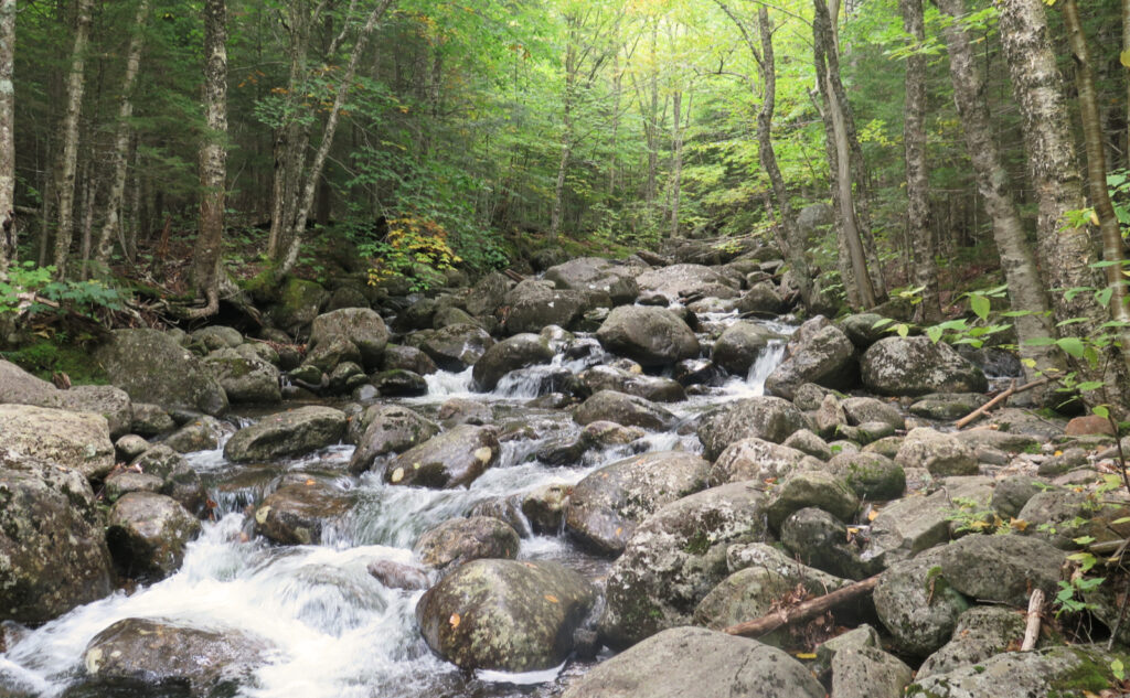
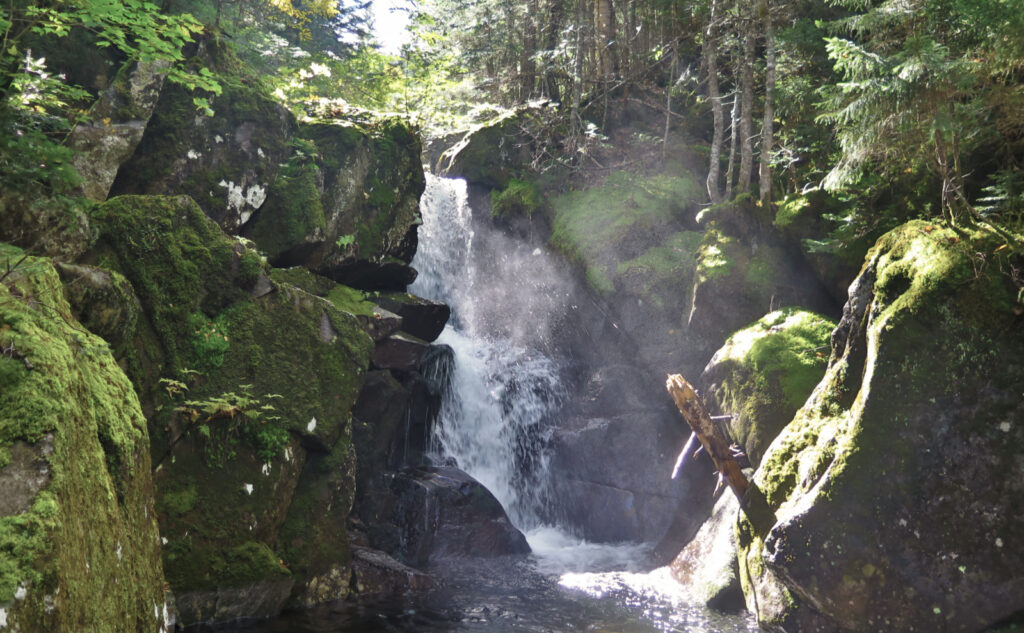
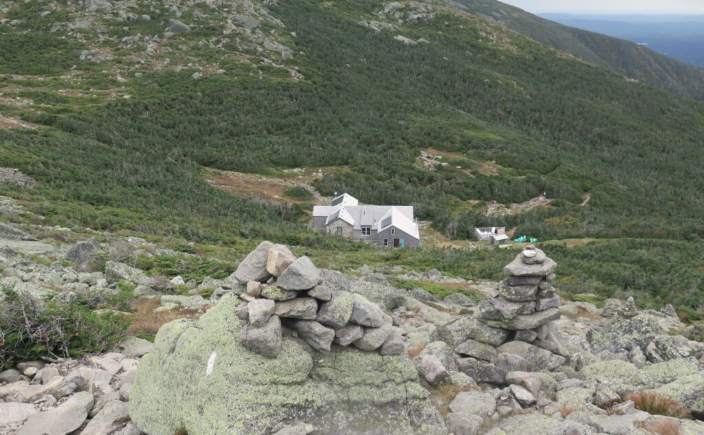
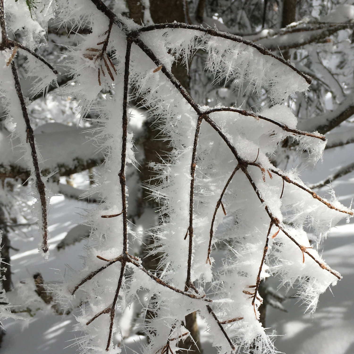
Things I know happened included some forest bathing. Valley Way is pretty moist at the moment: Snyder Brook is hoppin’ right now, and Duck Fall in particular looks magnificent. For all that, the water crossings, while a tad interesting, didn’t yield wet feet. Hooray! (Once I’m done with the Grid and redlining, I’d seriously come and do about half the distance up the mountain, at this time of year, just to spend more time gazing at the waterfalls on a day like this. Let me say it again: Mag-nifi-cent.) And the Croo is closing things down at the hut. I got to see something not everyone hangs around to see, and had answers to questions like “how many times do you call in a helicopter?” By the way, last full day open will be Tuesday, and they’re hiking out on Wednesday afternoon. They made no bones about the fact that there will be no waiting around for the sun to set on that day.
Besides that, the day featured a little mileage and several trails that were knocked off of my redlining list. Anyone who’s even looked in a casual sense at the map knows that redlining the northern presidential range means chasing after seemingly endless short sections of trail that you missed the last time around. Can’t we just say that if you did the heavy hitters that run up and down those mountains, you’re good?
However, lest I forget, I stood on the summit of Madison. I gazed into King Ravine, and to a lesser extent, into the Great Gulf. (Let’s face it, the awesome view is looking down from Mt Clay.) It was a day that didn’t feature clear skies, but nonetheless, had decent views of the peaks in the area. The more I hike the northern Presidentials, the more I know there’s a lot to love about these mountains. There are big things, there are little things, and there are tiny details. So while I’m not sure what today was all about, at the same time, deep down, I know there’s something good. There always is.
As always, stay safe out there.
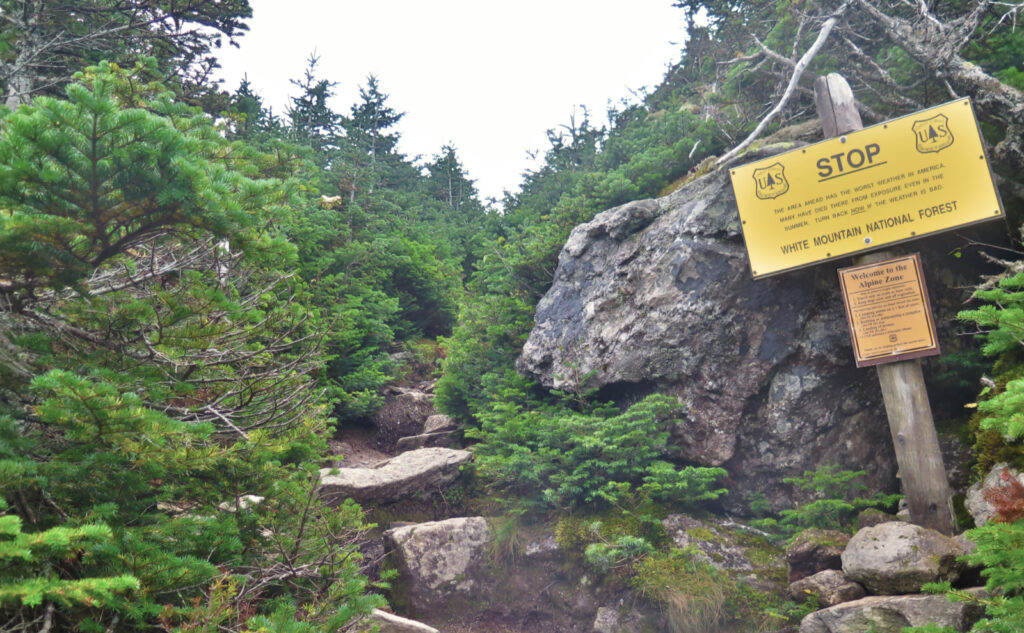
Nuts and Bolts: Appalachia Trailhead is on Route 2 in Randolph. Take 93, then go to Twin Mountain, scoot across the 4-way intersection at the now-demolished Foster’s and zip past Ya-Ya’s just beyond. Go across to Route 2 via Route 115 (The Owl’s Head Highway) and drive for about 3-4 miles, until you see a huge-honkin’ load of cars parked at a trailhead. On the weekends in fair weather, some will be parked along the roadside. That’s Appalachia.
Trailhead will be obvious, but on the west side of the parking area, not the middle. Blazes are blue for Valley Way and white for Osgood Trail (also the AT.)
If this hike (or those nearby) really strikes your fancy, consider tossing a shekel or maybe twenty to the RMC — the Randolph Mountain Club, who are the trail maintainers for this area. They’re small, they’re plucky, and they don’t have the fundraising machine that the AMC has. But best of all, they have Grey Knob Cabin, Crag Camp, and all the other extremely cool spots on this side of the Presidential Range.
One of the coolest things the RMC does is publish a map of their area. I have literally dozens of maps of the Whites, but only one denotes the differences in forest (conifers v deciduous.) Seriously, of all the clubs I’m a member of, my RMC membership is one I particularly cherish.
If you enjoy reading these posts, please subscribe — stay in the loop! Your email will only be used to alert you of new posts — typically 1-2 times per week. I will not use or share your email for any other purpose without your express permission. And feel free to share via social media using the buttons below.
Find me in the mountains, on this blog, or on Twitter: @Protean_Hiker
Help support this blog! Visit www.photos.proteanwanderer.com to buy some of my signature images.

7 thoughts on “Trip Report: Mopping up on Madison”
Fosters is gone?!!
Well technically, it’s still there; it’s just transformed into a big hole in the ground that’s suitable for use as a landmark when giving directions. “Turn when you get to Foster’s… except you won’t see it because they knocked it down five years ago…”
The owner felt the rustic charm of a decrepit old building with creaky floors and not a plumb or square anything in the whole joint was off-putting to tourists, and wanted something a bit more modern looking. I kinda liked the old building, but there it is.
Earlier this summer, I met the folks who owned before the present guy. The way the lady explained it, it would have been off the charts cost prohibitive to save it. Personally I think the owner wasn’t exactly right about tourists and modern buildings. A lot of people love these old rambling hulks. I loved the uneven wooden floors. everything about it. Best of luck to the owner with the new plans,
I know early on, the building was more than a bit off-putting to me, and drove past it countless times. At one point, I stopped in, and that’s when it got its hooks into me. But with its general appearance of being in disrepair… I can see how other places with even just a more recent coat of paint would draw business away. There is a comment on VFFT about putting in yet another Dunkin’ Donuts, and we all know full well that’s the minimum opening bid for many visitors from south of NH to consider a town worthy of their dollars. I too will miss the creaky floorboards and the dusty curtains in the windows. It was every bit as attractive to me, and as much as anything else, because it wasn’t yet another magnet for mindless tourists.
What a lovely photo of the waterfall. The light and the mist bring it to life. Wow indeed! I haven’t wandered that way myself yet, have climbed Madison a few times, but clealy need to spend more time wandering off the beaten path next time. So many places, not enough free time!
Thanks! Sometimes the photos take themselves. 😀
I’ll obviously wholeheartedly encourage you to spend more time in the mountains. It’s good for your health!
Here’s a link to that photo, since you like it so much.
https://www.smugmug.com/app/organize/New-Hampshire/White-Mountains
Happy hiking!
Thank you!!