Pemigewasset Loop. 2019-10-02 to 2019-10-04.
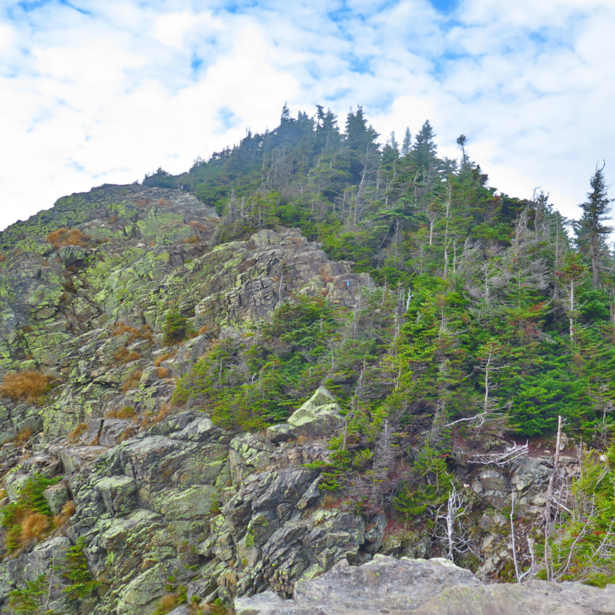
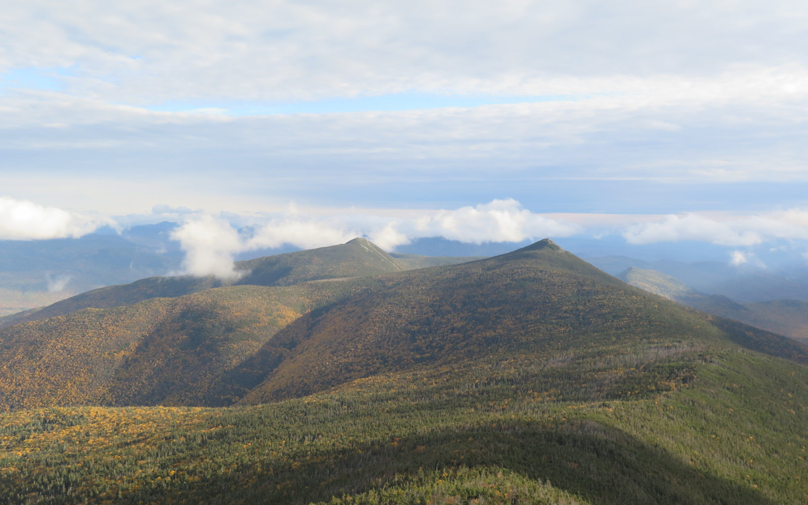
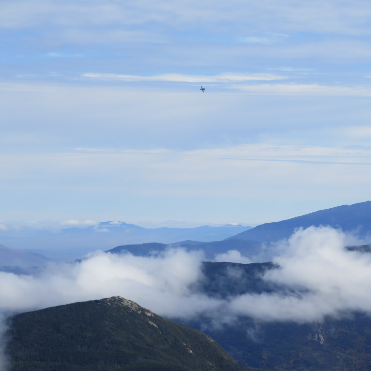
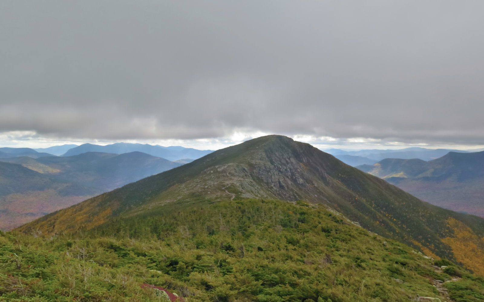
Mt Flume, Mt Liberty, Mt Lincoln, Mt Lafayette. 10.5 miles, plus 1 mile to Greenleaf Hut.
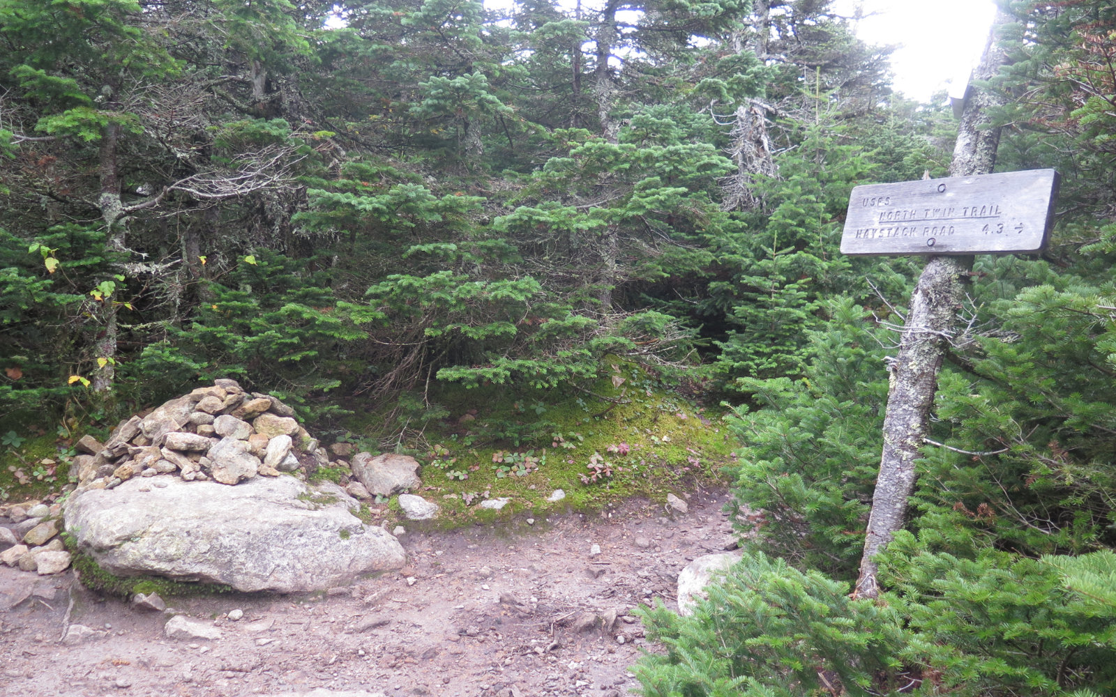
Mt Garfield, South Twin Mountain, North Twin Mountain. 10.8 Miles, plus 1 mile from Greenleaf Hut to Lafayette Summit.
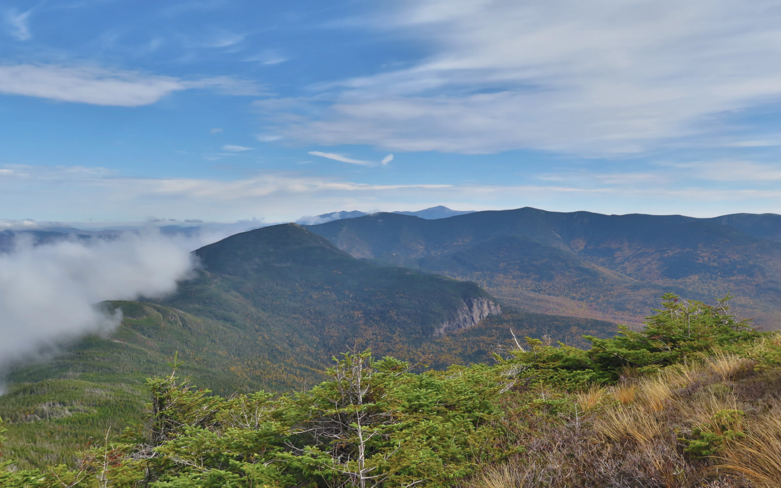
Galehead Mountain, West Bond, Mt Bond, Bondcliff. 14.3 miles, including 0.8 mile round trip to Galehead summit.
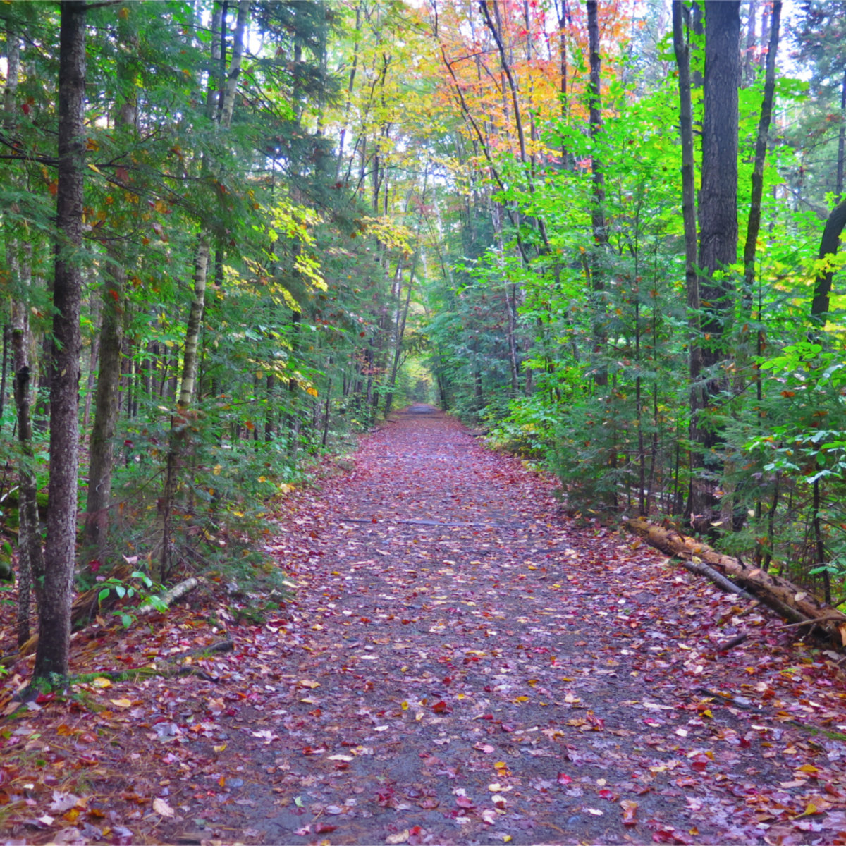
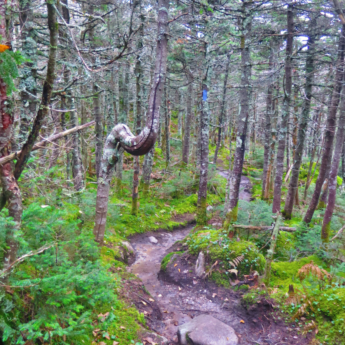
Lincoln Woods Trail, Osseo Trail, Franconia Ridge Trail, Garfield Ridge Trail, Frost Trail, Twinway, North Twin Spur, Bondcliff Trail, West Bond Spur.
Approximately 35.6 miles, not including mileage to huts. Note: I’ve included a link to my Gaia GPS map below, and their mileage is 32-ish miles. I’ve taken my “official” tally of 36 miles from the AMC book. Your mileage, obviously, may vary.
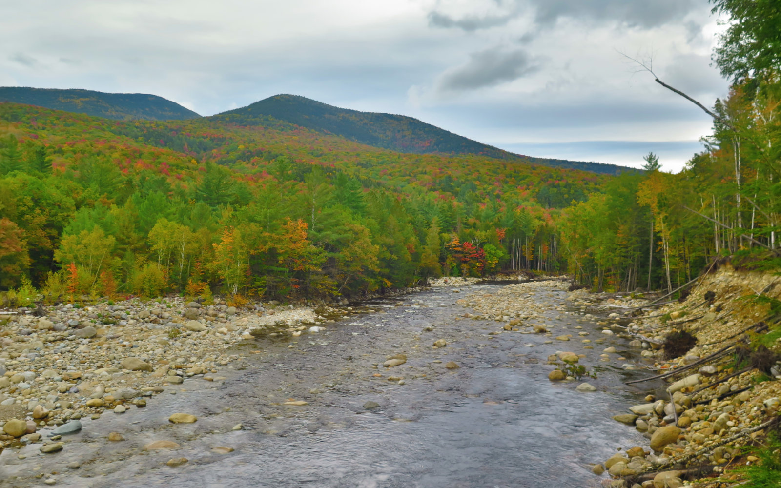
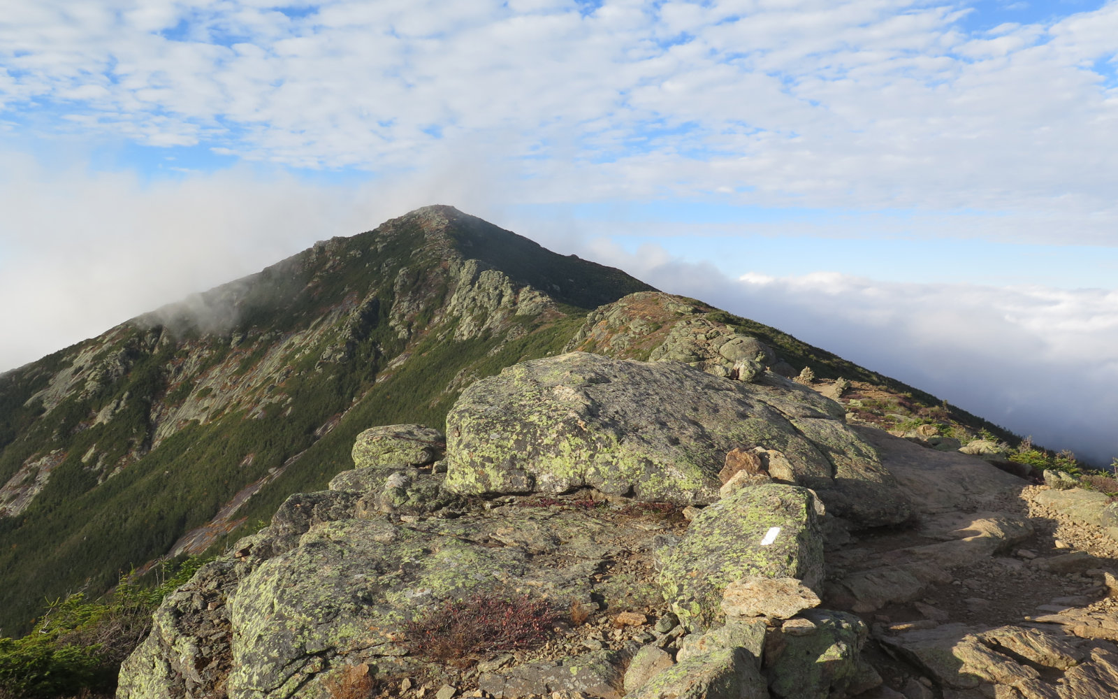
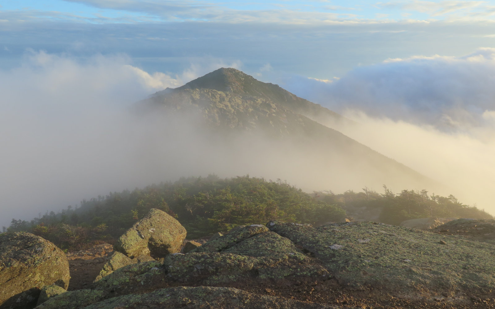
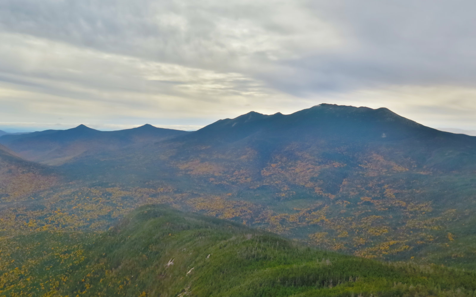
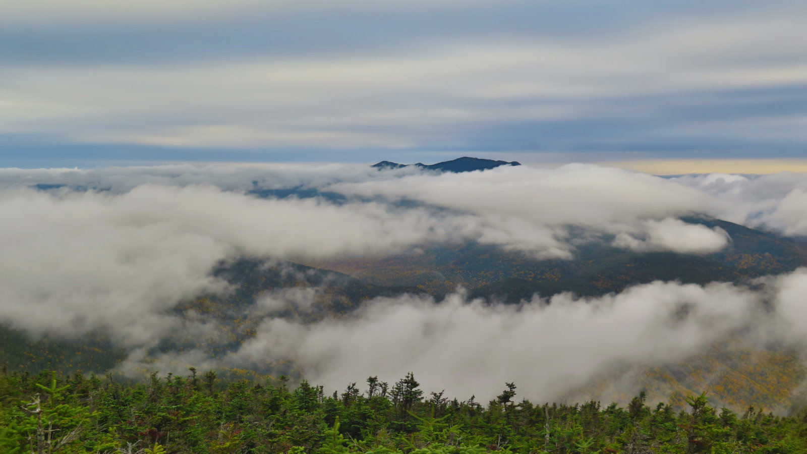
Weather was all over the map. Afternoon temps in the mid-60s on Wednesday and Thursday, 40s and 50s on Friday. Wednesday and Thursday saw clear mornings, with deteriorating weather as the day progressed. Friday started out cold and sodden, clearing up by early evening.
NOTICE TO HIKERS: The Forest Service is asking all hikers going to Owl’s Head to be vigilant against habituating bears to humans. Some hikers are leaving their packs at the foot of Owl’s Head, as they race up that last bit of the hike — either the slide path or the Brutus Bushwhack. Unfortunately, bears have noticed backpacks contain food. This wouldn’t be as huge a problem if it ended with errant hikers’ packs merely torn to shreds and their contents tossed around. The Forest Service knows of one instance where a bear followed a hiker, having smelled the food in her backpack. In that area, at least, they seem to be associating backpacks with a free meal.
If you’re going to leave your pack behind for the final push of a climb, make a bear hang — suspend your pack at least 10 feet off the ground, and at least 4 feet from any tree trunk or branch capable of supporting the weight of a bear.
Remember, a fed bear is a dead bear. And bears are too awesome to come to that end.
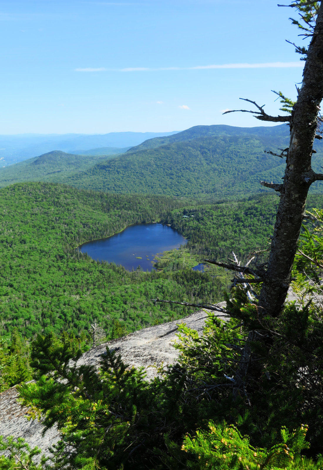
11 Prime Peaks in the Pemigewasset!
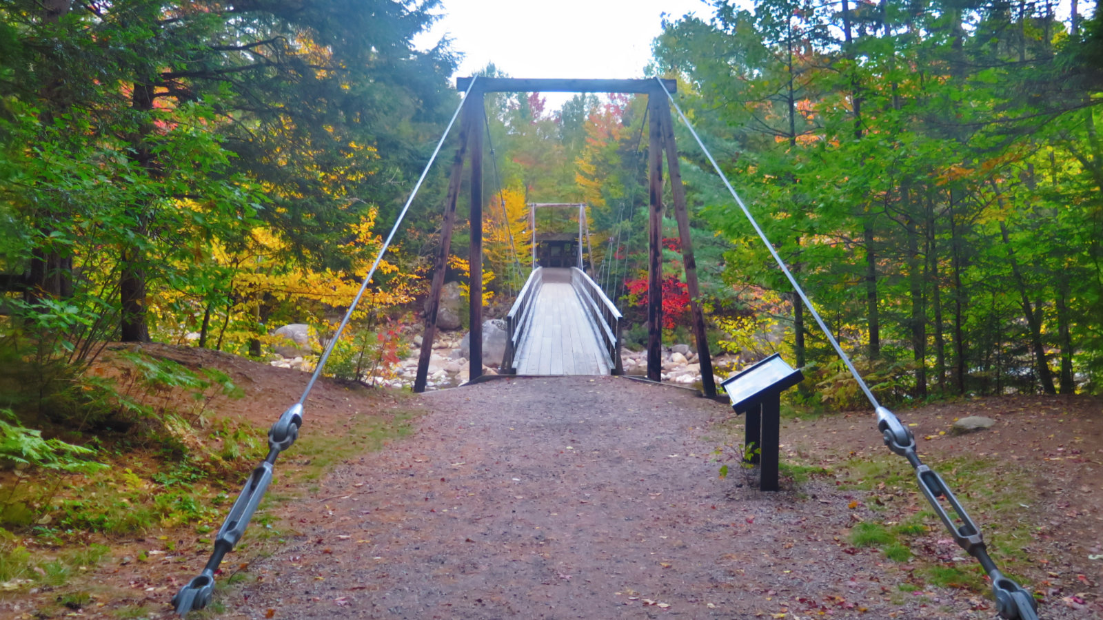
To say this was a tough trip is hitting it right on the head. And yet, as I crossed the bridge over Franconia Brook this afternoon, I just wanted to go back into the mountains. It was a lot of hard miles, but at the same time, the experience was intoxicating. Sheer narcotic bliss. I’ll do it again, for sure.
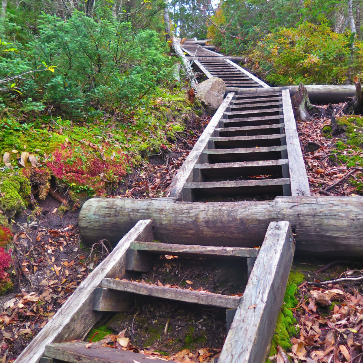
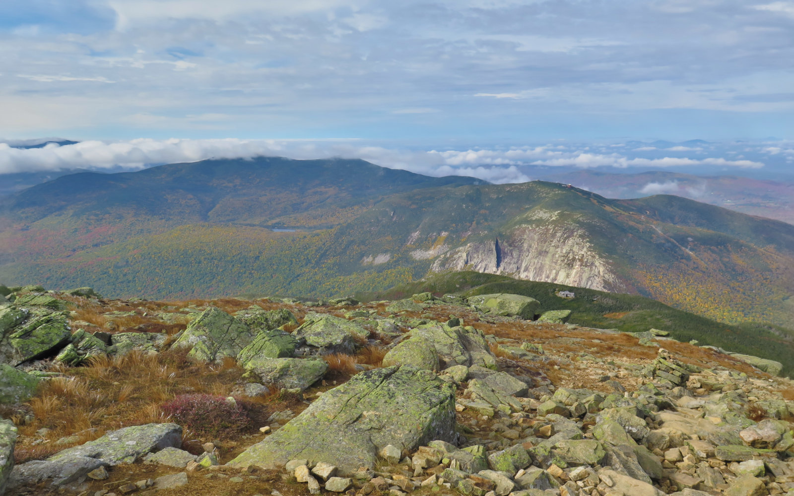
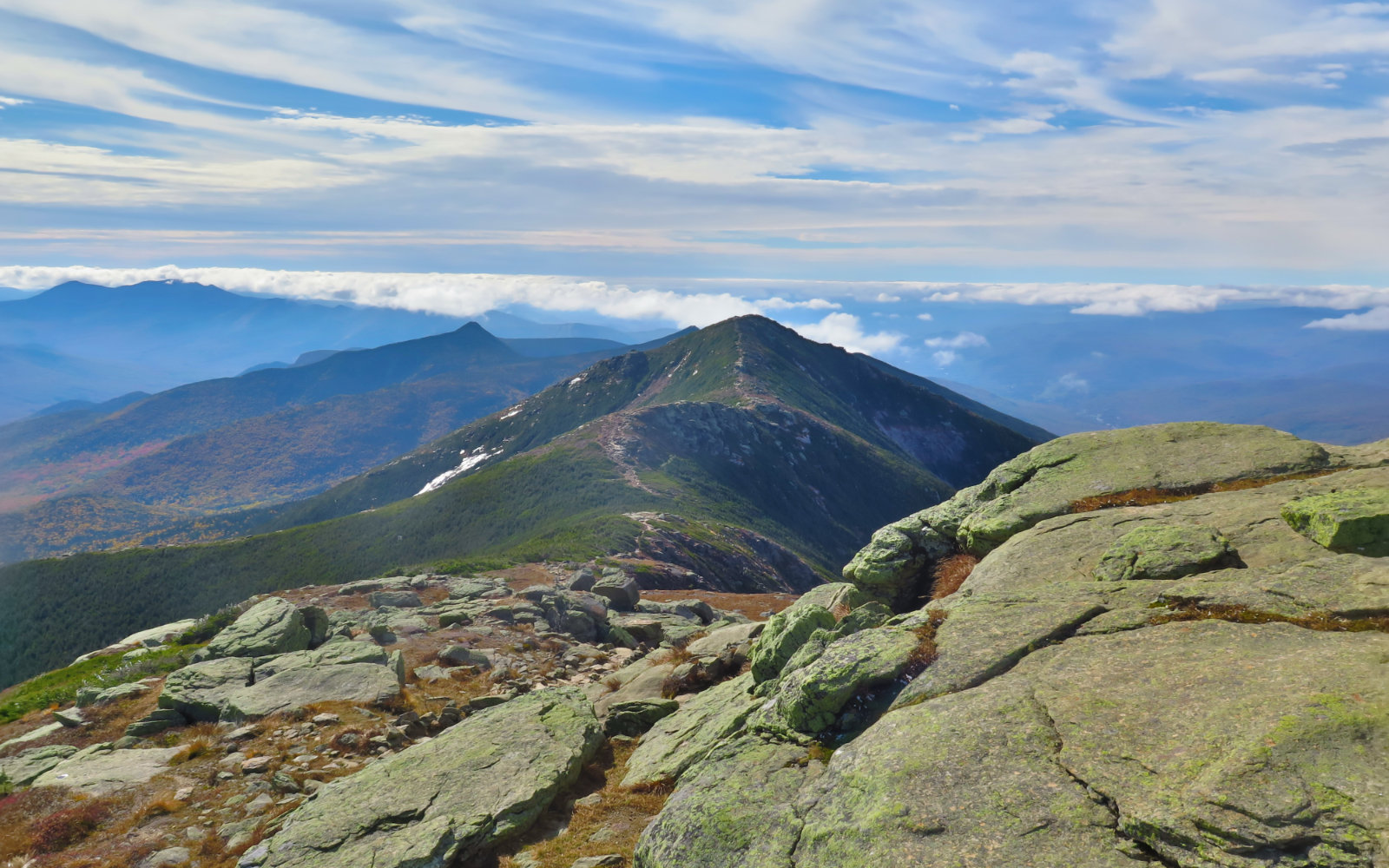
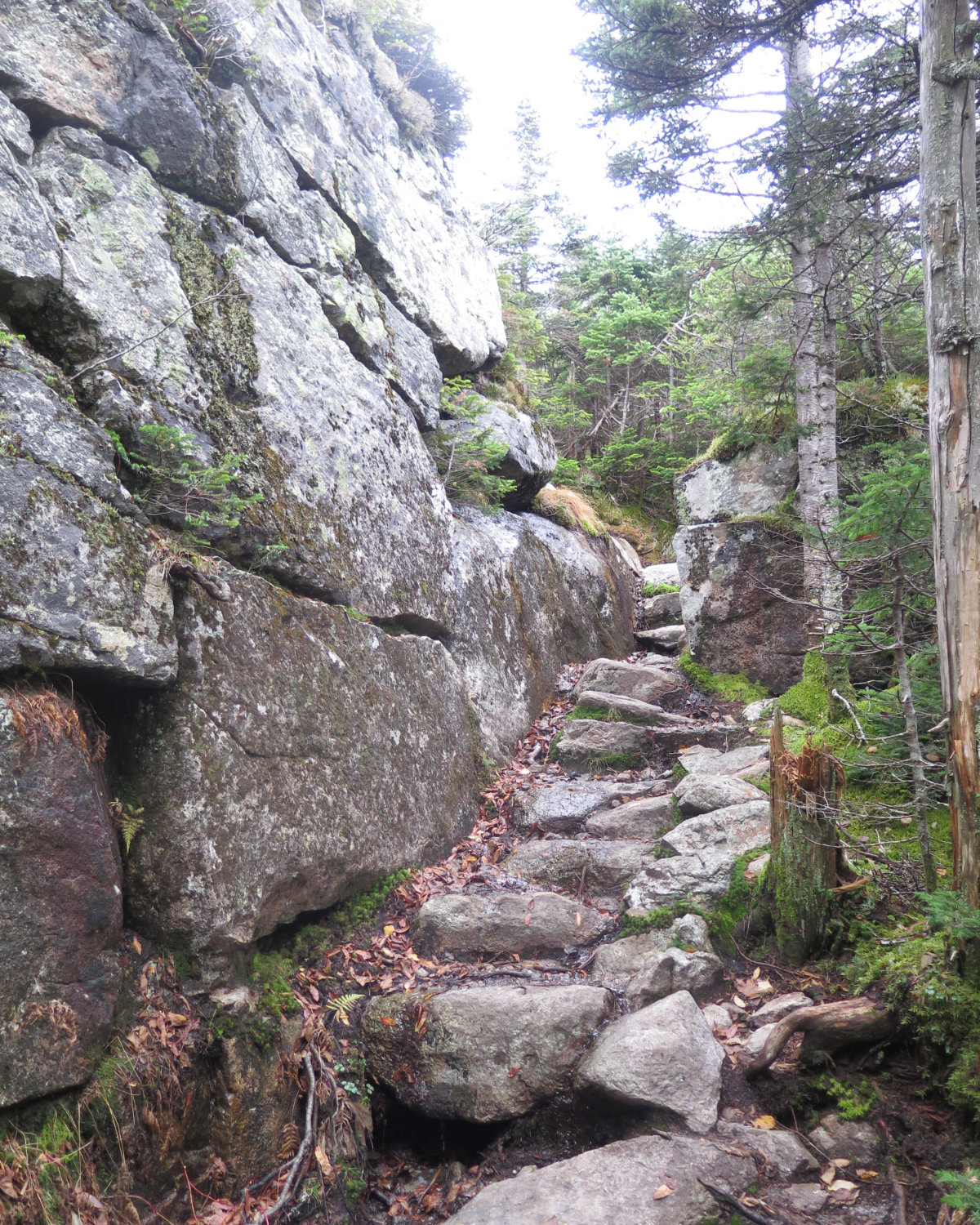
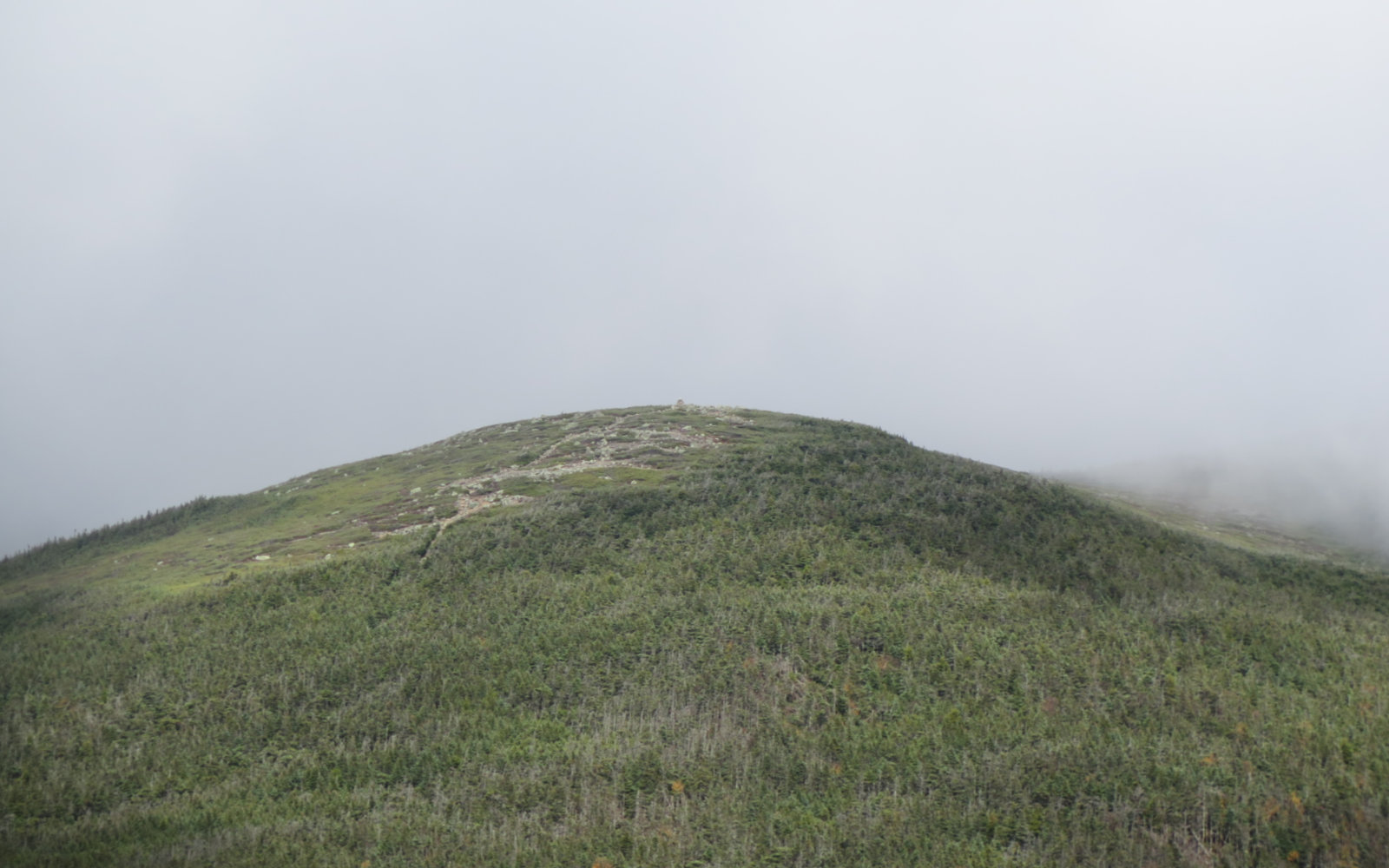
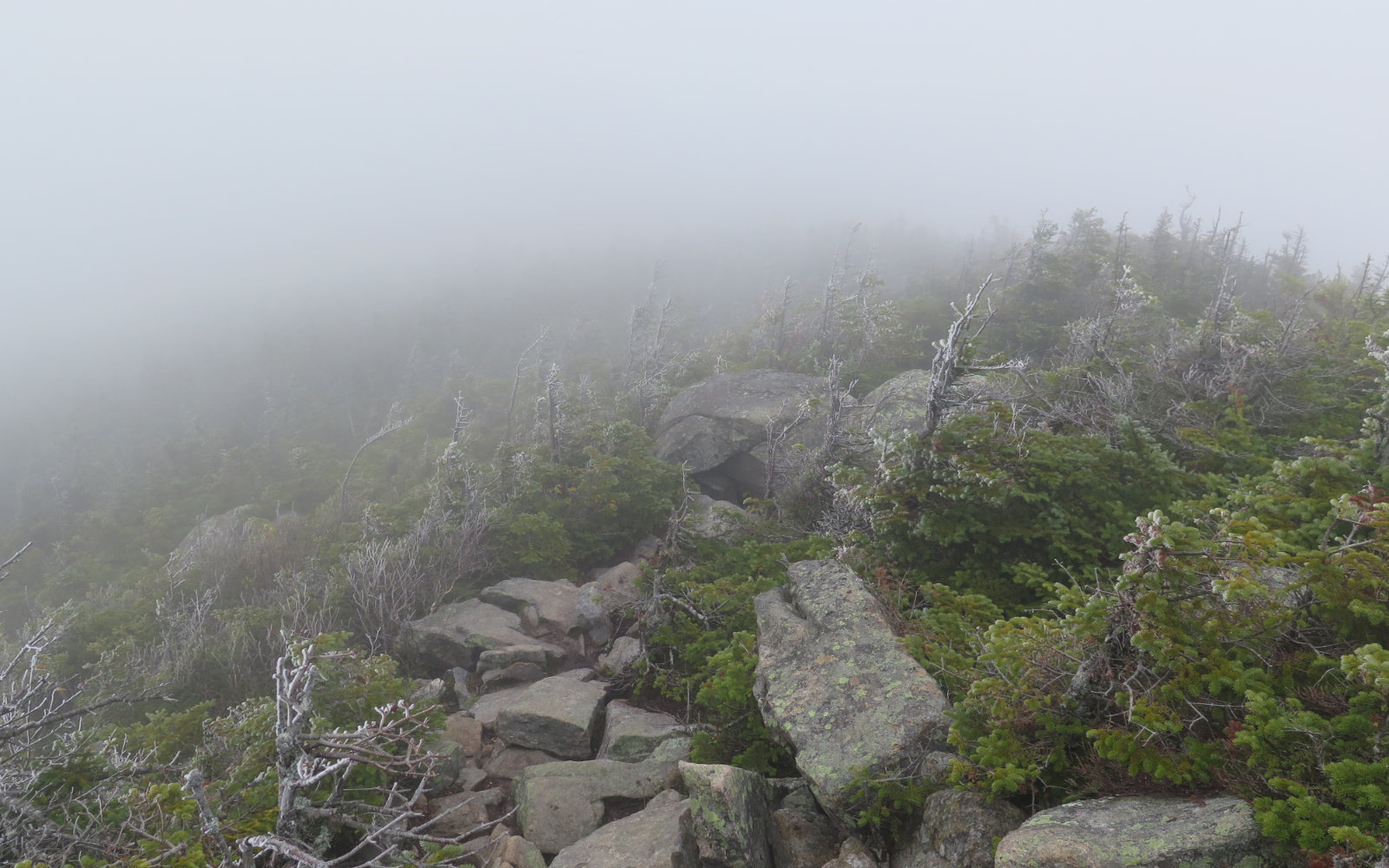
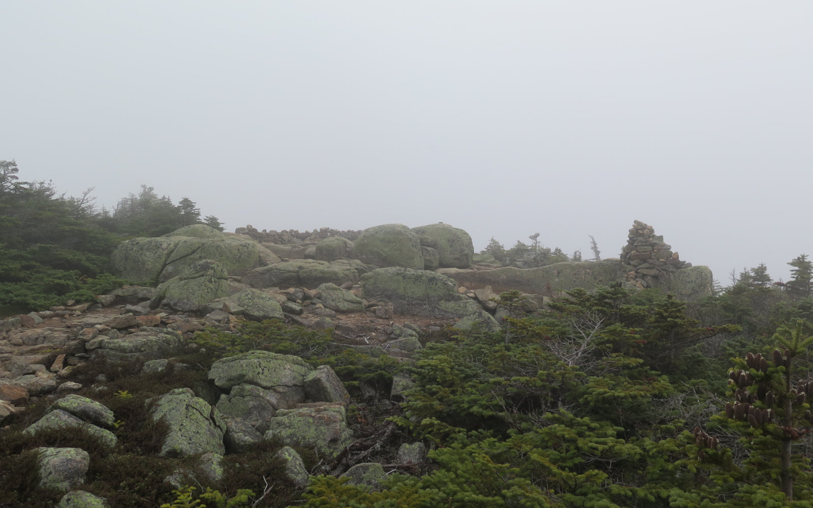
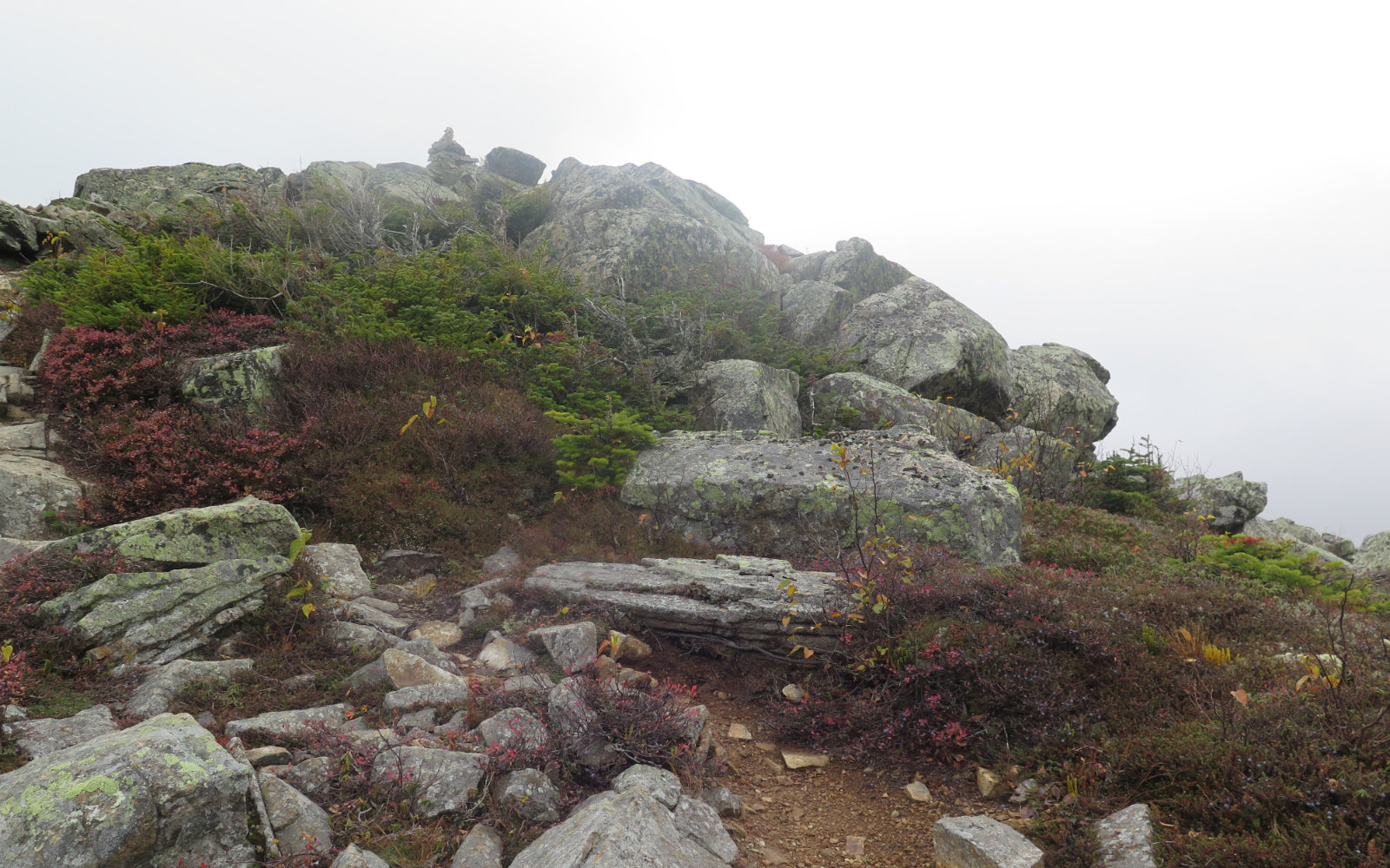
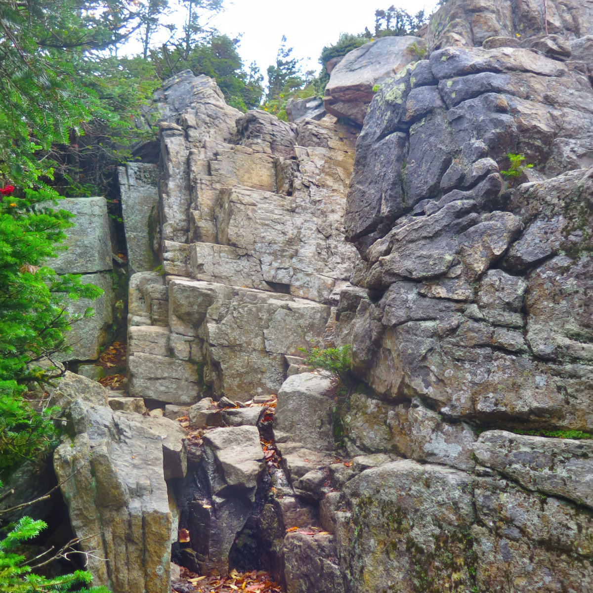
I began writing this blog because I wanted more information on what trails were hard, and so on, when I began doing the 48 and couldn’t find that kind of information to my satisfaction. Yet, a Pemi Loop is a strange beast. The Lincoln-Lafayette loop is a classic, and many novice hikers complete it without too much trouble. Similarly, less seasoned hikers make their way into the huts, which isn’t always an easy hike. With the loop, however, a trail’s difficulty is compounded by overall distance, time, and the fact that your legs aren’t the same on day three as when you start out. (And this trip, the weather was a very odd duck.) It’s not the trip to start out your 48 list with, unless you have substantial experience. These are very rocky miles, with several very deep cols, steep ascents and descents, and generally rough and rugged terrain. There was a lot of unavoidable mud, so even if it wasn’t rocky, there was a lot of time and energy spent in navigating seemingly endless mud puddles. Everywhere.
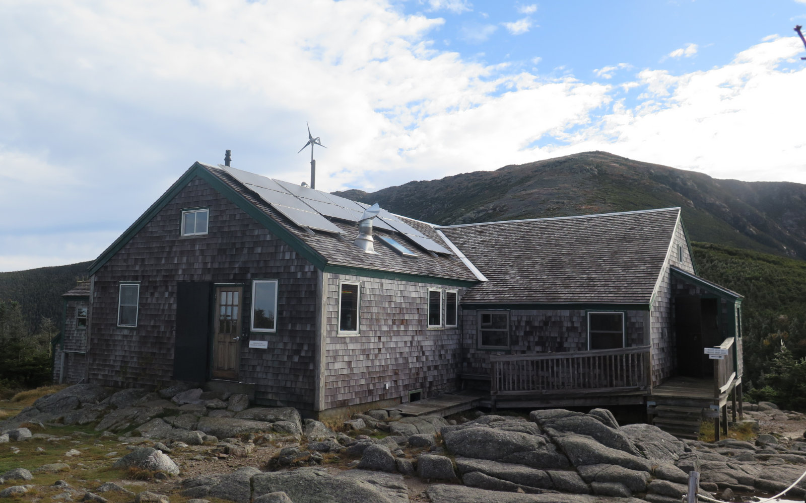
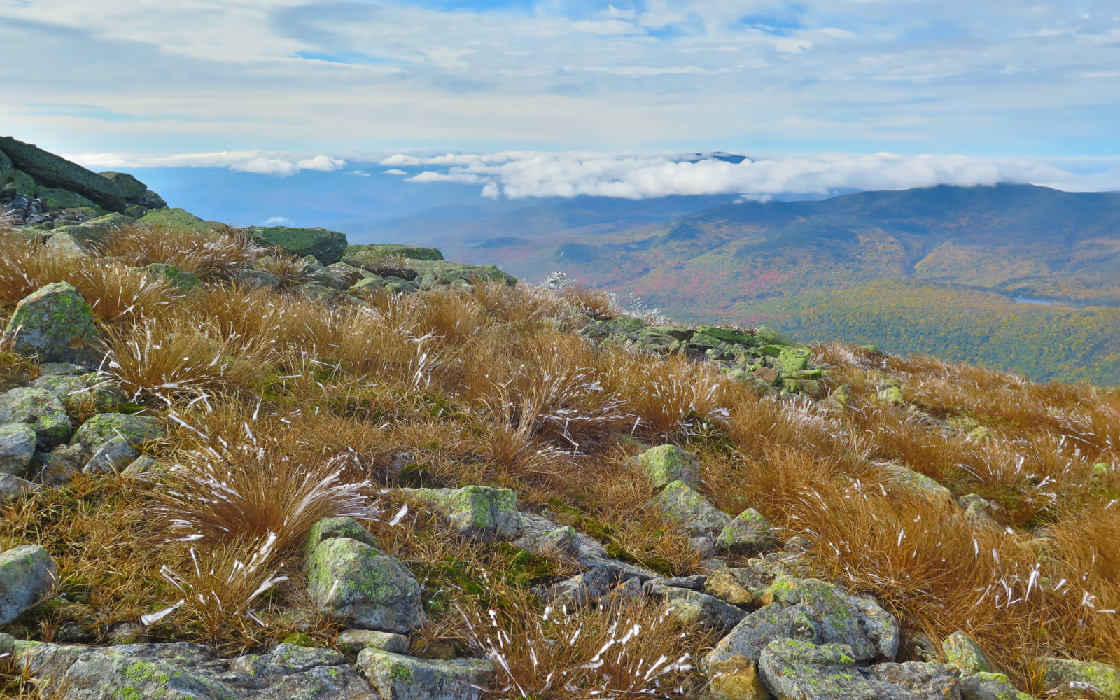
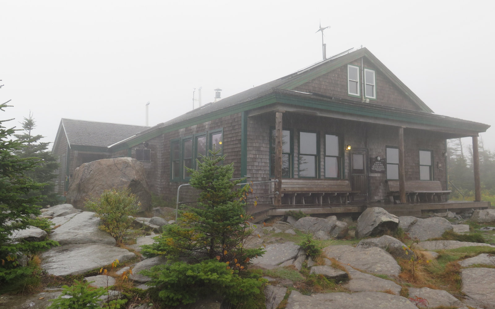
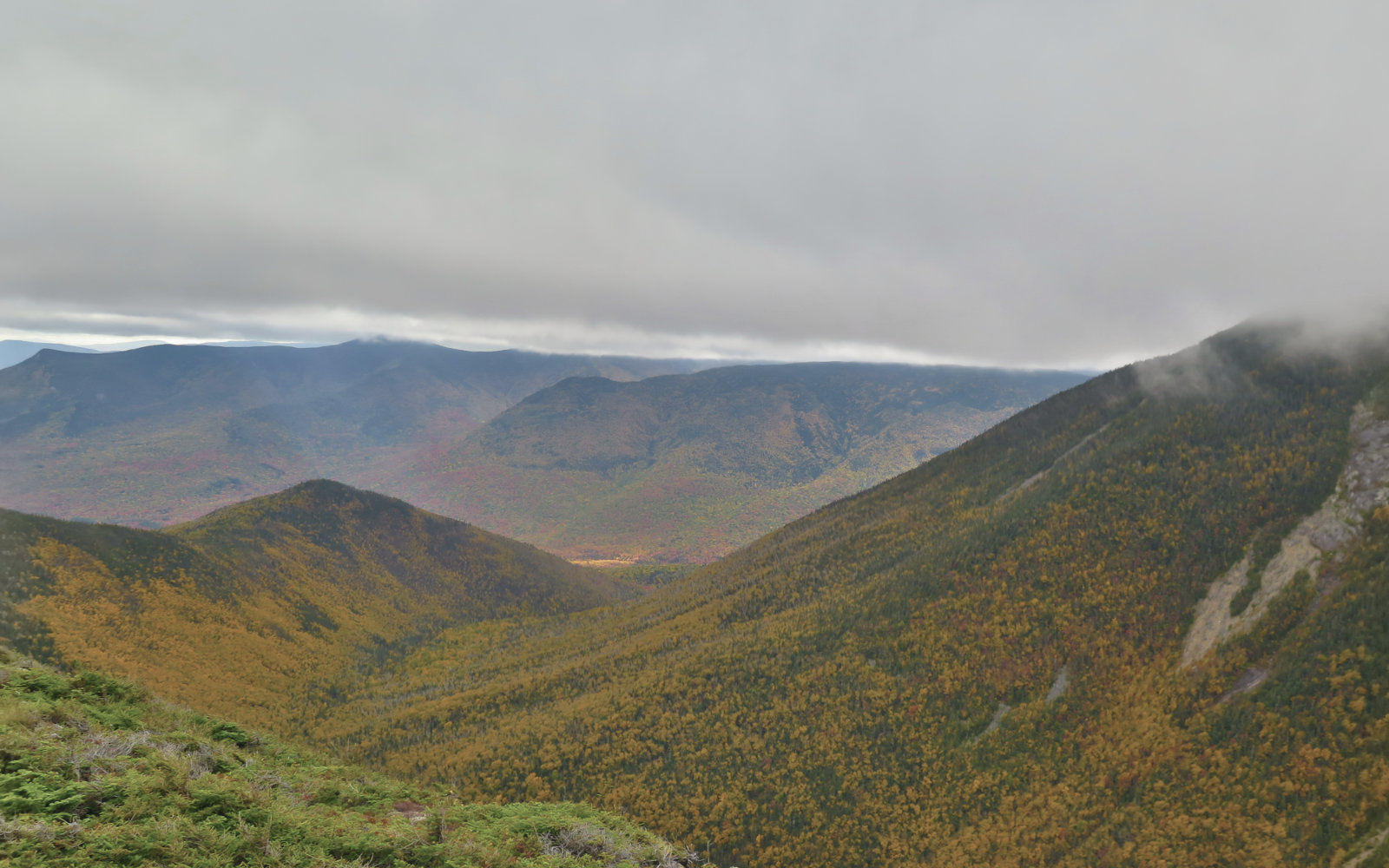
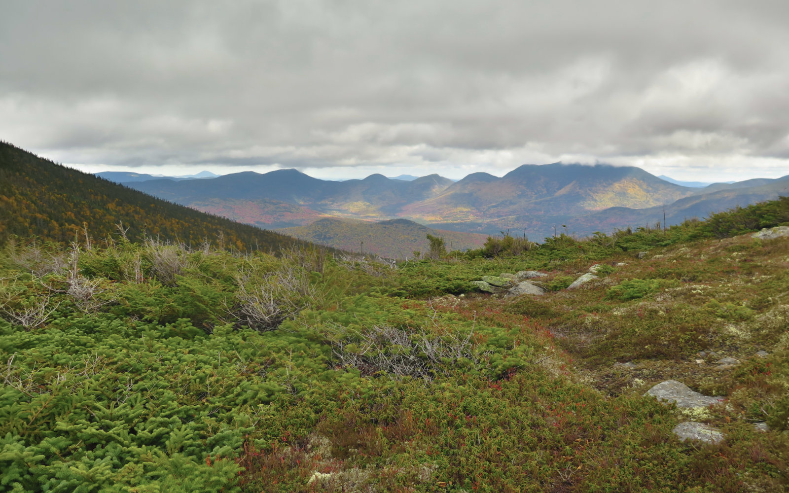
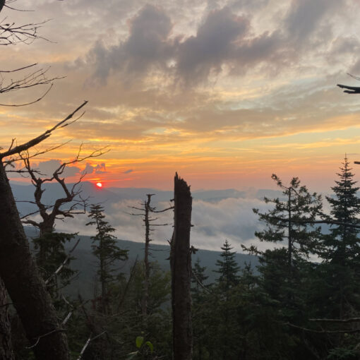
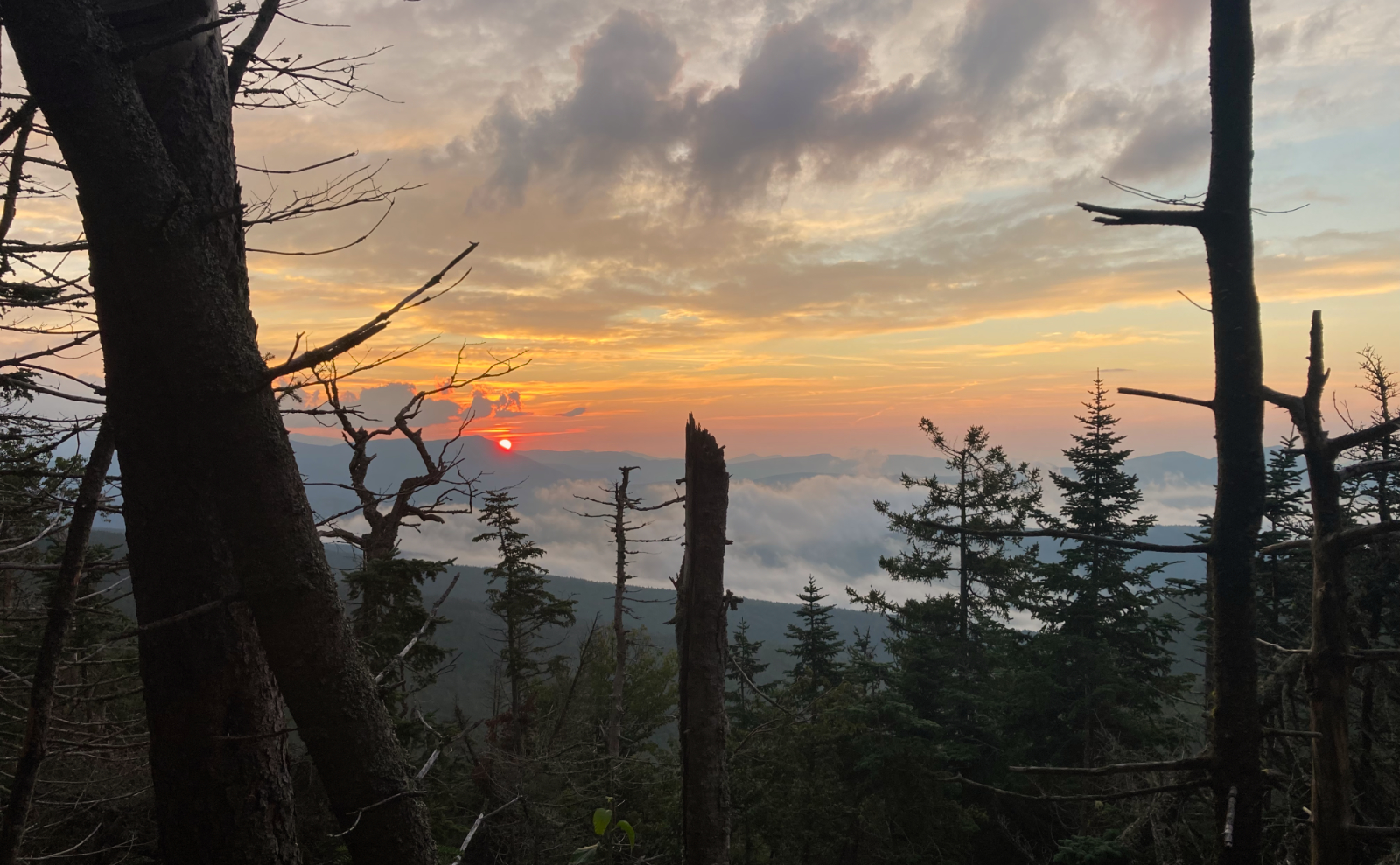
Each night, I was glad to have stayed in a hut — it was wet, windy, and just not very nice out both nights. (And the croo countered the weather with delicious meals, and fabulous desserts. Oh my, the salted caramel cheesecake was amazing, as was the blueberry quick bread.) Each day, I was challenged by the weather. Views were slashed by clouds, and with precious few exceptions, it felt like I always had to look nearby for what would make this trip special. (That being said, there were stretches where I realized I was grinning madly, because I was happy just being on the trail. So that was the plus that speaks for itself.) I kept wondering what would have happened if I’d had the time to knock out the loop over the summer. I’ll have the chance to test that hypothesis next year.
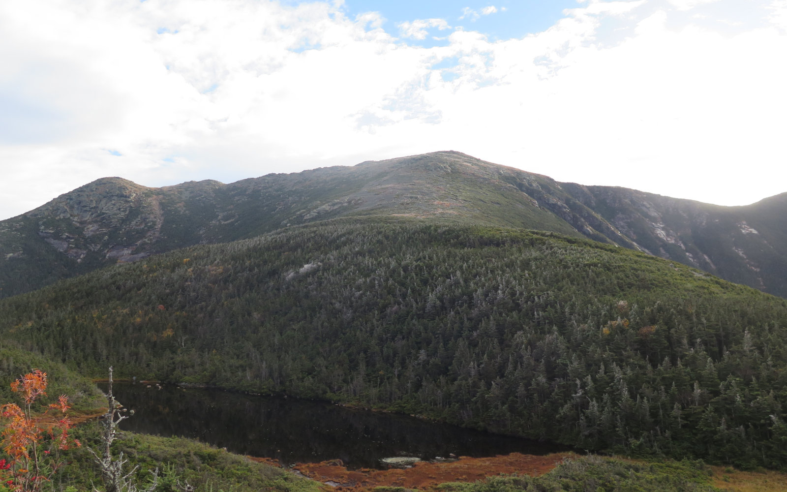
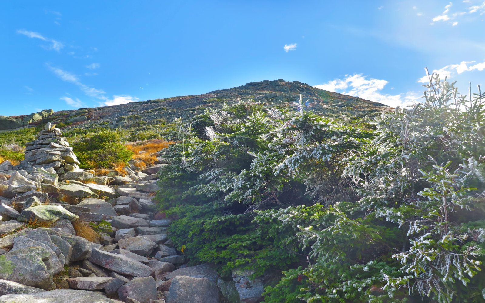
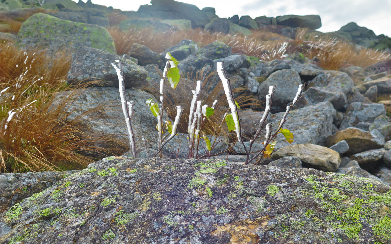
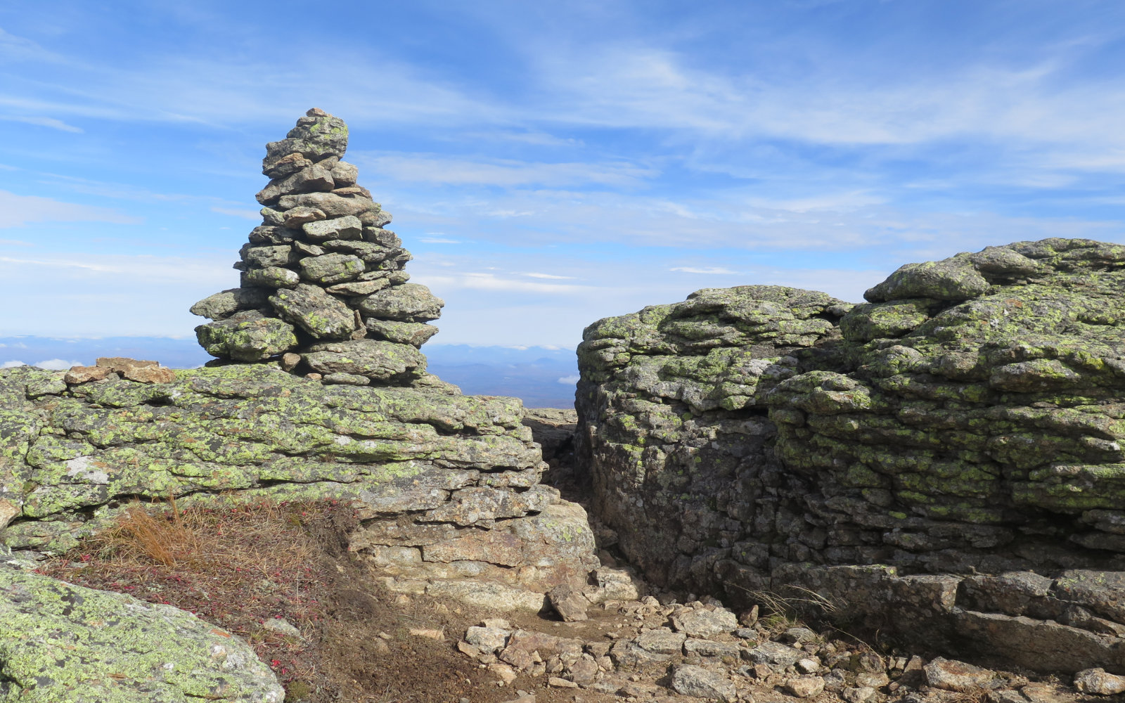
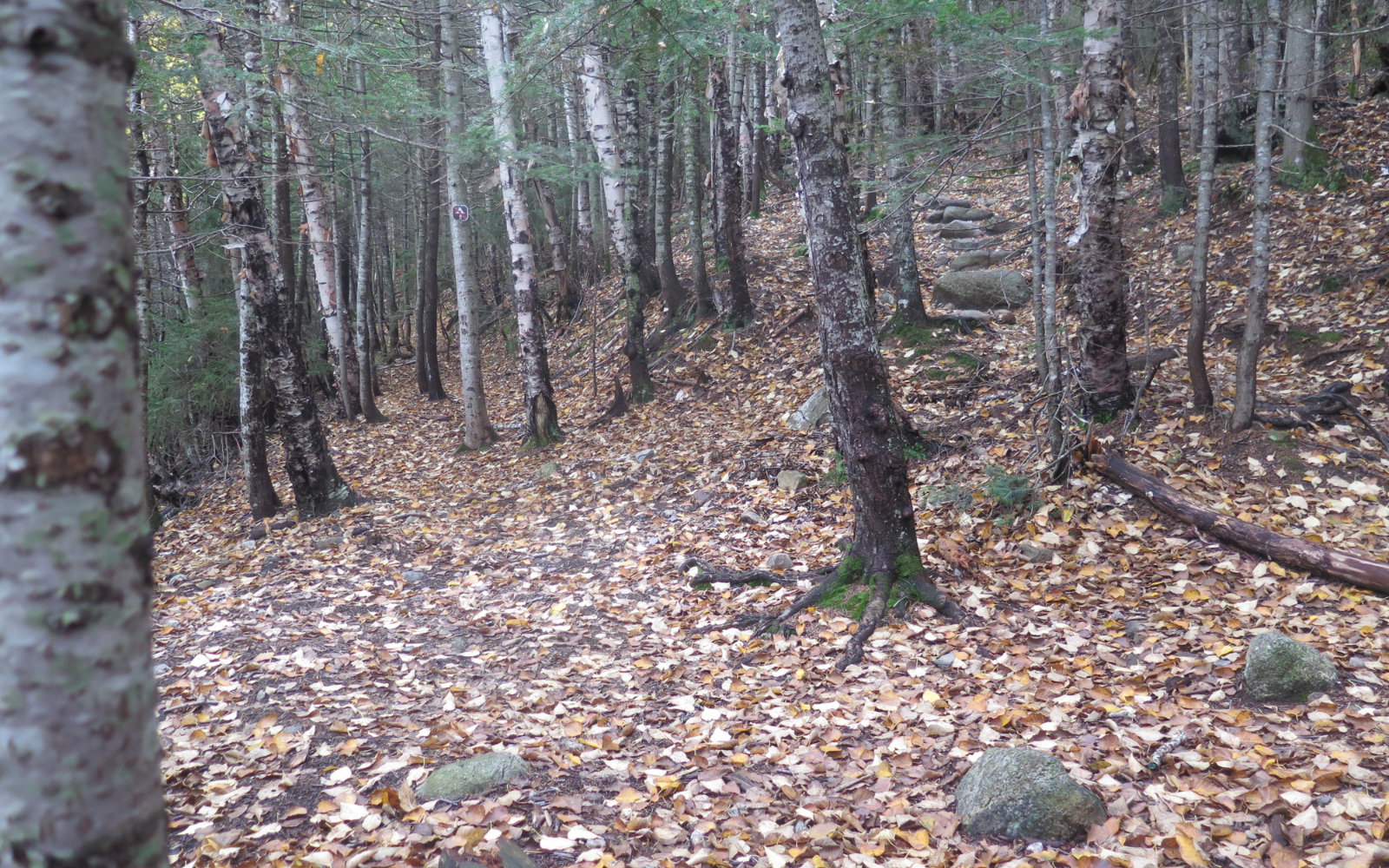
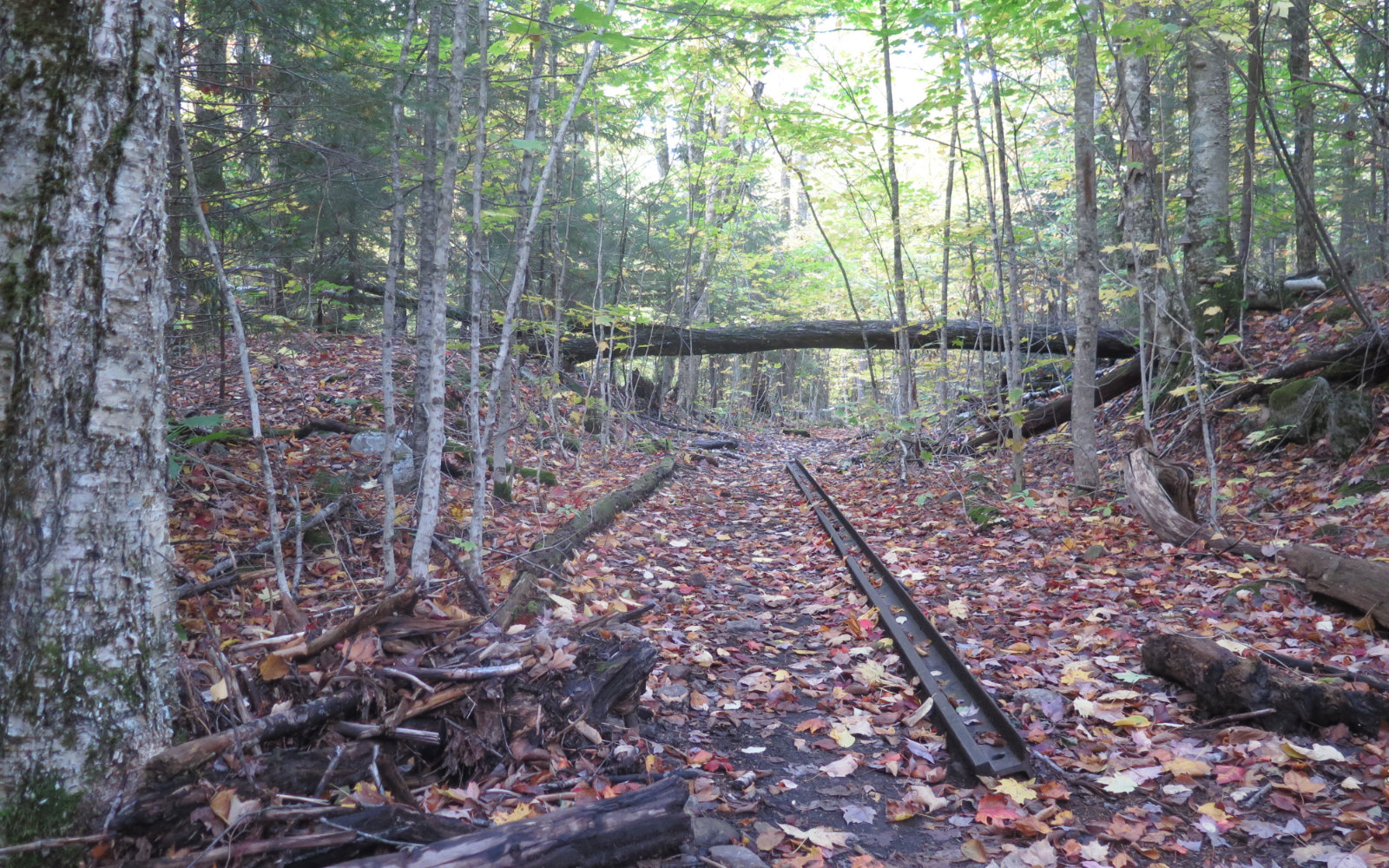
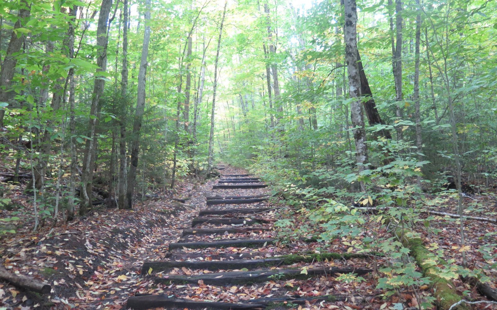
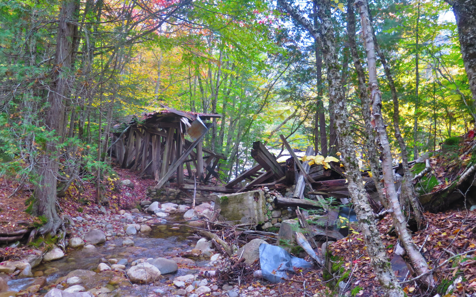
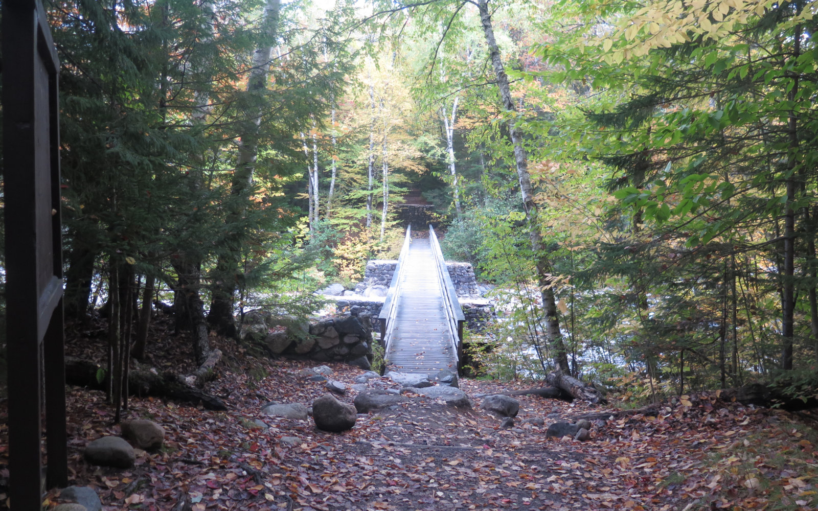
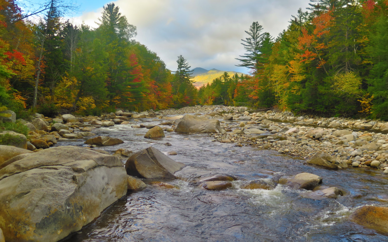
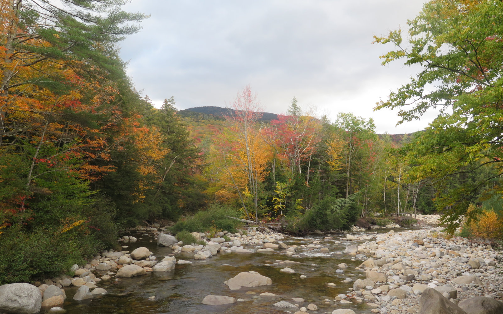
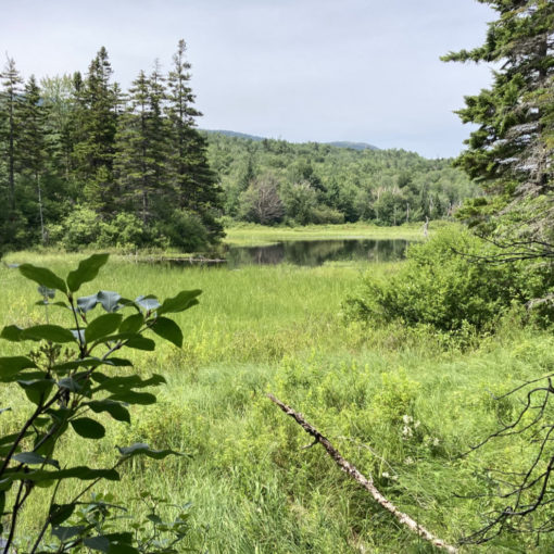
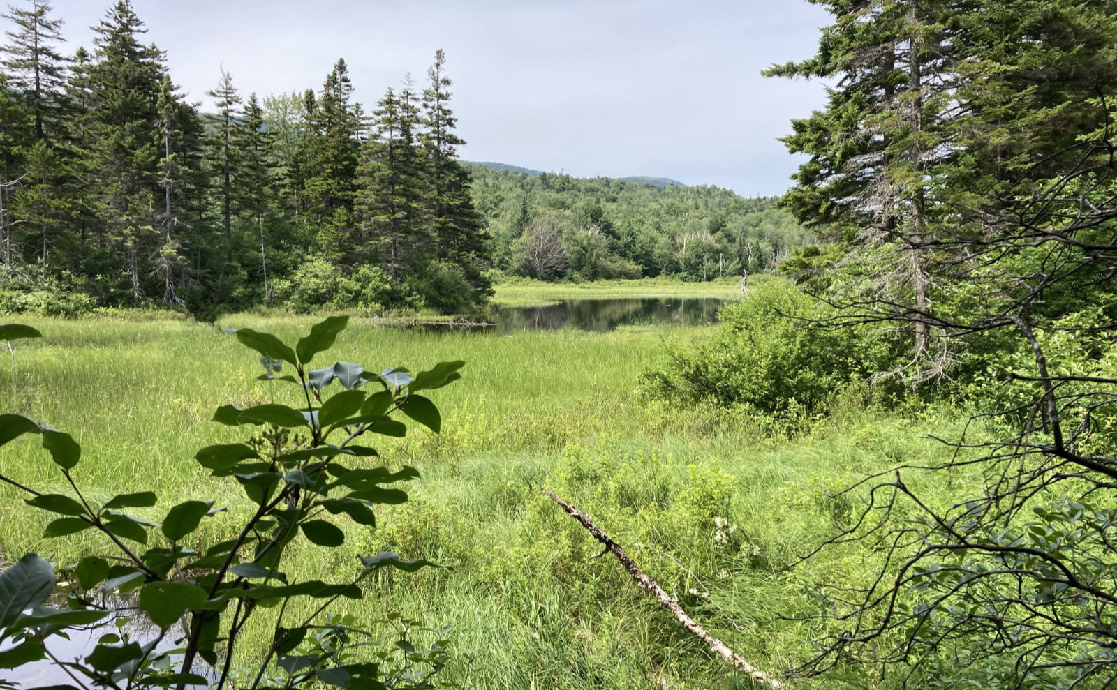
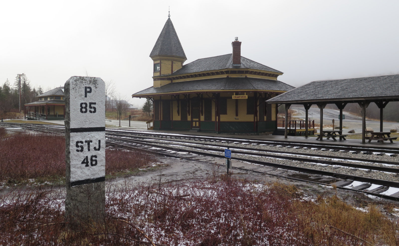
Given all that, I’m going to just let the pictures tell the story of an amazing outing. Those interested in doing the loop can decide whether 10+ mile days for three days straight is a smart idea. Feel free to reach out in the comments with questions.
Without further ado…

Nuts and Bolts: Lincoln Woods parking area (which is a good jumping off point for Owl’s Head, Mt Flume via Osseo trail, and Bondcliff) is about 5 miles to the east of Lincoln on the Kancamagus Highway (Rte 112). Exit 32 off of I-93, and you’re there. If you’re continuing on to Conway, know there’s no fuel on the Kanc. Lincoln is pricey, but inexpensive gasoline can be found in Ashland, at exit 24.
14 thoughts on “Trip Report: Pemi Loop”
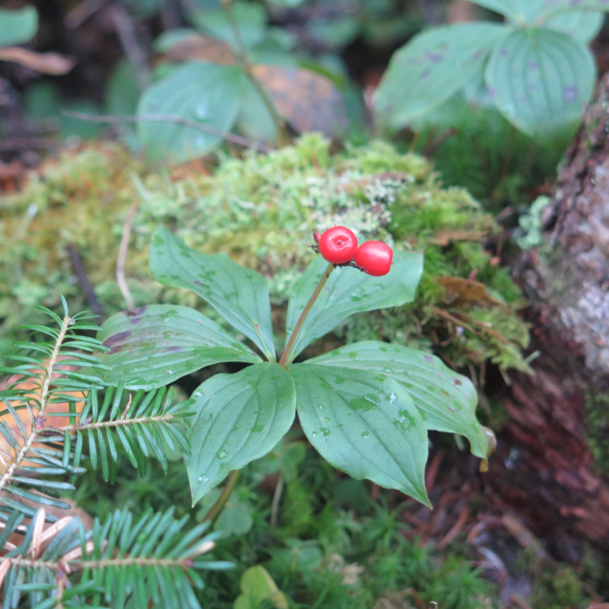
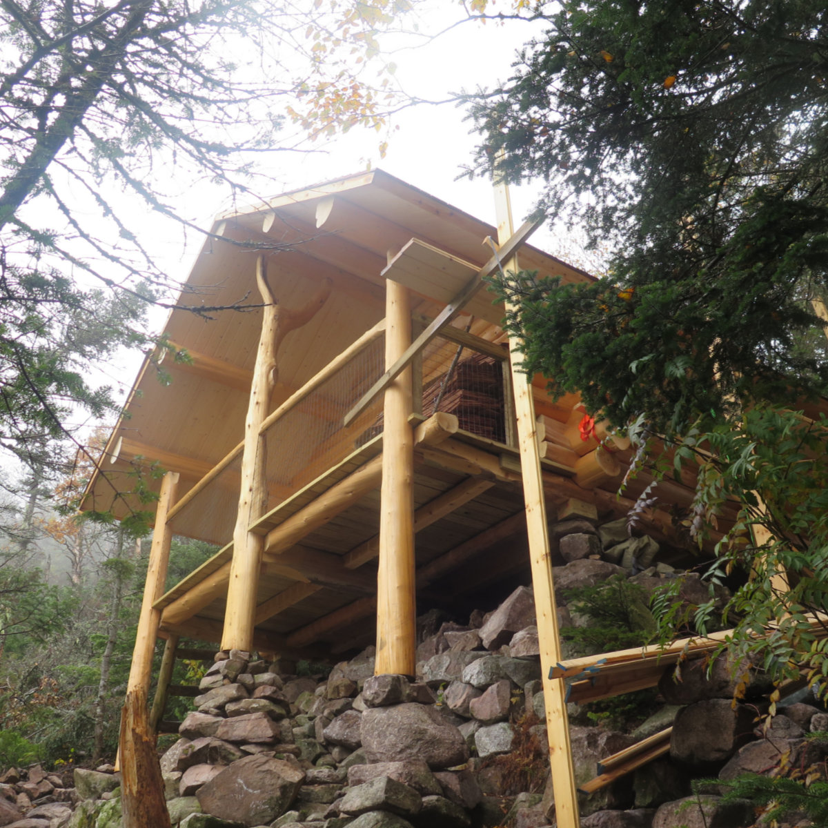
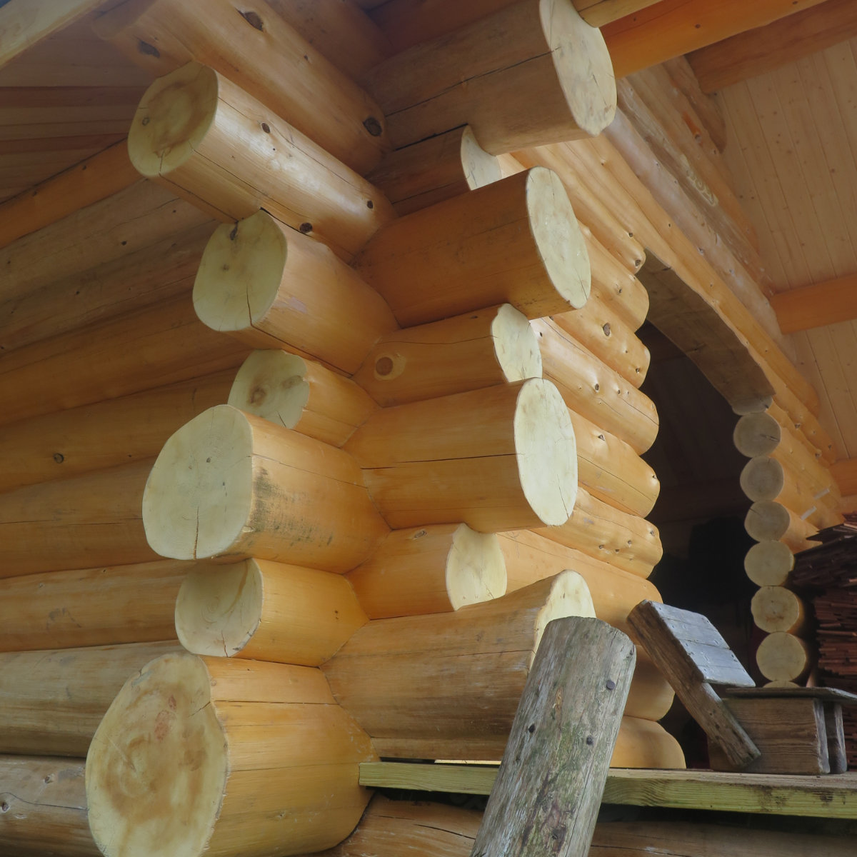
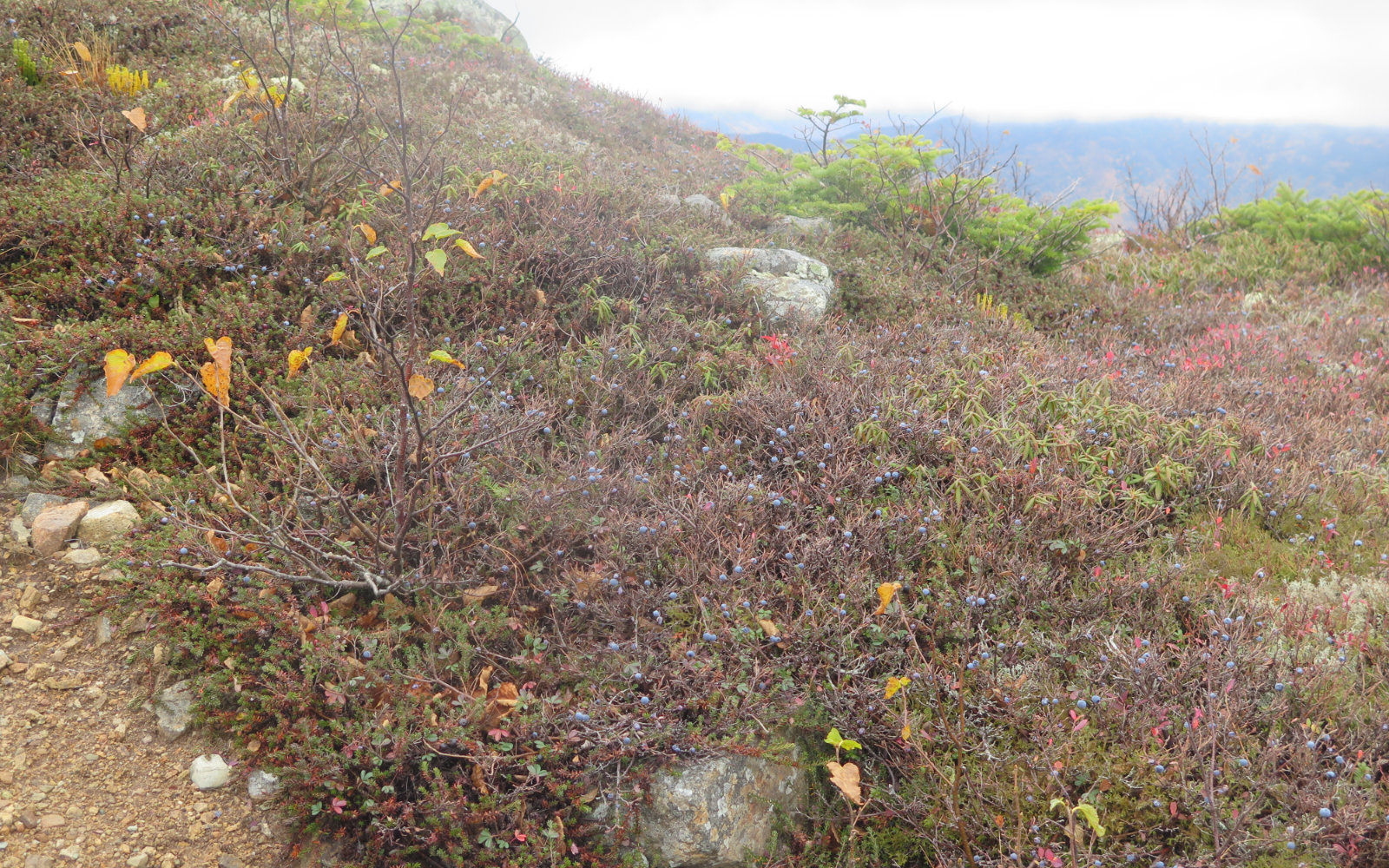
Wow! Blueberries in October! That’s amazing. The new shelter is beautiful! We did a semi-Pemi a few summers ago; Lincoln Woods to 13 Falls and then up to Galehead. That’s great, you had two nights in the huts. You can also get cheap gas at the Plymouth exit; two gas stations side by side as soon as you get off the exit.
I must admit to being very pleasantly surprised at the blueberries, but even in October, I won’t say no!
Thanks for posting the “Notice to hikers” regarding the bear issue at Owl’s Head. There is also a detailed account by Chris Dailey on his blog describing how he was recently followed by a bear there. I had planned on taking that route on my return leg this week. I will probably reroute to be on the safe side. Thanks again for your nice posts!
Tim
Glad that was useful. Oddly, there was only a small handwritten sign at the overnight hiker register at the Lincoln Woods ranger station. You’d think they’d have made a bigger deal about it than that. (And the story of the bear following a hiker was given by word of mouth.)
Thanks for reading!
Gorgeous pictures! I’ve hiked about half of that route at one point or another, now I want to do the rest. 🙂
Completely unrelatedly, I no longer have an email address for you. -Chip.
You should absolutely hike the rest, though I advise picking a weekend with stellar weather. Hiking in 50+ MPH winds is a bit of a beast. Not having the epic views all the time wasn’t helping either.
Hi Sunya here, we met on your way down to Lincoln Woods trailhead. I have to say it is definitely wiser to go clockwise than counterclockwise, that way you choose a good day to go on Franconia Ridge. Totally agree with the blueberries! I had some at Bondcliff, they were soooo delicious (I think that’s why you found so many of them in the bread)! I stayed at Guyot just as planned, but it was cold and my first solo tenting experience so I didn’t really get a good sleep the first day (rookie haha). Day 2 was nice weather, but I only pushed to Garfield because of the icy muddy and rugged terrain. Day 3 was really foggy, and it turned out to be really miserable on Mt Lafayette… Had to crawl on the ground so the wind wouldn’t blow me off from the cliff, and my knees were all bruised up lol. For me it is really surprising how the wind on Mt Lafayette can give me fresh taste of death every time I try to pass it… Eventually I ended up in Greenleaf hut and decided to quit Pemi Loop this time by descending from Greenleaf trail. Hitchhiked back to Lincoln Woods trailhead parking lot and made it back to Boston on Sunday night. Will definitely come back to finish Pemi Loop again! And probably multiple times in various seasons! It is a bit intimidating but totally worth it.
That sounds like quite the adventure. Glad you’re safe, and hopefully you can get back and finish the loop sometime.