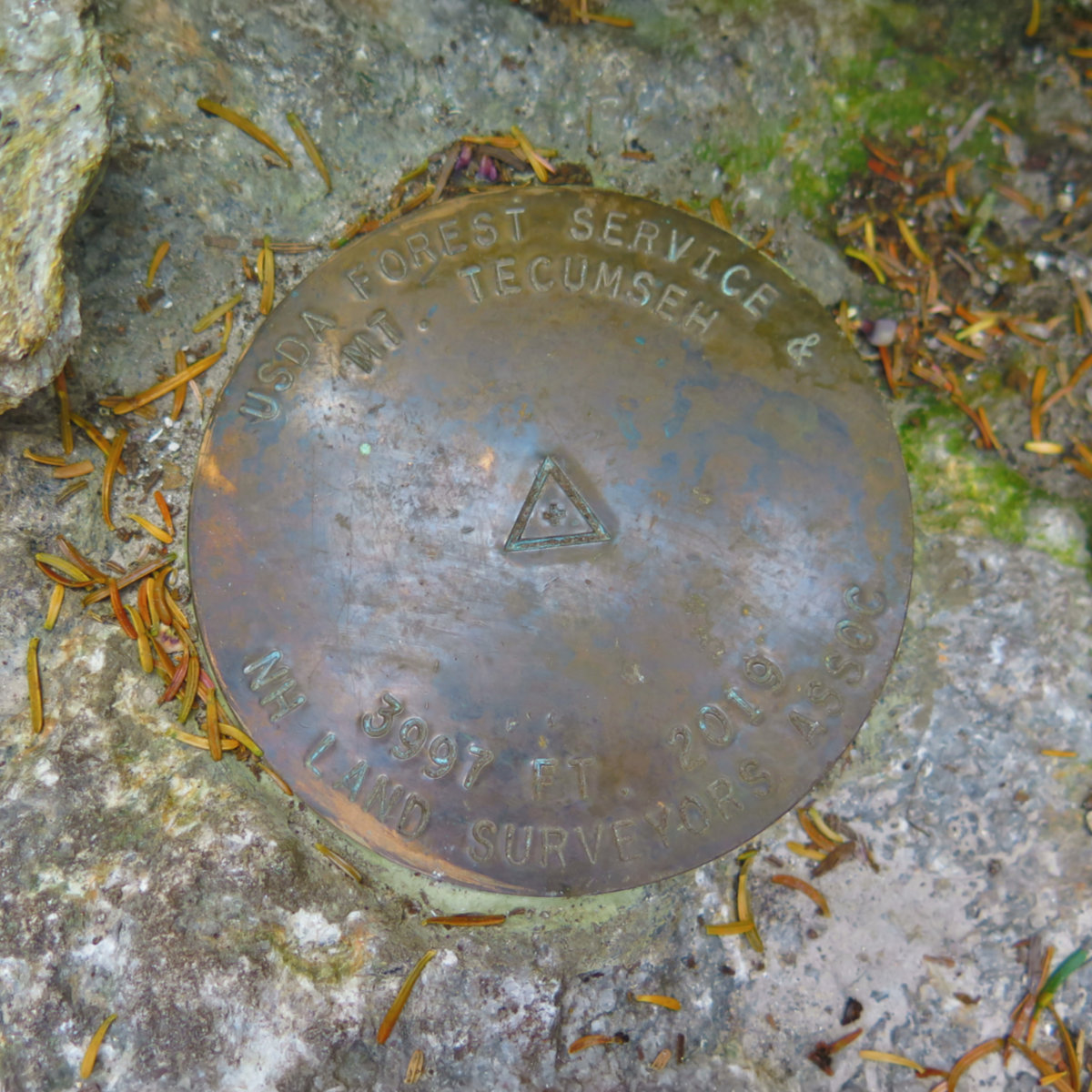
Mt Tecumseh, Thornton, NH. 2019-05-22. Wednesday. Via the Tecumseh Trail from Tripoli Road. 6.4 miles, 3,997 ft, as of the most recent (2019) survey. 2,600 feet elevation gain.
60 dF at the summit, no significant wind. Sunny to start, light rain at the end.
Trailhead: 1030. Summit: 1245. Car: 1430.
This was a fun day out. But more than that, coming in from Tripoli made the hike feel more magical than approaching from the ski area. Indeed, thinking back, today felt a lot more magical than other hikes I can think of off-hand.
The seed was planted when I did Osceola a few weeks ago. Driving down Tripoli Road, I was taken by its feeling of remoteness. When they say that almost anywhere in the Whites is within a day’s hike of a road, they might be true to the letter of the law with Tripoli Road, but it retains a feeling of remoteness that I’d not felt since driving down unnamed logging roads in central Maine. It was inviting.
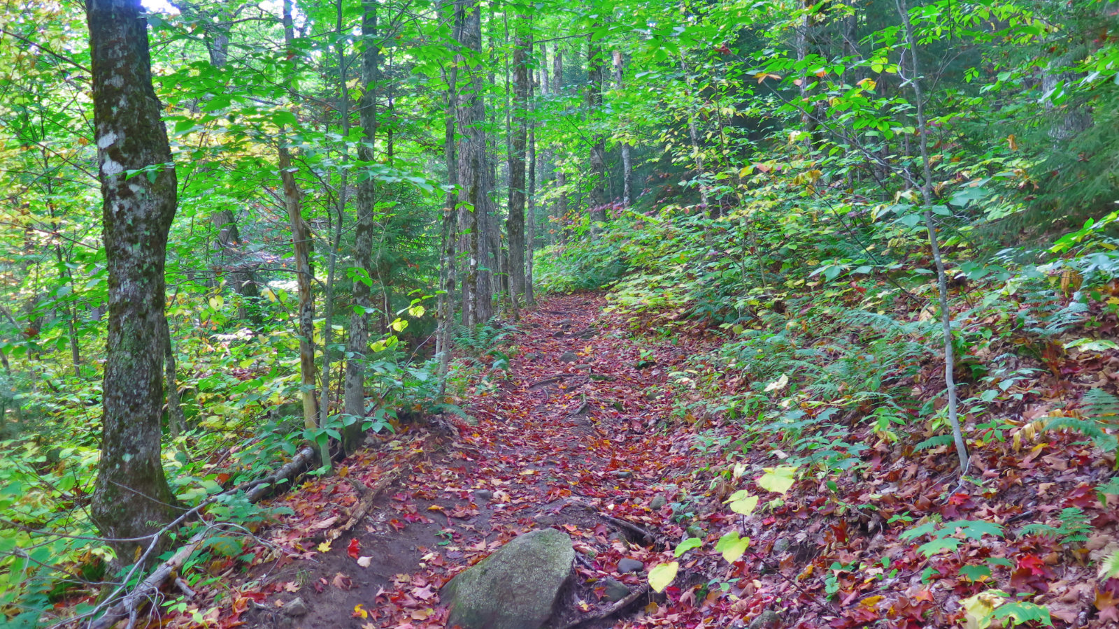
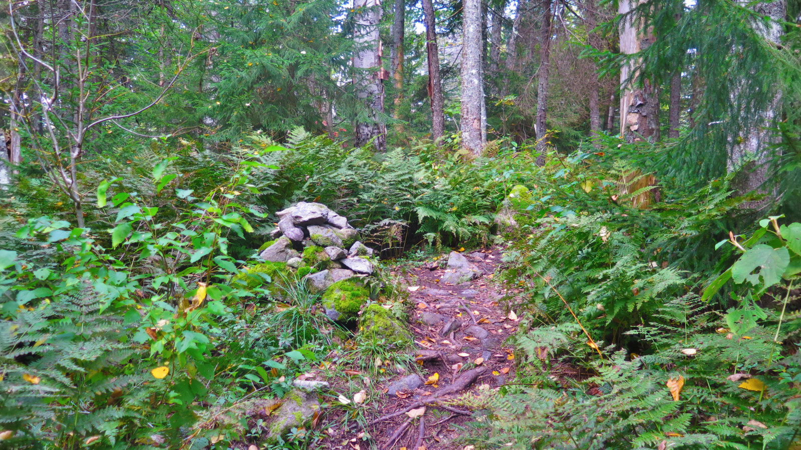
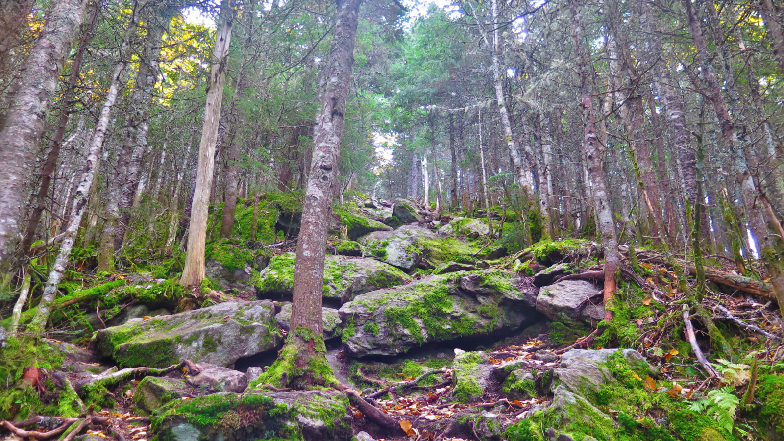
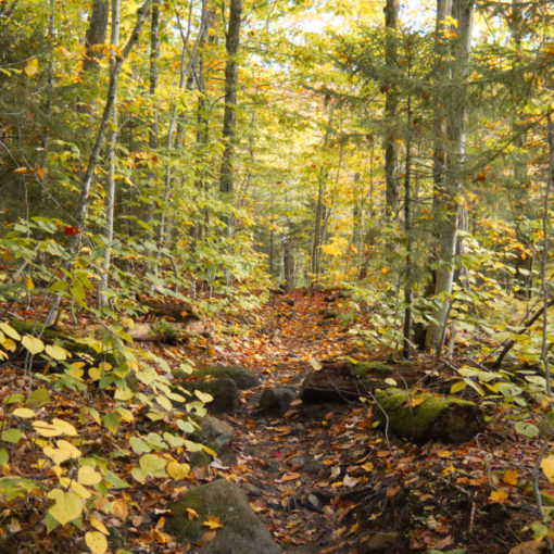
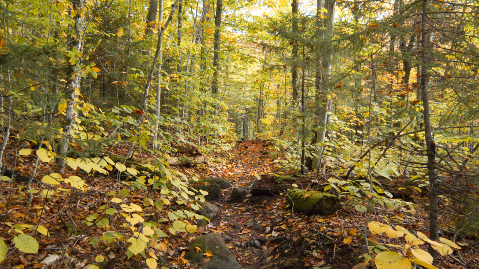
The day called for rain after 2PM, so we got going with that in mind. Starting out, like on the opposite side, there was a tiny water crossing within a dozen or so yards of the trailhead. And similar to the opposite side, the trail pitched upward pretty robustly shortly after that. We made our way over fairly easy footing. There were a few spots that got a bit rocky, but overall, the trail was pretty tame excepting for its pitch.
Autumn is here, and although most of the forest is still very much green, the sugar maples are wild shades of red, and some of the yellow birches are turning. There was a thin bed of leaves on the forest floor, in their various autumnal hues. As much as I wish the warmer weather could persist for awhile longer, it was still a visual feast. (And yes, there’s a crazy dichotomy at work, because I love winter’s wonderland, and oh, by the way, smoother tramping across pristine monorail. Like so much in life, it’s complicated.)
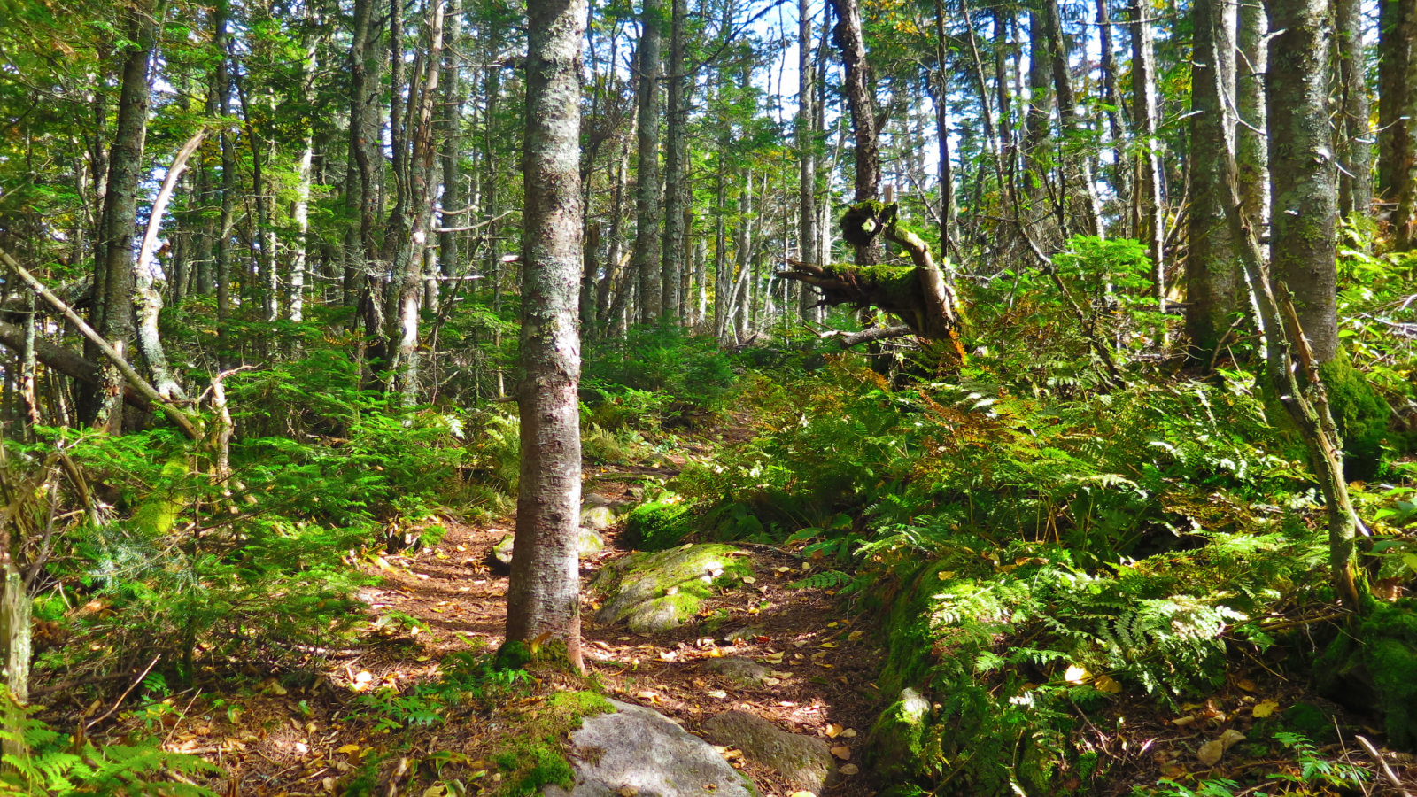
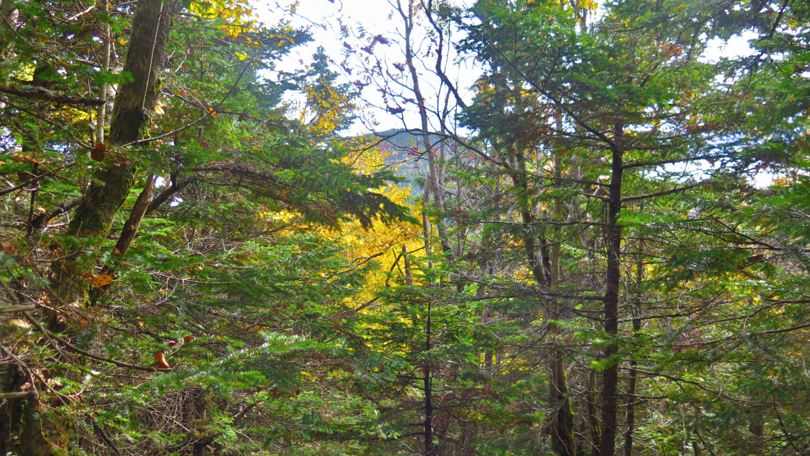
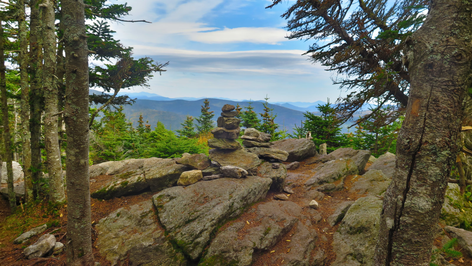
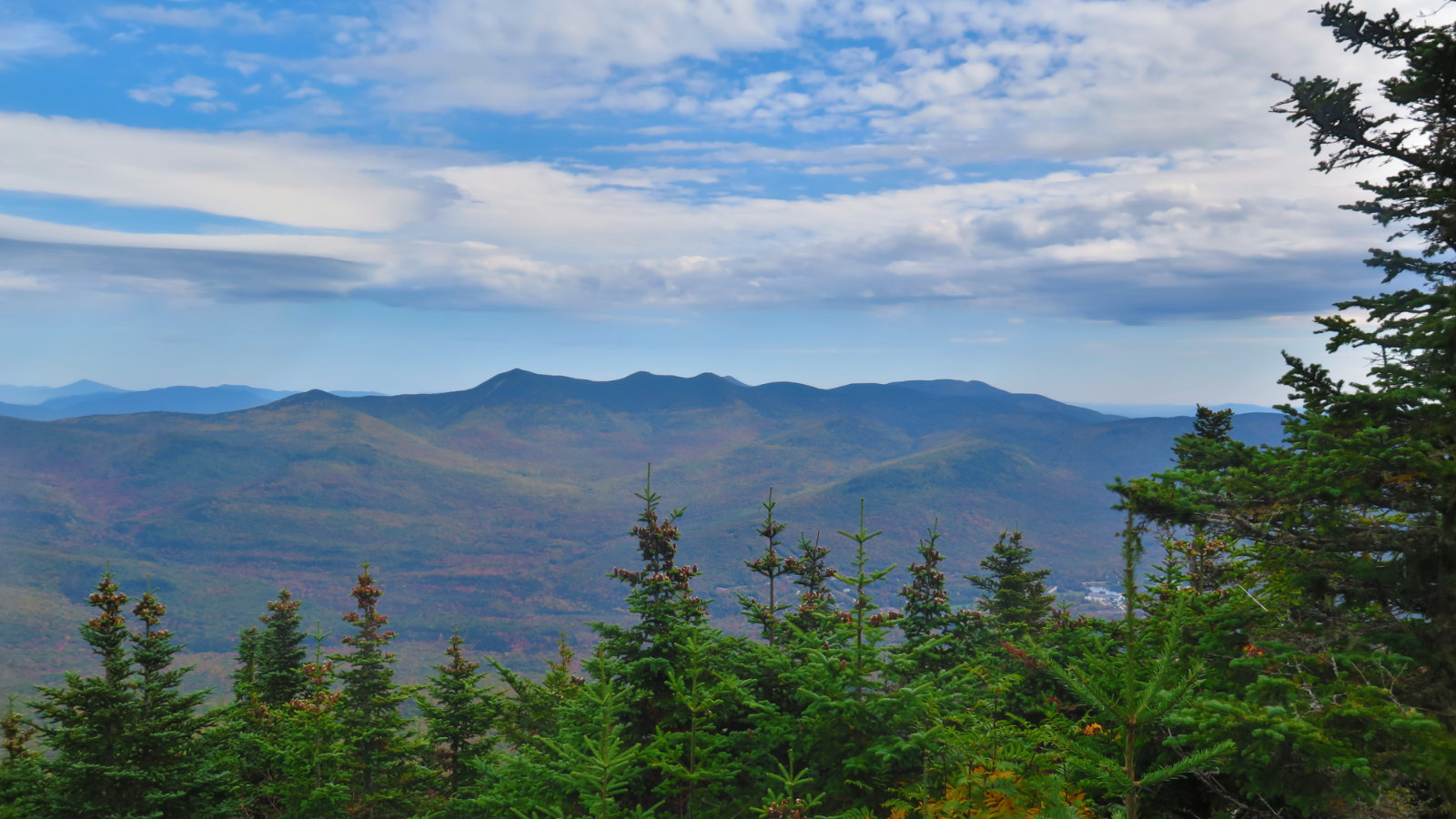
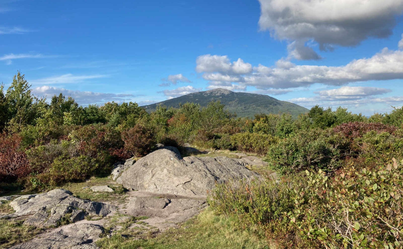
We crossed the false summit, and through the trees, could see the peak of Tecumseh in the near distance. With around a mile to go, we crossed the somewhat shallow col, and then climbed up to the summit.
And here, sadness. A newly added feature to the summit is a small bronze medallion, sunken into the rock, which reads 3,997 feet. Though so far, I’ve not been able to find anything official saying it’s off the list, by technical measure, it’s not a 4,000 foot peak.
However…
Why do we climb a mountain? Surely, not because of a silly list. And for that, Tecumseh is still a fine outing. The mountain may or may not stay on the official AMC list, but it remains on mine. (I also contend that Guyot should be on the list, for all he did in mapping the Whites in the first place.)
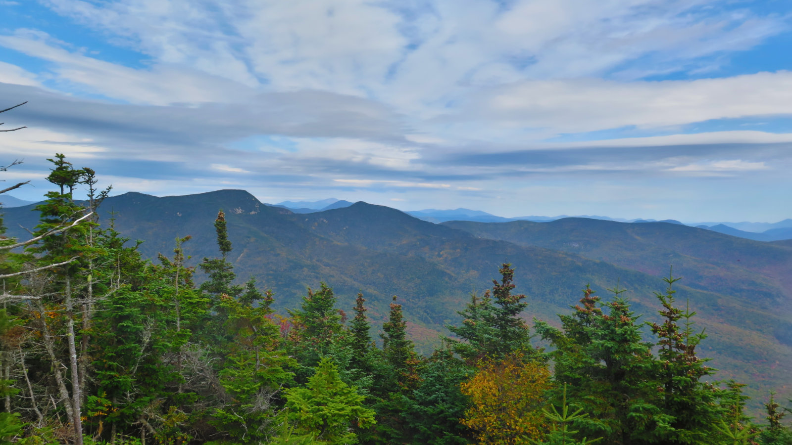
We gazed at the far off peaks — Washington, Carter Dome, Tripyramid. It’s attenuated, for sure, but it’s still a fine view. I think it’s magical to look down and see the entirety of the town of Waterville Valley down below. And then it was clear that we should head down. Through the trees on the opposite side, we could see the approaching rains. It wouldn’t matter: not even halfway down, we felt the first drops. But we had new companionship, from a woman from Massachusetts, and so friendly conversation made the hike out quick, and the wet a lot less uncomfortable. Before long, we were back at the car.
This is a mountain that remains a good day out. It was my first of the 48, and on that basis alone, it occupies a special place for me. I have a sense that if it falls off the list, it’s going to see a lot less traffic, and unlike something shorter like Chocorua, it’s not got the all encompassing view to make it more attractive. Very well, I’ll hike a somewhat obscure peak and avoid the crowds. It might not be a 4,000 footer for much longer, but that doesn’t matter to me. It’s still a fine day out.
Nuts and Bolts: From 93, take exit 31, which is for Tripoli Road. Follow the road and before long, it goes from a nicely paved surface to a “nicely” graded dirt road. (As of this writing, it’s actually in very good shape.) About five minutes later, you’ll pass the turn-off for Russell Pond, and the gate. Go past this. A few minutes later, you’ll see a trailhead sign on the right for the Mt Tecumseh trail. Within a dozen or so yards down that is parking, and the trailhead itself.
Many regard Tecumseh as one of the “easy” 4,000 footers. There’s no route finding. There’s no scrambling. It’s got one of the lesser elevation gains. The water crossing is almost entirely trivial, the trail is mainly smooth. There is some minor rock-hopping, but those are short sections. Nearer the top, the trail does pitch upward a fair bit, but it’s nothing crazy.
NOTE: The gate across Tripoli Road is closed from November to May. Plan accordingly.
ALSO NOTE: This summer, bears have been problematic in campsites along Tripoli Road. A fed bear is a dead bear — once they become habituated to human (read: very calorie-dense) food, which takes no time at all, it’s very hard to de-habituate them. It’s not uncommon for those bears to subsequently be destroyed due to human-bear conflicts. Black bears are beautiful creatures that should be respected, but not feared. They’re solitary animals who prefer to be left alone — contrary to most people’s fears, we’re not on their menu. Very importantly, they’re crucial components of a healthy forest ecosystem. Do your part: keep your food and snacks well policed, and pack out all waste. Keep wildlife wild.
If you enjoy reading these posts, consider subscribing. Your email will only be used to alert you of new posts — typically 1-2 times per week. I will not use or share your email for any other purpose without your express permission.

2 thoughts on “Trip Report: Mt Tecumseh, post 4k edition”
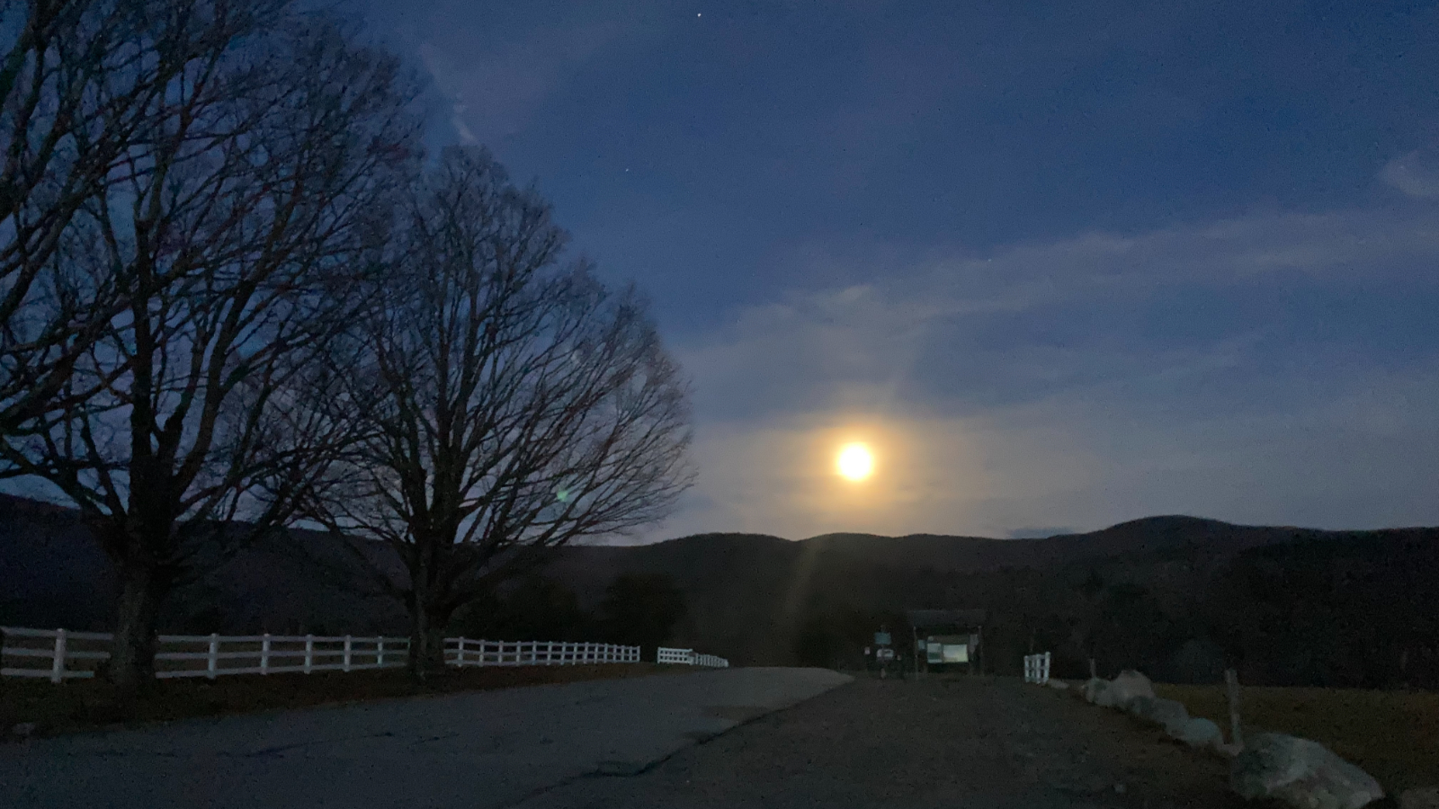
Amen on Guyot! We saw the sunrise and the full moon set there when we finished the 48. What a beautiful place! We liked “the back way ” to Tecumseh as well.