A perfect day for two!
Mt Liberty and Mt Flume, Lincoln, NH. 2018-10-10. (Wednesday)
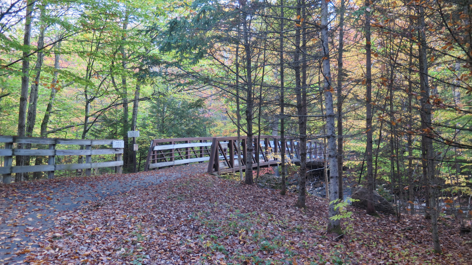
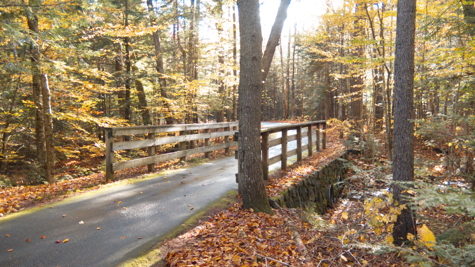
Via Whitehouse Trail, Liberty Springs Trail, Franconia Ridge Trail. Approx 8.7 miles.
60 dF +/- at the trailhead, 70 at the summit. Clouds giving way to partial sunshine. Wind at summit was 2-4 knots. Just enough to keep the humidity in abeyance.
Trailhead: 0900; Liberty Summit: 1145; Flume Summit: 1300; Liberty Summit redux: 1400; back at car: 1630.
It was a fine day out. Unlike the audacity that was hiking Katahdin, hiking Liberty and Flume needed no further explanation. It was one of those rare New England Indian summer days. Temps were forecast to be almost summery, and although clouds held sway for most of the day, by mid afternoon, Mr Blue Skies had made a sincere appearance.
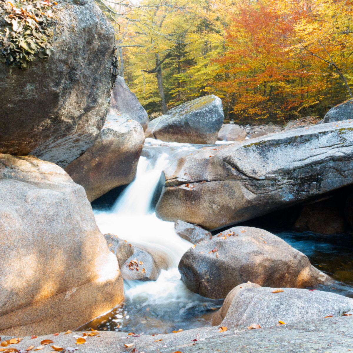
Owing to the cool nights, and the relatively humid day, the trail was “sweaty”, but apart from that, quite passable. My trip in the snow in March was eased by the fact that I snowshoed over the rocks in the trail, but overall, I made good time to the summit the other day, despite the somewhat rocky terrain. And what could possibly be wrong with an autumn hike in the Whites?
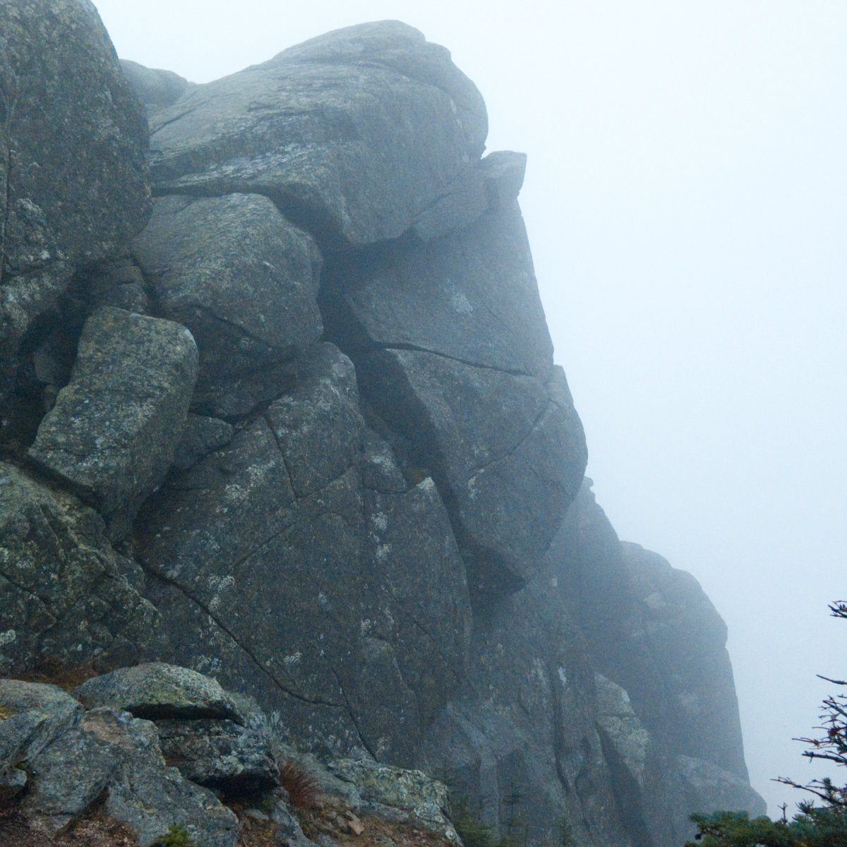
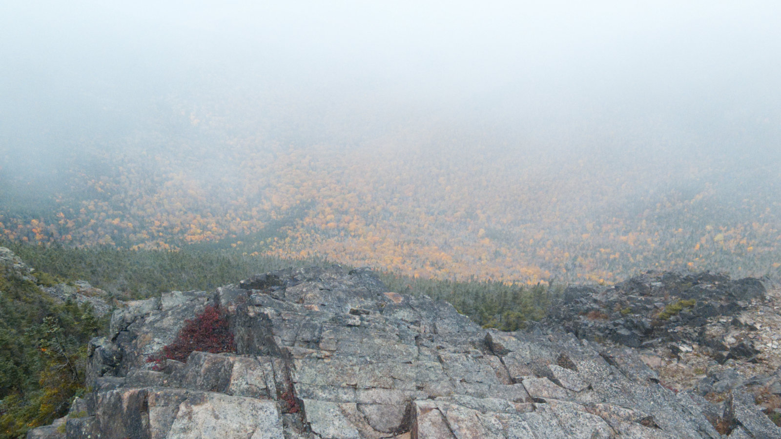
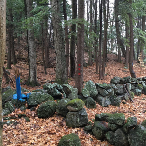
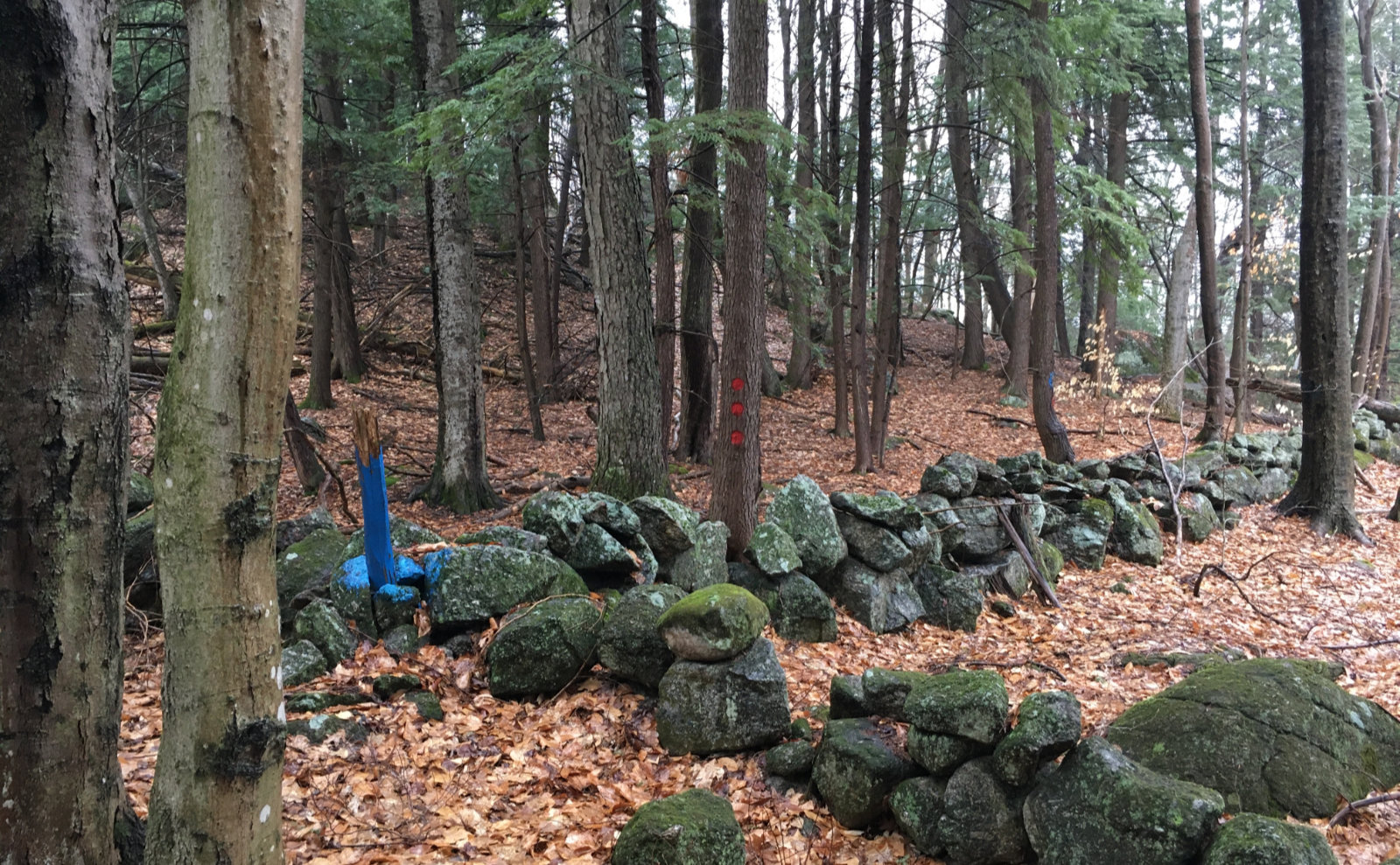
When I crossed Liberty’s summit the first time, it was pretty cloudy, and although I could see the yellow leaves of the trees below, they were hazy, to say the least. I turned to the col and headed down and across. In the trees, it was cool and fresh, and the air smelled clean.
On Flume, the view was… abbreviated by trees. The clouds were thinning, so that’s OK. I couldn’t hear the road noise, and by then, the sun was beginning to poke through the clouds in a real way, which felt nice.
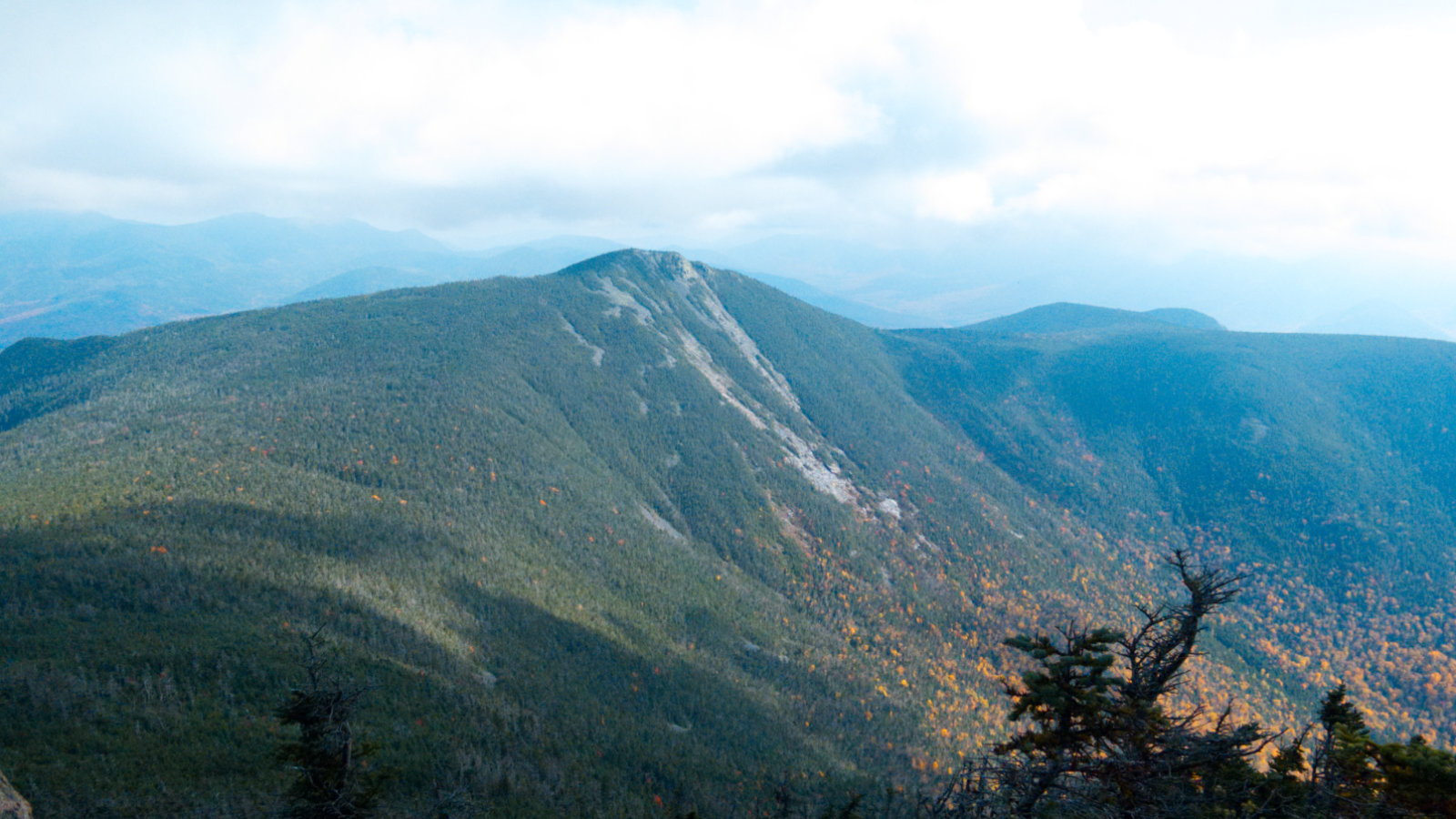
The view from Liberty on the way back got quite good — not perfect, because there was a thin, gauzy haze, but there was no question when I spied the nearby peaks: Cannon, the Kinsmans, Garfield, Owl’s Head, South Twin. Hancock, Osceola, and Bond. The light was challenging, so my photos didn’t come out the way I wanted. But maybe that’s OK: life should be experienced sometimes, not just viewed through a lens. Suffice it to say the foliage delivered as it historically always has, and that image got burned into my mind.
I’m going to let the photos tell the story from here. Without any further ado…
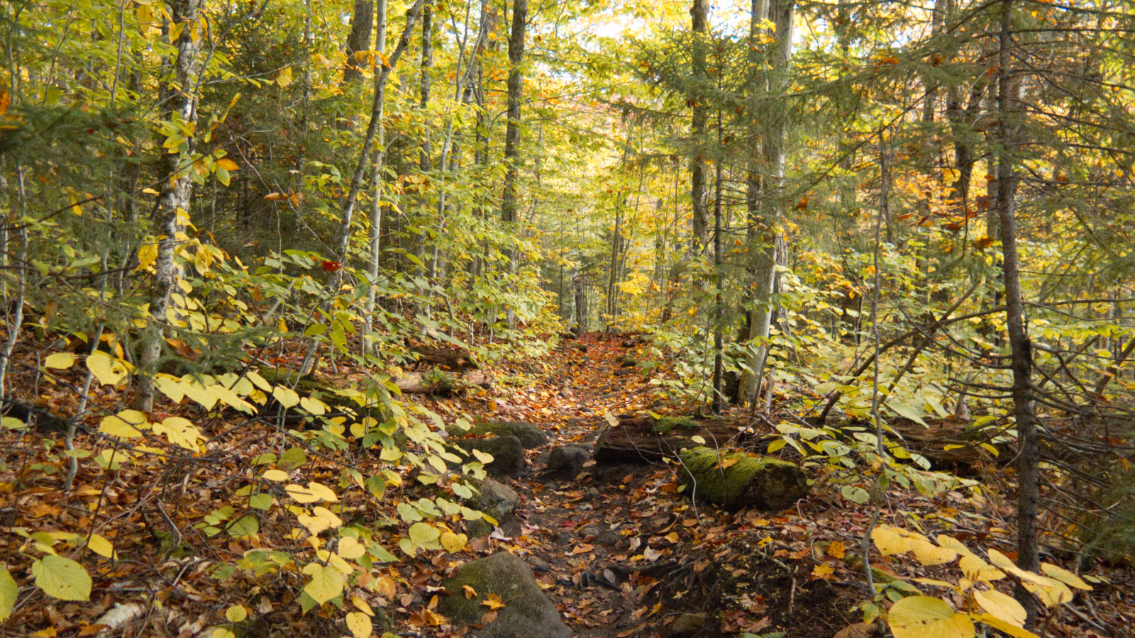
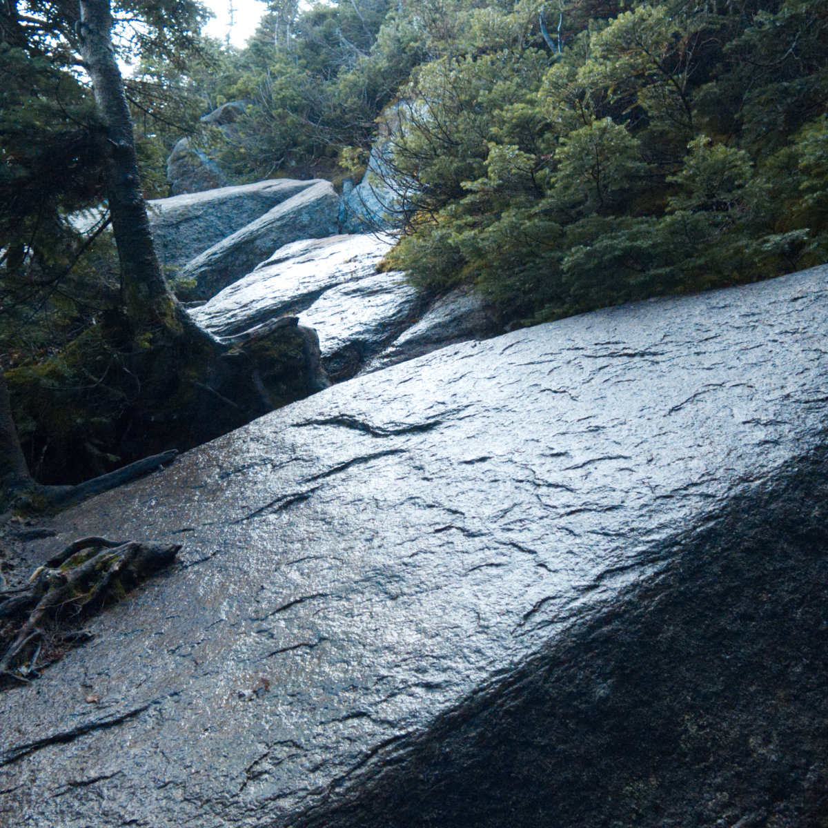
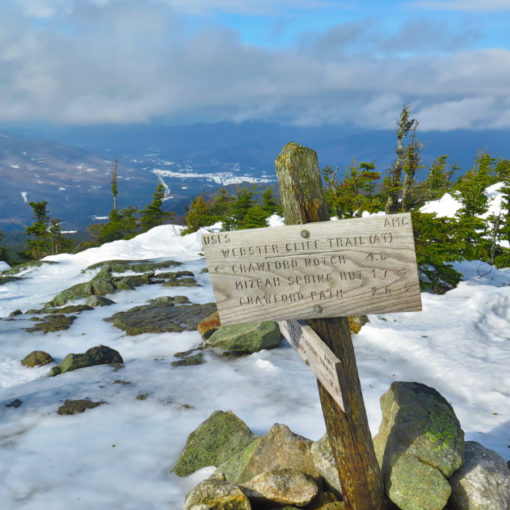
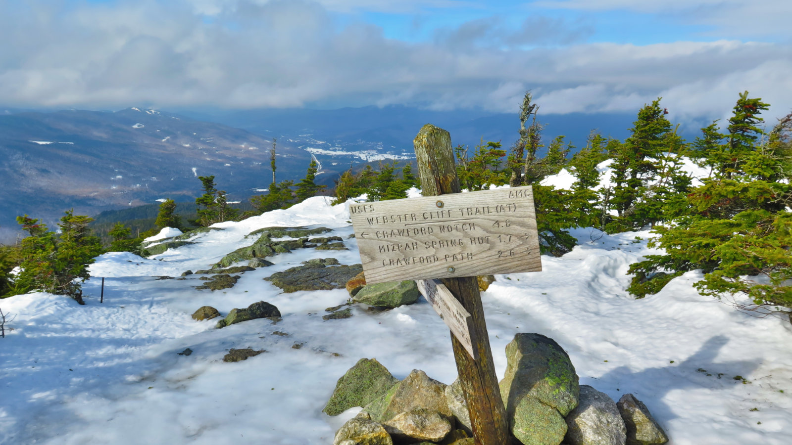
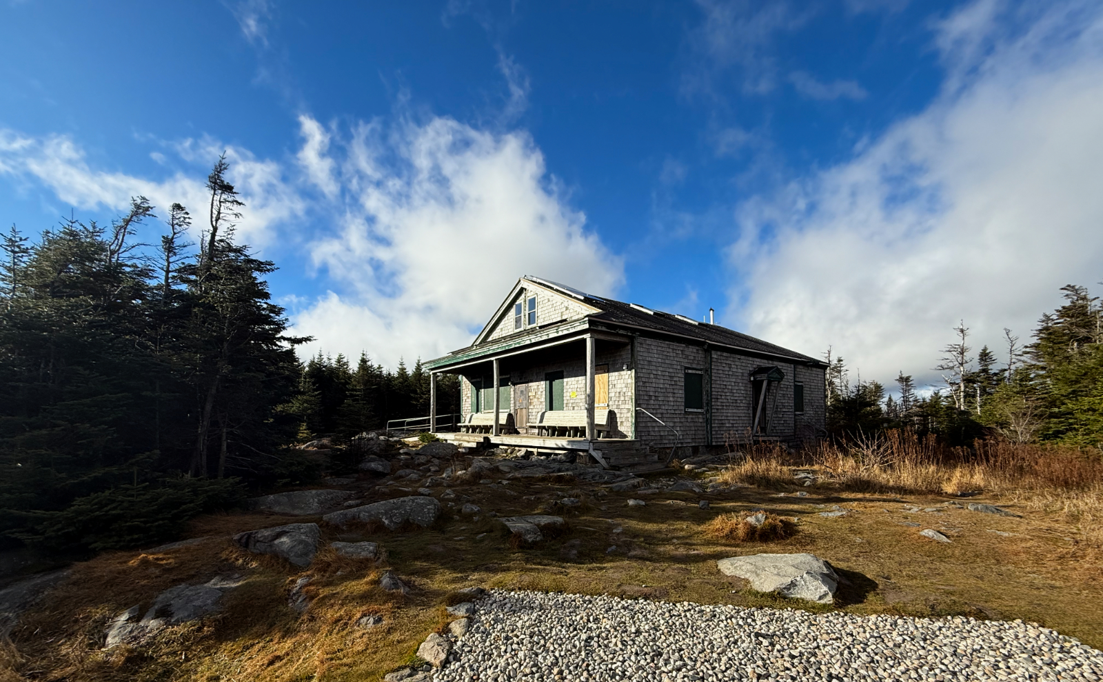
Nuts and Bolts: About half the Liberty Springs Trail is fairly easy going, over packed dirt, but the other half involves some measure of rocky trail. While not nearly as rough as Guyot, or the Northern Presidentials, it’s still enough to warrant taking care lest one twist an ankle. Much of the trail ascends fairly quickly, and the col between the two peaks ditches about 500 feet in its 1.5 miles, so be ready for some measure of exertion. Still, in comparison to many others on the 4,000 footers list, these two are probably on the easier side. And from Liberty, at least, you can’t beat the views.

2 thoughts on “Trip Report: Mt Liberty, and Mt Flume”