Thoreau Falls, Lincoln, NH. 2019-09-07. Via Zealand trail, Ethan Pond trail, Zeacliff trail, Twinway. Approximately 11 miles. 7 hours, with a lot of stops along the way.
70 degrees, mostly sunny to start, with overcast skies in the afternoon.
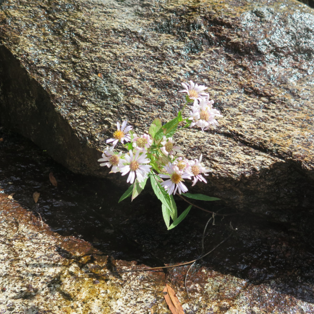
Can nothing become something?
Somewhat unexpectedly, I ended up with some free time, and came up with the idea of staying low in the Whites. I’d been looking at maps of the old railroads, and just tracing the contour maps in general lately. Something about just noodling around gripped me. Without knowing it, I was setting myself up to have a very memorable time. Indeed, I hadn’t felt this way in a while. There was a tangible sense of anticipation. I was giddy.
I started out at Zealand trailhead, which was unsurprisingly busy. On the plus side, we’re past Labor Day, so there was parking to be found. Being a short hike from the AMC Zealand Falls hut, it wasn’t surprising that this was a popular place to be on a late summer weekend morning. I hiked along the easy grade of an old railroad bed — that of the storied JE Henry’s Zealand Valley Railroad, which operated in the late 1800s — past meadows and ponds, over small wooden bridges, with Mt Tom in the distance. Beyond the AMC hut, I’d follow that same rail bed throughout most of the afternoon, as it turned out.
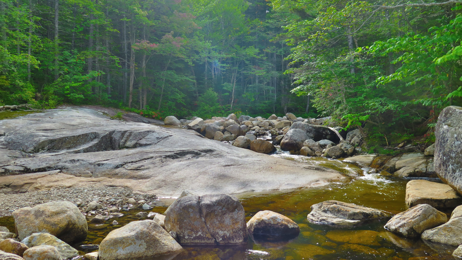
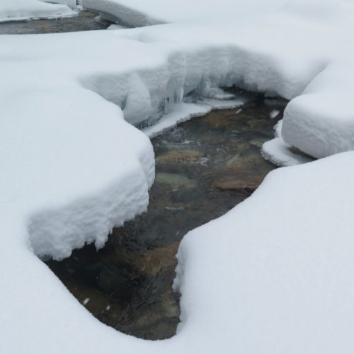
After a short upward climb, I came to Zealand Falls. Disregarding the hut, I walked up the gentle cascades for a bit, taking in the hydrology, gazing at the changing shape of the rock as it was carved by years and years of water flowing past. Not having the pressure of summit fever, I felt free to just meander as the water, satiating my curiosity. At a point where the Twinway intersected the falls, probably a few hundred yards from the hut, I took the trail back down, thinking that further upstream exploration might be worth another trip someday.
I arrived at the Zealand Falls hut, popped in, and had a delicious ginger-chocolate brownie. Yum! The day, hardly started, was already getting better by the minute. Last time I was here, it was risotto with the croo in the preseason. Maybe this is a trend. On the way out, I glanced at the map, and grounded myself in the area.
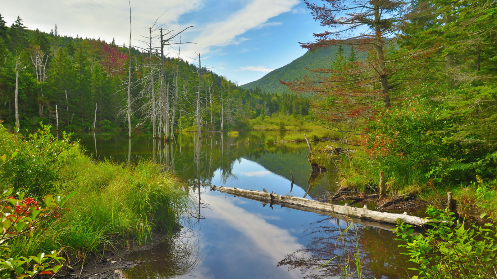
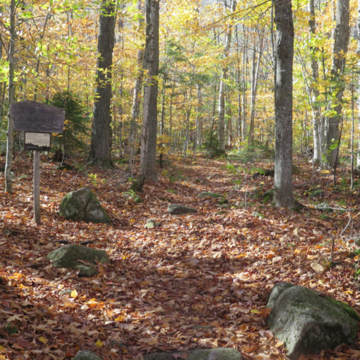
With no concrete plans, and only the barest idea of what could be, I ambled on down the Ethan Pond trail, looking for what lay around the next bend. It was an exceedingly easy ramble along that rail bed, even though at times, it seemed much narrower than a locomotive. But squinting into the bush, sometimes I was able to make out how things might have been many decades ago, peering back through history. Looking forward, I thought about hiking the AT, and what it must be like passing through here on the way to Katahdin.
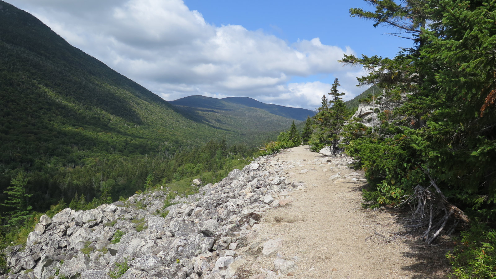
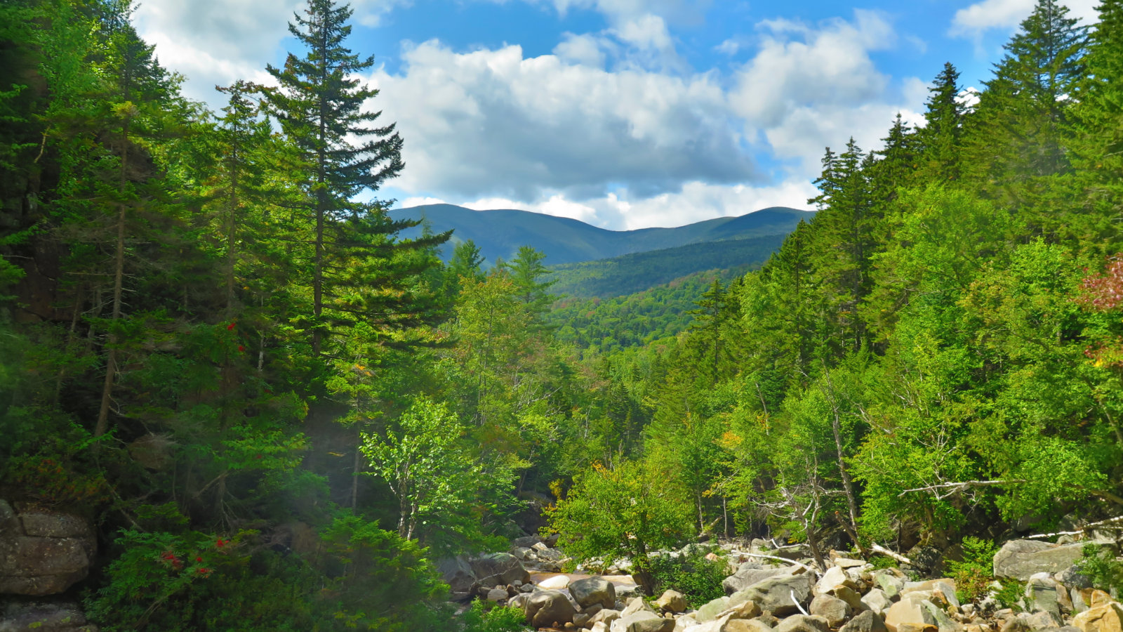
The scenery was majestic. Not far in, the views opened up in spectacular fashion. Mt Whitewall on one side, Zeacliff on the other, a steep sided valley carved out by water and time. Lush forest all around stood in stark testament of the healing power of nature. I try to imagine what it must have been like, walking that same path after the woodsmen felled every tree without any sense of restraint. It gives me the chills and makes me thankful that wiser heads ultimately prevailed.
Whitewall’s cliffs and talus field stood, in bright grey and white, as a counterpoint to the deep blue of the sky, boldly thrusting upward. Wow! On the other side, the lush, verdant slope of Zeacliff beckoned. And ahead, a signpost, bleached by the unrelenting sun: Zeacliff trail dropped down a rocky path that quickly disappeared around a bend. I wanted to follow where it led, but at the same time, I wanted to visit Thoreau Falls. I kept onward to the falls, thinking I could always return. (At that point, I still hadn’t decided whether to keep going further, to Ethan Pond, and perhaps beyond.)
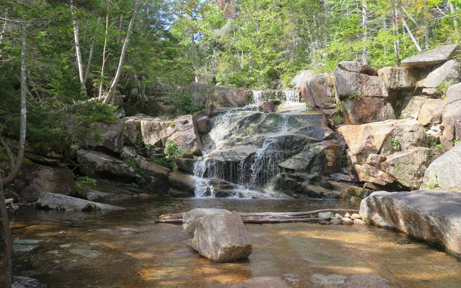
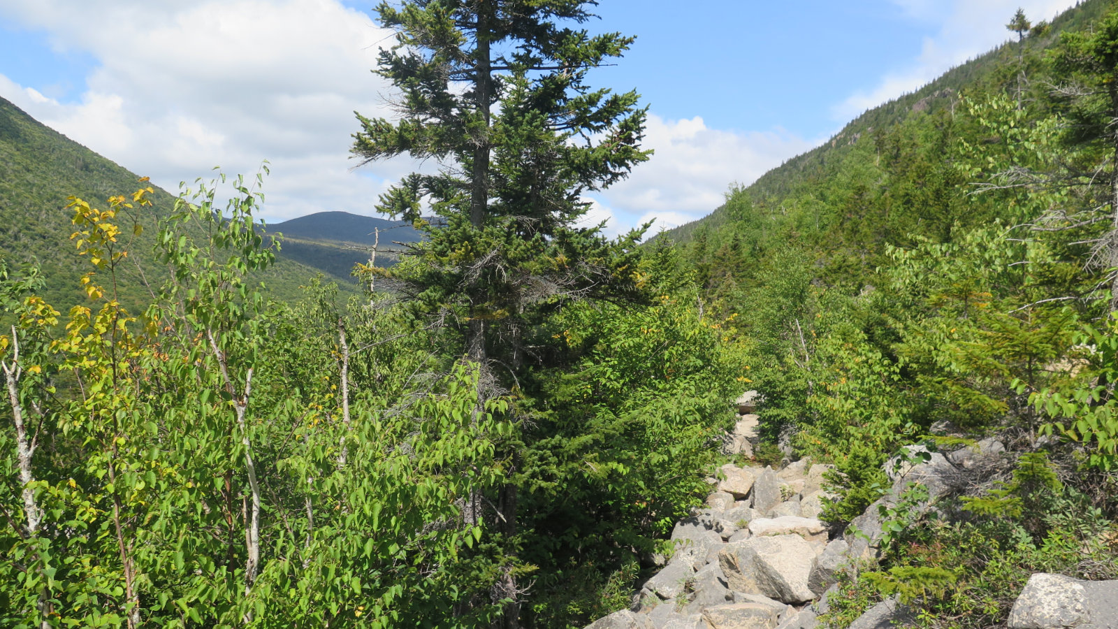
I kept making good time, not even breaking a sweat. The day was standing in stark contrast to most of my days in the Whites. Easy trails, modest grades, the footpath very nearly paved flat. A few pillowy clouds in an azure sky. No specific destination. It was a postcard day, getting better by the minute. I re-entered the trees, and shortly afterward, came upon the Thoreau Falls trail junction. Minutes later, after a mild descent on a bed of soft dirt and leaf litter, the falls themselves.
There were two other hikers enjoying the view. As before at Zealand, I clambered around, finding small eddies and taking in the view from different points. Mt Bond and Guyot were in the distance. The seemingly endless valley walls on either side. There was a comforting sense of isolation — I was in my own little room, tucked away from everything else. The solitude was restorative. Ice cold water babbled over the rock, the air fresh as can be. Time stood still. It was one of those moments that stick in your head forever.
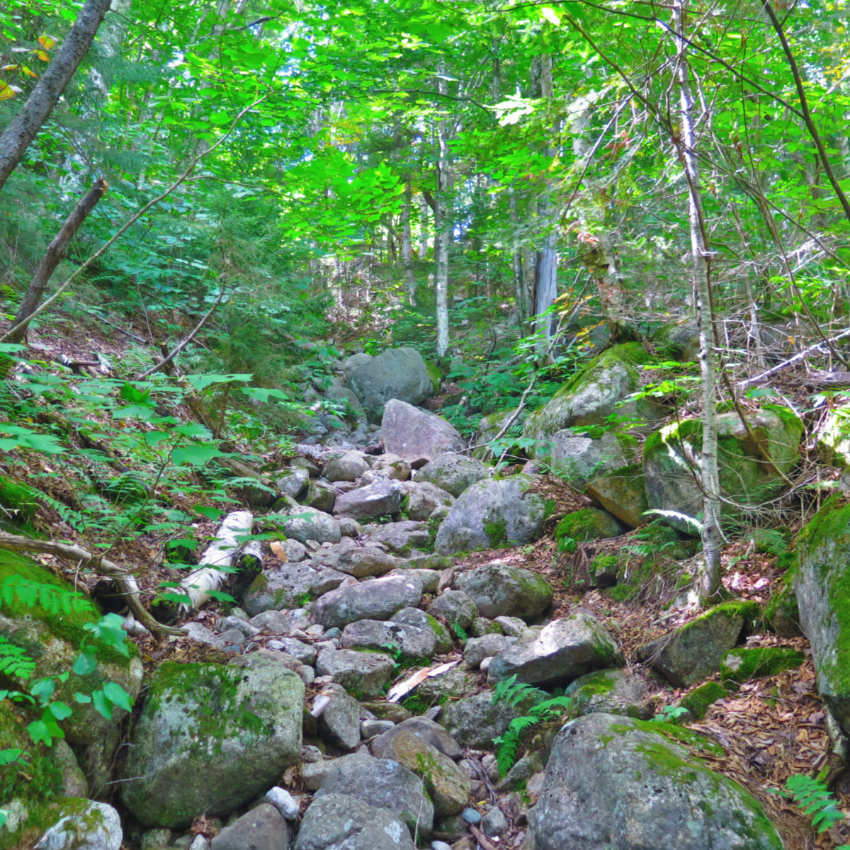
I turned back, and returned to the junction with the Zeacliff trail. The map said 1.4 miles to the Twinway, just above the hut. Unfortunately, the contour interval wasn’t fine grained enough, so I figured I’d be back at the hut in about an hour, and merrily pressed on. Maybe 15 minutes later, I was at the bottom of the valley, having just descended some seriously steep terrain, and turning upward, it quickly became apparent that there was a similarly steep ascent in front of me. Halfway up, I met a descending trail maintenance crew who confirmed my suspicions. I’d have it easier when I reached the “hand over foot” climbing (as opposed to doing that section on the descent) but the trail would still be very strenuous. OK, at least I knew. It ended up taking me a bit more than an hour to do that 1.4 miles. Ouch.
But now, I was on the Twinway. Clouds had moved in, and I’d have mostly overcast skies for the remainder of the day. I hiked to the viewpoint, and met some AT hikers. Frizzle told me about life on the trail, and gave me a few tidbits of advice. I pointed out a few of the peaks, and told him of what he’d see ahead. From up on high, looking down on the Ethan Pond trail, it was blindingly obvious that it had once been a rail bed. We parted ways, and I descended the Twinway. At times, I just laughed out loud. It had been such a great day out. I love those moments.
And then I was back at the hut. People were accumulating. Groups I’d passed earlier in the day were relaxing. The brownies had been replaced with lemon bars, which went well with some hut coffee. I shared some of my day’s experiences with one of the hut croo before heading back.
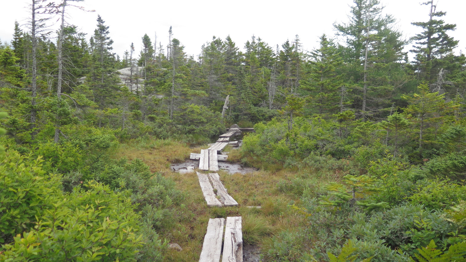
Partway down from the hut, I came across a group of hikers. They’d gone the wrong way down the A-Z trail, and could I give one of them a ride back to the Highland Center? Hikers are generally good people, so this was the question that didn’t need asking. I hiked out with one of them, and we enjoyed delightful conversation as we passed over the wooden bridges, and the bogs and ponds now getting ready for bed. I thought back to the time where I came out with a family, down from Tom-Field-Willey, and a generous soul drove us back to Highland. So this was an easy drive — and the reality is that it took me all of ten minutes. I’m not sure going the wrong way down the trail is a mistake I’d make per-se, but I’ve had my own moments. Thankfully for us all, the trail provides.
On that note… I have a stack of maps three inches thick (no kidding!) and know how to use a compass. I can foresee a day when I break down and finally learn how to use a sextant. But GPS makes it all so darn easy. At the same time, there’s a lot of cognitive retention gained from just staring at a paper map and working it out old-fashioned style. Touching a map makes neural connections. I recommend using GPS, but I also keep a paper map and a compass with me all the time. You should, too. (Heck, the US Naval Academy has cadets learn to use a sextant, which should tell anyone the value of old technology.) It’s crazy to think you’re going to look at an altimeter and identify where you are by contour lines, but at the same time, those lines will help you know if you’re heading uphill or down. Using a compass and reading a topographic map are learned skills, but they can be learned by anyone. If you’re not sure where to start, I recommend buying an old Boy Scout Handbook (or similar) on eBay, get a decent (no more than about 10-20 bucks) compass at your local outfitter, and walk around your neighborhood with a map. Not a lot of cash, and within an hour or two, you’ll have it sussed. ‘Nuff said.
On my way home, the thrill of the day just kept playing back in my head. I started out with few ideas in my head as to where to go. I’m still piecing together where I ended up, but one thing’s for sure, it was a good place indeed. The entire outing had just been one happy accident after another. And that, my friends, is the magic of the mountains.
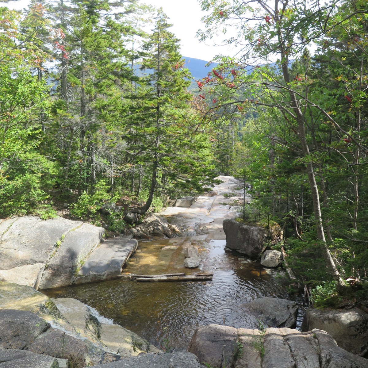
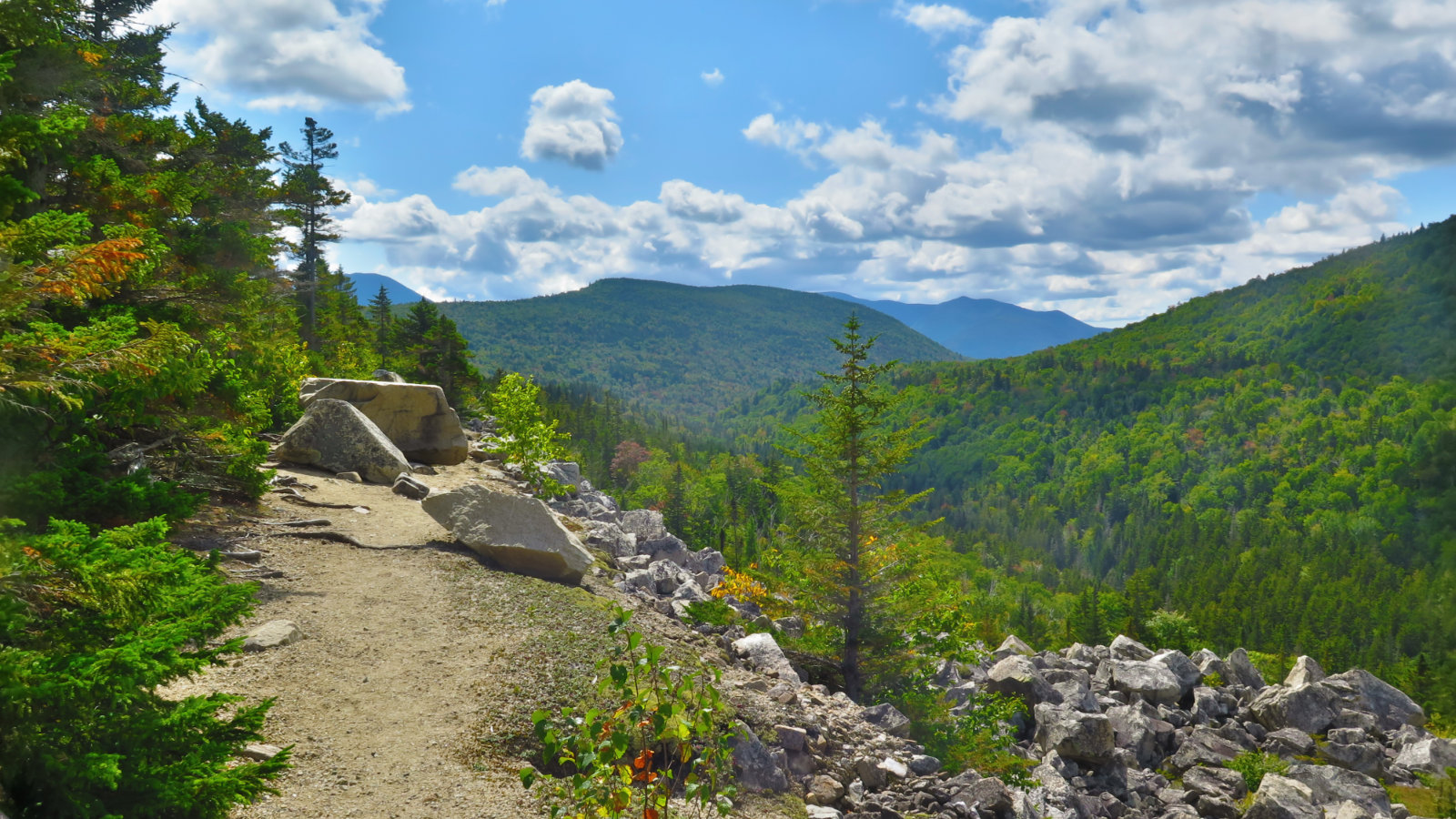
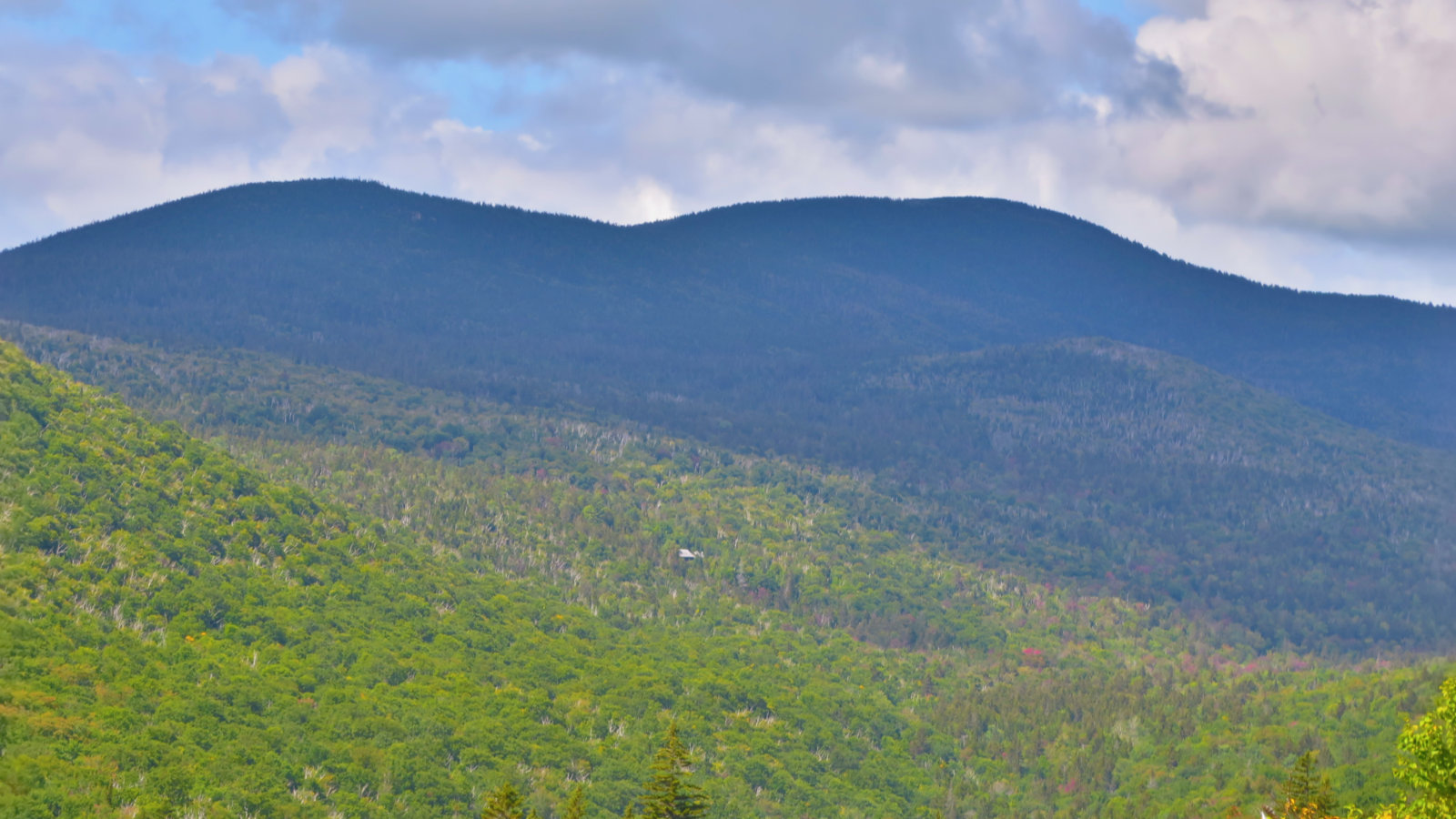
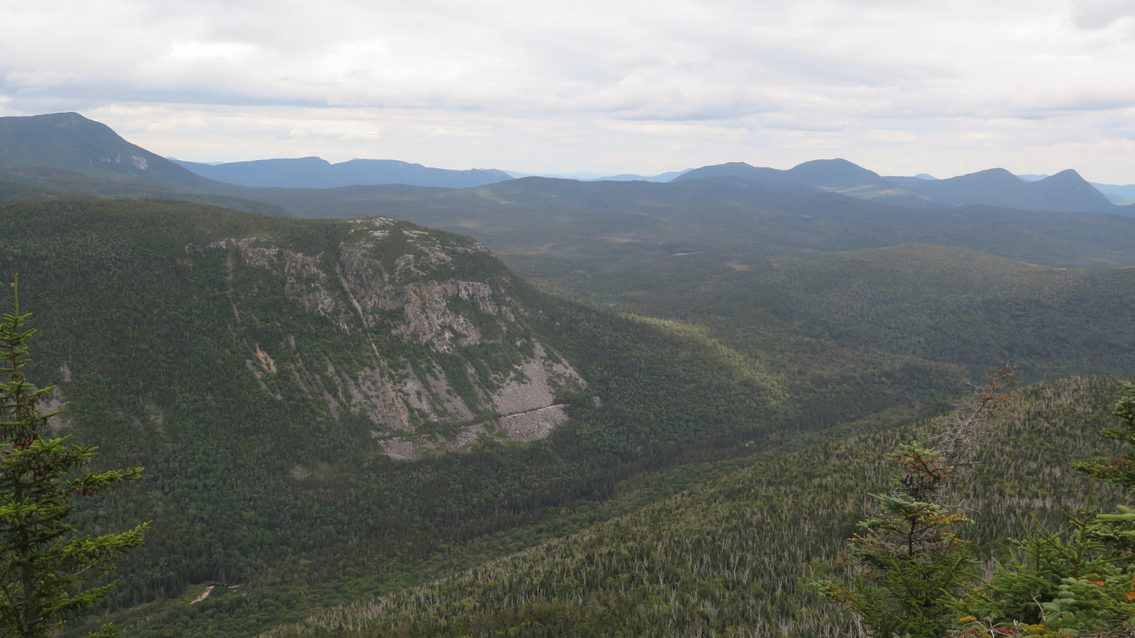
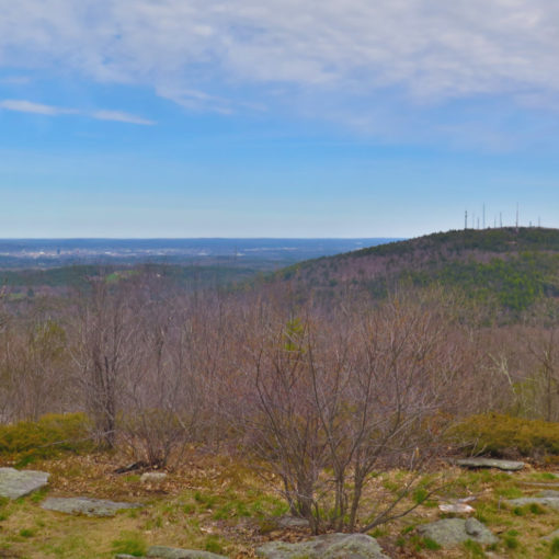
Nuts and Bolts: Overall, this wasn’t a tough hike, with the single exception of Zeacliff trail. If you’re not redlining, and don’t want a strenuous outing, feel free to skip that one. Otherwise, the trails were very well maintained and on fairly easy grades for the most part. Approaching the hut, the grade does pitch upward fairly robustly, but the footing is good. It’s mostly just a stair climb that goes on for several minutes. Ethan Pond trail’s grades are fairly minimal for the most part through to Thoreau Falls. The Zealand Valley Railroad literally came in from the trailhead, turned left, and went out the Ethan Pond trail, so expect footing and grades that are similar to those found on the Lincoln Woods trail. The photo of Whiteface Mountain’s talus field should give you an idea of Zeacliff trail. It’s not obvious, but it makes a fall-line descent, straight down the valley from Ethan Pond trail, and then you’re doing a fall-line ascent on the other side until you hit the Twinway. Terrain is, overall, very rocky, with some serious hand-over-foot scrambling in places. Twinway is fairly easy going, as you’re on the downhill to the hut at that point. Discarding the Zeacliff Trail portion, the remainder of this hike was quite easy, and could very well be considered family-friendly. Not just once have I seen kids young and old tearing up and down the Zealand trail. Adapt mileage goals to the peculiarities of your party and enjoy.
To the trailhead, take Route 302 in Twin Mountain, and about 2 miles on the right is the sign for Zealand. Turn at the sign, drive past the campgrounds, and about 3 1/2 miles later, you’re at the trailhead. Note that in the wintertime, the gate’s closed, so you’re taking that last 3 miles on the hoof.
If you enjoy reading these posts, consider subscribing. Your email will only be used to alert you of new posts — typically 1-2 times per week. I will not use or share your email for any other purpose without your express permission.
8 thoughts on “Trip Report: Thoreau Falls”
Zealand Falls is up a bit from when I was there with PT last month. It hadn’t rained in a while, so the falls weren’t as spectacular as usual.
I’m happy with what I saw. There had been a rain storm the night before, so while it wasn’t what the flow would be in springtime, I think it still put on a good show. More than anything, I was captured by the sense of isolation. Once past the hut, I saw only a couple other people out to the falls, and on the Twinway, it was a handful of AT hikers, not tourists. Glad I waited until after Labor Day.
I just “discovered” your website. Your photos are stunning. What kind of camera do you use?
Thanks! I just use a Canon point-and-shoot. Minimal editing — mostly cropping and adjusting the file size — because I want to keep that side of things quick and simple at the end of the day. If the colors are particularly blown, I might try making simple adjustments, or I might just give up on that image. For every shot that makes it in my blog, there are about 15-20 that don’t for various reasons. I realized I can take a lot of time trying to get the shot right in-camera, which ends up adding a lot of time to my hikes, so I try to see the shot before I even take my camera out. If it doesn’t look like I can make something out of it, I just keep walking.
Consider subscribing! I’m in the mountains weekly, and I post after every hike.
Take care!