Mt Tecumseh (3,997 feet). Waterville Valley, NH. 2020-07-30 (Thursday.)
Via Tecumseh Trail. 2,300 feet elevation gain, 2.5 miles to summit. Descent was via Sosman trail, 0.5 miles from summit to top of ski area, then follow down ski trails to re-join Tecumseh Trail around mid-point, likely adding a modest amount of distance. (There’s probably some way that, with a little bit of trigonometry and some back-of-the-envelope math, I could calculate this, but not at this hour. Budget a quarter mile and about fifteen minutes, and you’re probably close enough for government work.)
80 dF at the trailhead, 80 dF at the summit. Winds were negligible throughout. Initially clouds with a bit of sun, then some rain on the descent from a fast moving squall.
Trailhead: 1230. Summit: 1400. Car: 1600.
Tecumseh, you’re still great
There was a moment this afternoon when it washed over me: this was #1 on my first run through the 4,000 footers list. And there were scenes that replayed in my head, as clear as if they’d happened only yesterday. One of the things that really struck me was the sense of accomplishment from doing that first hike. Of course, I had no idea what would come of it…
And still, there’s the fact that it’s officially six feet shorter than before the most recent surveys corrected the old ones. It felt right, the last time I was here, to think “to heck with that. This is still a fun hike.” I’m pleased to report that it felt no less right to think exactly that once again. If there’s a problem with hiking this mountain, list or no list, I’ve yet to find it.
The trail still gives a run for your money.
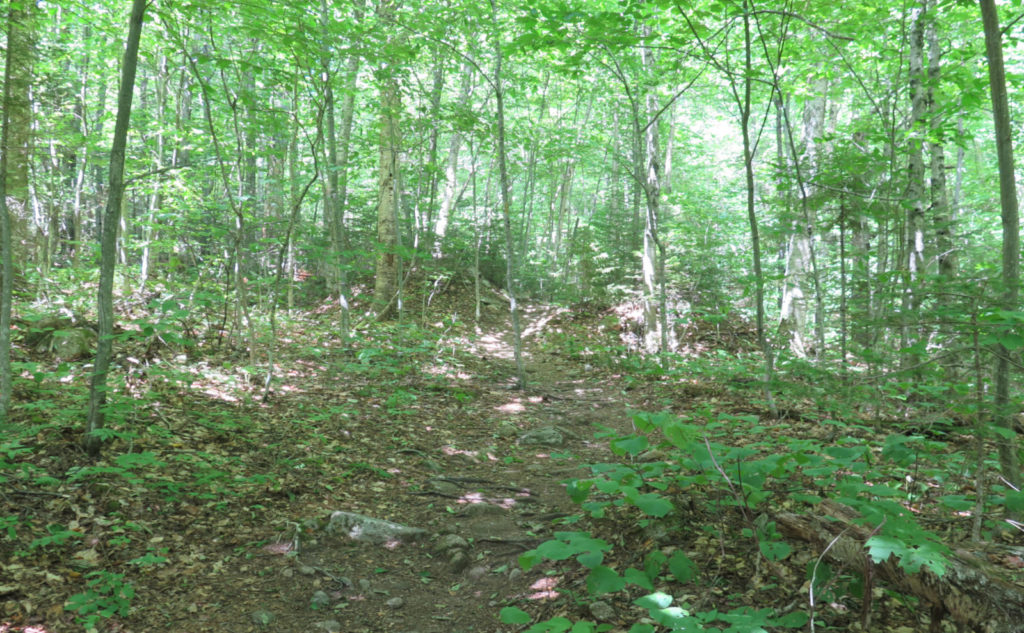
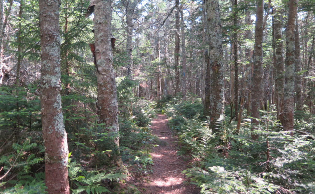
Starting out, everything felt utterly normal. I parked, got my stuff in order, and walked to the trailhead, crossing the brook on the other side with a couple easy steps. Of course there was no snow today, but it played in my head just the same. I passed over a trail that was fairly easy going, covered in duff, making good time. And just enjoying the day. No worries at all.
Oddly, or perhaps not, because let’s face it, July is basically over, I wasn’t seeing much of anything for wildflowers. Boo! The forest was still lush and verdant. Lots of ferns, and the rare breeze gently wafting through the trees. Not a lot going on, just some hiking.
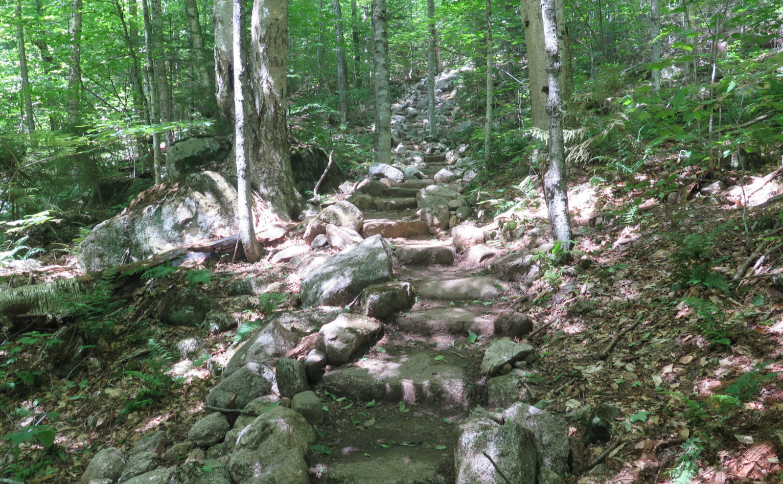
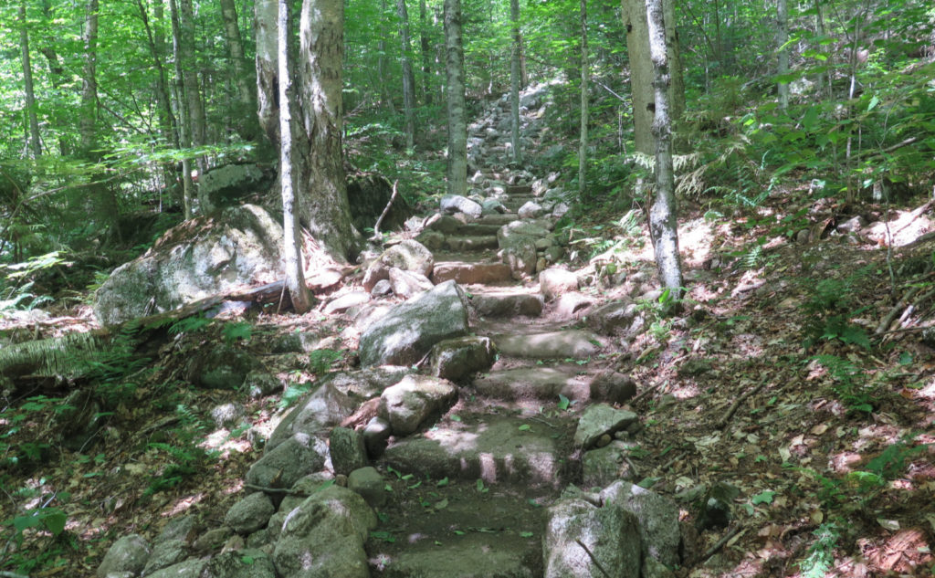
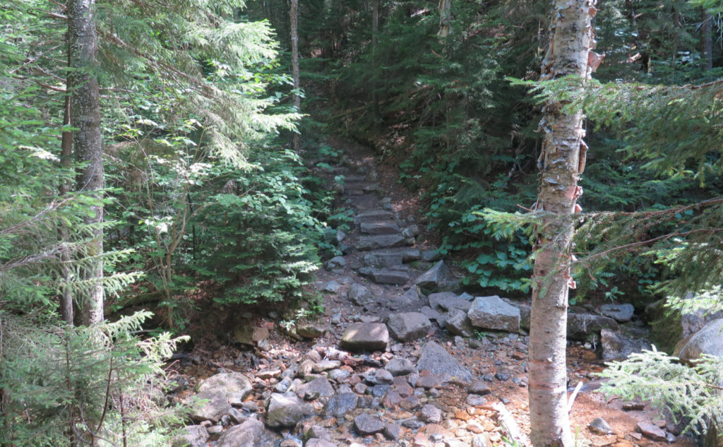
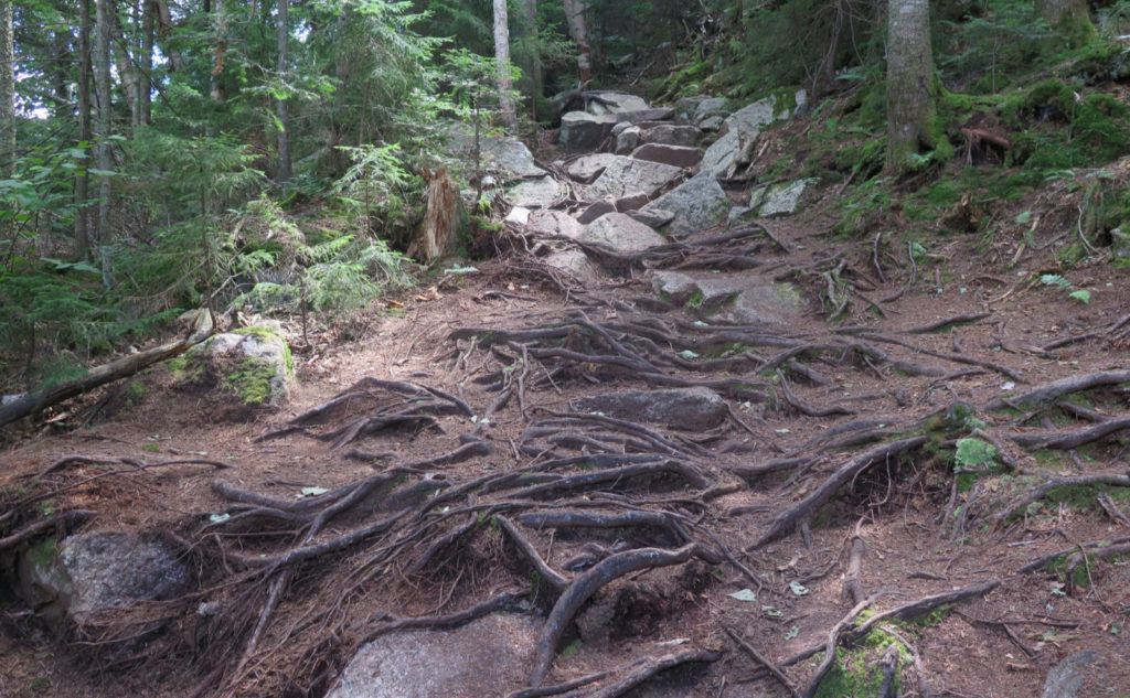
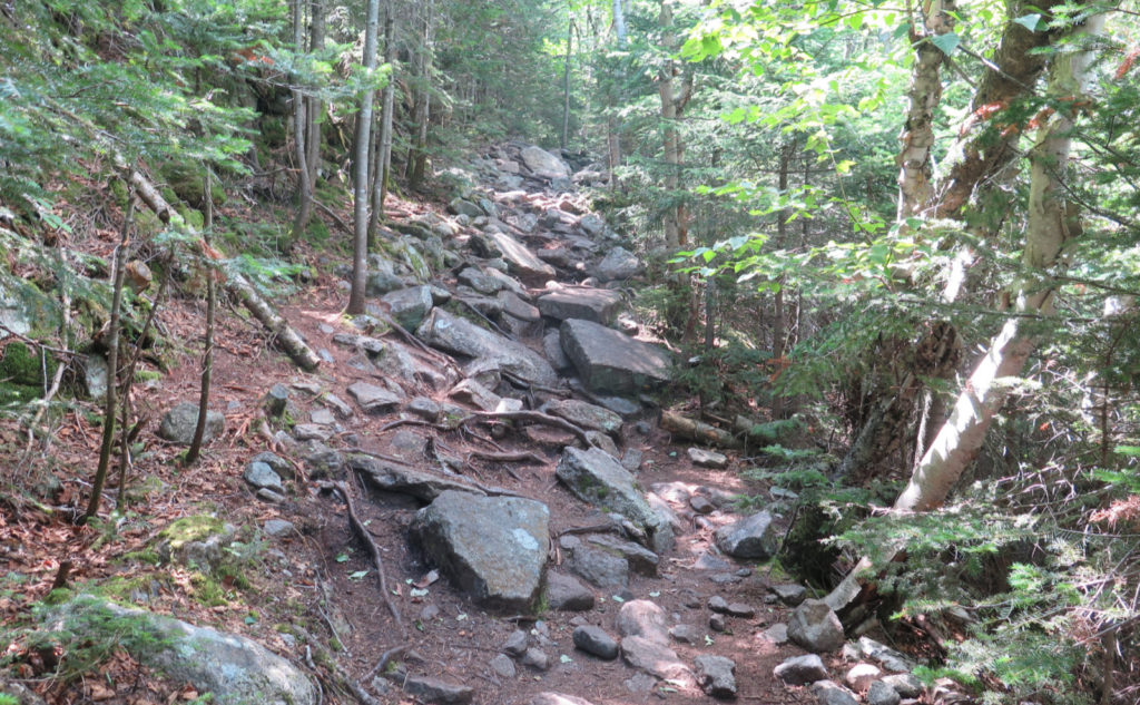
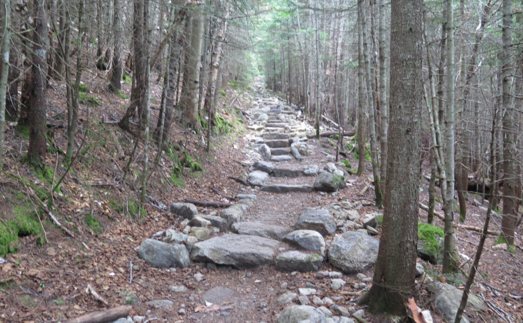
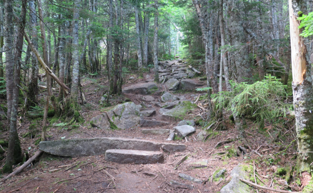
Rocks and roots and stairs, oh my!
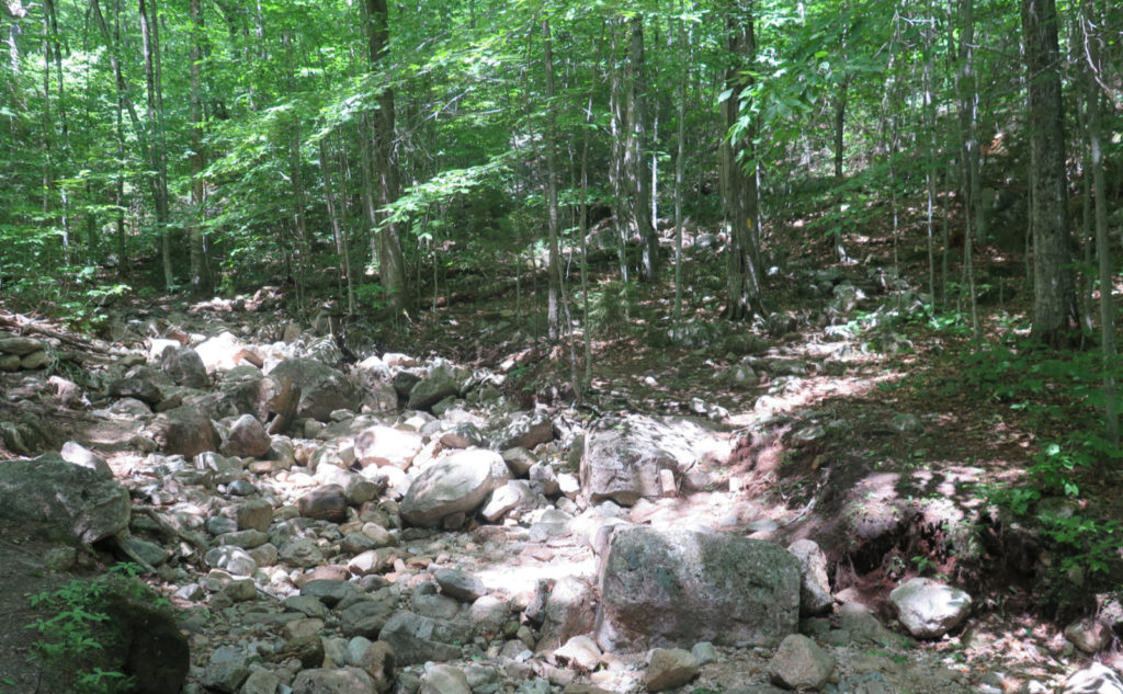
After the second ford of Tecumseh brook, things got much steeper, much faster. That’s not to say the trail got super hard, per se. But I reflected on the fact that it’s neither hard nor easy. It’s a very long moderate ascent, and so there’s some caloric burn going on. Long runs of stone steps reached up along old logging roads. I’m always amazed at the tenacity of those loggers, because they managed to get roads in the most unexpected places.
It was a steady climb, nothing major, just plugging away, reflecting on things going on in my life — work, family, and the other usual stuff. There’s a point where you slip into the dusty spots in your head and do a little cleaning. I was keeping an eye out for anything of note in the woods, but today, that kind of excitement was evading my gaze. No matter, it was still a fine day to be outside on a mountain. More stairs, more up. Onward I went.
Then, the summit, and Sosman.
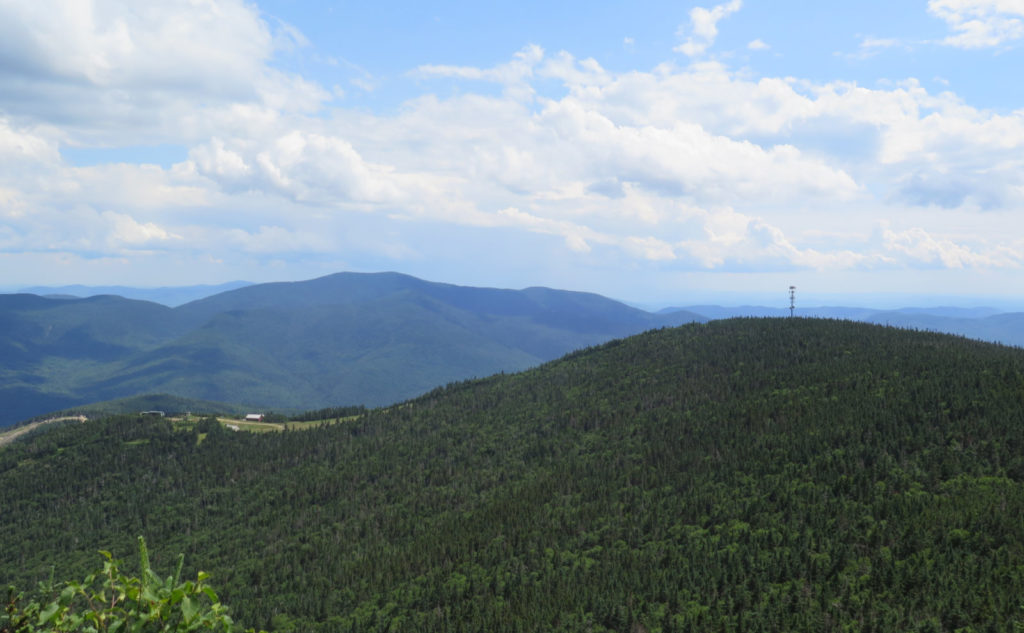
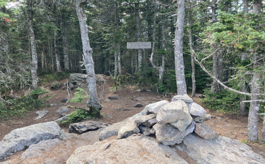
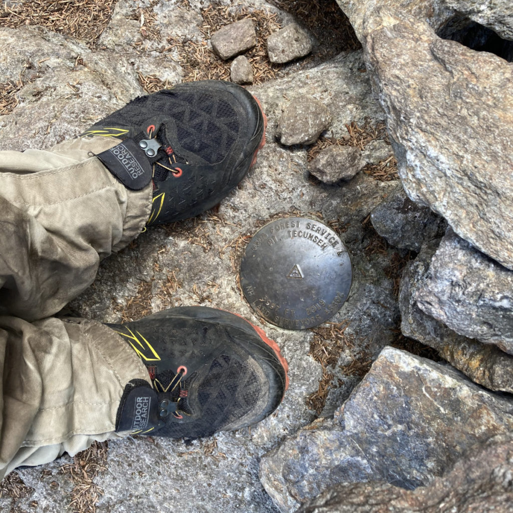
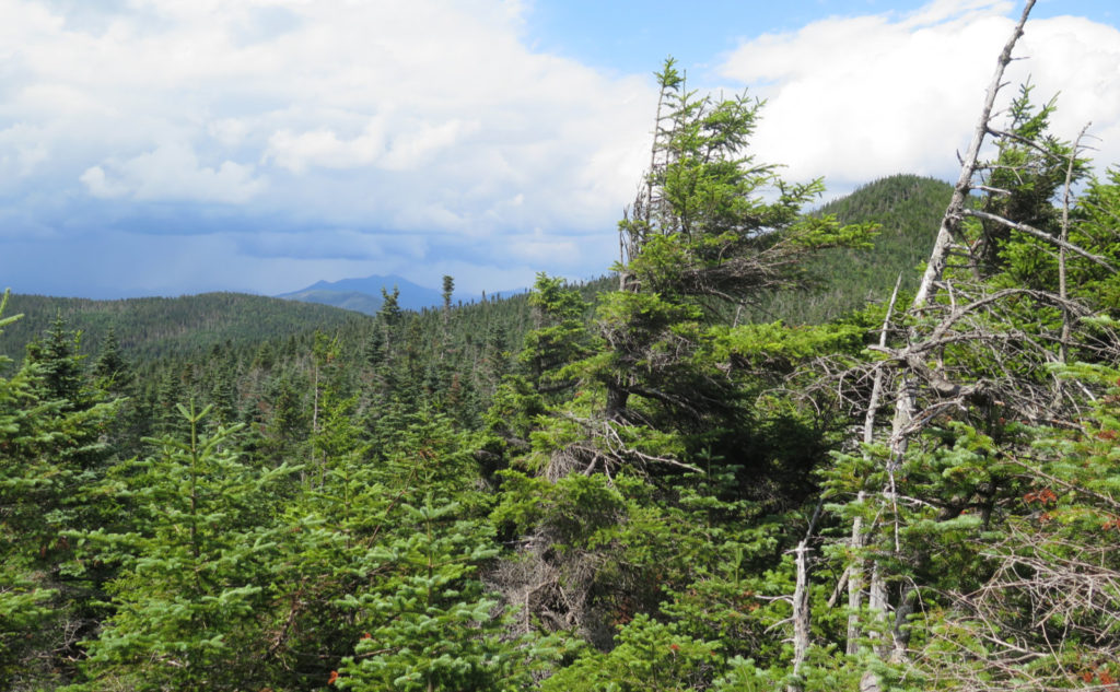
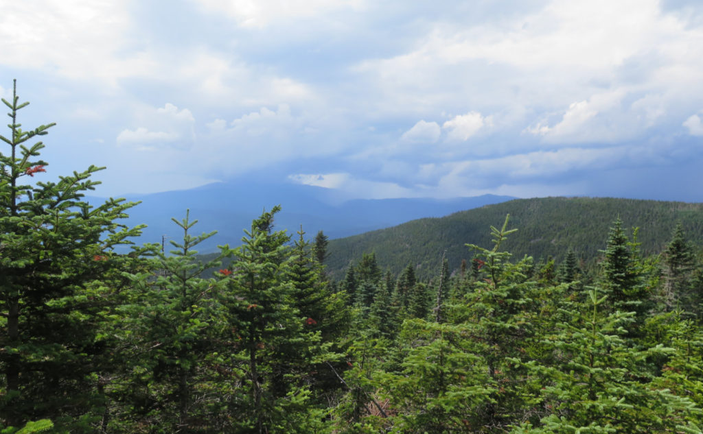
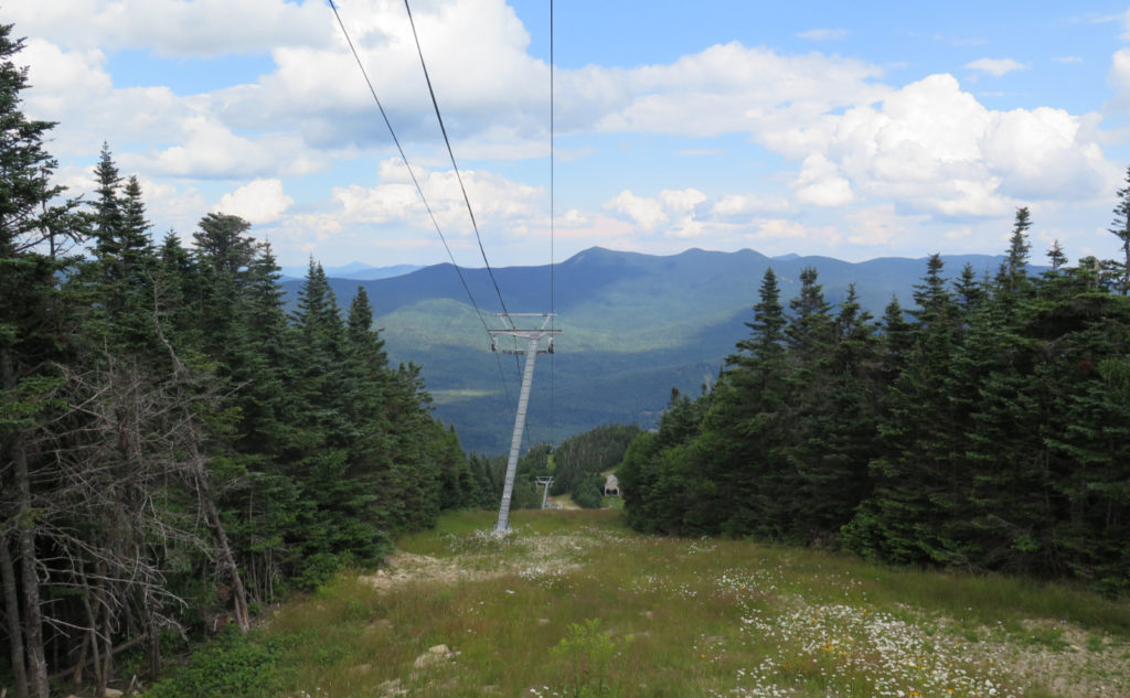
It blew my mind a little that I was at the dual arrowed “Summit” sign sooner than expected. But there I was, and I made the turn to the left. Minutes later, the summit medallion was at my feet. Looking out, I spied Carrigain, the Osceolas, and Tripyramid. Saw out to Washington and Kearsarge North. I went down the other side of the loop, and then found myself back at the Sosman trail junction. Oddly, I’d not been out that way yet. Time to fix that.
It’s a nice add-on. An easy trail across a sort of (but not at all, really) col. Most of the way going was across duff, and the trail itself is as easy to follow as the way up to the summit. Probably ten minutes later, I was standing next to the cell tower. The view of Tripyramid was commanding, to say the least. But on the way over, there were a couple outlooks, and I spied Franconia Ridge and Moosilauke. Or more to the point, rain falling on those peaks. I hoped it would go north, not east. Yeah. No.
What ever goes to plan in the mountains?
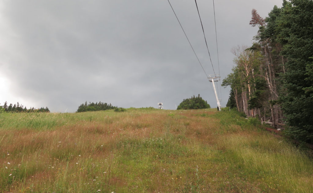
I started down the ski trails, bearing left. My plan was to follow “Tangent” down to “Periphery”, and then re-join the Tecumseh trail at one of the outlooks. And for the most part, that’s what happened, although I found one a bit higher up than expected — which was totally fine by me.
But before I could get there… yeah, those rain clouds moved east by a few miles. And I saw that rain a lot more up close and personal. Heading downhill, I looked back at the cell tower, and that pretty much told the story of what would happen next. OK, can’t stop the rain. I headed down and marveled at how the ski trails had almost wall-to-wall daisies, black eyed susans, clover, cow vetch, and orange hawkweed. So much for “no wildflowers”. My only beef is that it all grows so thick, you have no idea where you’re putting your feet as you descend. First world problems.
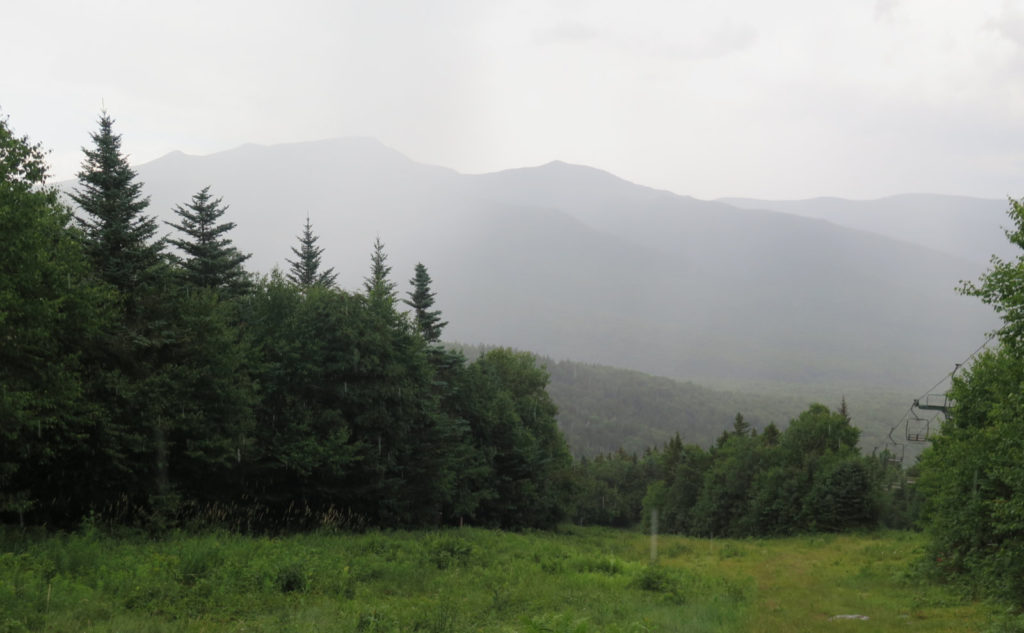
The rain was a classic summertime squall that blows out as quick as it blows in. The only difference was a lack of any real wind. But the drops fell big and heavy, and oddly, very noticeably cold. I donned rain gear, and kept going. Of course, within minutes, the rain gear was superfluous.
Look for the views.
Back at the car, I reflected. I really think the mountain deserves its place somewhere in the hiker canon, regardless of it’s place (or not) on a list. It’s easy to think of it as a summit with no view. After all, there’s no shortage of trees up there — you’d never mistake it for, say, Eisenhower. But there are vistas and there are tremendous views. The rain kept me from seeing into Vermont, but I have no doubt I’d have seen something out there otherwise. (No kidding, I couldn’t see hide nor hair of the Kinsmans — not even Mt Wolf — due to the clouds.) And it was a bit hazy to see real definition on the further summits. But Washington was indeed visible. Off-hand, I bet I saw more than a dozen four-thousand footers, and that with imperfect visibility.
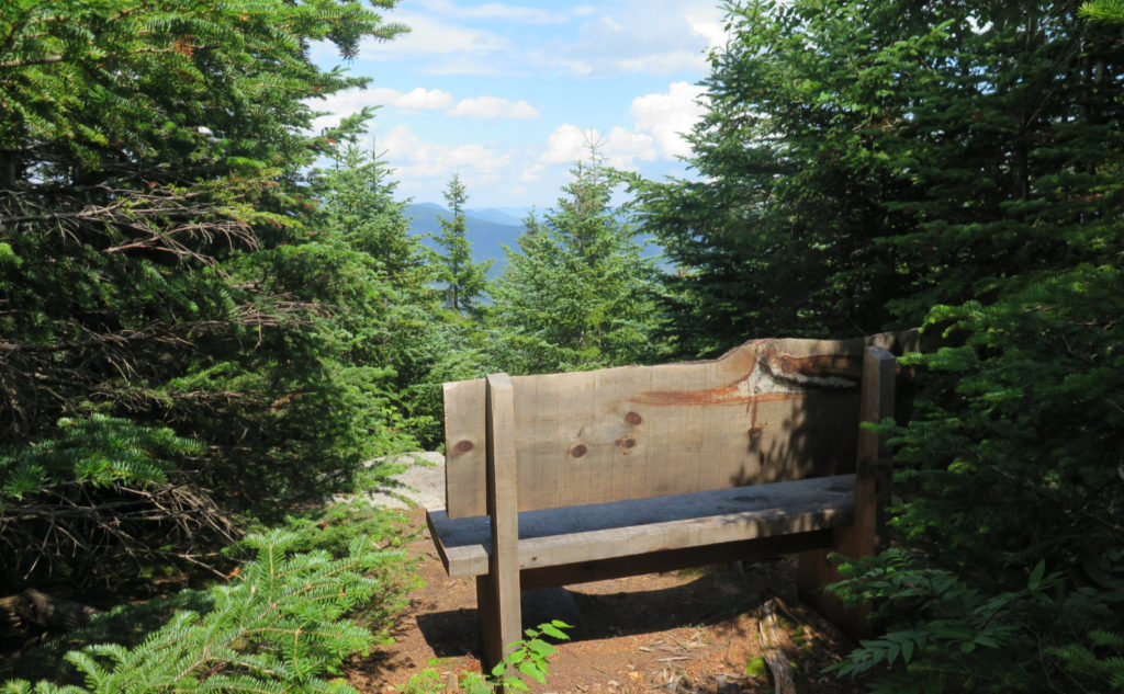
And the trail itself is clement. Yes it’s a workout to climb that constantly for that long. But it’s relatively short: I was done in 90 minutes. So I’m going to keep coming back to this one. Easy to get to, and really, the first one you hit off the highway. Great views. I found solitude on Sosman trail, within steps of the summit. And while they didn’t show up until well into the second act, wildflowers.
It’s all pro. I can’t find any con.
As always, stay safe out there.
Nuts and Bolts: From 93, take exit 28 for NH route 49 and head toward Waterville Valley. In about ten minutes, you’ll see the signs pointing left to the ski area. Inside the ski area, follow the driveway to parking lot #1 and park. As you turned into the lot, you passed the trailhead. Look for the small break in the trees. No kiosk, but there’s a trailhead sign and within half a dozen yards, a small water crossing. The summit is 2.5 miles due up. Blazes are yellow, but the trail is so well maintained, you’ll probably not notice they’re even there.
If you enjoy reading these posts, please subscribe — stay in the loop! Your email will only be used to alert you of new posts — typically 1-2 times per week. I will not use or share your email for any other purpose without your express permission. And feel free to share via social media using the buttons below.
Find me in the mountains, on this blog, or on Twitter: @Protean_Hiker
Check out my observations on my iNaturalist page.
3 thoughts on “Trip Report: Stair Climbing Hike on Mt Tecumseh”
Now go back and do it from the other end! Very Pretty woos walk.
Stay tuned. I like this mountain even more, every time I do it. Never gets old.