Mahoosuc Notch, and Mahoosuc Arm (3,765 feet). Oxford County, ME. 2020-08-06 (Thursday.)
Via Notch trail, Mahoosuc Trail, Speck Pond trail. Approximately 9 1/4 miles point-to-point. Requires a road-walk of approximately 2 1/2 miles without a car-spot.
65 dF throughout the day, +/- a few degrees. Winds were negligible. Sun and clouds throughout. Very clement.
Trailhead: 11:00. Mahoosuc Trail junction: 1200. Approximately 1 hour to traverse “the hard part.” Speck Pond: 1600. The Arm summit: 1630. Speck Pond Trailhead: 1900. Car: 2000.
What does it mean when they say “the toughest mile?”
It probably goes without saying that with so much hyperbole, this was a mile of the AT that I’d have to do. I’d been planning on just doing it the normal way — that is to say, “when I passed through like a regular AT hiker.” But as things went all kinds of sideways with that plan, I had to settle for my other approach: wait for it to grab ahold of my brain and then figure out how to get out and knock it down. With about 3 hours of driving on either end of that outing, it was going to take a little planning.
There was some amount of mystery to that mile. With all the research I’ve done for my still impending thru hike, I’m having a tough time thinking of any resource — video, book, whatever — that didn’t have something to say about Mahoosuc Notch. And yet, everything I’d seen was basically subjective. Like any other storied mile in the Whites, or indeed, New England, it answers only to itself. Like any other storied mile, I’d have to put my own boots on that ground if I was going to know why it was important to do so for so many others. And whether it would achieve similar import to me.
And so, after no small amount of driving, I began.
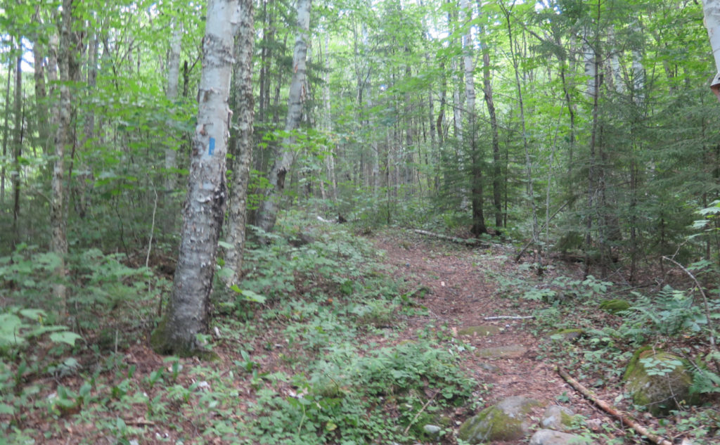
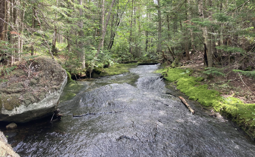
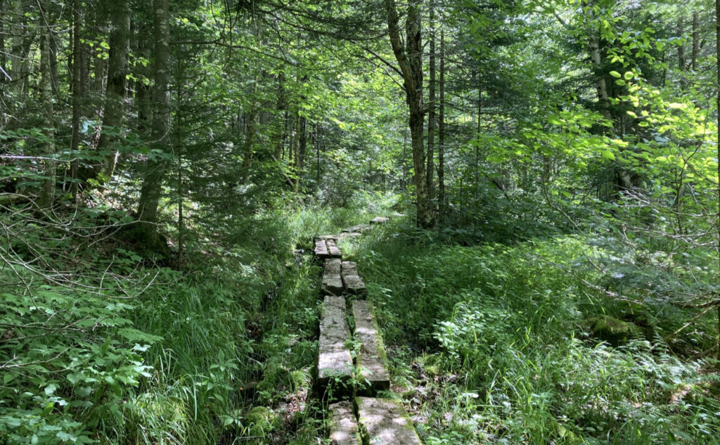
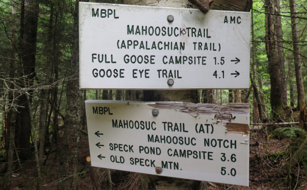
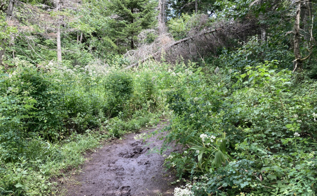
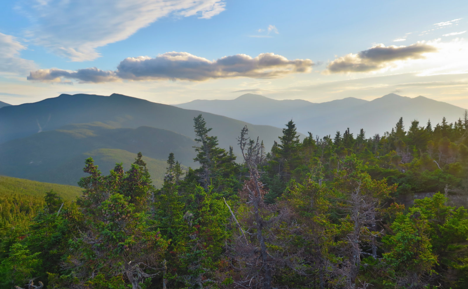
I arrived in Berlin, and made my way to the east side of town. On Success Pond Road, I made my way down a very long dirt road. Around the halfway point, an almost inconspicuous sign pointed the way to the Notch Trail. Half a mile later, I headed down the trail itself. This much was readily apparent: the book reasonably describes the trail. I crossed over easy grades, with simple water crossings, and before long, the junction came into view. That I’m not doing my thru-hike has been digging at me a bit lately, so unsurprisingly, a feeling of being at home washed over me when I saw the familiar white blazes stretching in one direction to Amicalola, and in the other, to Katahdin. Wanderlust tripped happily through my soul.
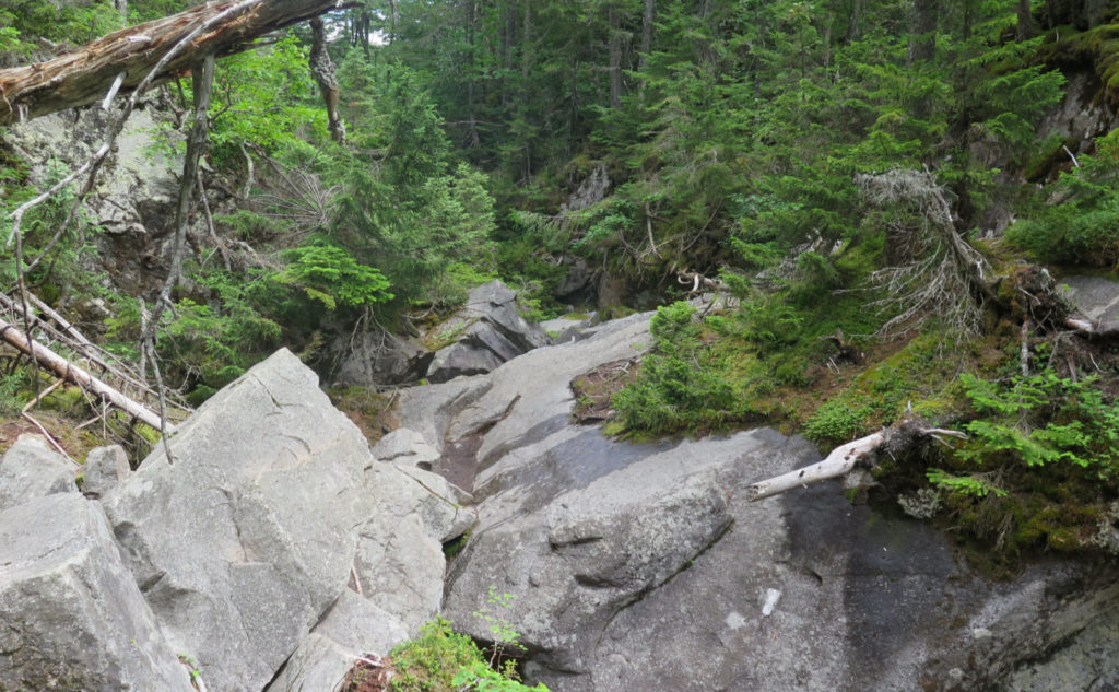
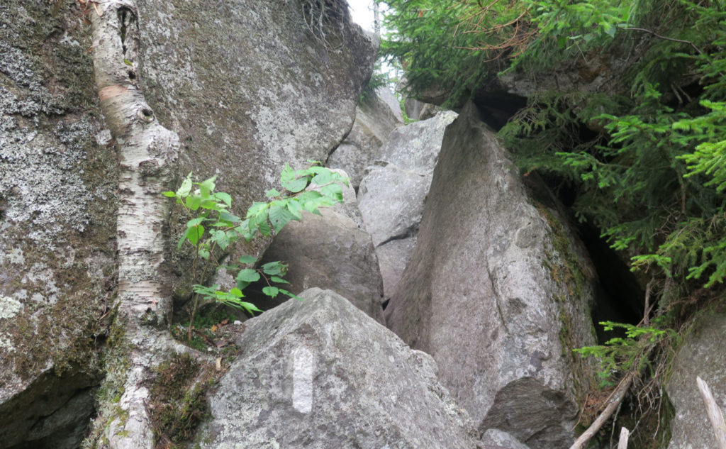
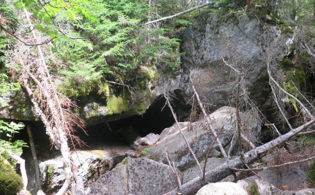
I don’t think I was more than a hot minute down the trail before the notch fired its opening salvo. I can’t recall having been asked to traverse such large rocks, unless I was on gigantic slabs of stone. But here, things were easily the size of white goods, if you were just looking at the boulders that occupied the smaller end of the spectrum. Pressing on, things got surreal.
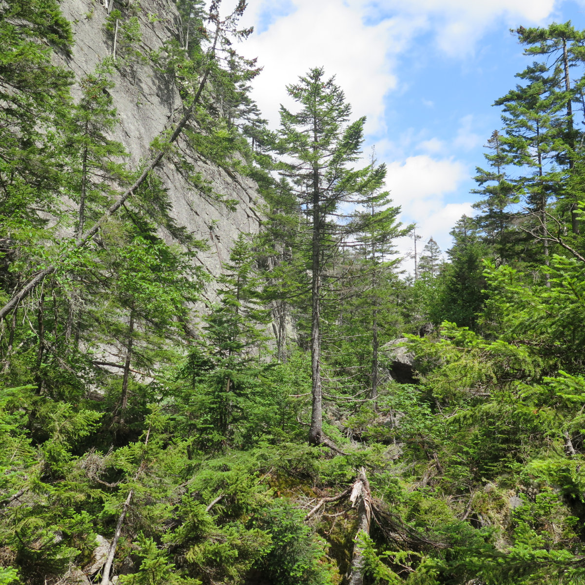
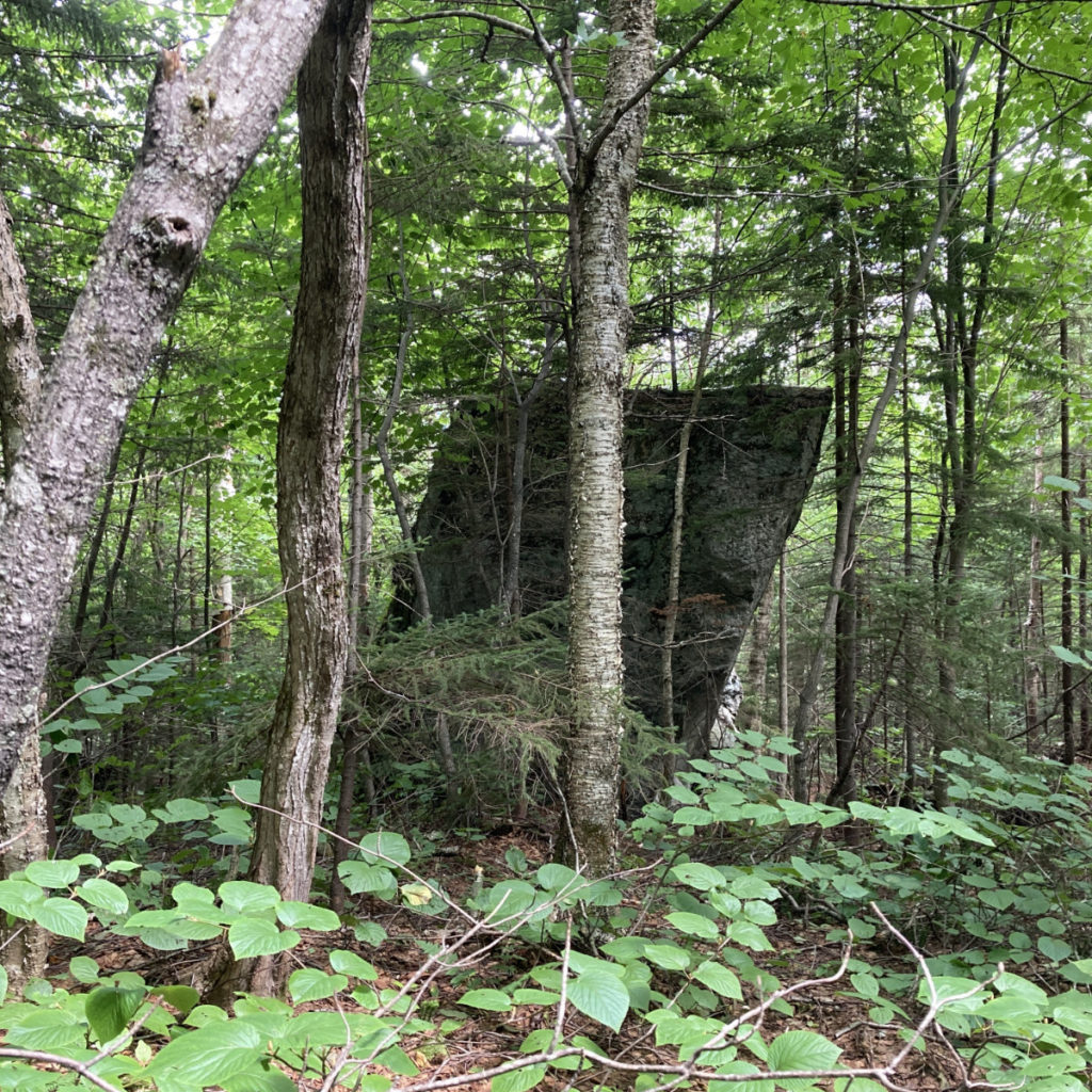
I looked to the sides, and cliffs stretched skyward, relentlessly. There was a small tree growing out of the cliff face, roots clinging to nearly vertical stone faces, finding purchase in the tiniest of crevices. From time to time, there would be lush greenery spanning the chamber, but these just served to soften the edges slightly. The business end of the trail was hard, unyielding rock, huge. If the smaller end of the spectrum was the size of your average washing machine, the larger end was the size of your average delivery van. There was no subtlety. This was the land where giants threw boulders around and left them lying around like discarded toys.
Like a very long puzzle, I climbed up, around, and under all this mess. At times, I retraced a step or three. Oftentimes, I’d just look around, planning my next moves. Perhaps years of rock climbing when I was in college set me up for this day. Mindful movement seemed to be the correct strategy. This was no place to let my thoughts wander. Not the least, but a misstep could mean a fall of quite a distance, getting wedged between rocks, and who knows what else. And the sense of isolation was palpable. Those cliff walls looming overhead were a constant presence.
I wasn’t halfway through when I heard some human noise, and moments later, an AT hiker, Fonzie, appeared. We hiked together for a bit, then again over the Arm. He’d come up from Georgia, and in fact, came from a town very near Amicalola State Park. I had been fine with solitude, but the company of an AT hiker was nice. We ended up sharing a lot of thoughts about COVID and the trail in general. It was nice having his company, and made the miles melt away quickly.
At a certain point, you realize going back is harder than just going forward.
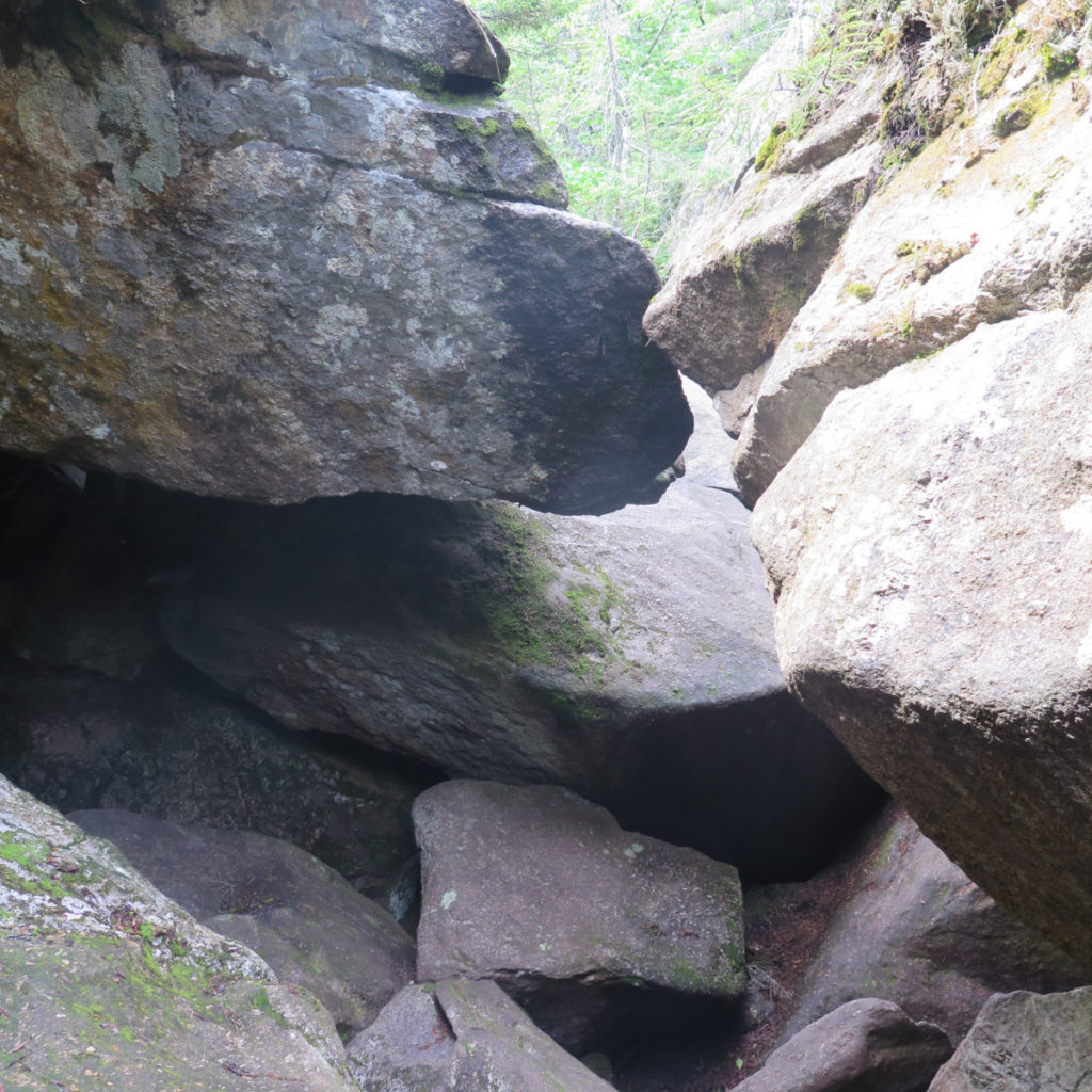
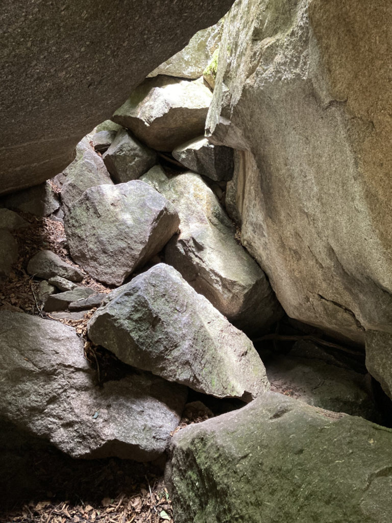
There were more than a few spots where the smartest line crossed deep crevices. I’d read about how they could eat whatever got dropped, and so had taken care to batten down my stuff. Some had written about how poles got in the way, some had written how poles had helped. I’ve found I typically fall in the latter camp, and this day was no exception. As Orwell wrote, “four legs good.”
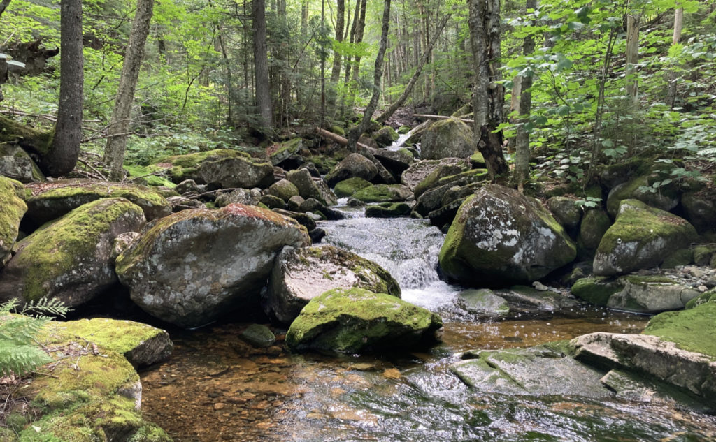
And those deep crevices? So, about that weather. One thing I certainly found is the crevices not only consume wayward hiker gear, but they also keep cold. Several spots featured the sounds of unseen water gushing below. But several spots also featured very cold temperatures — I wasn’t able to directly see any, but I’m sure there was a chance ice was still down there even in July. This would be a fun trail to hike in hot weather.
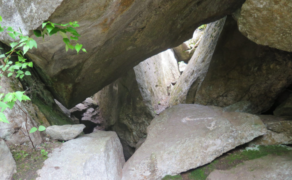
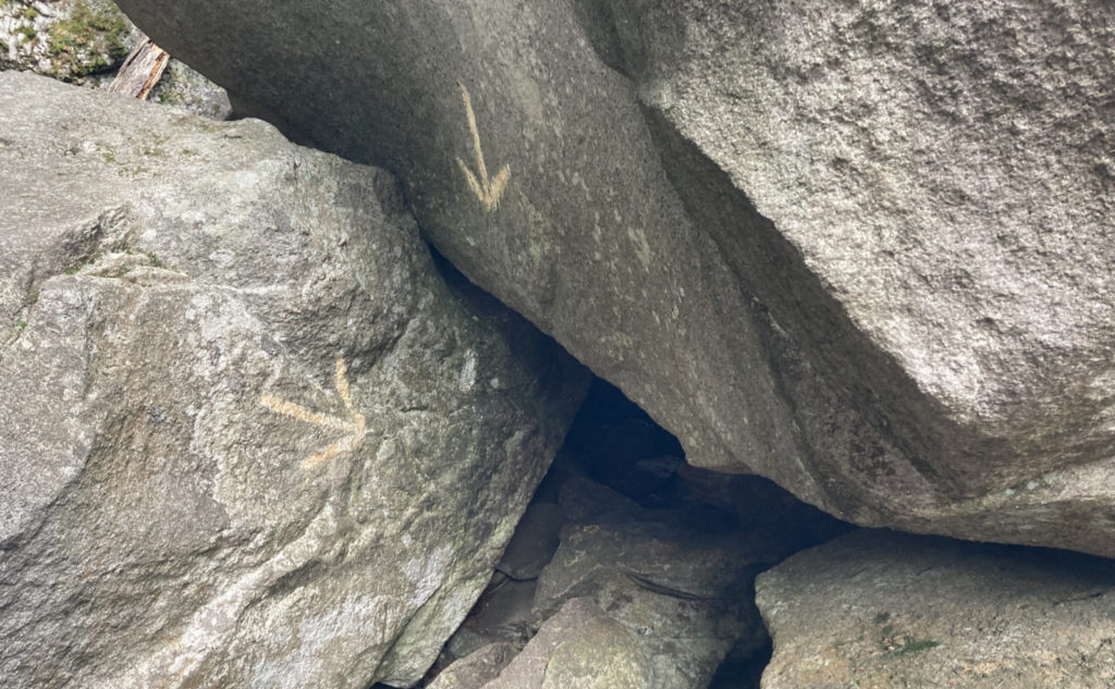
Pressing on, I crawled through some tunnels. I never had to doff my pack to squeeze through, but there were plenty of places where contortions were key. And while so much of the AT is prescribed to a width of around three or four feet, blazes here were more of a general guidance, and more than a few spots had painted arrows indicating the preferred direction.
All things in time — and distance — will pass.
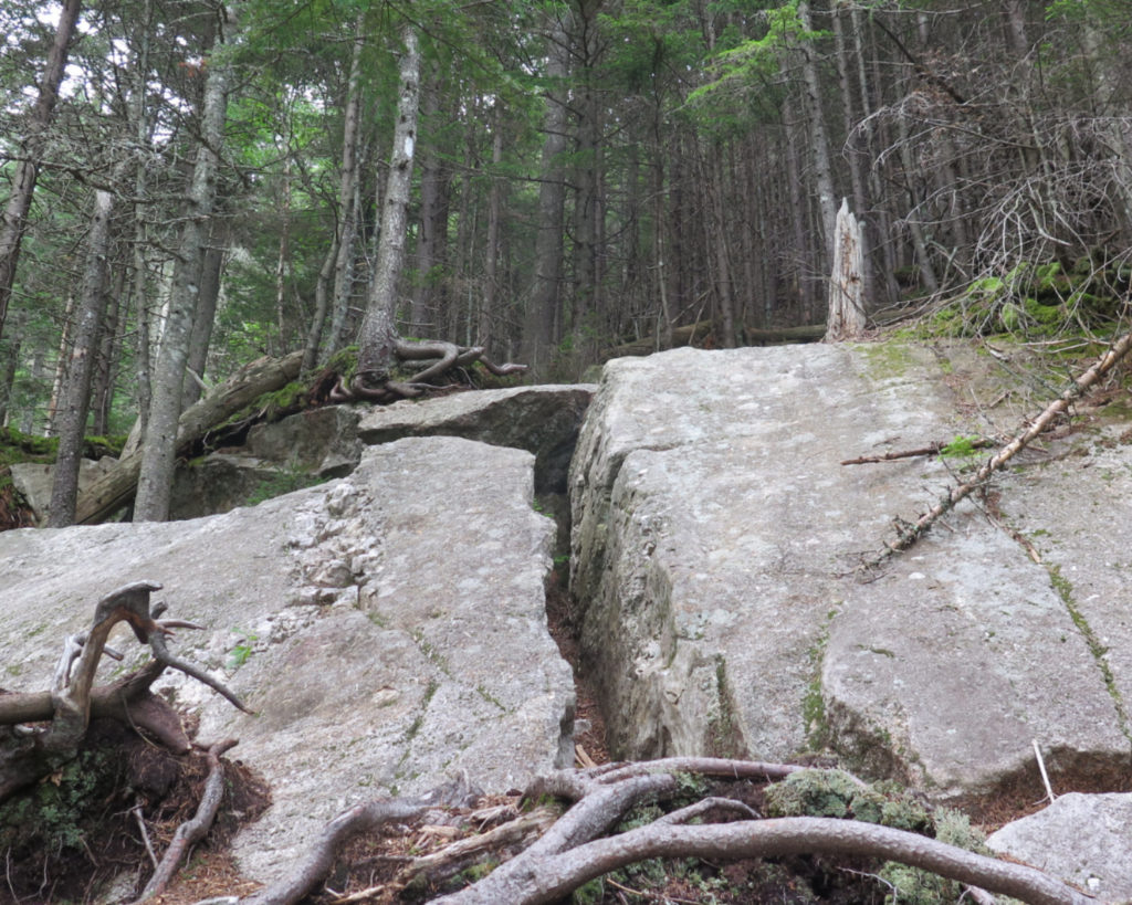
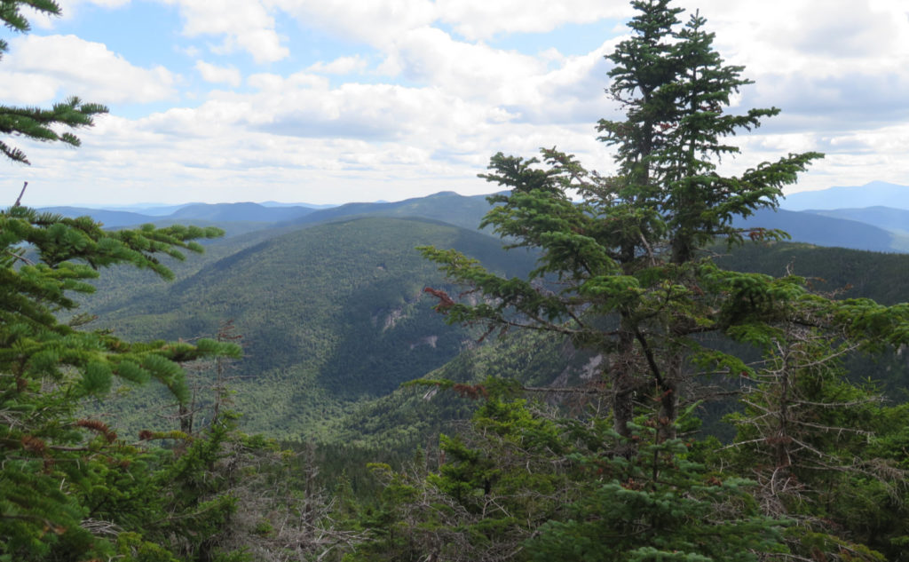
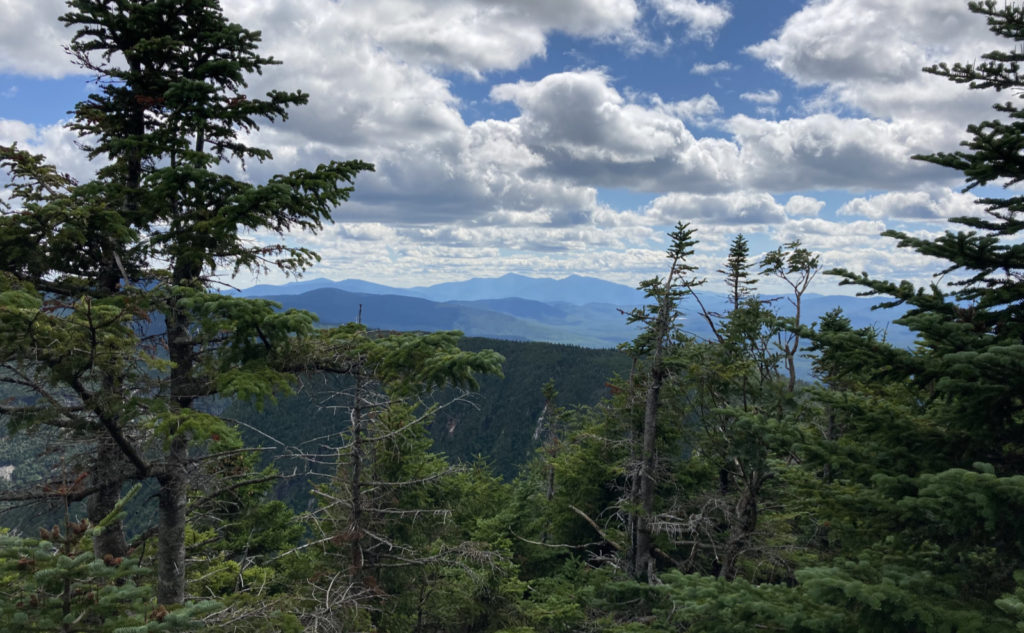
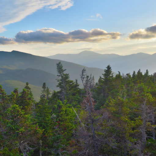
Without realizing it, I climbed up out of a tunnel, and not long after, the trail abruptly changed character. I was at the far end of the notch, about an hour after I started. Initially, I couldn’t imagine that was it. But somehow, it crept in that yes, it was. Ahead of me was a climb up a steep, but fairly easy trail to the summit of Mahoosuc Arm. It wasn’t exactly stone steps, but nothing stuck out screaming “hard” either. We met a friendly family of hikers heading the opposite direction and shared a few thoughts before moving on.
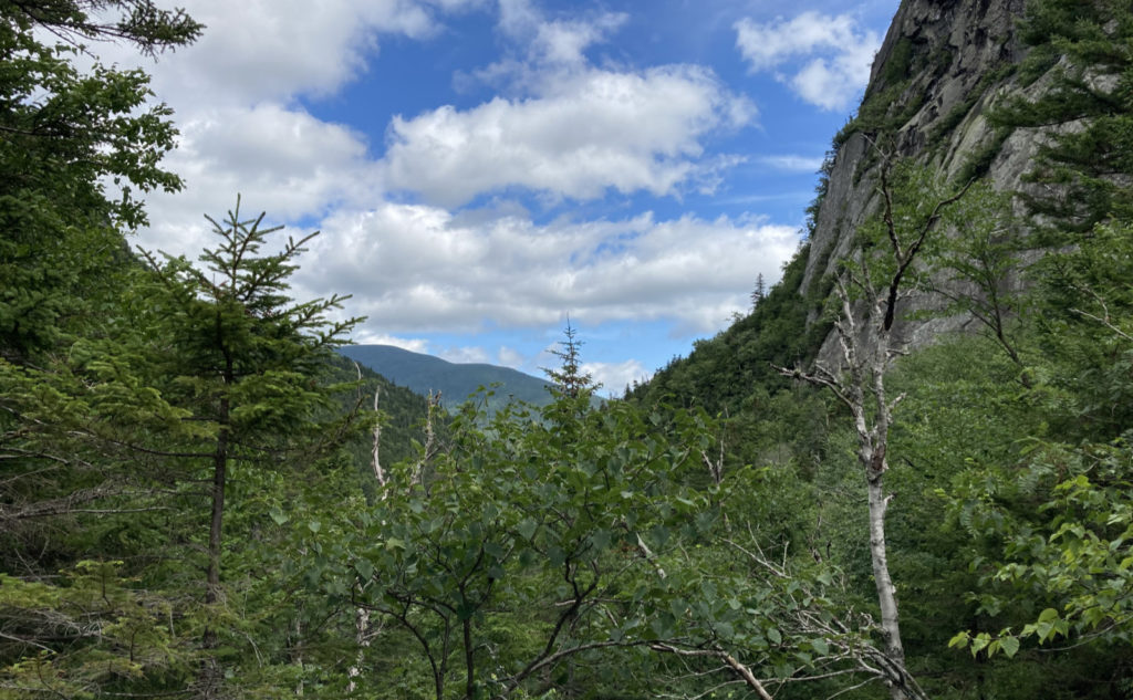
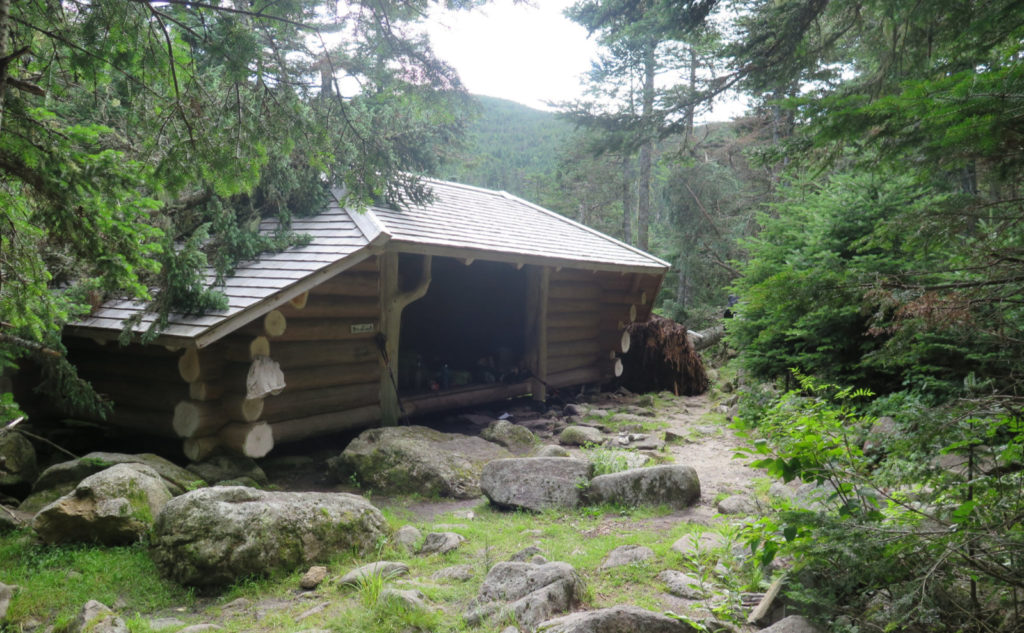
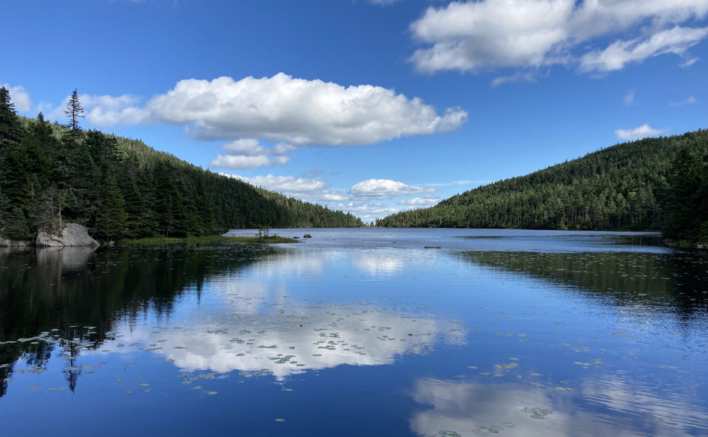
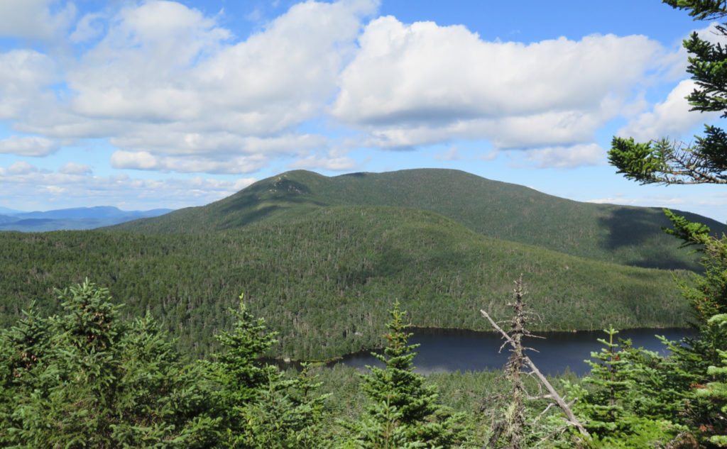
Crossing over to the other side, we saw Old Speck, and the pond lying below. At the junction, I parted ways with Fonzie, bidding him good luck, and wishing I was continuing on. (And of course, I was also kicking myself for not getting out of the house a couple hours sooner — I would have loved to revisit Old Speck.) My day to hike the AT will come. I moved onward around the pond, and at the other side, made a quick trip across May Cutoff, and both bagged that summit, and got the cutoff itself for my red line. This trip was all about hiking the notch, but at the same time, I’m not going to skip my other goals, right?
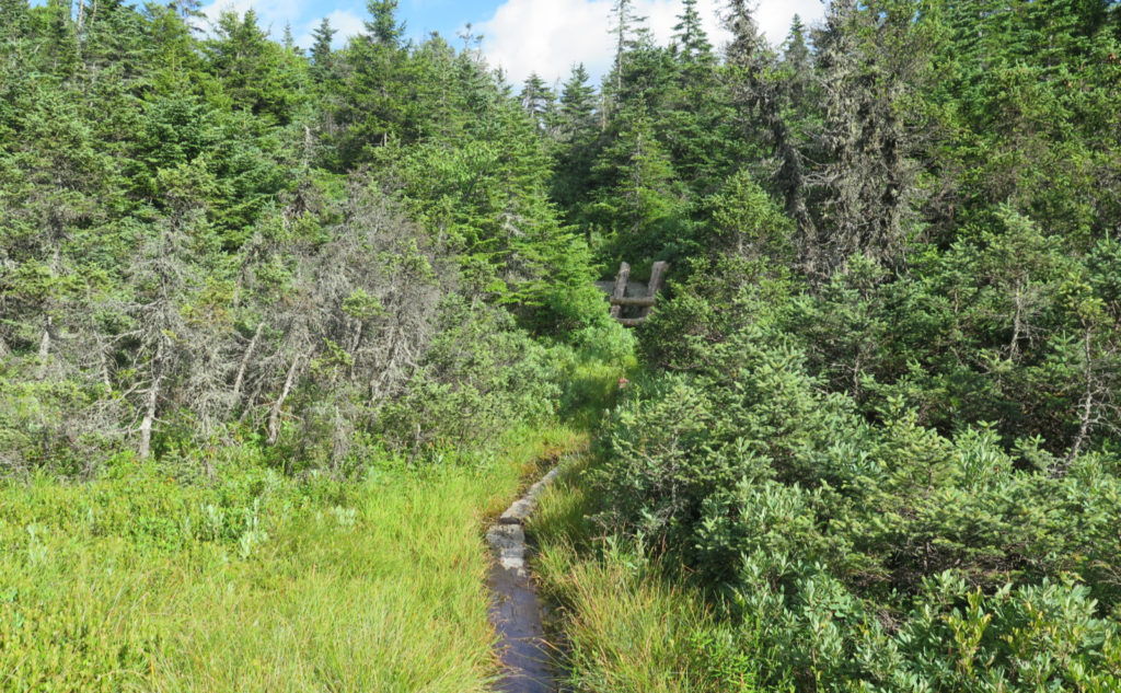
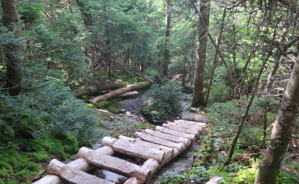
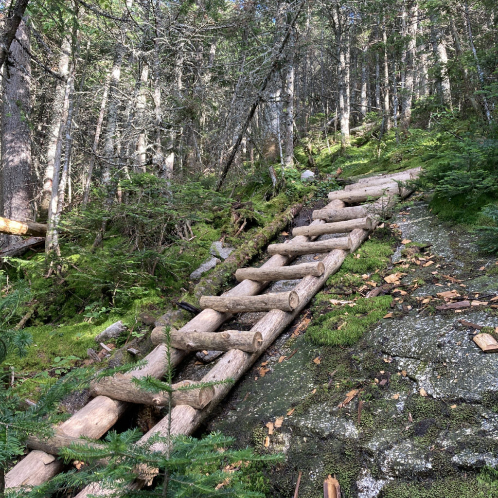
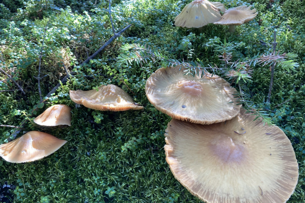
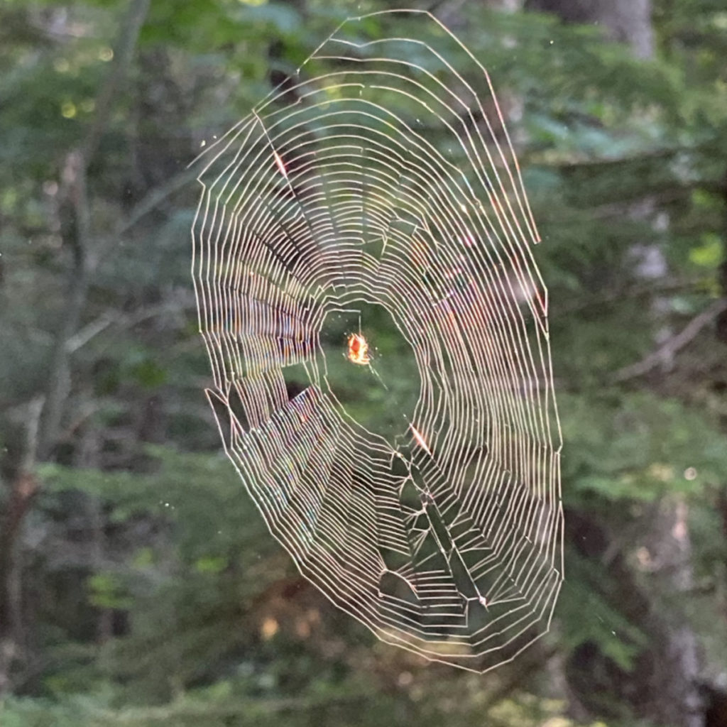
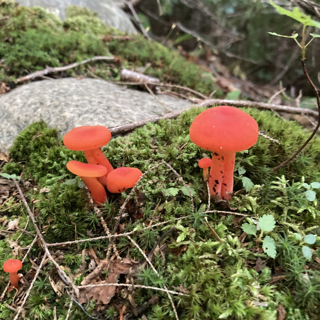
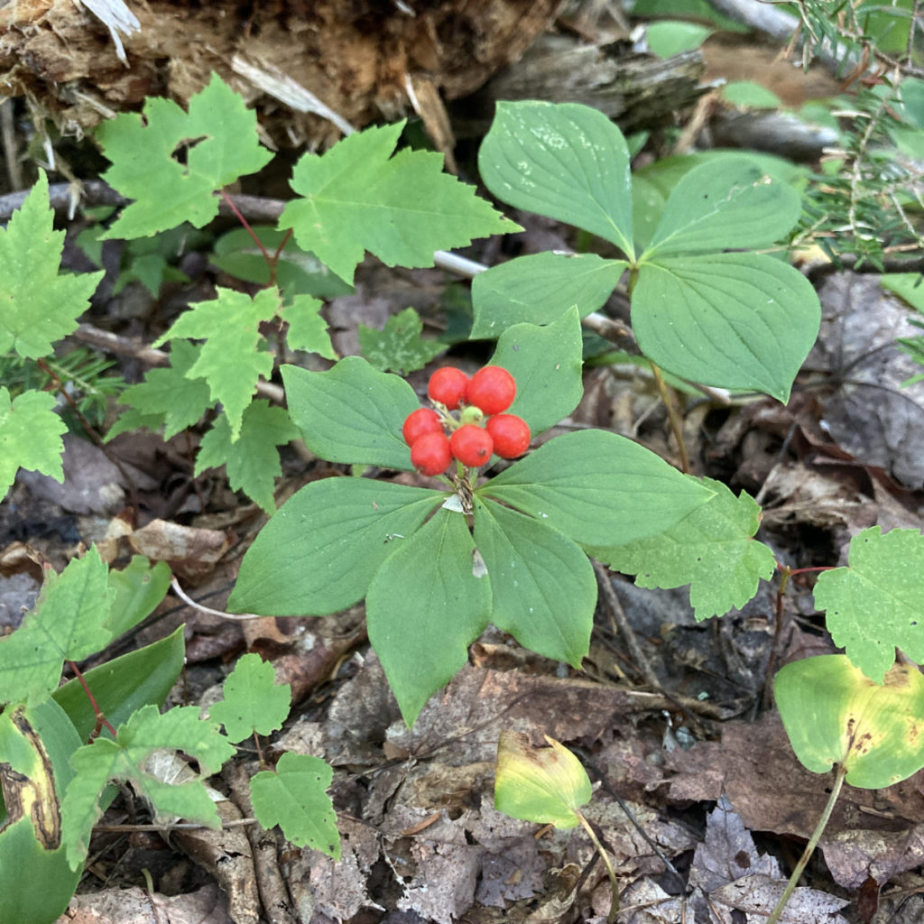
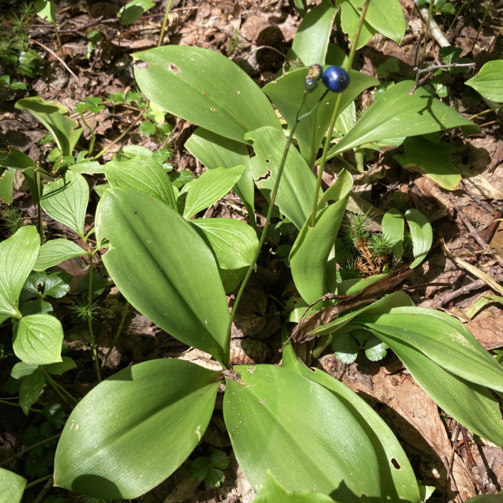
Heading down Speck Pond trail, I found numerous things to occupy my time and the rapidly dwindling daylight. Plenty of plants, and several spiderwebs. At one point, I had to actively remind myself that night was well and truly on its way. Finally, I was back at the road, hiking back to the car. With just the last dregs of light left, I drove back down the road, and after a bumpy half hour, was back in Berlin.
Is all that “toughest mile” stuff just bluster?
So, was it the toughest mile? Honestly, I don’t think so. To be sure, it was a very slow mile, and thinking about that aspect, the only other I can think of as being such was probably the Daniel Webster Scout trail on Mt Madison last year. It demanded concentration. It required planning my moves in advance. There were quite a few places where I was hand-over-foot, there was no shortage of painstakingly slow progress. But tough? No more so than anywhere else I’ve hiked. To the newcomer, I’d advise building up to it first, but I don’t think there’s a secret handshake or any of that sort.
Why then doesn’t the trail follow a gentler line?
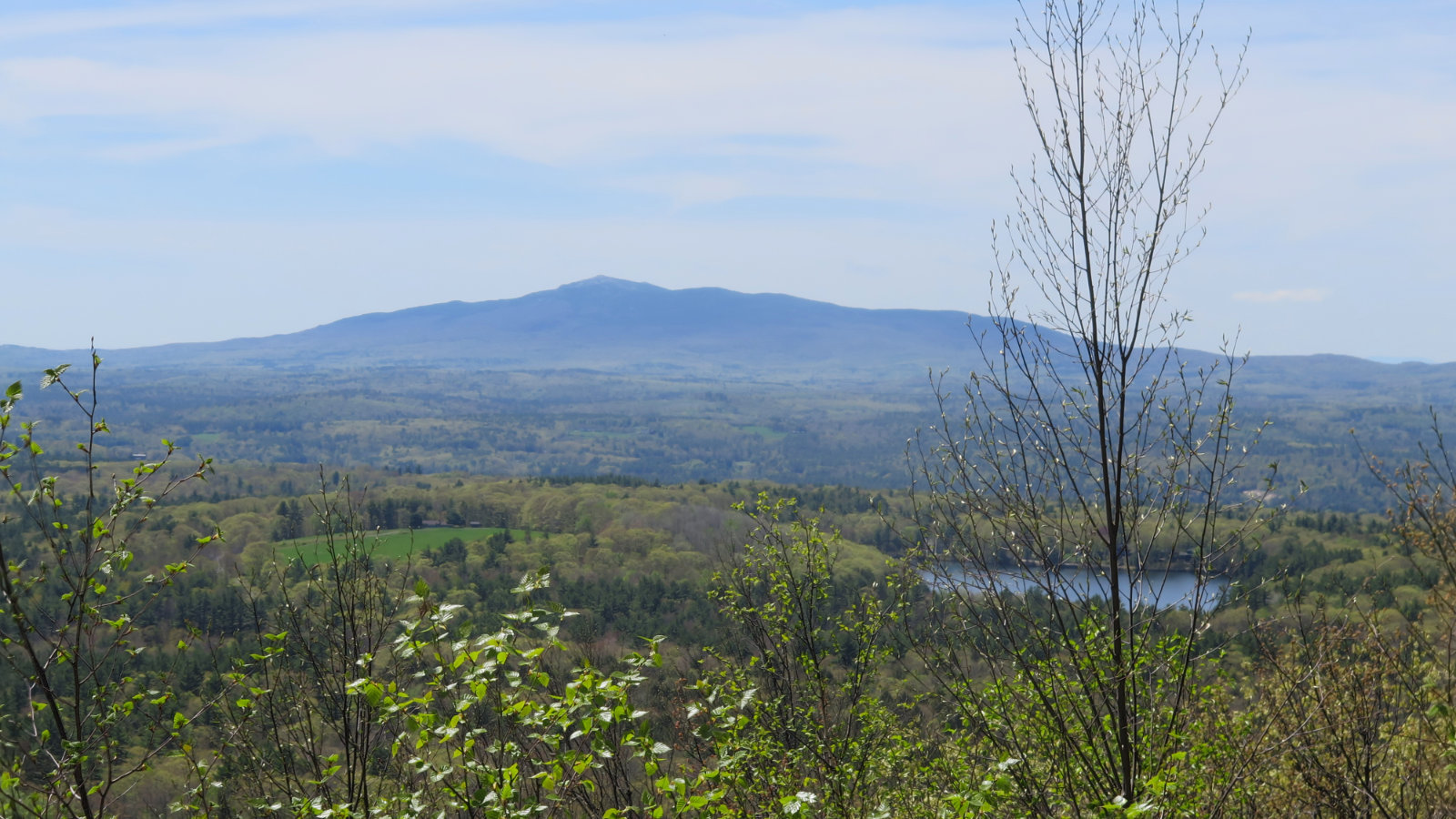
I had a lot of time to reflect on its place on the AT. Mt Mahoosuc is right there, to one side, and I’d bet that a trail across its summit would make a fine hike for any traveler up from Springer Mountain, or down from Katahdin. The question of “why” came up, and it took me a few hours before I finally realized it on the drive home.
But can aesthetics be explained? How about to someone who’s already walked nearly 2,000 miles, and perhaps just wants it to be done already. Or the casual day-hiker who might not have many miles out on the trail? I know for me, it made intrinsic sense. Of all the AT miles I’ve hiked so far, the Whites have few places where they let up. Perhaps they exemplify the New England character. Maybe they reify Mallory’s quip “because it’s there.”
What is the role of difficulty v. access?
This is a tougher question, and some people will inevitably disagree with me. (I hope this goes without saying, but if you’re in that camp, keep your comments civil, and constructive.) I was reading something by the AMC about the notch, and the question of accessibility came up. It collided with thoughts of Kennedy, talking about going to the moon. We do these things, “not because they are easy, but because they are hard.” How to think of difficulty and access, reconciling each to the satisfaction of the other?
So often in life, people strive to eliminate barriers and make things easier, especially for those who’ve historically been sidelined. We see such evidence all over the place these days, and I don’t think it necessary to enumerate those things here. But they exist, and have made life easier and richer for all. In general, this is a very good thing, and should be perpetuated.
But I think sometimes, we need to retain things that aren’t easy, that aren’t broadly inclusive. We need those places where barriers to entry are tough. Not the least, but life doesn’t allow us to pick and choose our moments of hardship. Ready or not, here it comes. Those moments where we can seek austerity and hardship, at least partially on our own terms, allow us to reframe our approaches to life. To expand out toolkits as we expand our horizons. This is also a very good thing, and should be perpetuated.
To be clear, I say this having all my limbs intact and largely functional. I can’t speak to what a wheelchair-bound person might think, because I’m not wheelchair-bound. I can imagine that some of that cohort have certain thoughts about the ramp on Galehead hut. Some of them might have opposing thoughts, and there’s everyone in-between. But I sense most people are happier that it’s not easy to hike up to the summit of Washington. I think more people appreciate the view from the observation platform on Cannon, after having hiked up rather than taking the tram. I think for most, it’s the journey, not the destination. Or, that the hard part of the journey *is* the destination.
No-one would even dream of installing an elevator to the summit of Mt Everest. Indeed, there are some who think the Mt Washington Auto Road and the Cog are themselves a bridge too far. The wilderness areas are explicitly meant to remain austere, and we don’t question that need, nor do we race to pave those trails. Is it a simple decision, to determine which places are more welcoming, and which are more exclusive? Of course not. But here, some brave souls made the choice long before we arrived on the scene. It remains a place where many can challenge themselves.
I don’t think that mile would be so memorable, nor would it immediately fill me with a need to return (and soon!) had it been drawn across less rugged terrain. It’s the very embodiment of Type II fun, and were I to thru-hike and not find this jumble of giant rocks standing in my way, I’d feel short-changed. To me, it’s not the toughest mile, but rather, a very aesthetically pleasing mile. In more than a few places, it was a puzzle, but not an impossible one. It wasn’t long before I was comparing it to other memorable places, deciding where in my list of achievements it would sit. And yes, I’m already planning on going back. Not counting my thru-hike.
As always, stay safe out there.
A note on photographs of the notch: I was using two cameras, and the time-stamps weren’t in sync with each other. As such, I’m doubtful that the sequence of images is 100% true to the lay of the land, even though it’s probably pretty darn close. Please don’t rely on them to plan your trip down to the last detail, but instead, to help you understand that this is a highly unusual section of trail. As always, hike at your own risk, within your experience level, and always have a backup plan.

Nuts and Bolts: The quickest way to the notch is to drive to Berlin, make your way to the east side, and find Success Pond Road. Note that this is a dirt road, perhaps more suitable for OHRV traffic than the family car. If your ride is low to the ground, take this into account when planning your trip. Just prior, though, stop at the gas station and top off your tank: the trailhead is still about half an hour away — about ten or eleven miles. You really don’t want to find yourself with the gas gauge hovering by “E” out there.
On Success Pond Road, you’re looking for a small white sign that points to the Notch Trail, located on the right. At any junction along the way, head straight in the obvious direction and you should be fine. Just beware that intersections aren’t particularly well signed, and it could be very easy to get lost.
Turn right onto the side road for the Notch Trail, and you’ll go over a wooden bridge. At the second bridge, park. (It’s in disrepair, so you won’t want to drive over it.) The trailhead will be almost exactly one tenth of a mile away — about a two minute walk.
Blazes on Notch Trail and Speck Pond Trail are blue. On Mahoosuc Trail (the AT) they’re white. Overall, the trail is pretty easy to follow, although the recent tropical storm yielded a fresh crop of blown-down trees, and there’s a couple sections where the understory has encroached on the trail. Be mindful of where you are, and you should be fine. As always, carry a map and compass, along with the usual other essentials.
Bear In Mind: Oxford County in Maine is largely unincorporated land. On the New Hampshire side, it’s not terribly well populated, either. Cell service in the notch is non-existent, and you shouldn’t count on any in the other nearby areas, either. Be self sufficient, and ready to spend the night, if things go sideways. Especially with the lower amounts of hiker traffic due to COVID, don’t count on someone being nearby to help.
NOTE REGARDING MAP: For whatever reason, Gaia GPS isn’t playing nice today. Unlike every other map I’ve made for the Whites, the app isn’t recognizing the Notch trail or Speck Pond trail, nor is it recognizing the May Cutoff. I’ve got the lines drawn in roughly, but please consult a more reliable map for definitive information on the actual route. I found the AMC map of the Mahoosuc Range to be reliable, and it was the paper map that I carried during my hike. (This is available with both the White Mountain, and Maine Mountain Guides.) The state of Maine has a nice map for Grafton Notch that covers the AT portion, although it peters out on the Notch and Speck pond trails. Those two trails, however, were quite easy to follow when I hiked them. Your mileage may vary, of course.
4 thoughts on “Trip Report: Mahoosuc Notch — Hiking the Toughest Mile of the Appalachian Trail”
OK, and I thought Kinsman Ridge Trail up the back side of Cannon was rough. I should mention that “wheelchair-bound” is considered a problematic term in the disability community. https://www.freewheelintravel.org/please-stop-saying-wheelchair-bound
Oh, you should try the very southern end of Kinsman Ridge trail. There are few spots where it gives any quarter, whether on Wolf, South Kinsman, or Cannon.
Personal identity is a matter of no small amount of discussion. Not the least of which, as was mentioned in your article, some are trying to reclaim terms, but “I can say that, but you can’t” remains an ever present minefield. At least for the moment, I’m going to let that descriptor remain as-is.
1.I’ve heard one lady say, “I don’t consider myself “wheel-chair bound, that’s too negative. My wheelchair is a tool that gets me out places.”
2. I’d like to thank Gov Mills for getting me out of this one (it’s in Maine, isn’t it?). Prema has had her eye on it for years, don’t feel up to it myself right now, maybe next year (we live MA).