Pique, Peek, Peak!
Mt Osceola and East Osceola, Lincoln, NH. 2019-04-18. (Thursday)
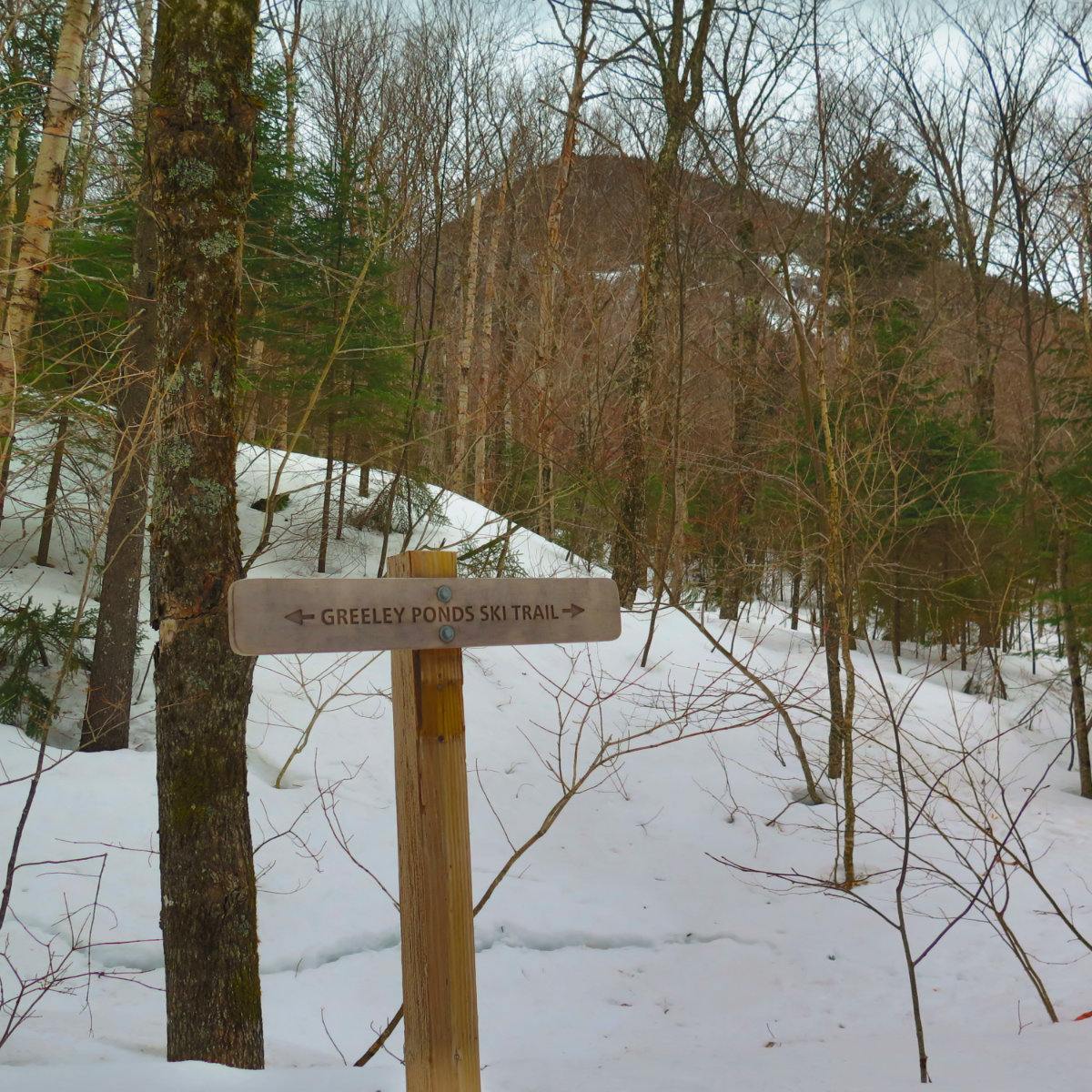
Via Greeley Pond and Mt Osceola trails, out-and-back.
45 dF +/- and cloudy. Summit winds 20-25 sustained, gusting to 30 MPH.
Trailhead: 1045; East Osceola summit: 1315; Osceola summit: 1345; back at car: 1645.
It was nearly lunchtime before I hit the trail. Obviously, I need a bed that’s uncomfortable if I’m ever going to get to a trailhead on the early side of the morning. Today, however, it worked out. A light rain fell as I passed through Plymouth, and it didn’t abate until I was on the trail for around an hour. The ceiling was fairly high, though, so some sort of view was assured.
Down low, the water crossings were, for the most part, quick and easy. Drainages were typically a single step crossing with hardly the sole of my boot getting wet. The brook took a little thought, but a few stepping stones and I was across. Its babbling was a fine soundtrack and did much to adjust my attitude to the trail, away from the daily grind.
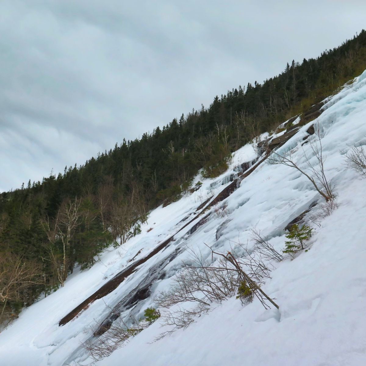
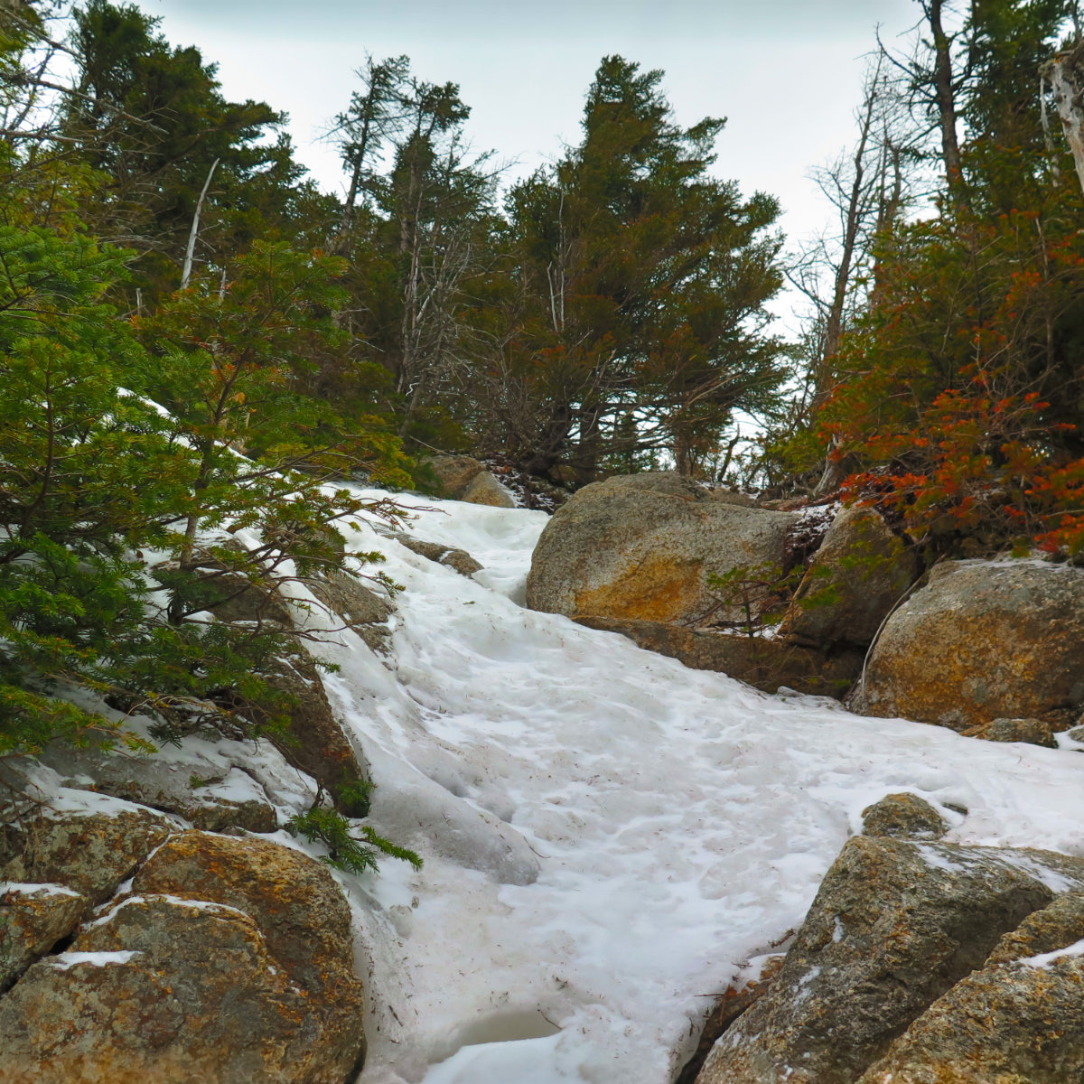
I started out on my snowshoes, thinking I’d switch to crampons at the chimney. If I had that decision to make all over again, I’d skip the snowshoes entirely, and go with the crampons. As it was, I made that swap on the flattest part of the severe uphill that I could find. Which is to say, I was leaning against a tree, in order not to slide down into next Tuesday. Wow, that uphill bit is unquestionably uphill.
(To be clear, a smart move would be to swap into crampons at the junction of the Greeley Pond trail and the Mt Osceola trail. Beyond that point, it remains crazy steep just about until the summit, and pulls no punches whatsoever along the way.)
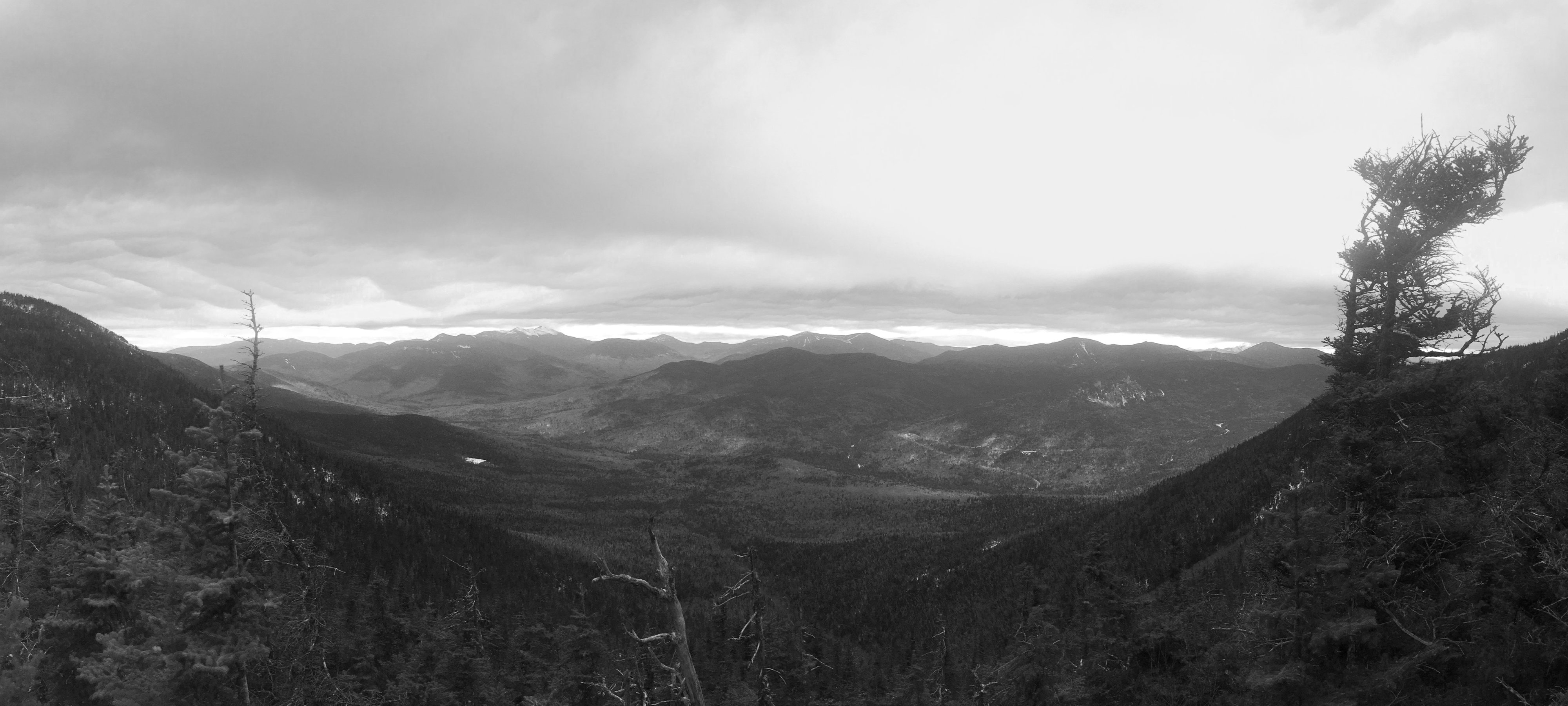
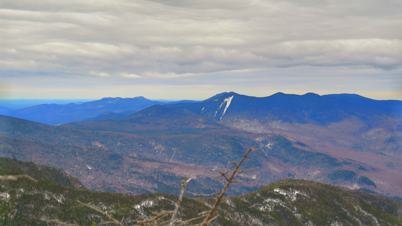
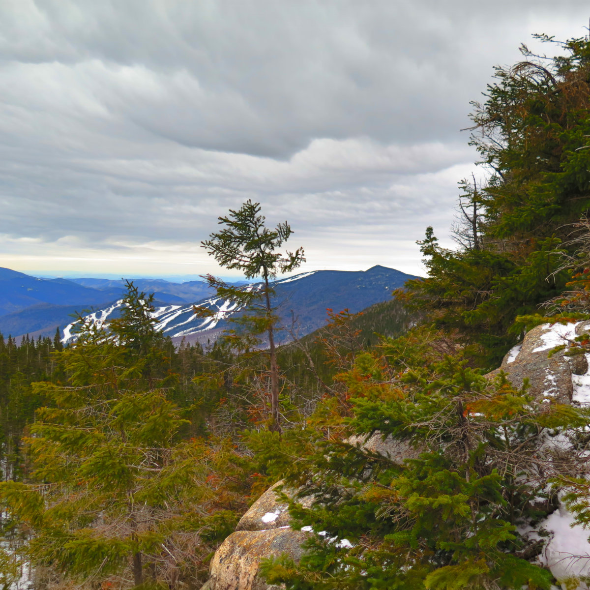
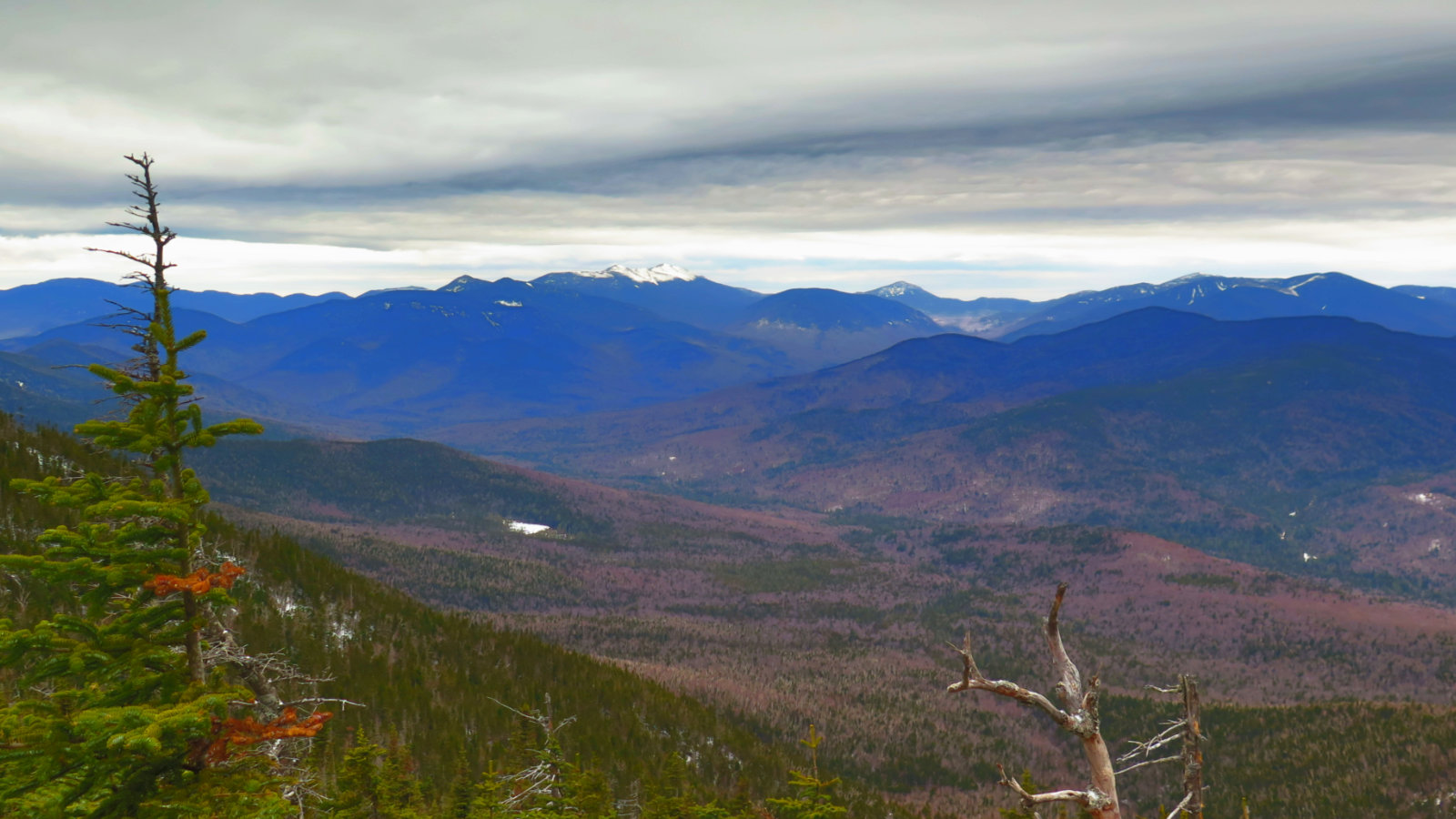
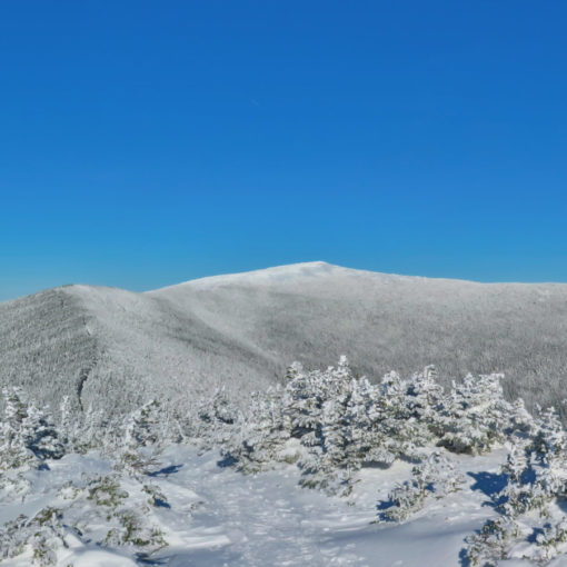
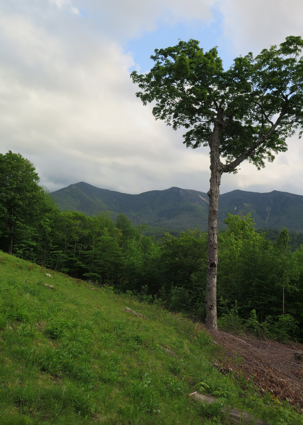
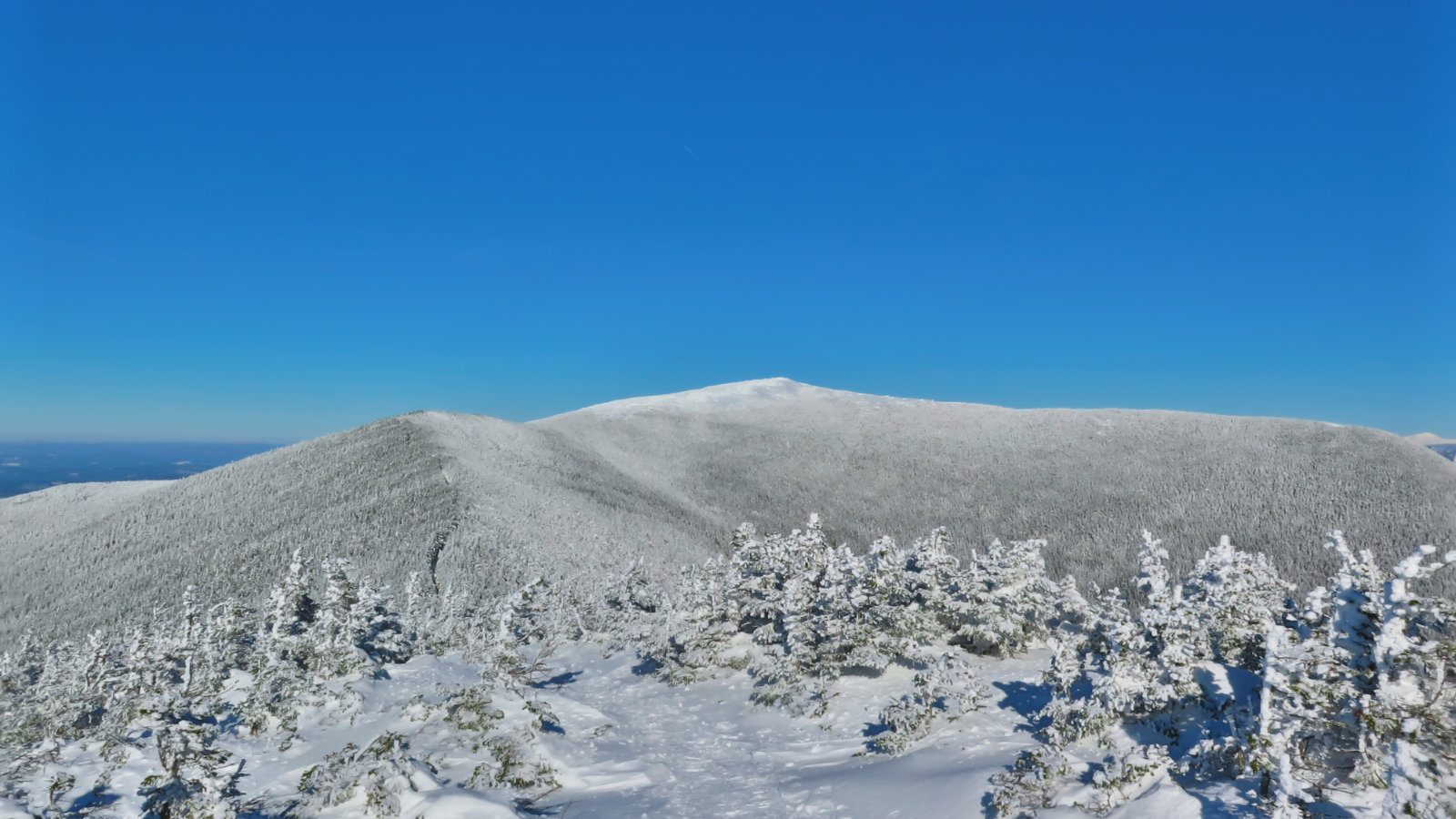
Last time I was up there, clouds obscured the majority of the view. I never knew what I missed until today, and wow, that slowed me down. Even though it surely wasn’t, it felt like a view that was only tempered by the curve of the earth. In one panorama, I could easily identify the Kinsmans, Cannon and its cannonballs, Franconia ridge, Owl’s Head, Garfield, South Twin, the Bonds, Zealand, Hancock, Washington, Middle Carter, and Carter Dome. Another view and I spied Moosilauke. And to the other direction, I saw Tecumseh, the Tripyramids, Carrigain, and Passaconaway. That’s almost half the 48 right there, and not counting the “could be this, could be that” peaks that were obscured by weather. Steve Smith holds that 41 of the 48 can be spied between the two peaks, and he’s backed up by Scudder’s viewing guide. I’m inclined to agree with him. The net result was that I kept stopping at every gap in the trees just to stand there, staring.
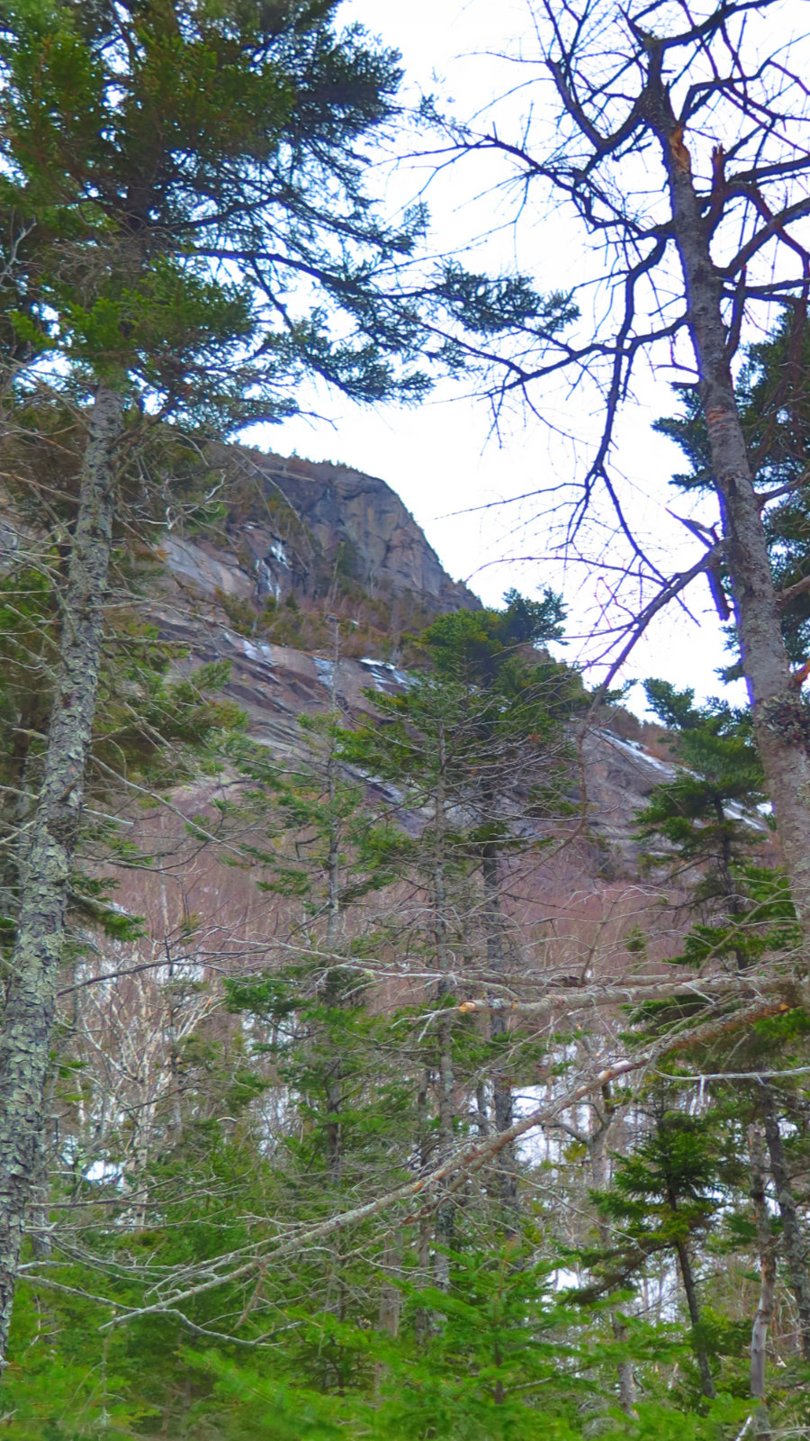
As before, I got to the summit of East Osceola and was greeted by not a single cairn, sign, lumpy prominence, or even a summit canister. There was a nice overlook just off the summit, and I took in the view before carrying on. Like the hike up to the summit, the col also leaves no question that you’re hiking in the Whites. But if it’s steep and deep, it’s also not terribly long. The chimney did give me a lot to think about, especially as it was very icy, but after that, it wasn’t very long before I was approaching the summit of Mt Osceola.
This time, I had a better view of the old fire tower foundations, but I didn’t stick around to stare at them. The wind up top was tremendous, and even though it was coming from the opposite side of the summit, I was already feeling it when I was just down below. No kidding, it was interfering with taking photos. I savored the view, and then headed back down. Wow, that wind was amazing.
The way down was fairly quick once I was back on East Osceola. The steep trail that slowed me down so much on the way up made for quick travel down. One thing, though was that I didn’t dare even consider glissading for the most part. Occasional snowballs, kicked up by my boots, showed the fall line was usually anything but in line with the trail, and in any case, the steepness was more than enough to make me more than a little worried about footing for most of the descent. Yep, there were stellar views all along the way, but at the same time, a fall would have hurt.
It’s pretty ingrained in me that the bad weather has to be taken along with the good, but wow, I missed the views the first time. Picking favorite mountains is a lot like being asked to name one’s favorite child. That being said, I need to cause or provocation to come back, especially on a sunny day. The views are as amazing as the trail is steep. Which is to say, “very.”
Nuts and Bolts: Greeley Pond trailhead is almost exactly 4.5 miles from the Lincoln Woods trailhead. When you see the Otter Brook day use area, start looking for the sign. Small parking lot, capable of receiving maybe a dozen or so cars, so be there early if hiking in more popular seasons.
Note: The AMC lists almost all hikes on the 48 list as “strenuous”, but in this case, the designation is appropriate. The trail may be short overall, and Greeley Pond trail is at a very friendly grade. But once on Mt Osceola trail, the way going steepens very quickly, and in more than a few spots, gets quite treacherous — a fall in icy conditions will require at a minimum an ice axe and well rehearsed skills in fall arrest. And even then, success is not at all assured. Be careful when attempting this trail, especially in winter conditions. If you feel like you’re in over your head, turn back. The mountains have been there for at least 12,000 years. They’ll be there for a few more.
If you enjoy reading these posts, consider subscribing. Your email will only be used to alert you of new posts — typically 1-2 times per week. I will not use or share your email for any other purpose without your express permission.
4 thoughts on “Trip Report: Mt Osceola and East Osceola, vernal edition.”
Nice photos! beautiful colors! 🙂
Wooow! Thank you so much for the trip report! Helped a lot to prepare this hike in spring time. I’m amazed you dared to go through the chimney! You are a badass! I’ll go there hopefully soon!
Glad that helped. The chimney isn’t hard per se but you do need to be careful. If you’re sitting on the fence, wait until the ice melts. The mountain will still be there.