South Uncanoonuc Mountain (1,315 feet). Goffstown, NH. 2022-10-23 (Sunday.)
Via Summit and Incline Trails. “Maybe a mile or so” round-trip. I could be egregiously wrong on that math, but it’s a short trip that should be suitable for all ages.
Note: due to a hectic bout of life, this post is out of sequence with how the last couple of weeks have been going.
Beyond being just boots on the ground.
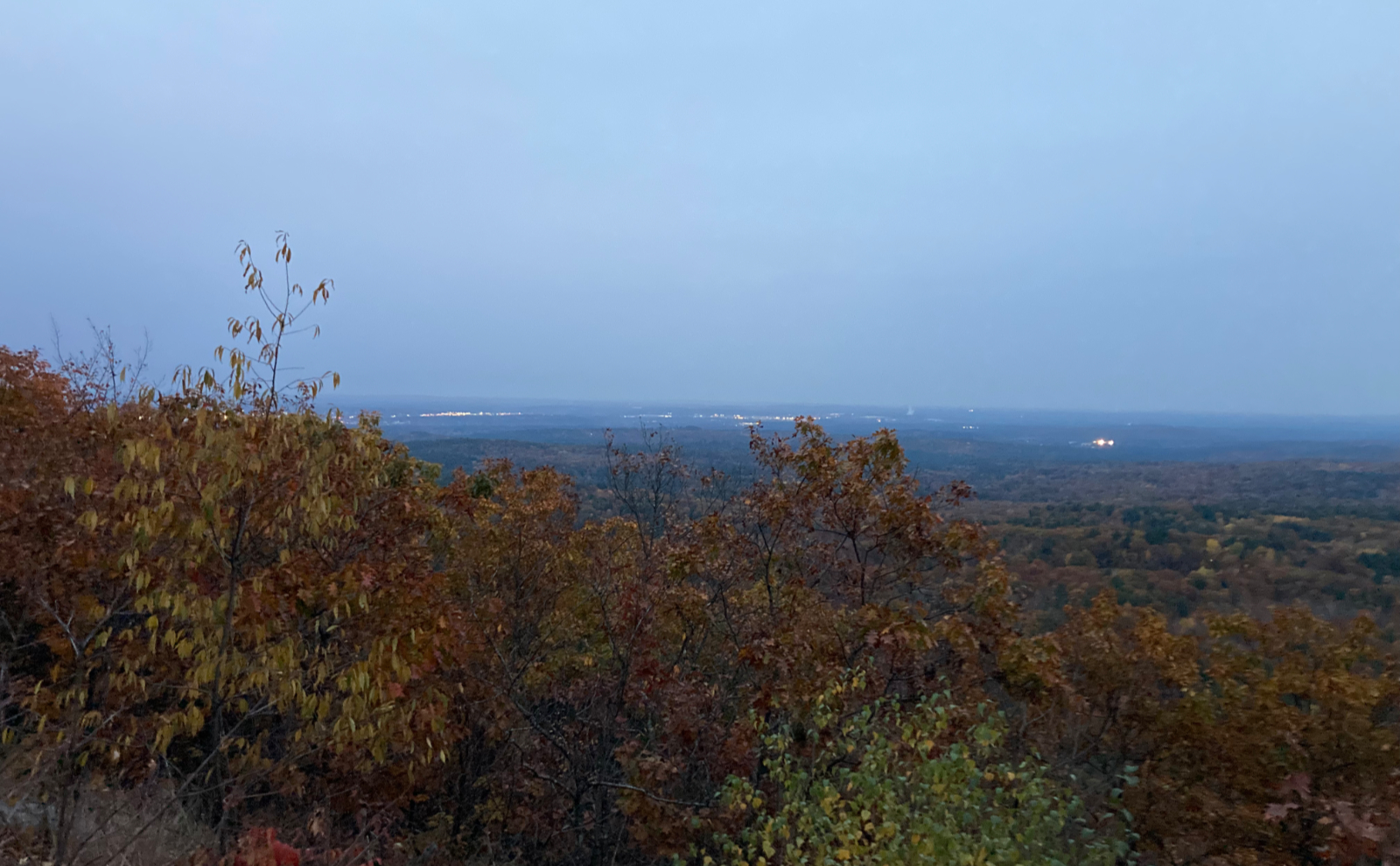
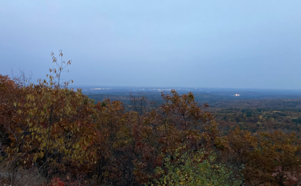
This was more of a chance to meet up with a dear friend, than it was an effort to make miles or altitude. What a way to spend an evening, hiking with someone who means a lot to you. Our destination being relatively “urban”, we enjoyed the lights of Manchester down below. No pretense that we were hiking somewhere remote (which for both of us is our preference) but just enjoyment in being outside.
Hiking something small and local is a fun diversion. Nicely, there’s no protracted journey just to get to the trailhead. Instead of pointing at something in the distance and saying “what’s that?” you get to see something familiar down below, now from a different vantage point. When you’re not sure about some new gear, or maybe haven’t night hiked, local trails offer safe testing ground.
We didn’t bring a picnic supper, but we did get some gentle rain and some easy mileage and seasonally warm weather. Lately, I’ve been drawn to race up and down the trails, which has its fun and upsides, but moving a little slower and with less of a sense of urgency was a nice change. Every time I hike local has been a very relaxing hoot. This night was no exception.
Thoughts on something a bit away from the local trails.
Over time and miles, I’ve met people who think (as I once did) that the 48 is “something other people do” with a sense of “I’d never be able to do that.” Typically, those people are coworkers, or others that I meet off-trail. The kind who “know” that because I hike, I must be at imminent risk of being eaten by a bear. The people I meet on-trail generally have already been bitten by the bug, and for the most part, can tell you where they are on their lists. I’m happy to report that none of us have become bear chow.
What has caught my attention recently is that there are hikers, well into their 48 lists, who think doing the four seasons list, or even the grid, is beyond them. People who’ve already knocked off some of the harder summits, like Owl’s Head, or the Bonds, or Isolation. Folks, you’re already most of the way there. You got out of bed this morning and hit the trail. There’s no such thing as lousy weather, just lousy clothing choices.
The thing that blows my mind are the folks who’ll gladly go skiing, not realizing they have most of what’s needed for winter hiking in their ski wardrobe. Or the people who allow rainy weather to keep them from the trail, yet on a sunny day, they’d jump in a lake and get just as wet. Weird logic, that.
Only different in your mind.
It’s a well worn truism: a thousand mile journey starts with one step. But to make progress, you must unlearn what you have learned. We focus on the thousand miles, when the spotlight should be on the journey. The trailhead at the end of the day is just the invitation to visit another tomorrow: when you finish the 48, do you just hang up your boots for good, or go find the 49th peak?
There is no rocket science here. For all those who think “one small step” on the moon is beyond mere mortals, remember, those rockets were built and navigated by the lowest bidder; by humans like you and me. My only bugaboo with the lists is keeping track of things, but that’s just a matter of bookkeeping — something the Mesopotamians and Babylonians were doing thousands of years ago. Again, no rocket science here.
For the love of trees and trails.
We think of civilization as being, well, civil. Turn on the evening news, and that idea gets smacked upside the head right quick. I think the constant rush to get things done exposes our untoward selves. My weekly visit to the forest is my time to do some head cleaning, to unwind, and sort things out. I have no data, but it feels like it makes me a better human.
The beauty of the lists is the structure; I don’t worry about duplicating efforts, and sometimes I get a nifty patch or certificate to hang on the wall, which reminds me of those miles and smiles while I’m making my morning brew. That said, I’ve hiked Monadnock more than 100 times, with no tangible reward besides the thrill of witnessing the evolution of certain trails across the seasons, through all different weather.
Just in the Whites alone, there are more than 650 trails, spanning almost 1,500 miles. Beyond New Hampshire, there are countless others, just within the New England region. Even in overdeveloped Massachusetts, there’s Mt Wachusett and Mt Watatic; in the western part of the state, the AT crosses Mt Greylock. Each is a worthy hike, and that’s just three possibilities in the Bay State.
Lists abound, and there’s no reason why one couldn’t roll their own, just as Miriam Underhill created the 48 out of thin air. I mean, it was some school-aged kids who drew up the Terrifying 25. What about visiting all the fire towers? There’s a list for that.
True rewards are truly sublime.
To finish a hike bestows a singular reward: the ability to go onto the next one. When I stood on top of Mt Katahdin in a wet and windy gloom, I was elated. I’d finished the 67, and I knew that I’d only just begun. In the moment, I knew not where to go next, and really felt out of sorts for a bit. But I also knew that before long, that path would make itself apparent. The trail did indeed provide, that gloomy day on Katahdin, just as it did the other night on Uncanoonuc.
As always, stay safe out there.
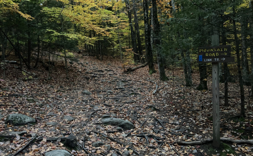
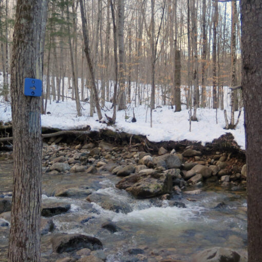
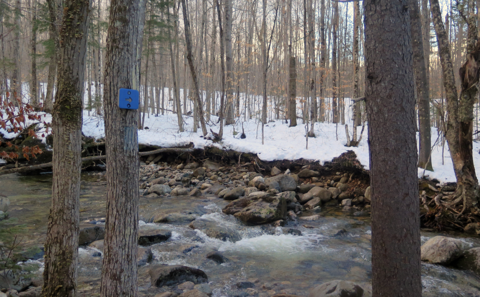
Nuts and Bolts: There are several easily accessible trailheads all around the Uncanoonucs, and none of the trails are very long. I recommend reviewing the usual trail guides and going from there. The AMC’s Southern New Hampshire Trail Guide does a good job of summing things up. For my particular trip, take NH 101 to Wallace Road in Bedford. Turn to the north, and in a couple miles, you’ll see Mountain Base Road on the left. A mile further, and you’ll wind up at the trailhead.
The trails themselves aren’t poorly mapped and signed, but take usual precautions — map, compass, etc. When in doubt, taking the downhill slope to the northeast will likely get you back to your car, assuming you started from Mountain Base Road trailhead. Just be aware that there are three roads with the word “Mountain” in their names on three sides of the mountain.
If you enjoy reading these posts, please subscribe — stay in the loop! Your email will only be used to alert you of new posts — typically 1-2 times per week. I will not use or share your email for any other purpose without your express permission. And feel free to share via social media using the buttons below.
Find me in the mountains, on this blog, or on Twitter: @Protean_Hiker
Help support this blog! Visit www.photos.proteanwanderer.com to buy some of my signature images.
