
Mt Passaconaway (4,043 feet). Sandwich, NH. 2020-12-10 (Thursday.)
Via Old Mast Road, Walden Trail, Dicey’s Mill trails.. Approx 9 miles round-trip; approx 3,000 feet elevation gain.
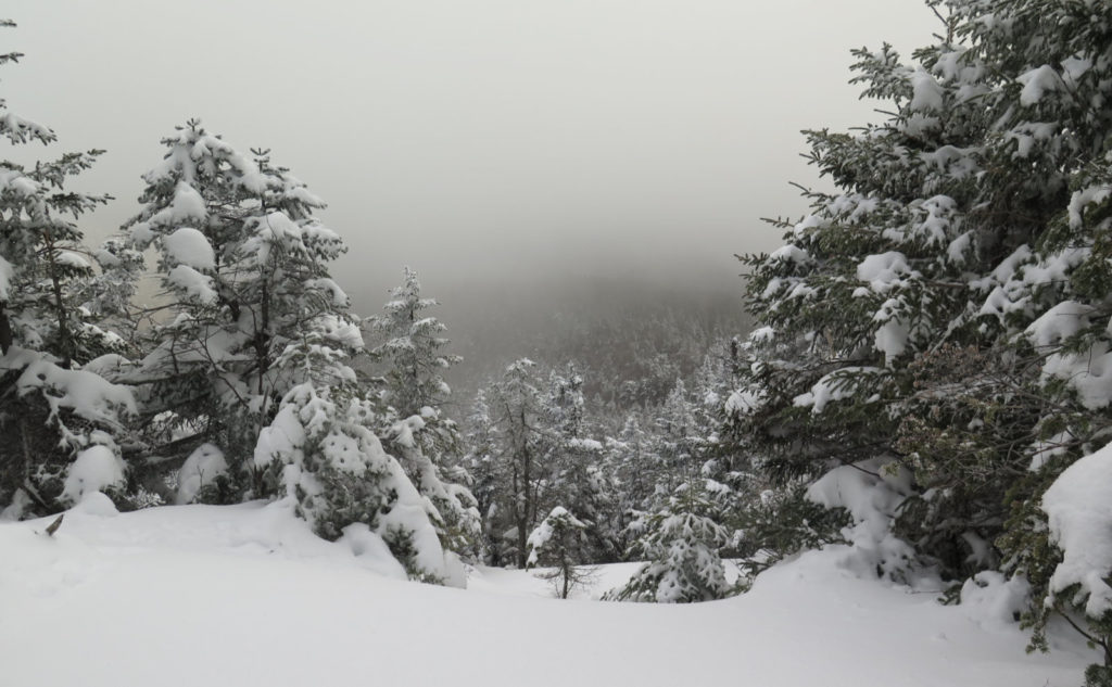
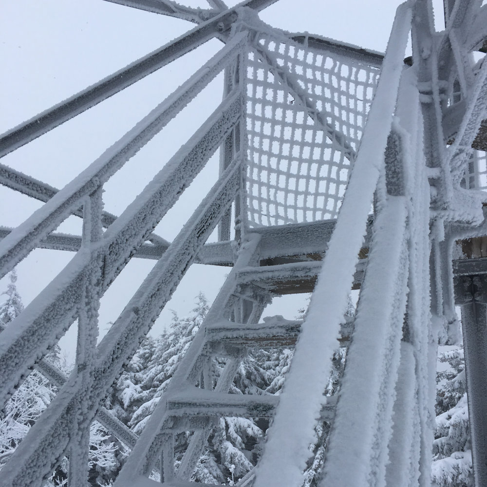
34 dF at the trailhead, 22 dF at the summit. 26 dF back at the car. RH ranged from about 60% early on, to 99% above 3,000 feet. Winds were around 5 MPH in the trees, reported to be 40-50 MPH above. Dew point was in the low 20% range throughout. Sun and clouds throughout, with a persistent cloud hanging over the summit down to about 3,200-3,400 feet.
Trailhead: 0930. Summit: 1450. Car: 1700.
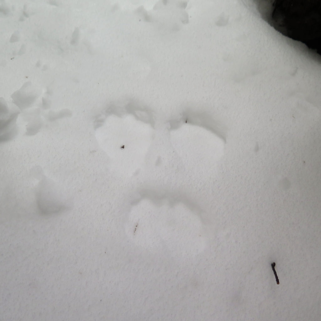
Snowy. Slippery. Serene.
The wind howled all day long. It was creating a ruckus up in the treetops, and occasionally some snow would fall on my head. And even though I was walking through the trees, that banshee wind made it down to the forest floor, albeit in a much weaker form. So it was a presence all day, and occasionally made me feel more chilly than I’d have preferred, even if I was never outright cold.
But that was the least of my worries.
I talked about the Tripyramids alternately being a barroom brawl and a knife fight. Today, I chose to hike up the Walden Trail from Old Mast Road, and that turned out to be medieval combat. Don’t ask me what I was thinking, because I’m still trying to piece it all together. I’ll just smile, nod, and say “it seemed a good idea at the time.” And of course, once I knew where things were going, it was too late to turn back if I was going to bag the summit. This won’t be the first time I’ve licked my wounds, nor will it be the last. Type II fun, yessiree bob.
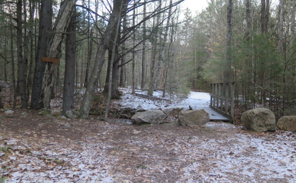
Arriving at the Ferncroft parking area, I was immediately set upon by an 8 month old lab, who couldn’t hold his licker for love or money. The pup was a total (and delightful) spaz, and I thought if his little doggy heart was any more full of joy, it might just burst. Even after a solid five minutes of the zoomies, it was as if the gas gauge would be perpetually glued on “full” and the throttle welded to “full tilt.” I chatted with his human for a short bit, a delightful local who was out on her morning constitutional, and then headed off. There was a pervasive Thursday morning calm to the trail. Little did I know…
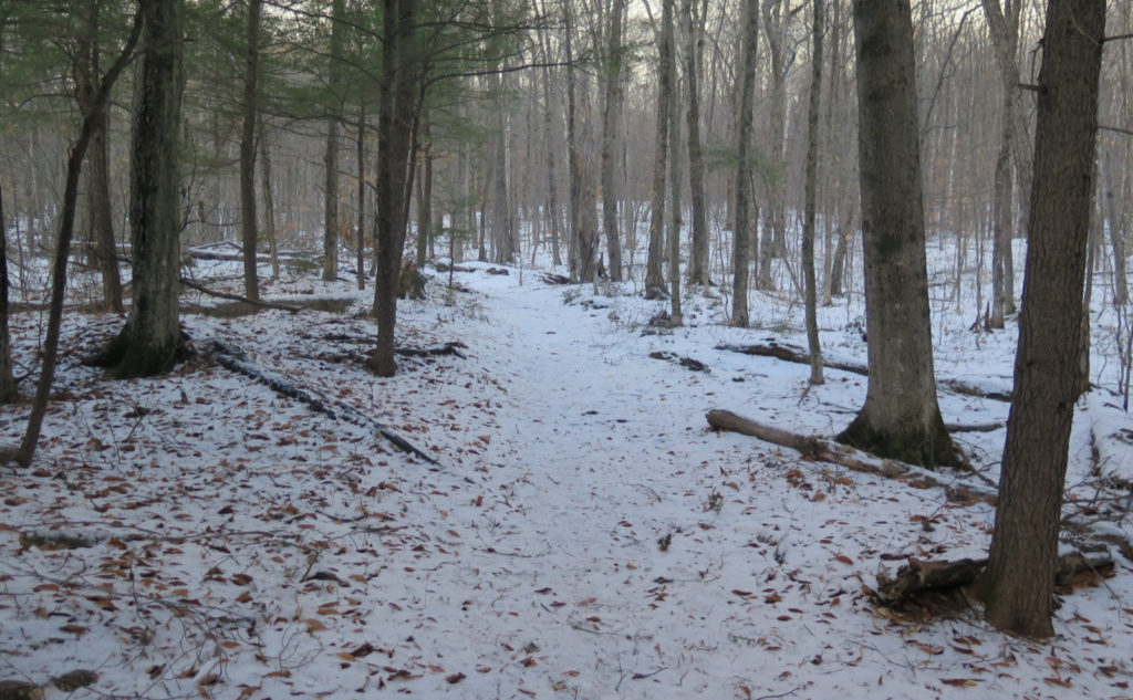
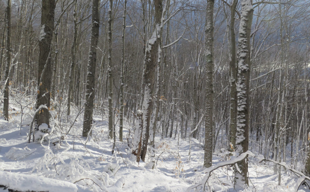
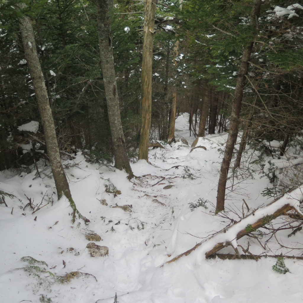
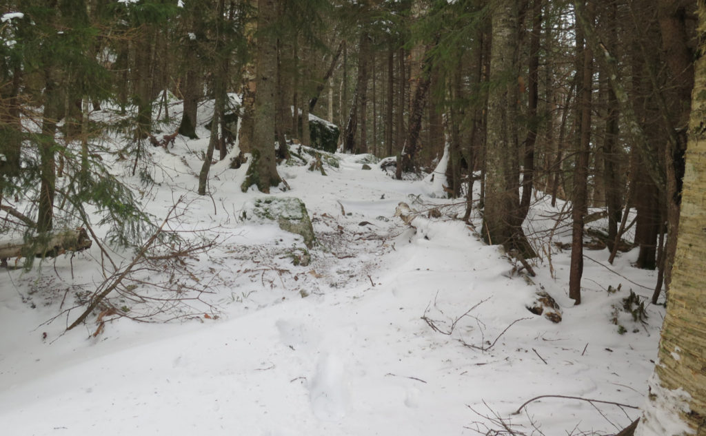
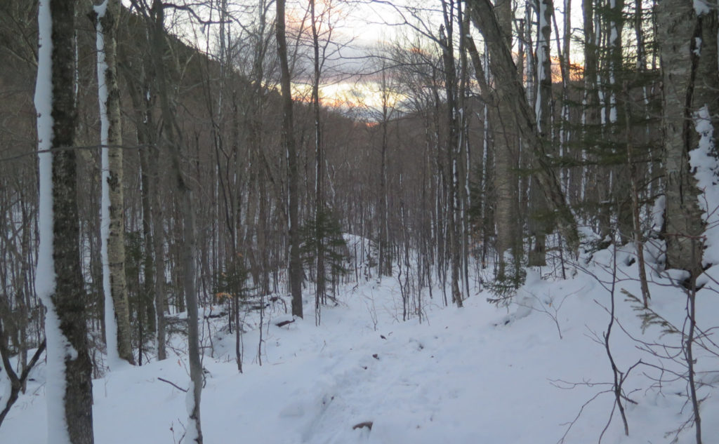
Old Mast Road was about as straightforward as you could want. Yes, there was a thin layer of snow, but it didn’t feel like much. I made decent time across easy grades and through open forest. The forecast was for “partly sunny” but due to some trick of fate, the clouds had a near-permanent gap that lined up perfectly with the sun. It was certainly nippy out, but what little warmth the sun cast did indeed take the edge off. A few minutes from the car was all it took to warm up.
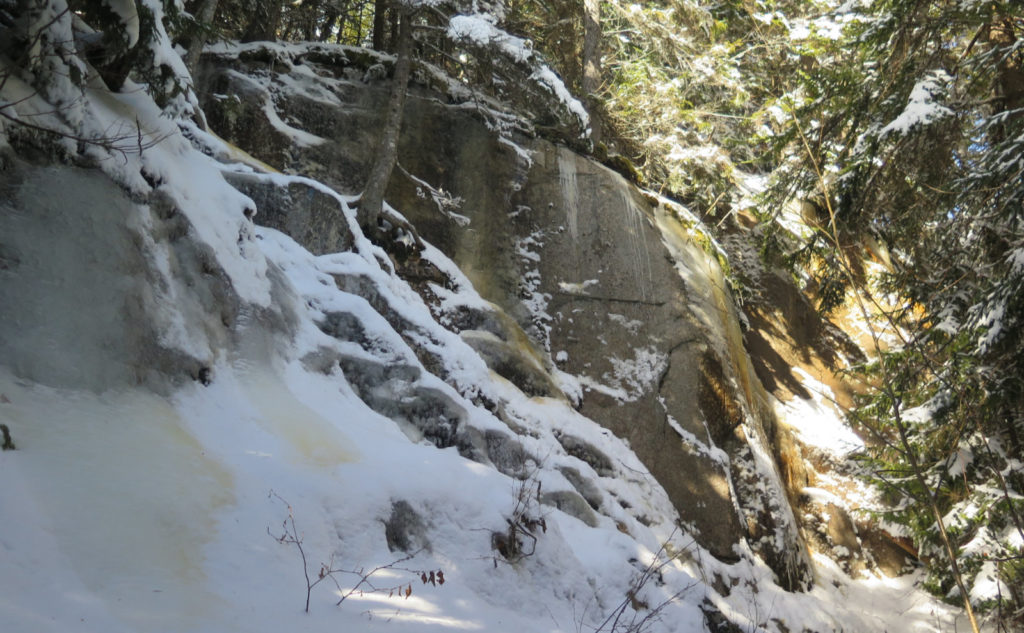
But then, I got to Walden Trail, and things really heated up by a very solid margin. Wow, did they ever. The book says it gets a little steep. It mentions some scrambling. What it doesn’t discuss at all is that it doesn’t stop for any appreciable distance, and when you’ve finally gotten to the summit, you feel like you just went a few rounds with a gorilla. Ooof. No kidding, as I was crossing the col, I was seriously debating whether I’d summit, or just dash across the East Loop, and bag the summit next week.
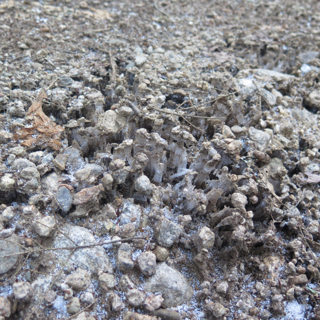
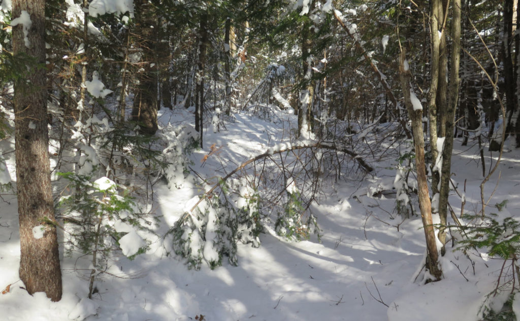
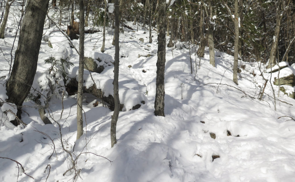
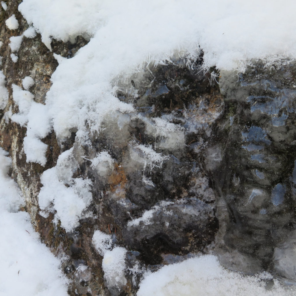
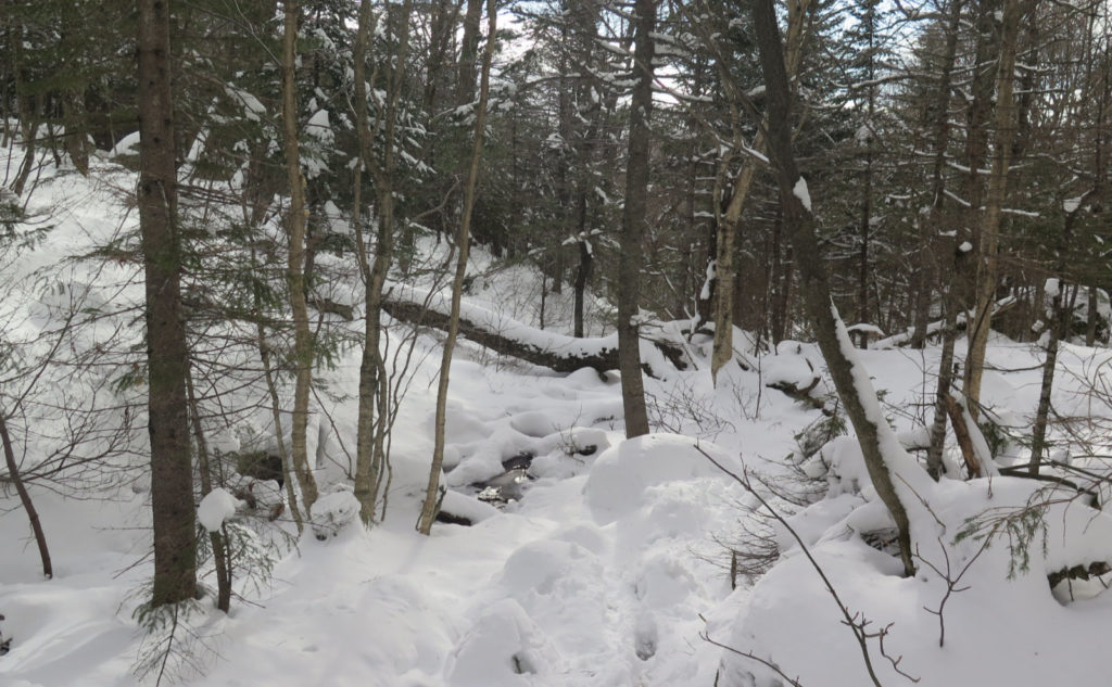
One of the things that was seriously impacting forward progress was the greasy powder snow. It was very unconsolidated just about everywhere, and curiously, I found myself sliding on the anti-balling plates on my crampons. Yikes! Besides that, the ice was very hard, and the spikes sometimes didn’t get a solid grip. It was that kind of day as far as traction went. If I had it to do all over, I’d bring my snowshoes and swap into them once I got to the top of Old Mast Road. Due to some geographic/meteorological phenomenon, once I got on Walden Trail, the snow conditions went to hell in a handbasket. They’d been fine up until then. Weird.
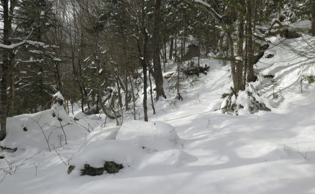
I tried to take photos, but it felt like half the time, my hands were busy just keeping me from falling off the side of a mountain. This is one of the steeper trails in the Whites, and more than once, I was reminded of such greatest hits like Zeacliff trail, Beaver Brook trail, Hi-Cannon trail… you get the drift. I don’t think it was ever as sketchy as things can get across the Bowl on Blueberry Ledge trail, but I’m thinking that where the ledges might have had more homicidal intent, Walden stretches it out longer. (I’d like to come back to this one in the summertime, to see if a drier trail changes my opinion about the whole situation.) By the time I got to the summit, there was little question that I’d paid my dues.
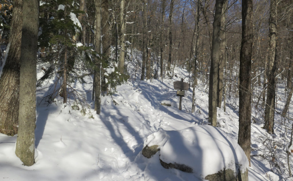
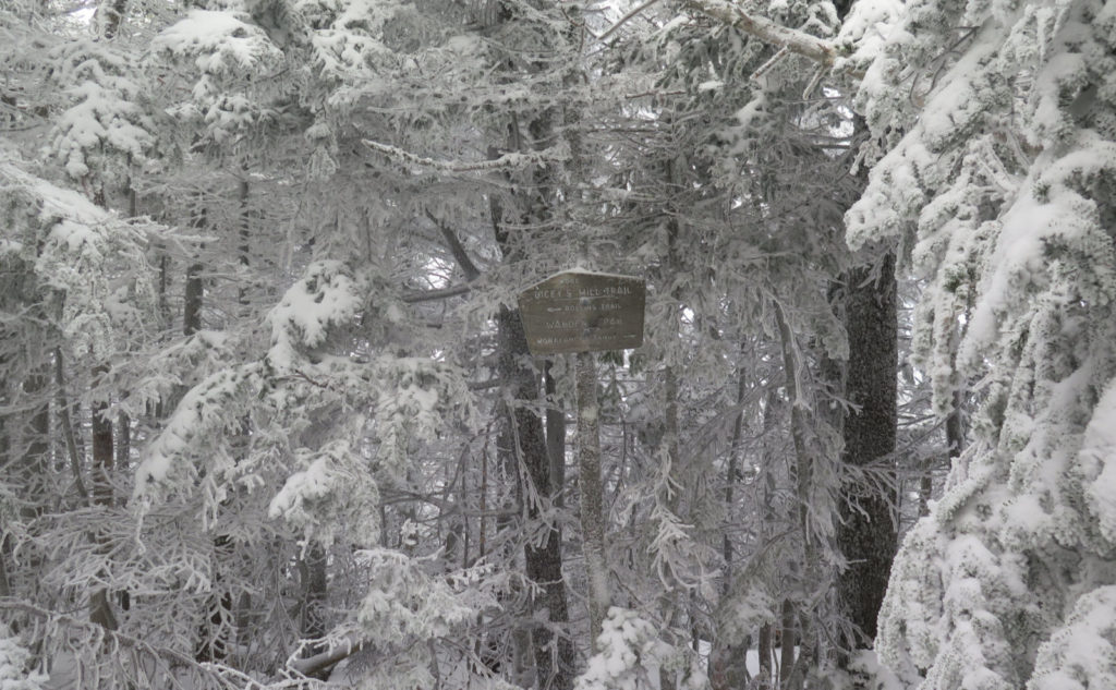
But at last, there I was, staring at the sign where the Walden Trail meets up with Dicey’s Mill trail. And that little spur behind me, stretching the dozen or so yards to the summit itself. I dashed down the mountain, fortunately making good time — as it was, I reached my car with the very last dregs of twilight. Mars was high in the sky, and to the west, Jupiter and Saturn were doing their dance. There were just enough stars starting to make their appearance, and the farmhouse was decked out with holiday lights across the porch.
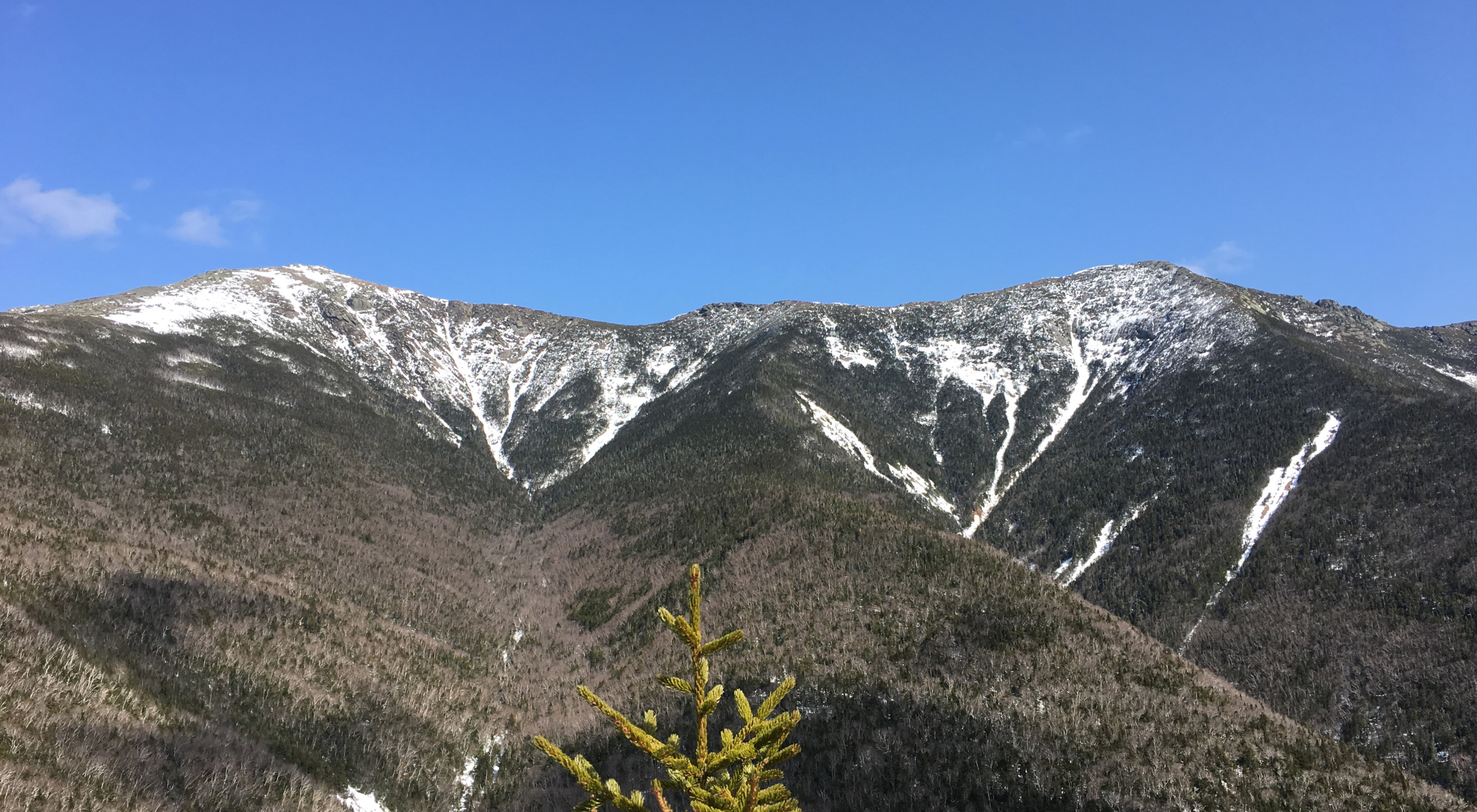
It was a nice way to wrap up another hike. Coincidentally, this was #48 on my autumn list, and I’ve also hiked this mountain now in all four seasons. I’d wanted Passaconaway to wrap up autumn ever since I saw it from Square Ledge. It was a bit more than I expected. But then again, I don’t think the mountains are ever what one expects. And in that way, they live up to their expectations.
As always, stay safe out there.
Nuts and Bolts: From 113A in Sandwich, make your way to Ferncroft Road. Be aware that searching for “Ferncroft Road, Sandwich, NH” in your maps app might bring up an address in Tamworth. For me, at least, that worked perfectly. Ferncroft is actually an unincorporated location, so be aware that you might get a hit in Tamworth, Sandwich, or even Albany.
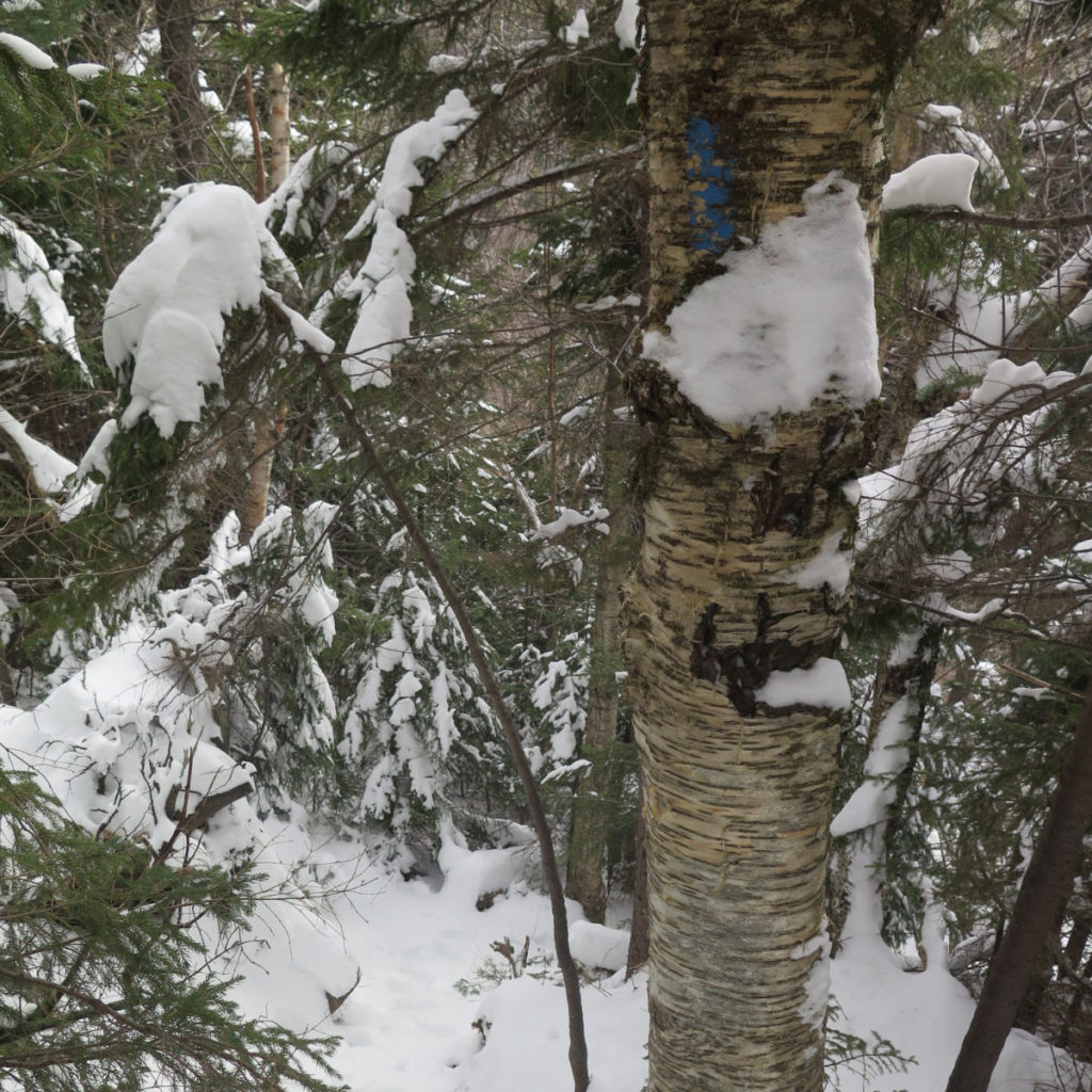
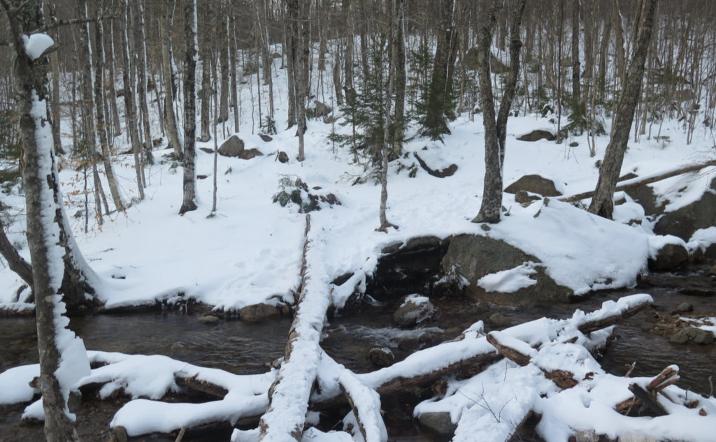
Trailhead will be on the far end of the parking area. As of this writing, the signage is weather-worn, but perfectly legible. Just walk that direction, and you’ll spot it easily. Blazes are blue and overall scarce. Be ready to do some route finding in and around the col, but in truth, it wasn’t all that bad. Occasionally, it seems like there are more blazes than you’d expect.
Without proper gear, I don’t recommend Walden Trail for a winter route, and certainly not for a hiker on a first or second go-round of the four thousand footer list. Micro Spikes are likely insufficient traction for quite a few parts, due to some pretty vertical scrambling, and ice in all the wrong places.
If you enjoy reading these posts, please subscribe — stay in the loop! Your email will only be used to alert you of new posts — typically 1-2 times per week. I will not use or share your email for any other purpose without your express permission. And feel free to share via social media using the buttons below.
Find me in the mountains, on this blog, or on Twitter: @Protean_Hiker https://twitter.com/Protean_Hiker/
2 thoughts on “Trip Report: Alone on Passaconaway”