Cooley Hill (2,480 feet). Easton, NH. 2020-12-19 (Saturday.)
Via Jericho Road Trail. 6.4 miles round-trip. 1,250 feet elevation gain.
18 dF at the trailhead, 26 dF at the summit. Calm — very minimal air movement, if any at all. Sun, with a very thin high-altitude haze in some areas.
Trailhead: 1200. Summit: 1420. Car: 1600. Four hours, trailhead to trailhead.
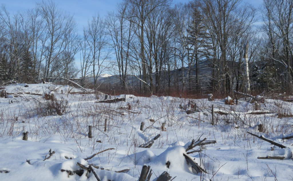
Bleached Birch Branches Beckoning Beneath the Blue.
When I was contemplating what to do this week, I reflexively turned to the spreadsheet of doom, where I’m logging my grid and my redlining hikes. Being the last week of Autumn, and having capped off that season’s 48 list quite neatly, I didn’t really want to leave a single autumn hike just hanging until next year, because of aesthetics. I know, weird. Winter starts on Monday morning, so I am thinking about that list again. Just not now.
But also, after Passaconaway, which was harder than expected, I wanted to do something short, sweet, and non-committal. Honestly, an out-and-back on anything flat would have done nicely. Today, I got almost that… ok, not terribly flat, but easy grades nonetheless, and not a crazy amount of elevation gain. The trail hews to an old Jeep road to the site of an old fire tower. Thoughts of hiking up Red Hill, and even taking the Fire Warden’s trail up Mt Hale came to mind. I wasn’t disappointed.
Oddly… checking the time stamps on the two photos I took of the trailhead sign, this hike took, to the second, exactly four hours, out and back. Maybe I should have bought a lottery ticket on the way home. But then again, I think I already won the lottery long before I got back to the car.
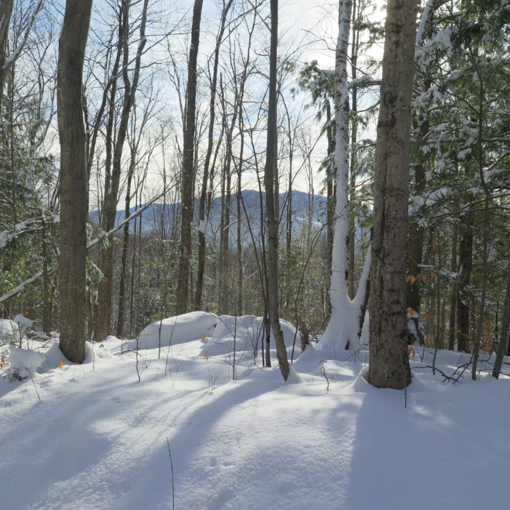
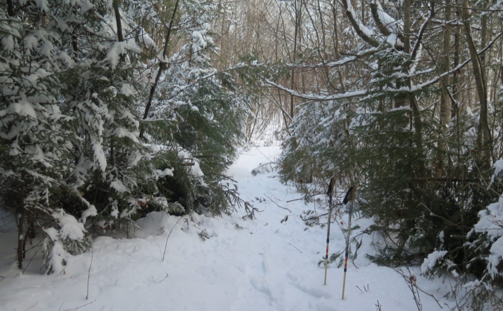
I started out wanting to make miles. For the first mile, that’s what I did… kinda… sorta. And then I noticed that I’d subconsciously started to slow down, watching the sky reaching its way through the trees. The branches reaching heavenward, up, into the azure depths. Occasional showers of light fluffy snow, falling from above, shimmering through the air with an ethereal effortlessness. I didn’t bother taking a picture: I’d never get my camera out in time. Those moments are for the camera of the mind.
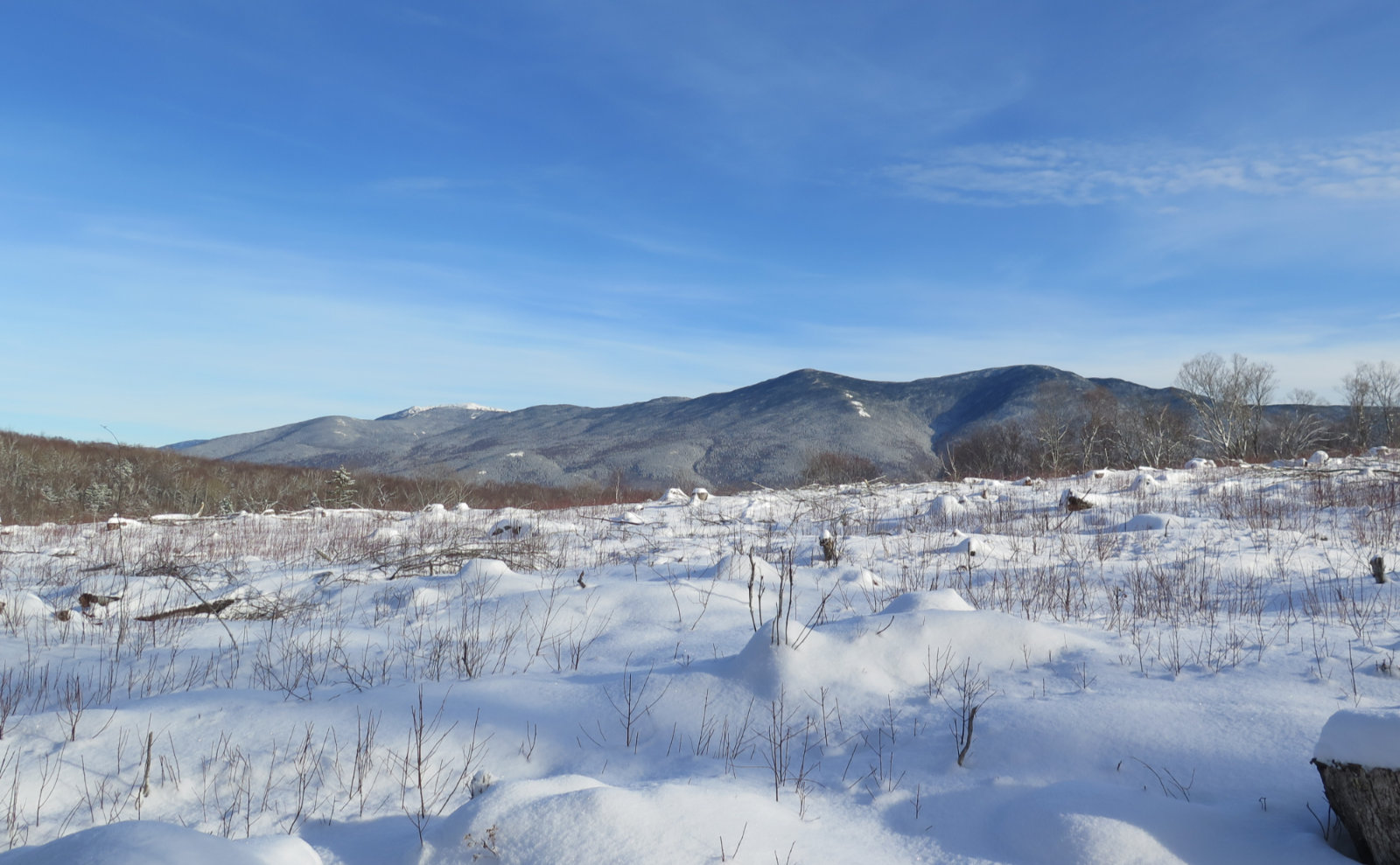
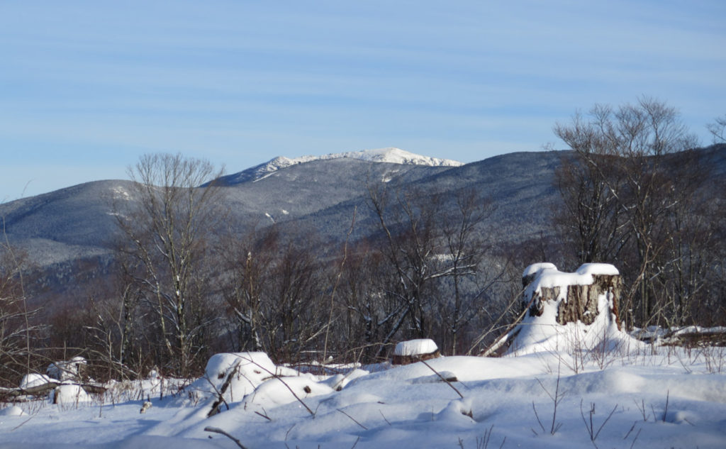
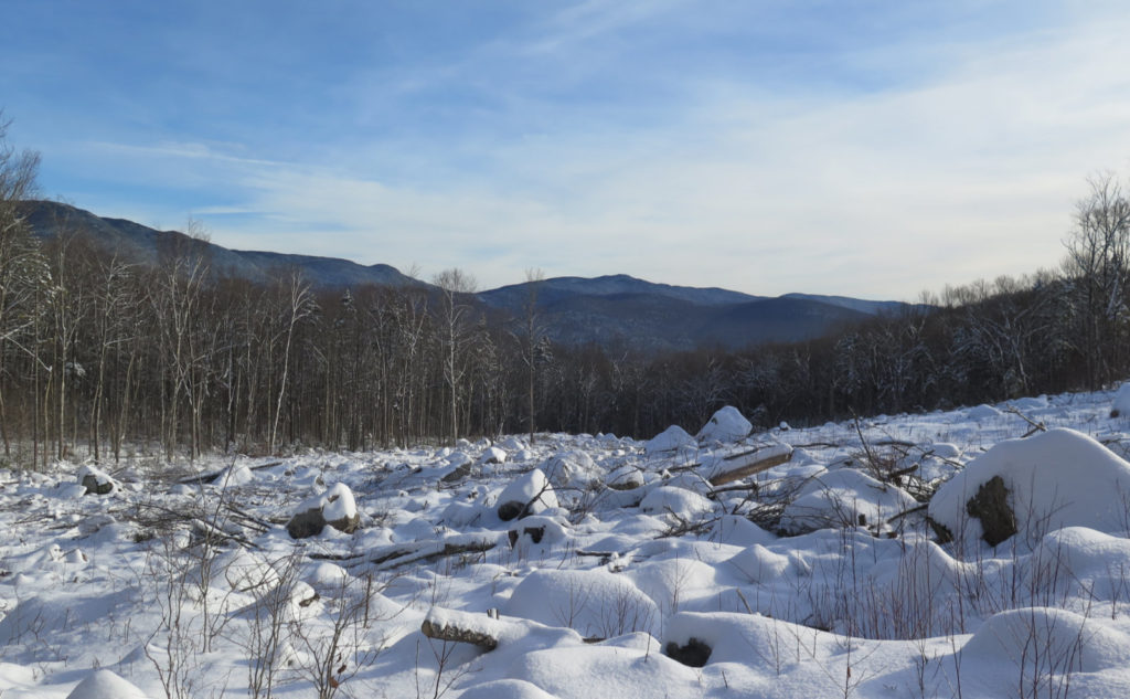
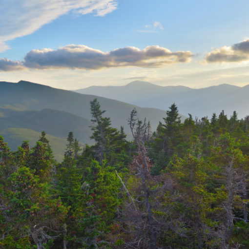
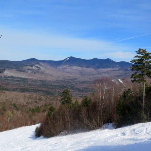
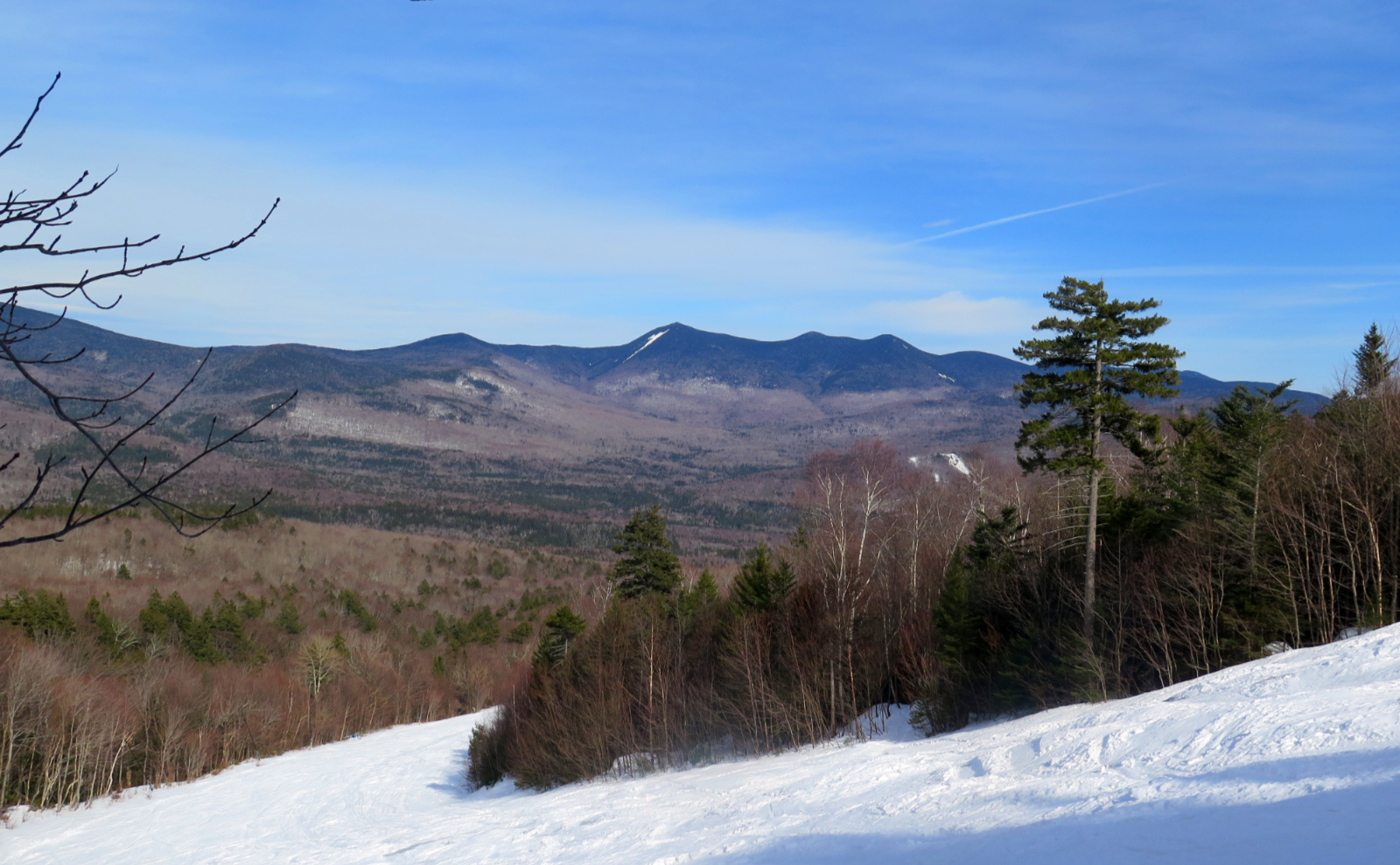
As I pressed on, I reached a clearing. In the distance, views of the Kinsmans nearby, but then I went further along the trail, and now Cannon, not so much further away. And over Cannon, a surprise, clad in purest white… Lafayette! A tiny sliver of Lincoln to the right. Next to South Kinsman was Mt Wolf, and I gained a rich understanding of why that hike felt so hard. All forward motion almost ended at that point. I slowed way down, savoring that one, elongated moment that suddenly took about half an hour to unfold the rest of the way. Why put the blinders on and rush past these epic, sweeping views? Why indeed?!
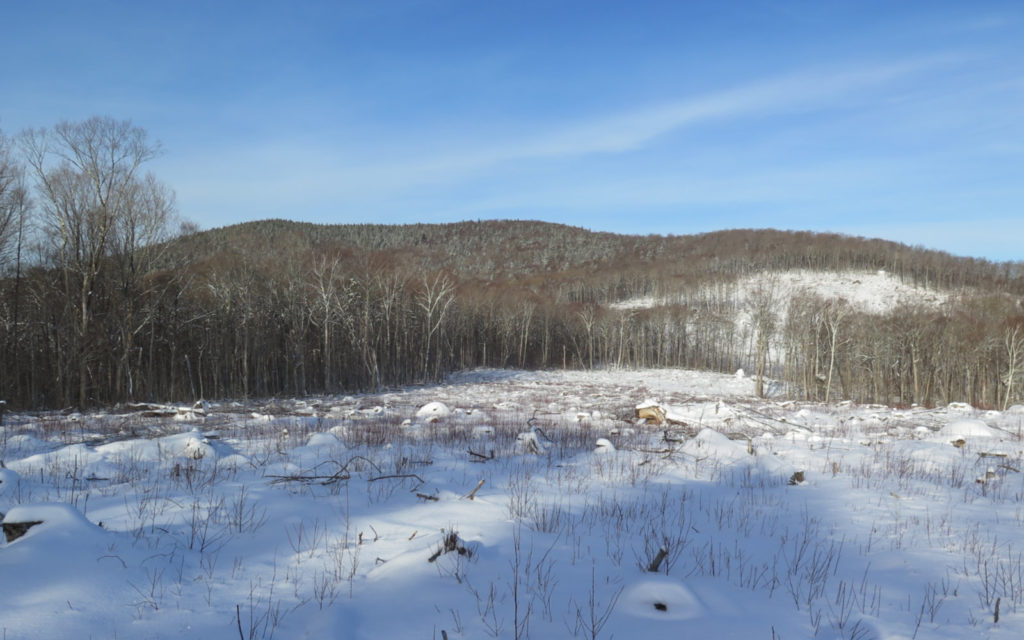
I realized the goal wasn’t the top of the mountain anymore. With every step I took, I was where I needed to be. Still pressing onward, but the urgency to summit was no longer there. I was where I needed to be at all times. I had reached my destination, and my destination was re-attained with every step I took. The summit was still in front of me, Cooley Hill, yes, but why rush? I had so much around to take in. As I moved on, the views of the nearby mountains evolved. After a bit, I couldn’t really see Cannon anymore, but I got a better look at Wolf. And so on. It kept unfolding, almost with every single step.
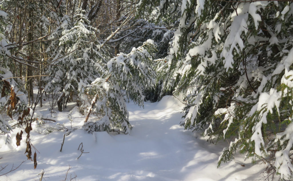
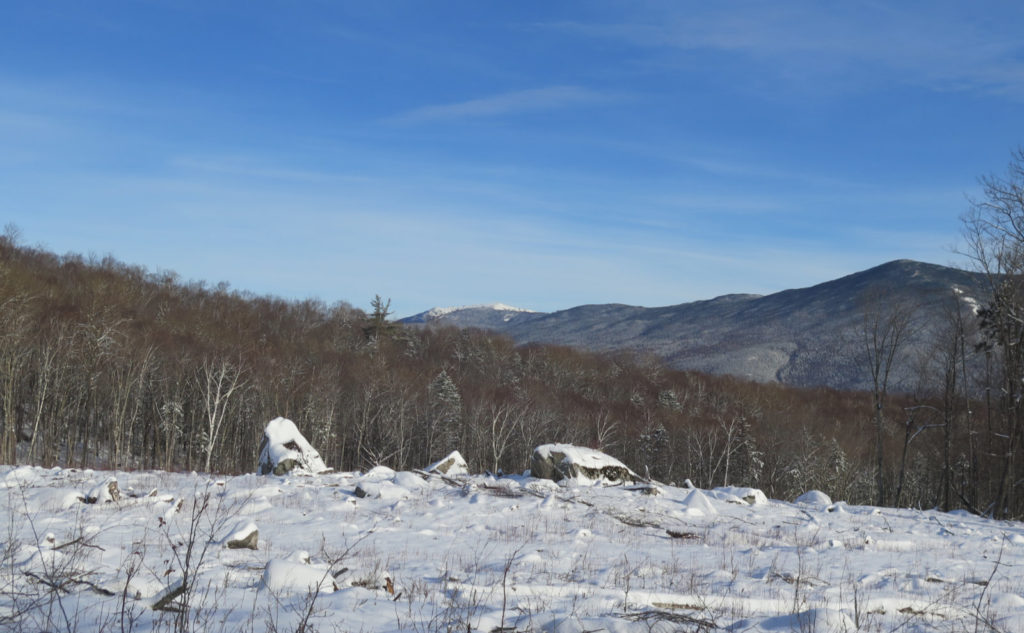
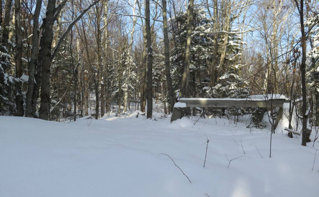
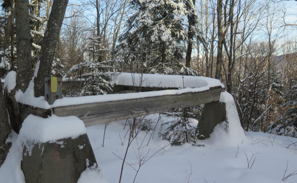
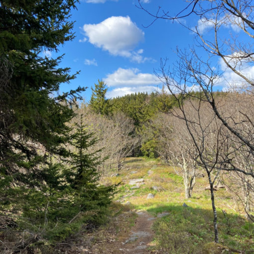
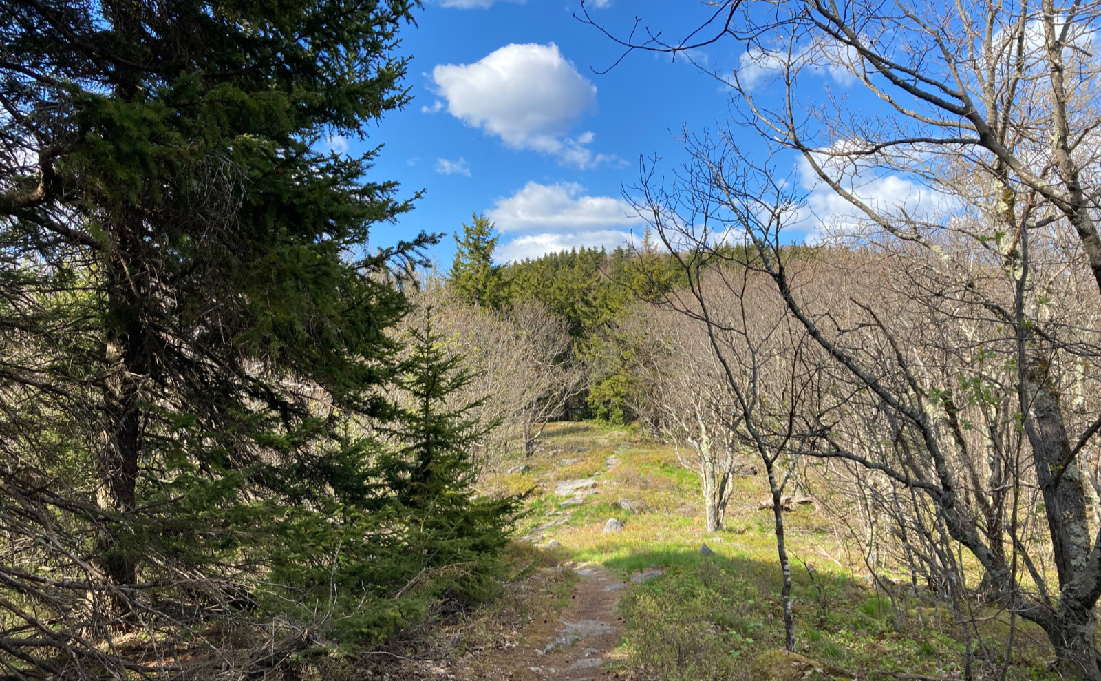
The trail made a last pitch upward, and re-entered the trees. I leaned into it, feeling the cold fresh air in and out of my lungs. It was nowhere near as hard as on the average four thousand footer, but there was a modest effort, and with it, the joy of that effort, capping off the joy of that view. Ahead, the foundation of the old fire tower finally came into view, and beyond, something that might have been the summit. I muddled around, and found what was almost certainly the high point. But the destination was always there with every step, each taken under a limitless azure sky. Who needs a four thousand footer to have an epic day in the Whites? Altitude: Optional!
As always, stay safe out there.

Nuts and Bolts: Hop onto 112, off of exit 32. Turn right, toward Woodstock, and drive as if you’re heading to Beaver Brook trail (the AT) and then keep going. 116 peels off to the right, and you’ll want to follow that as it heads north, into Easton. (Oddly, Easton is west of the Kinsmans. Don’t ask me why. I’ll just tell you “because moving mountains is meant to be a figure of speech, not actually done in real life.”)
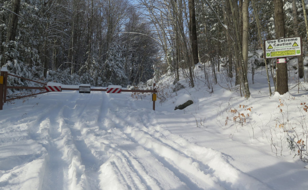
The trailhead is up the road (from that junction) by a little over a mile, on the left. The sign can be very easily missed, not the least of which because it’s small, set quite a bit off the side, and also positioned sideways. (So looking out the side windows, you’ll see it edge-on as you pass.) As one A. Dent once asked: “Ever thought of going into advertising?” Better to look for a fire road, because that’s the trail for the first quarter mile. Alternately, the sign is more visible if you approach from the north, heading south. There is space for a couple/three cars or so to get off the road immediately before the gate; just be small, and there should be enough room if everyone thinks of the next guy and plays fair. Please, everyone, be an ambassador for the sport. If the snow isn’t making for a clean parking job, reconsider the situation accordingly. You may not hear it, but everyone will thank you.
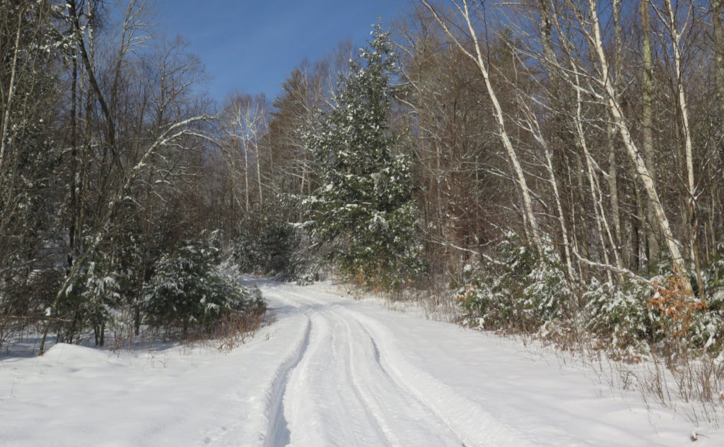
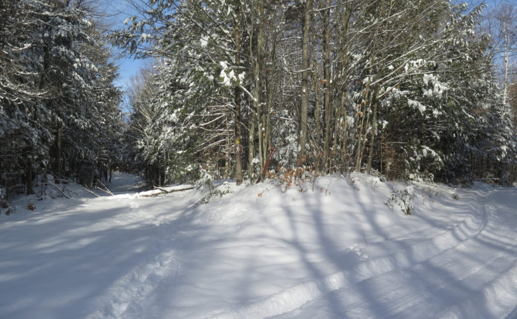
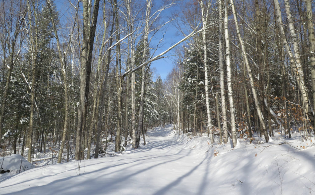
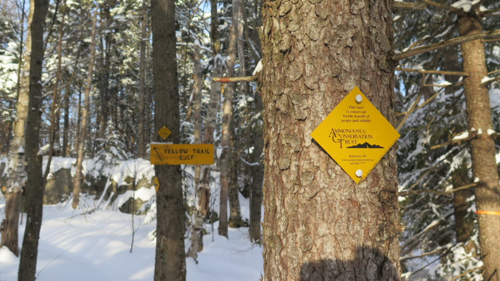
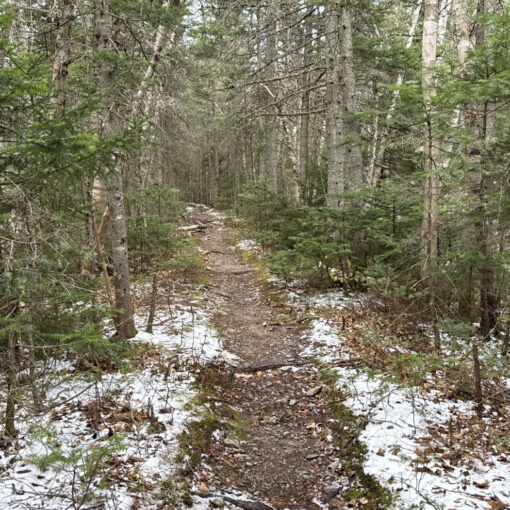
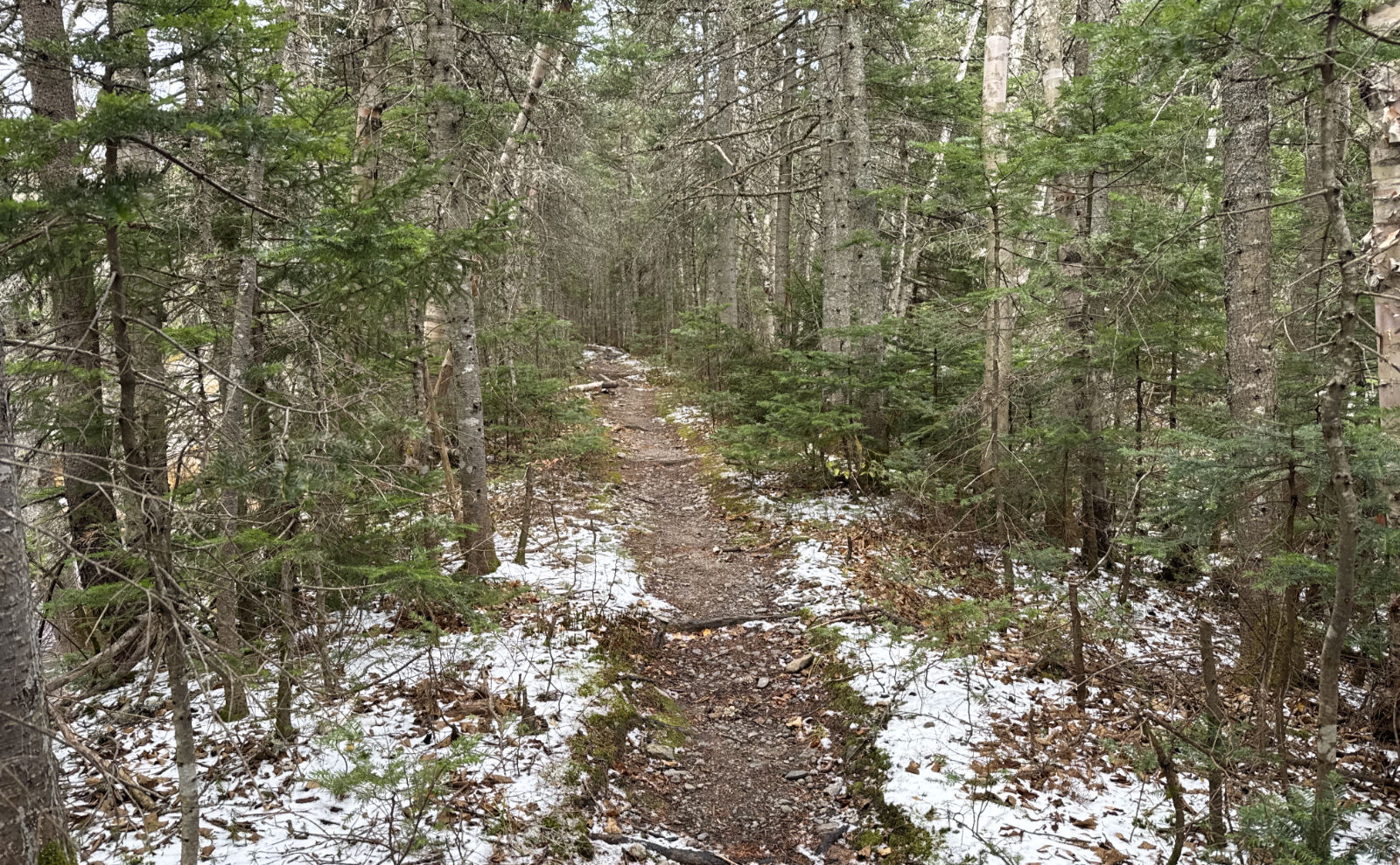
Blazes are a consistent yellow, although I might have seen about a dozen all day. Just about completely unnecessary, as I found things. The trail, almost all the way, right to the summit, is a truck road, and very hard to miss. There is one spot where it isn’t obviously a road and you’ll be past it without realizing you weren’t on a truck road. You’ll also notice occasional pieces of surveyor’s tape, and perhaps my footsteps if you head out there soon enough. One thing to make sure of: just a tad further than a quarter mile in, the fire road splits. Besides that, I had no problems following the trail at all.
As of this writing, there are truck tyre tracks from the gate at the road, up to beyond this split, heading off to the right. At this point, bid them adieu. To the left, there’s an obvious continuation of the road, but no tyre tracks. There is, however, a tree-trunk across the trail and nearby, a small hiker sign. Take that left fork: hop over that fallen tree-trunk, and pass so that hiker sign stays on your right, or you’ll have a very interesting time reaching the summit.
2 thoughts on “Trip Report: The Road to Cooley Hill”