Mt Hale, Bethlehem, NH. 4,054 feet. 2019-11-02 (Saturday.) Via the Fire Warden Trail. Approx 7 miles. Approx 2,000 feet of elevation gain.
45 dF at the trailhead. 40 dF at the summit. Negligible winds above treeline. Unbridled sun. Remarkably clement, “sweatshirt weather.”
Trailhead: 1150. Summit: 1400. Car: 1640.
NOTICE TO HIKERS: If your plans for the near future involve hiking up the Twins, know that the Little River is swollen and raging as of this writing. Recent heavy rains are draining off the mountains, and the crossings are dangerous at best, featuring cold, deep, swiftly-moving water. Consider alternate approaches to those peaks.
Best. Day. Ever.
This is one of the most pedestrian mountains in the entire 48 list. Right? Or did I miss something? And yet, I had the time of my life bagging this summit. For the last peak of my second go-round of the 48, it was a very memorable day for all the right reasons.
I was in his shop one afternoon when Steve Smith suggested I take the Fire Warden’s trail up Mt. Hale. Ages ago, there had been a fire tower on the summit, and a trail branched off of the North Twin Trail. In his estimation, this was a fine way up. Owing to the usual way life intervenes, it was more than a few weeks before I could address his suggestion. But I’m very glad that he put this bug in my ear, and that I followed his advice. It was an excellent day out. (And this is even taking into account my usual appreciation of any day out in the mountains.)
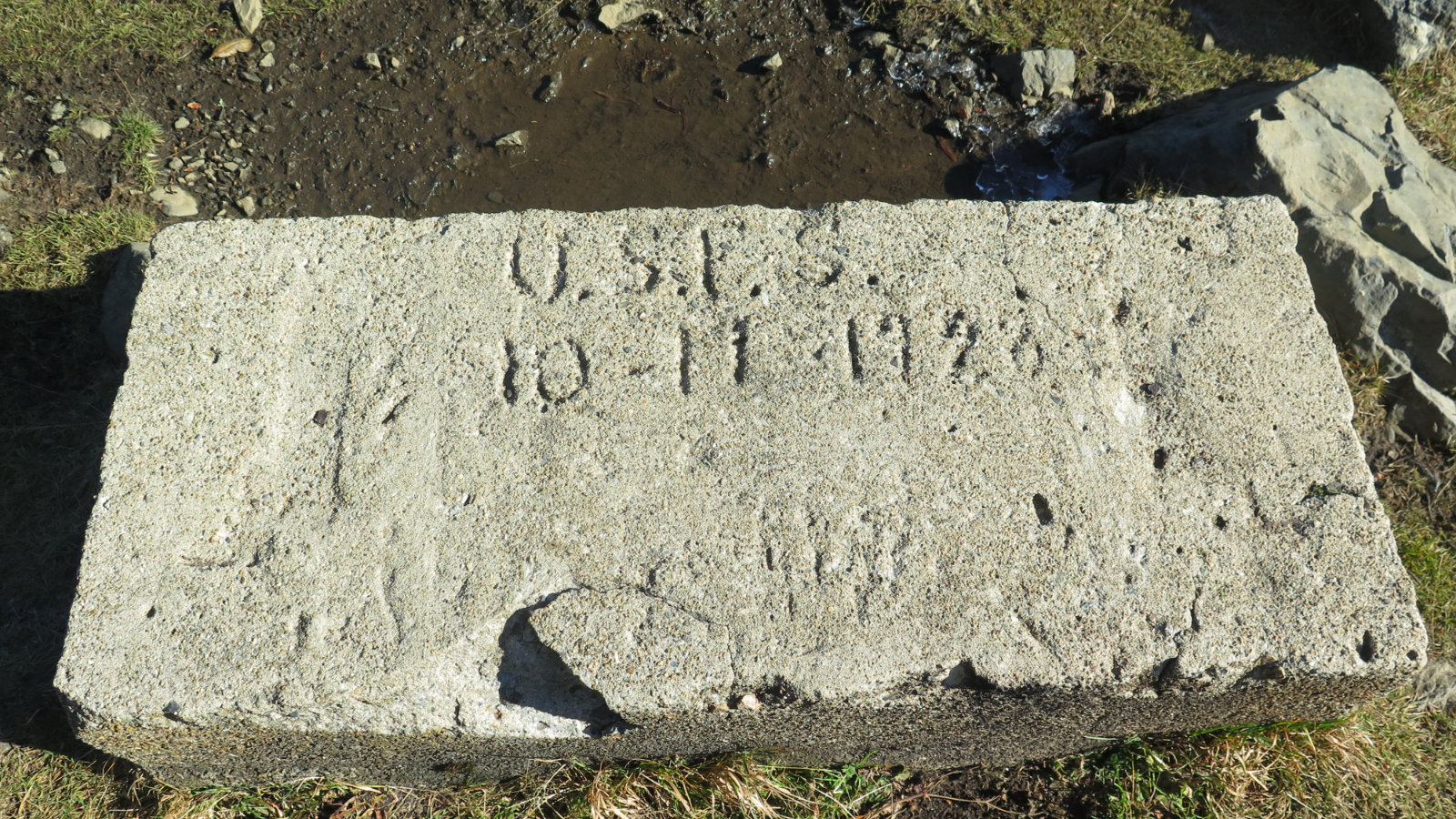
In the early editions of the AMC White Mountain Guide, there’s the Hale Brook trail, and the Lend-A-Hand trail, mostly as they appear in later editions. But in my 1936 edition of the AMC guide, it’s listed. In 1955 and editions thereafter, it’s not. (Unfortunately, I don’t have any from the 1940s.) To the internet we go, and on further looking around, I found out that the tower had been built in 1929, was taken out of service in 1950, and torn down in 1972. I found a photo that even showed the dirt road leading up to the top. (And for those who shake their fist at the lack of a view from that summit, yep, the warden had a view even without his tower. Le sigh.) In that oldest of my AMC guides, they even consider that the uppermost 2 miles of the trail, “6 to 10 feet wide,” makes for some excellent skiing. So the trail must still exist, right?
Hi ho, hi ho, it’s to the woods I go…
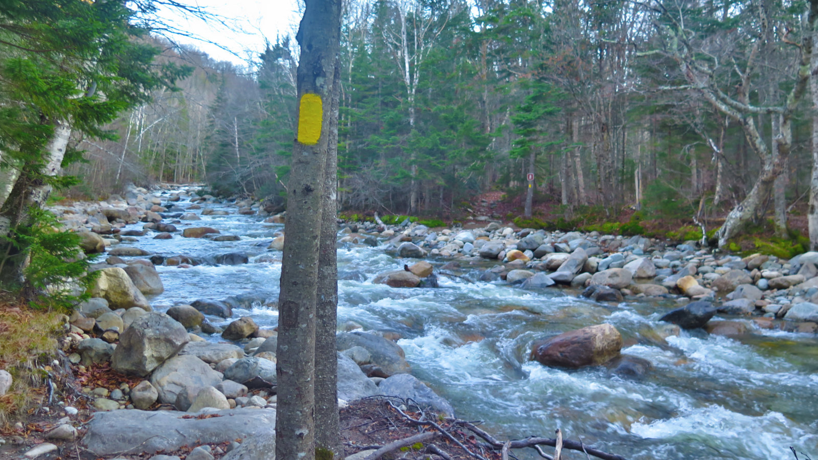
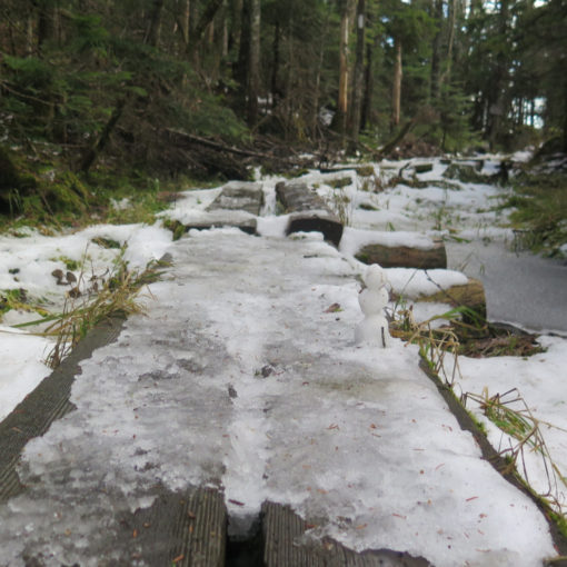
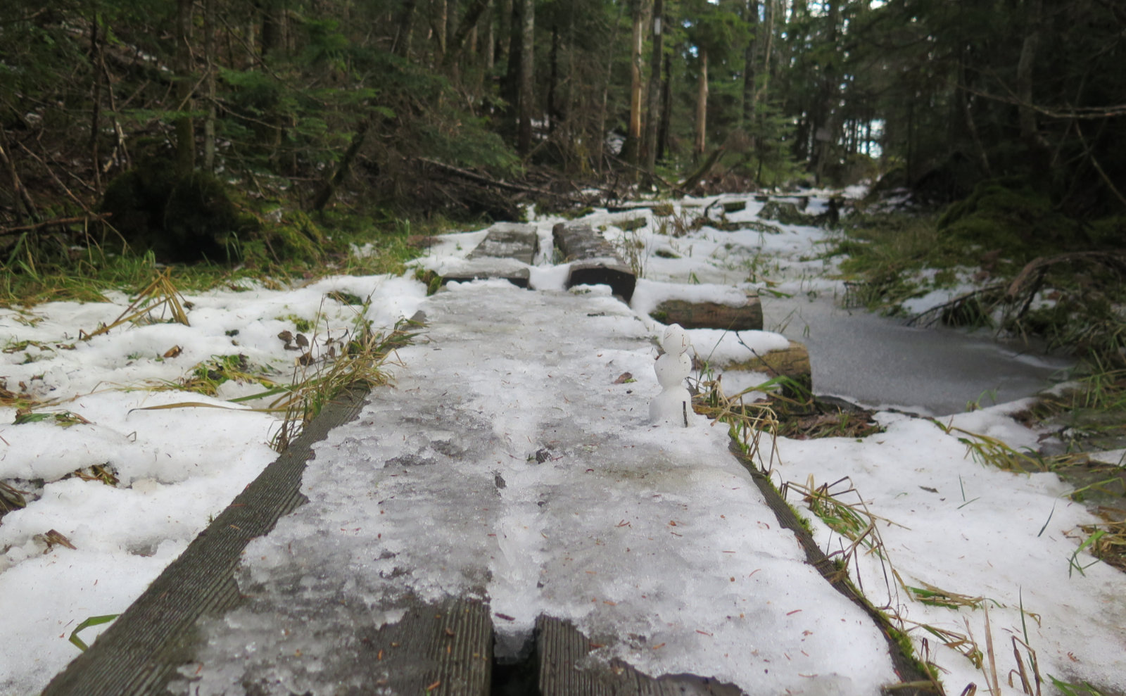
I started down the North Twin trail. As of this writing, the gate’s still open, FR 304 is still in actually quite nice shape. The trail, however, was very wet from the recent rains — if you’re not wearing Gore-Tex boots, your feet will also become wet despite your best efforts. I passed three different hikers, who all had the same message: the river crossing is dangerous. Two were throwing in the towel on their hikes up North Twin after seeing the first river crossing. (If you guys are reading this, I think you made a fine choice. That river was all kinds of dangerous. The mountain will still be there whenever you get back.)
One guy actually hiked to the third crossing and made it in frigid, knee-deep water. The sort that leaves you stomping your feet for a long time afterward, trying to get the feeling back. When I said I wasn’t doing the Twins, but rather, Hale, he smiled knowingly. “I was up there the other day. The trail is in great shape. Lookout for the blow-downs near the summit.” So that was a nice bit of info. I pressed ahead, and after the first river crossing, kept my eyes peeled. I looked for the tree with the hatchet mark, and once there, scanned around for evidence of a trail. Luckily, it’s not terribly easy to find, but it’s not terribly hard, either. I didn’t, however, feel bad for completely missing the mark the last time I was out here. I climbed up an embankment, and there it was, the trail stretching out into the distance.
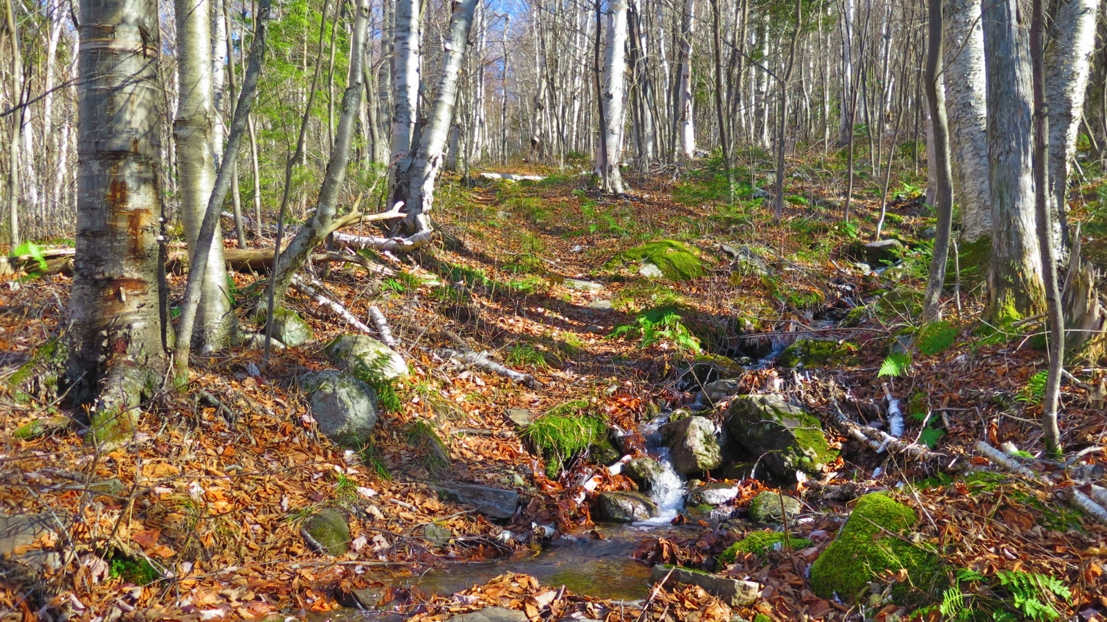
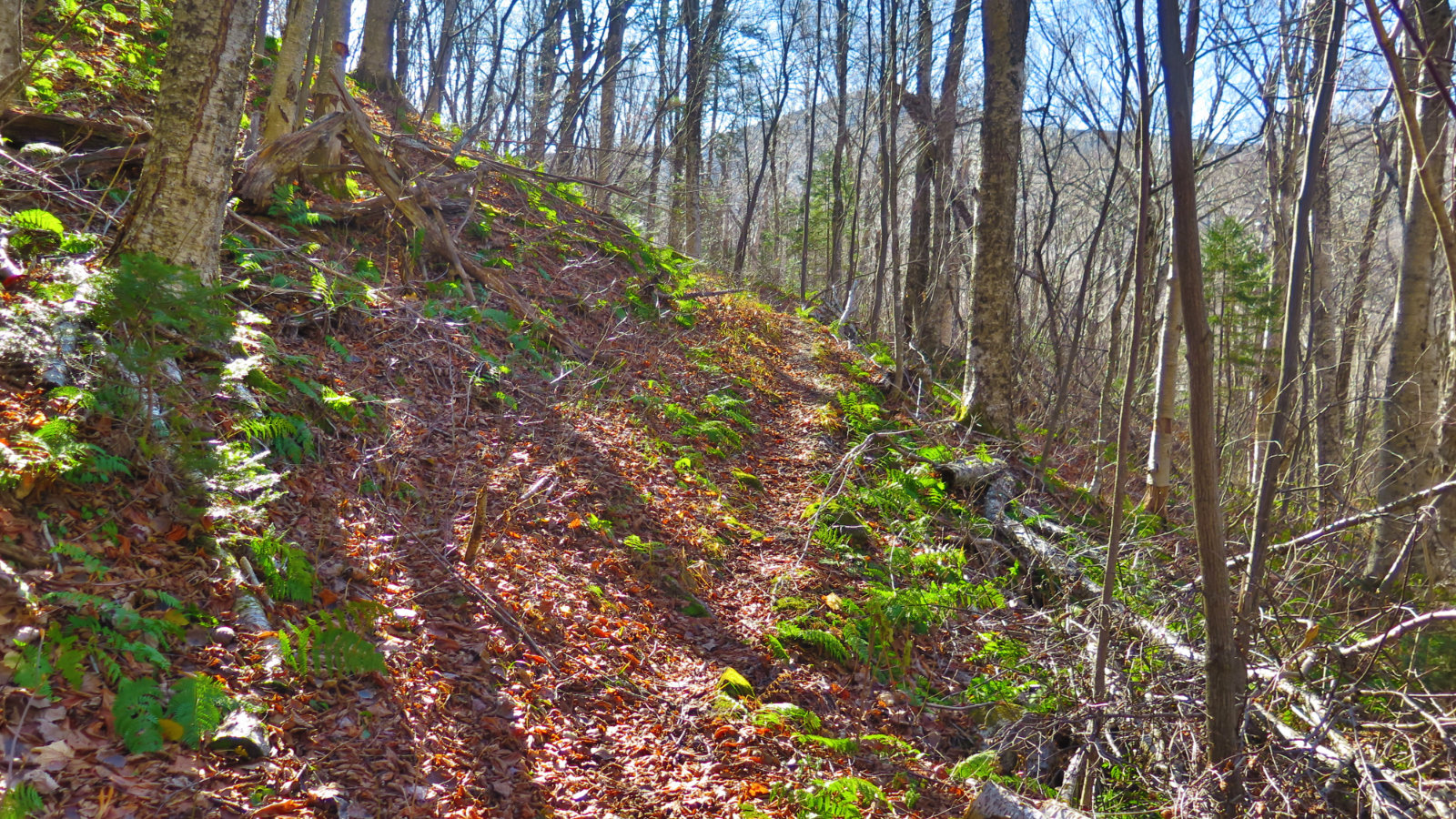
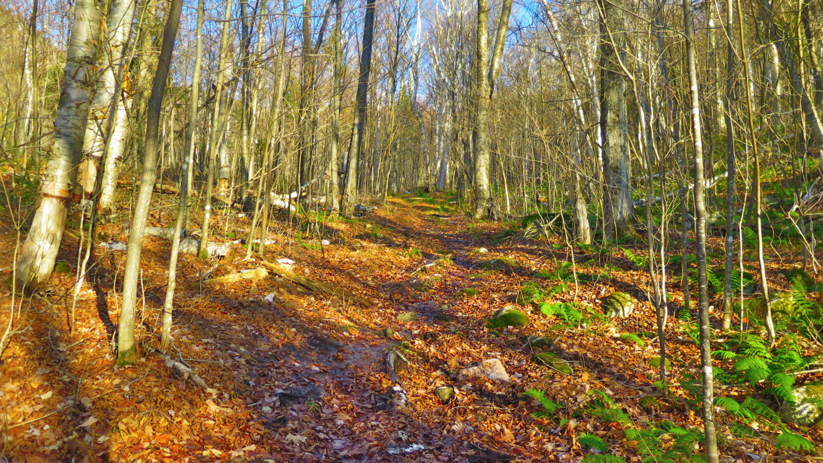
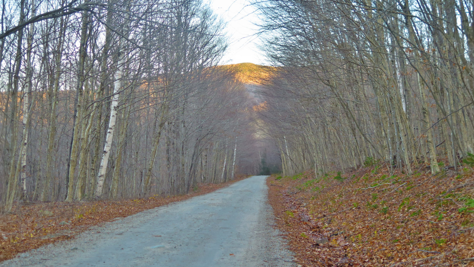
And a fine trail it was. I was worried about route finding. There’s nothing to worry. The AMC guide talked about birches and cherry trees. Internet forums mentioned lovely birch glades. Neither mentioned that the trail follows a drainage for a lot of it’s lower half, but it actually wasn’t bad, and really, much better than the North Twin trail — I could dodge most of it. With unbridled sunshine on my shoulders, I made easy time up a mostly gentle slope. The trail was largely packed dirt and leaf litter, and in many areas, still was very nearly as wide as mentioned in the book.
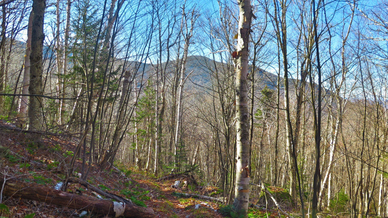
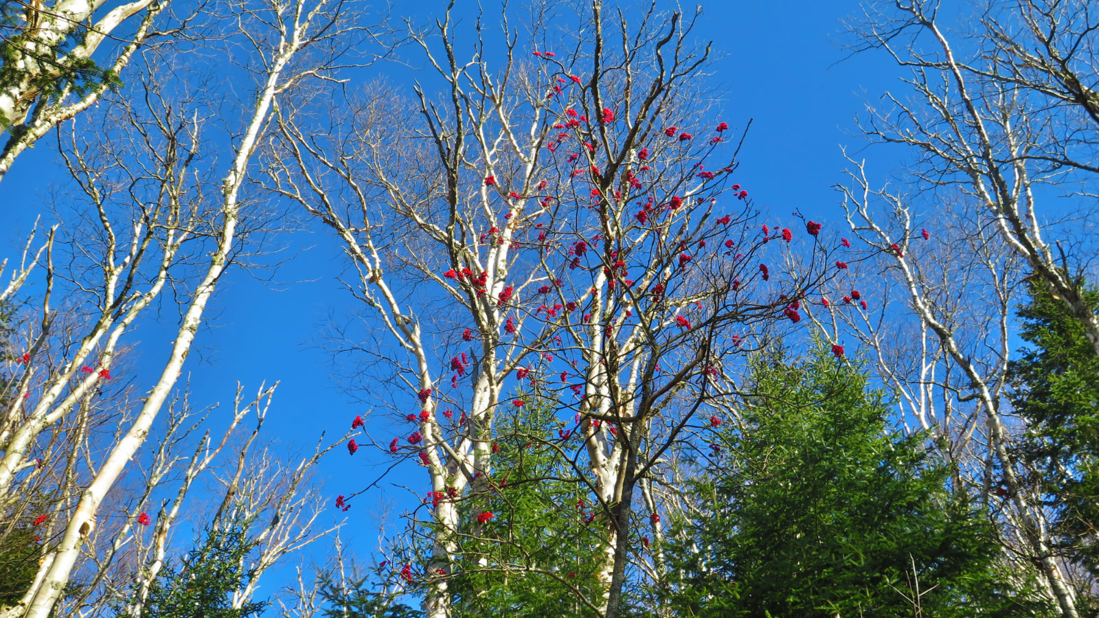
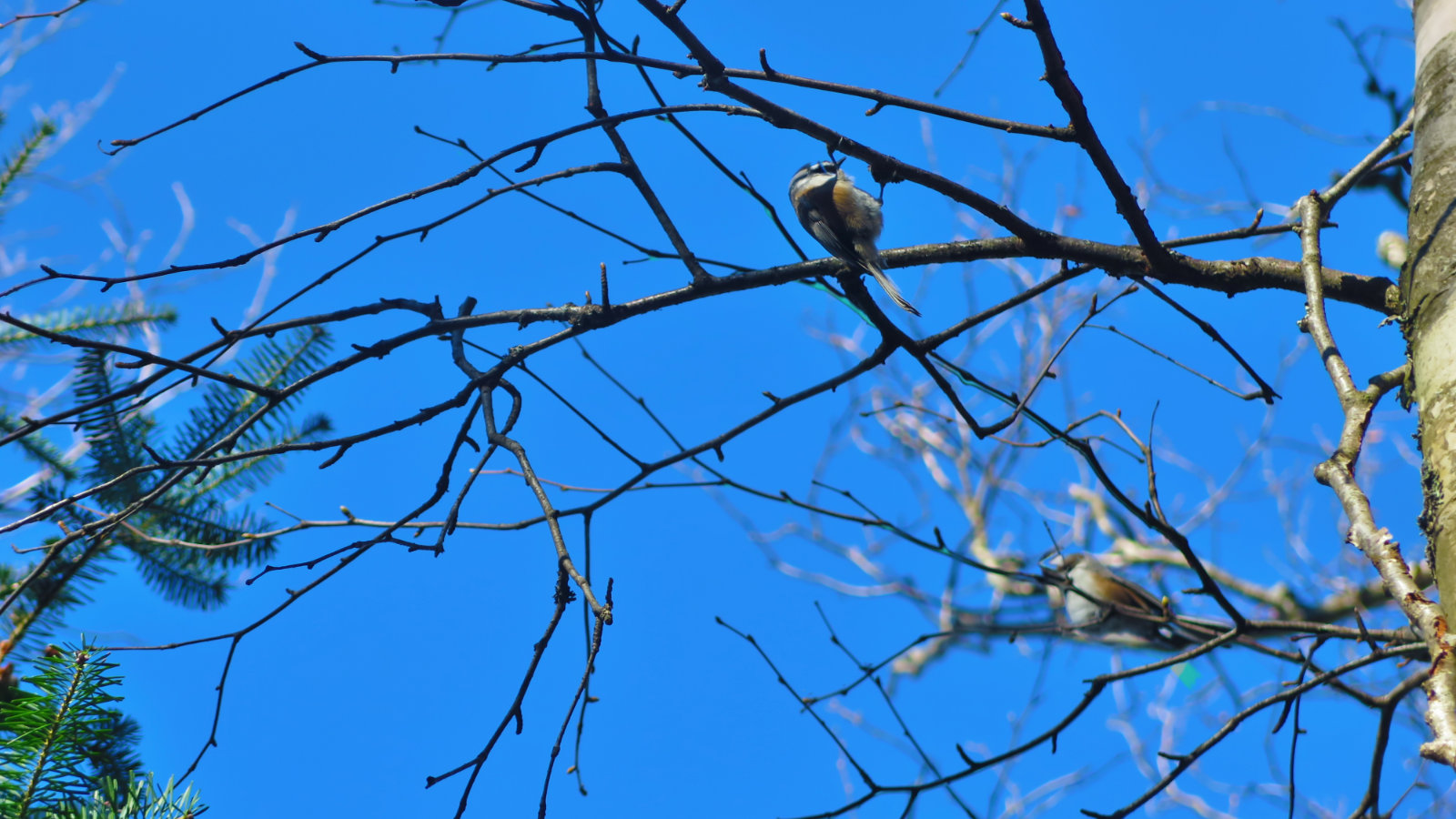
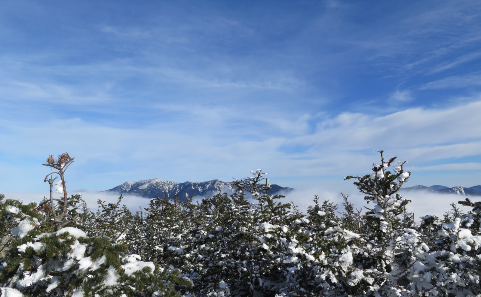
Oddly, it felt like an early spring day. There was a lot of nattering by the birds overhead in the trees. The air was a little cold and very fresh, and the sky was that deep azure blue that you dream about. Birches were in massive abundance, and against the sky, they were striking. Red berries (mountain ash or dogwood, maybe?) stood in bright contrast. With the orange leaves underfoot, and the deep greens of the spruces all around, it was quite the explosion of color. There was more than a hint of anticipation in the air, for some unexplained reason. Didn’t matter; it was a magnificent day to be outside, the kind that makes the most lasting of memories.
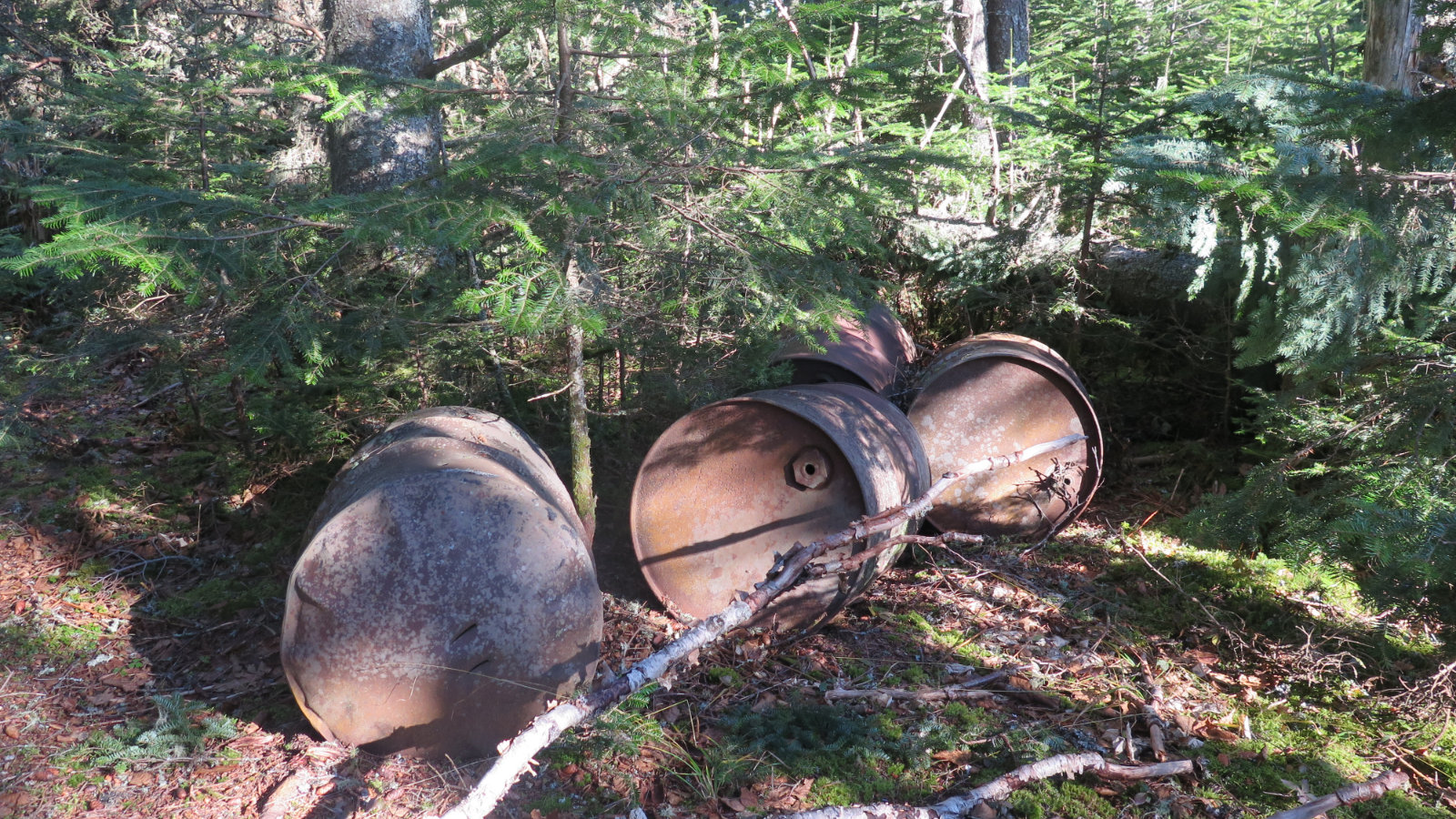
Nearer the summit, the pitch of the trail began to level out. And then, for some odd reason, I spied four old metal drums, cast off the side. It was still a bit away from the summit, so I wondered about that — the trail didn’t seem wide enough to still be a road, but I guess the trees grew back just that well. Shortly after, I found the blow-downs I’d been warned about. I shoved my way through, promising myself I’d do something about them on the way down. Minutes after, I broke through the trees onto the summit. Huzzah!
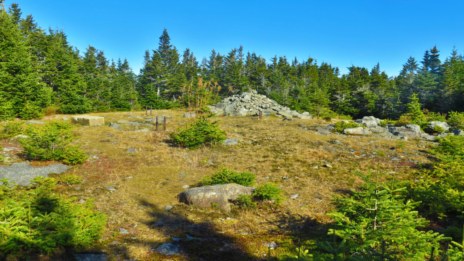
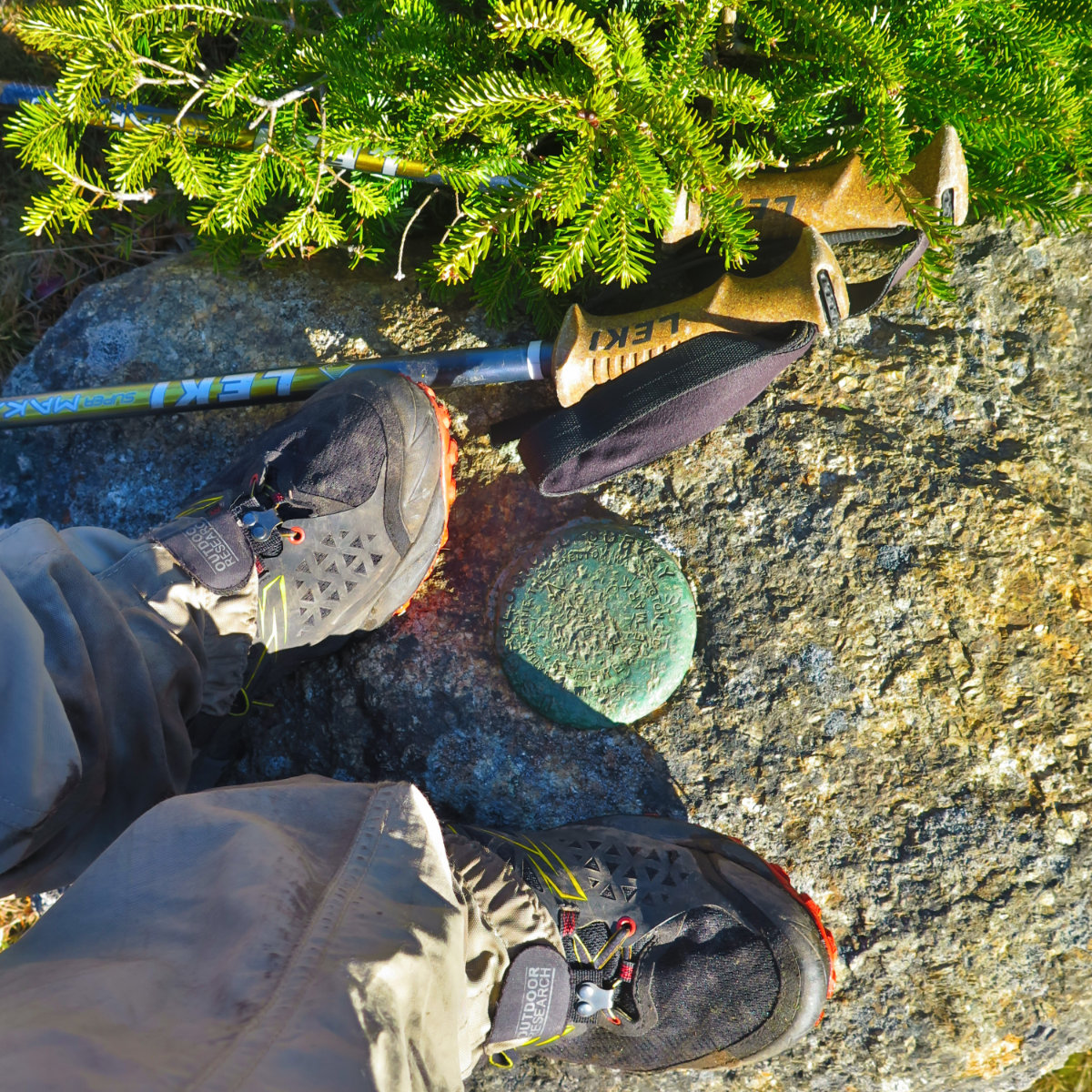
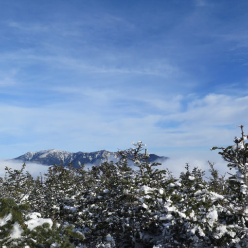
It’s the familiar story; viewless, but there’s a gigantic cairn. Off to one side, a summit medallion. Old bolts sticking up where the old fire tower once was, with the concrete block at the base of its stairs reading “U.S.F.S. 10-17-1928” — cast a year before the tower was put in use, apparently. I got my summit selfie with the medallion, and then headed back. I stopped at the blow-downs and made quick work of them with my folding saw, putting that bit of trail back in alignment with the rest. And a couple hours later, after a glorious walk down, North Twin on the left, and Peak Above the Nubble in front, I was back at the car.
It’s weird: for a trail that’s not in any modern edition of any trail guide I’ve seen, and that’s not on any of the modern trail maps, it’s in better shape than some of the “properly” maintained trails. Some have said it’s worthy of re-inclusion into the official canon. I think I prefer the fact that it’s not getting trampled to death. It’s an easy grade, perhaps easier than the other ways to Hale’s summit, and it seems to get just enough traffic to keep the trail visible. It struck me as the path through the woods that you knew as a kid — the one that wasn’t maintained except by people passing by. Perhaps that is how things should be. It’s a hidden gem, not hard to find, but there for those who look a little harder than most.
Nuts and Bolts: In Smith and Dickerman’s book on hiking the 48, little is mentioned about how to find the trail, so as to prevent over-use. In that same interest, little more will be said here. But with a modest amount of sleuthing, enough can be found that one can discover and enjoy the trail.
Finding the North Twin trailhead, take the Daniel Webster Highway (Route 3) out from Twin Mountain. After crossing the Gale River, watch out for FR 304. At the end of that trailhead, cross the bridge and the trailhead will be right there.
If you enjoy reading these posts, consider subscribing. Your email will only be used to alert you of new posts — typically 1-2 times per week. I will not use or share your email for any other purpose without your express permission.
5 thoughts on “Trip Report: Mt Hale”
I think we might be reaching the end of the non-snow hiking season — or do you think we’ve got a few more opportunities before it’s time to break out the snowshoes?
I think there’s a few more hikes until snowshoes, especially on the lower peaks and those further south. Maybe a couple that need micro spikes, but that’s just my guess. I’ll take them as they come. Nothing like being outside on a mountain!
I was on the summit in 68 and the tower was still there, but in a decrepit state with no stairs to climb. However, there were 360 degree views because the trees were very much shorter than they are now.