Approx 1,000 feet total elevation gain.
Sandwich Range Wilderness, NH. 2002-03-26 (Thursday.)
Via Oliverian Brook trail, Square Ledge Branch and Square Ledge trail, and Passaconaway Cutoff trail. Approx 10 miles round-trip.
Time to make tracks!
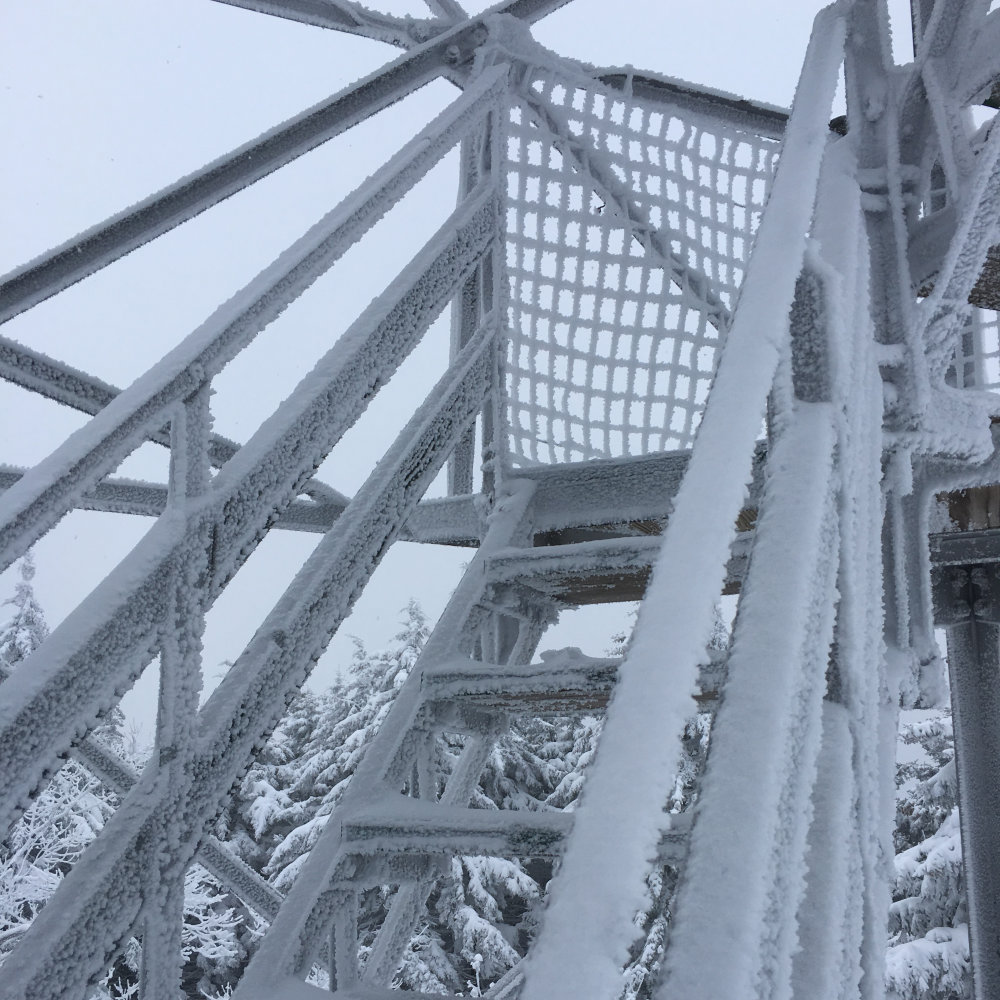
50 dF at the trailhead, 50 dF at the summit. RH ranged from about 45% to 65%. Winds were negligible in the trees, about 3 knots in the exposed areas. Dew point was about 25 for the most part. Unbridled sun to start, overcast by mid-afternoon.
Trailhead: 1230. Square Ledge: 1600. Car: 1830.
You’re doing your research, and the AMC book spends an entire six or so words on something buried in a nearly 30 word sentence. And that sentence is buried deep in a paragraph, one of about four or five describing a trail. If those words include “fairly difficult”, stop and pay attention. The contour lines didn’t really register in my mind, either. And now, I’m left with a less-than-perfectly-auspicious opener.
“So there I was.”
But let’s rewind, shall we?
As has been said by different people, I’m sick and tired of being sick and tired. This whole “social distancing” is a bit of a drag. But it’s what we have, so we make do, right? And so I went and made myself “socially scarce” as I do, by running off to the mountains. Where are all my problems? Not here!
It seems to be the new normal that I’m spending several days hemming and hawing about where to go. I’d love to be knocking down 4,000 footers, but I’m also trying to be judicious in challenging my still healing ankle. The ideal trails are more flat than vertical. (As things currently stand, I’m thinking it’ll be May when I return to Madison. Nothing like unfinished business to leave you unsettled.) Somehow, I remembered being intrigued by the trailhead sign for Oliverian Brook when I was out there the past couple weeks.
Side note: yes, the UNH and Downes Brook trail signs have also caught my eye. As has Sawyer Pond. Stay tuned. I’m realizing that just as with the Pemi, the Sandwich Wilderness is becoming my new playground.
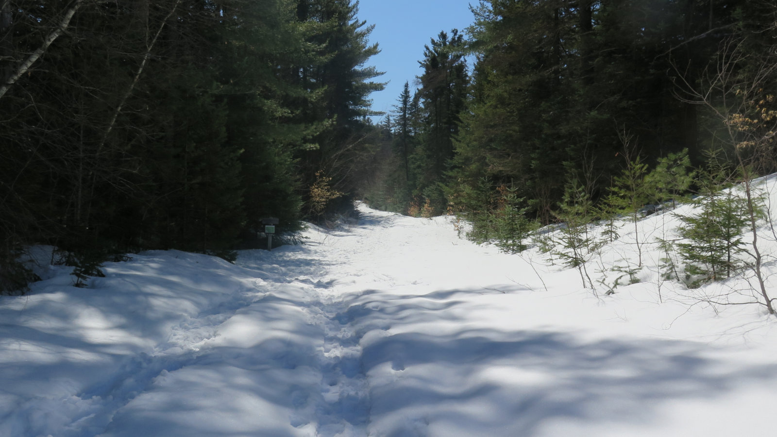
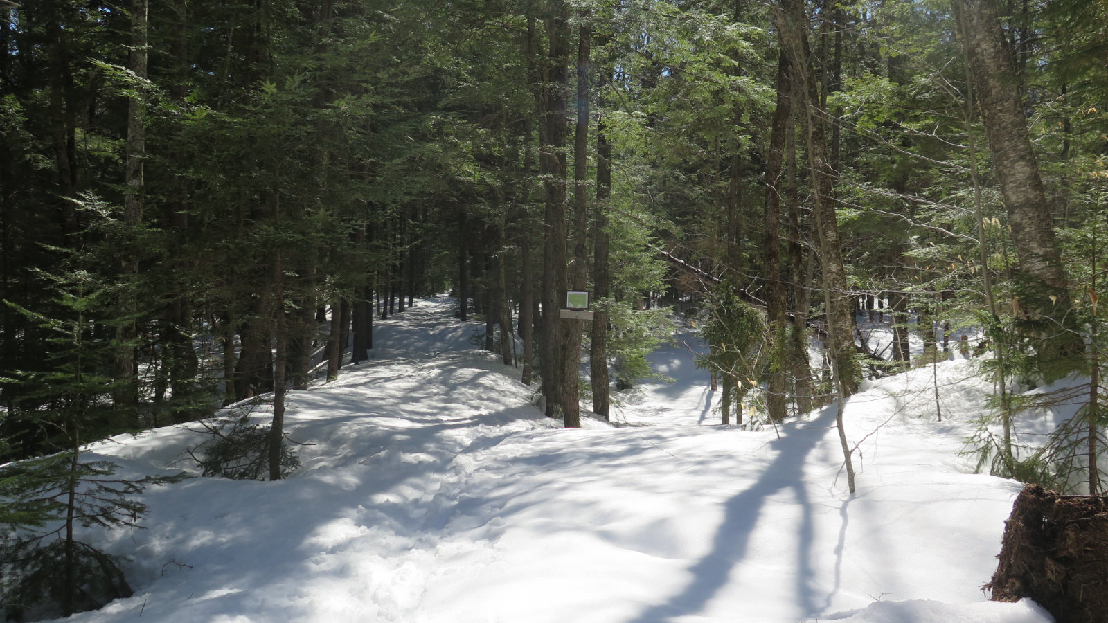
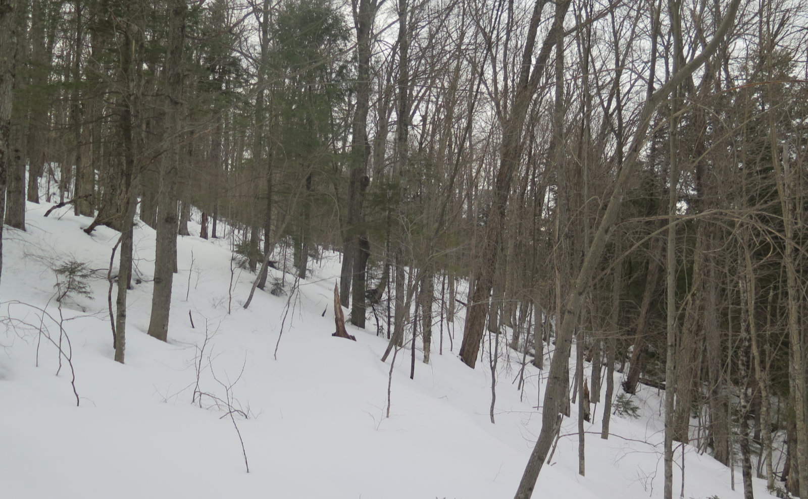
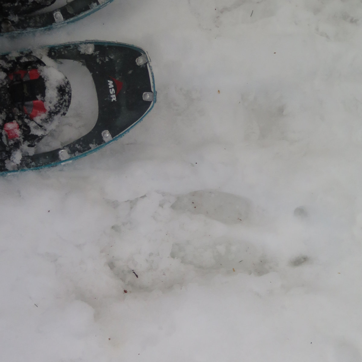
Anyway, I got to the trailhead. Nothing crazy. Right now, it’s muddy, but not insanely so. Just don’t expect your boots and pant cuffs to stay clean. Setting out, I wore my Kahtoola K-10 crampons, with my snowshoes strapped to my pack. NE Trail Conditions had reported that the trail was fine on the 22nd, and I was going on that. There had been snow the next day, but really, it wasn’t a chore to blast through it — maybe a couple/three inches or so. And it was mashed potatoes sitting on top of a gloriously sound layer of solid snow and ice. I made excellent headway.
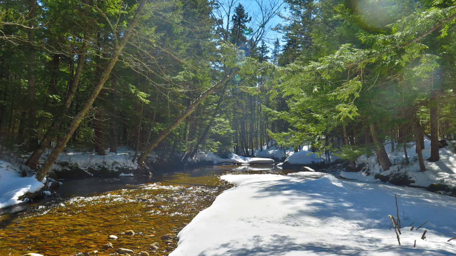
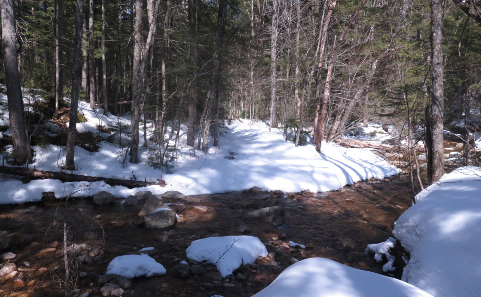
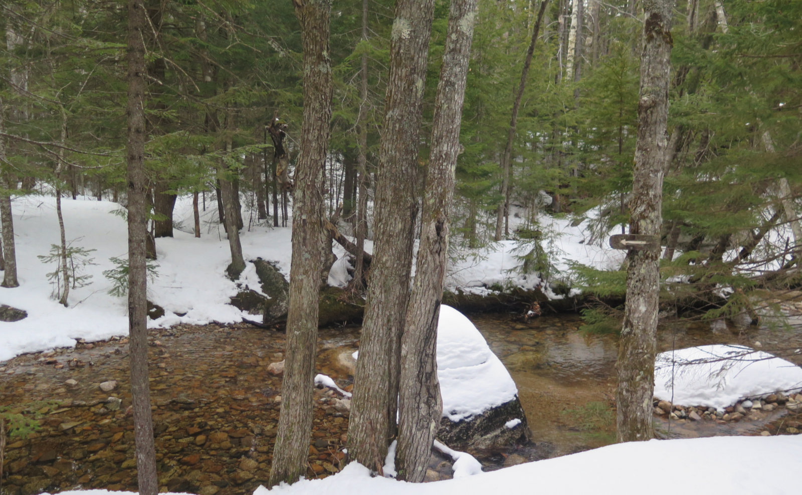
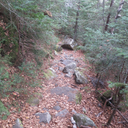
The trail itself follows the brook. For the most part, it’s softly babbling alongside, just keeping company. Nothing major. But it’s worth noting that I had to deal with 3 or 4 significant water crossings throughout the trip, and all but one was on the Oliverian Brook trail. Now, this wasn’t on par with hiking up North Twin, where the crossings can get scary, but at the same time, I was glad to have Gore-Tex boots. It was mostly flat, with some mild undulations in spots. About a mile and a half or so was shared with the tracks left by a X-C skier.
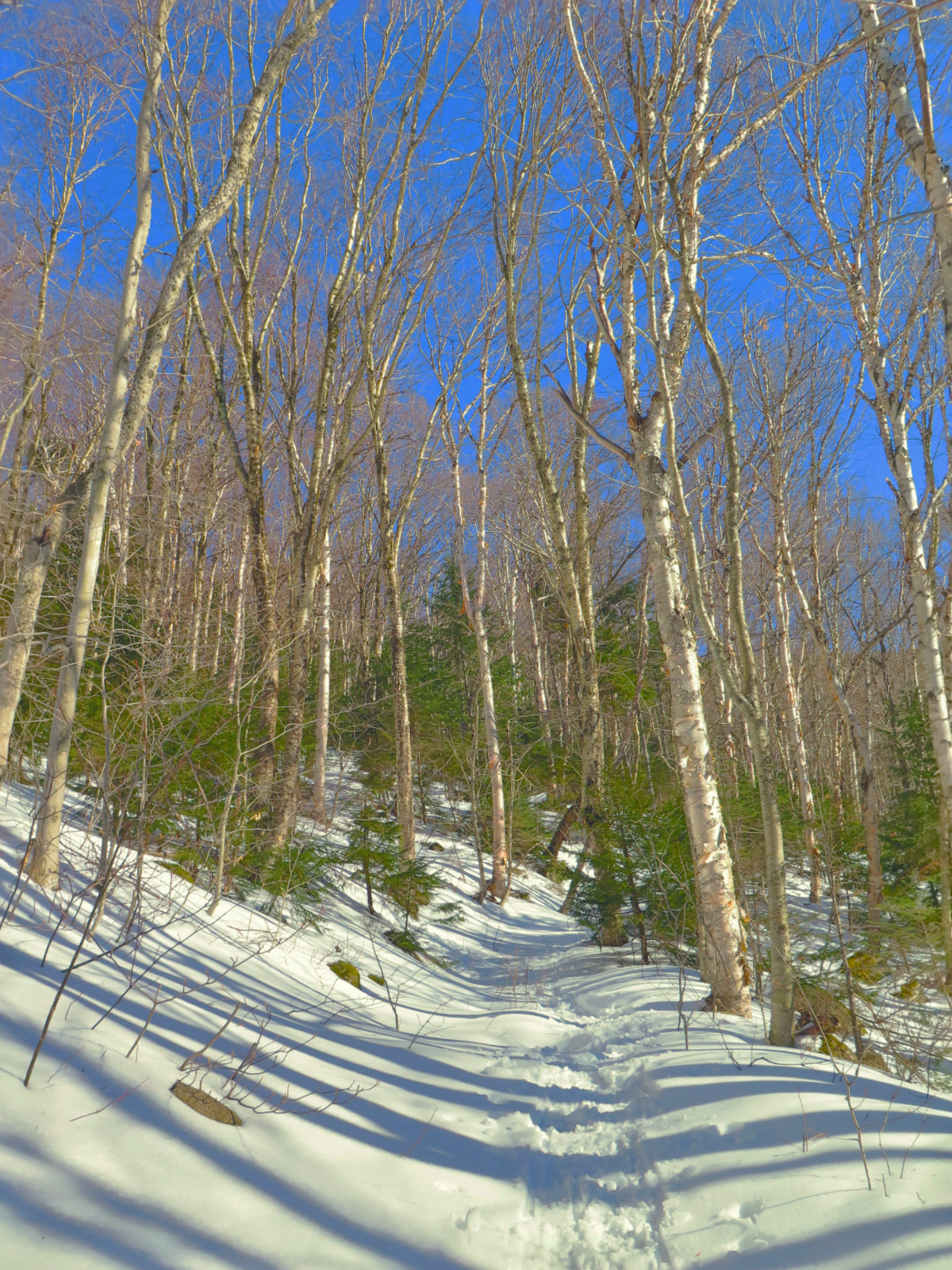
Passing the Passaconaway Cutoff, I pressed on. The day started out in superlative form. Deep blue sky overhead, mild weather… it was everything you could want. The miles stretched on, but didn’t feel strenuous at all. I reached the Square Ledge Branch trail. It kicks up a little in elevation, but really, it wasn’t so much of a change that I noticed a difference. My biggest concern was the mashed potato snow underfoot — it wasn’t much of a bother, but every so often, my footing would give a little. Just enough to make you think “I’m not moving forward as definitively as I’d prefer.” No big deal. There were a few blow-downs. A couple I just walked around. The larger ones, I managed with my folding saw in short order. Really, the trail was just so easy going.
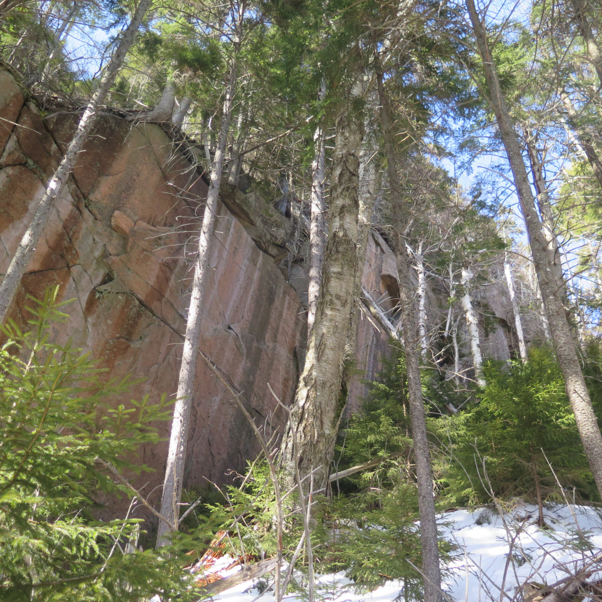
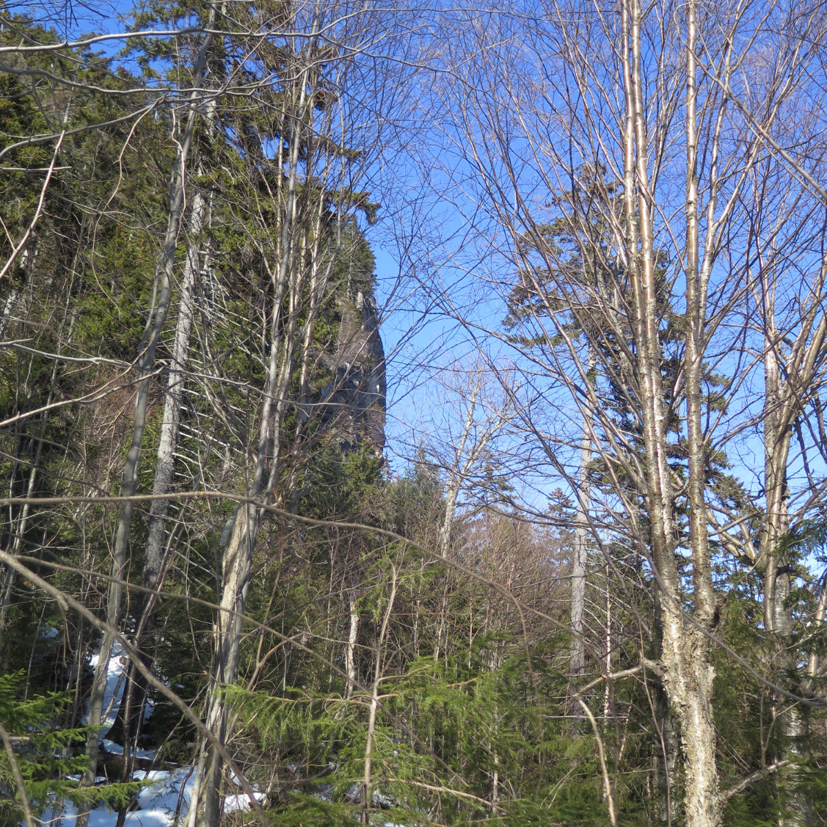
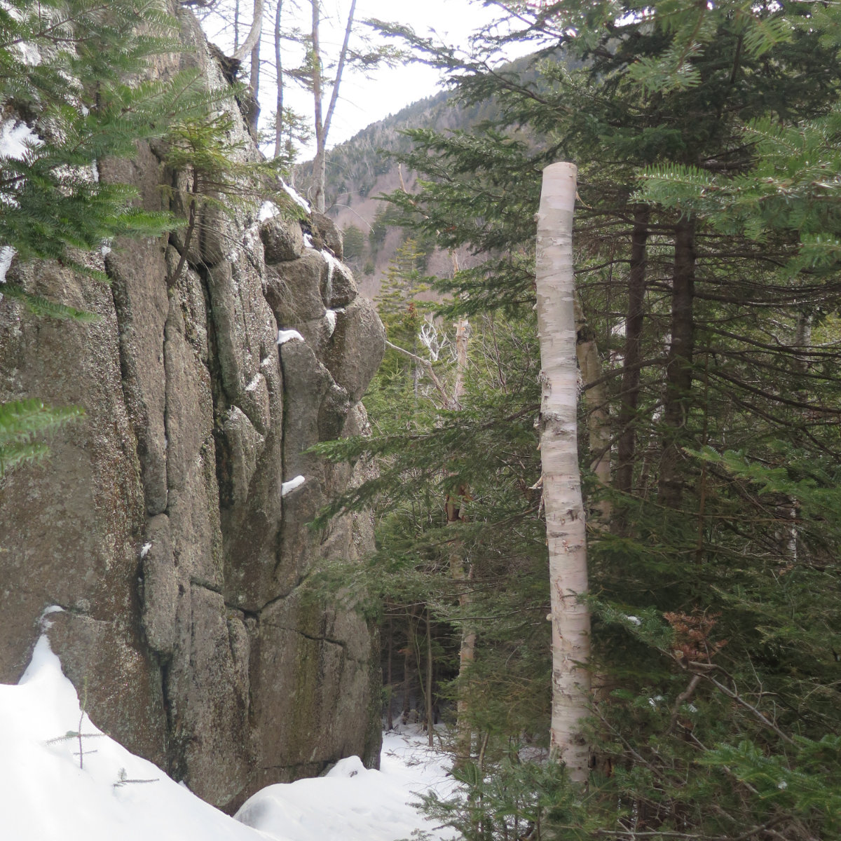
But then the elevation gain began in earnest. Go back to the opening paragraph, where I mention the “fairly difficult” bit. Through the trees, I saw a sheer cliff face. And my first reaction was “that can’t possibly be…” yet of course it was. There was quite a bit of hand-over-hand, and I was glad that I’d swapped into my snowshoes, with their very aggressive crampons. True, my “real” Grivel crampons, with their hyper-aggressive front points might have been nicer, but that’s bordering on splitting hairs. At the end of the day, though, let it be known that getting up to the outlooks requires some substantially difficult hiking. I put this one in the same basket as the Zeacliff trail, or perhaps the chimney of Blueberry Ledge trail. (And that the latter was just a few short miles away isn’t lost on me. Maybe it’s something in the water.)
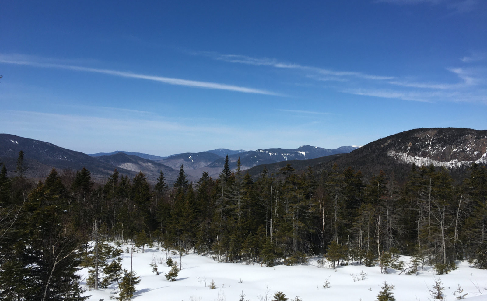
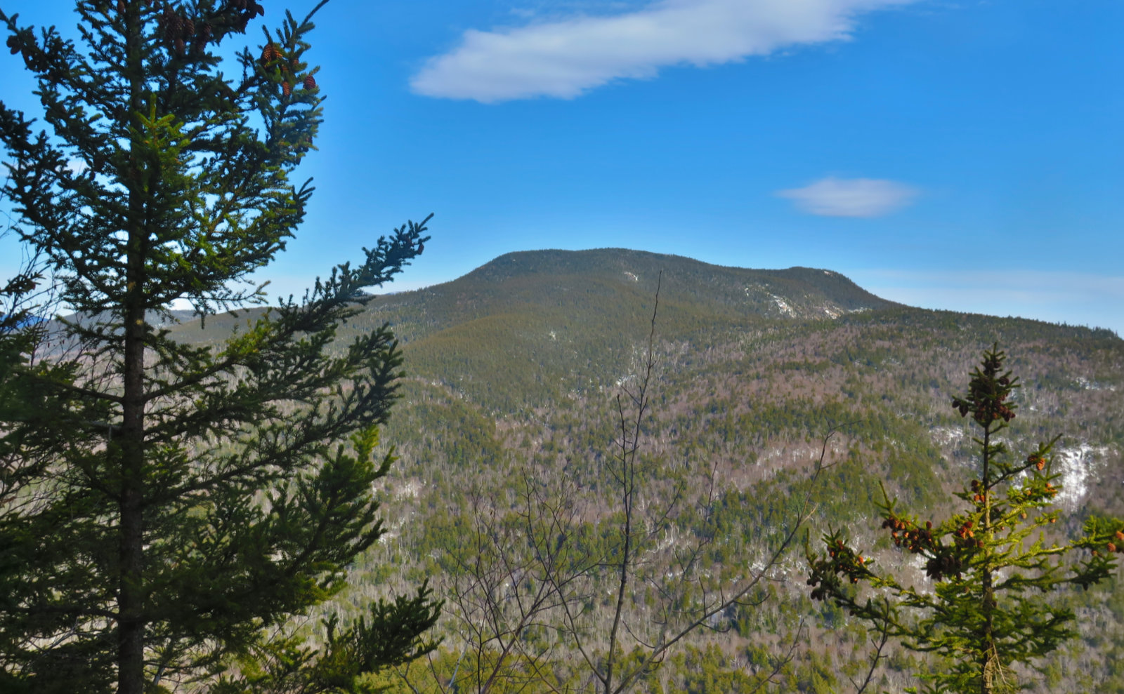
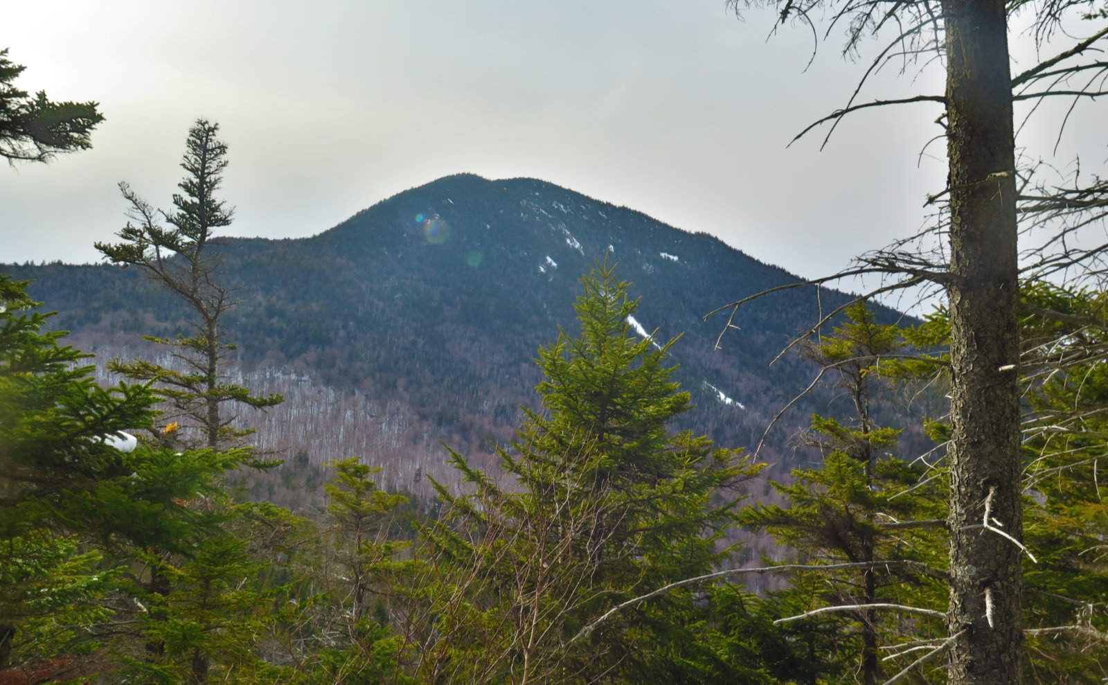
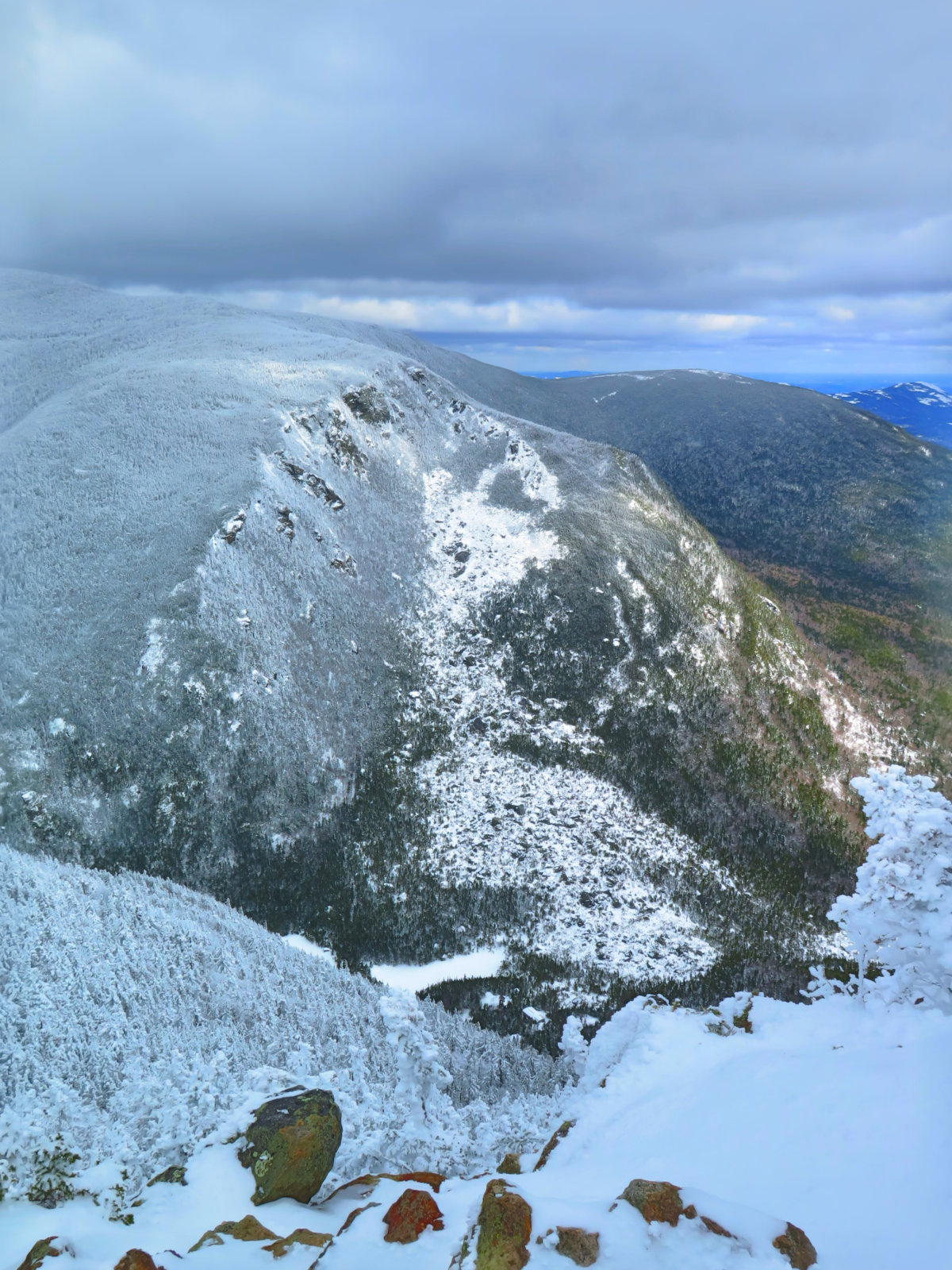
On top, there was a small spot where the trees were thin enough that I got a fine, unobstructed view of Mt Paugus. On the other side, there weren’t a whole lot of trees in the way of a view of Passaconaway. That guy was just sitting there, hulking. Wow, it felt huge in a very visceral way. There was no avoiding it.
Coming back down was more sedate. Taking the loop clockwise meant I nailed down most of the water crossings, as well as the steep bit of hiking, in the front half of the hike. The downhill was “spirited” for the first half. As I should have expected, the mashed potato snow was lousy for downhill traction. And yeah, at least a couple times, my snowshoes skied out from under me. But overall, it didn’t feel as hard going down as that steep bit felt going up. Not by a long shot.
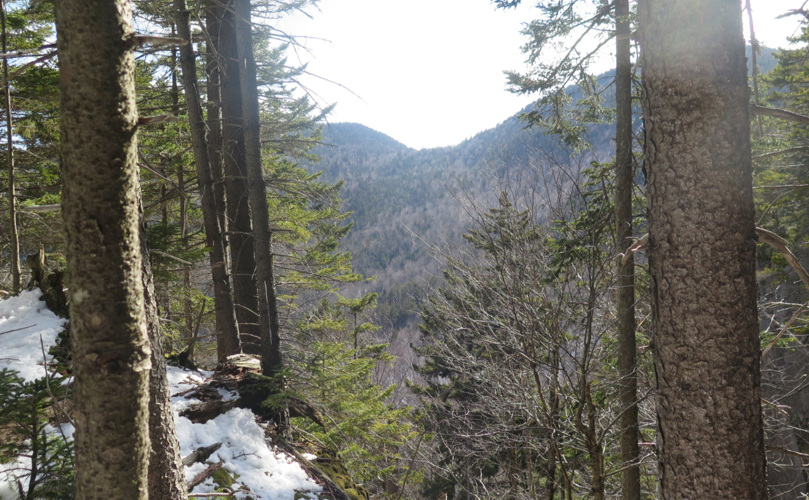
It wasn’t a perfect outing in the sense of appeasing my ankle. There were a few times when I felt things tighten up in ways that made my mind race uncomfortably. I’ll know better in the morning, but as of now, things seem nominal. What made the day was just being outside in lovely weather, on a fine trail, with nothing to do but enjoy being outside. The vistas weren’t all encompassing like they’d have been on nearby Carrigain, but they were certainly good enough. There’s enough going on in that neighborhood that I’ll be back for more. I can’t wait.
Folks, just as a reminder, take care of yourselves. I hope my posts are giving you something else to think about other than all the bad news out there. If that’s so, it’s all I could hope for. I know people in MA have stay-at-home orders to contend with, and it’s beyond me at the moment to know what the realities of that entail. But we’re going to get through this together.
As always, stay safe out there.
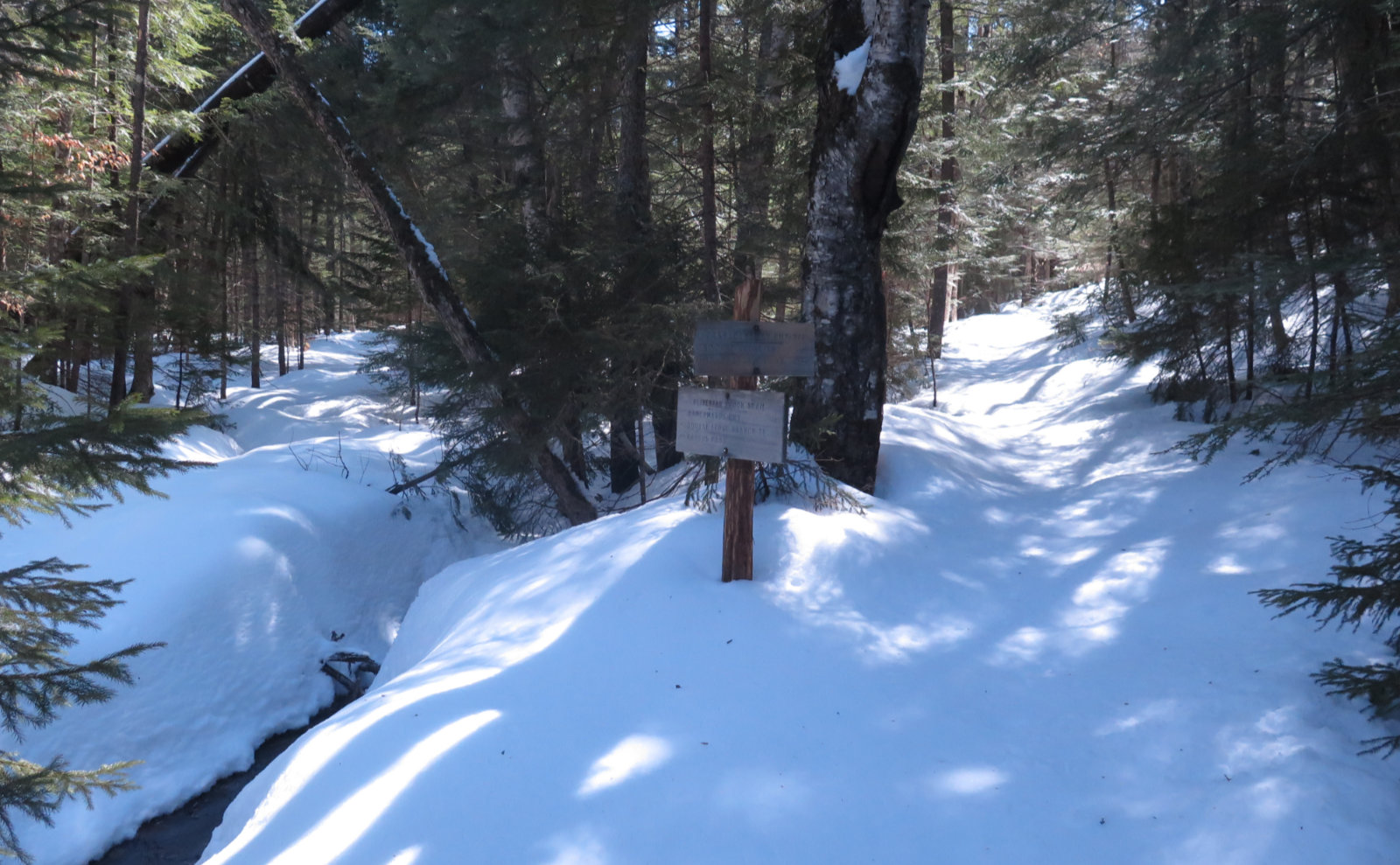


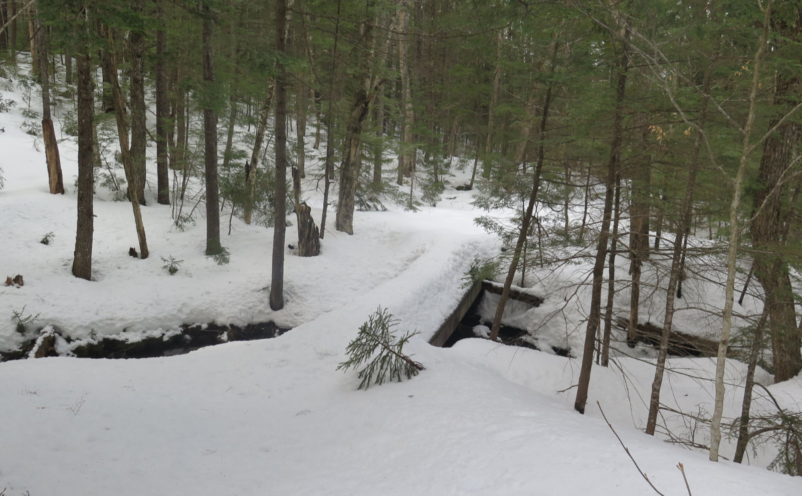
Nuts and Bolts: This one’s pretty easy. Take Exit 32 off 93, and drive east on the Kancamagus Highway. Oliverian Brook trailhead has one of the bigger signs. You’ll pass Sabaday Falls trailhead, then Downes Brook. Just after that, look out for Oliverian Brook — it’s about 2 miles or so further, on the right. If you get to Bear Notch Road, you’ve gone way past it. Parking right now can accommodate about half a dozen or so cars very comfortably, and maybe twice that if people scrunch a little.
Trailhead will be on the south side. You’ll walk about a tenth of a mile before getting to the signboard. Blazes are non-existent. I didn’t see a single one all day. But the trail itself is almost entirely intuitive. And now, you have my footprints to follow, too. Trail junctions are all signed, and the WODC has put small arrows where the trail makes a hard turn. Just watch out for them. Water crossings as I write this are pretty simple, but you’ll want waterproof boots of some kind or other. It’s very strenuous on the last pitch before standing on the ledge. But on either side of that pitch, it’s a straightforward trail, not much different from what you’d find on Cabot or Waumbek.
If you enjoy reading these posts, please subscribe — stay in the loop! Your email will only be used to alert you of new posts — typically 1-2 times per week. I will not use or share your email for any other purpose without your express permission. And feel free to share via social media using the buttons below.
Find me in the mountains, on this blog, or on Twitter: @Protean_Hiker
4 thoughts on “Trip Report: Square Ledge”
Thank you for sharing a great day in the whites. Stay healthy!
Oh, yeah — these postings cheer me up and make me believe this will someday be over. On the other hand, it makes me less likely (as an “at risk” older person) to want to die for the economy or grandkids…
Take care of the ankle on the trail, and in your day job, keeping people healthy!