
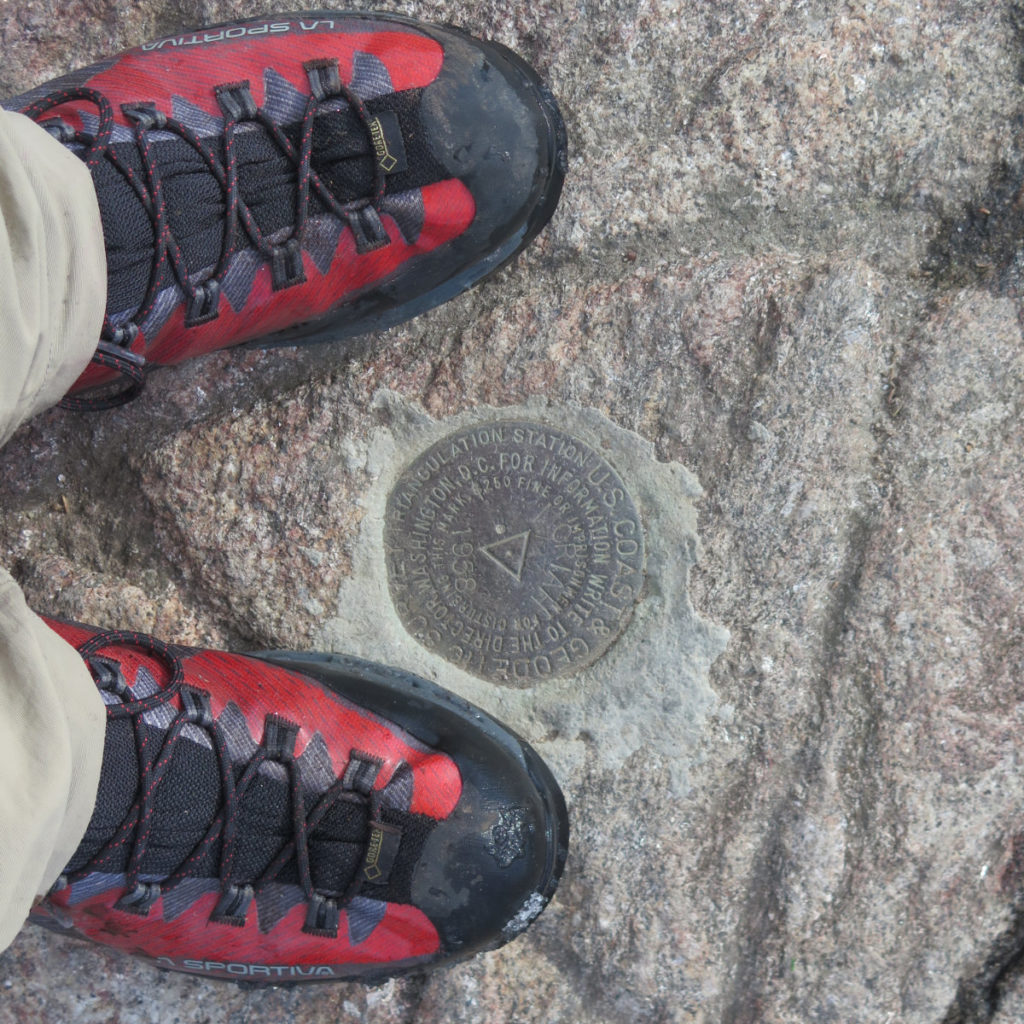
Mt Moriah (4,049 feet). Gorham, NH. 2020-11-05 (Thursday.)
Via Stony Brook, and Carter-Moriah Trails, and the summit spur. 10 miles round-trip, approx 3,100 feet elevation gain.
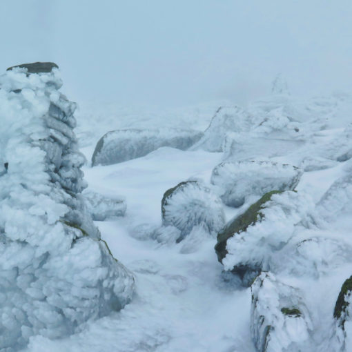
45 dF at the trailhead, 60 dF at the summit. Winds were negligible in the trees, about 10-15 knots at the summit. Sun, with a few clouds throughout.
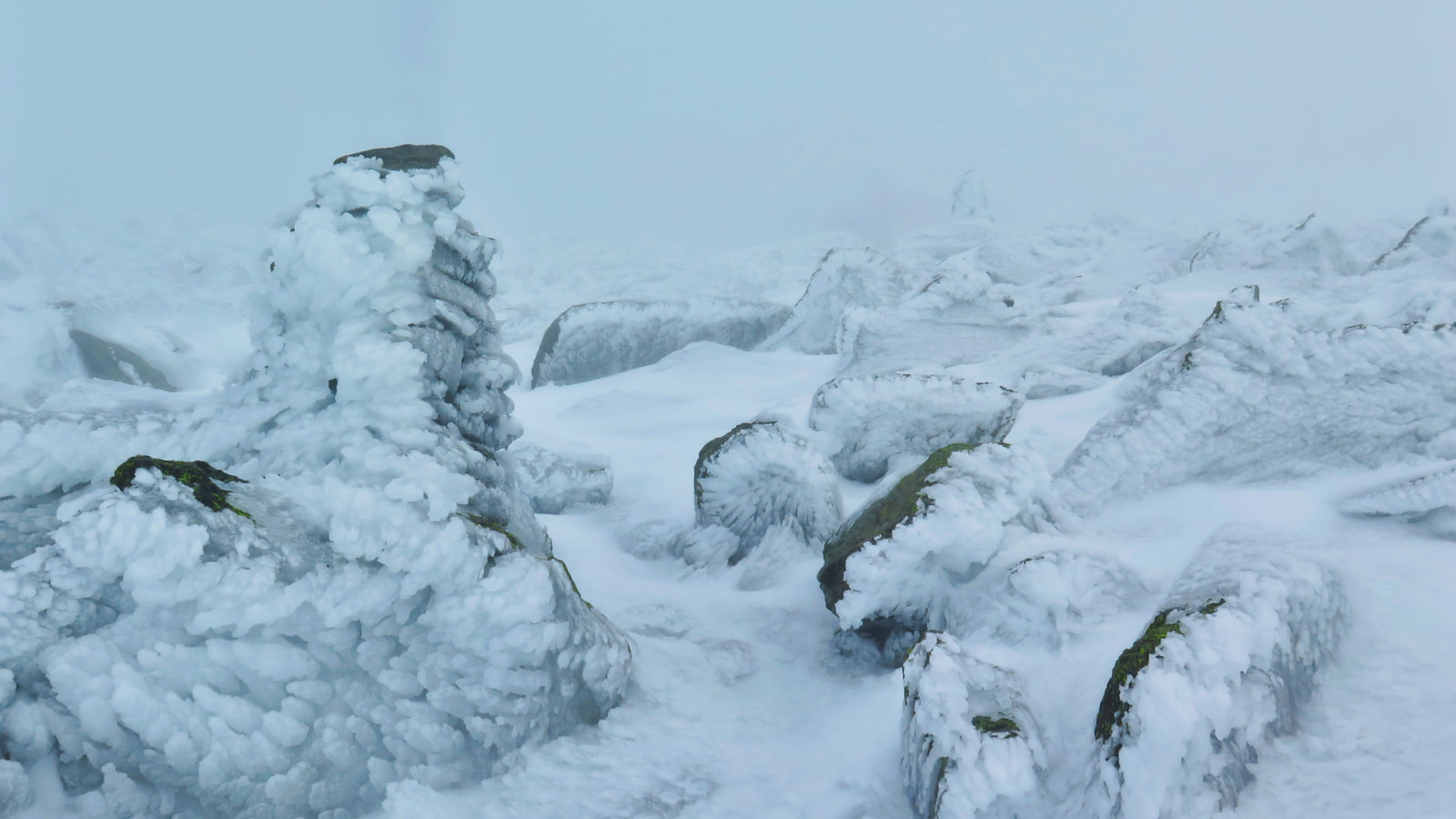
(Note: MW-Obs called for winds of 45-65 MPH with gusts up to 80 MPH on the higher summits, with temps in the 40s. What a difference a couple thousand feet makes. But don’t think this kind of luck will happen every day.)
Trailhead: 1015. Summit: 1330. Car: 1630. Approx 6.25 hours.
Slip and Slide Uphill in the Sun.
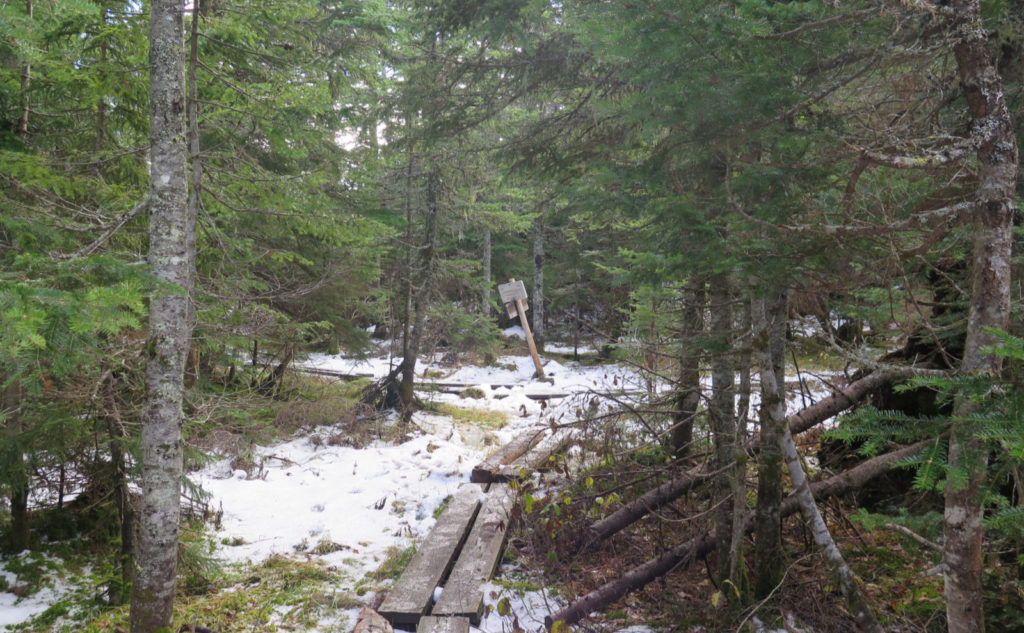
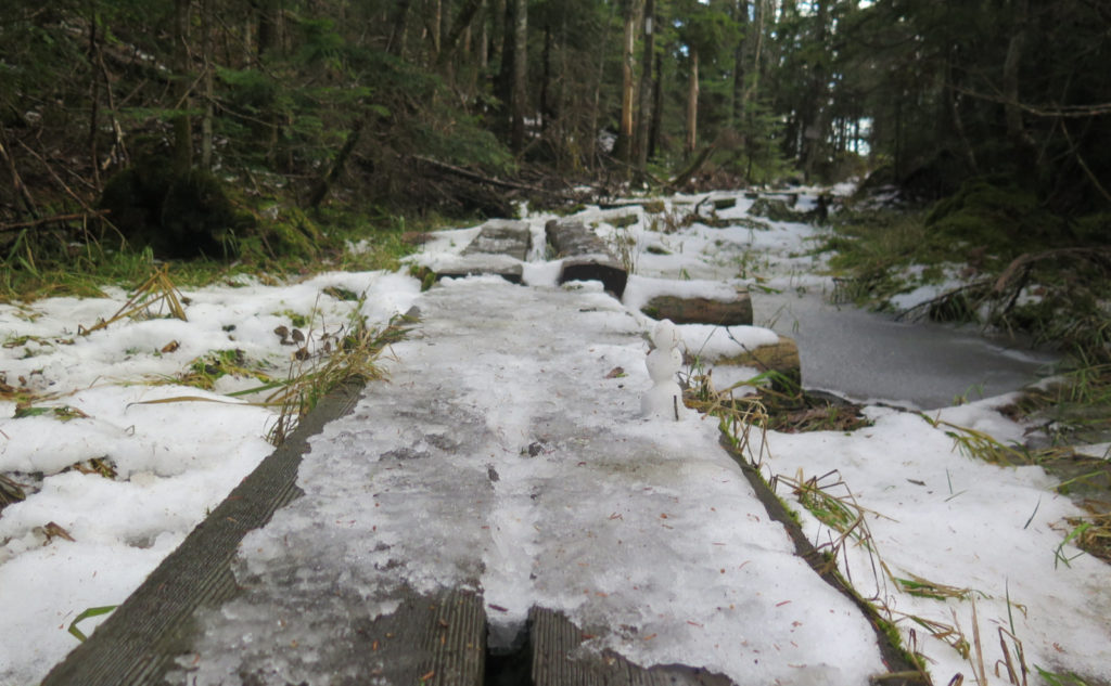
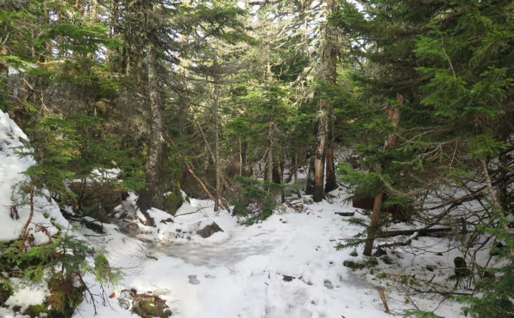
I’m glad the lede only says “uphill”, and not down. I did don spikes for the descent, but the warmth of the day did indeed carry the day, in terms of melting the mess that was spread across the lower half of the mountain when I ascended. It was a bit greasy on the way up, courtesy of the dying dregs of dross left behind by the most recent snowstorms. On the ridge, however, there was enough durable snow and ice that I expect a few dribs and drabs will persist through the weekend. Taking the snow and ice on the descent would have been just slippy enough to be treacherous, or at least past my comfort level.
But if clear skies doth hold sway for the next few days (and the prognosticators are saying they will) then the weekend warriors will have especially clean and clear conditions. And the forecast suggests it’ll be in the 60s. Wow!
All that said, I did manage to bare-boot it all the way to the summit. In more than a few spots, it took a little noodling, but I did it. Given the warm weather, it didn’t feel like a terrible amount of work.
And so, my thoughts on the trail?
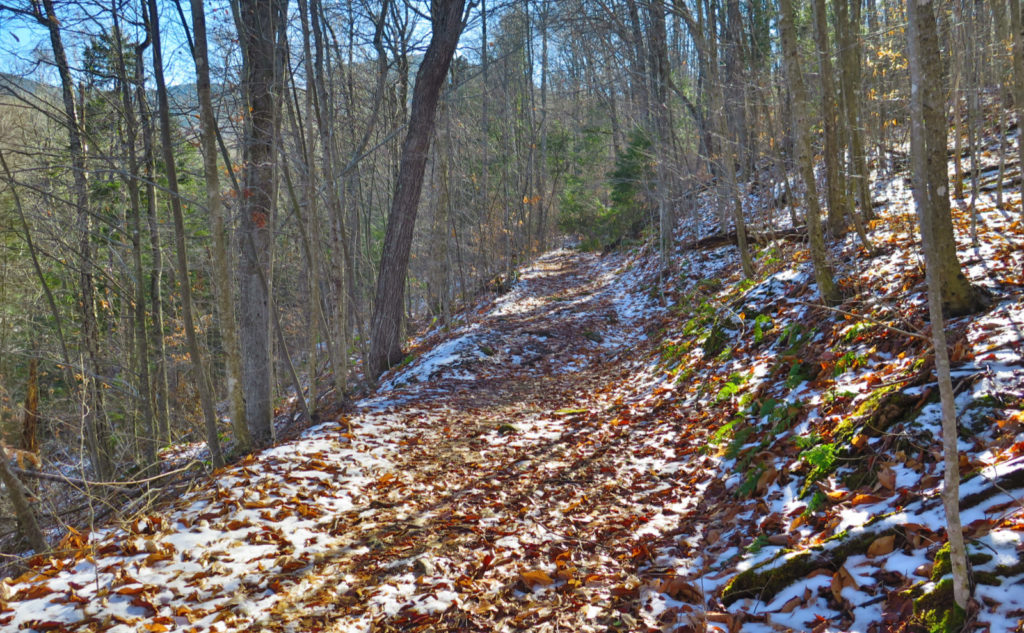
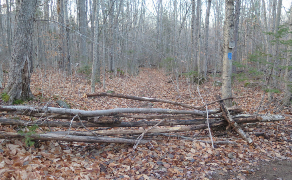
I think I have a new favorite. Going up this way, rather than from the Carter-Moriah trailhead to the north, was much nicer. Specifically, it was utterly devoid of the pointless ups and downs of that trail, especially after Mt Surprise. Besides that, much of it wasn’t particularly rough. Quite a bit, in fact, ran up an old truck road. More on that below. A lot of the trail was leaf litter and duff, becoming more rocky toward the ridge. On the ridge, there were several ledgy sections, with views. And in-between them, lots of trees.
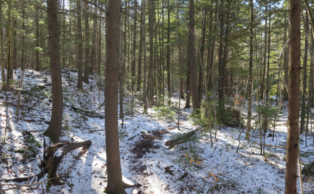
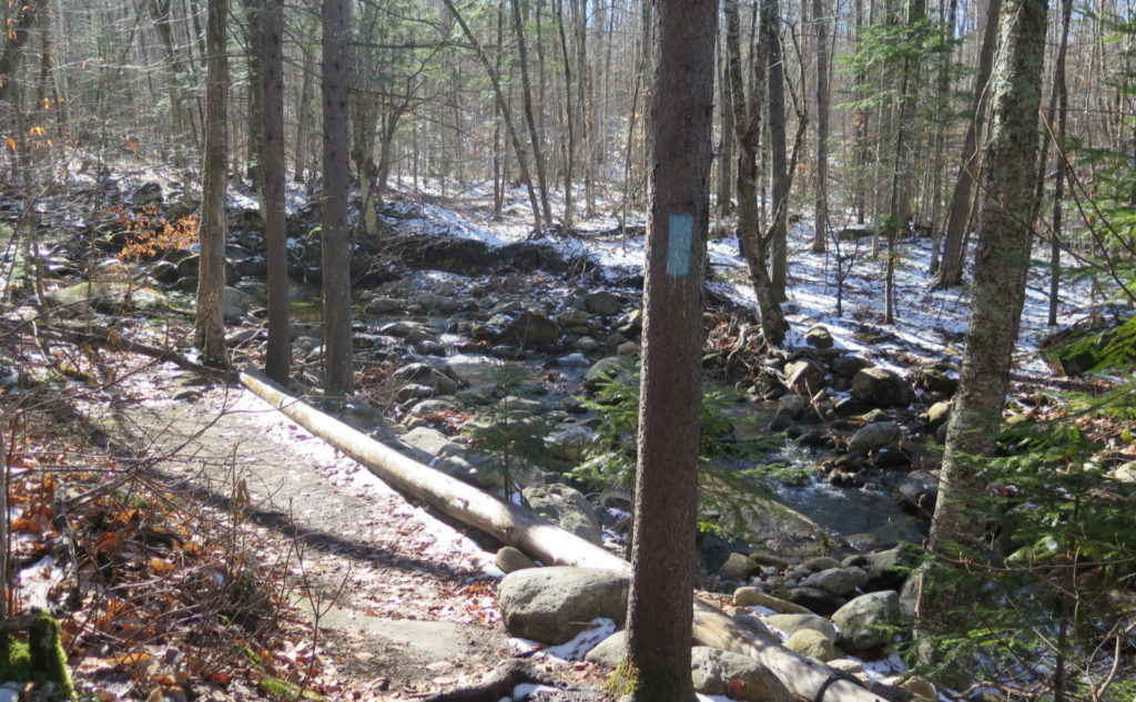
It was a later start than I’d have wanted, and bare-booting slowed me down a fair bit. I got the sense that in dry conditions, or with spikes from the get-go, I’d have flown up the trail. From my first looks at the map, and from the name “Stony Brook”, I expected a wet slog up a stream bed. But most of the trail has a certain amount in common with 19 Mile Brook trail, in that the brook runs near the trail, but otherwise is mainly dry. Two crossings were on bridges, and the third significant one had enough huge stepping stones that it wasn’t an issue.
That’s not saying the trail was perfectly drained. The ridge has quite a bit of bog bridge, from the col on up. And lower down, there were plenty of muddy areas. In this sense, the trail wasn’t much different from anywhere else. But it wasn’t problematic in the slightest. If anything, it was less problematic than many other trails.
I spy, with my little eye…
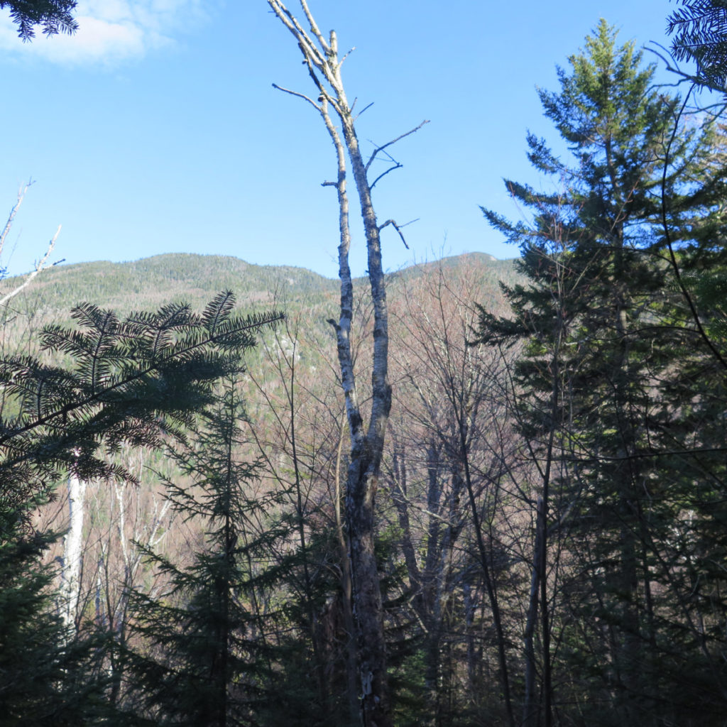
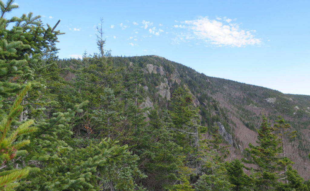
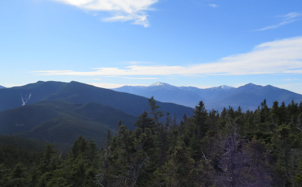
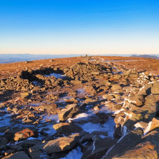
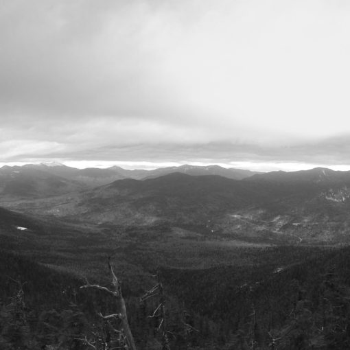
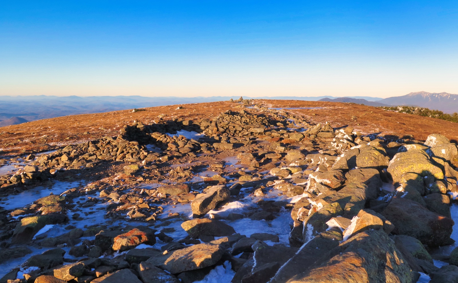
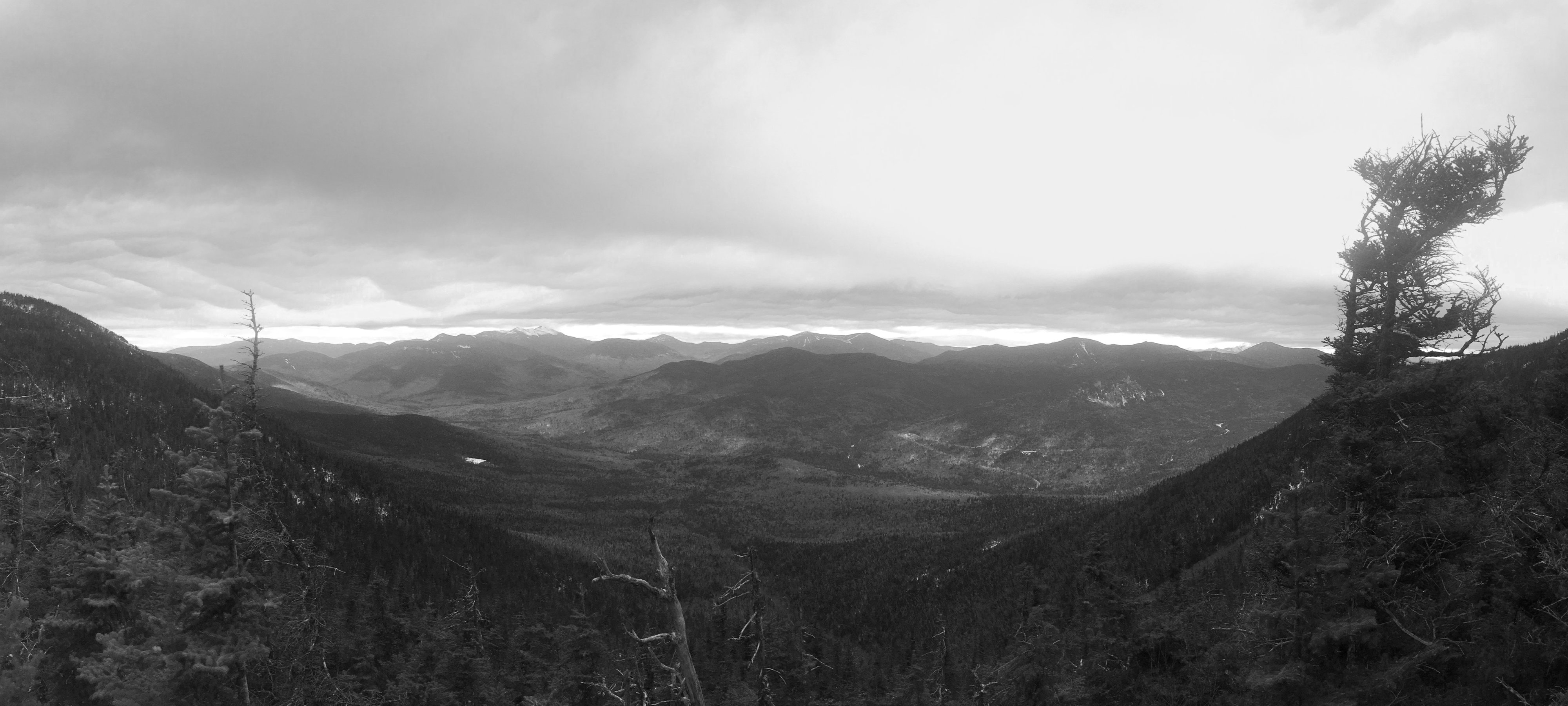
Moriah is, in total, a lovely mountain. Importantly, if it weren’t for Wildcat D, Imp Face, and Moriah, there wouldn’t be much for views on the two ranges but for the odd viewpoints here and there. I’ll happily grant that this isn’t terribly unique in the Whites, but you’d think there should be a bit more than that up there, especially as Moriah is the lowest of the 4,000 footers in the area. But whatever, Moriah does deliver the goods, and quite well. Not just from the summit itself (which has a fantastic panorama) but there were ledges that had sweeping views, mainly into Maine.
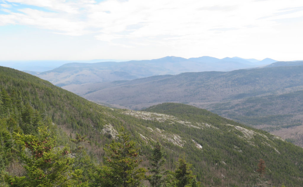
At various fine outlooks, and from the summit, I spied, with my little eye, things like the Wild River Valley, the Baldfaces, Kearsarge North, and Old Speck. Today, views of the northern Presidentials were almost unparalleled — not a single lenticular cloud to be seen on the old rock pile. To the north, Cabot, Waumbek, and the rest of the Kilkenny Ridge mountains. And I’d have seen more to the south, except a fine view of Carter Dome got in the way. I think the nearest clouds were at about 10,000 feet. Nice what you can see when conditions are like that. (It’s notable that the Carters and the Pressies get in the way of seeing pretty much anything other than them to the west and the south.)
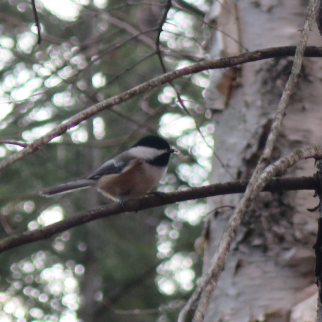
All day, I probably saw about a dozen people, and 3-4 happy pups. On the one hand, I hike solo almost all the time. But on the other hand, it’s really nice meeting new people on the trail, sharing thoughts, learning a little about them. There was a group of guys from Worcester (“the haht of the Commonwealth!”) recently graduated from college. A couple from the Concord area, with a companion from Maine. Another couple from Maine. It was nice.
Giving the trail the boot. I mean… giving the boot the trail. (And the crampon.)
The hike up the spur trail, plus some of the ledges on the ridge, convinced me that bare-booting on the way down probably wouldn’t be a smart idea. And so I donned my Hillsound crampons, and made tracks. No small amount of thought went to the dark space that was my ill-fated hike down Valley Way last winter, when I broke my ankle. I’m pretty sure I was wearing my other crampons, but either way, every time my footing wavered (and let’s face it, unsure footing is a thing on any hike) I had flashbacks. But that said, I made it down in one piece.
Near the bottom, there was a sharp right turn, where the trail diverged from the truck road. And yet, there was the rest of the truck road, heading downward, just behind an arrow sign pointing toward the trail. I had to explore. But as it turned out, there wasn’t much to see. At the start of the hike, if instead of crossing the bridge, you went up the paved road to the right, you’d pass a few houses before the road turned to dirt, and then on the other side of a cul-de-sac, you’d see the bottom end of that truck road. But at least I got to do some exploring. Which was nice.
Stony Brook trail is a nice way up the mountain. For quite a bit of the bottom, I had the roar of the brook to keep me company. Up high, I had periodic views of the surrounding countryside. And at the top, a fine summit with a 360 degree panorama. And no pointless ups and downs. Smith and Dickerman’s book suggests the water crossings could be problematic in winter at high water, but I certainly saw none of that today. And so, I’m wondering why I didn’t find this one sooner. Yeah, I’m kicking myself about that, but I won’t make that mistake again, at least not on this mountain.
As always, stay safe out there.

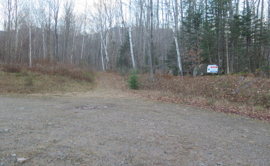
Nuts and Bolts: Take 16 south out of Gorham. About a mile and a half down is a bridge over the Peabody River — at the current moment, there’s construction on the bridge and a temporary traffic light. (The bridge is narrowed to one lane, necessitating the traffic light. Drive carefully!) Immediately beyond the bridge is Carter Mountain Road on the left. Turn here, and you’ll see the trailhead on the left. You should be able to see the kiosk and sign from Route 16 — the trailhead is about as easy to spot as Appalachia is from Route 2. (The sign is about the same size, too.) Unlike the trailhead on Bangor Road, there’s actually a small parking area.
Blazes are blue for Stony Brook, and white up on the ridge — you’ll be on the AT with its customary markings.
If you enjoy reading these posts, please subscribe — stay in the loop! Your email will only be used to alert you of new posts — typically 1-2 times per week. I will not use or share your email for any other purpose without your express permission. And feel free to share via social media using the buttons below.
5 thoughts on “Trip Report: A Warm Autumn Afternoon on Mt Moriah”
One of my favorite trails. That road has been the winter route to avoid the Brook crossings for years. If the land sells and folks build that will likely change.
“If the land sells and folks build that will likely change.”
One can hope: there’s that private land by Whiteface/Passaconaway where the landowners have explicitly welcomed hikers to cross their property. Obviously no guarantees, so enjoy it while it lasts.
Glad you enjoyed reading my report!
I have crossed the W/P property many times and have appreciated it every time. I have never seen anybody “at home” when completing the loop. I always consider whether or not I would want that volume of folks stumbling by at all hours in my yard. Extremely generous of them.
I just hiked that same route two weeks ago. I also found it to be a pleasant day’s outing. I am sure it just slipped your mind for a moment but addition to wildcat d, imp face, and Moriah, along that range there are also wonderful views if you find yourself atop Mt. Hight. Thank you as well for the nice photos.
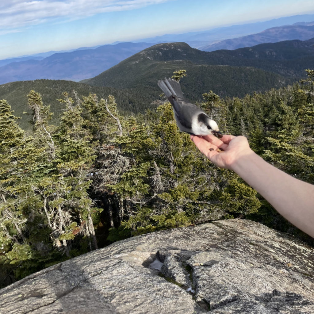
Excellent review of the trail and fantastic pictures. I love the Gray Jays. My daughter who really doesn’t hike often did hike Mount Waumbek with me and fed them at the summit of Mt Starr King a few years ago and got a kick out of feeding them. I have hiked with the AMC and they don’t like you feeding them.I have no issue feeding them.You mentioned you used Hillsound crampons. Which type did you use? I previously had Kahtolla Microspikes but when they broke I purchased Hillsound Trail Crampon Ultra and just got Hillsound Trail Crampon Pro for more icy steep slopes. I have not used these yet.
I have been hiking predominately solo with my friendly Golden Retriever Piper. Recently I started a Meet Up Group “Hiking with Dogs” and tomorrow we are hiking Mount Eisenhower.
I love hiking with others and if you would like some company on one of your hikes Piper and I would love to accompany you. You can email me.
By the way I know the land owner of the property at Ferncroft where the trails begin and she is a lovely woman.