Via the White Dot Trail. Approx 2 hours, there and back again. 2 miles from the State Park Headquarters to the summit. 3,165 feet.
I’d been a bit overcome by long hours at work, going on many weeks now, and consequently feeling tired and about as motivated as a damp sponge. So rather than deal with weather, long-ish mileage, weather, and a very long drive, I looked around for something easy. A palate cleanser. I had been scouting about for something on the 52 with a view list, but nothing really spoke to me. And so, rather than allow this week’s hike to succumb to ennui or worse, I fell back on my old standby: the mountain that has always been there for me, even with its notable lack of stature. The one with a great view, and that always delivers. Kinda like mac and cheese — nothing special, but you’ll never say no to a heaping helping, and it always puts a smile on your face.
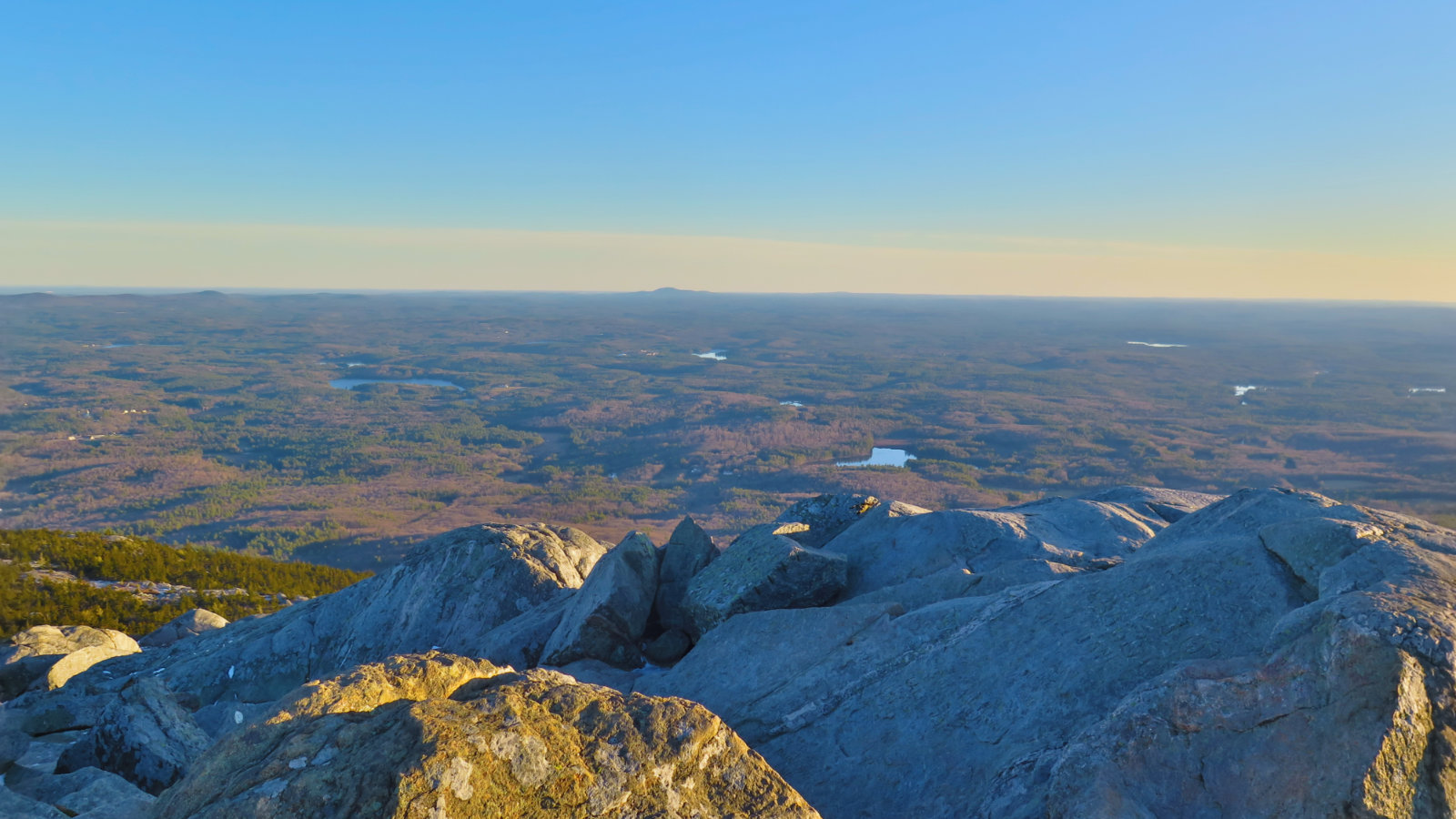
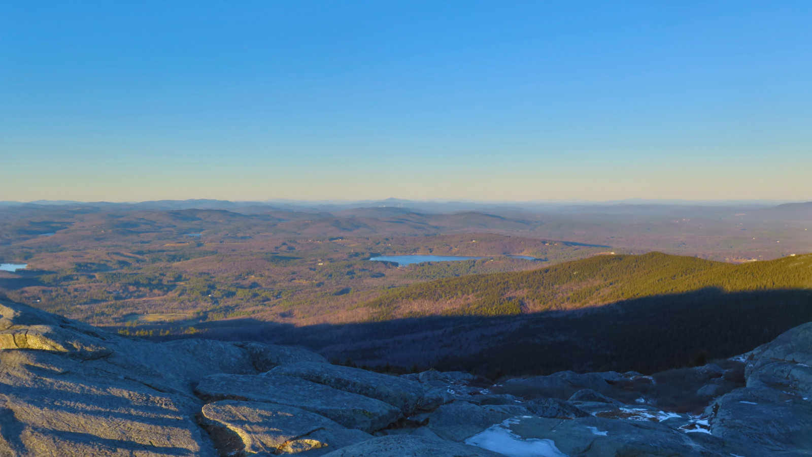
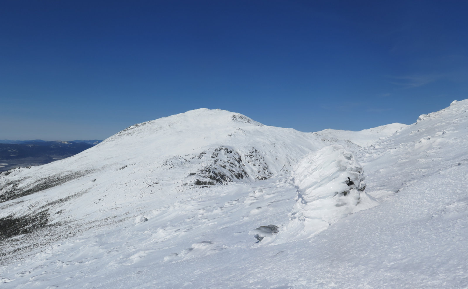
And so it was that I stood on top, gazing over the familiar terrain below. It was a bluebird day today, and even though the air wasn’t its absolute crispest (and coldest), I still enjoyed a three state view. I gazed up north. Washington was there, easily identified, even if the details weren’t perfectly seen. Over to the west, the long mountain ranges of Vermont. I couldn’t identify anything specifically in Maine, but at the same time, I saw Washington, so it was basically impossible to say that the hills I spied to the northeast didn’t belong to the Pine Tree State. And yes, I saw Watatic and Wachusett in Massachusetts, but really, it’s a very cloudy day if you can’t see those peaks from Monadnock. Likewise, Pack Monadnock, and the Wapack Range stretched out over the near distance.
The light, being as I hit the trailhead at 1430, was a golden honey color, draped all across the landscape just so. It was windy, and my ears were feeling the lash from Jack Frost himself, so I didn’t want to stay long. But even still, the effect was magical, if only short lived.
There was ice in the higher elevations, but right now, it’s all fairly easily dodged. To those intrepid souls who were heading up late in the day, I suggested to keep the Microspikes handy, because dodging that ice in the dark… yeah, I’d rather plow through it on secure footing than dance around on uneven rocks. At least until the snows arrive in earnest, one could probably bare-boot it from bottom to top fairly reliably, but those days are short in number. Above all, remember the old Boy Scout motto: be prepared. Monadnock may be a local mountain for many (even those in Boston and environs) but she can still pack a punch. And Microspikes aren’t all that much of a burden in your pack.
And now, the views… oh wow, the views…
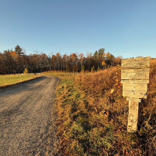
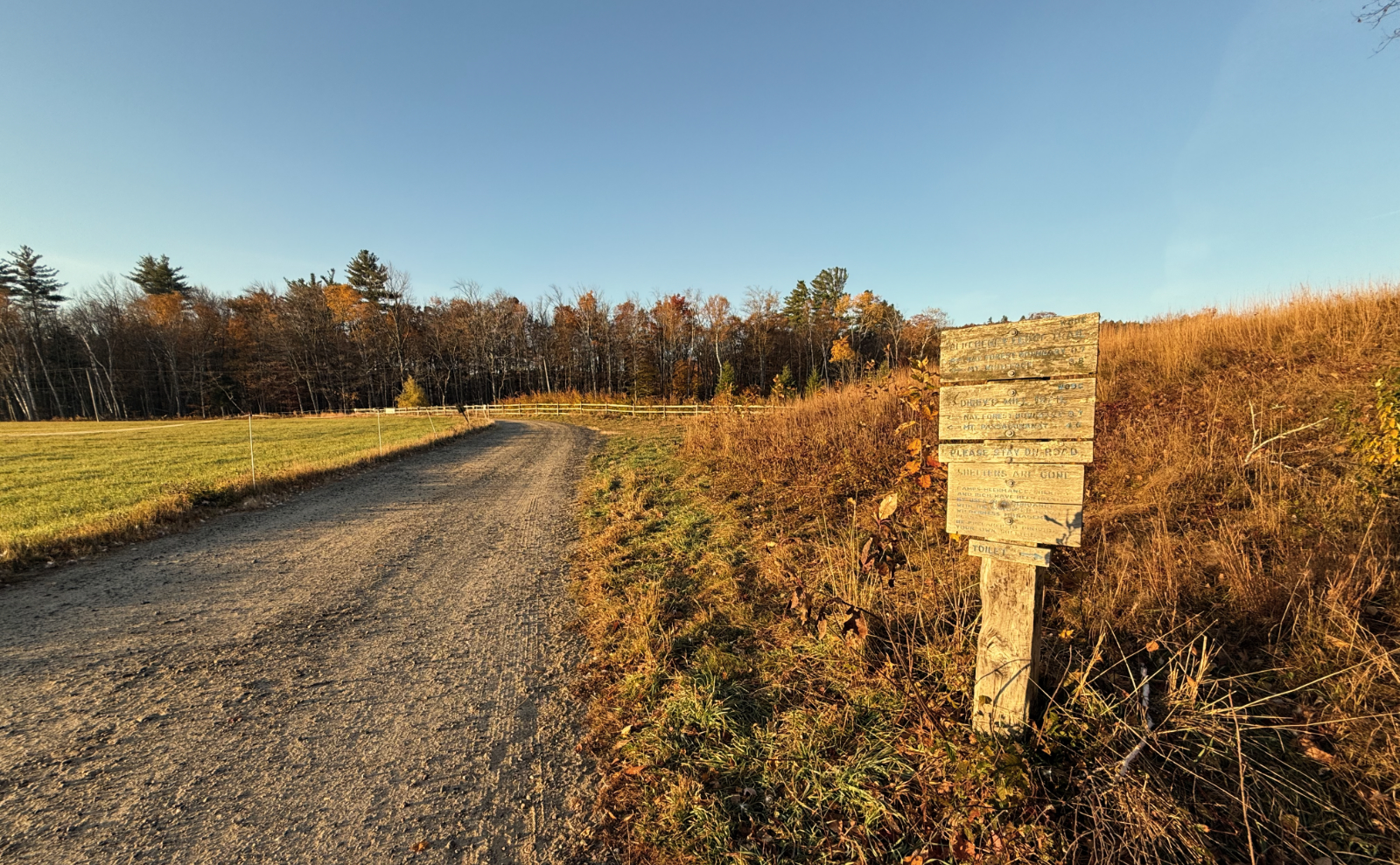
Nuts and Bolts: Getting to Monadnock, from points south: You’re probably well served by making your best way to Nashua, NH (from Boston, take 93N to 128S, and then 3N in Burlington) and taking exit 7W, for route 101 west. Go about 20-25 minutes west, through Milford, and turn left at Market Basket, to follow 101 as it goes through Wilton and Temple. Continue into Peterboro, and then hop onto 202 to Jaffrey. In Jaffrey, turn right onto Main St, following the signs for Monadnock State Park. You’re looking for 116 Poole Road, in Jaffrey, but there are signs pointing the way as you get close. Main st becomes Mountain Road, and then you’ll take a right onto Dublin, and then a left onto Poole Road. That left is marked by a large brown wooden sign with yellow letters.
On your way, take note: you’ll have no shortage of places to satisfy your appetite on the way home. Be a good visitor and support local businesses!
From Concord, NH, hop on 202 heading south/west, and once in Jaffrey, follow the directions from Main St, above.
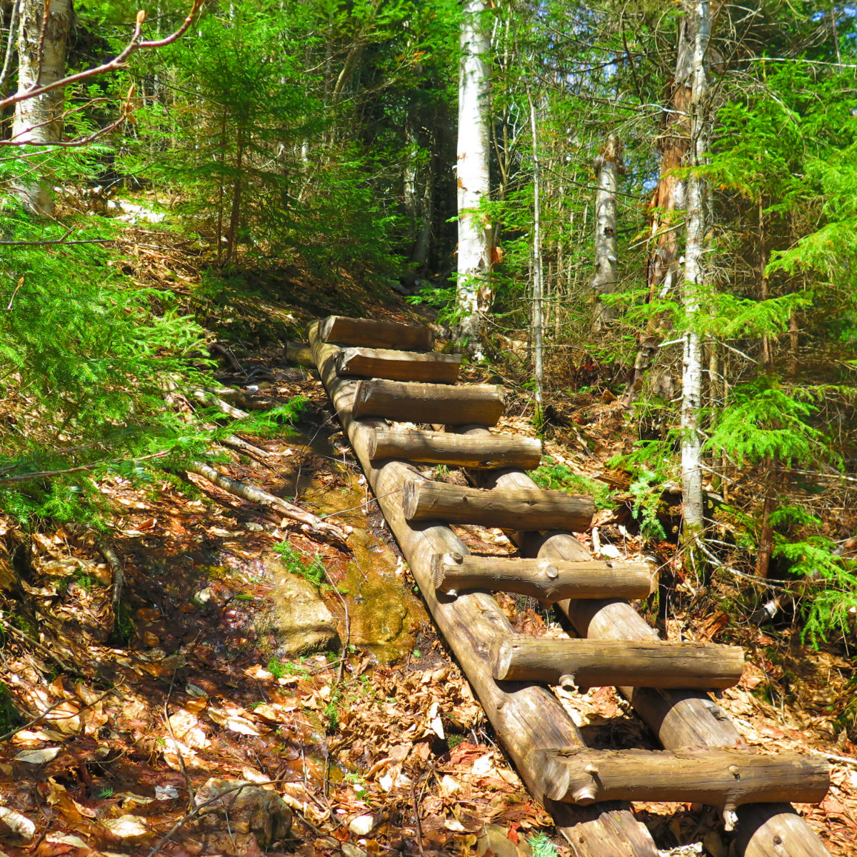
White Dot trail is quite steep and very rocky — you’re not long down the trail before it pitches upward very robustly, and there’s a lot of scrambling, quite a bit of hand-over-foot climbing, and no shortage of rock-hopping. For its height and length of trail, it’ll hold its own against any mountain in the Whites. Consider your level of fitness before attempting this mountain, especially in the colder months. And know that despite it being a trail that gets a lot of sun throughout the day, there are still many spots where ice accumulates. Footing is not always guaranteed.
Regardless of what trail you take up, after about 5/8 to 3/4 of the way to the summit, you’re either above treeline or close enough to it that it doesn’t matter. Monadnock has a comparatively low summit, less than most mountains in the Whites. And yet, it’s the tallest thing around, so it can get quite windy and cold up there. Don’t underestimate its weather. It may be “small” and it’s the closest “big hike” to Boston without being a truly “big hike”, but it can still deliver a good, firm lash to the unprepared. In the colder months, remember to stop in at the ranger’s hut, and if they express reservations about your ability to complete the hike, take them at their word. They’re not out to get you, or to make you feel small, only to keep you safe. The mountain can be dangerous.
If you enjoy reading these posts, consider subscribing. Your email will only be used to alert you of new posts — typically 1-2 times per week. I will not use or share your email for any other purpose without your express permission.

3 thoughts on “Training Hike: Mt Monadnock”