In a few essays so far, I’ve been talking around the idea of managing risk while hiking. To guard against getting lost, we learn navigation. To guard against getting cold, we dress properly. Today, I want to take a more forthright examination of the concept. I think if there’s one thing I want people to take with them into the mountains, it’s an enhanced awareness of risk, and a tendency to spend time actively looking into the future, scoping out risk. It’s only by seeking risk that we can manage it — being proactive, not reactive. I think of prudence as doing everything I can to avoid being caught flat-footed. You should too.
We already manage risk in our daily lives, because it’s pretty unavoidable without ceasing those activities that make us human, and even those which are essential. Crossing the road is inherently risky, so we manage that by looking both ways before stepping off the curb. Cooking has its own risks, and so we take care with sharp knives, around the hot stove, and so on. On the trail, it’s just a logical extension of what we do normally.
Now, I want to add. Risk management shouldn’t be thought of as any one specific thing, but more of a habit of mind. Go kayaking? Risk management. Hop in the car to run some errands? Risk management. Get on a plane to visit your friend in Duluth? You got it: risk management. And it shouldn’t be so much a dogmatic, one-size-fits-all approach, because risks for one activity may not apply to another. “Don a helmet and flame retardant clothing, and fasten your five point safety harness” is fine for auto racing. Not so much for assessing the risks of going sailing on the lake. Think of it as more of a framework, on which you hang the specifics of your activity.
Risk management should also be an integral part of your greater situational awareness. Just as you’re minding where you’re going, and where others are in your party, you should also keep in that same scope an appreciation of what the weather is up to. What time is it, and how long until it’s dark? Where are you? How far do you need to go to reach your destination? What is your current status regarding well being, food and water? Is there a water source nearby? Do you anticipate any of this to change, for better or for worse? How will your risk management schema adapt to confront what’s expected? Unexpected?
I also want to state: this is just one framework. It’s certainly not the only one. Go into a hospital, they manage risk in a way particular to health care. Airline pilots have their own tweaks to the process. Fortune 500 CEOs have their priorities baked into their risk management paradigms. You may hike with kids, or pets, and your travels might extend to Nepal or Peru. You or someone in your party may have a medical condition that needs to be considered. Again, the most important tool you have is the one between your ears. Don’t take my words as gospel. Look around and see how others do things, and take from them what you need to stay safe. Evaluate, research, improve.
So to break things down systematically, this is a way that I approach a hike.
- Define the objective.
- Research.
- Identify hazards.
- Assess risks.
- Probability
- Severity/Criticality
- Mitigation
- Acceptability
- Identify go/no-go.
Crucially, the framework doesn’t just sit on my desk at home. It comes along for the ride, and an additional component is added:
Maintain situational awareness, reevaluate and adapt as necessary.
A good framework should be able to accommodate all the expected possibilities, but it won’t, by nature of the outdoors, be “fail-safe.” There will be things that just blind-side you. And to that end, if a failure is encountered, the framework shouldn’t be so brittle as to fall apart like a house of cards. Failures ideally should be graceful. A failure in one area shouldn’t affect the whole thing, or at least, should do so as minimally as possible. Like bamboo, your framework should bend, not break in the wind.
Objective
Defining the objective needn’t boil down to anything: it can be pretty simple. “Hike Mt Washington” is all you need. Basically, I look for a place to start my research. You can add a layer or two of sophistication, such as “from Pinkham Notch” or whatever if it makes sense. I also keep a sense of basic no-go criteria in mind at this stage: if the weather forecast shows brutal cold and wind, Mt Washington isn’t going to be in the cards, and I’m instead going to scout around for a mountain with a tree-covered summit, where I’ll be sheltered from the worst of it.
Research
Next, I do my research. I’ll check the weather on the Mt Washington Observatory’s Higher Summits Forecast. I’ll also look for trail information, either at New England Trail Conditions, or in the various guidebooks. I’ll check my blog for the last time I hiked that mountain, if applicable. If the trail gets weird, my mantra is that I can always turn around and go home, but it’d be better if I didn’t have to do that in the first place.
Risks
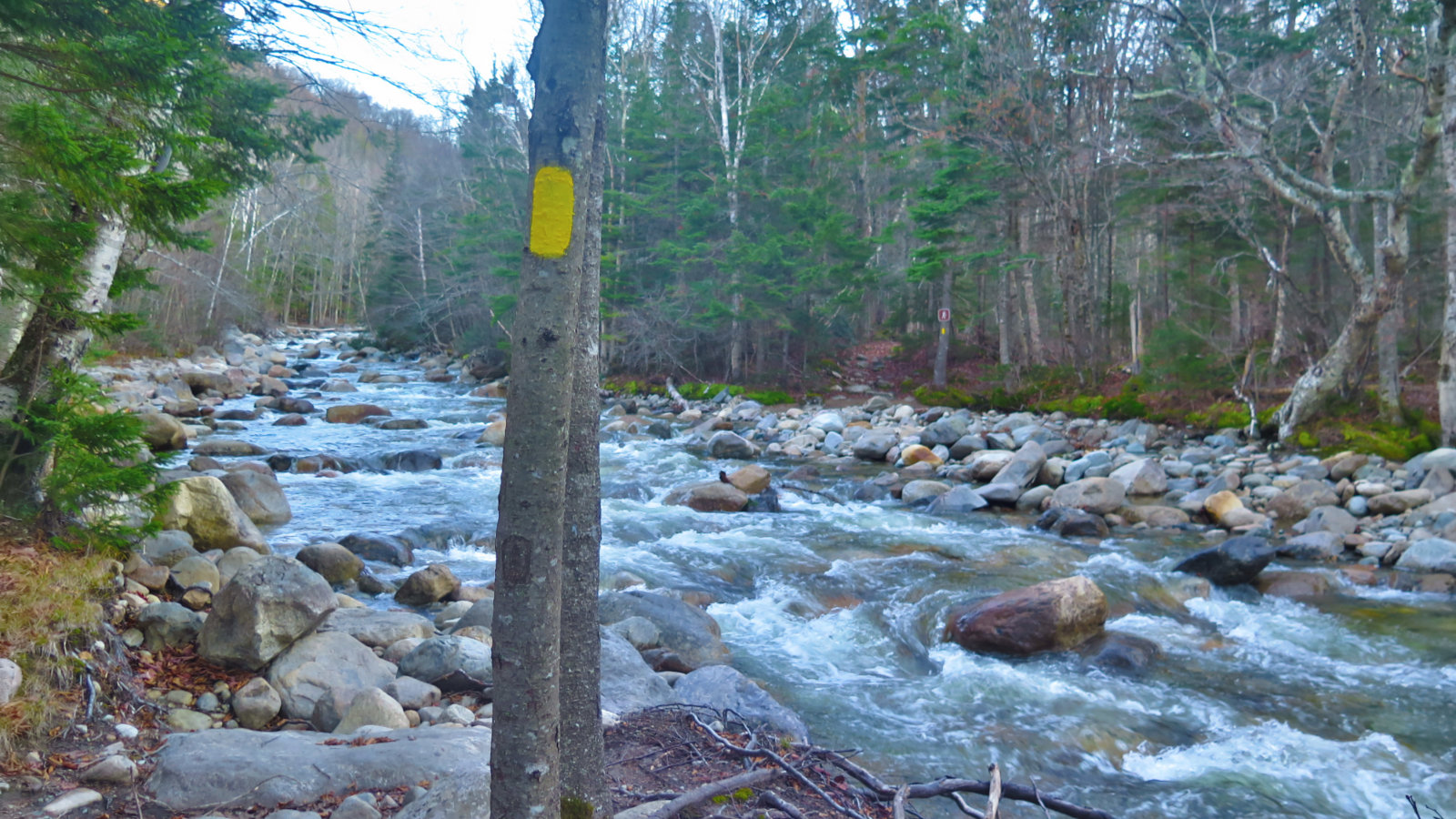
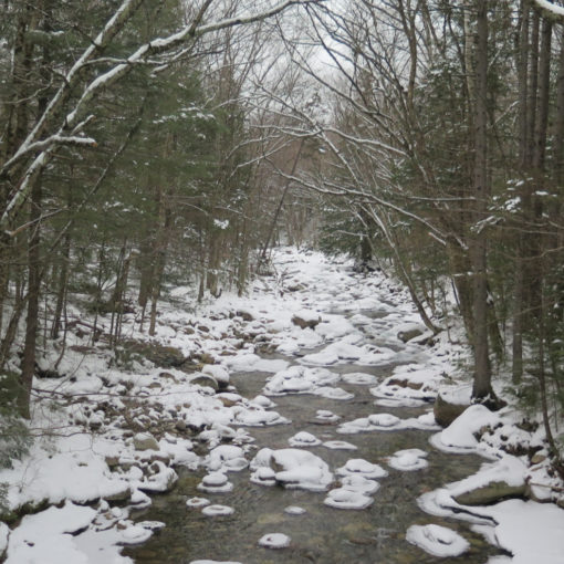
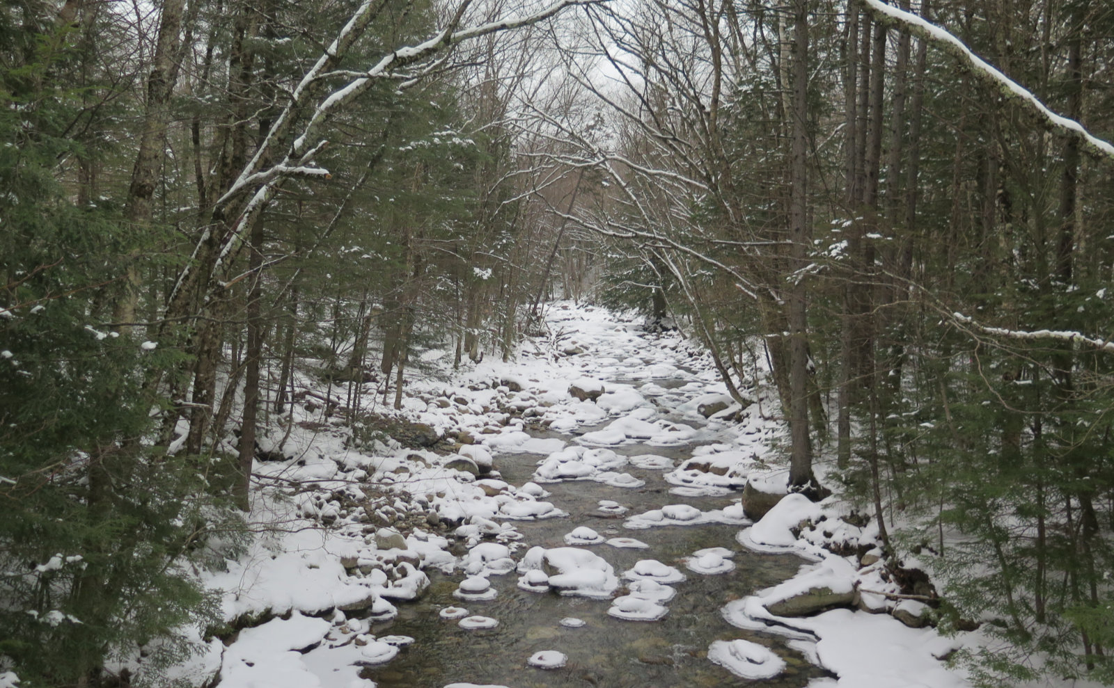
And now, hopefully, I’ve pieced together a sense of what to expect. That includes hazards. So, for example, a well known hazard on Owl’s Head is that there are multiple water crossings. In summer, this is more of a refreshment, but in winter, taking an unexpected dip could be a huge problem. Going up the east side of Washington, a hazard could be avalanche. And so on. Risks can include the length of trail, especially in December and January, when the days are particularly short — night comes early. Fog can make following the trail a nightmare above treeline. Lose a hat or a mitten on the summit of Adams, and you could have big problems if its cold and windy.
Probability
With all this in mind, it’s time to assess the hazard. First, what’s the probability it’ll happen? As I write this, night falls at about 5 in the afternoon. The arrival of nighttime’s darkness everyday is not going to change, so that one’s got a 100% probability of happening. Similarly, unless it’s raining, you have a very low probability of getting your feet wet hiking from Lakes of the Clouds to the summit of Monroe. It’s not going to be scientific. I make a best guess, based on intuition and experience.
Severity
What’s the severity of the risk? All other things being equal, or at least benign, nightfall isn’t a severe risk. Indeed, it can be pleasant, especially if there’s a moon, or the stars are particularly clear that night. A hurricane blowing over the summit is a pretty severe life threat. Other things fit somewhere in the middle. A light snowfall might make a hike feel more magical, even though it might reduce visibility somewhat. A stiff wind can blow dry snow hither and yon, potentially obscuring the trail — perhaps even wiping out your bootprints (AKA breadcrumbs.)
One mental framework for assessing severity might be to make a graph, with “low-medium-high” for probability occupying one axis, and “none-minor-major-severe-deadly” for severity on another. “Bright sunny day in June” would be in the bottom left corner. “Thunderstorm passing over Lafayette’s summit” would be in the top right. And there’s a bunch of things that would be in various places in between. The probability of a tree branch falling on your head is a low probability, but it would almost certainly be a severe calamity should it ever happen. Likewise, darkness shows up every night, but with a headlamp, hiking could be a pleasant, low risk activity.
Mitigation
At this point, I’ve examined the hazards, and assigned probability and severity to them. Now it’s time to ask what I can do about them. How can I mitigate risks, and how effectively? An obvious example is Blueberry Ledges on Mt Whiteface. In winter, it gets pretty icy, and you won’t reach the summit without getting past that chimney. But with crampons and maybe an ice axe, I can zoom through that bit without much of a pause. Similarly, a windy day on the summit of Moosilauke is mitigated by windproof clothing, and maybe some Dermatone on my cheeks, nose, and ears. I have great snowshoes that can get me through deep drifts.
A mitigation strategy that should be foremost in everyone’s mind is trail choice. Beyond the simple “should I just stay home today, rather than chance it with a hurricane in the forecast” (which should be an obvious one!) I think of which trail I’m going to follow to the top. On a clear day with lots of wind in the forecast, it might not be a great idea to go up the Jewell trail. Indeed, it might be a better day going up Mt Waumbek.
Acceptability
There are risks I’m willing to take, and there are risks where I just won’t go there, not for love or money. In the summer, there’s a good chance that a fast moving afternoon squall could roll through, leaving me soaked to the bone. But on a 90 degree day, that might be a very acceptable risk, because after that squall blows through, the heat will have broken, and the remainder of the day will likely be much cooler and nicer.
But there are other times when I look at the risks and decide it’s not worth it. Going up North Twin, the water crossings might be doable early in the day. But a 50% chance of a storm after lunchtime could swell the Little River substantially, making those water crossings on the return quite perilous. Yeah, 50% is a flip of a coin, and we know New England weather can be tough to forecast, but even still, I might think of doing a different hike that day.
Now, it needs pointing out that inherent in the assessment of acceptability is a truthful understanding of your own strengths and weaknesses. Your best possible risk management plan could blow down like a straw hut if you overstate your own abilities. It’s OK to want to push hard. But true strength lies in accepting your vulnerabilities. That means also admitting them to members of your party — they may say “onward, upward!” You may need to be the party pooper. Remember my recent post: you need everyone to say go, but only one to say no. As an aside to this, if someone else in your party is visibly uncomfortable with a risk, but not speaking up, there’s a lot to be said for advocating for that person. The life you save might be your own.
Go/No-Go
Lastly, I’m going to set in my mind some no-go limits. The most well known is a turnaround time — the point in the day where, even if you’ve not achieved your objective, you’re turning back to the car. Most times, I set this when I get to the trailhead, because I typically take the number of hours until dusk, cut it in half, and set that as my time. But it can depend. Owl’s Head is a famously long, mostly flat approach. Walking out on Lincoln Woods trail in the dark is quite reasonable presuming you’ve got your headlamp. I certainly wouldn’t want to have to descend Daniel Webster Scout trail in the dark. (Down that path lies madness!) There may be other limits specific to a trail or a mountain. These get set as experience and conditions dictate. It could be “From Jackson, we’ll continue on via the AT to Pierce” with the caveat that if there’s deep snow on the trail after Jackson’s summit, you’ll cut the trip short right there.
Don’t forget the ride
By the way, it’s a good idea to think about the drive as much as you think about the trail. New Hampshire is famous for being frugal, and while plowing has gotten better in some places, it’s not at all a given that roads will be passable by anything other than tauntaun in many others. On Mt Cabot, parking at the fishery is probably going to be OK, but what will you do if they lock the gate before you can get out? What if you park somewhere, but with the snow and ice, your car gets stuck? There are a lot of places where you’re just not going to get a cell phone signal, and a tow truck might be hours in getting to you. So your risk management strategy should be at least cover “major road to major road” if not the more ideal “from home until I get back home.”
Let’s look at an example
So now, putting things together, let’s examine my recent trip up Mt Washington. It was an imperfect day, which makes it a perfect example. There was recent snow, it was windy, and the summit was socked-in for almost the entire trip.
Temps were around 20 degrees, and while it was a 10 MPH wind at Lakes of the Clouds, it was blowing steadily at 35 MPH at the summit. It was cloudy, with trail-level clouds/fog on Crawford Path, 50-100% humidity, and snow flurries in the afternoon. And being a week before xmas, darkness fell probably around half past 4 in the afternoon. Not a long day. And it’s Washington, so the overnight temperatures were going to be significantly colder.
Objective
So starting out, my objective was to hike up to the summit of Mt Washington via the Ammonoosuc Ravine trail and Crawford Path, by way of Lakes of the Clouds. My next step was to look at the forecast. The Higher Summits Forecast runs out a day and a half, and is usually pretty reliable. More than likely, it pointed out the 20 degree temps, dropping to zero, with winds from the west rising to the 30-40 MPH level through the afternoon, snow flurries possible in the afternoon, and it probably had the winds gusting to 75 overnight. As memory serves, that was about typical for that period — I’d been watching the weather like a hawk for days before that hike. (Their archives for the day fit that model.)
Research
I studied the maps, and noted the topography. I wanted to know where the steep bits were, the mileage, the overall orientation of the trails, and note any major landmarks. I also wanted to identify bail-out points, should I need them.
New England Trail Conditions didn’t have much to report, but I’d been on Ammo a few days prior, so unlike most trips, I had recent experience to draw upon. I knew first hand what the snow was like, and in those passing few days, it hadn’t snowed more than a trace. It also helps that I have a friend who lives in the north country, and could tell me what it was like in his front yard.
Lastly, I checked my blog post, and looked at when I hiked up that way last February. I knew from there that Crawford Path ought to be quite nice for footing, though it was also very exposed to the wind.
Assess hazards
So with research done, it was now time to take stock of the hazards. From experience and research, I knew to expect:
- High winds
- Below freezing temperatures
- Snow flurries
- Few daylight hours
- Clouds and fog
- Base Station Road wasn’t going to be plowed to the pavement. Don’t forget, risk extends from home back to home.
The wind and the cold could join forces and drastically increase severity — windchill increases at a huge rate, and on Crawford Path, there’s nothing to check the wind, nowhere really to find shelter in the upper half. Snow flurries, and the clouds and fog, would each reduce visibility for sure, but they could also synergistically increase severity. The snow on Base Station Road would make or break the trip early — I wanted to head up from the Cog parking lot to save some time, and the Ammonoosuc Ravine trailhead parking was unrealistic for my car due to minimal plowing, so if I couldn’t get up to the railway station, nothing else would matter.
Mitigation strategies
From there, I planned mitigation strategies. My gear was adjusted and packed; I added some windproof fleece hats and gloves. I brought a sleeping bag, my stove, extra food and clothes, and a few other things, like reflective blankets. I had my map, compass, and spares of each, plus my GPS for navigation in case I couldn’t see cairns. And I planned on bringing my snowshoes and wearing crampons to deal with the snow and ice on the trail.
Of the risks, I was straight-up willing to hike out in darkness as long as I was below Gem Pool — the trail flattens out a lot, and is very un-technical and easy to follow, and I bring my headlamp and spare batteries on every hike. So if I set out down from Lakes of the Clouds by around 3:00 or so, I felt I’d be fine in case of a sub-optimal scenario. I felt I’d mitigated the cold and wind to an acceptable level with my gear choices, and I knew that the “hiker dungeon” beneath the AMC hut was an option if things really went sideways. And I felt my navigation skills would be up to the task, especially where Crawford Path has a large number of cairns, and they’re mostly quite close to each other. Below Lakes of the Clouds, the trail is lined with trees, and easy to follow. (And I had the added familiarity from having hiked it recently.)
Go/No-Go
Lastly, I needed to consider the go/no-go parameters. I thought of the previous trip, where I turned around after having to deal with deep snow. I also knew there was a chance I’d get out of work late, and thusly wouldn’t make it to the trailhead early enough to get back down past Gem Pool by dusk. And I set the intentionally vague turn-around parameter of “comfort.”
And that’s an important thing to consider. We can plan for everything and have bombproof mitigation strategies, if only we had perfect knowledge of what was to come. But we don’t, and so we can’t. We can plan for the known knowns, and the known unknowns, but we can’t plan for the unknown unknowns. For those, a good plan should include enough flexibility to deal with the unexpected, or at least be able to fail gracefully enough to offer a soft landing. Where things fall outside of my comfort zone, the no-go would be to cut the trip short.
On the trail
Now, on the trail itself, I’m bringing this framework, but modifying it slightly. I’m thinking forward, but I’m no longer dealing with vague data sets. I’ve got boots on the ground. I’m experiencing directly whether the weather prognosticators blew it, or got it mostly right.
Most parts of the framework aren’t going to change, especially assessment, which should always remain an ongoing process. I’m always evaluating hazards, determining their probability and their severity, mitigating as needed.
From the time I leave the house, I ask myself “should I be here?” When I get to the trailhead, I look at the first bits of the trail, and ask that question again. In fact, about every few minutes, I’m directly asking that question, forcing myself to both keep that mindset front and center. (If I reach a water crossing of any significance, such as crossing the Little River on North Twin, I’m especially asking that question.) I’m examining the changing conditions, evaluating, mitigating. They say that no battle plan survives first contact with the enemy, and who among us has ever seen a trail in pristine shape, with perfect weather overhead?
Your physical mitigation strategies are mostly set in stone (it being hard to fly back to the car and grab that wanted piece of gear) but you can still mitigate in other ways. Perhaps you wanted to go up one trail, and down another, but conditions just aren’t supporting that plan. OK, mitigate by taking the most favorable path (and maybe this means coming out at a different trailhead, and walking back to the car.) Even little things like having lunch back below the trees, instead of sitting on a chilly, windswept summit, are mitigation strategies. Sometimes, too many blow-downs, or a longer, harder climb to the summit means changing expectations for the rest of the hike. Again, graceful failures save the day. No part of the plan should be so brittle that it breaks anything else.
And underscoring everything is the mantra: the mountains have been here for thousands of years. I can turn around at any time, and when I come back, they’ll still be here, waiting. It goes hand-in-glove with “should I be here?”
So that’s how I approach a hike, certainly in the colder months. Honestly, I don’t always look that hard at the forecast in summertime, especially if the area weather is calling for a bluebird day. There might be a good chance of a quick afternoon shower, but the pains and perils of getting a little wet are different then than they are in the winter. In the winter, the stakes are higher, so I’m toeing the line on safety. So if you decide to use this to plan, remember to consider the totality of your outing when evaluating any of its elements. And if in doubt, lean towards being very conservative. The mountains will wait for you. No need to rush.
As always, stay safe out there. Remember, your destination is your safe return to the trailhead.
If you enjoy reading these posts, please subscribe — stay in the loop! Your email will only be used to alert you of new posts — typically 1-2 times per week. I will not use or share your email for any other purpose without your express permission. And feel free to share via social media using the buttons below.
Find me in the mountains, on this blog, or on Twitter: @Protean_Hiker

