And so it begins again…
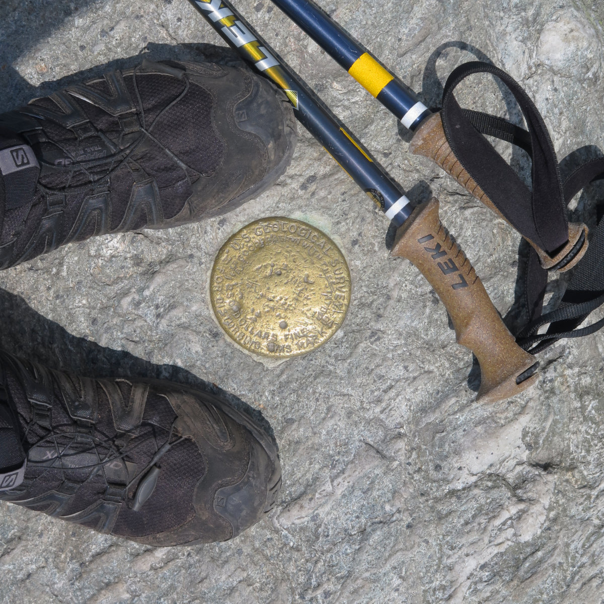
Mt Mansfield Chin, 4,395 feet. Underhill, VT. With a hike along the ridge to the Forehead.
82 dF at trailhead, approx 88 dF at summit. Hazy to start, giving way to mostly sunny skies and 20 miles visibility. Breezy at summit — approximately 10-15 MPH.
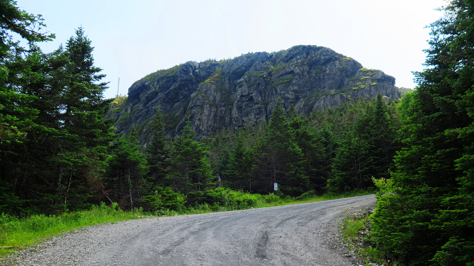
Via Eagle Cut trail, CCC road, Sunset Ridge trail, Long Trail, and Halfway House trail.
Trailhead: 1020, The Chin: 1300, Forehead: 1430. Car: 1630. Approximately 8 miles.
After finishing the NH 48, I turned my eyes west, to the Green Mountain state. There’s a new Maine Mountain Guide that’s just been released by the AMC, and my copy is still in the mail. So, logistics…
The Green Mountain Club is super concentrated on the Long Trail. As such, the bounty of AMC offerings as far as books and maps aren’t present in Vermont. Hikers, beware. That’s not saying “here be dragons”, but it is saying that there’s not the one-stop shopping like you get with the AMC in the Whites. However, on arriving at Underhill State Park, I was greeted by very friendly staff, one of whom handed me a decent map and was able to offer great advice about trails. It’s worth also noting that the summits were similarly staffed by caretakers.
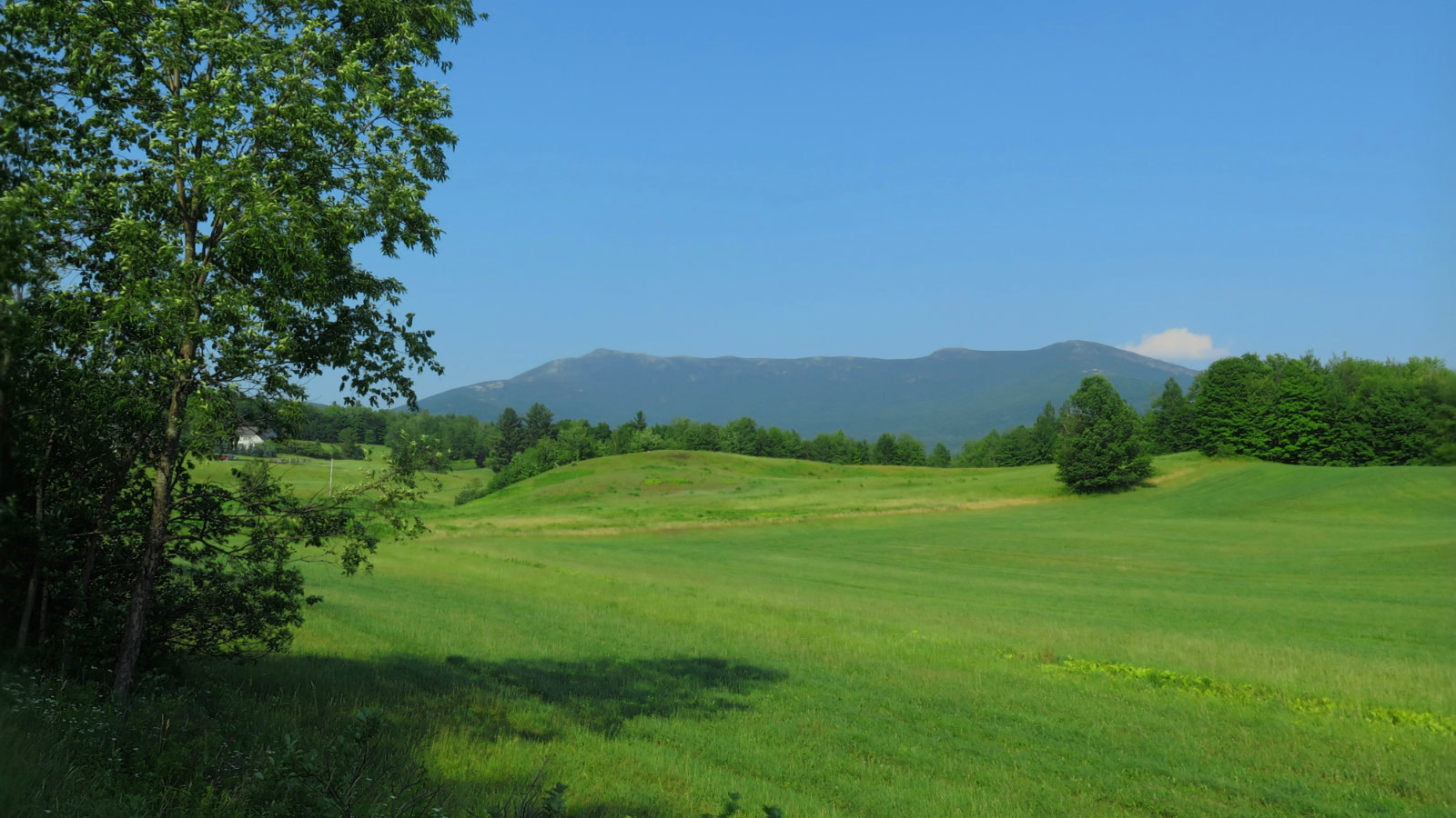
By their advice, I avoided the Laura Cowles trail. The recent rains have made the trail a virtual stream, and being mindful of trail erosion, I didn’t want that. I went up Sunset Ridge trail, and even though it was still fairly hazy on the ridge, I did get some nice views. It’s a good trail going up, with sure footing throughout.
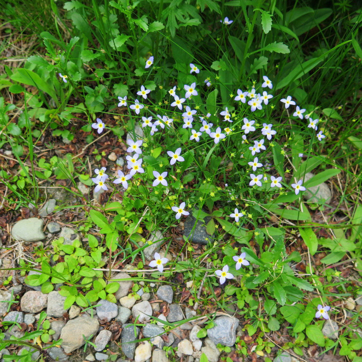
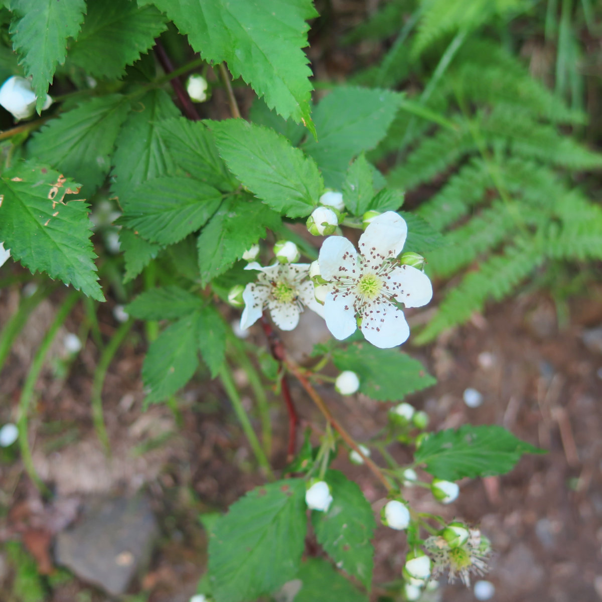
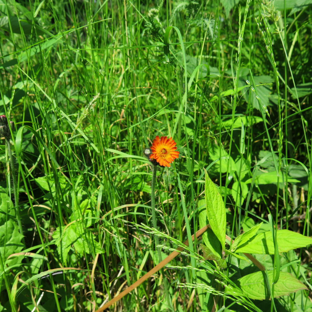
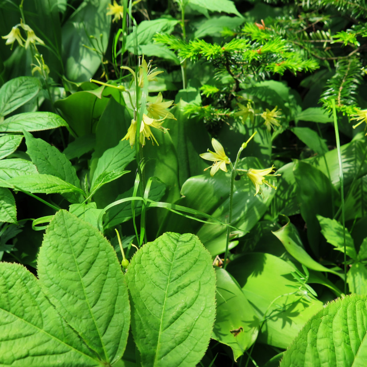
Below tree line, the green tunnel is very much in effect, and as you ascend, the species change in line with elevation in the expected way. I was happy when I got higher and the breeze was able to penetrate the canopy a bit, taking the edge off the otherwise oppressive heat. Yeah, it was hot out, even in the mountains.
True to the state’s reputation of “Vermud”, the trail was quite wet in a lot of places, but for the most part, there are either stepping stones or roots. It’s only in a few places where you’ve got no choice but to plow through a mud puddle.
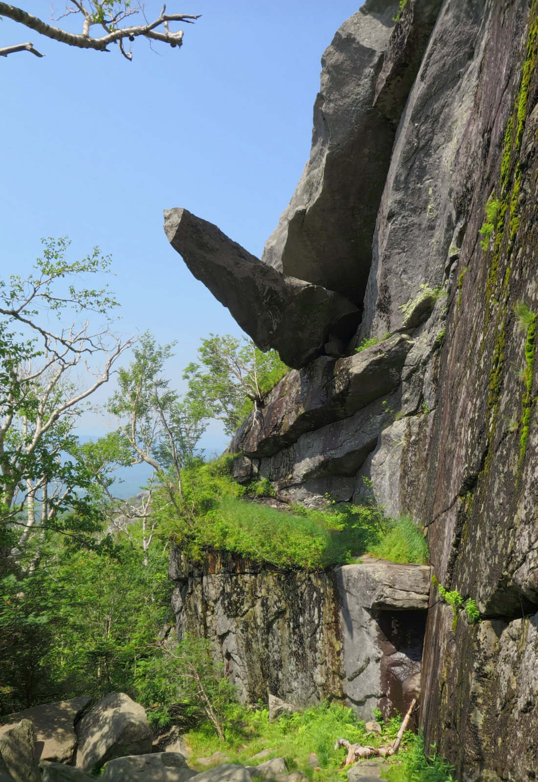
More-or-less halfway, there’s a short, 0.2 mile spur to the NW that leads to Cantilever Rock. This is a spectacle to see. A large (around 30 feet or so) slender “obelisk” of rock cleaved off the mountain, and cantilevered itself such that it juts out into space. If you look carefully, you can see the way it cleaved off, and you could imagine how it got where it is. The spur is pretty easy going, with a few small bits of rock-hopping near the end. Make 10 minutes to see this one. It’s worth it.
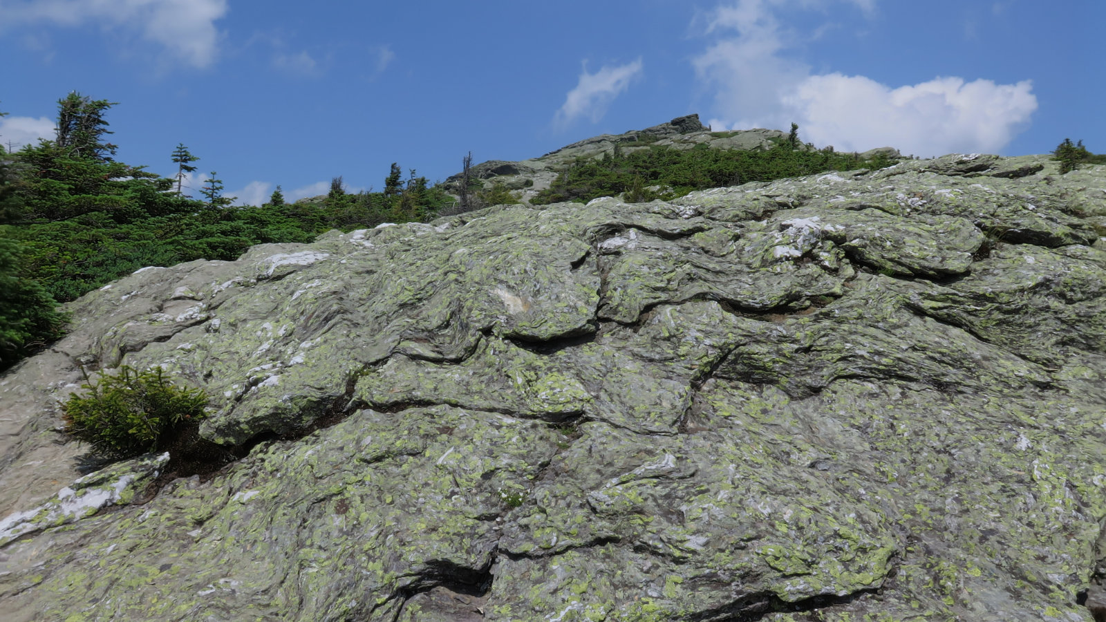
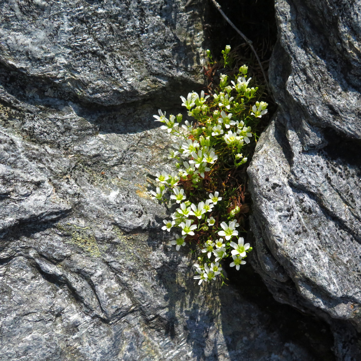
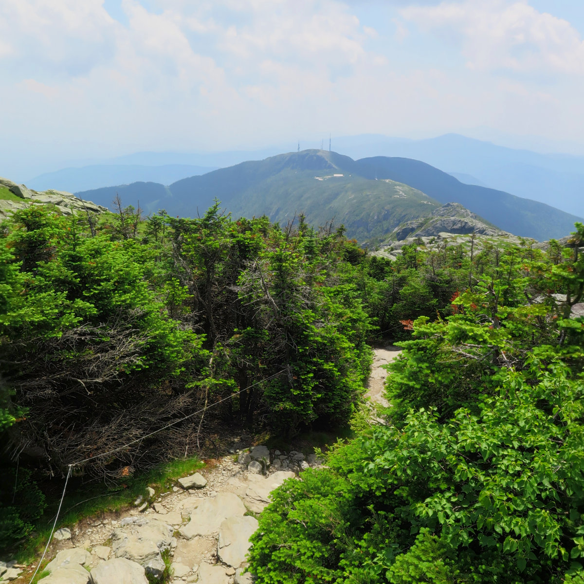
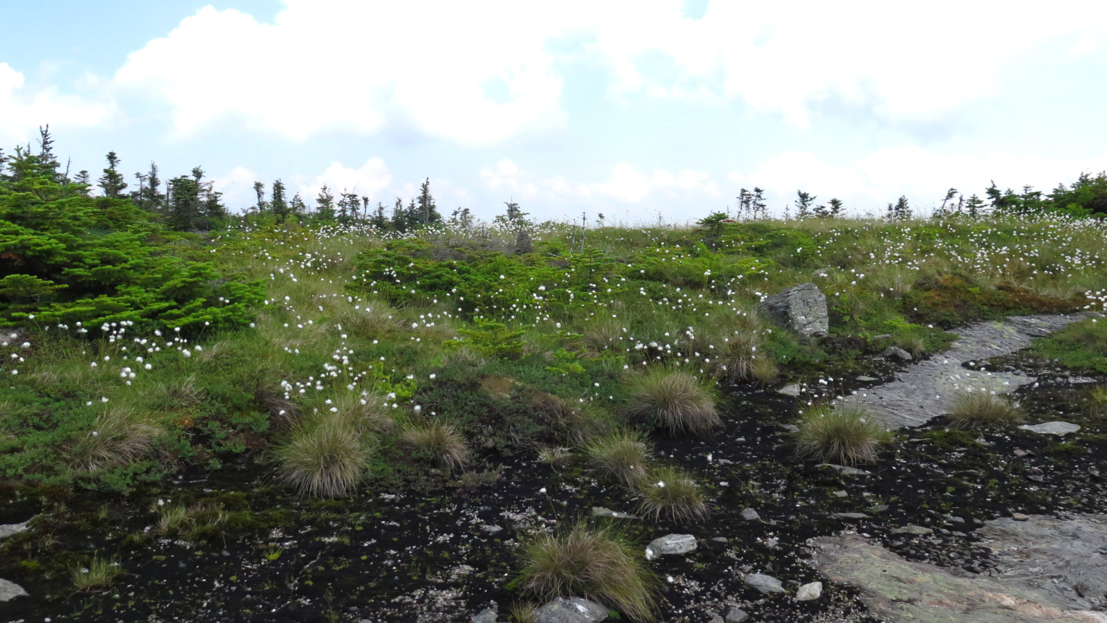
Above tree line, the caretakers have laid out string denoting the edges of the trail. Beyond lie Vermont’s alpine tundra, and it’s only on Mansfield, Camel’s Hump, and Abraham that this stuff exists. I saw a few people here and there oblivious to the fact that a footstep can kill this stuff, which was concerning.
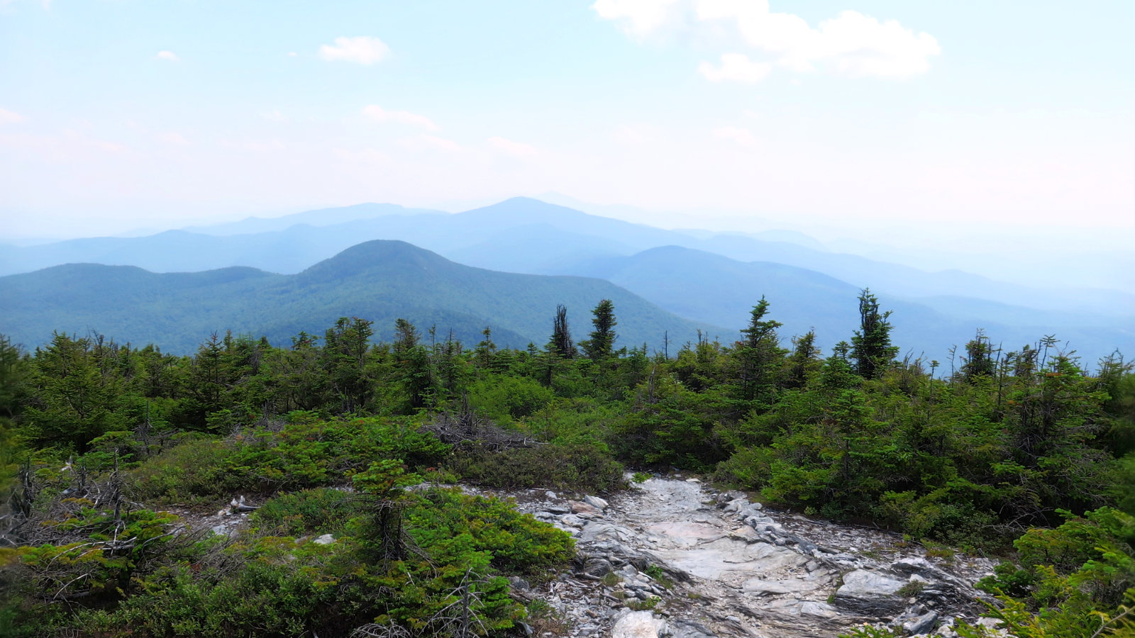
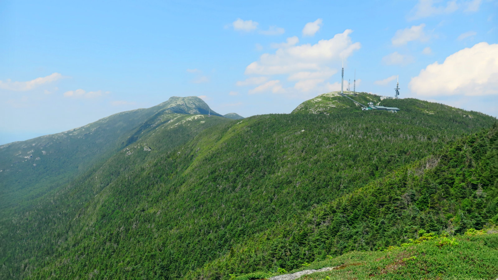
The haze cleared considerably by the time I got to the summit, and I had a better view, though still not the kind you’d get in February or March. Regardless, I was on a mountain, which is all that counts. And so I turned to the south, and hiked along the Long Trail to the Forehead. Wow, what a view! The haze reduced the mountains to simple shapes, softening edges.
Heading back, I stopped on the other side of the nose, and hiked down the auto road for a bit. A couple switchbacks down is a small spring, and I needed water. Did I mention the sun, the heat, and the humidity? Keep your eyes to the right and you’ll see a small frog pond with the kind of water you don’t even want to wade in. But just after that, you’ll hear the sound of trickling water, and there’s a plastic pipe with spring water issuing forth. It’s clean (I DID, though, sterilize it first, which everyone should do as a matter of principle) and tasty, and most of all, very cold and refreshing.
I returned via the Halfway House trail, which had a couple slightly steep bits and one ladder section. Not bad going down, but you do need to be thoughtful in places. On the lower half, it flattens out a fair bit. On the CCC road, I had smooth sailing, and not long after, was back at the car.
After the rush to finish the 48 by the end of Springtime, I needed a few days to recover and catch up on things around the house. But I was feeling the ever-present call the whole time. Bagging Vermont’s highest peak was just what the doctor ordered.
If you enjoy reading these posts, consider subscribing. Your email will only be used to alert you of new posts — typically 1-2 times per week. I will not use or share your email for any other purpose without your express permission.
5 thoughts on “Trip Report: Mt Mansfield”